By Deb Carroll
A hike along the Maine Appalachian Trail, and the side trails which link the AT to surrounding peaks, is most often measured in terms of mileage, elevation gain/loss, and hours or days spent on the trail. Hikes, however, can also be measured in the progression of flora, leaves, mosses and berries as the weather and seasons change, the number of north or southbound thru hikers encountered, the sounds and sightings of wildlife, and the moments of joy shared with hiking companions.
Sunday, August 6, 2016, was a day in which all of the above were covered thoroughly, making for a full and happy day on the trail.
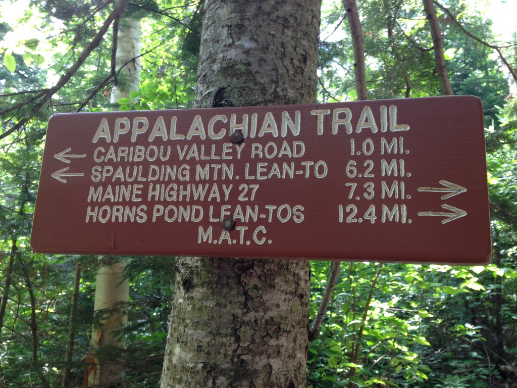
Caribou Valley Road “CVR” in Carrabassett Valley, Maine, intersects with the AT between Spaulding and South Crocker mountains. CVR is a rough road that is impassable in winter and early spring, and gnarly even in the best conditions. It is an unmarked side road on the left side of Route 27, about 1 mile north of Sugarloaf Mountain Resort.
To find the trailhead on CVR, drive several miles until you reach a gate. Park there and put your boots on. Setting out on foot, you’ll cross a metal bridge and walk a half mile or so further along CVR. The spot where the AT crosses is marked, but it’s easy to miss, so keep your eyes open for a small cairn and white blazes. Taking a left at that intersection leads to Sugarloaf, Spaulding and all points south, while a right turn will take you north, toward the Crockers.
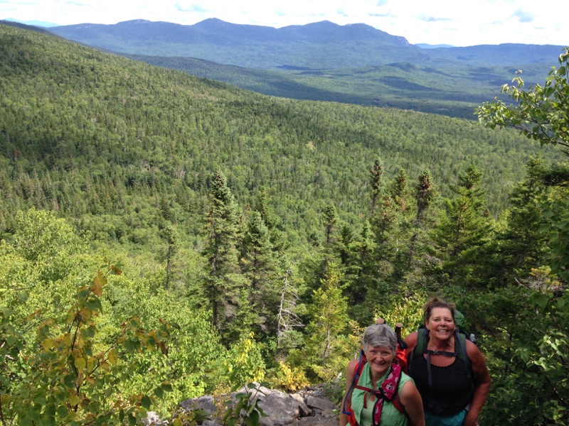
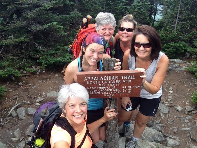
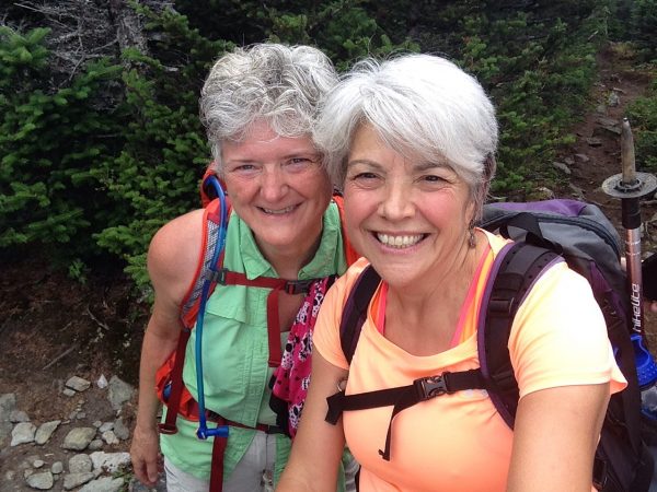
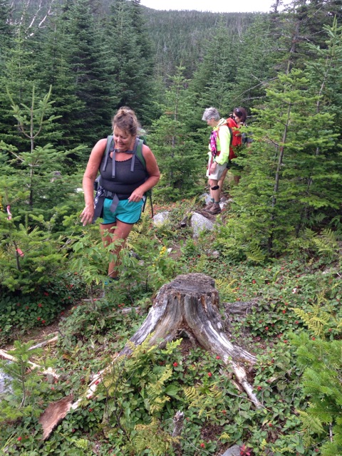
For our MATLT hike up South Crocker, North Crocker and Redington, our group of 5 women left the parking lot at 9:15AM. The hike to the highpoint of South Crocker wound upward, gradually getting steeper and crossing several rock slides and a wonderfully healthy hanging bog, as we got closer to the summit. The summit of South Crocker is heavily wooded, with a man-made viewpoint just a few steps to the left of the AT offering views of Spaulding and Abraham. The destruction caused by the recent lightning strike and forest fire on Middle Abraham was still quite evident.
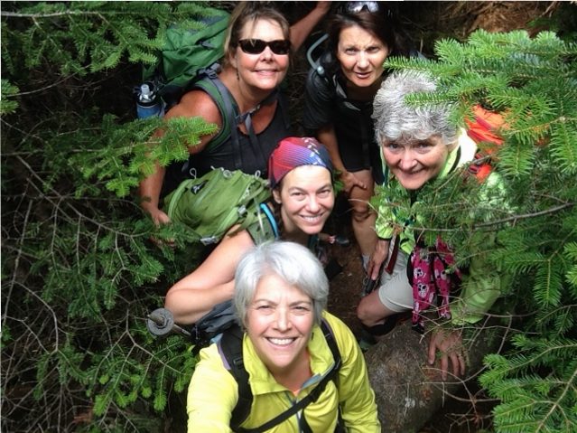
We continued on to the summit of North Crocker, just 1 mile further along the AT. After snapping a few photos and some fun trail shenanigans on this wooded summit, we returned to South Crocker to start our bushwhack to Mount Redington, one of Maine’s 14 4,000 footers. To quote a hiker who we met (for the 2nd time that day at the summit of South Crocker) as he was returning from the summit of Redington, the trail to Redington “is the best unmarked trail he’s ever been on.” This was our experience as well. The trail to Redington veered to the right side of the side trail that led to the viewpoint on South Crocker, less than 20’ from the viewpoint.
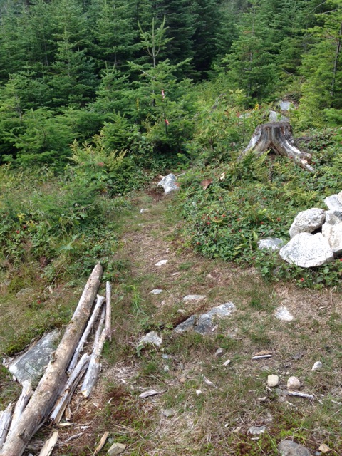
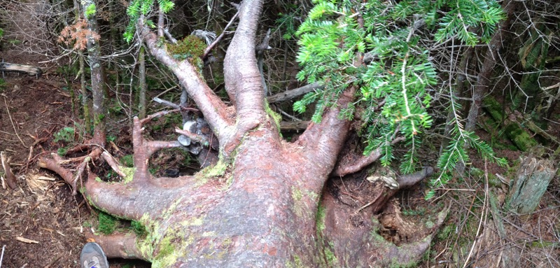
Although the Redington side trail was very narrow and unimproved, with blowdowns and some seemingly unnecessary twists and turns, it was marked with pink and orange ribbons, relatively well trodden, and was, for the most part, easy to follow. After 1.2 miles we emerged in the clearing at the top of Redington. The canister, which marked the true summit, was off to the side of the clearing on a path marked with blue ribbons. Inside of the canister we found and signed the log book, adding our names to the list of those who had also found their way there. Although the markers on each summit say otherwise, as the result of relatively recent updated surveys, the summit of Redington, like the summit of Spaulding, now measures more than 4,000’.
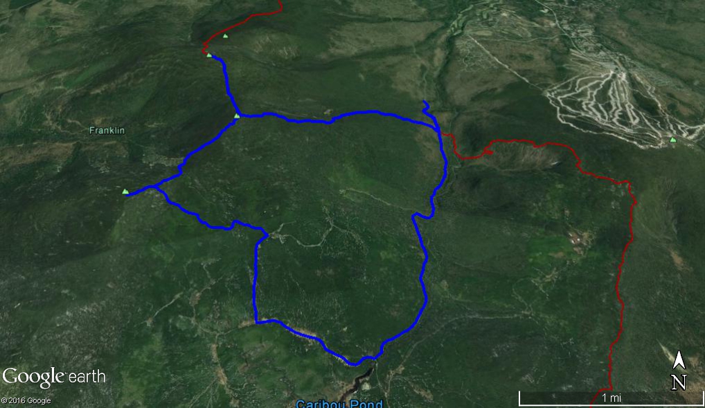
On the way up, one sharp-sighted woman in our party had noticed a side trail a short way from the summit of Redington. After checking maps and compass, we ascertained that this was likely the trail that would take us down Redington and back to CVR. This trail proved to be somewhat more difficult to follow as it was even narrower than the trail up. After a mile or 2, the trail emptied onto what appeared to be either an ATV trail or an old logging road. Whatever they were, they were in bad shape. Using our maps and compass, as well as GPS technology, we were able to make our way along these roads until we found the Carrabassett River and CVR. Although we may have walked an extra 2 or 3 miles, we elected to play it safe and follow these rough “roads” all the way rather than chance a possible bushwhack through thick woods with no trail whatsoever.
Looking left as we walked along CVR, a quarter mile or so shy of where we originally joined the AT and entered the woods, we came across a side trail that might lead up ATV trails/logging roads to the trail we had taken from the summit. Perhaps, next time, we’ll reverse our route and head up that way.
We emerged from the woods after nearly 11 miles, tired but with great joy and pride in what we had accomplished, and made our ways home.

