“Why are you assessing views?”
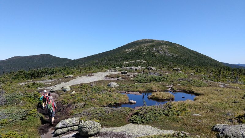
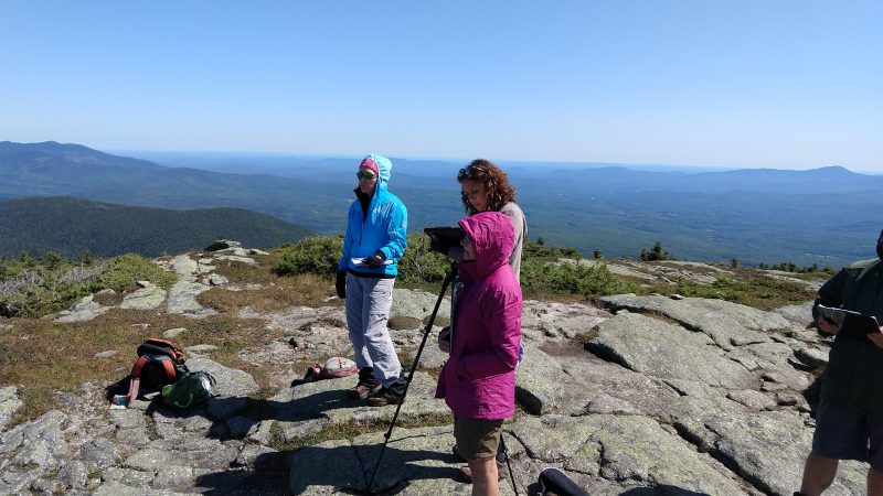
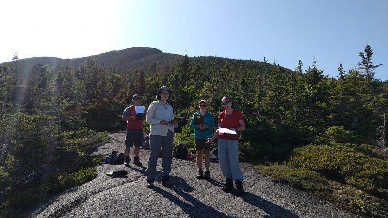
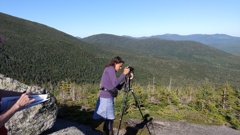
This was the most frequently asked question we heard during the recent Visual Resources Inventory pilot the Maine Appalachian Trail Land Trust took part in, but examining views on the ridge of Saddleback Mountain from the Berry Picker’s Trail to The Horn. The National Park Service has been working on a program called Enjoy the View and the Appalachian National Scenic Trail was chosen as a test site to deploy the methodology of assessing views. The Maine Appalachian Trail Land Trust works in many of the areas directly in view from many of Maine’s most scenic viewpoints, and we have a longstanding relationship with the National Park Service, Appalachian Trail Conservancy and the Maine Appalachian Trail Club (all of whom are running the pilot).
But why are we assessing views?
When conservation organizations determine which lands need protection, we rely on data: mostly geospatial data, or GIS. We have GIS data on all kinds of values that are important for the Appalachian Trail: climate resilience, rare/threatened species habitat, trails, water quality, ecological community types, soils, etc. There is data on what you can see from the Appalachian Trail, but the data is very broad and is not accurate enough to help us plan for A.T. land protection in Maine. However, this is the mission of the National Park Service:
The National Park Service preserves unimpaired the natural and cultural resources and values of the National Park System for the enjoyment, education, and inspiration of this and future generations. The Park Service cooperates with partners to extend the benefits of natural and cultural resource conservation and outdoor recreation throughout this country and the world.
One of, if not the, most important resources of the Appalachian Trail is the scenic beauty. Up to now, we have not really had a way to “assess” this resource. The other values we look to are quantifiable: acres of habitat, miles of trails, categories of ecological communities. With the creation of this Visual Resources Inventory, it is hoped that we now have a way to measure the scenic beauty of different spots along the A.T. in Maine, so that they most important can be protected for all of us to enjoy.
Note: We will have a follow-up article on this program next month!