The Maine Appalachian Trail Land Trust was fortunate enough to receive a free monitoring and management flight from LightHawk, a national organization devoted to providing conservation services to land trusts for the purposes of collecting data, imagery, and observations about conserved lands.
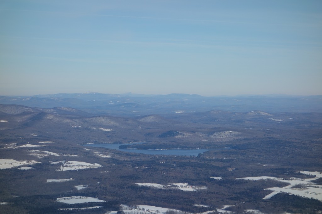
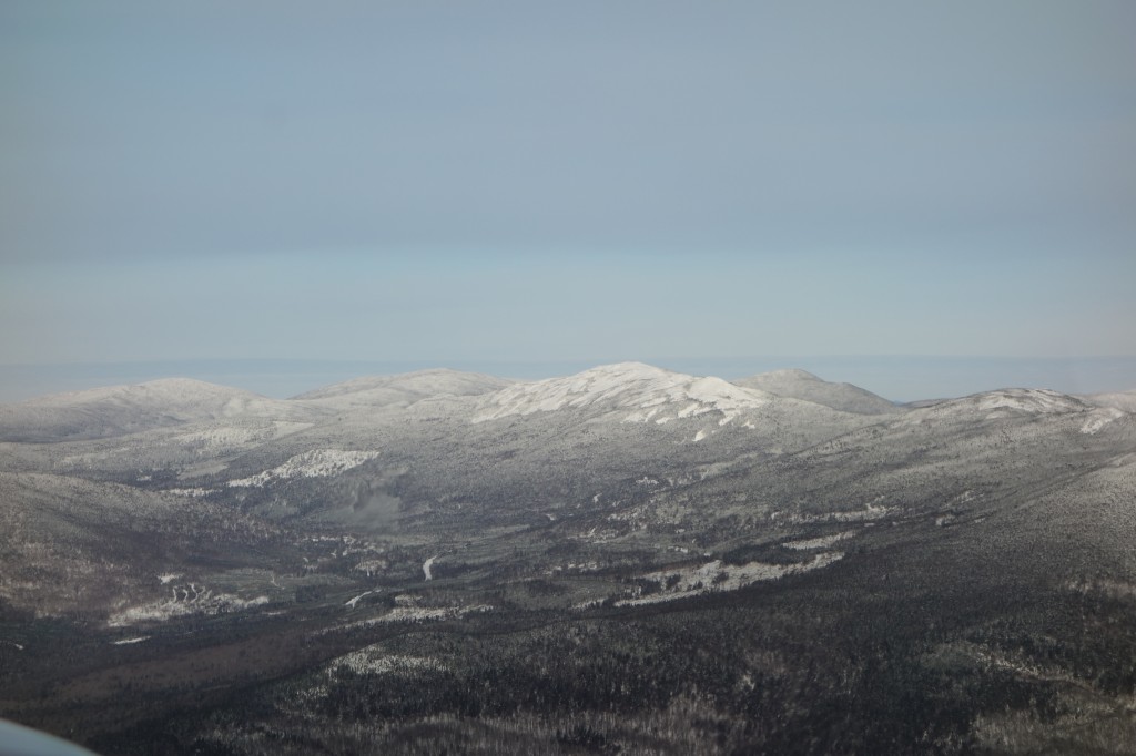
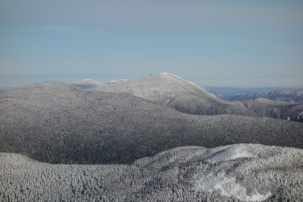
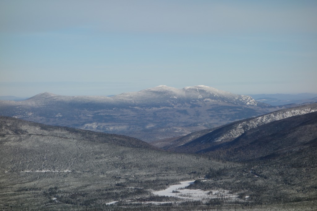
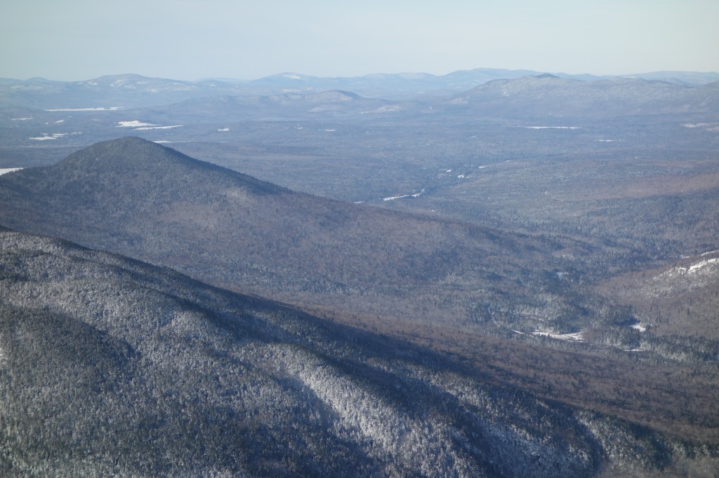
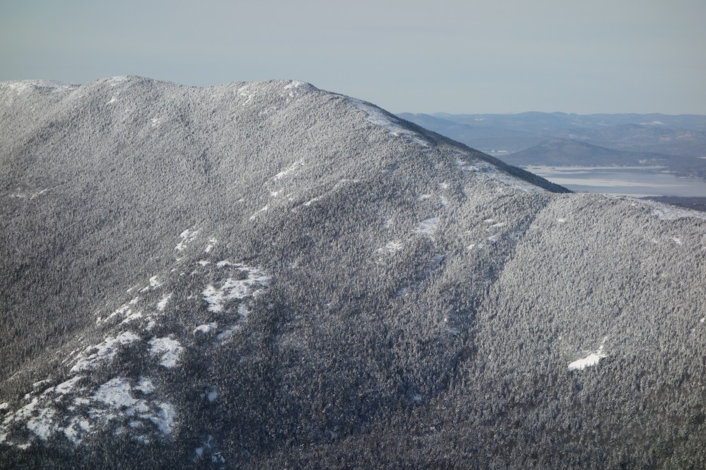
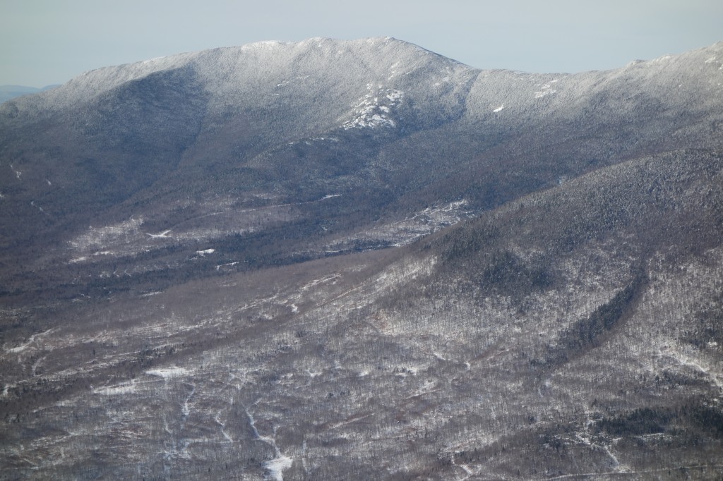
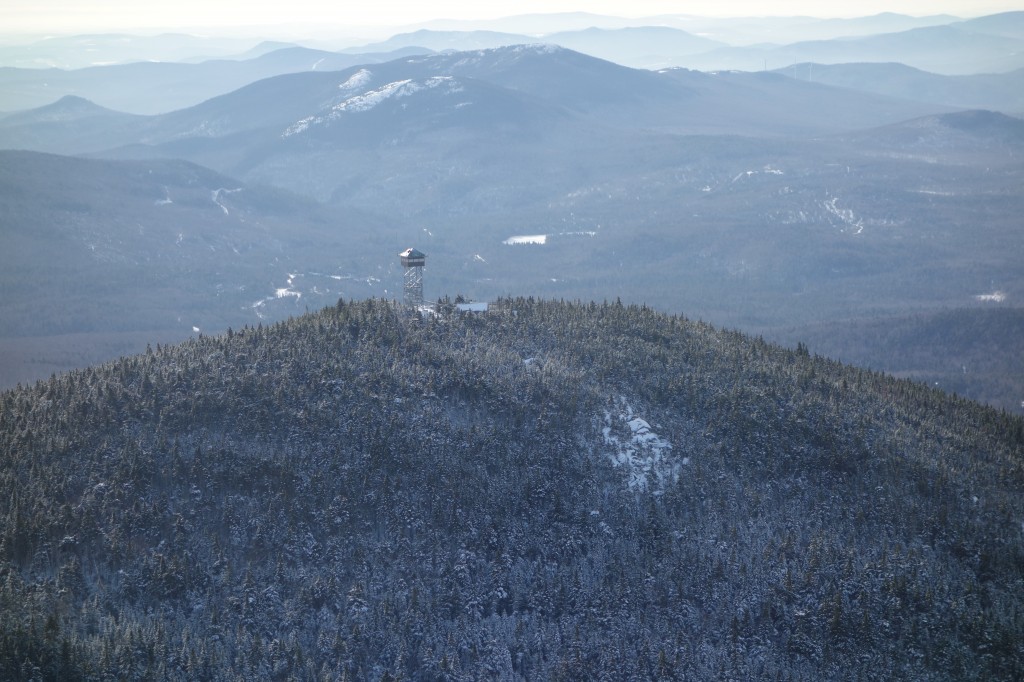
In our case, there were two properties in question: a conservation easement over the highest terrain of Mount Abraham, and a fee parcel on the southeastern flank of Saddleback Mountain. Both of these properties are well over one thousand acres in area, contain difficult terrain, and are hard to access from the ground. This LightHawk flight enabled Maine Appalachian Trail Land Trust to aerially monitor the Mount Abraham easement and compile data and images for a new management plan for Saddleback Mountain. Without this generous donation, we would have had to expend many hours and many thousands of dollars on these critical land trust duties.
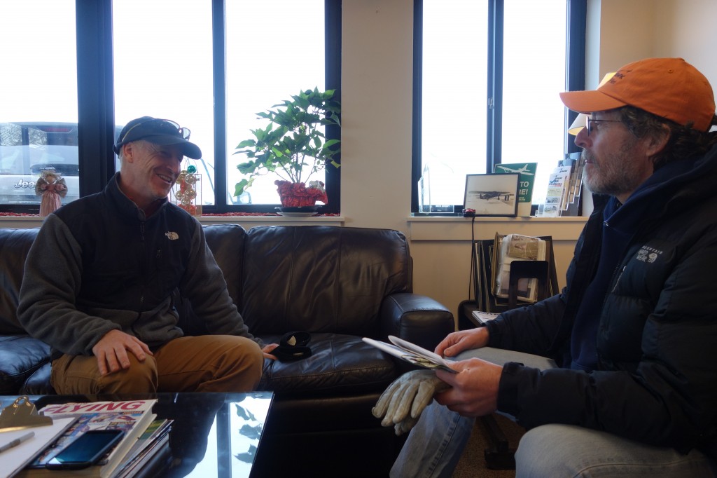
Special thanks to Jonathan Milne, Atlantic and Midwest Region Program Manager for LightHawk, and pilot Jim Knowles.
All photos by Simon Rucker/Maine Appalachian Trail Land Trust/LightHawk.