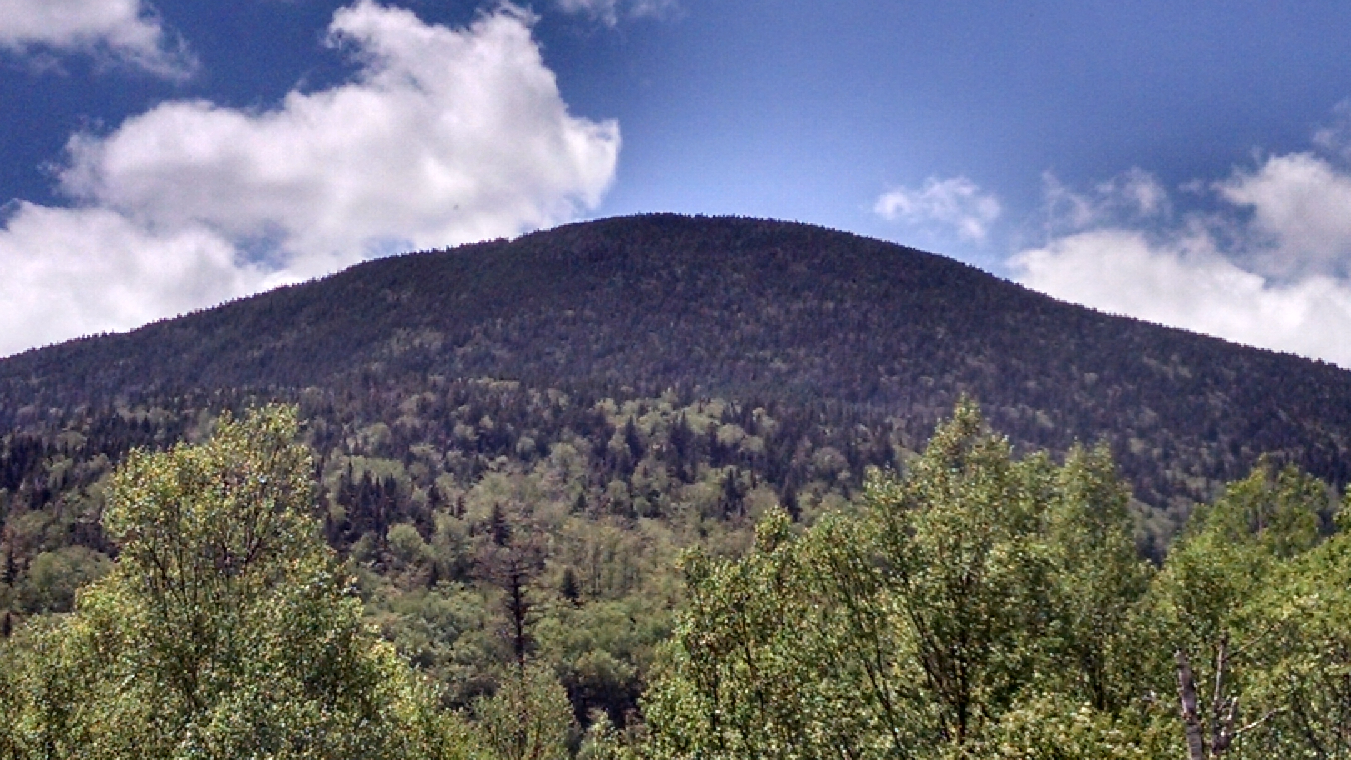
Maine A.T. Land Trust Director Tony Barrett, Executive Director Simon Rucker and Trust for Public Land Project Manager Gregg Caporossi made an site visit to the Redington Forest property last week. As you can see from the photos, the land is covered in vast forests which are crossed with numerous streams.
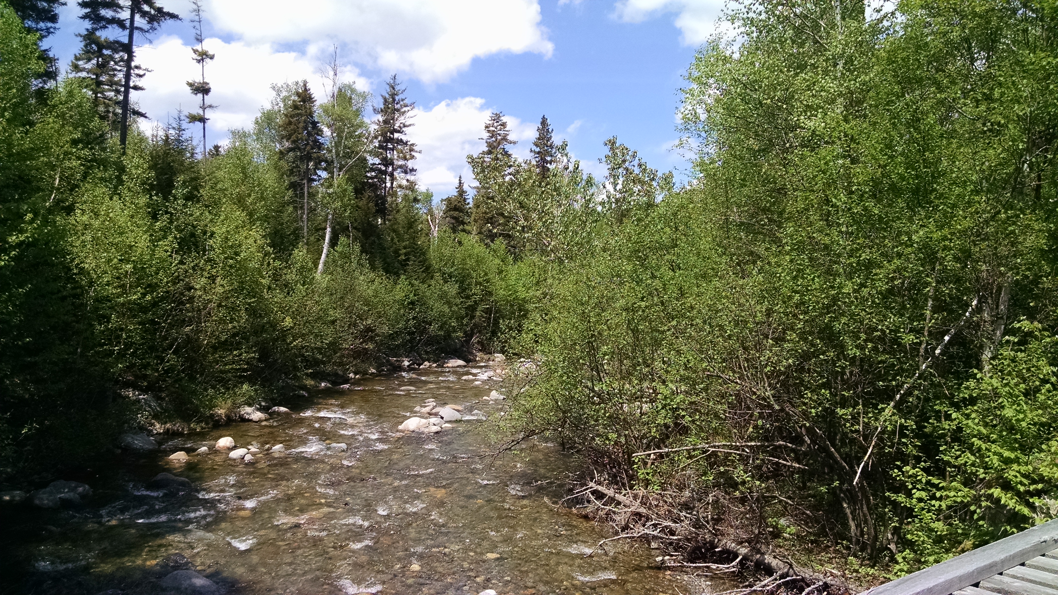
The roads were in fairly good shape and the bridge crossings were the cause of only minor heart attacks. Nash Stream varies in size from a rivulet a few feet wide in the north to a major stream – almost a river – in the south.
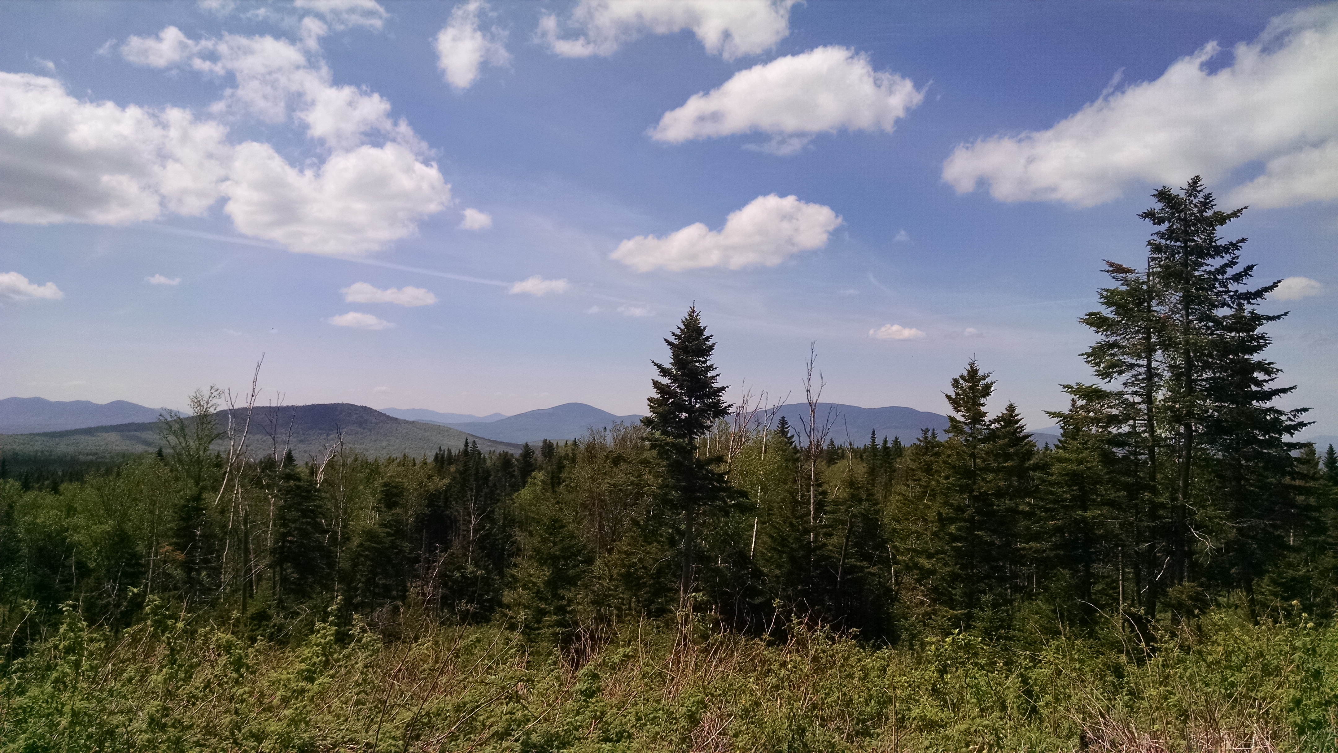
The southern area of Redington Forest ranges from about 2,000 to 3,000 feet in elevation, providing for sweeping views to the north.
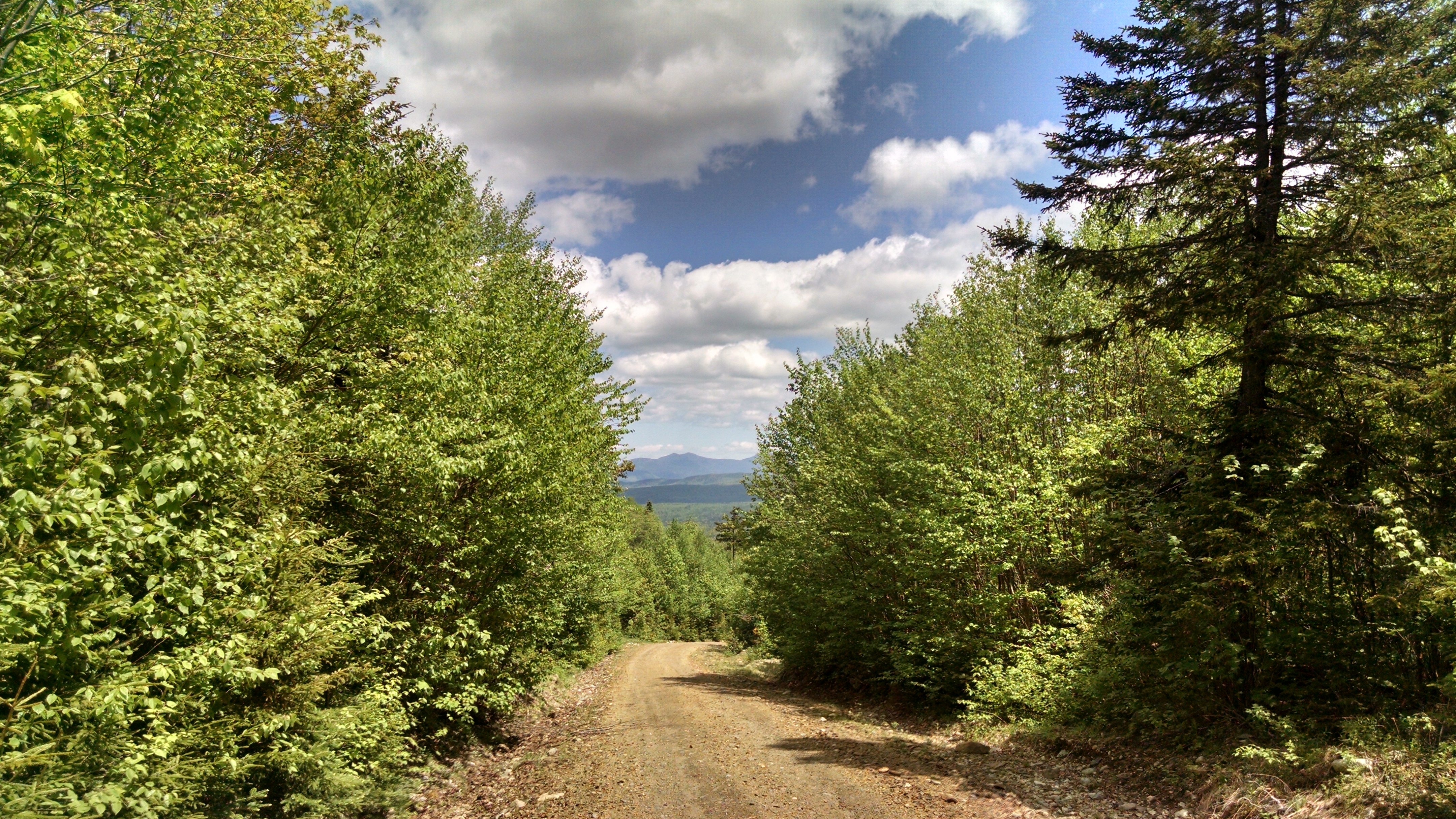
As this was mostly a driving tour, we were not able to access most of the eastern portion of the property along the Appalachian Trail, but we will be heading up there soon enough and will post more photos.