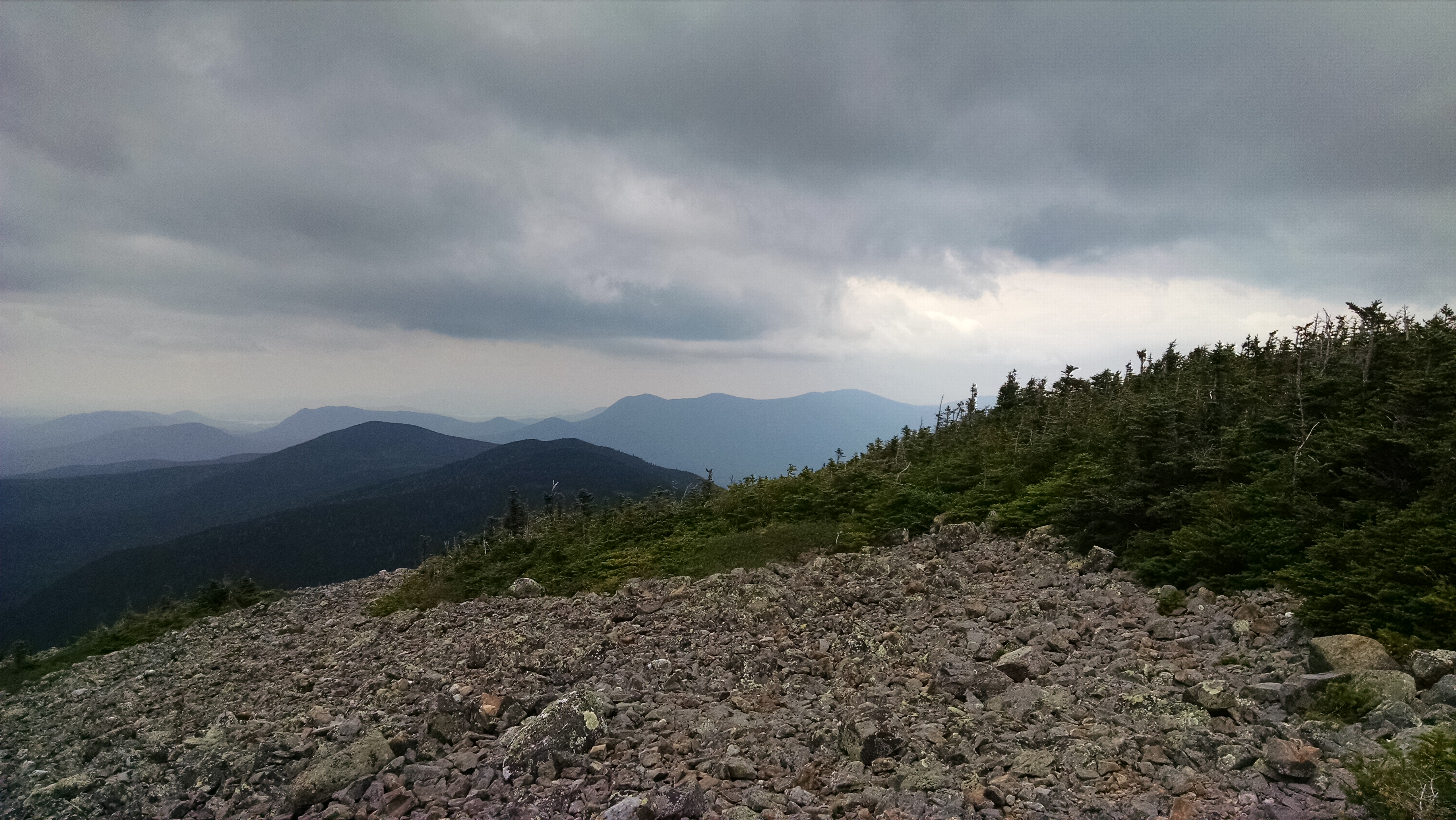
Maine A.T. Land Trust Vice President Pete McKinley and Executive Director Simon Rucker headed up to the White Cap Mountain range recently as part of the due diligence process for the land trust’s role in the Gulf Hagas-Whitecap project. The Appalachian Trail was routed over White Cap Mountain (3,654 feet) in the 1930’s by Walter D. Greene, a Broadway actor, Maine Guide and early proponent of the Appalachian Trail. McKinley and Rucker took the White Brook Trail, an official A.T. side trail, which can be accessed via the Katahdin Iron Works Road from Brownville Junction. This is very rugged territory and this trail is in need of a Maintainer, but it is a spectacular hike.
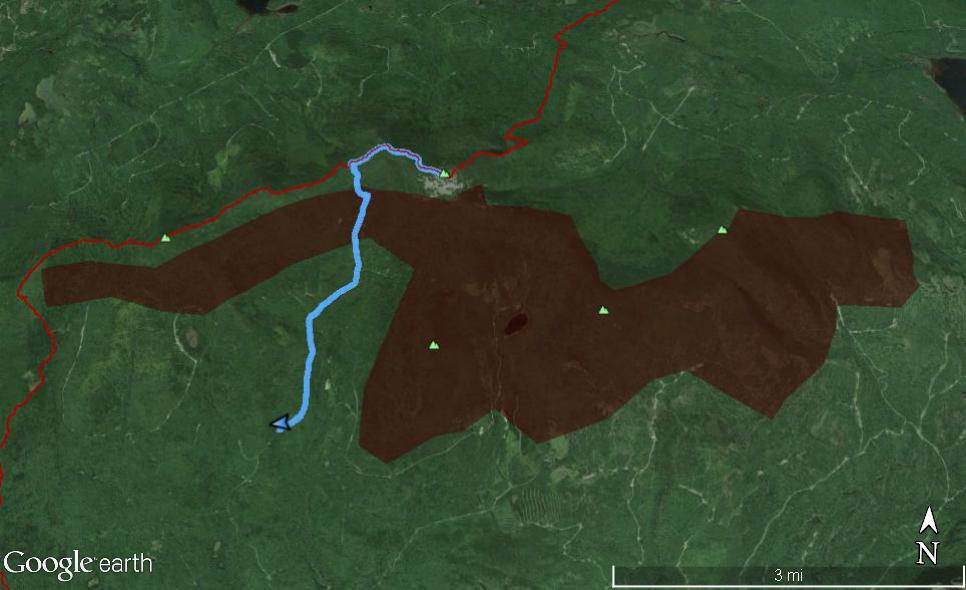
Maine Appalachian Trail Land Trust will likely be holding a property interest bordering on the A.T. corridor just to the south of the White Cap range (the mountain is known in different sources as either “White Cap” or “Whitecap” but the former is more common). This area would encompass Big Spruce, Little Spruce, Big Shanty and Little Shanty Mountains. All four peaks are at or near 3,000 feet in elevation.
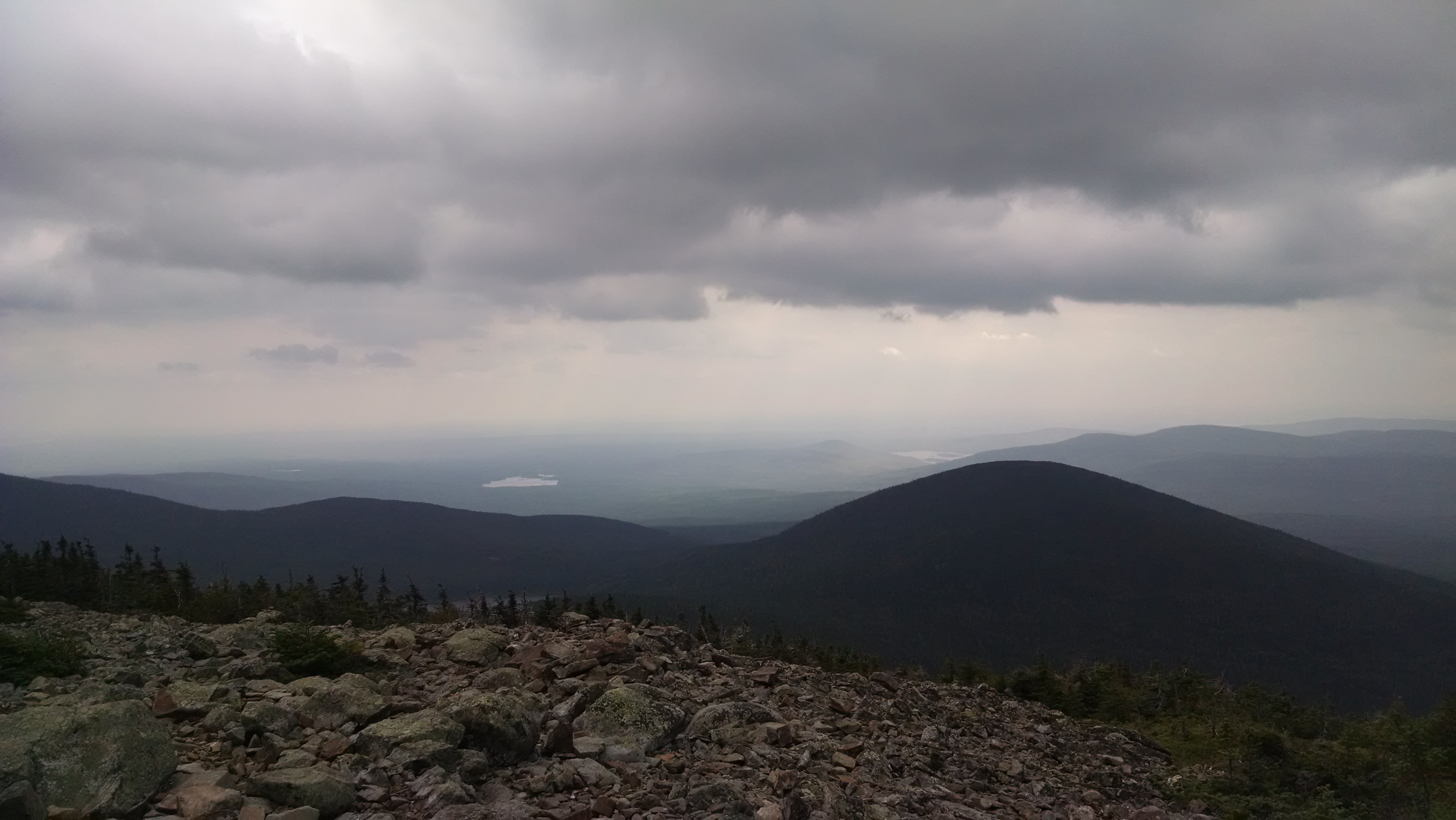
This area has been logged in the past, but most of it is too rugged and inaccessible and has an unspoiled quality. The land would make a wonderful addition to the A.T. corridor south of White Cap Mountain, and the greater Gulf Hagas-Whitecap project will protect some fourteen miles of the A.T.
Check our website for more updates on this project.