Fall is the time of year when many land trusts fulfill stewardship obligations. Summertime hikes have ended, the leaves are off the trees (providing for increased visibility), and snow has yet to lay deeply on the ground. Why is this important?
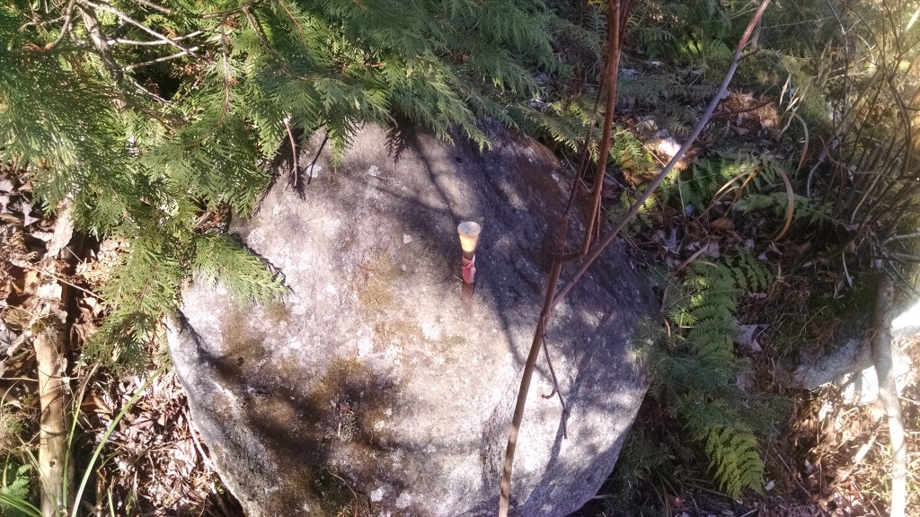
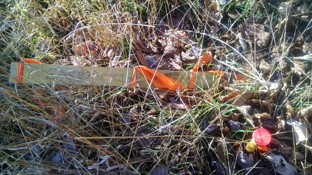
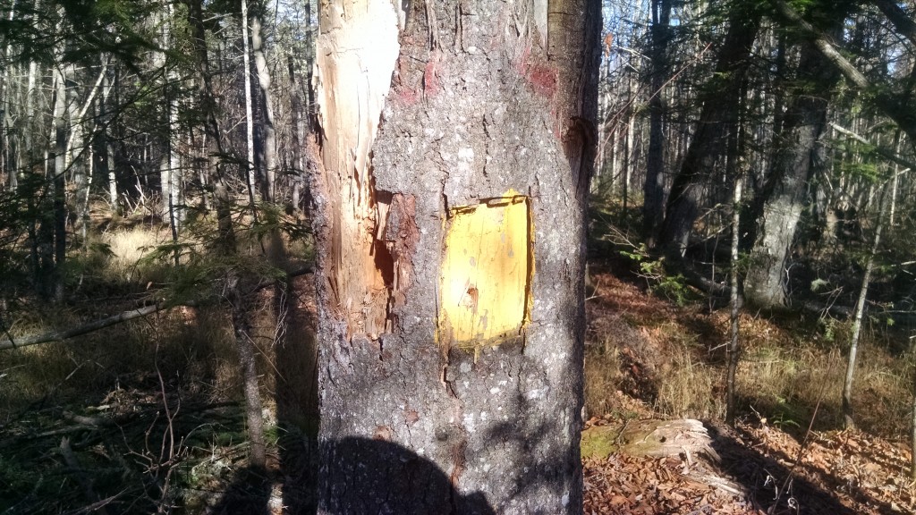
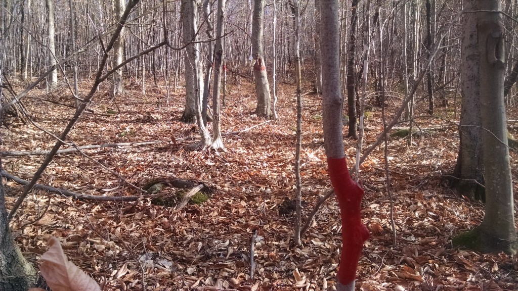
As you can see from the slideshow above, many land trust properties in Maine and elsewhere have boundary markers in the woods, and these markers are most visible during the fall. Part of stewardship – taking care of held properties by ensuring that the conservation values continue to be protected – is making sure that the boundaries are marked and that there are no encroachments or actions prohibited by the easement or management plan (like the dumping of garbage). The photos you see here were taken on one of our smaller conservation easements along the Appalachian Trail. We also hold fee and easement properties that are very large – in the thousands of acres – and in that case, a sampling of boundary areas is taken.
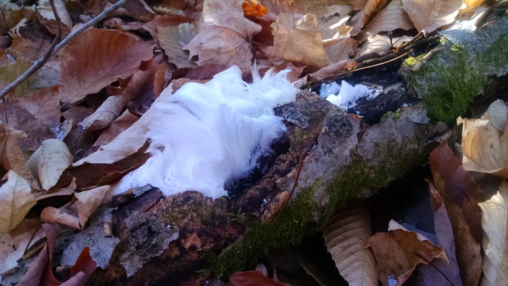
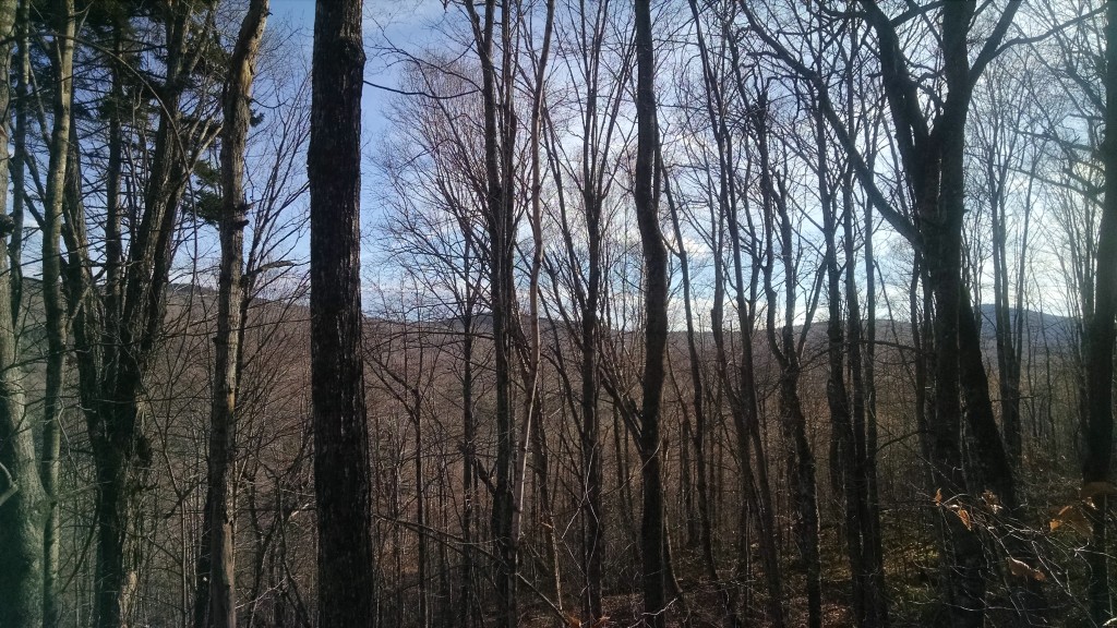
The landscapes we protect are also very beautiful and getting out for a monitoring visit is a rewarding experience. If you are interested in accompanying staff on a monitoring hike, please let us know!