By Deb Carroll
We chose the weekend after the summer solstice for the occasion of the Maine Appalachian Trail Land Trust’s Spaulding Option Hike, which at a minimum meant hiking up Spaulding Mountain but there was the option for an overnight with two more peaks. The plan was to spot cars at the Mount Abraham Fire Warden Trail trailhead, and then proceed to the Caribou Valley Road A.T. crossing in another car.
After meeting in Kingfield, we spotted one car in the small parking lot about a half mile from the Mt. Abraham trail head. We proceeded down West Kingfield Road and found Rapid Stream Road, the road to the trailhead, to be marked with somewhat rough and inaccurate signs, but we made it there so they got the job done. After the hike out, we discovered that the 2 new bridges between the parking lot and the trailhead were in excellent shape and the roads dry and smooth enough for most any vehicle. Next time, we decided, we would drive all the way to the trailhead.
Caribou Valley Road is just under a mile north of the Sugarloaf Access Road and is not well marked. Look for the steep grade sign and a left turn onto an unmarked dirt road which turns back sharply. After about 5 miles of rough road we came to a locked gate and a small parking lot where we began our hike. Though the road does continue, it is not passable by car and so we walked the half mile or so to the place where the Appalachian Trail crosses CVR. It’s tough to spot, so if you’re taking this route keep your eyes open for a small cairn on the right and white AT blazes just off the road. We entered the woods on the left side of CVR. Once on the trail we travelled on a moderate grade for a mile or so when the trail began to get steep and rocky. After 2.3 miles, we arrived at the spot where a side trail would take us .6 miles to the summit of Sugarloaf, our first 4K of the weekend. According to the Maine Mountain Guide book, Sugarloaf, at 4,237’, is the 3nd highest mountain in Maine and boasts the best views in Maine, second only to Katahdin.
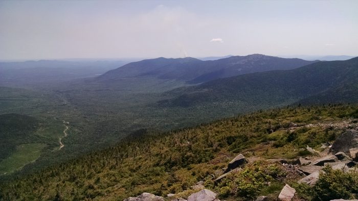
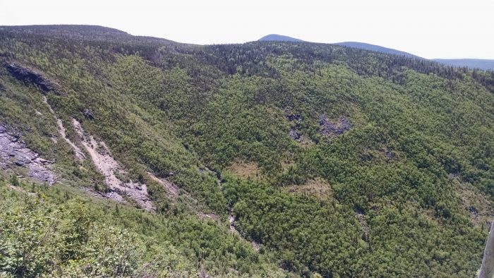
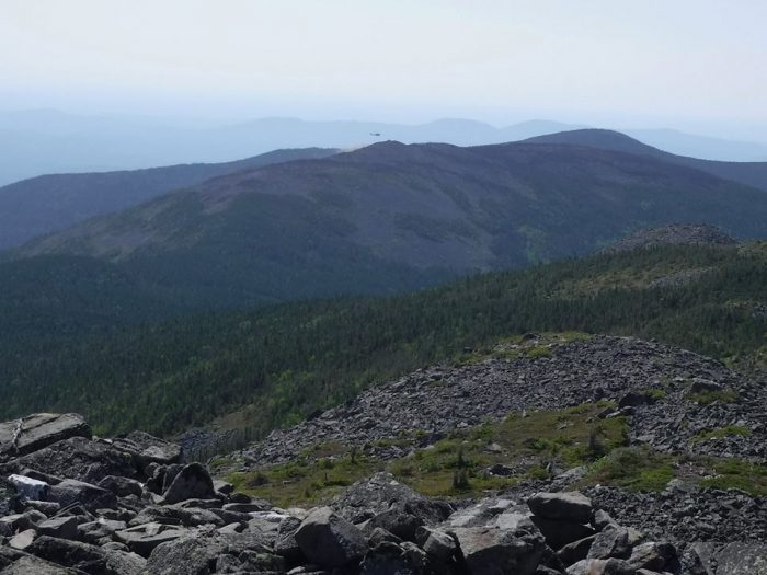
Although with beautiful blue skies the views were, in fact, quite grand, we found the most significant characteristic of the landscape to be the 27+ acre forest fire on the summit of Middle Abraham, the location of a MATLT easement, 4 peaks to the south of where we stood. In a phone call to the Maine Warden Service (yes, we had phone service up there), Simon Rucker, Maine Appalachian Trail Land Trust’s Executive Director, learned that the blaze had been sparked by lightening several days prior and had flared up again that morning. As we watched, helicopters circled dropping fire suppressant materials. The helicopters would circle overhead for the rest of our trip.
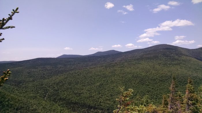
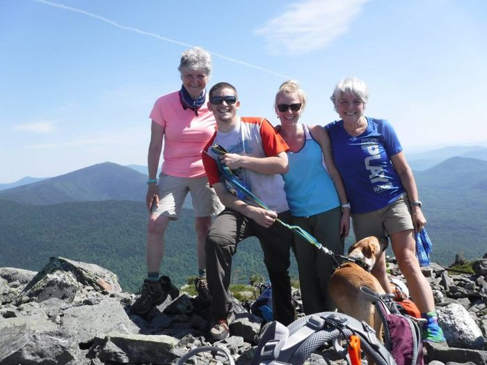
Descending back to the AT, we said goodbye to Simon, who was not spending the night, at the junction, and 4 of us made our way across the high ridge and up to the summit of Spaulding Mountain, elevation 4,010’. That evening found us making dinner and setting up camp at the Spaulding lean-to with several other groups, including a colorful group from the Montreal Outdoor Adventure Club.
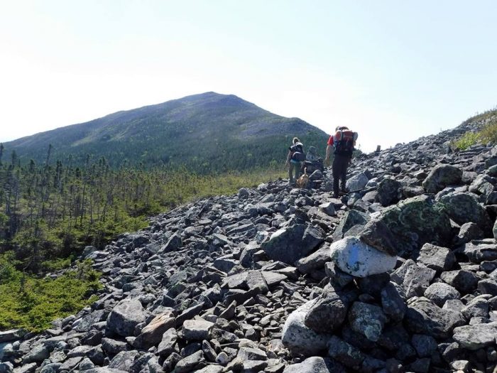
After a great night’s sleep and a good breakfast, we followed the AT for 1.1 miles to the junction of the Mt. Abraham side trail, and after another mile or so of walking in lovely, dense forest, we emerged rather abruptly onto a large talus field mixed with some of the most pristine alpine garden areas I’ve ever seen. The approach to the summit of Mt. Abraham is in wonderful condition with flowers blooming, thriving greenery, and short but healthy evergreens, and the views were magnificent under a blue sky. At the 4,049’ summit of Mt. Abraham, looking toward Middle Abraham which was now just 1 peak away, we watched a helicopter circle and drop materials onto what we presumed to be hot spots on the far side of the mountain. As the helicopter made its way back to Kingfield to pick up additional materials, 2 spots on the scorched mountaintop began smoking. Though we saw no additional flames, judging by the continual sound of 2 helicopters tag-teaming as we made our way toward the trail’s end at Rapid Stream Road we understood that the danger had not yet passed. The total mileage for day 1 was just over 6 miles. The 2nd day’s mileage totaled approximately 7.
Look for details regarding the next Maine Hikes trip in July, up Puzzle Mountain in Grafton Notch.

