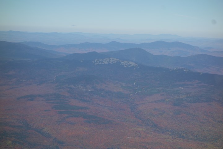
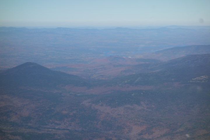
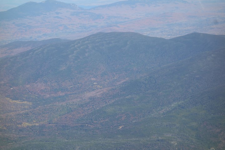
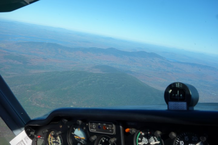
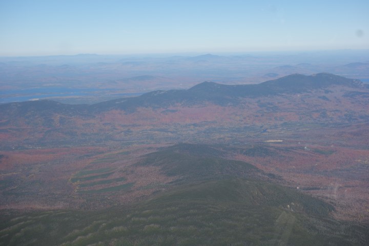
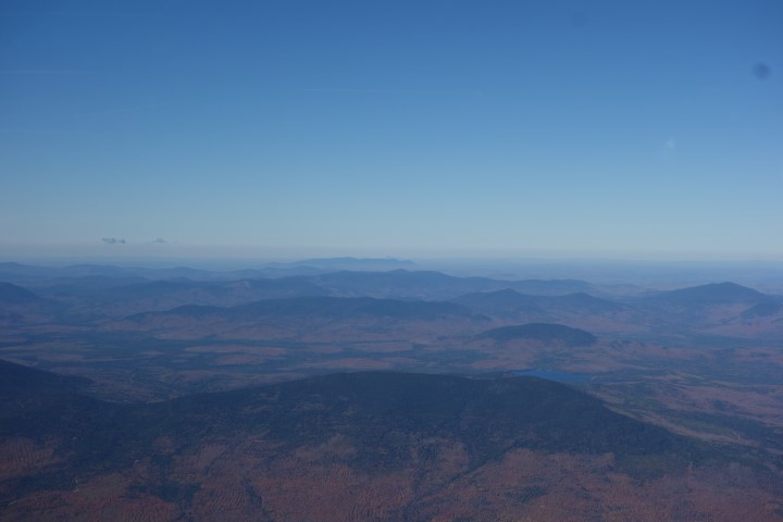
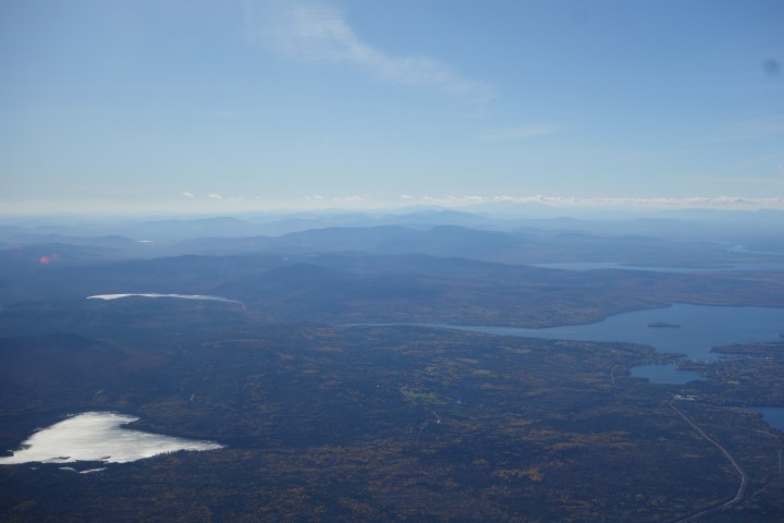
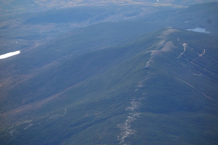
The Maine Appalachian Trail Land Trust was fortunate to once again receive a donated conservation flight from LightHawk, an organization whose mission is to accelerate conservation success through the powerful perspective of flight. Practically speaking, they get really awesome pilots to fly over some amazing landscapes and take conservation people with them so they can gather data, take photos, inspect properties and get a new and comprehensive view of the landscape. We were fortunate to have pilot Scott Cianchette take us on a flight over Redington Forest and Maine’s High Peaks. As part of our acquisition of a conservation easement, we are required to complete a baseline documentation report outlining the conservation values and features of the property. Seeing all 10,000 acres from the air goes a long way towards doing that.
Thanks to Jonathan, Audrey, Scott and everybody at LightHawk for helping to get us up in the air.