The Maine A.T. Land Trust’s latest hike up Cranberry Peak was a great way to finish out the winter hiking season (potentially…). We didn’t get all the way to the summit but with a small group of just four, we were able to ascend the ridge of the Bigelows in tough conditions on a beautiful day.
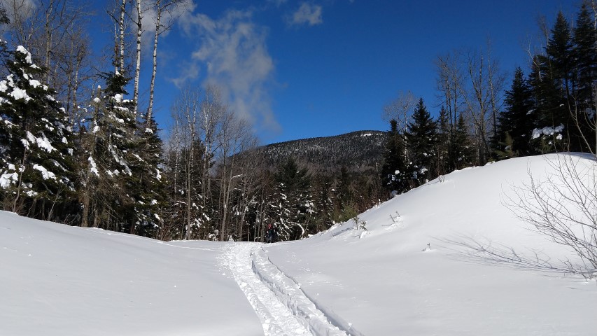
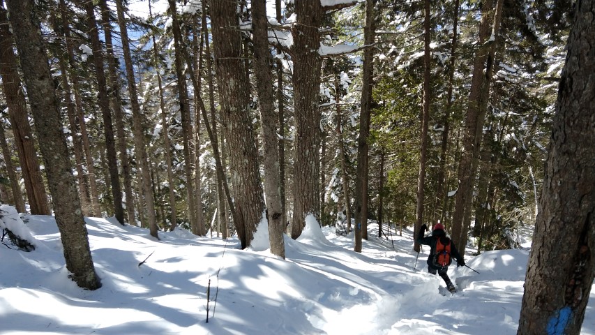
It was a cold start (about 10 F) and the winds were fairly brisk but the real issue was the SNOW. Maine had a statewide storm the week before and the mountains got thumped with anywhere from 2 to 3 feet of snow. Cranberry Peak was no exception! The trailhead is normally accessed from a parking area down Currie Road in Stratton, but we had to park behind the Coplin town office. It wasn’t until we reached the trail itself and saw how deep the snow was, and how unbroken the trail, that we realized what we were in for!
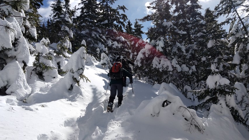
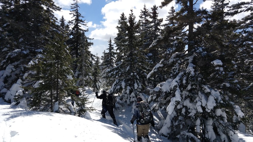
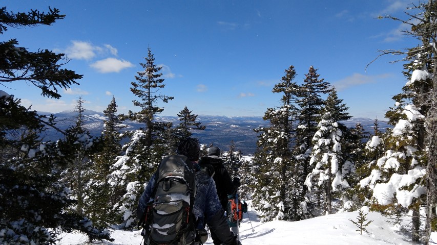
Hikers took turns breaking through the deep powder which, depending on the slope, was anywhere from knee-deep to waist-deep. After a few hundred yards, the next hiker stepped up to break trail while the other headed to the rear, sweating and breathing heavily in the cold air. After four hours, we had reached the ridge. Knowing that the trail ahead would be more difficult to find due to the low vegetation, and knowing that we probably wouldn’t reach the summit before the cut off time of 2pm, we decided to turn back.
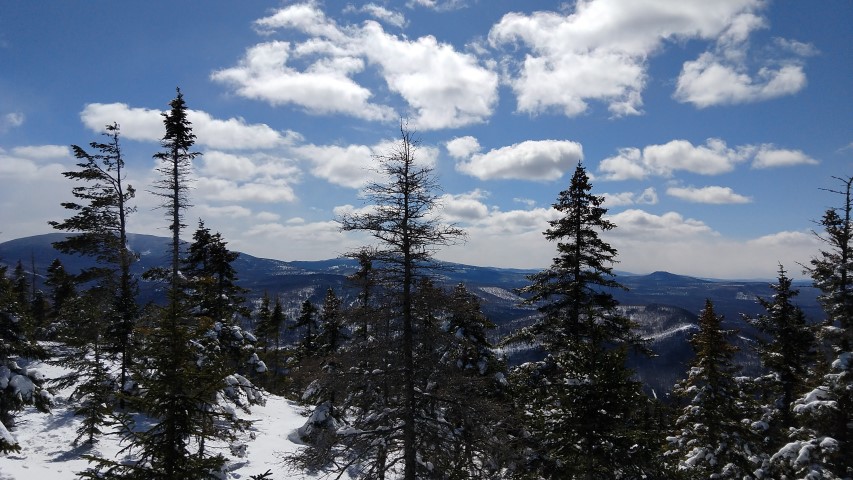
Our progress down was faster and we were able to stop and enjoy the views. To the south and east you see the A.T. and Redington Forest; to the south, the Rangeley area and Bemis Mountain; to the west and northwest, the Boundary Mountains. Despite not reaching the summit, it was a great hike.
Stay tuned for our next – bonus – hike up Old Speck Mountain! Date TBD, check back on our website!