The latest Maine A.T. Land Trust community hike was up Old Speak in the Western side of Grafton Notch. According to the Maine Mountain Guide, Old Speck, at 4,170 feet, was named for its speckled appearance formed by its large areas of exposed rock and tree cover and to distinguish it from other speckled mountains in Maine. For a long time it was thought to be the second highest peak after Hamlin on Katahdin but now it is known as the fourth highest following Hamlin, Sugarloaf and the north peak of the Crockers.
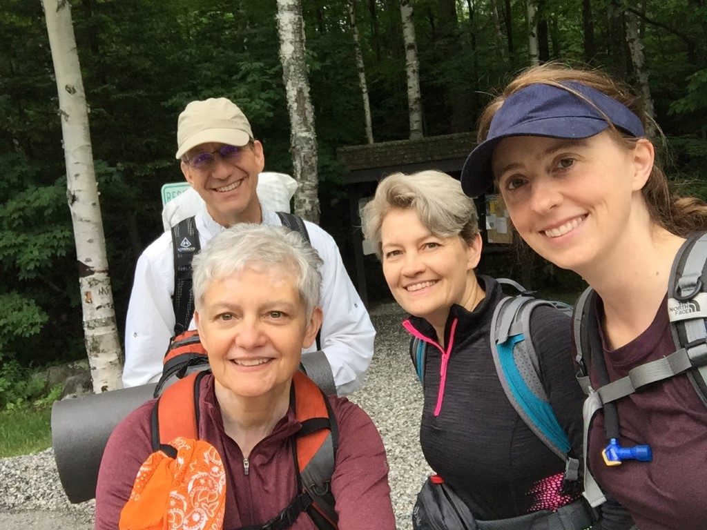
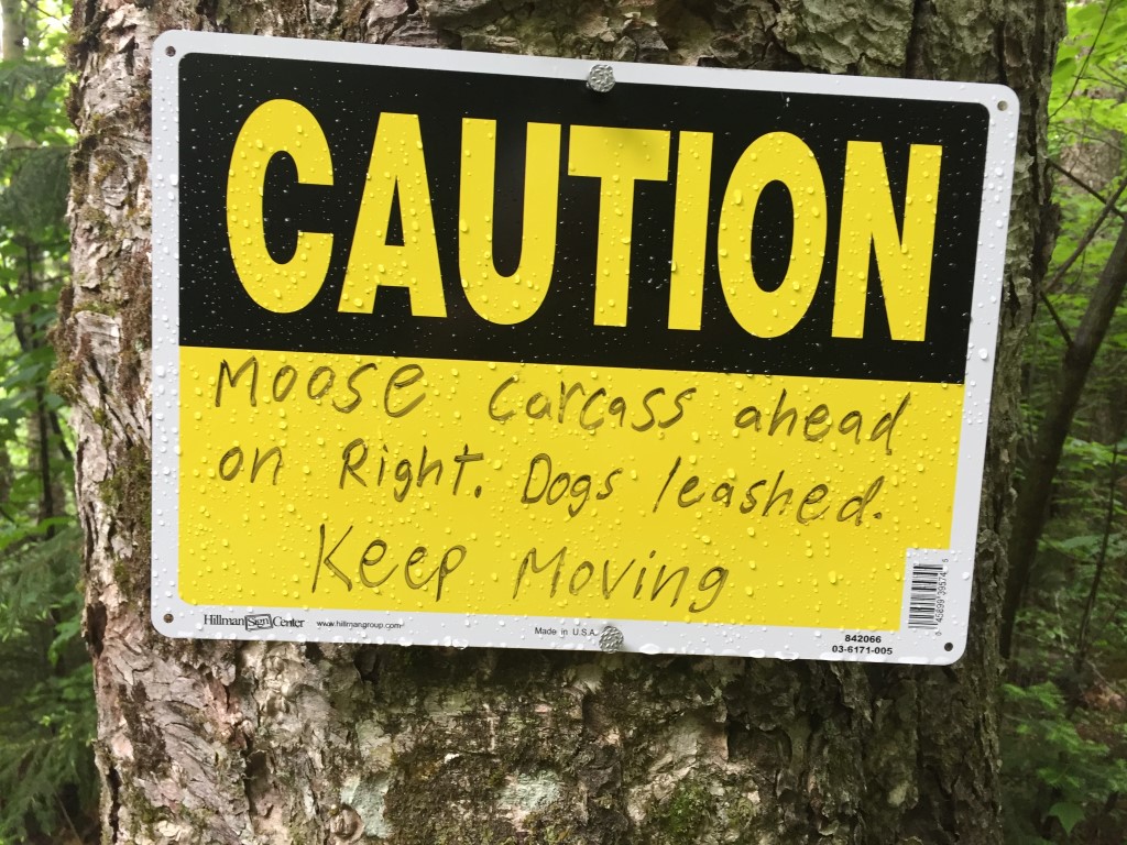
Despite the prediction of a cloud-covered summit and the possibility of rain, four of us headed up the AT in damp, cool and humid conditions. Soon after starting out we came to the trail junction for the Eyebrow, an eyebrow-shaped cliff below Old Speck where the trail loops around to rejoin further up the AT. This was not part of the day’s plan, not to mention it would be slippery and have no views. Another day perhaps. As we traveled along and starting ascending the stone steps heading to the falls on Cascade Brook, we encountered a most awful stench and soon saw a sign indicating that there was a dead moose carcass just off the trail. The maggots lining the footpath and the truly overwhelming odor was not enough to stop two curious members of the group from taking a look. Rest in peace my moose friend.
As we continued on we met quite a few through hikers both north and south bound. One pair, heading northbound (also known as NOBO) who had joined up along the way, were known as “Fish Out of Water” and “Prof”. “Fish” is a marine biologist from California so the lack of ocean views on this journey made him feel like, well, a fish out of water! “Prof” is a young man who started smoking a pipe and was told he looked professorial (he ditched the pipe soon after). They were happy to answer the usual annoying questions from day hikers and even posed with us for pictures. Good sports!
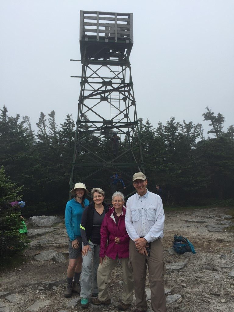
Summiting found a quite few other day hikers either enjoying lunch or climbing the fire tower where they could only imagine the view they were missing. It is truly spectacular on a clear day. We took our customary group photos, hunted for the “geo” survey marker (short for geodetic) hidden in the bushes on a rock by a cairn – and then headed back down.
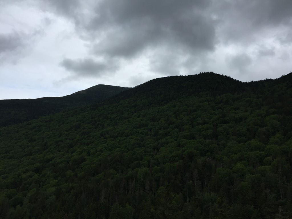
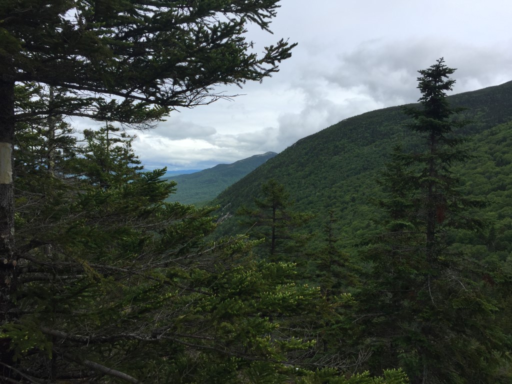
Descent was uneventful – there were a few more through hikers and day hikers along the way. Although rain was predicated for the late afternoon, the sky actually started to clear a bit and we were able to get a few glimpses of the mountains from the ridges – Sunday River Whitecap stood out quite nicely. All in all, we were quite happy with our hike. It’s not always about the view – just wandering companionably through the Maine woods with fellow hikers is just as meaningful.