Drones have now been commercially available for several years, but due to the limitations on using them they have not been readily deployed by Maine land conservation organizations. The requirement of a license, along with a steep learning curve, the cost of a “fly-away”, and the perceived limitations of use (weather, etc.) kept many away.
Due to several factors, MATLT has acquired a drone with a primary use of helping to manage and steward conservation properties and trails. Drone technology has now made them more user friendly so there is less of a learning curve and less of a chance of loss of the drone. There have also been technology advances to make the accessibility of video and media easier – not only can drones be used for stewardship, they can also be used to showcase the A.T. in Maine and bring it to people where they are (to a certain degree). And finally, external forces: many of MATLT’s lands and trails have been severely impacted by storms in recent years and with the increasing pace of climate-related events, these aren’t going away. These weather events have impacted our ability to not only monitor lands and trails (for damage, property violations, etc.), but have impacted our ability to even get to areas of these lands.
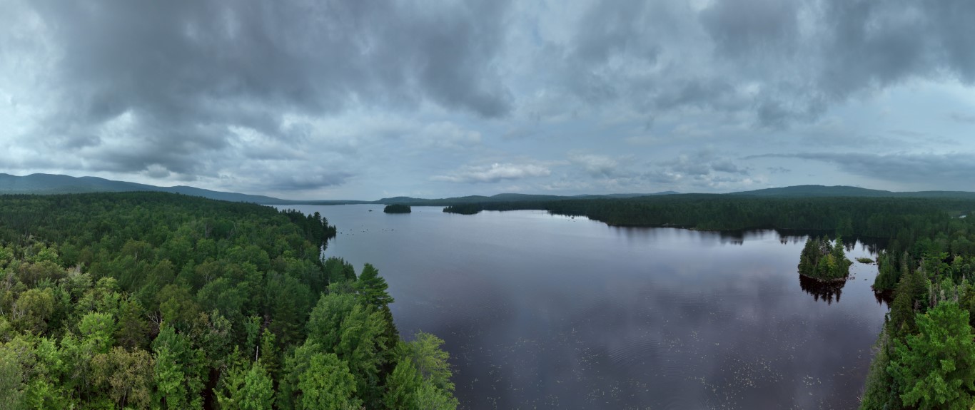
Drone technology is by no means a solution for every problem, but it is another tool we can use to ensure that this special landscape remains protected and open for public use. And drones do capture beautiful images!