Date: February 22
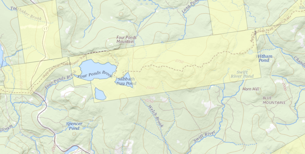
Location: Height of Land, Four Ponds Public Reserve Land, Route 17, Township E
Trail: Appalachian Trail Northbound
Distance: 7.4 miles (Sabbathday Pond roundtrip)
Info: Maine Trail Finder
One of the hidden gems of the Appalachian Trail in Maine, the Four Ponds area is generally not well travelled in either summer or winter (except for thru-hikers). Due to the tranquil aspect and beautiful forest scenery, the hikes in this area never fail to disappoint. The location on a high plateau provides for some rugged terrain and the snowcover is generally deeper than other lower elevation areas, too.
The Maine Appalachian Trail Land Trust has been guiding hikes for the public to the Four Ponds area for years, and its popularity has only increased. The terrain is not steep like many sections of the A.T. and access to the trail here is from a public road (Route 17). For this hike, we had four people meeting up on a Saturday morning, with the temperature hovering around zero but with light winds.

We strongly encourage hikers to prepare for even lower temperatures than they might expect, since this tends to be a snow and cold section. The group for this hike was experienced and well-prepared – though temperatures would rise nearly 40 degrees by the end of the day! We set out from the Height of Land parking area on Route 17, which is the Rangeley Lakes Scenic Byway. During the winter the parking lot – generally filled with cars during all hours summer – is not plowed, and you have to park approximately 1/4 mile north, in a snowmobile parking area on the right side of Route 17. On this day, there was a small plowed area that fit two cars and we parked there. Take care walking by the road!
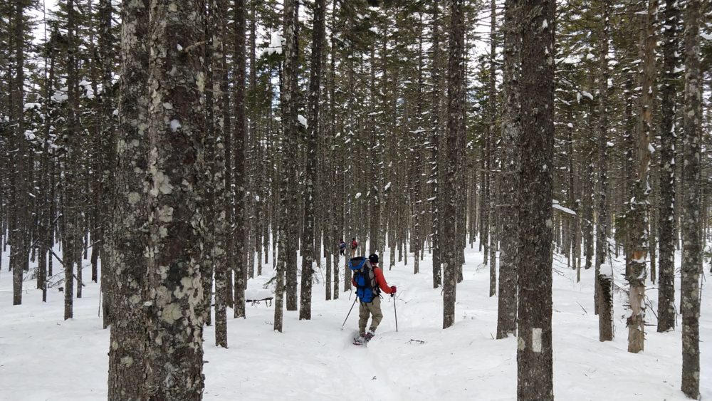
The A.T. is just south of the parking area and we entered the woods after negotiating the ice-covered rocks by the side of the road. Four Ponds does contain named mountains like Spruce Mountain (2,530 ft) and Four Ponds Mountain (2,925 ft) but these are relatively low and there is not significant elevation gain or loss on the section of the A.T. to Sabbathday Pond. The trail immediately off Route 17 contains the steepest portion of the hike, gaining a few hundred feet of elevation in just a few tenths of a mile, but thereafter meanders up and down over knolls and these small mountains. There hike is initially through an open mixed spruce-hardwood forest where the A.T. can be difficult to find in winter since you can’t see the footbed of the trail. Our group lost the trail for about fifteen minutes before pressing on anyway and finding the trail pretty quickly thereafter.

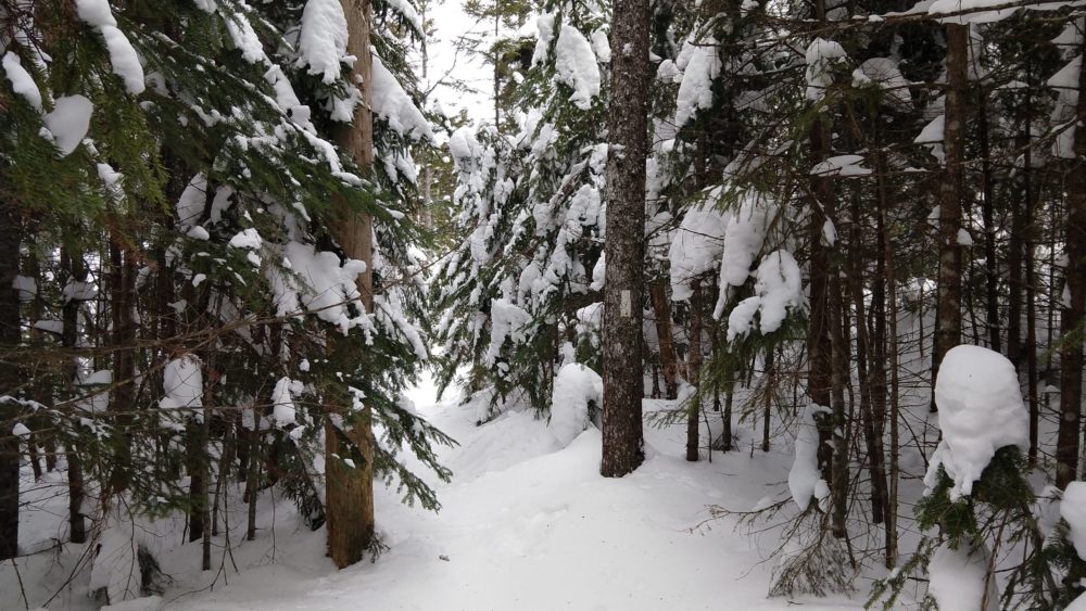
The forest type then changes to a dense spruce-fir forest that in winter is tunnel-like and very quiet. Sounds are muffled by the deep snow and all is quiet. Normally you can hear snowmobiles on nearby trail networks, but on this day there were none. We proceeded on towards the first of the “four ponds” – Moxie Pond. First, we pass through one of the sublime areas of the A.T. in Maine, a forest of great beauty that is one of the highlights of the Four Ponds trek.

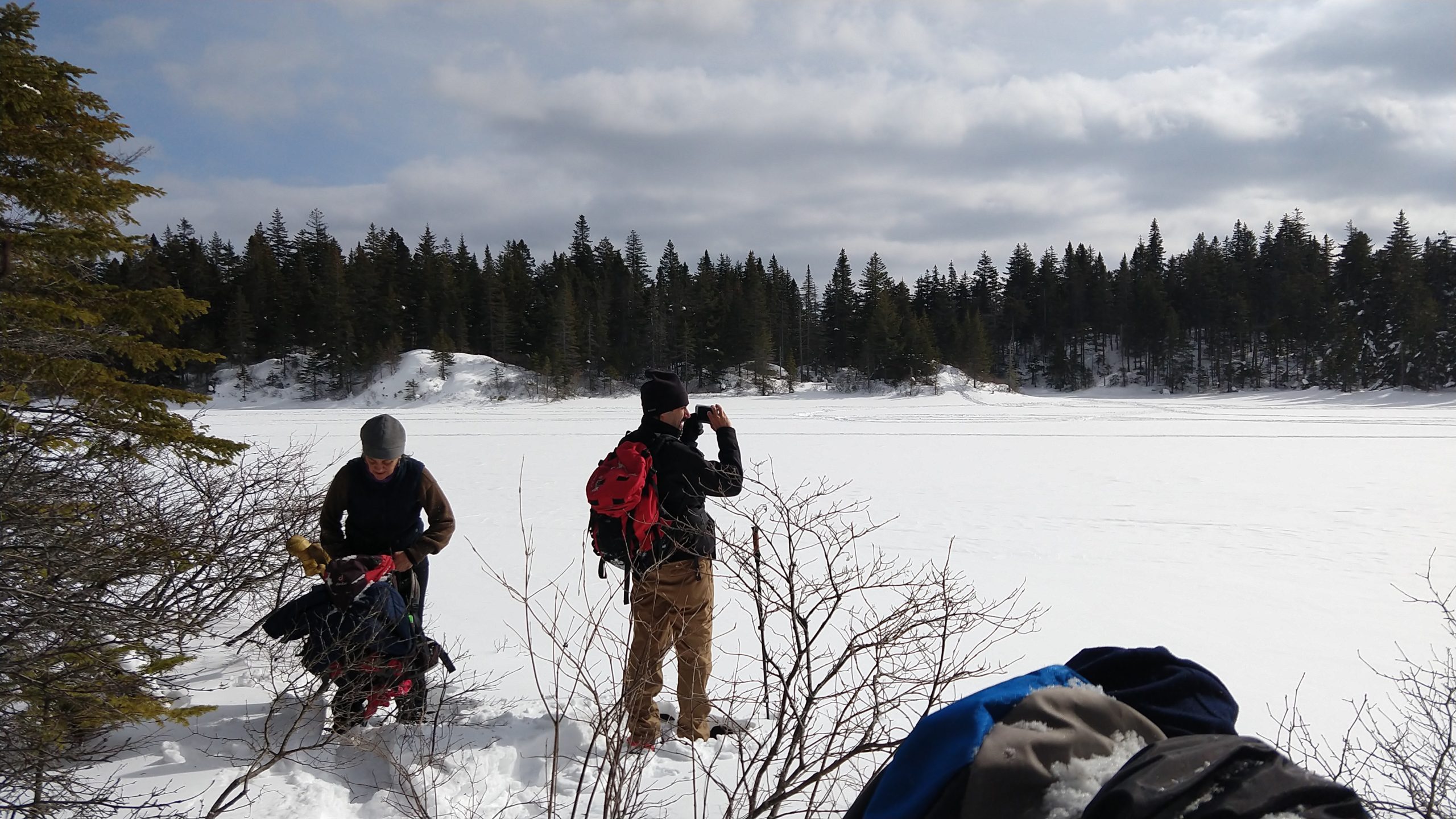
The forest surrounds Moxie Pond and Long Pond further on, which is the largest in the area, and for the third time in recent years we were treated to sets of Canada lynx tracks on the unbroken trail in front of us. We stopped for lunch on the shore of Moxie Pond.

At lunch, we assessed our progress and decided that we’d turn back. Winter hikes prior to daylight savings have a short window where it’s safe to be out, and we were having a great time just taking it easy being out in the woods. On previous winter trips we have made it to Long Pond and in the summer reaching the beach and lean-to at Sabbathday Pond is a fairly moderate hike (3.6 miles). Having to break trail in snowshoes with four feet of snow on rugged terrain takes longer, and we were happy to turn around at about 1.8 miles.
One of the nice safety features of this hike is the fact that there’s a flat snowmobile trail bailout route (which is a woods road in warmer months that provides access to camps on the southern shore of Long Pond). A hiker in our group was having some issues with boots causing discomfort and we decided to do him a favor and use the snowmobile trail for the portion of the return trip west of Moxie Pond. It is easy to follow, flat and mostly downhill back to Route 17, where you have to walk along the road to get back to the parking area. We chatted with a few passing snowmobilers on the way out, and were back at the cars by 2:30pm.
Join us for our next hike on March 21st to Little Bigelow Mountain!
