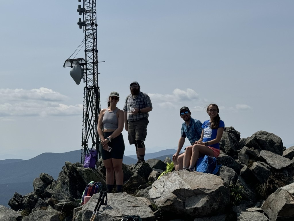
Our crew of 5 heading up the back of Sugarloaf Mountain in late July knew it would be grueling. We made it to the top, and it sure was grueling!
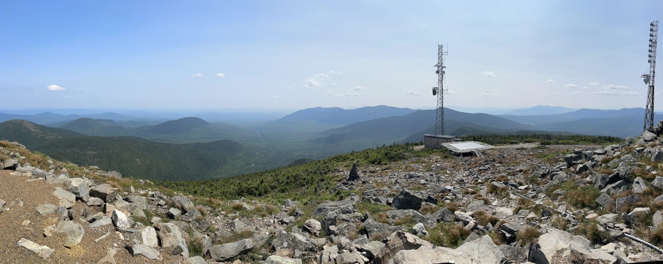
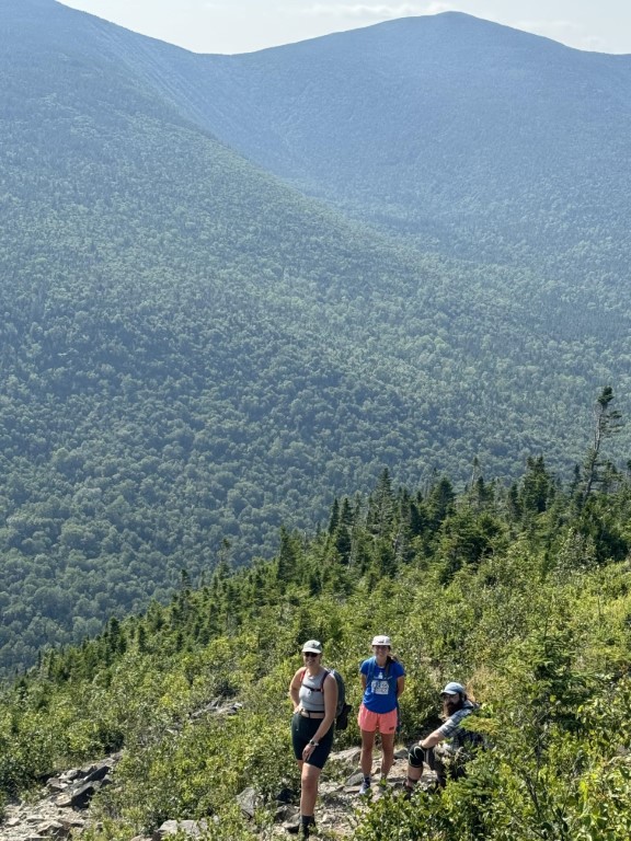
Trip leader Lucy’s Garmin watch clocked in 9.9 miles and an elevation gain of 2,300 feet. A deep washout on the road in led us to park 1.4 miles away from the TH, which is why our total distance was longer than what was listed online. We spent about 7 hours on the hike and though there was some wildfire smoke from Canada, we had beautiful panoramic views at the summit. Pictured here is the view of Mount Abraham (Abram), and a shot of our crew on the way down.
Around 2 pm, we began our descent full of oats, nut bars, PB&Js, and electrolytes. The stream crossing near the base of the mountain provided the perfect rest spot before we exited the woods. All in all, it was a long but successful day. After the extra, flat stretch on the dirt road, there was definitely some cheering when we spotted our vehicle. Until next time, Sugarloaf!