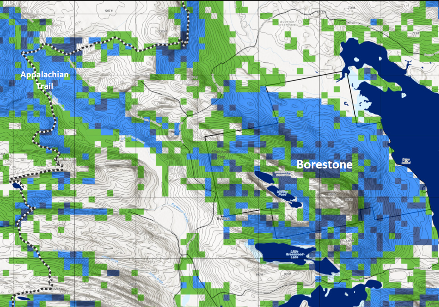
Part of “protecting” the Appalachian Trail in Maine involves knowing what to protect. Sometimes it’s a great side trail or recreation area; other times it’s a rare natural community like the alpine zone. Some elements are permanent, like a geographical feature. Some aren’t – like a trail. One certainty is that there are all kinds of conservation values and all kinds of way to measure them.
The Maine Appalachian Trail Land Trust uses data in our MATGIC system (Maine Appalachian Trail Geospatial Information for Conservation). MATGIC has lots of data on all the land within two miles of the A.T. and even beyond. Recently, MATLT was able to acquire data for late successional and old growth forests around the A.T. in Maine from a project undertaken by Our Climate Common. Using LiDAR – which is like a laser beam to determine tree canopy height from an airplane – John Hagan and his team have been able to map, with about 90% accuracy, the late successional and old growth forests in the Unorganized Territories of Maine.
What is LSOG and why is it important? LSOG is basically mature forest or forest that has not been subject to management (i.e. cut down). There are many reasons to protect remaining areas of LSOG in Maine – mature forests have many benefits, ecologically, visually, and recreationally – but the most important is that LSOG is very rare these days!
