Bald Mountain Pond was acquired by the Maine Appalachian Trail Land Trust in 2019, as part of a larger project that saw the adjacent ridge move into National Park Service ownership. Located in the middle section of Maine’s A.T., in an area largely with fewer high mountain peaks and trails to ascend them, Bald Mountain Pond is an oasis of nature and solitude available for those who make the trip.
MATLT staff and Board Vice President Pete McKinley recently took a trip to the pond in order to inspect three camps that the organization continues to lease to long-term tenants who have had the camps in their families for multiple generations. The organization now deploys multiple technology platforms to monitor land holdings, including near-real time remote satellite imagery, a drone, and even airplane flights over properties. But there is something special about getting a sense of place to form a connection to the land.
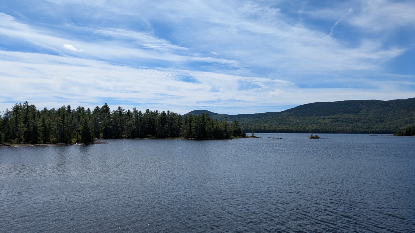
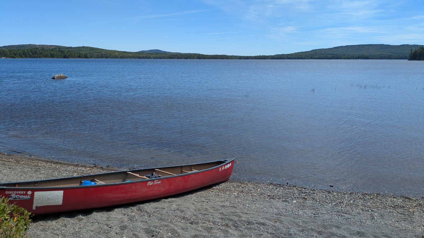
Bald Mountain Pond and all of the landscapes you see here are fully accessible to the public as well. There is a boat launch at the southern tip of the pond and over 1100 acres of water to explore by canoe, kayak, or other watercraft. On the north shore of the pond, the Appalachian Trail descends from Moxie Bald Mountain to a lean-to where thru-hikers stop for the night. It’s a relatively quick hike to the summit, which has views in all directions from the High Peaks in the southwest to Katahdin in the northeast, so it’s possible to do a dual paddle/hike trip in one day.
MATLT encourages visitors to Bald Mountain Pond and if you are interested in making the trip, poke around online and reach out to us at info@matlt.org.