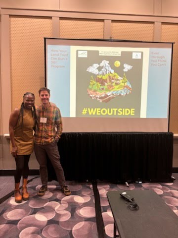
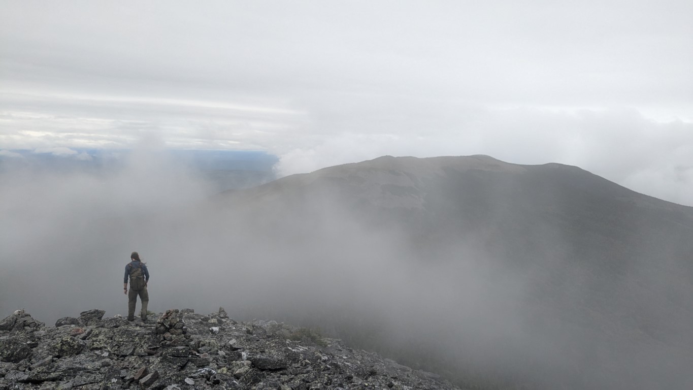
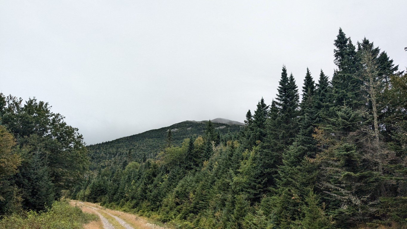
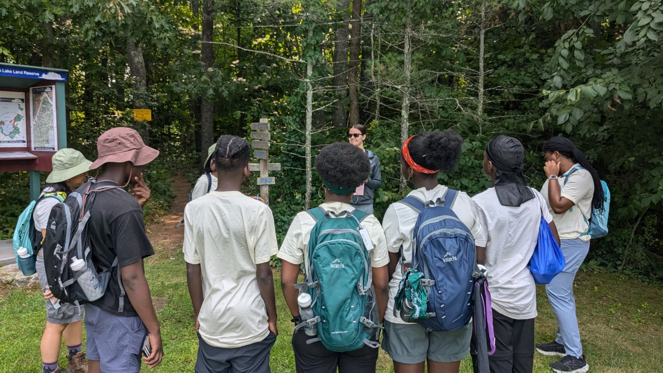
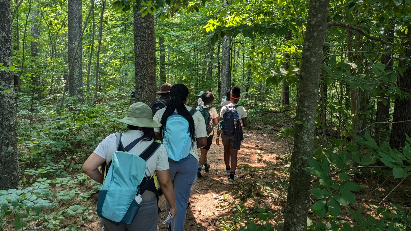
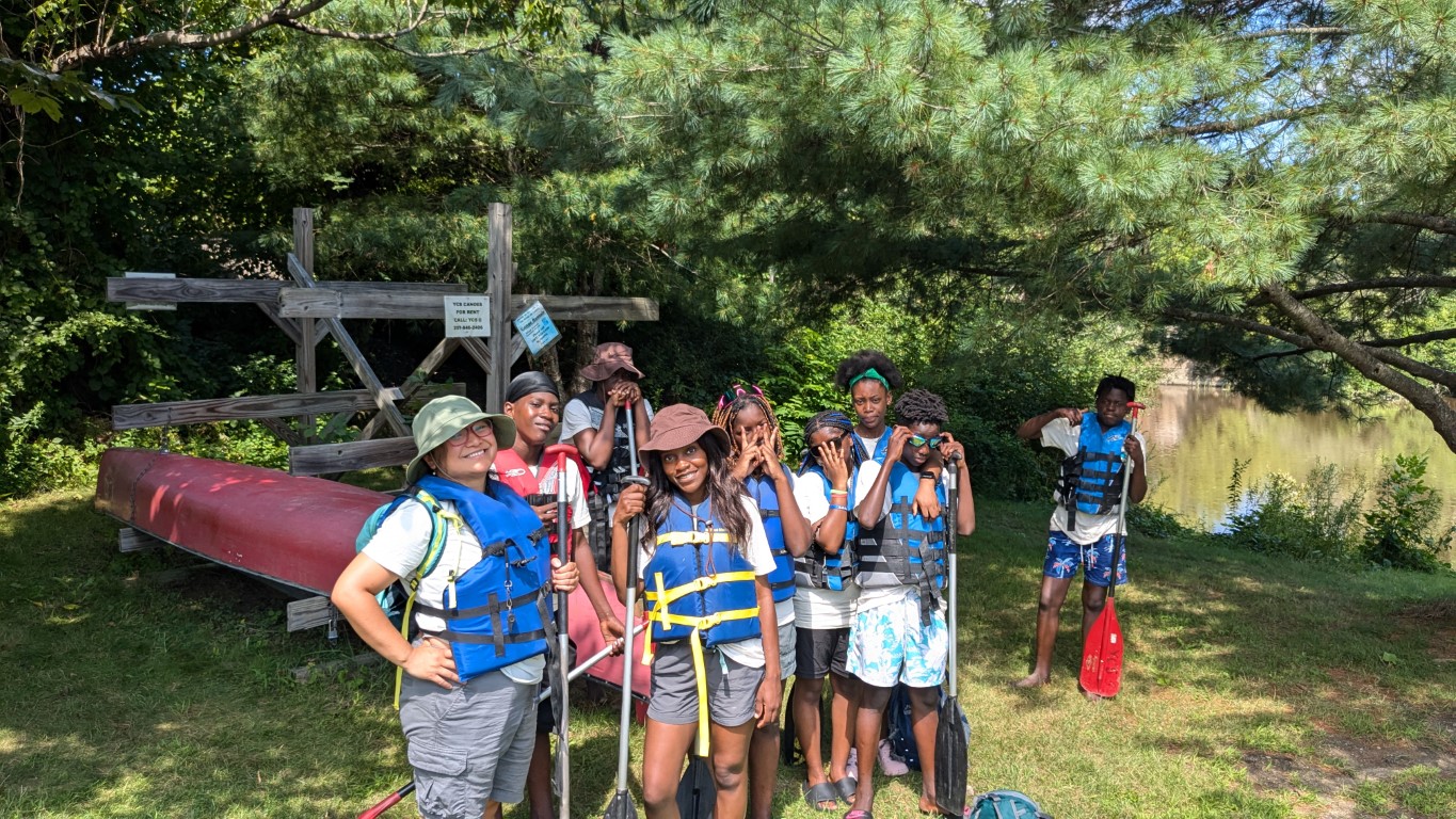
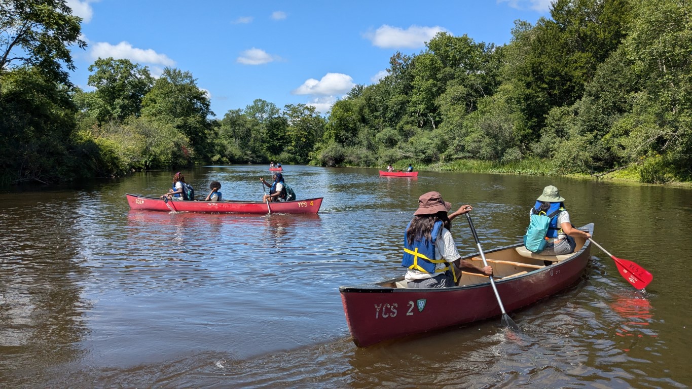
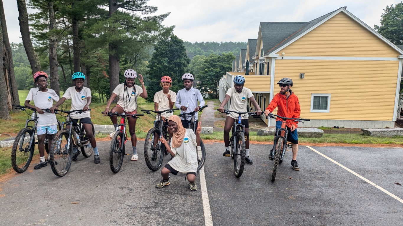
The final #WEOUTSIDE trip of the summer! We had so many adventures but for our final trip, we wanted to slow things down a bit and take stock of what we learned, what we perceive around us and how that will shape us going forward. For this really special day, we once again enlisted Samaa Abdurraqib – Maine Master Naturalist, writer, professor, outdoor leader, Executive Director of the Maine Humanities Council, and probably like ten other things. Samaa was here to help the kids connect what they are seeing and doing in the natural world with their own selves, through observation and nature journaling.
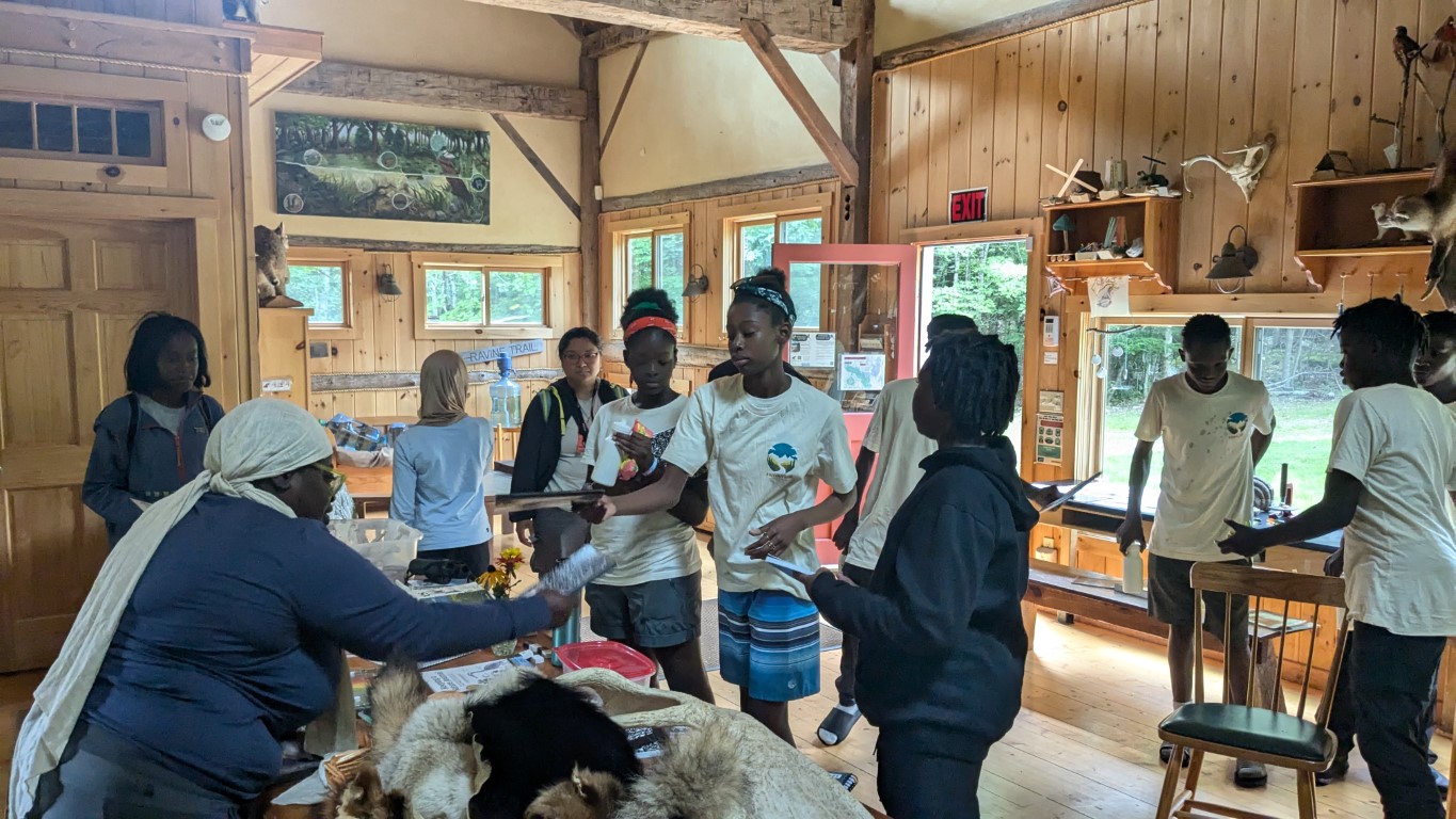
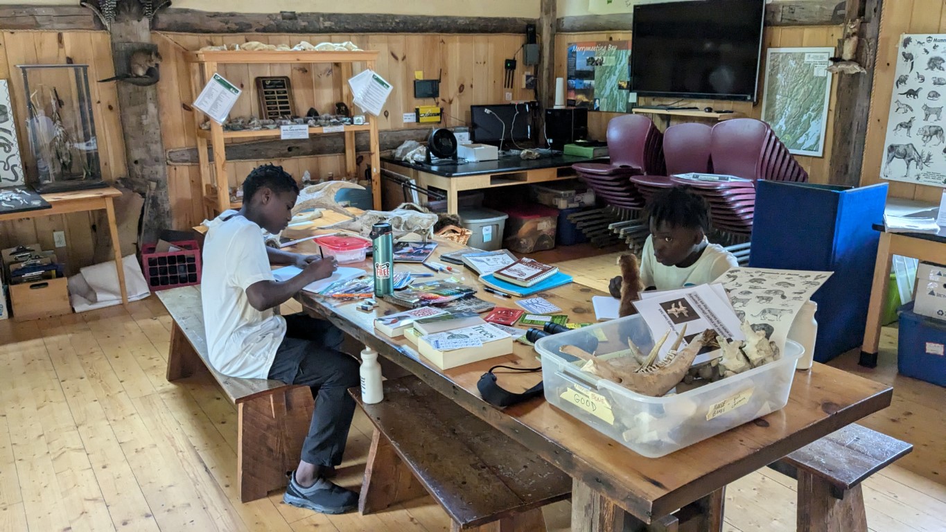
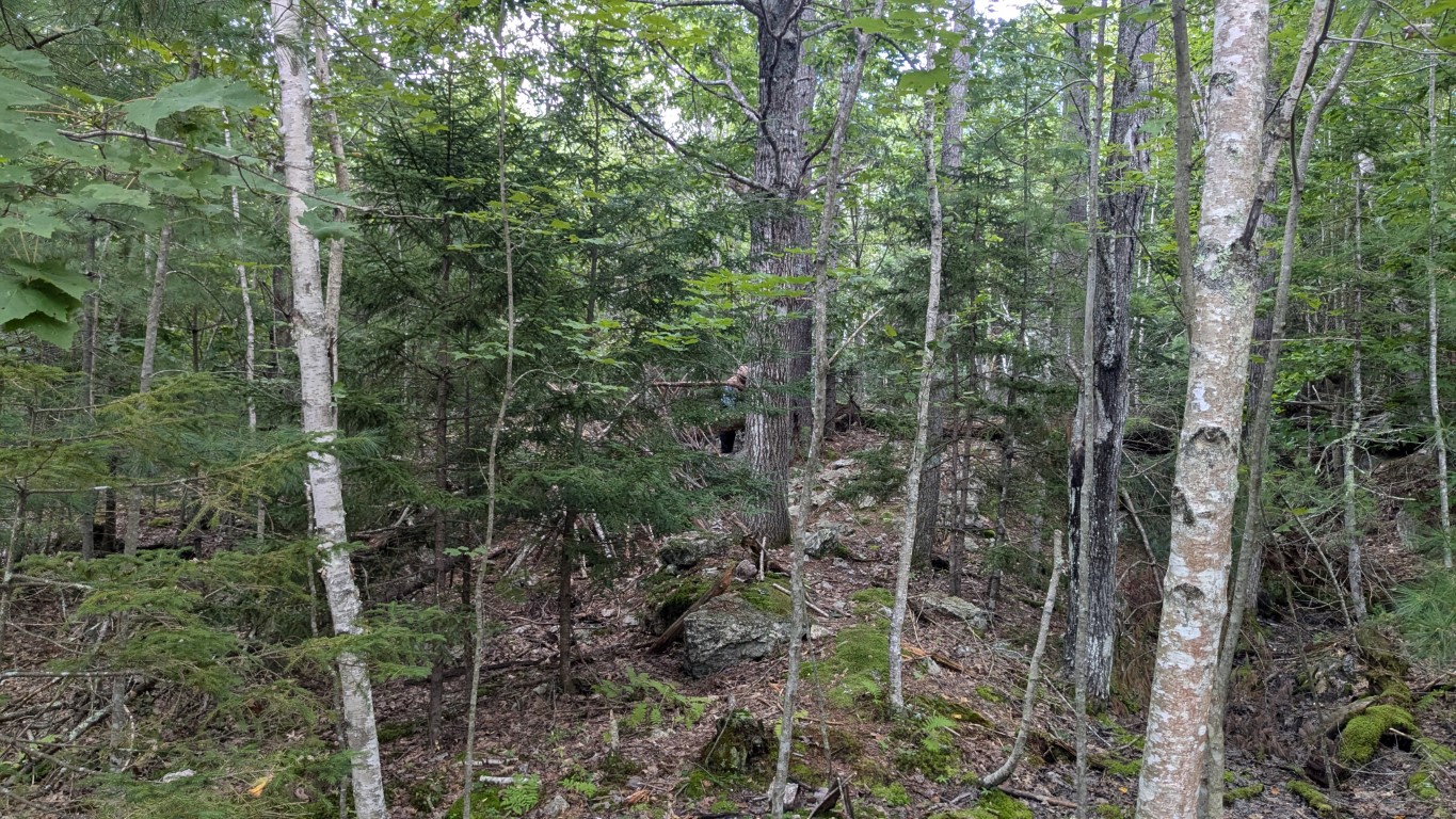
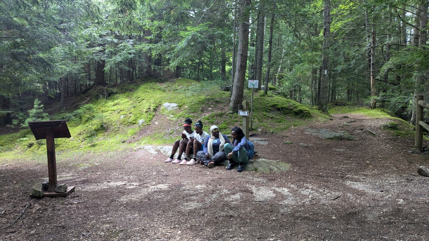
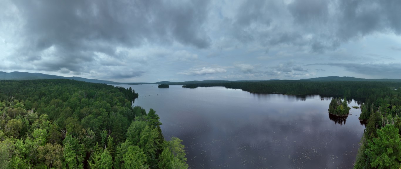
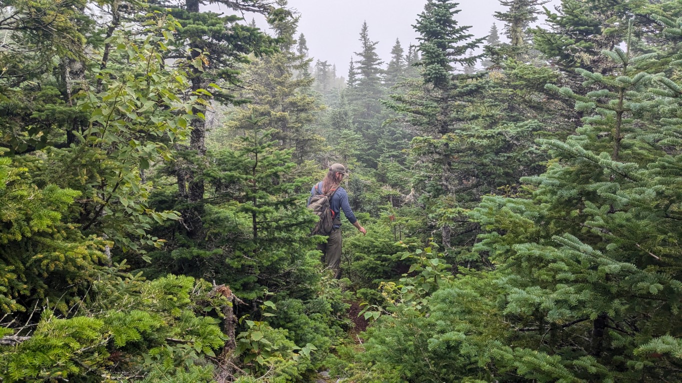
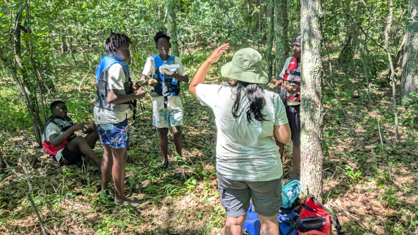
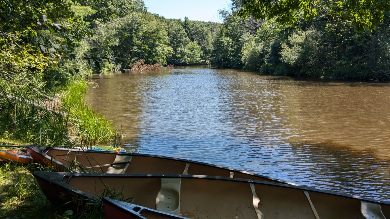
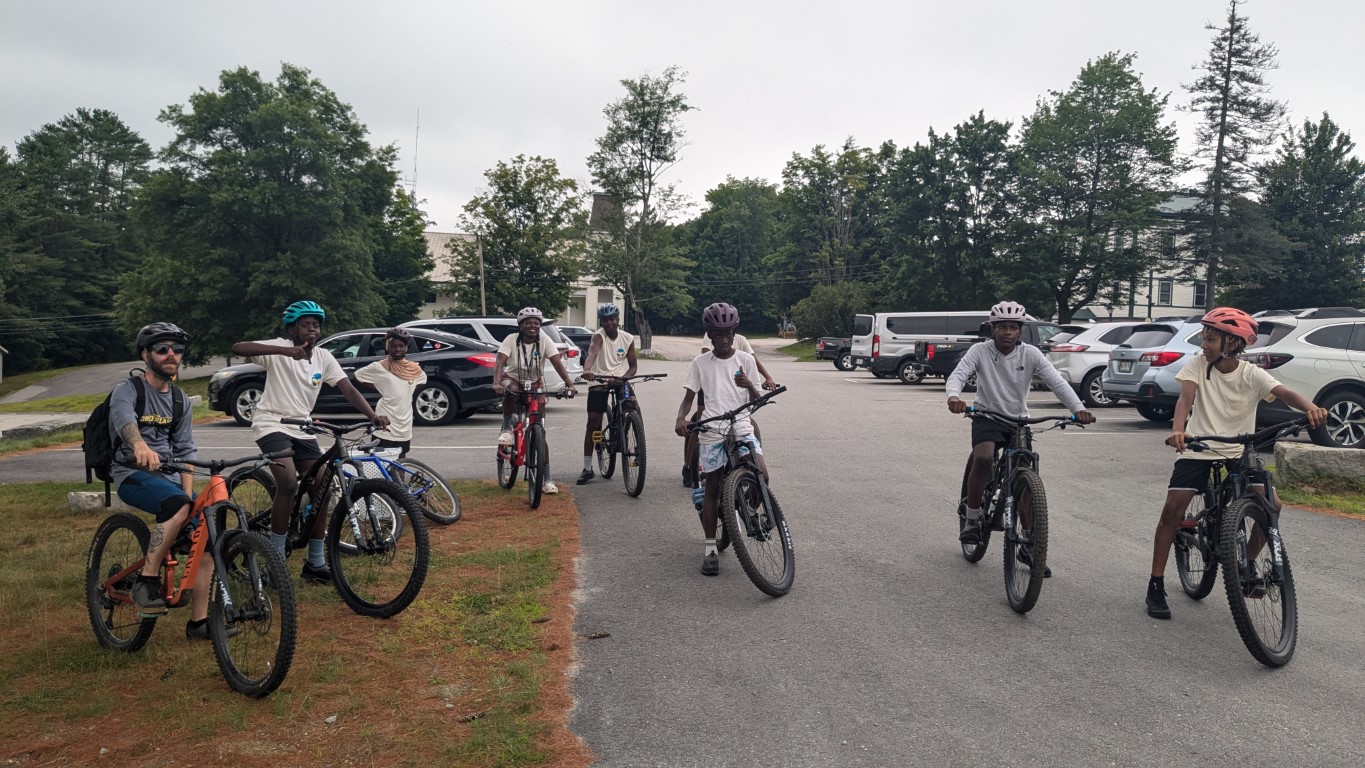
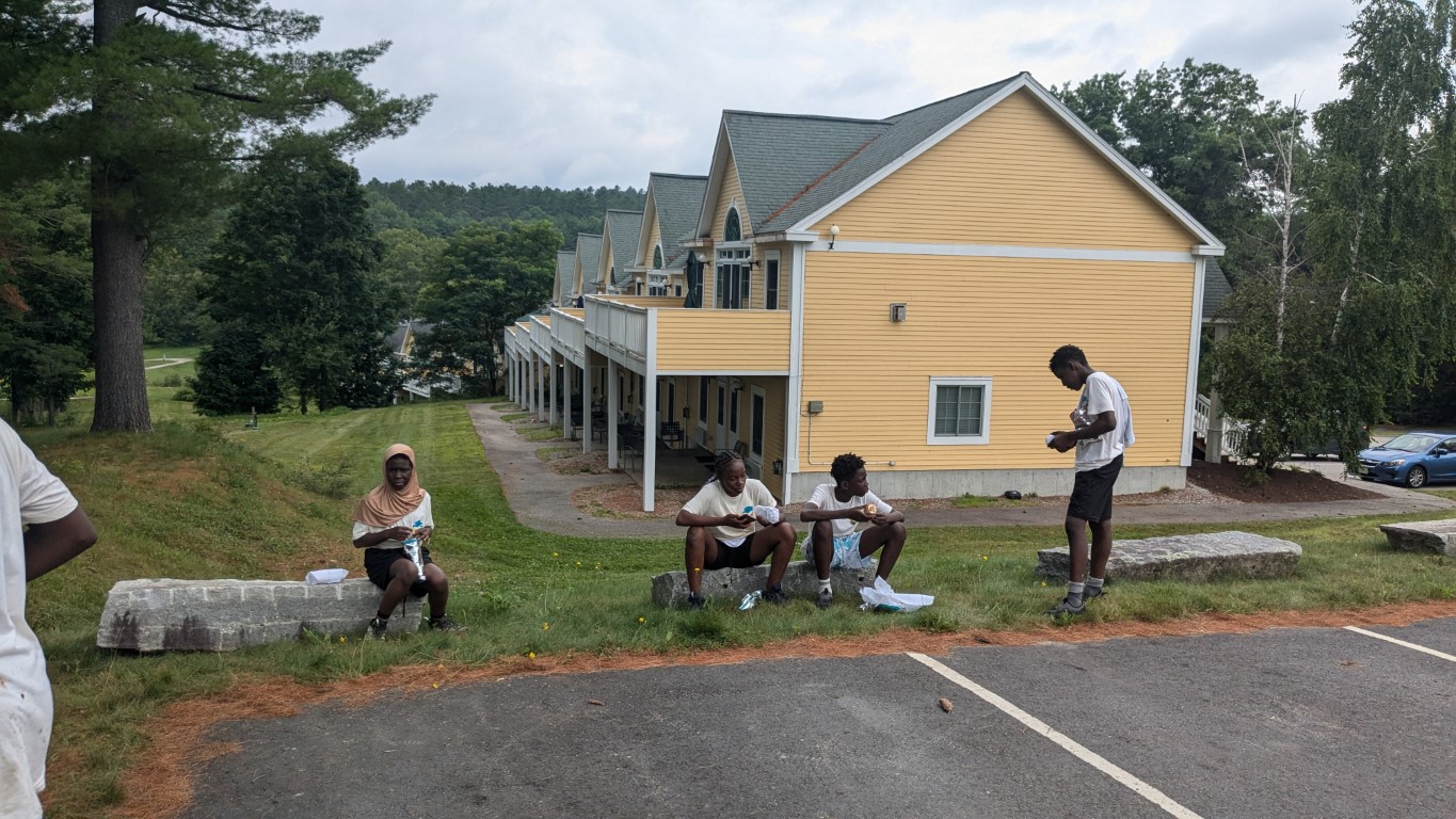
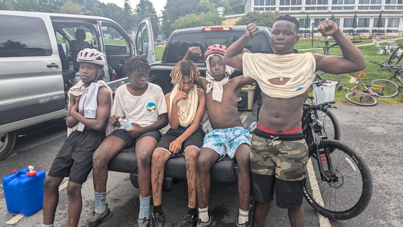
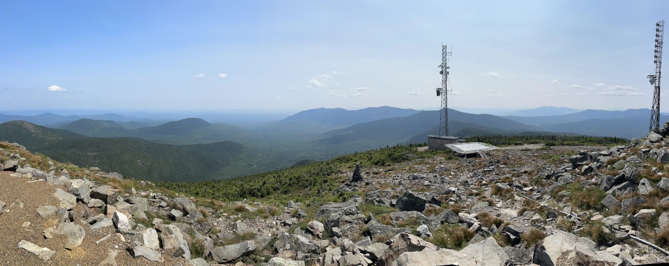
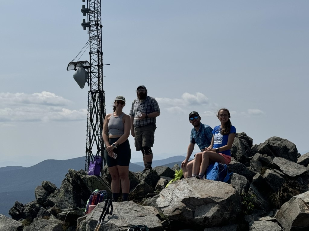
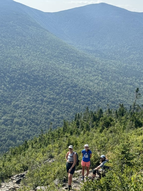
For kids who spent the summer canoeing, hiking, mountain biking, and experiencing all the kinetic activities you can do in the Maine outdoors, this was a change of pace, but with Samaa leading the group at the Cathance River Education Alliance Ecology Center (CREA), it was a wonderful experience. Each participant was provided with their own nature journal and had access to a wealth of objects from the natural world which were all around them at CREA. Flowers, animals, rocks, trees, the river, the sky, and all that you can find in the Maine outdoors were their laboratory. Inside CREA there were models to work from for a closer view of organisms we saw across the pond or in the sky. It was an amazing experience to see how calm and introspective even teenagers become when you can give them a setting in which to slow down, use their senses and reflect on how they fit in with the natural world.
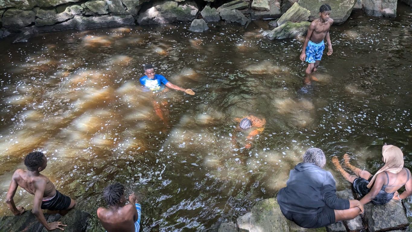
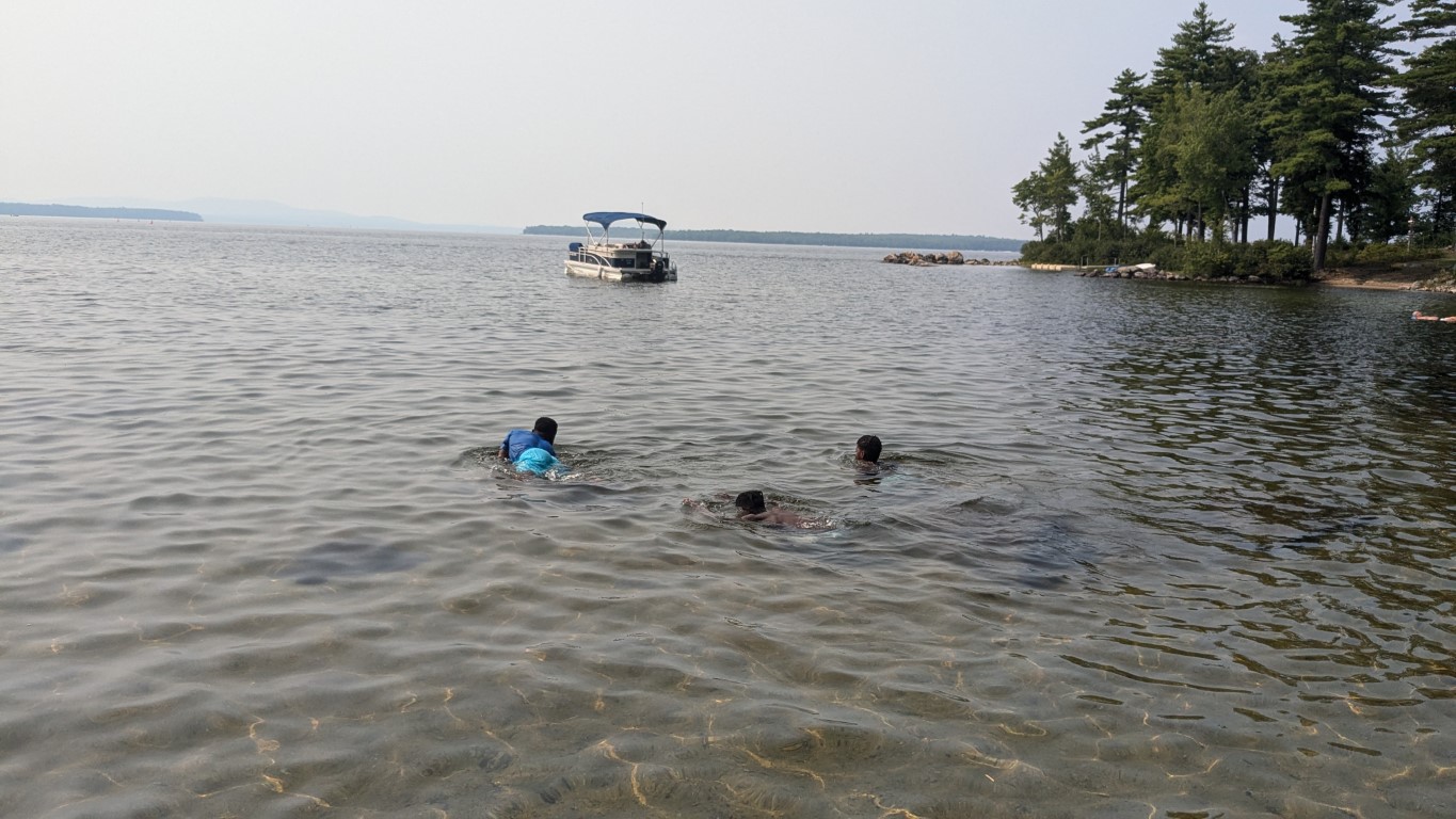
And then we also went swimming!
Special thanks to Samaa for her leadership and dedication to the #WEOUTSIDE program – it takes the efforts of many organizations and individuals to make this program happen and Samaa exemplifies that spirit.