Author: Admin

Orbeton Stream Celebration

Senator Susan Collins offers remarks and congratulations.

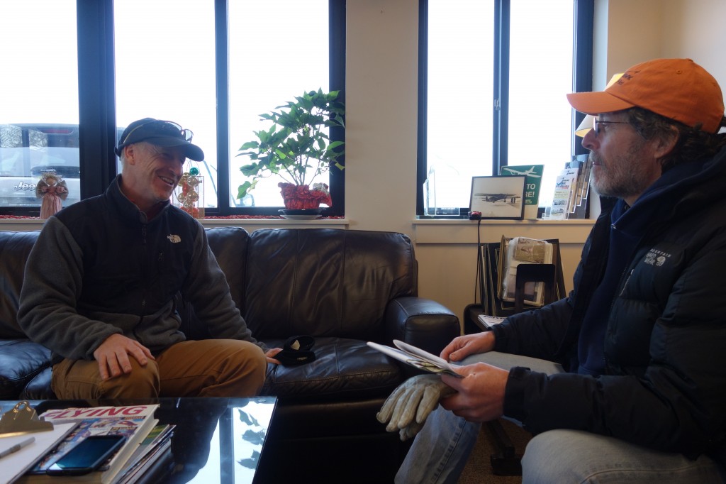
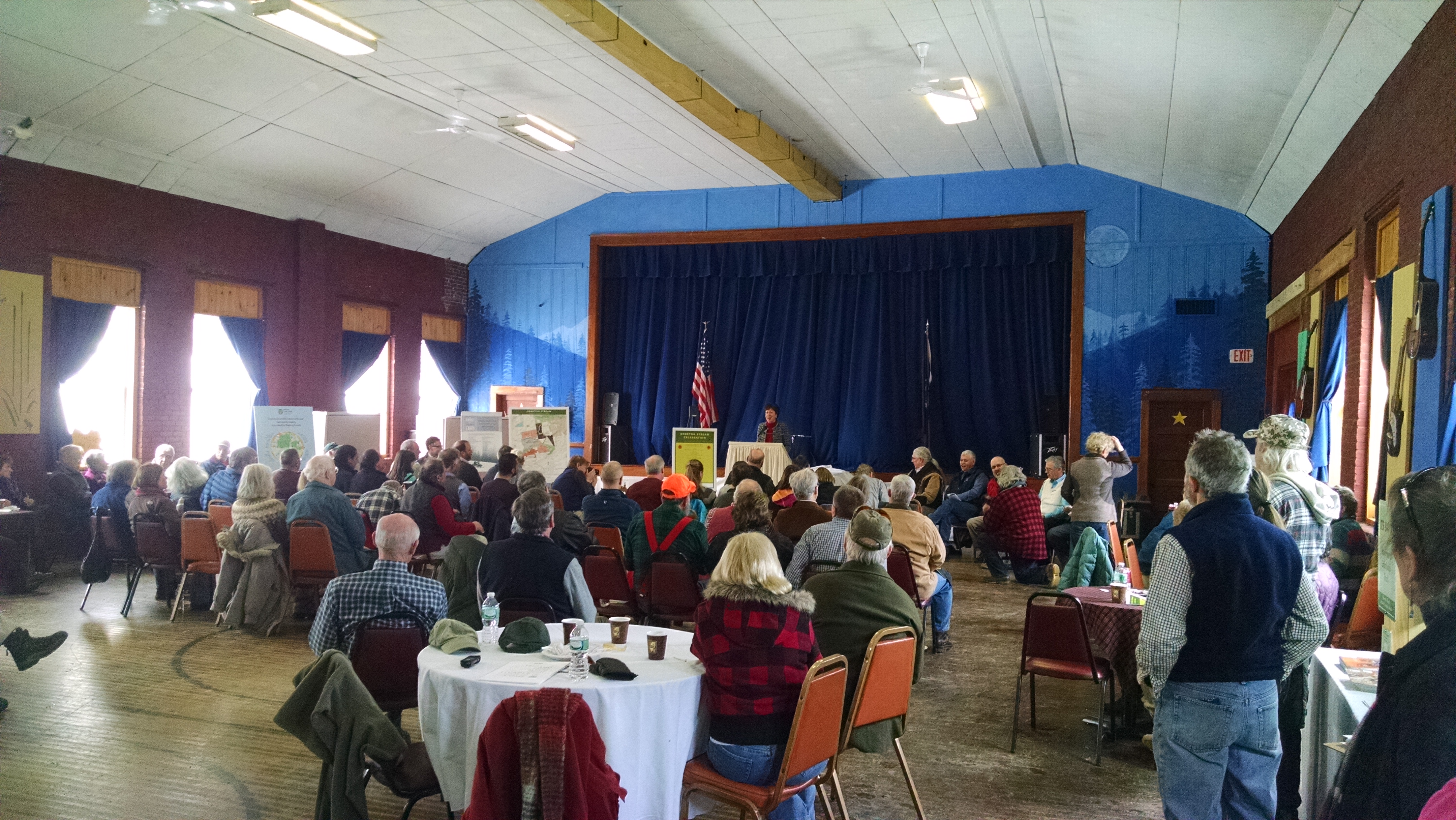
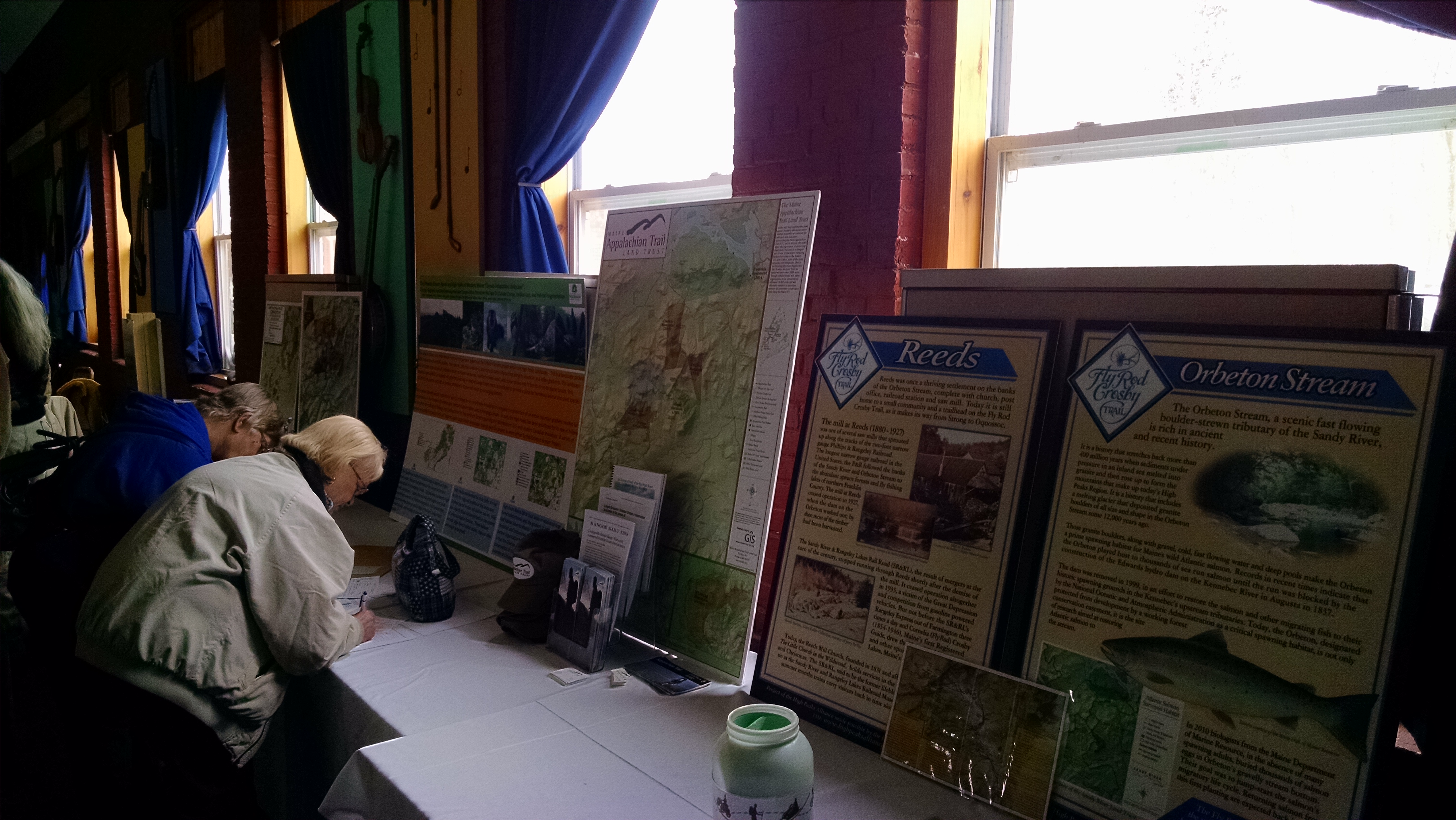
The Phillips Area Community Center in Phillips, Maine was the scene of a great celebration on Saturday for the completion of the Orbeton Stream Project.  There were a number of national conservation and political figures were in attendance, including U.S. Senator Susan Collins, U.S. Department of Agriculture Under Secretary for Natural Resources and Environment Arthur “Butch” Blazer, and Ben Tucker, the Regional Representative for U.S. Senator Angus S. King.  A number of state and local representatives were in attendance (Senator Tom Saviello, R-Wilton, and Rep. Russell Black, R-Wilton, among them) as were many representatives of the many conservation groups who were involved with the Orbeton Stream project.

Maps on display.
Maps on display.

The Trust for Public Land did a wonderful job of hosting the event and provided refreshments for the estimated 150 attendees.  Thanks to Diano Circo and Wolfe Tone, who put on a great show, and the food was excellent.

Maine Appalachian Trail Land Trust Director Lloyd Griscom talks with former board member Chris Beach and current President Bill Plouffe.

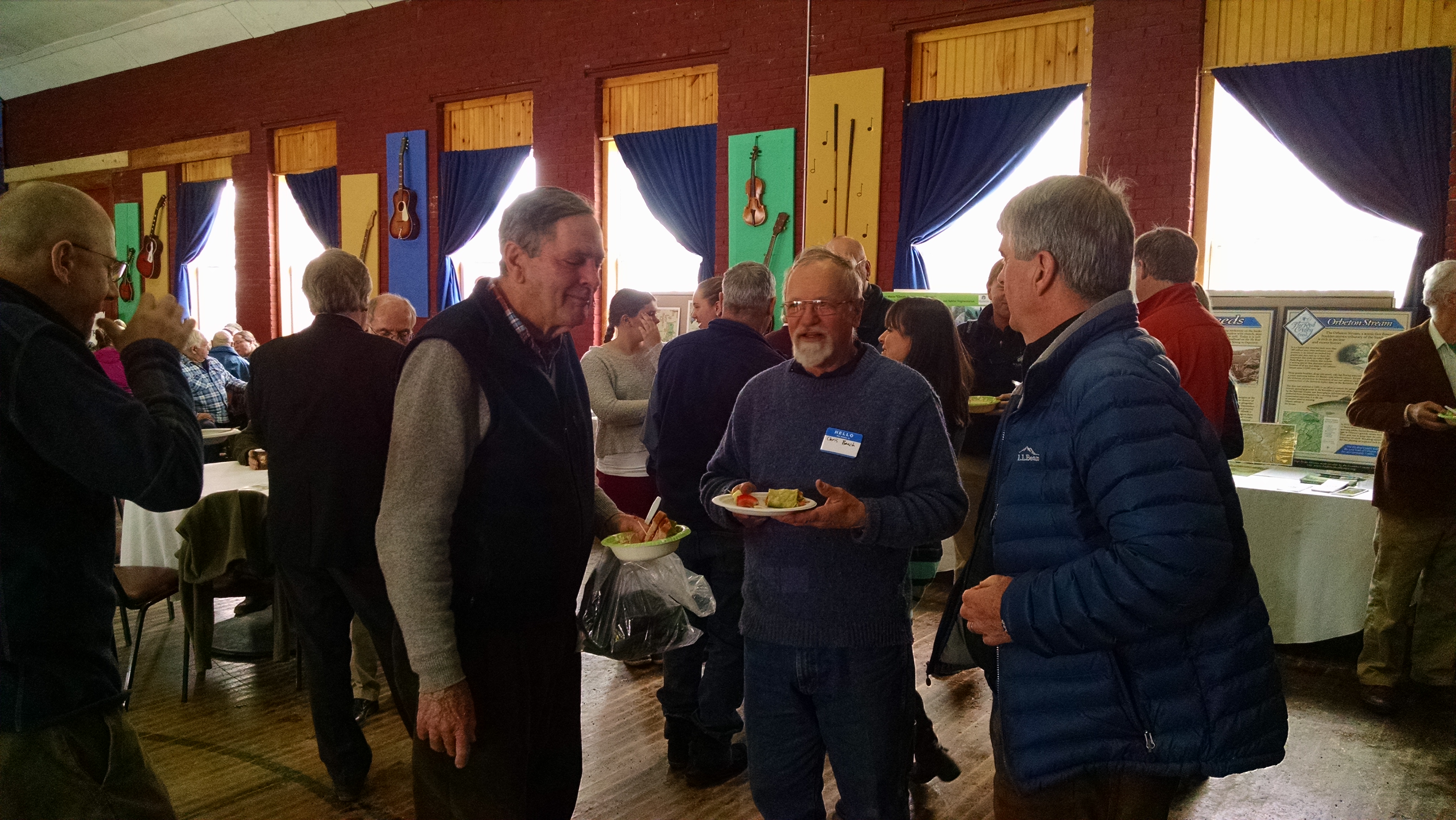
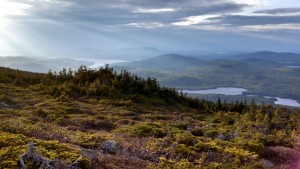
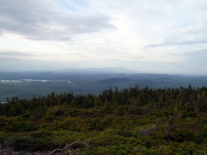
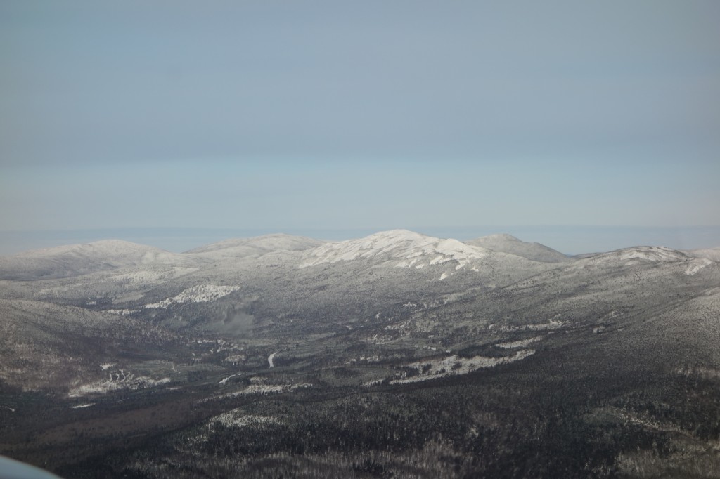
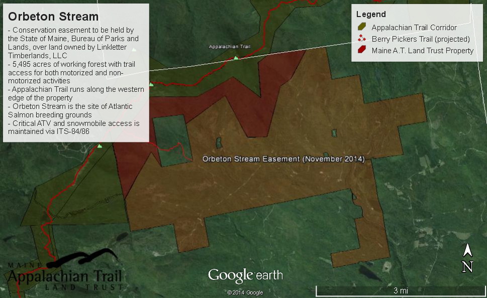
This project could not have been completed without the local communities being on board and as you can see they really wanted to get out and celebrate this special achievement.  Public access to snowmobile trails like ITS-84-86 and trails like the Fly Rod Crosby Trail are guaranteed.  An important section of the Appalachian Trail has been buffered from incompatible development.  There was a whole lot to be thankful for.

You can read more about this event here and find more photos here.


UPDATE – Great Maine Outdoor Weekend Table Rock Snowshoe Hike

2625994283_488fc49955_z
The view from Table Rock.

Our REVISED listing for the Great Maine Outdoor Weekend is up on the website – you can see it here.  The hike will be on Saturday, February 22nd at 10am.

Table Rock overlooks Route 26 as it winds north through Grafton Notch in Newry, Maine.  While the terrain is fairly moderate, it is steep near the end and the rock itself is exposed, so it’s not an appropriate outing for children.  The views are spectacular – the peak shown above is Sunday River Whitecap and there are views of the Mahoosuc Range and Old Speck to the northwest.  We will be taking the blue-blazed official Appalachian Trail side trail from the A.T.  If you are planning to come along, please review the links below to prepare.

Grafton Notch State Park – this Maine State Parks page has information and maps about the area, including a description of the trails.

Maine Trail Finder – Another trails description with an embedded Google Map.

The trailhead is very easy to find and there is plenty of parking in the A.T. lot directly on Route 26.  You can see the location on this map.  We will meet in this parking lot.  Remember, you must RSVP for this hike and snowshoes are required.  If you do not have snowshoes, please contact us at info@matlt.org or by calling 207-808-2073 and we will try and arrange a pair for you.

Wilderness Society conservation biologist Peter S. McKinley will be accompanying us on the hike to talk about the ecology of the Appalachian Trail in Grafton Notch.

See you on the trail!


Orbeton Stream Project Complete!

Orbeton Area Map


Maine A.T. Land Trust recently completed our project to acquire an easement over 5,774 acres of land in Madrid, Maine.  We worked with The Trust for Public Land over a period of six years to bring this project to completion.  The conservation easement is now held by the State of Maine and will ensure that these lands remain available to recreation and forest products management.

There has been a lot of items in the press about this project.  Here is an op-ed from the Sun Journal written by board member Lloyd Griscom, and here is one written by our Vice President, Peter S. McKinley.

We will be devoting significant time to creating public access areas and trails on this property, especially given that we are the conservation owners of the land just to the west.  A new Appalachian Trail side trail called “The Berry Pickers Trail” should be completed later this summer.  It will begin on this property, cross our lands, and then traverse the ridge to the summit of Saddleback Mountain.  Currently, the mountain has no access from the eastern side.  Should be a pretty exciting summer!

Great Maine Outdoor Weekend February 13-15

GMODW-Square-BlueThe winter edition of the Great Maine Outdoor Weekend is fast approaching, and as usual, we will open a poll to see where we should have a ski/snowshoe/hike outing on/near the Appalachian Trail here in Maine.  The trip will be open to anybody who would like to come, and we select events to get the most people out on the trail.  If have any recommendations for a spot, please let us know!  Some ideas we’ve already talked about are:  Table Rock (the Grafton Notch one) and Puzzle Mountain.

Key Funding for Gulf Hagas – Whitecap Project Secured

Summit view from White Cap (Photo by Joe Lyon)

With the passage of the Federal Budget for 2015, the Gulf Hagas – Whitecap project has received an additional $1.7 million in funding through the U.S. Forest Service’s Forest Legacy program.  The program encourages the use of conservation easements to conserve working forests, wildlife habitat, soil and watershed protection, aesthetics, and recreational opportunities.  This project, on which Maine A.T. Land Trust is partnering with The Forest Society of Maine, will encompasses sustainably managed forest, high elevation lands adjacent to the Appalachian National Scenic Trail, and the watersheds of three major tributaries that flow into the West Branch of the Pleasant River.


Looking north to Katahdin (Photo by Joe Lyon)

While this is a huge step towards the eventual completion of this project, additional funding still needs to be secured and we’re not there yet.  For now, we wanted to thank all of our members who reached out to Maine’s congressional delegation to voice their support for the draft budget that ensured funding!

LightHawk Monitoring Flight

Jonathan Milne of LightHawk and Jim Knowles of Southern Maine Aviation discuss the flight.
Looking north with Katahdin on the horizon.
Mount Abraham.
Sugarloaf
The Bigelow Range
Redington and beyond.
Northern end of Saddleback ridge.
Mount Blue summit tower.

The Maine Appalachian Trail Land Trust was fortunate enough to receive a free monitoring and management flight from LightHawk, a national organization devoted to providing conservation services to land trusts for the purposes of collecting data, imagery, and observations about conserved lands.

In our case, there were two properties in question: a conservation easement over the highest terrain of Mount Abraham, and a fee parcel on the southeastern flank of Saddleback Mountain.  Both of these properties are well over one thousand acres in area, contain difficult terrain, and are hard to access from the ground.  This LightHawk flight enabled Maine Appalachian Trail Land Trust to aerially monitor the Mount Abraham easement and compile data and images for a new management plan for Saddleback Mountain.  Without this generous donation, we would have had to expend many hours and many thousands of dollars on these critical land trust duties.

Special thanks to Jonathan Milne, Atlantic and Midwest Region Program Manager for LightHawk, and pilot Jim Knowles.

All photos by Simon Rucker/Maine Appalachian Trail Land Trust/LightHawk.

November e-Newsletter

Our Fall Newsletter (paper version) has been posted on this page at right, but we also send out monthly email newsletters.  The November edition can be found here.

If you would like to subscribe to the email newsletter, you can click on the big blue button to the right.


Comtois Easement Monitoring

Board member Dave Kallin chats with landowner Paul Comtois.

Stewardship is just as important to a land trust as is the protection of new lands under threat.  If good stewardship practices are not followed, lands are at risk and the efforts at protecting land can all be wasted.  This is true of lands that conservation organizations own (the “fee”) and lands over which a land trust holds a conservation easement.

Maine A.T. Land Trust is fortunate enough to work with landowners like Paul Comtois, who are good stewards in their own right.

Heading up the ridge along the A.T.

Paul wrote an article for our Summer Newsletter about the process of putting his land in conservation, and he has remained an active steward ever since.  He’s even directed land trust staff and board members to other properties along the Appalachian Trail which he thinks might be a good fit for future conservation.  Landowners know their terrain better than anybody, and Paul is proof positive of this rule.