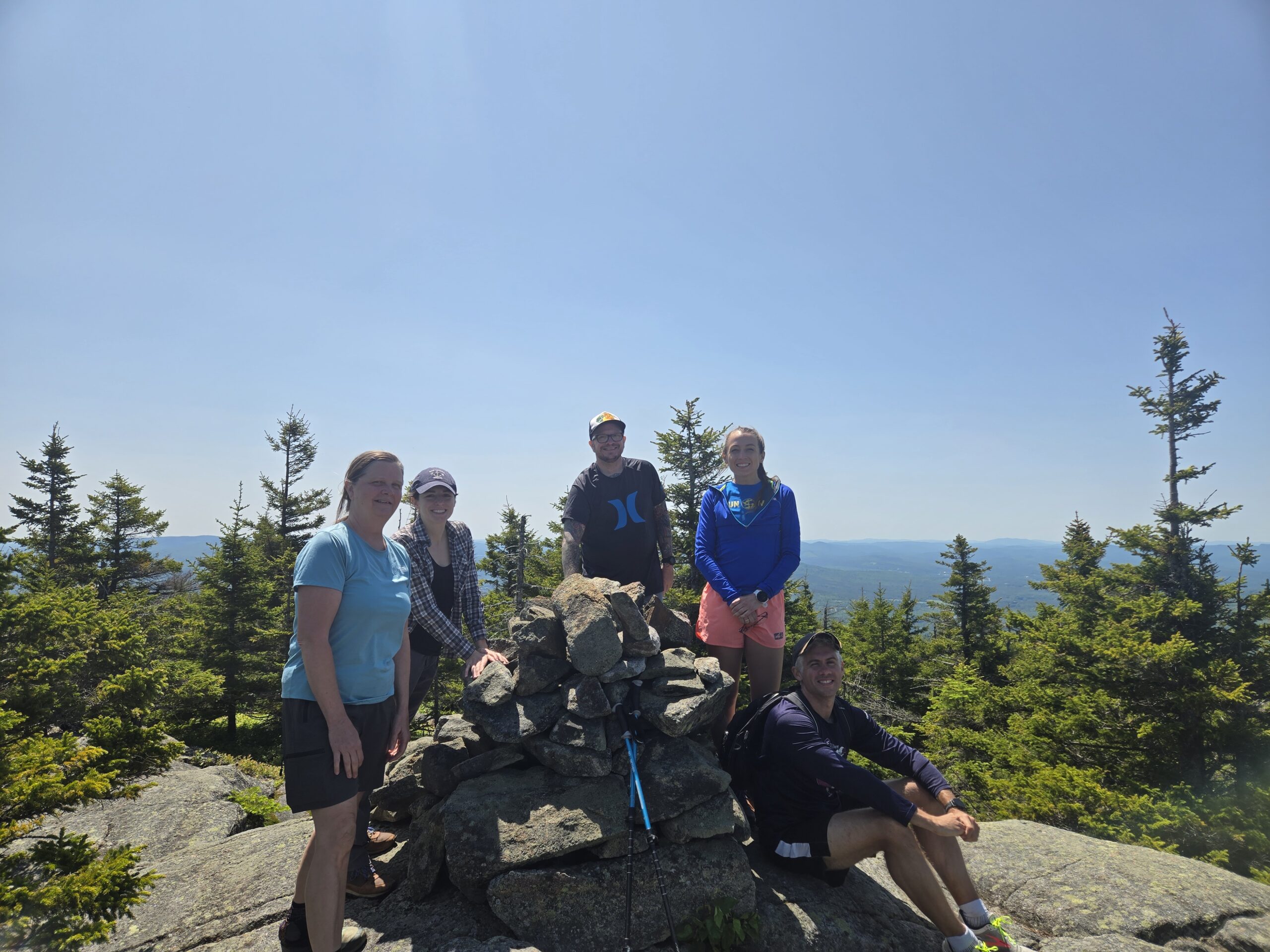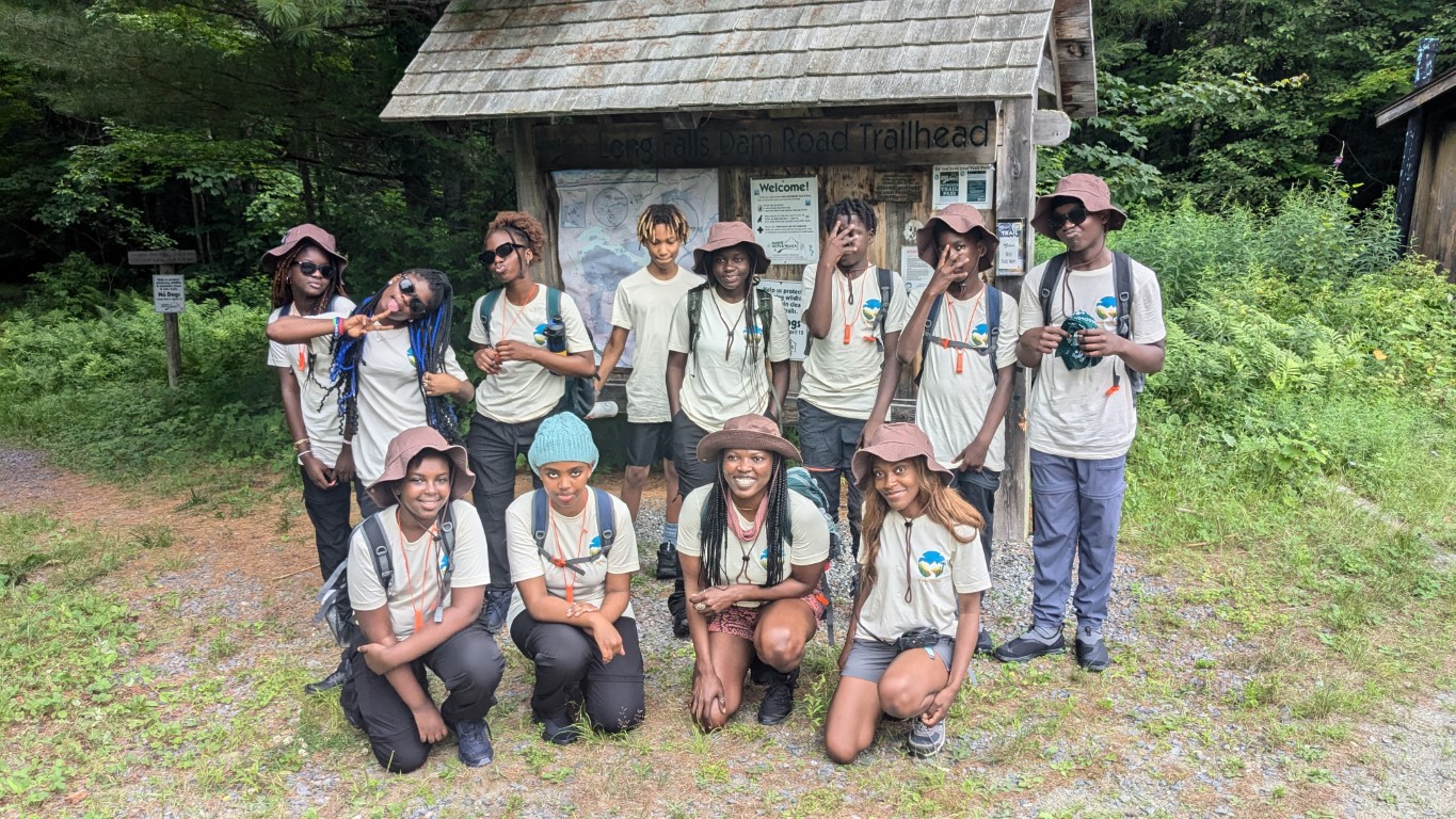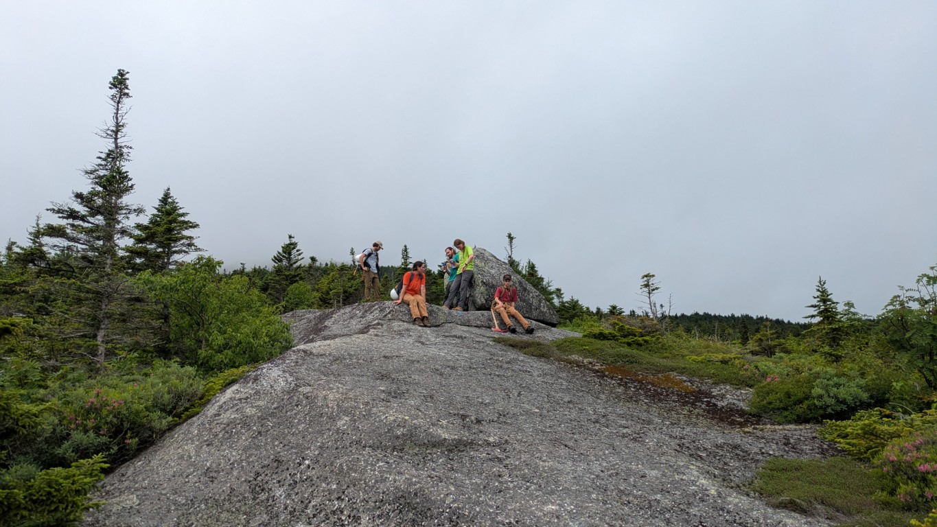
The Maine Appalachian Trail Land Trust received a big boost in trail maintenance work with some help from the High Peaks Recreation Rangers. A project of High Peaks Alliance with funding from the High Peaks Initiative and the Community Outdoor Recreation Assistance Recovery Program, the Rangers have spent the summer maintaining over 100 miles of trails, working with dozens of volunteers, and leading training programs to help protect the environment.
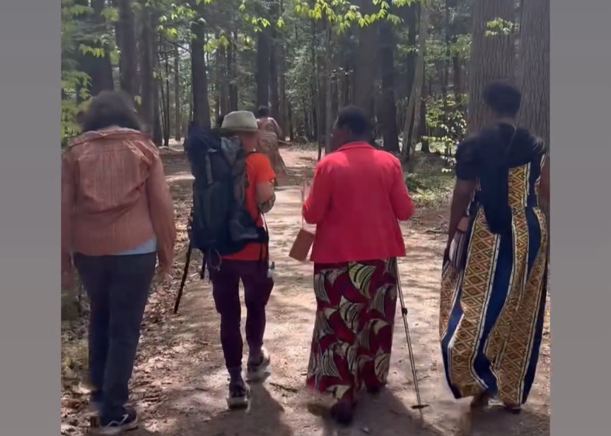
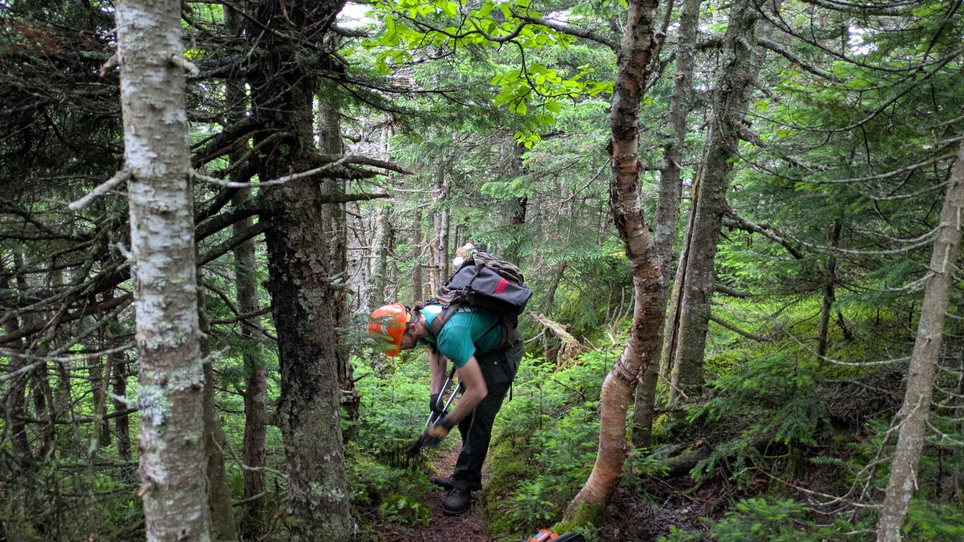
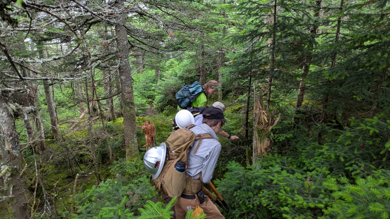
The Berry Picker’s Trail has been inaccessible to regular vehicles since storms knocked out the Orbeton Stream bridge in 2024, but can be reached on foot or ATV. We used ATVs to get there with the Rangers and tackle the annual maintenance of the trail in preparation for the replacement bridge which should be installed in September. The crew removed blowdowns, cleared accumulated brush and other debris, and made sure that the trail will be ready to go late this fall.
Thank you Rangers!!!