About the Community Hikes Program
The Maine A.T. Land Trust’s Community Hikes program provides free guided hiking trips to the general public from May to October and then from January to April. There are typically two to three hikes per month (depending on weather) and trips are guided by trained trip leaders. The program has been enormously successful at bringing individuals to the A.T. landscape but they can fill up quickly! The limit for participants is usually 5-8 individuals. If a hike you would like to attend is currently filled up, please email us at info@matlt.org to get on the waiting list. Summer hikes will be listed in May, winter hikes will be listed in December, so check back if you don’t see any!
Winter 2026 Update
We are adding more hikes as winter progresses – please continue to check back and sign up for the MATLT newsletter to make sure you know when new hikes are posted!

- This event has passed.
Goose Eye Mountain

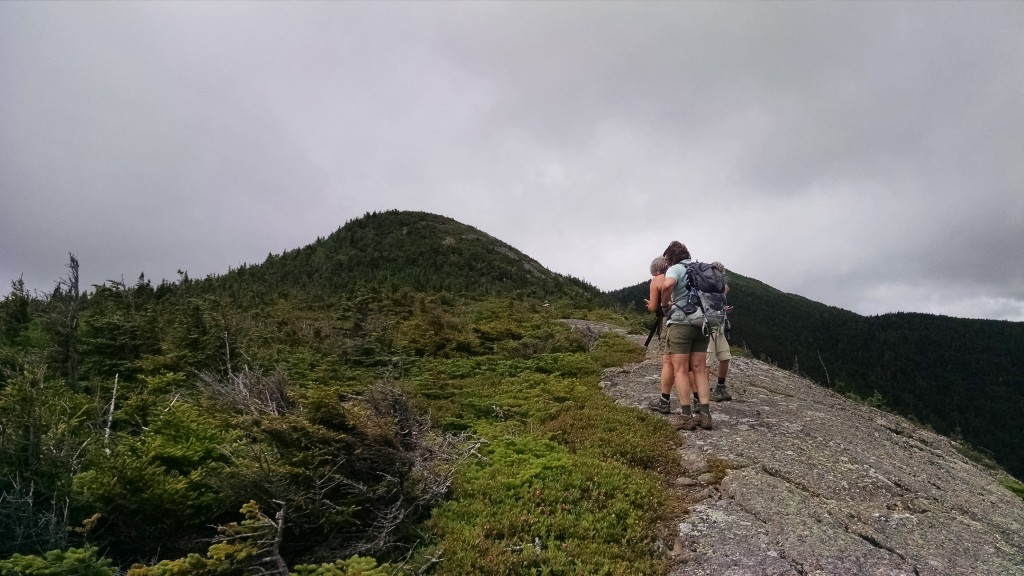
Our latest Appalachian Trail hike will be up 3,862-foot Goose Eye Mountain in Grafton Notch on July 31st at 9am! For many years this mountain was only accessible for a day hike by heading over to New Hampshire at Success Pond Road. The Wright Trail, an official Appalachian Trail side trail, was constructed to provide for a direct route to the heart of the Mahoosucs, in particular the State of Maine-designated Ecological Reserve area which covers most of Goose Eye Mountain. The mountain has three summits and this trail traverses unique and spectacular terrain, including a large alpine bog.
The hike is strenuous and will cover a distance of approximate 9.6 miles. The trailhead is easily accessible via Sunday River Road off Route 2, just north of Bethel. Take a left onto Sunday River Road at the Sunday River Brewing Company, and then bear right at the next fork to stay on Sunday River Road. At the next fork stay right again at the sign that says Covered Bridge, which will be on the left as you drive over the Sunday River. In three miles the road turns to dirt. After about four miles, you will see two causeway bridges at a fork – take the left over those bridges, and immediately after crossing take a right onto Bull Branch Road. You will pass Frenchman’s Hole, a swimming area with a cliff to jump into a deep, cold pool of water. There is parking here, but continue straight and you will reach the trailhead for the Wright Trail at the next parking area on the left on the side of the road. Hope to see you there!
In order to account for changes in start time or weather situations, you must RSVP for this hike by emailing us at info@matlt.org or by calling 207-808-2073. You can also contact us via Facebook or Twitter at the footer of our website. We will be arranging car pooling as well.
Some helpful links:
