Mount Abraham
The conservation of Mount Abraham (pronounced “Abram” locally) was completed in 2004 and was one of the reasons the Maine Appalachian Trail Land Trust was formed. The vast area of Maine’s High Peaks – today the subject of many ongoing conservation efforts – was largely unprotected when this project was started. Several organizations and the State of Maine worked with the landowner, a timber company, to reach an agreement and raise the funds for purchase. Partners included Appalachian Trail Conservancy, Open Space Institute, Norcross Wildlife Foundation, the State of Maine, the Land for Maine’s Future program and The Nature Conservancy.
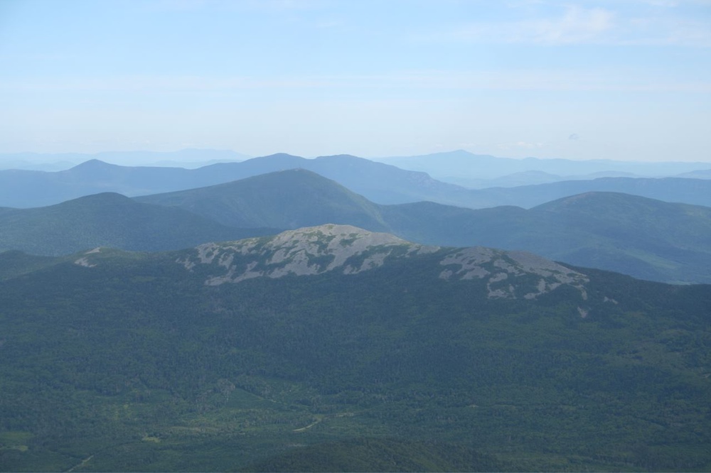
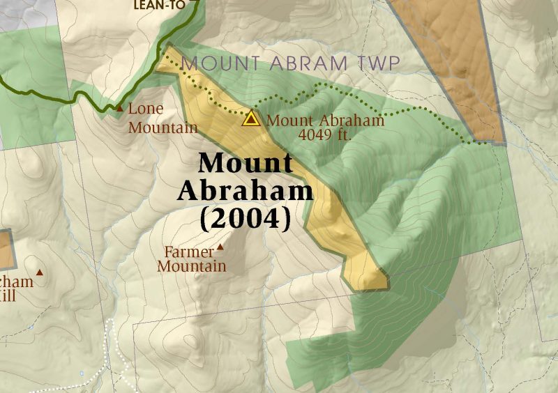 Today, the 6,214-acre Mount Abraham Public Reserve Land includes a 1,153-acre conservation easement held by the Maine Appalachian Trail Land Trust on the summit area of Abraham. There is a 200-acre alpine zone, old growth forests of approximately 300 years in age, at least eight rare and threatened plant and animal habitats, and spectacular mountain scenery on this 4,040 foot mountain. The area abuts the Appalachian Trail corridor on the northwest at Spaulding Mountain. Abraham is accessible via a side trail from the A.T. (Mount Abraham Trail) or by the Fire Warden’s Trail, an official A.T. side trail from the Rapid Stream Valley near Kingfield