Tom Lewis 1947-2024

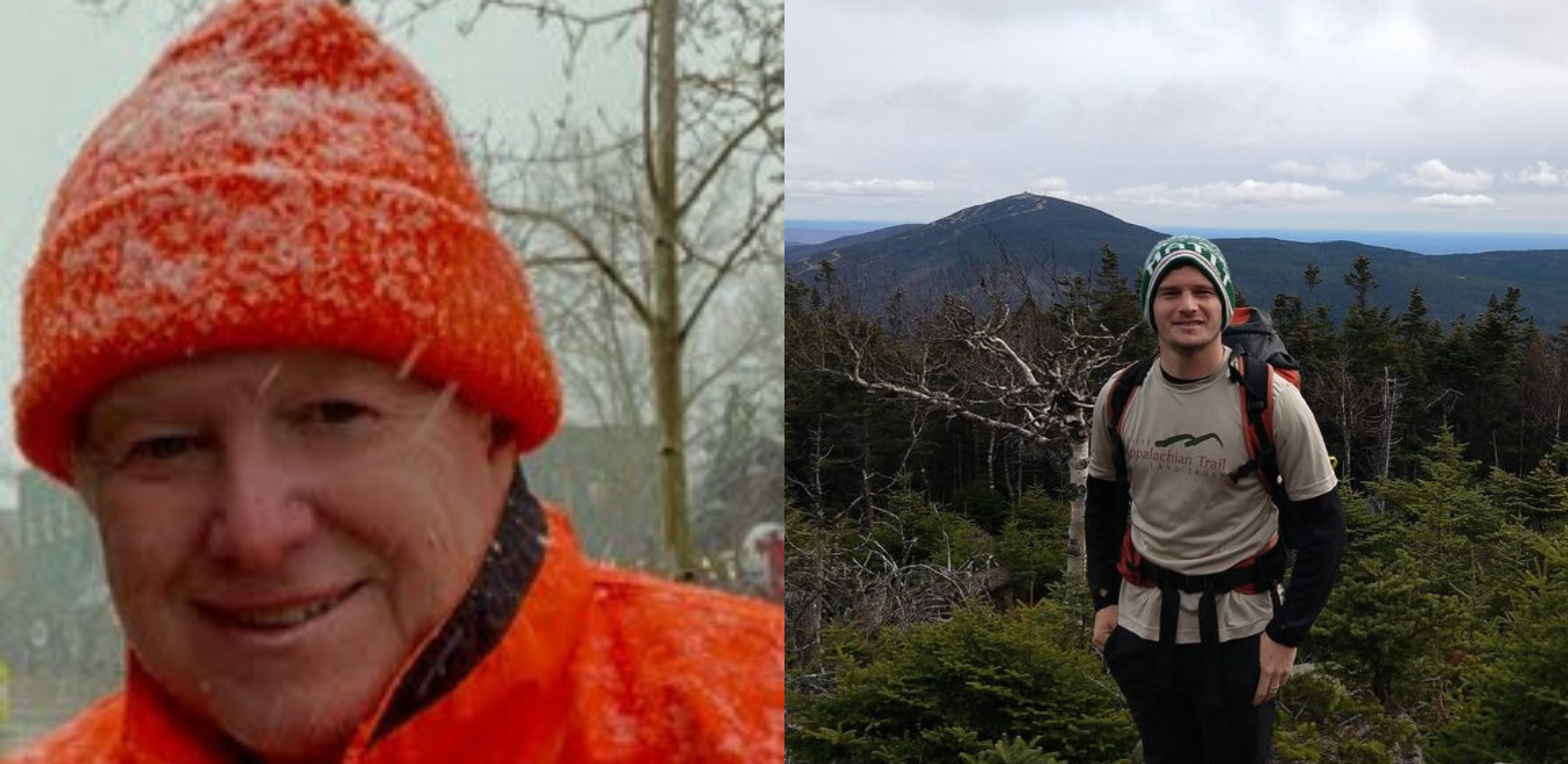
Tom Lewis, the Maine Appalachian Trail Land Trust’s first board president when the organization was founded in 2002, recently passed away in Oregon. Tom was a native Mainer and longtime resident of Yarmouth, where he worked to develop low income and senior housing projects until 2019.

Tom was instrumental in the Maine Appalachian Trail Land Trust’s early successes, including the protection of Saddleback Mountain and Mount Abraham in 2004. He was the organization’s first board president and served in many roles before finishing up his term as treasurer in 2015. There is a direct line from his dedication to the organization in these early years to the thriving land trust that exists today. He was also on the Appalachian Trail Conservancy’s Board of Managers and was a longtime volunteer for the Maine Appalachian Trail Club, for which he served in many roles.

Beyond dedication to Maine’s A.T., Tom was just a really nice guy who had a wry sense of humor and was always willing to do what it takes to get the work done. He will be sorely missed.

(Full obituary here: https://www.wiscassetnewspaper.com/article/thomas-d-lewis/252658)

First Light Summit Heartens Conservation Community in Wabanaki Territory

MATLT sent board member Lucy Santerre to the First Light Summit on Friday, October 11, 2024 at the Penobscot Theatre in downtown Bangor. The day kicked off with a welcome song and opening prayer followed by a keynote address by Corey Hinton, Leader of the Tribal Nations Practice Group at Drummond Woodson and colleague of several current and former MATLT board members. He encouraged bipartisan engagement in Indigenous rights issues and received a standing ovation.

Attendees were then witness to a panel with members of the Wabanaki Commission on Land and Stewardship who discussed land return initiatives and progress in Wabanaki territory. Speeches concluded at the Penobscot Theatre with a presentation by Lisa Sockabasin, Co-CEO of Wabanaki Public Health and Wellness.

The group then stepped onto the sidewalk for a surprise parade led by the College of the Atlantic Drumline. The parade ended at Norumbega Park on the Kenduskeag where attendees surrounded the Burnurwurbskek Singers, a group of Penobscot, Passamaquoddy, Maliseet and Mic Mac drummers, who performed several songs, including the national anthem of Native Americans sung across the continent. At one point, all attendees, numbering well over 100 people, participated in what the drummers called one of the largest Long Dances they’ve ever led.

Next, attendees were invited to a delicious lunch of Smoky’s BBQ at the new Wabanaki Public Health & Wellness youth and cultural center downtown. Heather Augustine charismatically introduced Corinna Gould of Sogorea Te’ Land Trust, whose ancestors lived on the lands that many know as the San Francisco Bay Area. Her tale of breaking ground on an Indigenous land back project via the creation of a land trust was inspiring. The summit also featured a beautiful performance by singer Isaac Syliboy.

Fall Stewardship Update

Saddleback looking down the Berry Picker’s Trail
Redington Forest – big
Hazardous bridge at Redington
Massive damage to logging roads.
White Cap Mountain
Former road to White Brook Trail parking area, now washed away.

Stewardship season! Each year the Maine Appalachian Trail Land Trust checks in on all our land holdings to make sure all is well. This ranges from making sure property lines are marked to checking on permitted trails to make sure the ecological values are not impacted. Stewardship work gets board, volunteers, and staff from MATLT out on the landscape, providing a valuable connection with nature and the A.T. region in Maine.

There are also extraordinary issues on the landscape, some of which are shown in these photos. The storms in 2023 and 2024 took their tool in certain areas, washing out roads and trails and compounding issues in a way that the A.T. region in Maine has not seen before. Most of the lands near the A.T. in Maine are accessed by private logging roads or other roads that aren’t maintained. Some are in better shape than others, but access could come via another road if the usual one was out. Now, with much more widespread impacts, it’s much harder to just pick a different route. The alternate way might have a bridge out or might have been damaged also. In some areas, trails have sustained damage and while they are passable they are difficult to navigate.

MATLT will continue to work on fixing these issues wherever possible, which is why your support is essential. Often there is no requirement that these repairs be made but we do our best!

Tracking Old Growth Forest Along the A.T. in Maine

Photo from Hagan, J., B. Shamgochian, M. Taylor, and M. Reed. 2024. Using LiDAR to Map, Quantify, and Conserve Late-successional Forest in Maine. Our Climate Common Report, Georgetown, Maine. 44 pp.

Part of “protecting” the Appalachian Trail in Maine involves knowing what to protect. Sometimes it’s a great side trail or recreation area; other times it’s a rare natural community like the alpine zone. Some elements are permanent, like a geographical feature. Some aren’t – like a trail. One certainty is that there are all kinds of conservation values and all kinds of way to measure them.

The Maine Appalachian Trail Land Trust uses data in our MATGIC system (Maine Appalachian Trail Geospatial Information for Conservation). MATGIC has lots of data on all the land within two miles of the A.T. and even beyond. Recently, MATLT was able to acquire data for late successional and old growth forests around the A.T. in Maine from a project undertaken by Our Climate Common. Using LiDAR – which is like a laser beam to determine tree canopy height from an airplane – John Hagan and his team have been able to map, with about 90% accuracy, the late successional and old growth forests in the Unorganized Territories of Maine.

What is LSOG and why is it important? LSOG is basically mature forest or forest that has not been subject to management (i.e. cut down). There are many reasons to protect remaining areas of LSOG in Maine – mature forests have many benefits, ecologically, visually, and recreationally – but the most important is that LSOG is very rare these days!

#WEOUTSIDE Program Celebrated

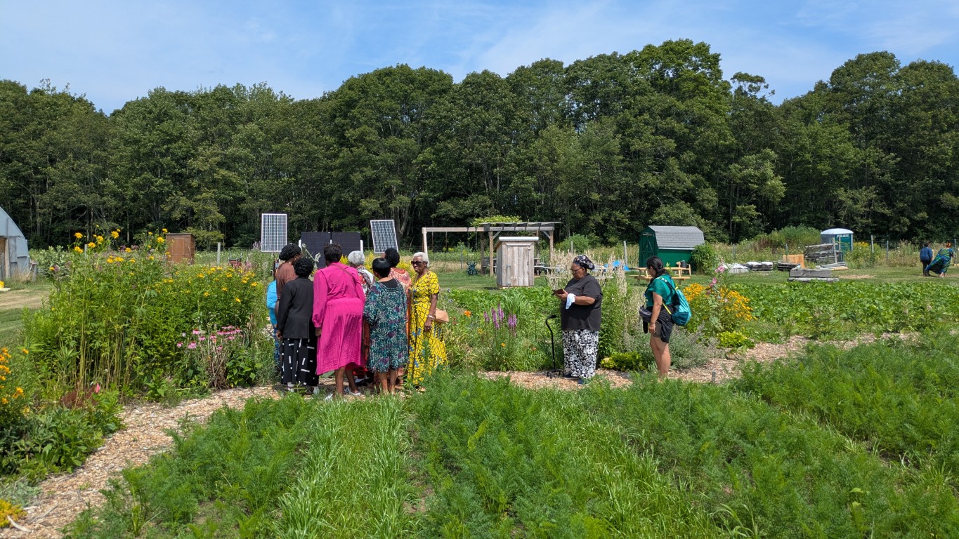
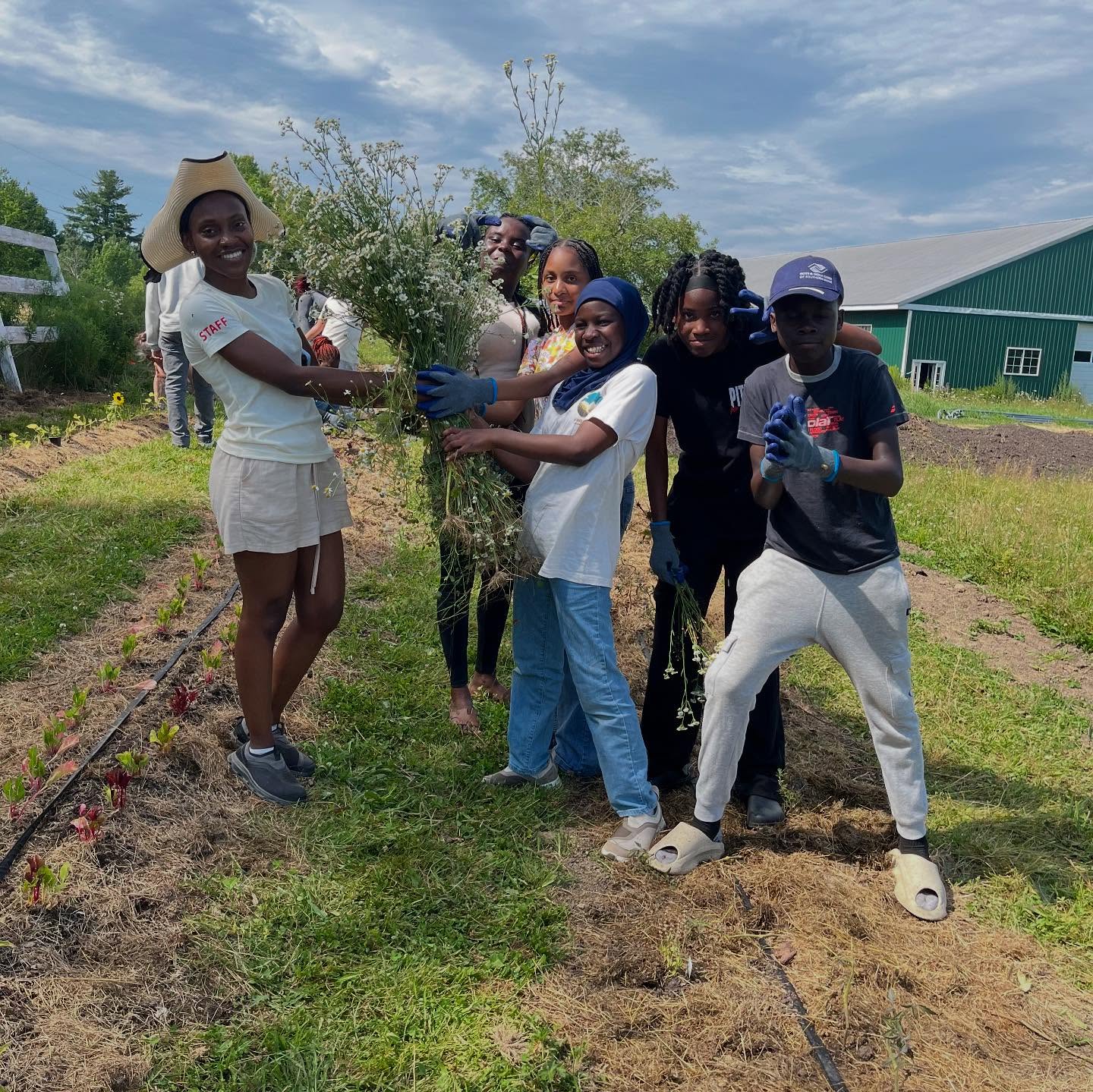
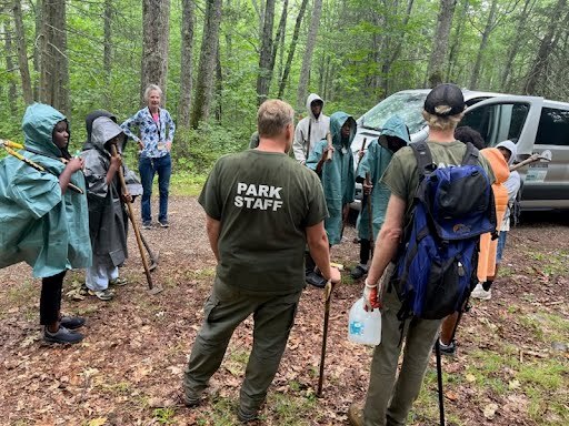
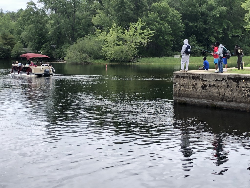
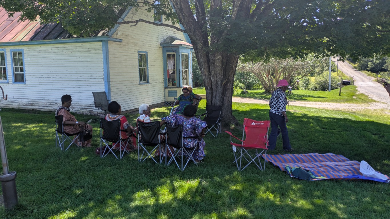
The Maine Appalachian Trail Land Trust and the Maine Association for New Americans recently hosted a reception that was a great big old thank you to all our partners for the #WEOUTSIDE program. #WEOUTSIDE has been a groundbreaking program in that in relies on the assistance of many partner organizations MATLT has worked with throughout the years, but for this program it was all about delivering great outdoor experiences for kids who arrived in Maine a year ago. In that regard, the program has been a huge success, and it wouldn’t have been possible without all of these partners. Thank you! Every one of our trips was led by one of these organizations or individuals. And in 2025, we’ll be starting the third year of #WEOUTSIDE with their help again.

MATLT Founding Board Member Bill Plouffe Honored

Bill Plouffe (seated) enjoys some free beer and ribbing.

Maine Appalachian Trail Land Trust board and some other friends recently gathered at a local Maine watering hole to honor longtime director Bill Plouffe, who stepped down from the board in 2024. Bill is the last of MATLT’s founding board members to step down – he was one of the original signatories on the organization’s founding documents upon incorporation in 2002. As a token of the organization’s thanks, Bill was given a framed canvas print by one of his favorite artists, Erik Koeppel.

During that time, Bill served as MATLT’s president for eight years and helped to oversee the organization’s great land projects in the last decade, with notable accomplishments like the Crocker Mountain and Orbeton Stream. These were followed by White Cap Mountain, Redington Forest, and Bald Mountain Pond. Bill also saw the organization grow into what it has become today: a well-respected conservation organization doing great work to benefit the Appalachian Trail and the people of Maine.

A hearty thank you to Bill!

New 3D Panoramic Imagery Captured

Using MATLT’s new drone, we have been able to capture 3D imagery which helps to monitor fee properties and conservation easements. Click on the images below to navigate with your mouse.

Saddleback Mountain from the Berry Picker’s Trail

White Cap Mountain from the White Brook Trail

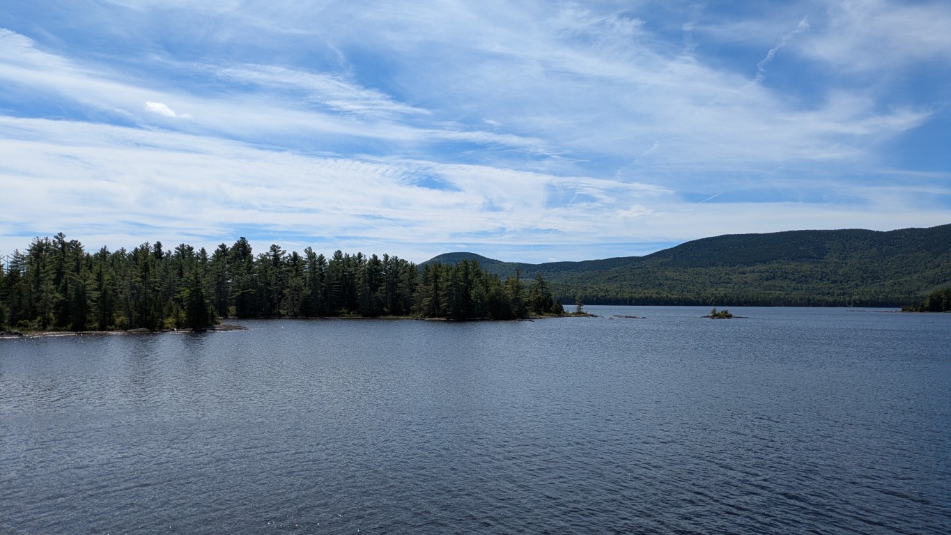
Bald Mountain Pond

MATLT Leads Learning Session on #WEOUTSIDE Program

The Land Trust Alliance hosted their annual 37th year of Rally: The National Land Conservation Conference in Providence, RI. Serving as the premier training and networking conference, Rally offers learning sessions focused on land conservation topics, networking events, exhibits, plenary sessions and an awards presentation celebrating conservation leadership.

The Maine Appalachian Trail Land Trust had the privilege to lead a learning session alongside the Maine Association for New Americans, focusing on the #WEOUTSIDE program. Many conservation organizations around the country are looking for ways to reach new audiences and deploy new programming to address inequities in the outdoor recreation and conservation space. Unfortunately, many land trusts don’t have community connections or don’t know how to reach audiences they aren’t currently serving. MATLT offered this session with the hopes that other organizations can take steps to run their own #WEOUTSIDE-type programs in other states and geographies. We’re also hoping to get other Maine-based organizations to get going too!

Look for more information on the #WEOUTSIDE winter programming to come later in 2024!

MATLT Receives Grant for High Peaks Initiative

The Maine Appalachian Trail Land Trust is pleased to announce that is has received funding from the Maine Office of Outdoor Recreation through the Community Recreation Assistance Recovery (CORA) Program. This is funded through the US Economic Development Administration (EDA) American Rescue Plan Act (ARPA) Travel, Tourism, and Outdoor Recreation State Grant.

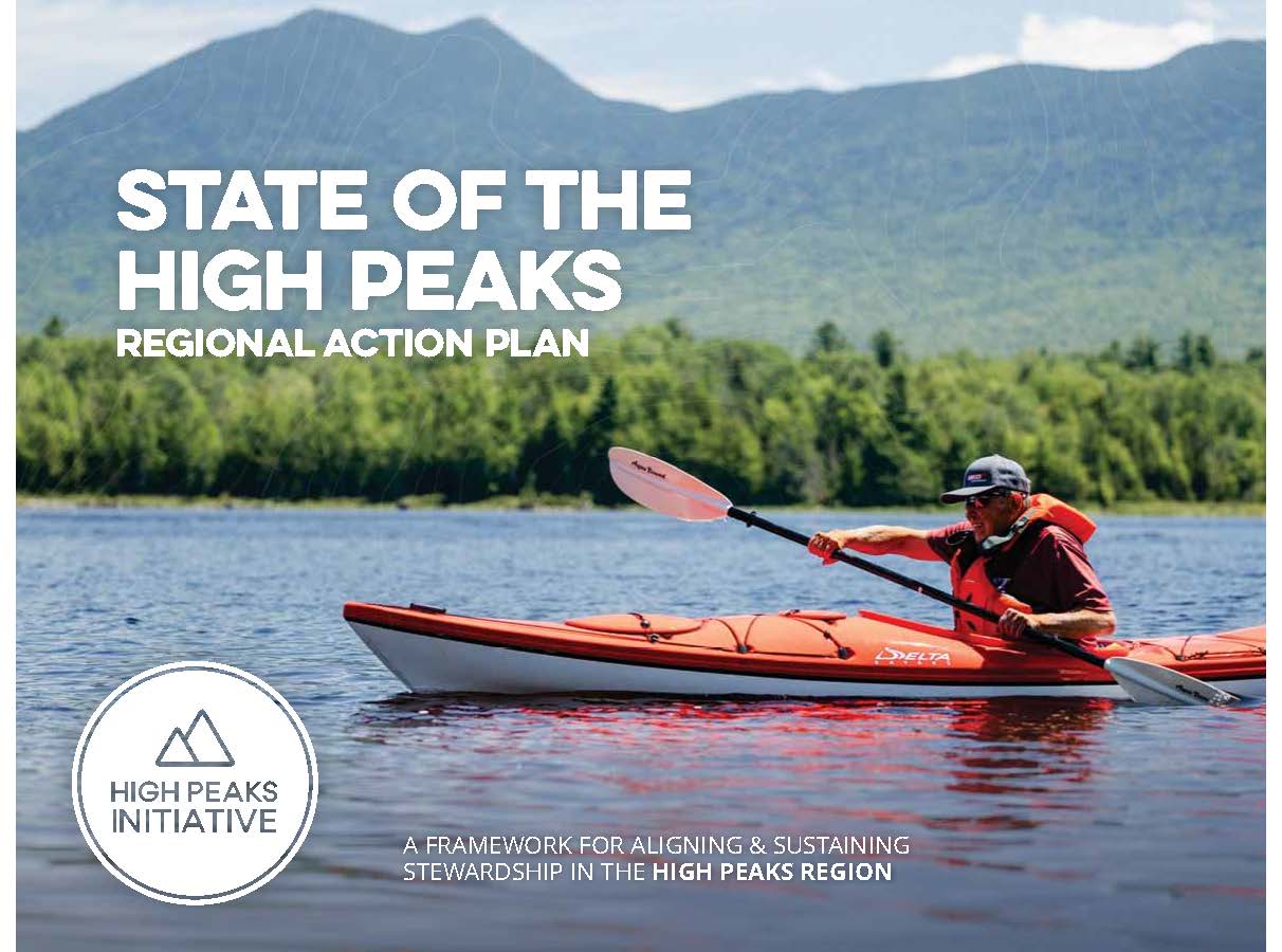
The High Peaks Initiative (HPI) is a collaborative of local, regional, and national organizations working in Maine’s High Peaks region. HPI’s Mission is to protect important natural resources, secure public access, and support healthy human and natural communities in Maine’s High Peaks. With this funding, HPI will Development a long range collaborative strategic action plan for the diverse recreational sectors that support the nature based tourism economy of Maine’s High Peaks region – hiking, biking, paddling, fishing, hunting, snowmobiling, cross country skiing, wildlife observation, snowshoeing, and ATV riding. The development of a strategic action plan will go hand-in-hand with plans for specific trails and areas which need attention – places where access has been closed off or is uncertain, areas where trails need to be rerouted or upgraded, areas that need to be conserved, and infrastructure that needs to be installed.

The long-term vision for the High Peaks region will be shaped with the input of numerous stakeholders and conservation organizations. We are pleased to be working with the Office of Outdoor Recreation to get this work done for Maine!


#WEOUTSIDE Nature Journaling: Yes We Did That

CREA Ecology Center
Small miracle – teenage boys sitting still journaling.
Can you spot the nature enthusiast?
Swimmin
The hardworking staff

The final #WEOUTSIDE trip of the summer! We had so many adventures but for our final trip, we wanted to slow things down a bit and take stock of what we learned, what we perceive around us and how that will shape us going forward. For this really special day, we once again enlisted Samaa Abdurraqib – Maine Master Naturalist, writer, professor, outdoor leader, Executive Director of the Maine Humanities Council, and probably like ten other things. Samaa was here to help the kids connect what they are seeing and doing in the natural world with their own selves, through observation and nature journaling.

For kids who spent the summer canoeing, hiking, mountain biking, and experiencing all the kinetic activities you can do in the Maine outdoors, this was a change of pace, but with Samaa leading the group at the Cathance River Education Alliance Ecology Center (CREA), it was a wonderful experience. Each participant was provided with their own nature journal and had access to a wealth of objects from the natural world which were all around them at CREA. Flowers, animals, rocks, trees, the river, the sky, and all that you can find in the Maine outdoors were their laboratory. Inside CREA there were models to work from for a closer view of organisms we saw across the pond or in the sky. It was an amazing experience to see how calm and introspective even teenagers become when you can give them a setting in which to slow down, use their senses and reflect on how they fit in with the natural world.

And then we also went swimming!

Special thanks to Samaa for her leadership and dedication to the #WEOUTSIDE program – it takes the efforts of many organizations and individuals to make this program happen and Samaa exemplifies that spirit.