The Maine Appalachian Trail Land Trust has been fortunate enough to complete several projects in the past few years in collaboration with several conservation partners. Gulf Hagas Whitecap, Redington Forest, Orbeton Stream and Crocker Mountain have all been protected in the past six years. More projects are in the pipeline, as the Appalachian Trail landscape is seen more and more as one of the last great open spaces in the east.
But with the completion of these projects come obligations to care for the lands. Some of these conservation lands are now in the care of the State of Maine, but others are either owned by the Maine A.T. Land Trust or protected with conservation easements which require great attention and monitoring. That’s where LightHawk comes in: their mission is to accelerate conservation success through the powerful perspective of flight.
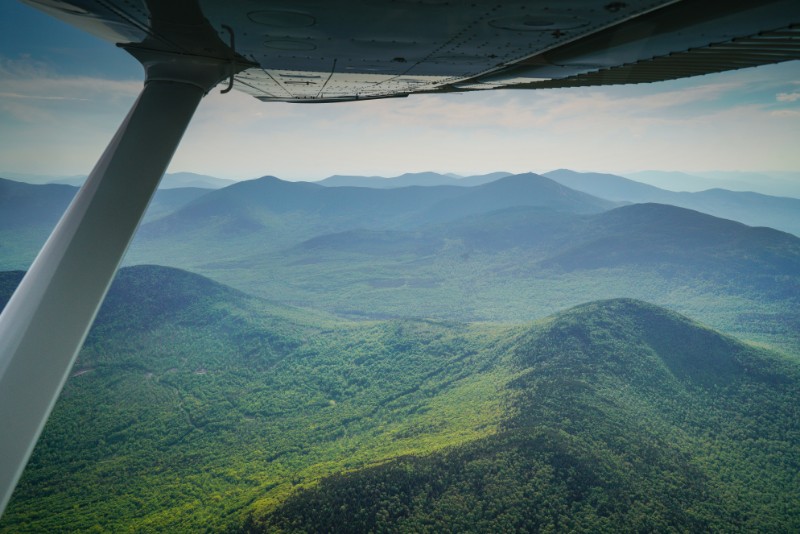
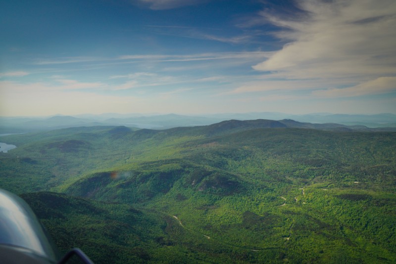
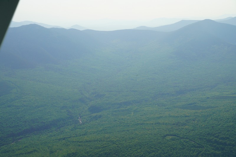
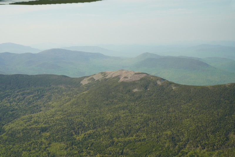
We’ve used LightHawk several times over the past few years in order to get this aerial perspective of Maine’s A.T. lands. Getting out by foot always a great way to see the landscape, but you can’t assess large-scale changes and impacts from the ground, or get an overall view of a 10,000-acre parcel. For this latest flight, we had the services of a professional photographer to help us gather visual documentation of a large conservation easement, take great images for our next round of conservation projects on Maine’s A.T., and check on some other areas that are either difficult to access or at a very large scale. How has vegetation recovered on the summit of Mt. Abraham? How is reforestation in the Rapid Stream Valley progressing? Check out the photos above!
A hearty thanks to LightHawk and our photographer for helping us protect the A.T. landscape in Maine!