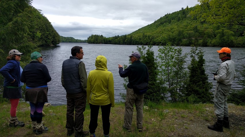
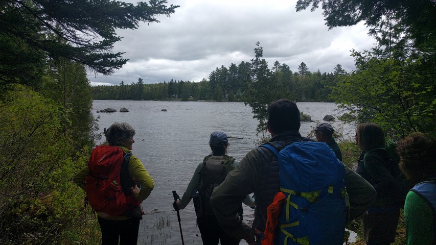
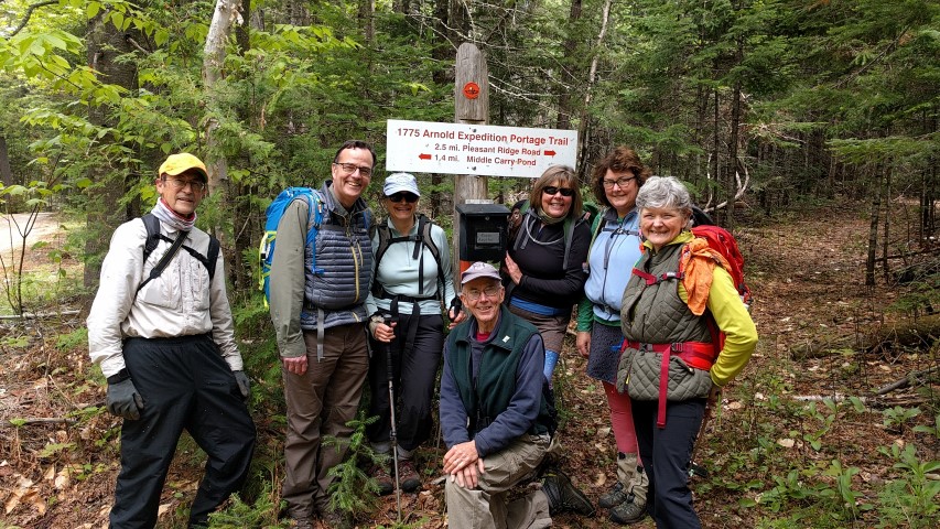
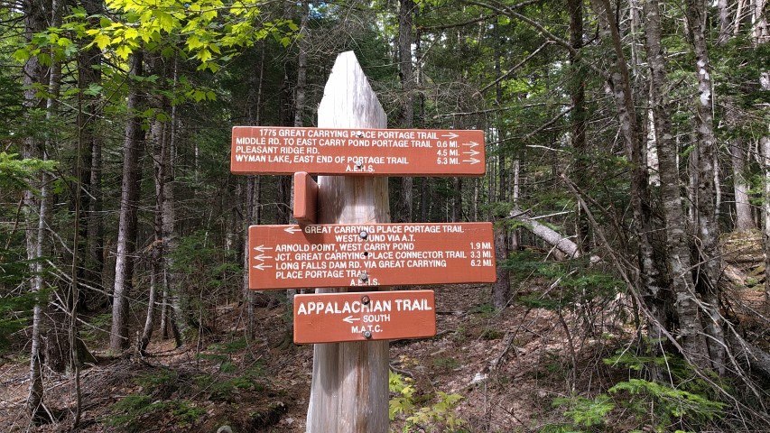
The most recent of our Next Century Hikes was held this past Saturday on a section of Maine’s Appalachian Trail that is not so well traveled: the area between Flagstaff Lake and the Kennebec River, more specifically the Carry Ponds. There are no high mountains on the A.T. here, and no side trails that go to other peaks. There is, however, a really interesting side trail that was completed just a few years ago – the Great Carrying Place Portage Trail.
In the fall of 1775, Benedict Arnold – then a rising star in the Continental Army, and years away from becoming the traitor we think of today – led an army of about 1,100 men by sea from Cambridge, Massachusetts and then up the Kennebec River to the Great Carrying Place in what is today Bingham, Maine (on Route 201). The army’s destination was Quebec, then held by the British, but first the army had to reach the city by the inland route since the St. Lawrence was heavily defended. The route was comprised of portages from the river to the Carry Ponds trips in bateaux, flat-bottomed boats that were hastily made for the expedition, and from there up the Dead River to Lake Megantic in Quebec. Unfortunately, the expedition was beset by trouble from the start. There was a late-season hurricane, the route was arduous, the men were exhausted and eventually many deserted. The eventual Christmas Day assault on Quebec ended in failure.
Fortunately for hikers today, the Arnold Expedition Historical Society has recreated the trail with 95% certainty up to West Carry Pond. The route is orange-blazed and has a number of signs along the way. There are a number of roads and camps in the area of the ponds and the route needs to be followed carefully, but it’s easily done for most of the route. The Appalachian Trail runs with the Arnold Trail from West Carry Pond to near Long Falls Dam Road.
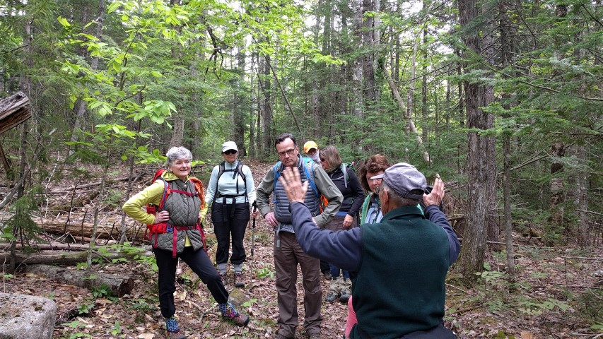
For the Maine A.T. Land Trust hike, we were planning to cover the route from the Great Carrying Place on the Kennebec River to Arnold Point on West Carry Pond. We were accompanied on the hike by Norm Kalloch, a volunteer for AEHS who owns a camp in the area. Despite his protestations to the contrary, Norm knows everything about the Arnold expedition and the land along the route. As soon as we set out, he told us about the challenges the men faced, the context of what they were doing, and how the landscape we were seeing related to what Arnold’s men saw and experienced. There were places where historic artifacts have been found, sites where Arnold’s men camped, hauled and even where they died, and much more. Hikers can get used to seeing the A.T. and its environment a certain way, but with Norm’s help we were able to look at the landscape differently. This is one of the things that makes Maine’s A.T. so special: the existence of trails, history, recreation and heritage all in one place.
The total distance we covered was about 13.5 miles, but this included a number of detours and anybody can hike any distance of the Arnold Trail depending on how far they want to go. We didn’t quite make it to Arnold Point, but it was a wonderful hike nonetheless!
If you are interested in hiking the Arnold Trail in Maine, head over to http://www.arnoldsmarch.com/ for more information. See you out on our next hike!

