Category: News

New Redington Forest Photos

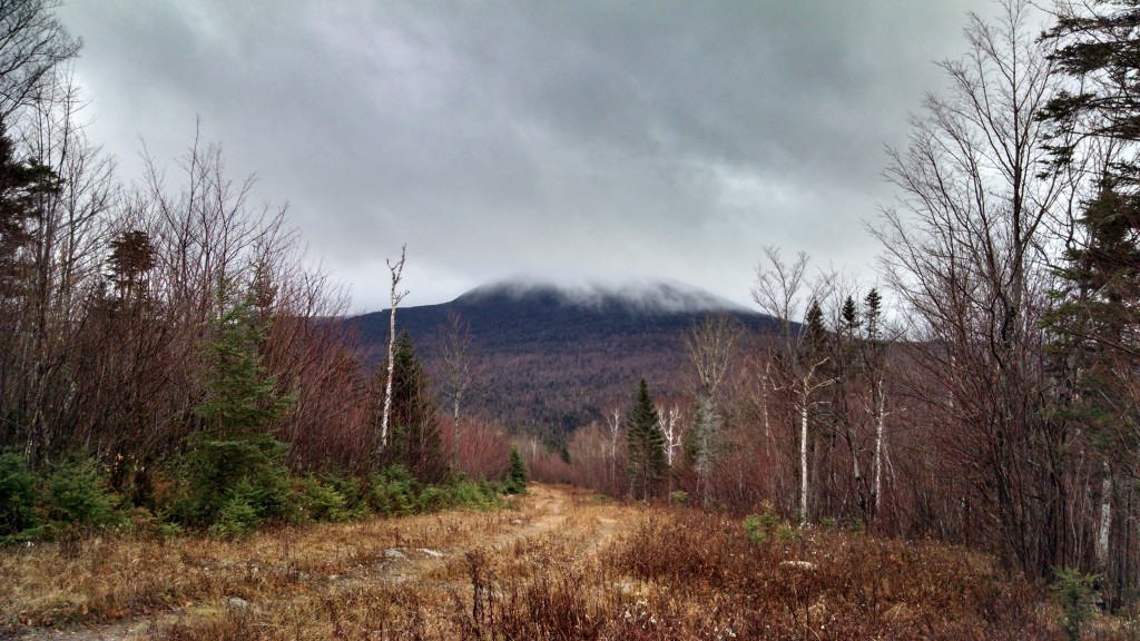
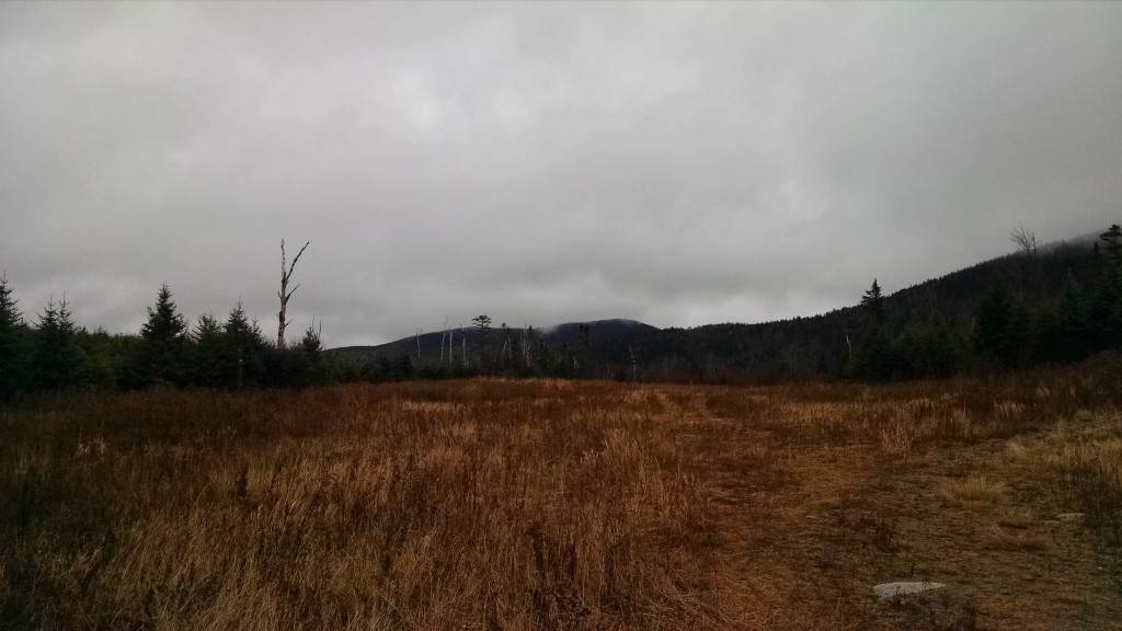
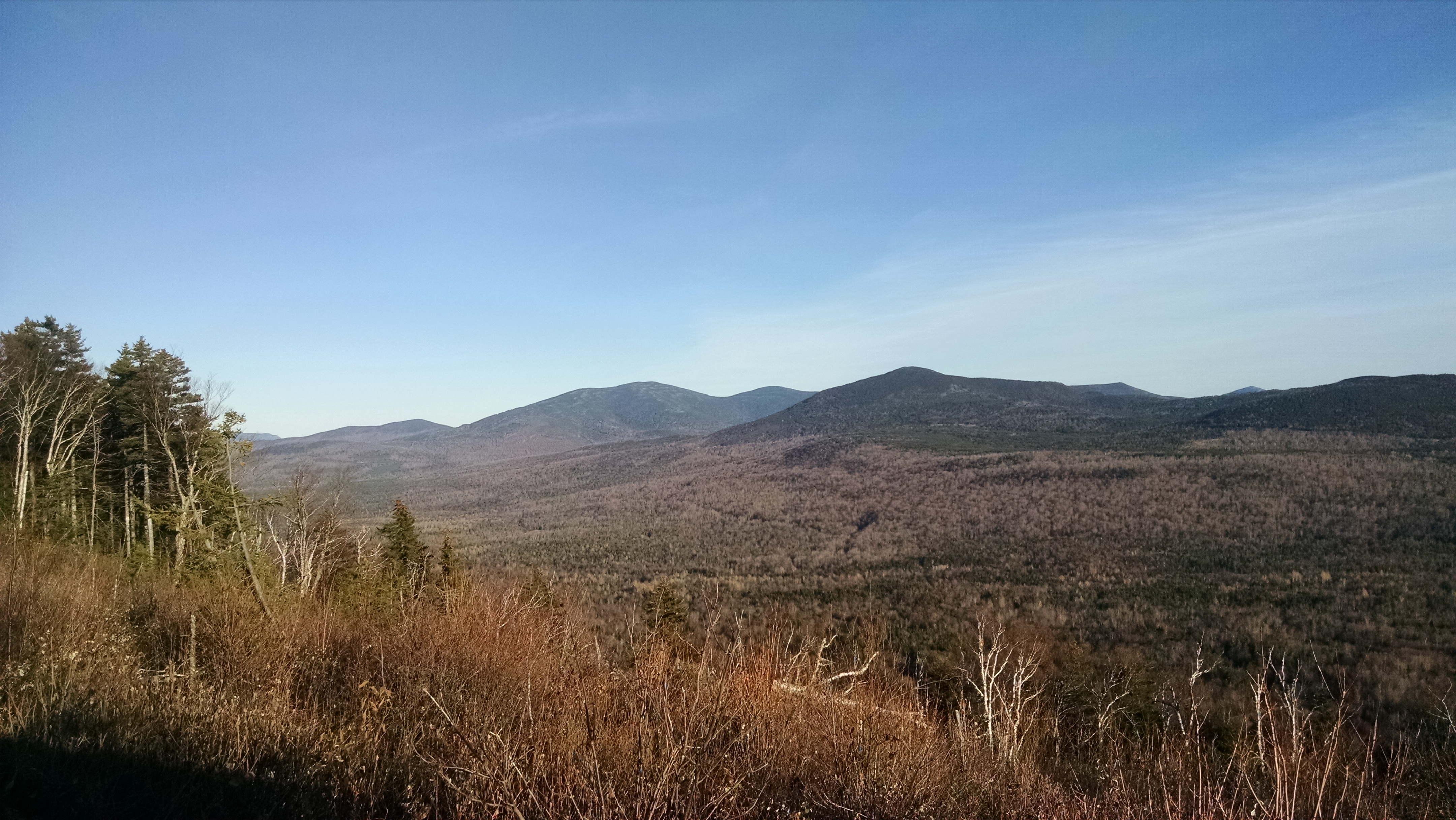
Black Nubble from Redington Forest

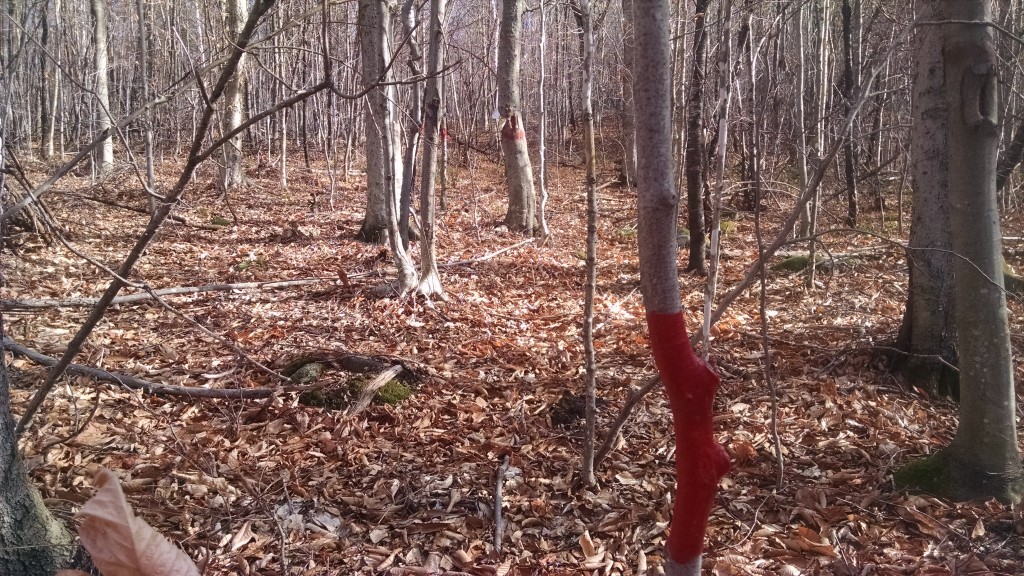
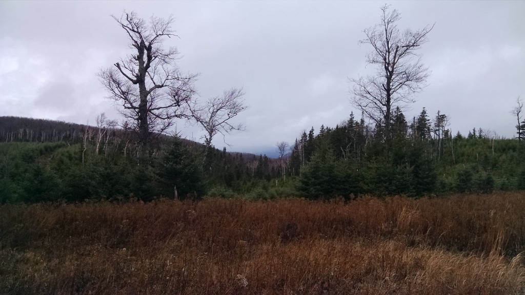
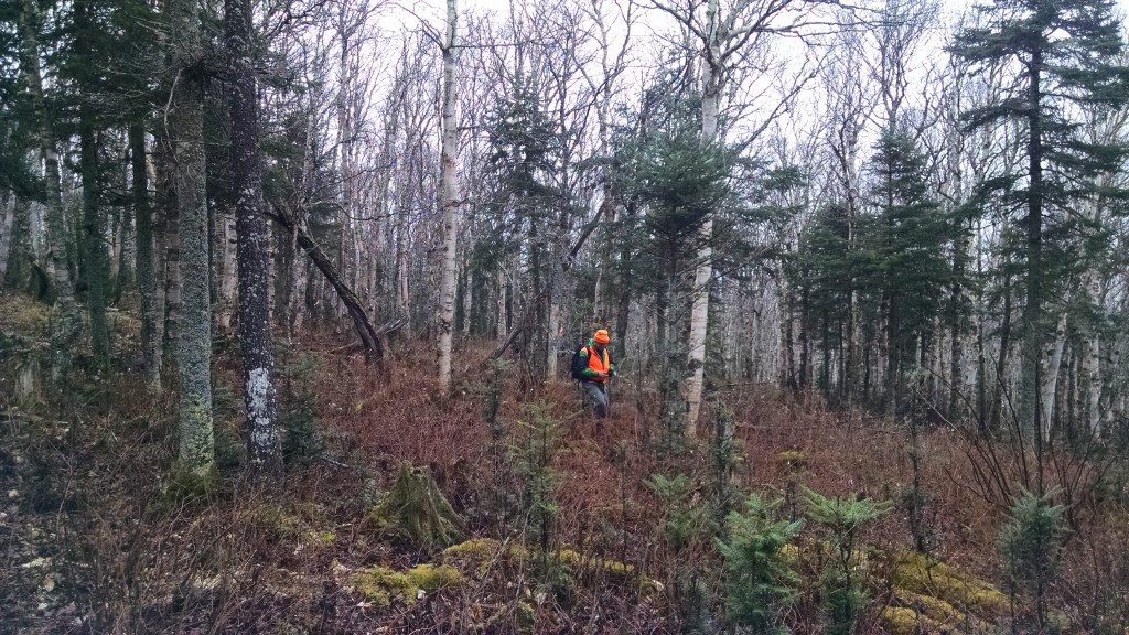
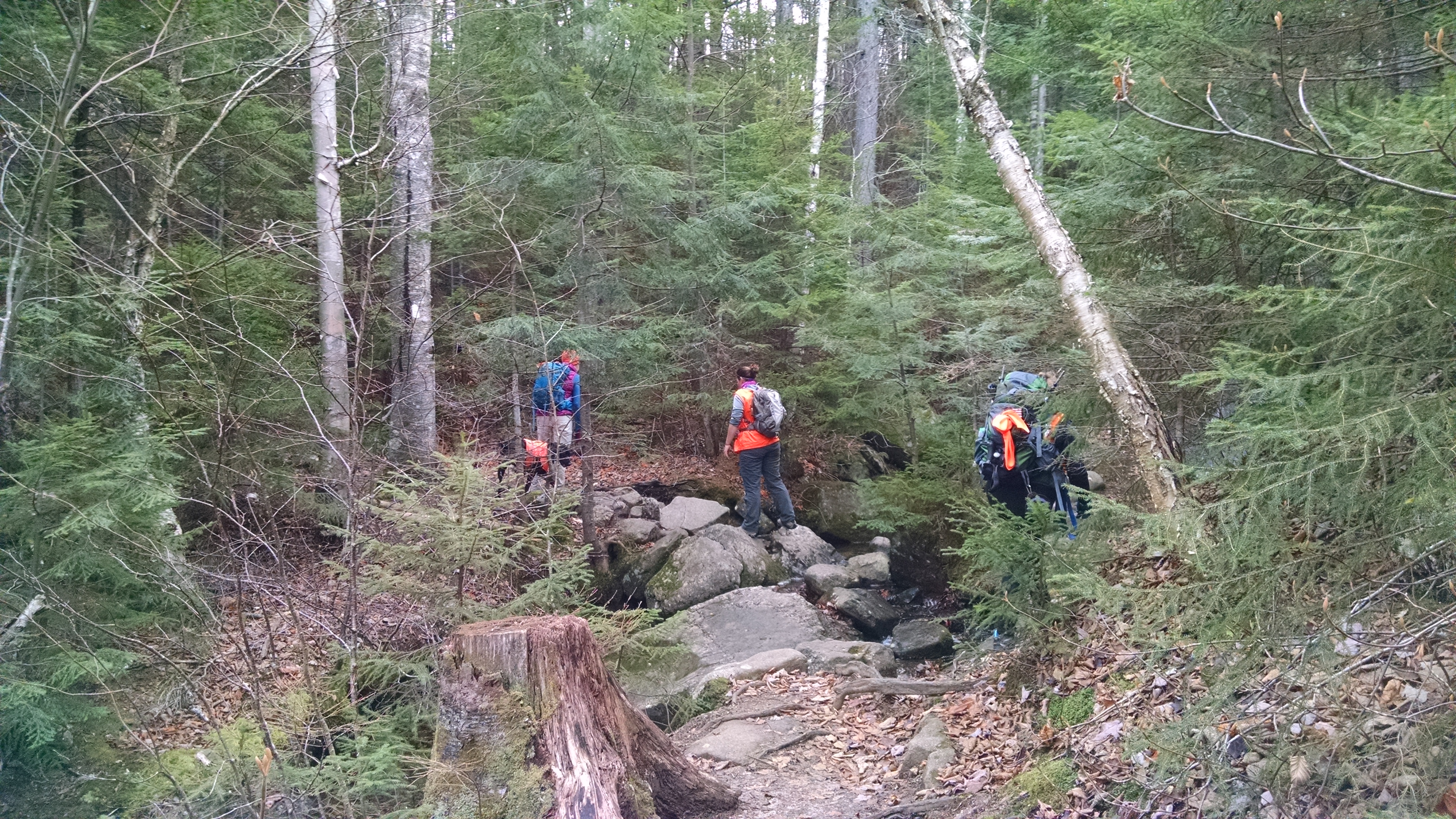
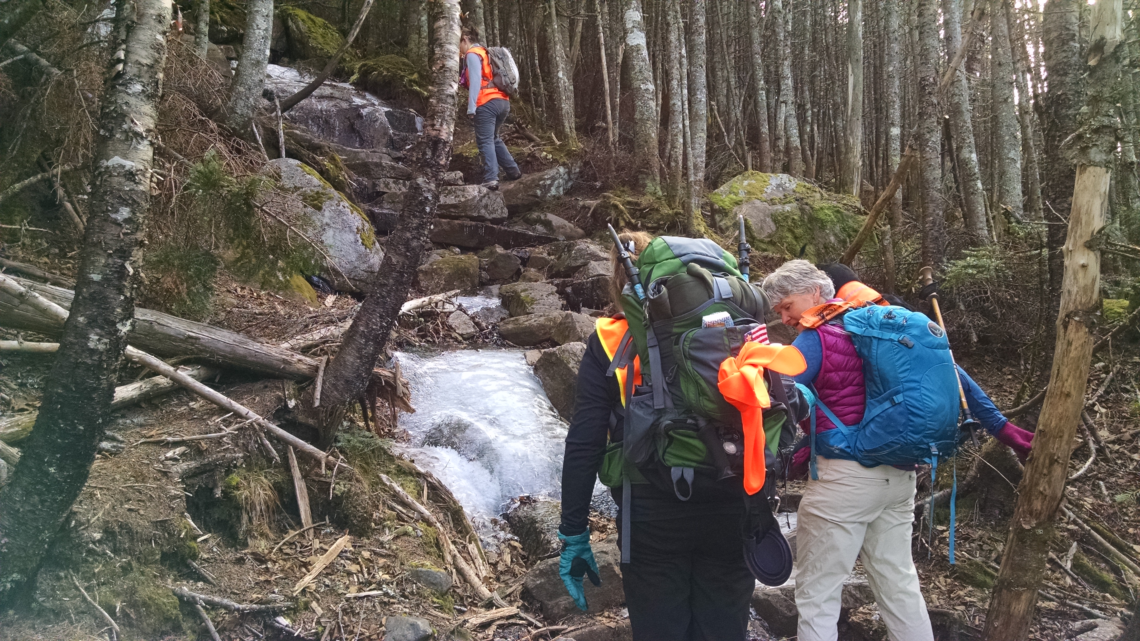
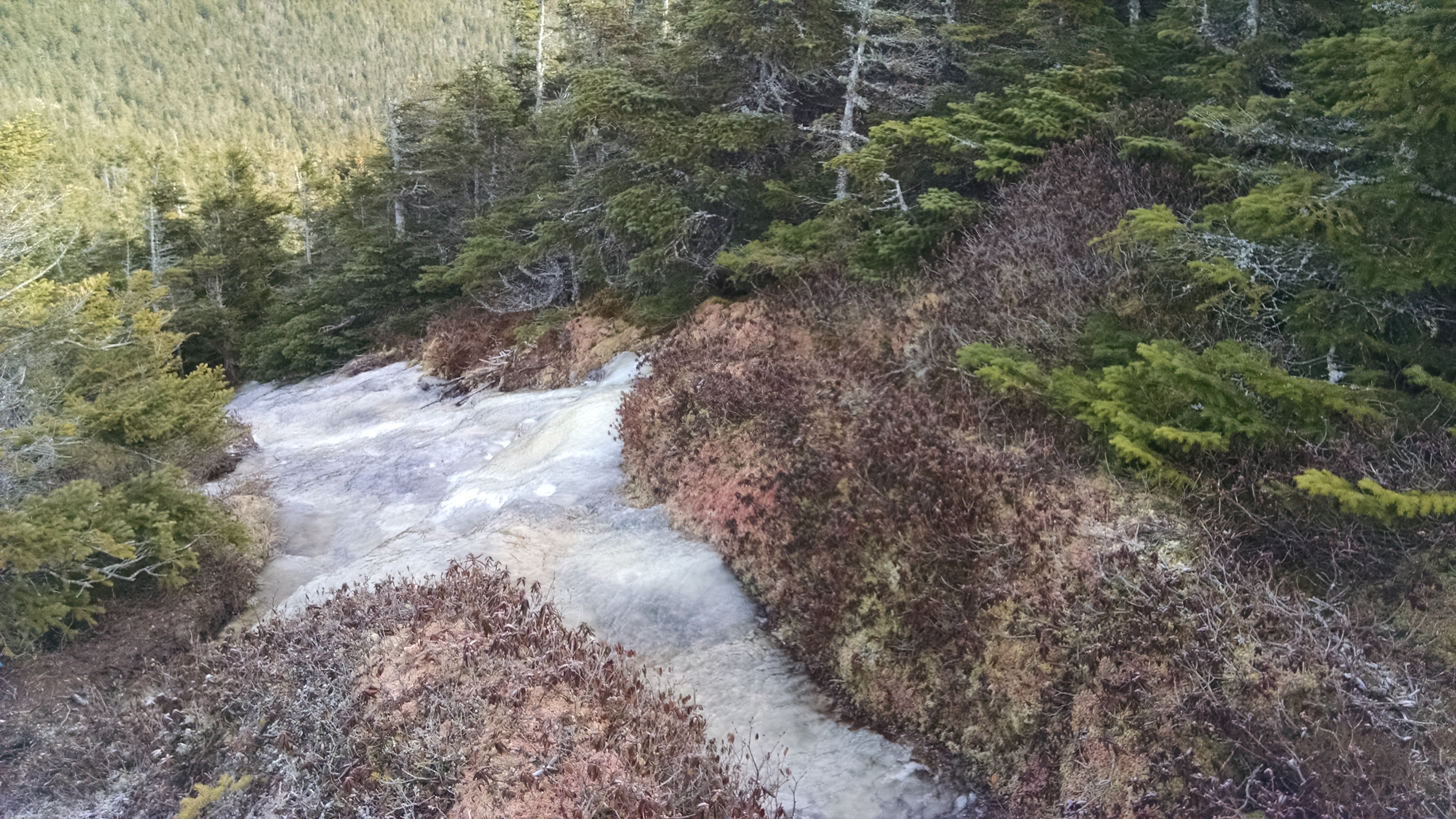
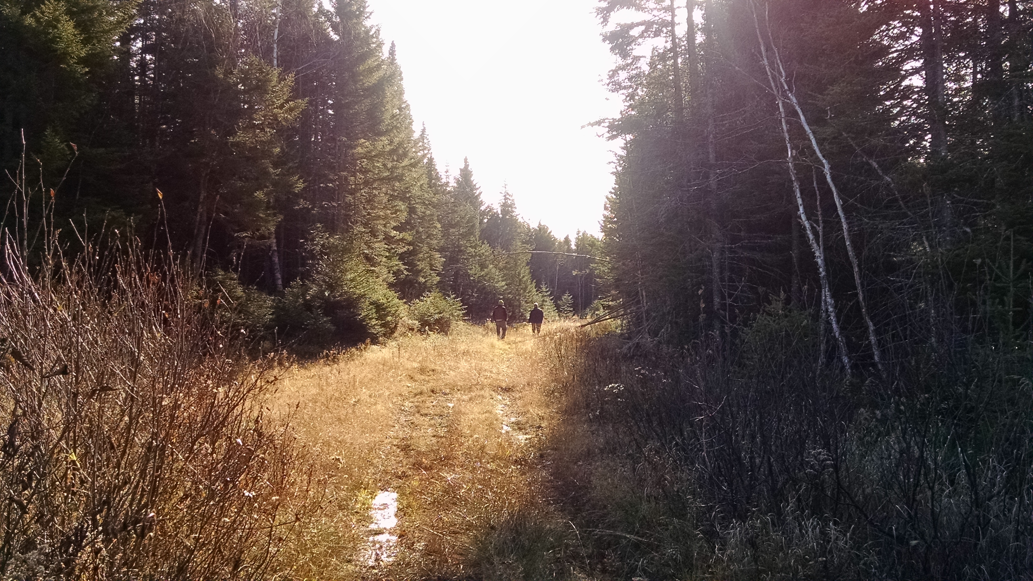
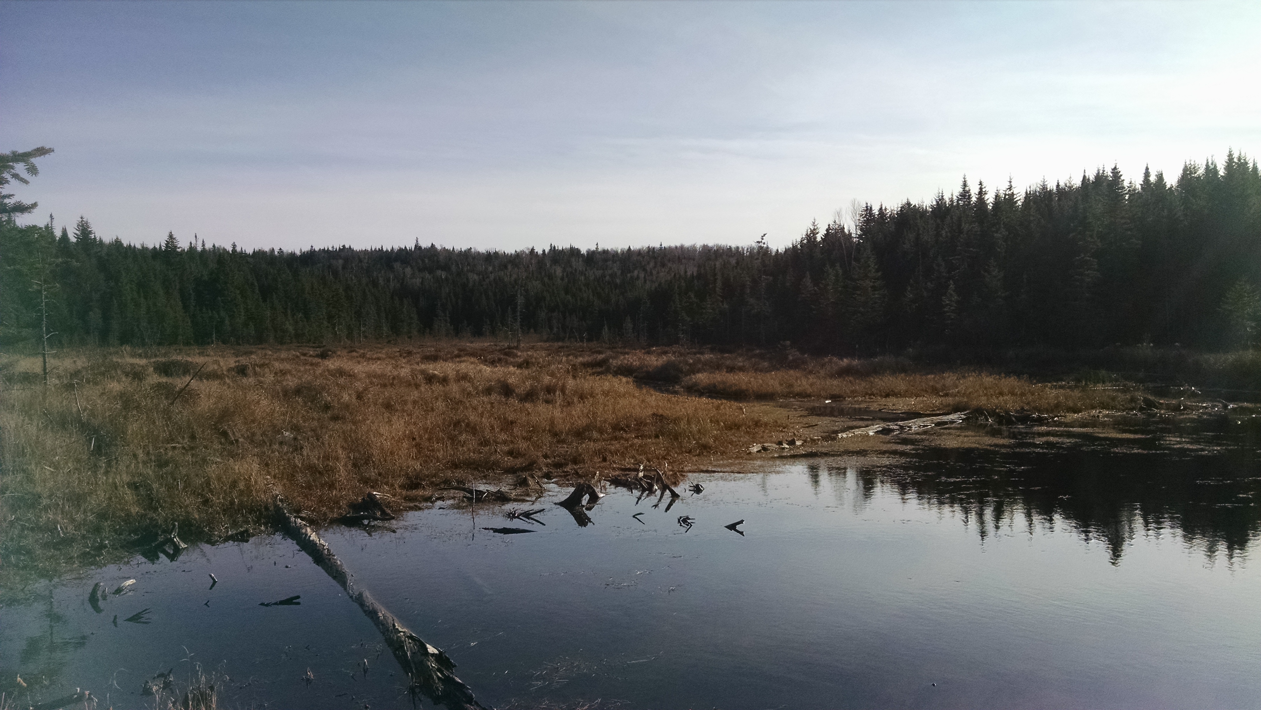
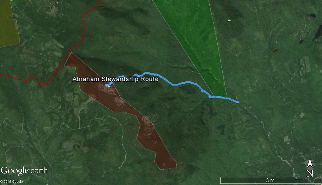
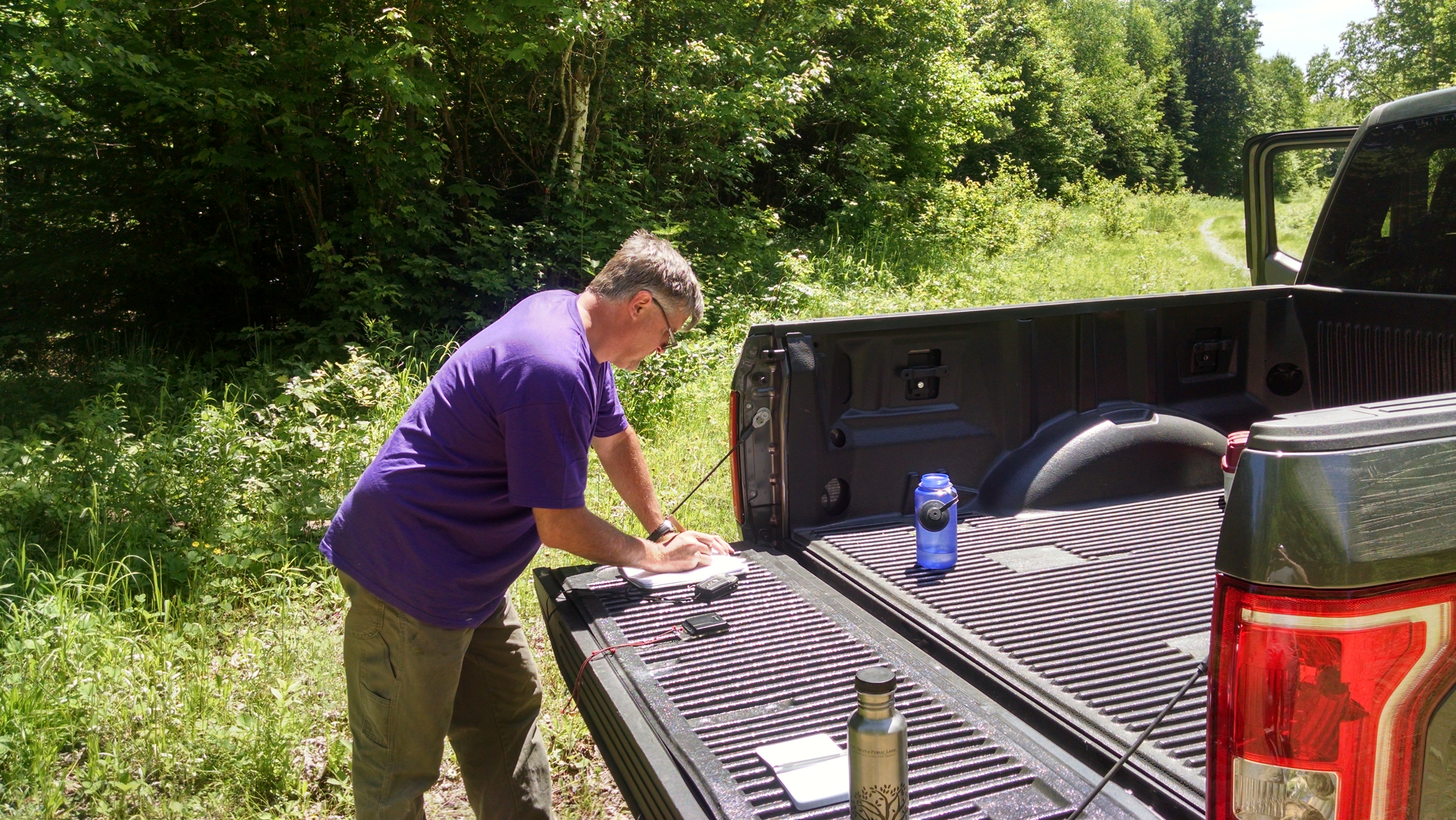
Maine A.T. Land Trust Director Tony Barrett, Executive Director Simon Rucker and Trust for Public Land Project Manager Gregg Caporossi made an site visit to the Redington Forest property last week.  As you can see from the photos, the land is covered in vast forests which are crossed with numerous streams.

Nash Stream
Nash Stream

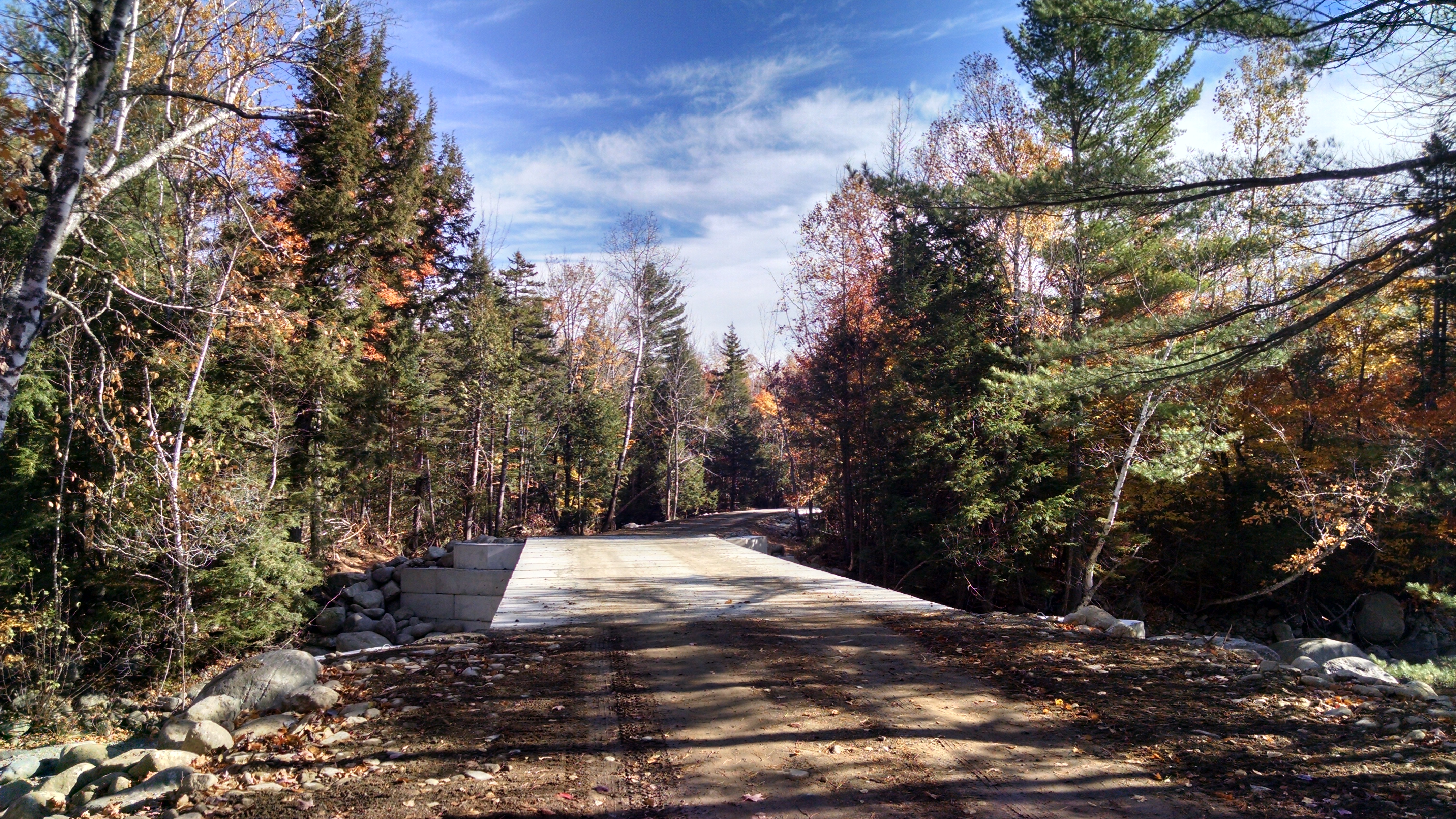
The roads were in fairly good shape and the bridge crossings were the cause of only minor heart attacks.  Nash Stream varies in size from a rivulet a few feet wide in the north to a major stream – almost a river – in the south.

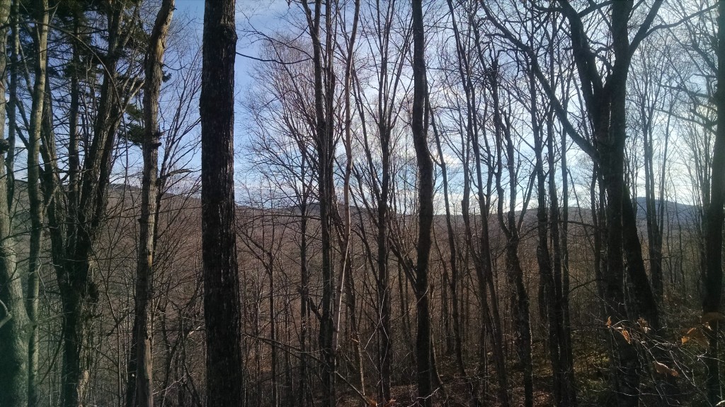
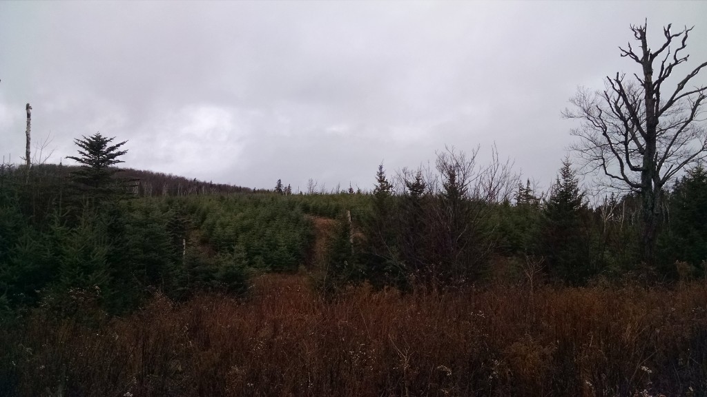
View north over Redington Forest

The southern area of Redington Forest ranges from about 2,000 to 3,000 feet in elevation, providing for sweeping views to the north.

View of the Bigelow Range.

As this was mostly a driving tour, we were not able to access most of the eastern portion of the property along the Appalachian Trail, but we will be heading up there soon enough and will post more photos.

June Hike Poll!

Where should the Maine Appalachian Trail Land Trust have our June hike?

Caribou Mountain (Evans Notch one)
Little Bigelow
Burnt Hill (Carrabassett Valley one)
Saddleback Mountain via the A.T.
Other
Please Specify:

Poll Maker

Perham Stream Birding Trail Hike

Perham Stream Birding Trail terrain.

We had a great hike on the Perham Stream Birding Trail in Madrid Township on Saturday, May 23rd.  The weather was a bit chilly at the start (there were a few snow showers in the mountains!) but it was a hardy bunch of about fifteen birders with binoculars and birding lists in hand.

Saddleback Mountain with a few remaining patches of snow.

The group was led by Pete McKinley, Ecologist at The Wilderness Society and Maine A.T. Land Trust Vice President, Kirsten Burbank, Trustee of the Sandy River Land Trust, and property owner Carson Hinkley.  We were treated to sightings of a Brown Thrasher, a few Magnolia Warblers, and a Northern Goshawk, among others (see full list below)!

The group gathers at Carson Hinkley's house. Carson maintains the trail which is on his property.
The group gathers at Carson Hinkley’s house. Carson maintains the trail which is on his property (he is pictured in the red jacket above).

Special thanks to Carson Hinkley for not only graciously opening his property up to public use, but for maintaining the trails and having a vision as to the design and future of the landscape.  His knowledge of the history of Madrid Township and the lands all around the High Peaks makes the trail what it is today.

Complete list of species seen (courtesy of Western Maine Audubon):

Turkey Vulture
Broad-winged Hawk
Mourning Dove
Ruby-throated Hummingbird
Pileated Woodpecker
Blue Jay
American Crow
Black-capped Chickadee
Red-breasted Nuthatch
Ruby-crowned Kinglet
Hermit Thrush
American Robin
Brown Thrasher
Nashville Warbler
Magnolia Warbler
Yellow-rumped Warbler
Pine Warbler
Black-and-white Warbler
American Redstart
Ovenbird
Chipping Sparrow
Song Sparrow
Rose-breasted Grosbeak
Common Grackle
Purple Finch
American Goldfinch

Doubleheader Birding Hike in The High Peaks

Mount Abraham from the Perham Stream Birding Trail.
Birding and nature enthusiasts are invited to join members of the Maine Appalachian Trail Land Trust, Sandy River Land Trust and Western Maine Audubon for a spring bird walk, led by Climatologist Peter McKinley, Ph. D., beginning at the Perham Stream Birding Trail kiosk on the East Madrid Road (#553) in Madrid Township on Saturday, May 23, 2015with the early birds at 7:00 a.m.
Map of the Perham Stream Birding Trail parking area.
We will then convoy to the higher elevations of the Barnjum area by car to look for higher elevation species like Bicknell’s thrush.  This second hike of the day will be more challenging than the one on the Perham Stream Birding Trail.  Please gather in the parking area by the birding trail kiosk at 10:00am for this hike.  We will then determine how many cars will proceed up the logging roads to the backside of Mount Abraham.  Hot coffee will be available – come enjoy the splendor of the western Maine mountains in springtime! For more information visit: http://www.mainetrailfinder.com/trails/trail/perham-birding-trail.  Please RSVP for this hike by emailing us at info@matlt.org or by calling 207-808-2073.


Orbeton Stream Article from A.T. Journeys

DCIM100GOPRO
The Orbeton Stream parcel in the valley below Saddleback Mountain.

There’s always a backstory when important lands are conserved, and the Orbeton Stream parcel is no exception.  Sometimes that story is straightforward and the path is clear – the story is easy to tell.  Sometimes the route is long and winding and full of ups and downs, but this is usually a more interesting tale.  This project leans towards the latter, but you can read for yourself how these lands came to be protected.  Click below to read a story by Maine A.T. Land Trust President Bill Plouffe and ATC Maine Conservation Resources Manager Claire Polfus about the genesis of the Orbeton Stream project.

Spectacular Terrain – AT Journeys Article Spring 2015

Berry Pickers’ Trail – New A.T. Side Trail Coming This Summer

The Berry Pickers' Trail will open a new approach to the summit of Saddleback Mountain.
The Berry Pickers’ Trail will open a new approach to the summit of Saddleback Mountain up the ridge seen here.

The Maine Appalachian Trail Club, working with Maine A.T. Land Trust and Appalachian Trail Conservancy, will begin constructing a trail up the eastern flank of Saddleback Mountain beginning this summer.  The trail will open up the possibility of a loop hike to Saddleback by using the Fly Rod Crosby Trail and the Appalachian Trail.  We will be posting further updates during the course of the summer.  The forest is very thick until the trail reaches the open ledges on the ridge, so MATC and their hardy crew will have their hands full clearing this trail.

Redington Forest Project

Redington Forest from the slopes of Mt. Redington.  Photo by Dustin Wright.
Redington Forest from the slopes of Mt. Redington. Photo by Dustin Wright.

The Maine Appalachian Trail Land Trust is pleased to announce that we will be partnering with The Trust for Public Land and the United States Navy on the Redington Forest project.  This 10,000-acre forest has outstanding wildlife habitat, landscape-scale connectivity potential and as a working, sustainably-managed forest it will continue to provide jobs for Franklin County.  This area has long been used for hiking, hunting, fishing, snowmobiling, ATV riding and cross country skiing by individuals from the local area and those who visit the High Peaks region.  These uses will continue under a conservation easement which will be held by Maine Appalachian Trail Land Trust and the U.S. Navy.  There will be opportunities for new recreational trails as well.

Redington Forest project area.  Also shown are previous Maine Appalachian Trail Land Trust projects.
Redington Forest project area. Also shown are past Maine Appalachian Trail Land Trust projects.

At this time the land trust is examining the possibility of an ecological reserve component and certain high-elevation areas will be under habitat management for rare species like Bicknell’s thrush.  Development rights on the parcel will be extinguished, ensuring that these lands will remain forested in perpetuity and the Appalachian Trail will be buffered from incompatible uses.  Once the easement is acquired, Maine Appalachian Trail Land Trust plans to use the protected property for recreational/youth group outings, stewardship and trail maintenance opportunities, and healthy lifestyle programs.

This project is a major breakthrough for Maine A.T. Land Trust and we’re going to need every bit of support we can get.  In the coming months, we will be posting more photos and maps of this very special property so you can see for yourself why these Appalachian Trail lands need to be protected.

We welcome any ideas for what you would like to see for Redington Forest and encourage you to get in touch with us.  This is a very exciting project and these lands will be open for public use, so it’s important to have your input.

Maine LD 911 – New Wind Power Legislation

Record Hill installation in Roxbury, Maine

A draft of legislation to enhance the scenic impacts to be measured when a proposed wind energy development applies for permits to construct the facility is now making its way through the Maine legislative process.  LD 911 would require more extensive analysis of the visual impact of wind energy installations, especially on immensely significant scenic areas like the Appalachian Trail.  Maine Appalachian Trail Land Trust supports this legislation as a means of protecting Maine’s A.T. lands and you can read our letter to the legislature’s Committee on Environment and Natural Resources below.

LD 911 Letter of Support

Board Members Honored by MATC

Maine A.T. Land Trust President Bill Plouffe accepts Maine Appalachian Trail Club's President Award from Tony Barrett (who also received an award).
Maine A.T. Land Trust President Bill Plouffe accepts Maine Appalachian Trail Club’s President Award from Tony Barrett (who also received an award).

Not one, not two but THREE Maine A.T. Land Trust board members received an award at the Maine Appalachian Trail Club’s Spring Meeting in April.  Bill Plouffe and Tony Barrett each received the President’s Award.  Tony received his for his commitment to a wide range of issues impacting the club as well as helping steer committees such as the Wind Power and ATC 2017 Biennial.  Bill was presented with his award (shown above – an old MATC trail sign) for his contribution of legal expertise to MATC.

Board member Bob Cummings received Honorary Membership for being a guiding force for the club, volunteering countless hours and holding leadership positions throughout his decades of service.

Tony was also crowned the meeting’s GORP Champ for his prize-winning trail mix.

Maine Appalachian Trail Club Brochure

MATC Brochure_Page_1


Maine Appalachian Trail Club (MATC), the volunteer club that maintains and manages the Appalachian Trail in Maine, has a great new brochure (click the image above to see the whole thing).  Maine A.T. Land Trust works closely with MATC, whose trailbuilding skills are unmatched in the state.  This summer MATC will be building a new official A.T. side trail on our Saddleback property.  We will be posted maps and updates and even having a few hikes to the location.  Stay tuned…