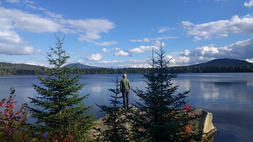
Our roster of spring and summer hikes is up – head on over to our events calendar to sign up!
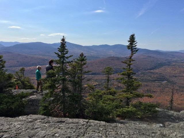
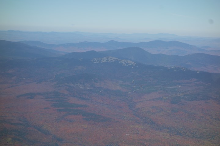
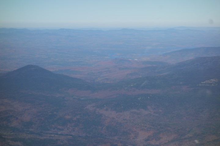
Maine Appalachian Trail Land Trust Summer Trips
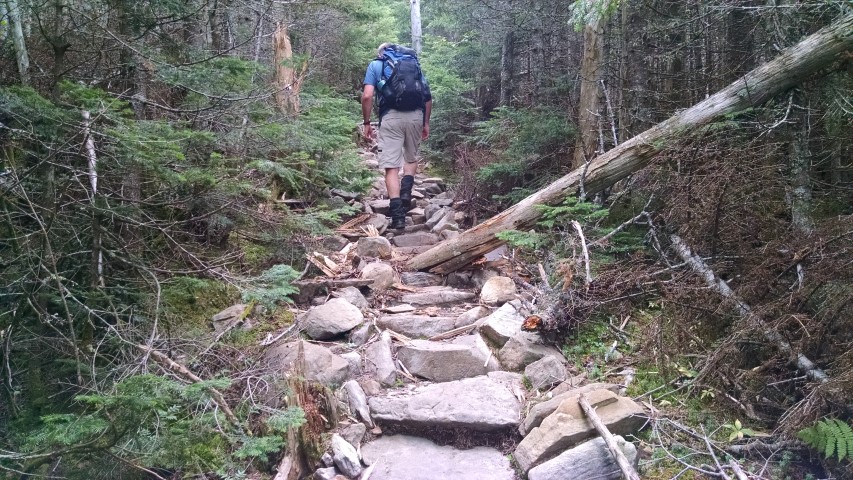
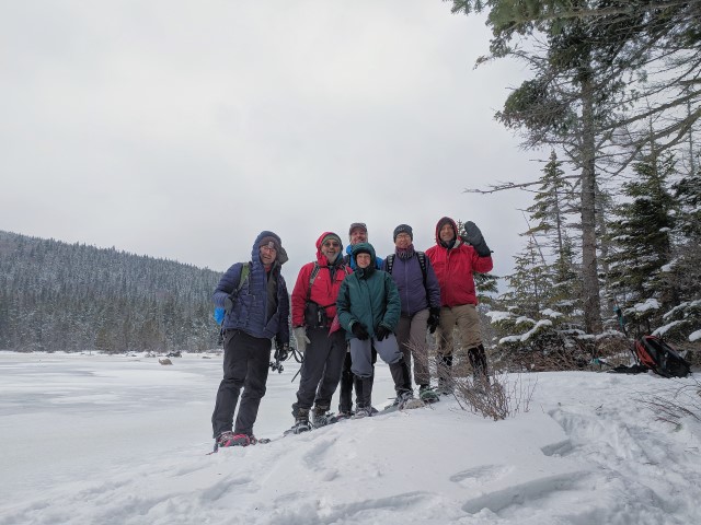
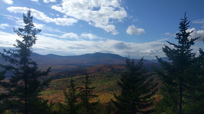
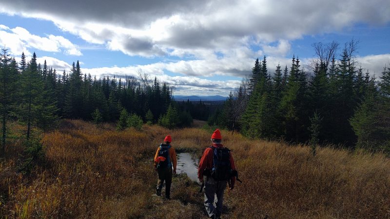
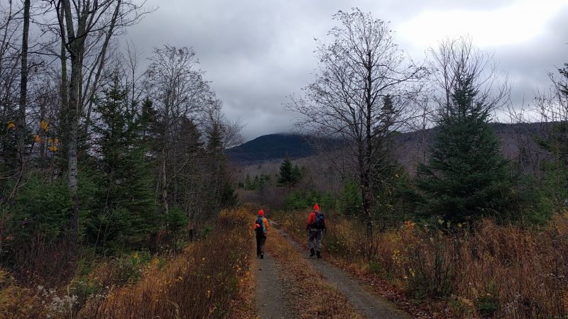
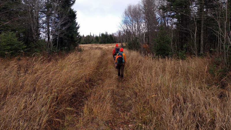
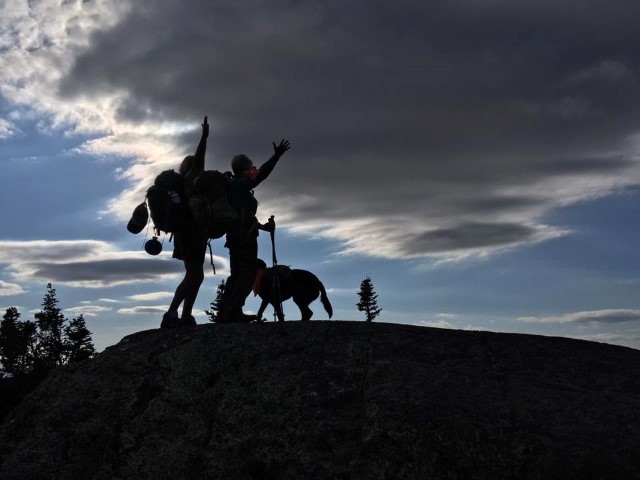
As we move into spring (finally…), the Maine Appalachian Trail Land Trust is planning our roster of summer hikes. These trips are free to the public if space is available, and members get initial access to the RSVP. We also lead groups on guided hikes – if your organization or group wants to hit the A.T. with us this summer, please contact us at info@matlt.org. This service is free. You do not have to pay anything to have your group to this. Hike availability is subject to scheduling, however.
Here is a sampling of our summer trips. We are aiming to have one per weekend, so check back when the schedule is up (a week or so). If you have a request that didn’t make this list, let us know!
Berry Pickers to Saddleback and The Horn
Goose Eye via Wright Trail
Old Speck
Baldpates
Puzzle Mountain
Old Blue
Bemis Mountain
Four Ponds (early season)
Caribou Mountain (early season)
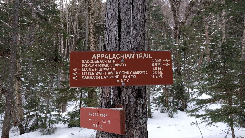
Piazza Rock/Eddy Pond (early season)
Sugarloaf
Crockers
Cranberry Peak
Bigelows/West Peak
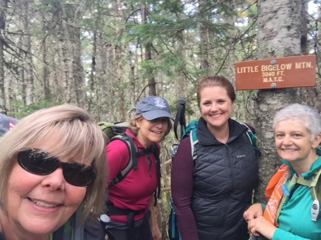
Little Bigelow
Arnold Trail hike (early season, scheduled hike TBD)
Pleasant Pond Mountain (early season)
Bald Mountain Pond (scheduled hike TBD)
Buck Hill (early season)
Barren Mountain
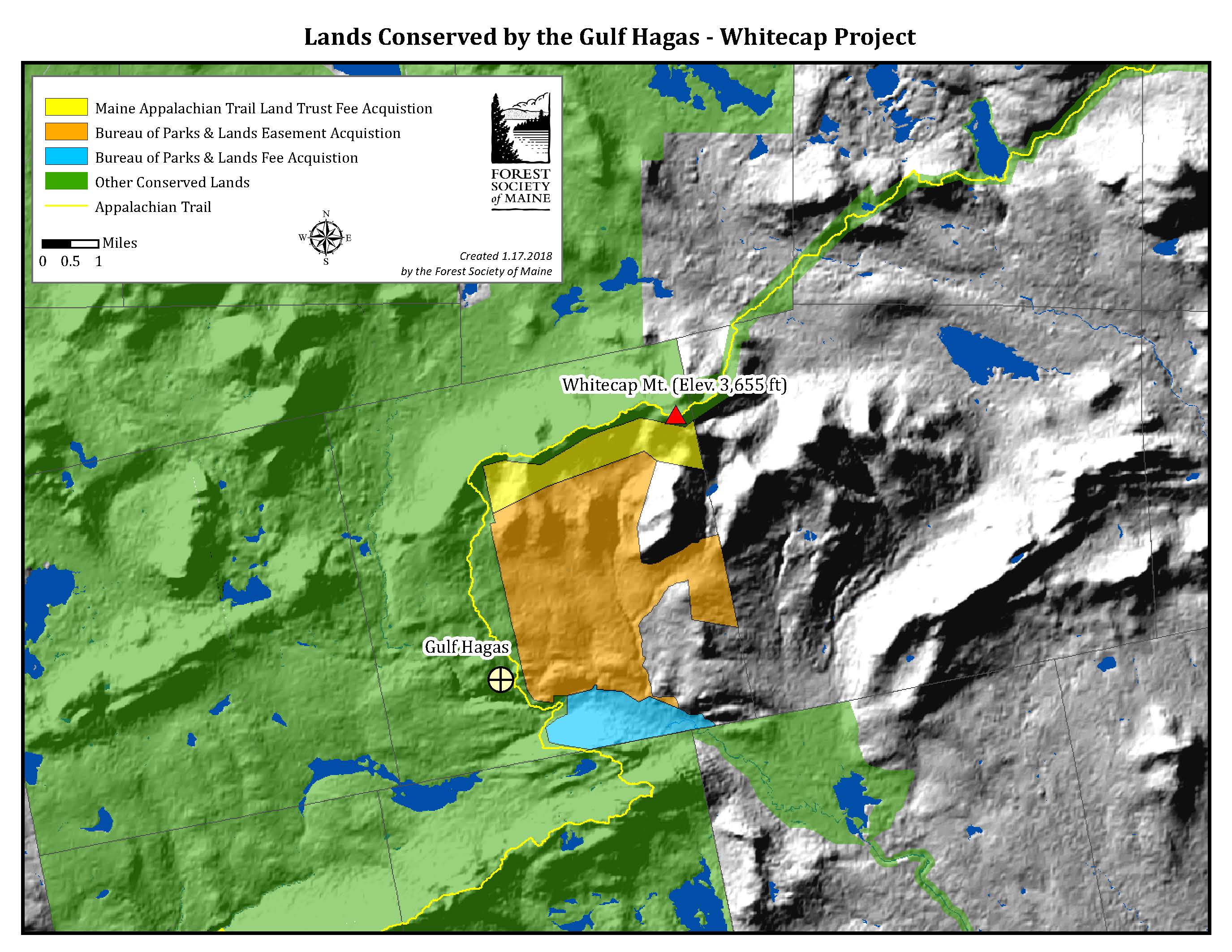
Gulf Hagas
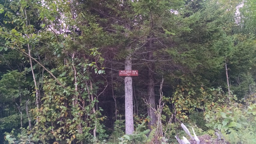
White Cap
Maine Appalachian Trail Club Spring Meeting Report
The Maine Appalachian Trail Club held their annual spring meeting last week. In addition to tackling ordinary club business – trail maintenance responsibilities, officer elections, etc. – there was considerable time devoted to planning for the upcoming Appalachian Trail Conservancy 2017 Conference which will be held right here in Maine. This biennial event is a gathering of people from all over the country who are connected to the A.T. – maintainers, volunteers, past thru-hikers and more. The Maine Appalachian Trail Land Trust will be a part of this great event.
This year’s conference will feature guided hikes, workshops, an art and land conservation symposium and more. The event will be held at Colby College and registration information can be found here. Registration opens on May 1st – sign up for this great event because it will be the last A.T. conference of this kind!
Enduring Heights: Maine High Peaks
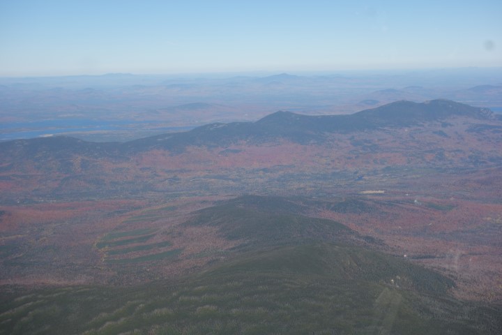
The Maine A.T. Land Trust had the pleasure of attending a review session for an upcoming book by John & Cynthia Orcutt, who have been fixtures in the High Peaks, both for their spectacular photos of the natural environment and for their work in the Kingfield area in the Schoolhouse Gallery. Funded partially with tax increment financing (TIF) funds for the Unorganized Territories of Franklin County, the purpose of the book will be to illustrate the beauty of the area and raise awareness for those who may not be familiar with the High Peaks region. The book will feature images from both the Organized and the Unorganized Territories of Franklin County through a large-format presentation of about 80 fine art nature photographs. Also, working in partnership with the Maine Chapter of the Trust for Public Land, there will be an essay discussing conservation in the region with several supporting maps. Maine U.S. Senator Angus King, has agreed to write the Preface.
As one of the goals is to support economic development, the Maine Appalachian Trail Land Trust was invited to participate from a recreational tourism standpoint. The book should be an important tool for economic development and conservation in the region.
Thanks to the Orcutts for their hard work! The book will be available for sale beginning in the summer.
Cranberry Peak Trip Report
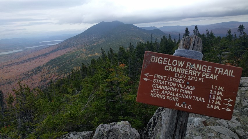
The most recent Next Century Hikes was up Cranberry Peak in the Bigelow Range. Cranberry (3,213 feet) is at the western end of the Bigelow ridge and is lower and more accessible than the higher, more rugged summits that mark the most prominent part of the range. Still – on a winter day when the temperature is hovering around 0 degrees and the winds are gusting, it feels like a much more rugged climb.
Our group set off at 10am for what we thought would be a five-hour hike. The winds were forecast to die down but as the day went on it remained breezy, especially up high on the northern side of the ridge. But the sun was out and all were in good spirits. A few of us had trouble with the hoses of our water bladders freezing up because it was so cold. We were moving at a slower pace than expected, despite only needing traction aids and not snowshoes.
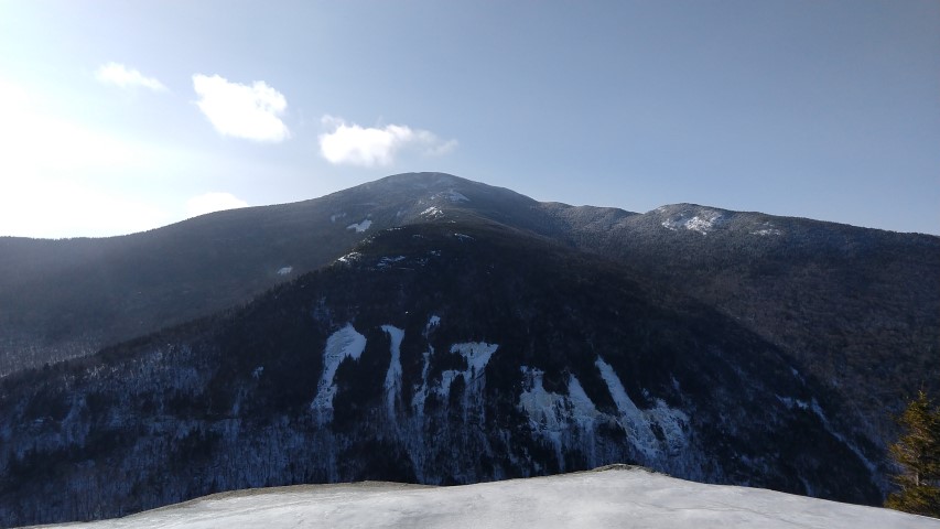
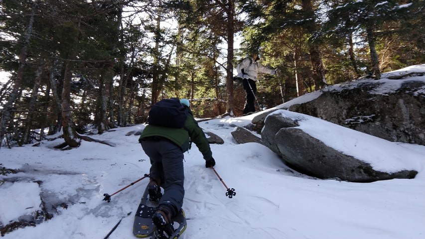
We reached the ridge and headed east to Cranberry Peak. There were views through the trees to the south – Black Nubble, Sugarloaf – and to the north – Flagstaff Lake, the western Horn. We stopped for lunch just a few tenths of a mile below the summit of Cranberry Peak. After lunch we resumed and quickly encountered very difficult conditions. The trail followed a contour line around the summit cone but it was very steep and icy due to the trail angle (see photos). Moreover, the snow at higher elevations is still very deep and we were unable to find the blue blazes that mark the trail. With more robust equipment – crampons and ice axes at a minimum – the group could have continued. As it was, with the hour getting late and the shadows bringing the temperatures down on the northerly-facing ridge, it was quickly decided that we should turn back.
Though we didn’t make it to the top, we had a great day on the trail! Check our calendar if you want to come along next time – we’ll be having a few more winter hikes with all the snow on the way!
Branding Maine High Peaks
One of the things we stress in our conservation work along the Appalachian Trail in Maine is that the A.T. is not just a trail. It’s a place where people do all kinds of things in addition to thru-hiking. People mountain bike in nearby trails, they ride ATVs, they use snowmobiles, they hunt, they fish, they ski, they geocache, they retreat into solitude, make livelihoods, they meet friends. They do even more than that. People live in communities along the A.T.; the trail is linked to those communities and they are linked to the trail. The same can be said about our conservation work – there’s no such thing as conserving a piece of land for a trail. The land is conserved for the people who use the trail in all these ways can continue to use the trail.
This idea was behind the start of the Maine Appalachian Trail Land Trust’s High Peaks Initiative. Through this program we became involved in an effort by community to brand the region as a means of economic development in Franklin County. Stakeholders include local business, chambers of commerce, tourism officials, political figures, arts groups, local non-profits and individuals who wanted to get involved. The land trust’s part in this process was, surprisingly enough, to acquire the trademark to the term “Maine High Peaks”. This is not what a land trust usually does (but it’s not unheard of). We did this because we wanted to help out a group of people who wanted to help out their community, but we also did it because we can see the connection between the Appalachian Trail and the local towns in the High Peaks. This branding exercise will aid in economic development in the region, and that will include recreational tourism. Recreational tourists will hunt and fish and mountain bike in the area, but they will also be hiking on the Appalachian Trail. And without people hiking on the A.T., there wouldn’t be an A.T.
West Baldpate Trip Report
The Maine A.T. Land Trust’s latest Next Century hike took place over President’s Day weekend and featured a hike up West Baldpate Mountain (3,680 feet). The snow depth in Bethel, the nearest measuring station, was 79 inches and there was likely more than that in Grafton Notch. We hopped out of the car, strapped on the snowshoes and headed out with temperatures in the mid-30’s.
Our group was small (four total!) and we progressed quickly since the trail up to Table Rock had been broken out the day before. The snow was wetter than is typically experienced at this time of year, and it was hard going nonetheless. Everybody warmed up rapidly and there was some idea that maybe we should have worn shorts and less layers. Despite the conditions, we made great time. After the junction with the Table Rock side trail we were pleasantly surprised to find that the Appalachian Trail to the Baldpate summits was also broken out.
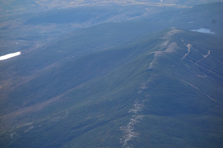
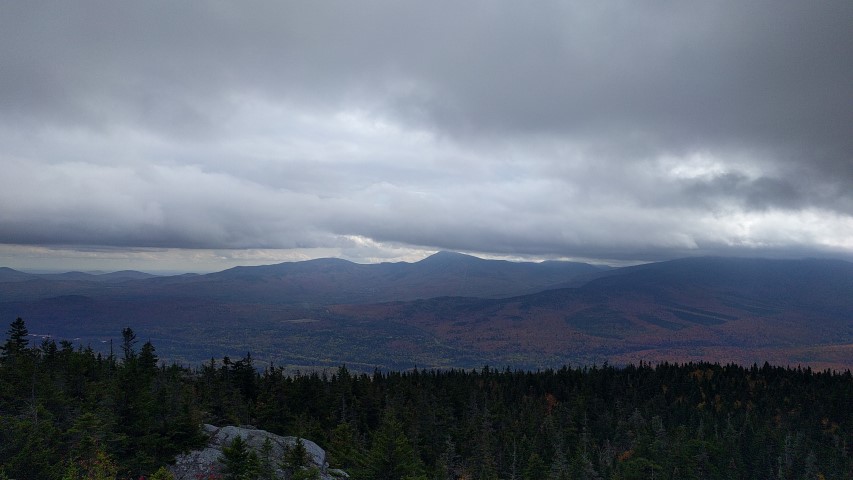
This proved to be critical as we reached the col alongside of Hedgehog Hill – here there were snowshoe trails through the open woods where a previous group struggled to find the trail since many of the white blazes (typically at eye level on trees) that mark the Appalachian Trail were buried by the deep snow. We were able to stay mostly on the trail and reach the summit in three hours. There, the warm temperatures at the lower elevations were replaced with snow showers, biting winds and bitter cold. Lunch would have to wait until we retreated from the summit. After a two hour hike down, we completed the hike in good order. It was another great day on the Appalachian Trail in Maine.
Check our calendar page for our March hikes, which will be posted shortly!
Great Maine Outdoor Weekend Four Ponds/Spruce Mountain Hike
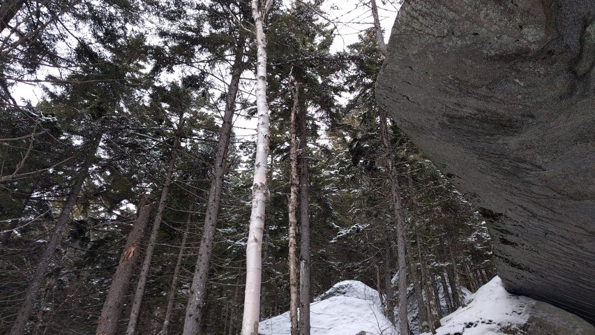
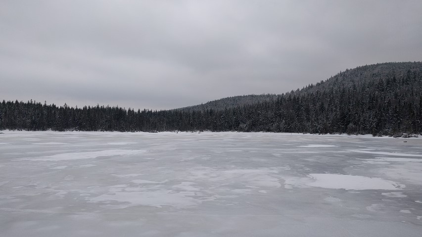
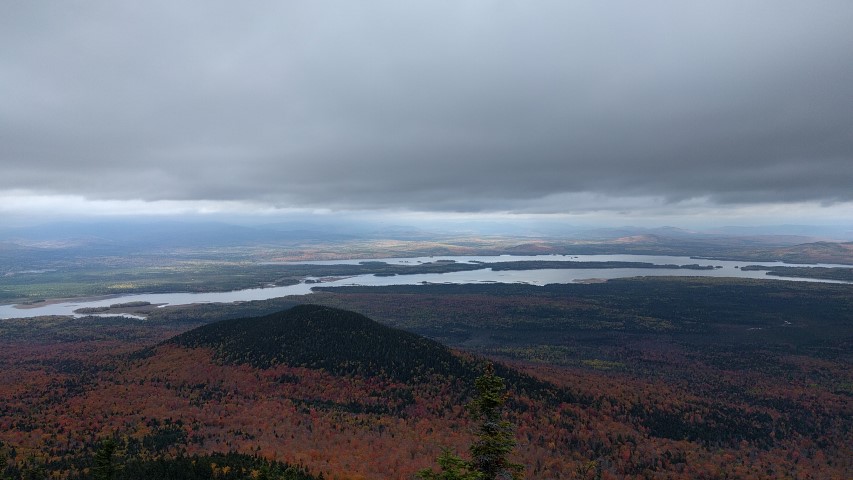
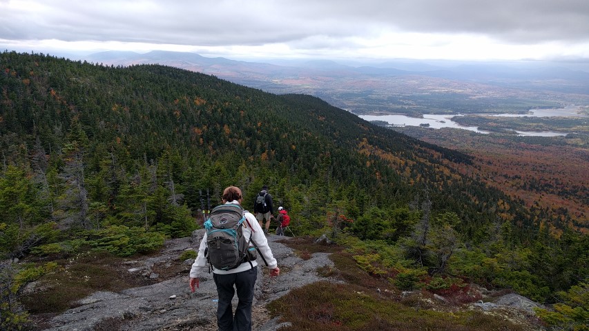
The Maine Appalachian Trail Land Trust had a great hike as part of the Great Maine Outdoor Weekend, a series of events held twice a year focused on Maine’s outdoors and connecting people to the natural wonders of Maine. The location for the hike, the State of Maine Four Ponds Public Reserve area through which the Appalachian Trail winds, was carefully chosen because it is not a heavily traveled area in the winter, the scenery is spectacular (as you can see from the photos) and the terrain is mild.
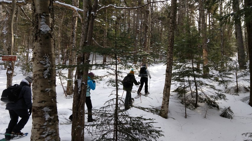
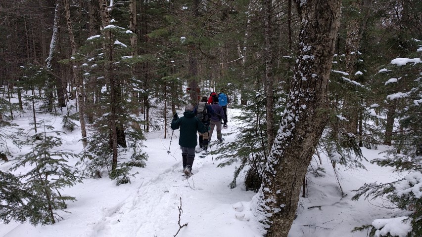
Since the Height of Land parking lot was not plowed, the group parked in a turnout up the road, and headed south along Route 17 to the A.T. crossing. Weather conditions on the road were bitter, with temperatures below 10 degrees and with gusty winds coming off Bemis Mountain and across the open expanse of Mooselookmeguntic Lake. Fortunately, once we entered the woods heading up Spruce Mountain, the winds were mitigated by the trees and everybody warmed up with the effort of the short climb. Trail conditions couldn’t have been better for a snowshoe hike – there was a packed base of about three feet of snow, covered by a foot or so of fresh powder.
The conditions made for some spectacular sights and a great experience in the Maine woods. We stopped for lunch where the A.T. winds along Four Ponds Mountain along the northern edge of Long Pond, and due to increasing winds and falling temperatures, we all decided to turn around. Everybody agreed that this made for a great experience on the way back so there were plenty of photo opportunities and time to talk.
Thank you to the Maine Outdoor Coalition and everybody who participated in the event! See you in the fall for the next GMOW!
Old Speck Trip Report
Maine A.T. Land Trust’s latest Next Century Hike was up Old Speck Mountain in the Mahoosucs. A winter favorite, Old Speck is the 5th highest mountain in Maine and arguably the easiest 4,000 footer to climb. The roundtrip distance is 7.6 miles – not too bad by Maine standards – but more importantly, the route is below treeline until you reach the cleared summit area. It’s a fairly safe winter hike if you are adequately prepared.
Three of the four attendees met at the Grafton Notch parking area promptly at 8am. The fourth and final attendee, Bob, was not technically part of the group but since he knew we were coming we invited him to come along with the Maine A.T. Land Trust group. Conditions were great upon heading out – temperatures were in the mid 30s with no wind. It was cloudy, but since two people forgot their sunglasses this was ok. Despite the nice day, the group encountered only two other hiking groups for the entire day.
As the group ascended, the snow become drier owing to the colder conditions at higher elevations, and there was more rime and now on the trees. Snowshoes were not needed since the trail was packed out. Traction aids were necessary but the trail was not as icy as it was last March for a previous land trust hike. Since the group was small we made great time and reached the summit in exactly three hours.
After a quick lunch, with much sharing, Bob headed over to Speck Pond on the unbroken trail to scout out for fishing season. Bob is an L.L. Bean guide and says that fishing for brook trout in Speck Pond is exceptional. The three remaining hikers headed down, reaching the parking lot two hours later for a total trip of five hours. They saw only the two solo hikers and, more surprisingly, a couple skinning up the trail to backcountry ski down from Speck Pond.
It was a great day out on the A.T. in Maine – if you want to join us for a hike, check out our events calendar. Next up – Four Ponds for the Great Maine Outdoor Weekend!
Caribou Mountain Trip Report
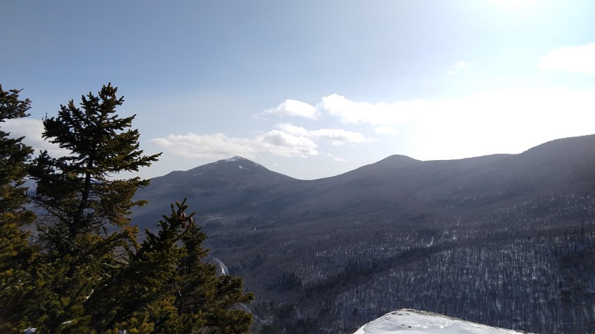
The Maine Appalachian Trail Land Trust had our first Next Century Hike of 2017, up Caribou Mountain in the Caribou Speckled Mountain Wilderness area of the White Mountain National Forest in Maine. Caribou Mountain is not on the Appalachian Trail but there are great views of much of the A.T. landscape from the Presidential Mountains of New Hampshire, all the way up to the mountains in the Rangeley area.
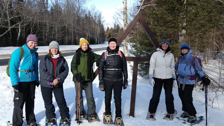
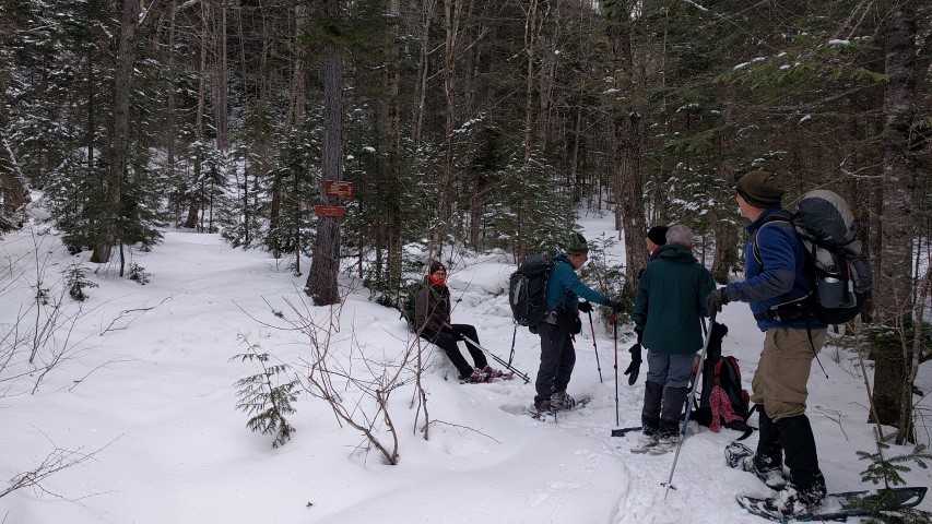
We had a total of six hikers for this trip up the Caribou Trail from West Bethel. The temperature at departure at about 9:30am was -5 F but winds were light and everybody was ready to get out on the trail. Some wore snowshoes and took them off, some kept their snowshoes on for the duration of the hike, and one hiker barebooted the entire way. The trail had been broken out when there was deep powder, but since then it had sleeted and snowed so it was packed with a crust on top. Since it was so cold, and the snow was crunching so loudly, we made good time on the way up. We did not see any other hikers and the trail down to the Evans Notch side of the mountain (on Route 113) was not broken out at the junction with the Mud Brook Trail. This was not a surprise, given that 113 is closed to vehicles in the winter.
We reached the summit at about 12:30pm and stayed for about five minutes. The wind had picked up and Louise’s jacket thermometer read 5 F (though it was probably more like 0 F). We headed back the junction and had a nice snack-oriented lunch while standing around in a circle. The trip down was largely uneventful, though with the cold and deep snow fatigue was starting to set in. Fortunately, somebody thought of the idea of stopping at the Norway Brewing Company on the way home, and everybody revived. Since the Maine Appalachian Trail Land Trust wishes to support local Maine businesses whenever possible, the four Maine-based hikers had a nice snack and beer there on the way home (thanks to Mike Morrone, land trust volunteer, for paying!). Next time we’ll get the New Hampshire hikers to come too!
Check out our calendar of events and sign up for our upcoming hikes on Maine’s AT!