Berry Pickers’ Trail Trip Report

Heading out on the ATV trail.
Following the pink flagging.
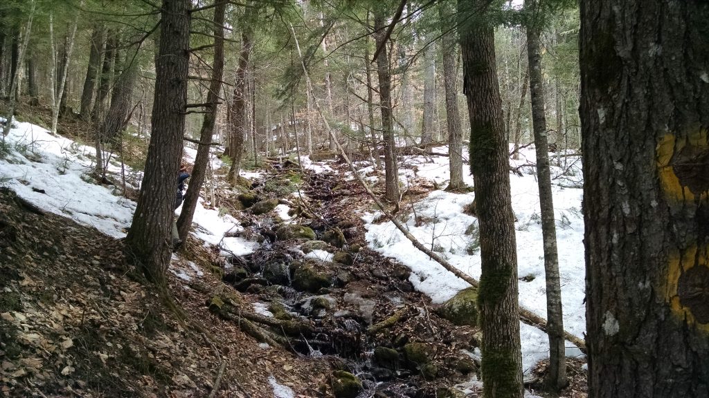
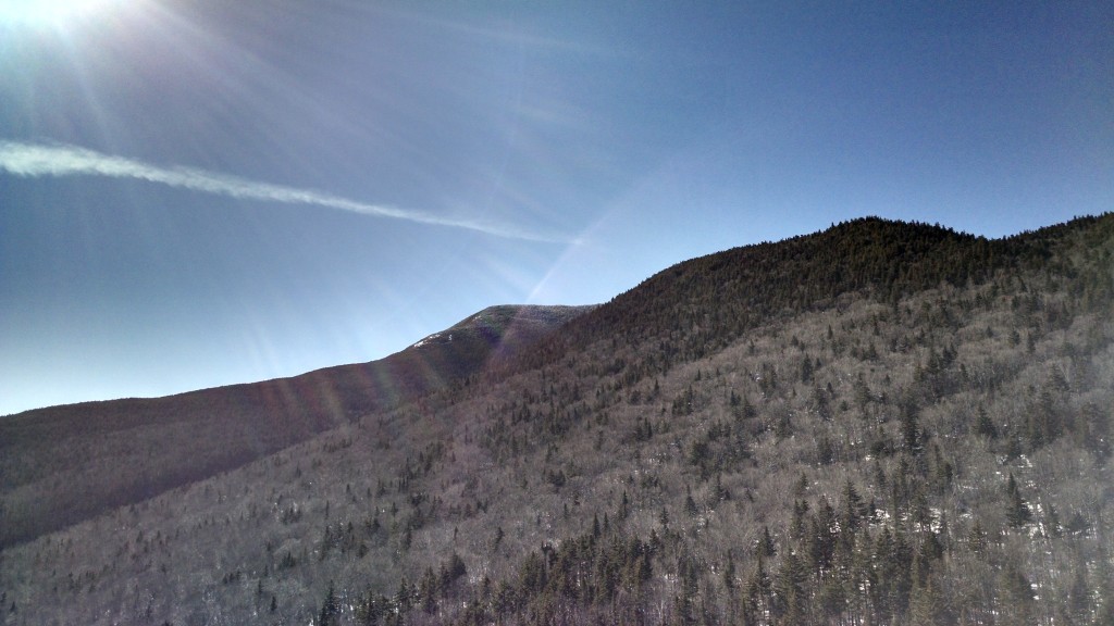
Forested flank of Saddleback Montain.
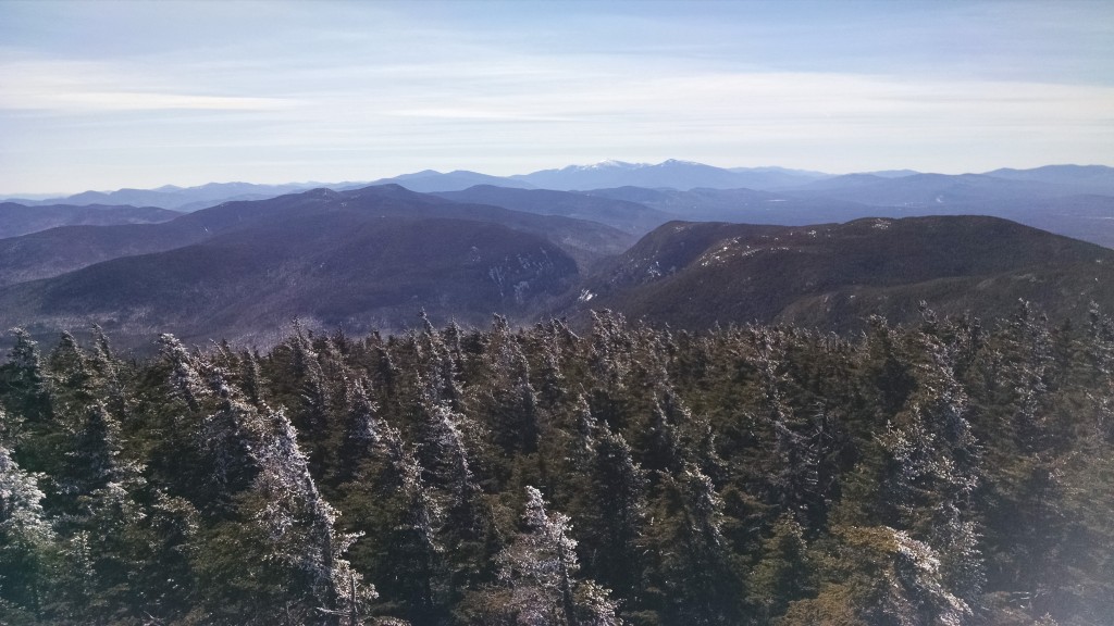
Open views on the ledges.
The Orbeton Stream valley.
The Boulder.
Saddleback Jr.
Rangeley from the A.T.
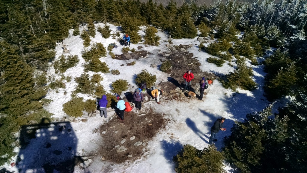
Saddleback (summit).
The Horn.
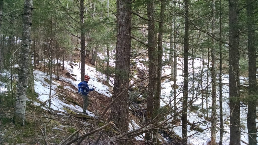
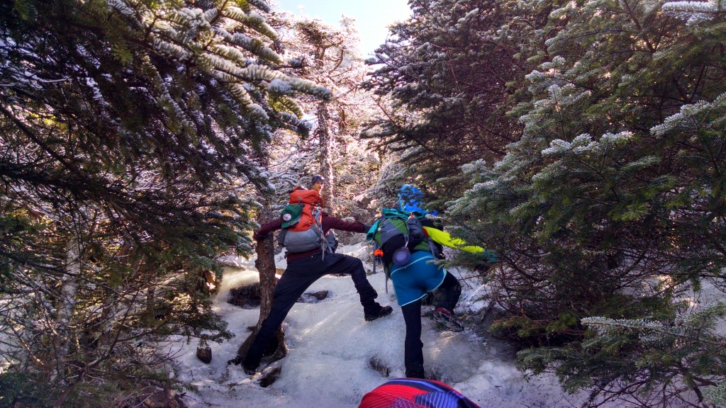
Thick spruce.
The ridgetop house in the distance.

The Maine A.T. Land Trust had its long-awaited trip up the Berry Pickers’ Trail on Saddleback Mountain for the Great Maine Outdoor Weekend, and the trip was as spectacular as we could have hoped!  After a chilly, 30 degree start, the weather was warm and sunny, and though some hikers had to drop out at the last minute, we had three in our party bushwhack up to the A.T. from the valley below.

Berry Pickers' Trail
Berry Pickers’ Trail, with Saddleback Ski Area on the west side.

The Berry Pickers’ Trail was the long-time route from the town of Madrid up to Saddleback Mountain.  When it opens next spring, the trail will connect the Fly Rod Crosby Trail to the A.T.  There is vehicular access to the trailhead via logging roads.

We set off at 8:30am, heading up an ATV trail which gradually intersects with and becomes co-terminus with the Fly Rod Crosby Trail.  From there the Berry Pickers’ Trail heads north into the woods up the slope of Saddleback Mountain and into conservation land owned by Maine Appalachian Trail Land Trust.  The trail was flagged by Maine Appalachian Trail Club’s Dave Field and he has done an excellent job of finding a path through some thick terrain.  Thanks Dave!

The trail soon reaches the open area of the ridge and proceeds gradually to the A.T. corridor between Saddleback and The Horn.  Saddleback Jr. can be seen to the northeast.  One of our hikers, Eben, is the descendant of a local Madrid family which once owed nearly all of the land in the Orbeton valley (see photo in the slideshow).  Eben helped us deal with the many scratches and tumbles as we bushwhacked by imparting his knowledge about the landscape, which was extensive.  His family is still involved in conservation efforts in the area, and though many members of the family live in other parts of the country, they maintain close connections with the land and community.

The group made it back safely in the late afternoon, with only half of the first aid kit depleted of supplies needed to cover the scratches, bruises and tweaked ankles.

Be sure to join us for next month’s hike along the Appalachian Trail in Maine!

Great Maine Outdoor Weekend Saddleback Berry Pickers’ Expedition

Berry Pickers' Trail
Berry Pickers’ Trail

At long last, the Maine Appalachian Trail Land Trust will be having a hike up to the ridge of Saddleback Mountain along the route of the Berry Pickers’ Trail on Sunday, September 27th.  This trail has yet to open to the public, but the land trust has received special permission to lead a group along the route of the trail for the Great Maine Outdoor Weekend!  This route is the traditional trail inhabitants of the valley between Saddleback and Mount Abraham would take to pick berries above the town of Madrid.  It will be formally opened as an official Appalachian Trail side trail next year.

The trailhead is located on the Orbeton Stream easement and follows logging roads for approximately 1.5 miles before ascending a ridge through about 0.7 miles of thick spruce forest on land trust property.  The remaining mile plus of the trail ascends the long flank shown in the photo above, until reaching the Appalachian Trail on the ridge between the summits of Saddleback Mountain and The Horn.  TBD which summit we choose to ascend.

This hike will be a bushwhack, meaning that we will not be following a maintained trail.  However, this is an old, well-traveled route, which has recently been flagged, and for those who know the way it is a great hike.  Please be advised that there will be some challenging terrain, particularly in the areas where the trail winds through heavily-forested areas.  Nonetheless, if you are an experienced hiker this should be a nice adventure!

To sign up, please RSVP to info@matlt.org, through our social media pages, or by calling 207-808-2073.  We will only be taking 5-10 hikers for this trip so don’t wait!


Rangeley Trail Town Festival 2015

Ice cream eating contest.
Concert! Erica Brown and Matt Shipman who were awesome.
Games!

The annual Rangeley Trail Town Festival was held over Labor Day weekend and it was a great event.  The weather was perfect and the crowds just kept coming.  There were vendors and exhibitors from Maine Appalachian Trail Club, High Peaks Alliance, Appalachian Trail Conservancy and many more!  The Rolling Fatties food truck provided nourishment for all, and the ice cream eating contest gave some thru-hikers a welcome boost of energy.

Thanks to Linda Dexter from Ecopelagicon for organizing this event.

White Cap Mountain Trip Report

View from the summit of White Cap Mountain, west towards West Peak and Gulf Hagas Mountain.
View from the summit of White Cap Mountain, west towards West Peak and Gulf Hagas Mountain.  The Baker Mountain massif is in the background.

Maine A.T. Land Trust Vice President Pete McKinley and Executive Director Simon Rucker headed up to the White Cap Mountain range recently as part of the due diligence process for the land trust’s role in the Gulf Hagas-Whitecap project.  The Appalachian Trail was routed over White Cap Mountain (3,654 feet) in the 1930’s by Walter D. Greene, a Broadway actor, Maine Guide and early proponent of the Appalachian Trail.  McKinley and Rucker took the White Brook Trail, an official A.T. side trail, which can be accessed via the Katahdin Iron Works Road from Brownville Junction.  This is very rugged territory and this trail is in need of a Maintainer, but it is a spectacular hike.

White Cap parcel and GPS track of the White Brook Trail.

Maine Appalachian Trail Land Trust will likely be holding a property interest bordering on the A.T. corridor just to the south of the White Cap range (the mountain is known in different sources as either “White Cap” or “Whitecap” but the former is more common).  This area would encompass Big Spruce, Little Spruce, Big Shanty and Little Shanty Mountains.  All four peaks are at or near 3,000 feet in elevation.

Big Spruce and Little Spruce Mountains.

This area has been logged in the past, but most of it is too rugged and inaccessible and has an unspoiled quality.  The land would make a wonderful addition to the A.T. corridor south of White Cap Mountain, and the greater Gulf Hagas-Whitecap project will protect some fourteen miles of the A.T.

Check our website for more updates on this project.


Puzzle Mountain Trip Report

Grafton Notch
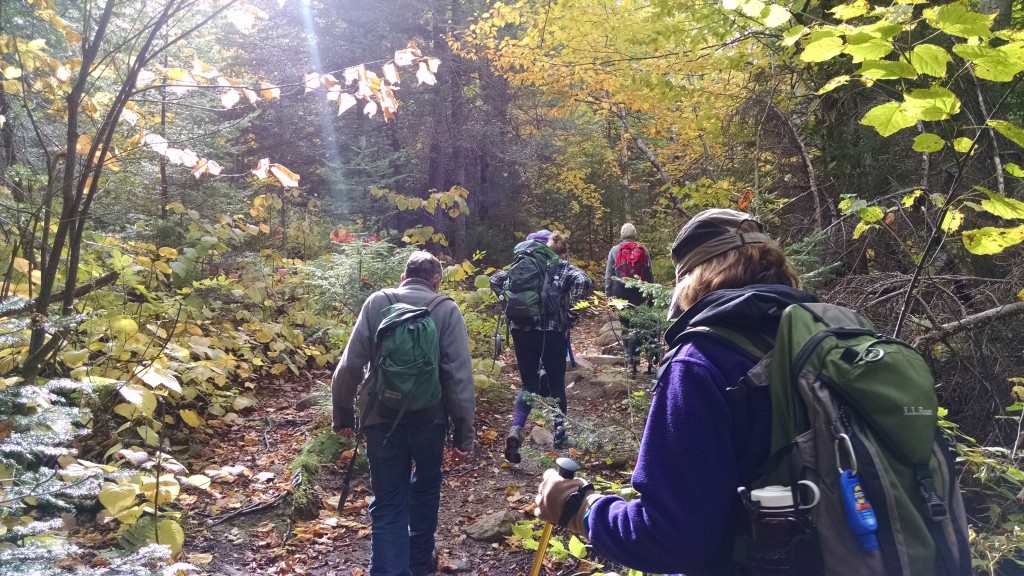
Heading up.
Warm and sunny day.
Great group!
Looking west towards the Presidential Range.
Old Speck

We had a great hike this past Saturday up to Puzzle Mountain with a group of ten hikers total.  Puzzle is a great little mountain topping out at just over 3,000 feet.  There are three peaks which from the air form a triangle.

puzzleOur goal was the first peak.  There is a relatively new loop near the top of the mountain called the Woodsum Loop, but since taking this route would add almost two miles to our hike, we decided to opt for the west peak of Puzzle.

The weather was forecast to be warm and sunny, and in fact it turned out to be even warmer and more humid than expected.  While the terrain is mostly moderate with a few steep sections, it was slow going in the heat.  The trail winds through hardwood forests until reaching the 500-acre Stewart Family Preserve which surrounds the mountain.  On top of the mountain we all ate lunch, checked out the view and attempted to identify distant peaks and lakes with binoculars.  There were plenty of blueberries to pick and all of them were tasty and ripe.  Shyla the dog had a less-than-amicable encounter with another black labrador retriever, her first of two encounters with an identical looking dog on the hike.

On the hike down, a minimum of the hike attendees asked trip leader Simon Rucker how much further it was to get back to the trailhead parking lot, which usually happens.  The group had plenty to talk about and the weather cooled down enough to make the return trip speedy.

If you want to join us for one of our monthly (and occasionally more frequent) hikes, check our website or social media pages.

Maine A.T. Land Trust Goes to the Ballpark

sea dogs
Land Trust Executive Director Simon Rucker, in Sea Dogs hat and land trust shirt.

Maine Appalachian Trail Land Trust was recently able to attend a Portland Sea Dogs game, courtesy of U.S. Cellular.  It was a hot day but the ballpark was packed.  There was a hat raffle (one per inning!) and lots of people stopped by our table to check out our map, take a brochure or ask questions about the Appalachian Trail.

Hot day at Hadlock!  Too bad the Sea Dogs lost...
Hot day at Hadlock! Too bad the Sea Dogs lost…

We had somebody from the Maine Conservation Corps stop by (thanks for your hard work guys!) and one of the girls who went missing in Gulf Hagas just the day before stopped by to tell us about her experience.  She did all the things you are supposed to do when you get lost in the Maine woods.

Hat raffle winner!
Hat raffle winner!

Thanks to everybody who stopped by our table.  And thanks to the Portland Sea Dogs for having us!


Davis Conservation Foundation Awards $12,000 to Maine Appalachian Trail Land Trust

Portland, ME (August 7, 2015) – The Davis Conservation Foundation has awarded a grant of $12,000 to the Maine Appalachian Trail Land Trust to support our work on the Redington Forest project.  The funds will allow the land trust to protect land along Maine’s Appalachian Trail via the acquisition of a conservation easement over the project area.  These much-needed funds will help defray the costs involved in the easement acquisition process – legal work, GIS needs, personnel, stewardship and other associated expenses.  Much of this work has already started and progress can be tracked by following the news updates on the land trust website at matlt.org.

This grant allows Maine Appalachian Trail Land Trust to focus on the work needed to complete the project, but it also serves as a catalyst grant for other donors, ensuring that the additional funds needed for Redington Forest can be secured.

Thanks to the generosity of the Davis Conservation Foundation, Maine Appalachian Trail Land Trust expects to conserve this valuable land along the A.T. by early 2016.


Goose Eye Mountain Trip Report

Starting out, 8:45am.
The now-closed north section of the Wright Trail.
Panorama looking to the south and west.
The summit ahead.
Alpine areas.
The Appalachian Trail heading north to Mahoosuc Notch.
Goose Eye Mountain, East Peak
Heading to the East Peak.
Fog over the Mahoosucs.
Weather coming in.
Heading down.
Taking a credit card donation on the knoll below the summit!

Maine A.T. Land Trust Executive Director Simon Rucker headed out on a Saturday morning with a hardy group of three to tackle Goose Eye Mountain via the Wright Trail, an official Appalachian Trail side trail.  The weather was cool-ish and mostly cloudy with a few sunny breaks and a slight chance of showers.  One member of the group had previously hiked the Wright Trail and had slipped on a wet rock in Goose Eye Brook – she was looking to replace that experience with a better one and I’m pretty sure she succeeded!

After reaching the campsite where the former north branch of the Wright Trail used to head off, the group proceeded over steep terrain on what was fortunately a well-maintained trail, thanks to Maine Appalachian Trail Club.  Eventually they reached treeline and for the next mile headed west along the ridge.  Goose Eye is a large mountain with three peaks and several knobs which are more or less peaks in their own right.  The group reached a knob just below the East Peak (3,762 feet) before the junction with the Appalachian Trail and decided to head back.  There was some weather coming in from the west and the group had a long hike back to the trailhead.

And boy did it seem long!  Fortunately the company was good and the weather held until we got back to the car.  Thanks to Debi, Deborah and Linda for a great outing!

Goose Eye Mountain Hike

Photo: Maine Bureau of Parks and Lands

Our latest Appalachian Trail hike will be up 3,862-foot Goose Eye Mountain in Grafton Notch on July 25th at 9am!  For many years this mountain was only accessible for a day hike by heading over to New Hampshire at Success Pond Road.  The Wright Trail, an official Appalachian Trail side trail, was constructed to provide for a direct route to the heart of the Mahoosucs, in particular the State of Maine designated-Ecological Reserve area which covers most of Goose Eye Mountain.  The mountain has three summits and this trail traverses unique and spectacular terrain, including a large alpine bog.

The hike is strenuous and will cover a distance of approximate 9.6 miles.  The trailhead is easily accessible via Sunday River Road off Route 2, just north of Bethel.  Take a left onto Sunday River Road at the Sunday River Brewing Company, and then bear right at the next fork to stay on Sunday River Road.  At the next fork stay right again at the sign that says Covered Bridge, which will be on the left as you drive over the Sunday River.  In three miles the road turns to dirt.  After about four miles, you will see two causeway bridges at a fork – take the left over those bridges, and immediately after crossing take a right onto Bull Branch Road.  You will pass Frenchman’s Hole, a swimming area with a cliff to jump into a deep, cold pool of water (maybe after the hike…).  There is parking here, but continue straight and you will reach the trailhead for the Wright Trail at the next parking area on the left on the side of the road.  Hope to see you there!

In order to account for changes in start time or weather situations, you must RSVP for this hike by emailing us at info@matlt.org or by calling 207-808-2073.  You can also contact us via Facebook or Twitter at the footer of our website.

Some helpful links:

Maine Trail Finder – Wright Trail

Mahoosuc Public Reserve Land (with map)

Google Maps Route from Route 2 (approximate!)