Milt Wright, one of the founding board members of the Maine Appalachian Trail Land Trust and its board secretary for many years, recently passed away. Milt was born in Orrington and grew up in the Bangor area before joining the U.S. Army and heading overseas to Korea. When he returned, he taught in Maine high schools and worked for the Maine Teachers Association including as Executive Director.
Like so many who have worked to create and maintain the Appalachian Trail in Maine, Milt was a consummate volunteer at all levels. He served in many roles with the Maine Appalachian Trail Club (including as President), was a mainetainer and was instrumental in the creation of the Grafton Loop Trail. He was very active in his home town of Readfield in conservation, trails, town government and historic preservation – so much so that the town honored him with a Spirit of America award.
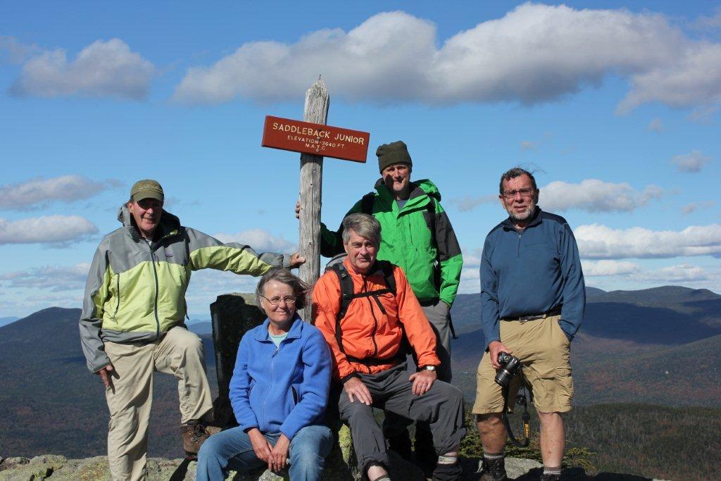
Milt hiked Katahdin every year for 58 years in a row – a feat unlikely to be matched again! But this accomplishment should not overshadow the tireless work he put in to build and sustain so many organizations in Maine:
Maine Appalachian Trail Land Trust
Maine Appalachian Trail Club
Friends of Baxter
Kennebec Land Trust
Town of Readfield
Maine Teachers Association
Volunteers who are committed to one organization or cause are wonderful; volunteers like Milt who devote decades to several and through tireless work advance the work of all of them are truly remarkable. Milt will be sorely missed by this organization and by the many people who he positively impacted during his rich life.