About the Community Hikes Program

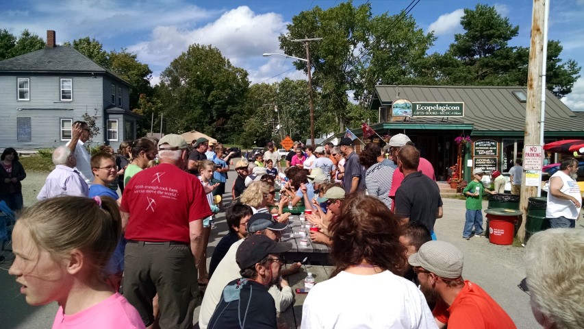
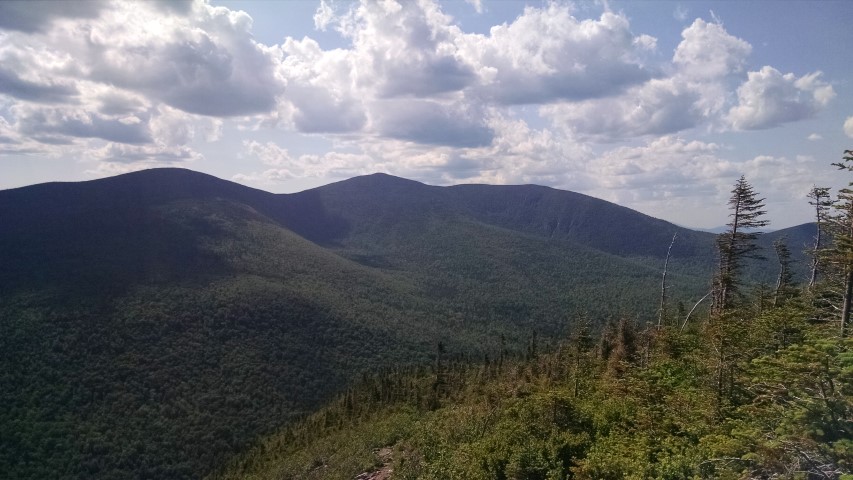
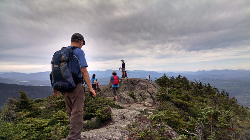
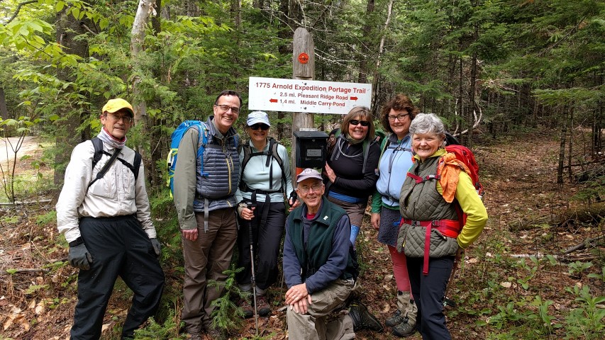
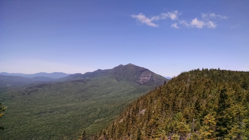
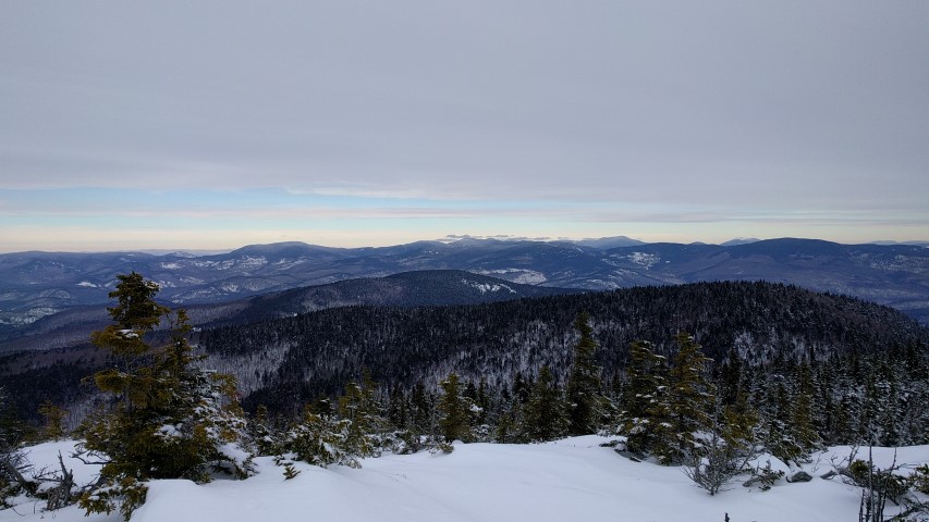
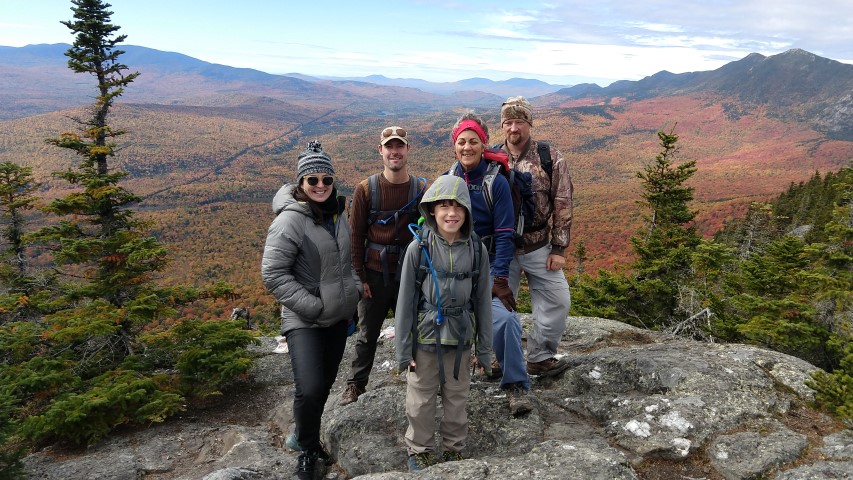
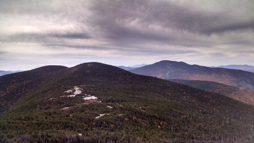
The Maine A.T. Land Trust’s Community Hikes program provides free guided hiking trips to the general public from May to October and then from January to March. There are typically two to three hikes per month (depending on weather) and trips are guided by trained trip leaders. The program has been enormously successful at bringing individuals to the A.T. landscape but they can fill up quickly! The limit for participants is usually 5-8 individuals. If a hike you would like to attend is currently filled up, please email us at info@matlt.org to get on the waiting list. Summer hikes will be listed in May, winter hikes will be listed in December, so check back if you don’t see any!


Fall 2024 Update

We typically have 3-4 hikes in the fall season but due to some trip leader travel and downtime, we will probably be offering fewer this fall. But please continue to check back and sign up for the MATLT newsletter to make sure you know when new hikes are posted!
Maine Appalachian Trail Land Trust

  1. Events
  2. Organizers
  3. Maine Appalachian Trail Land Trust
Events from this organizer
Today

Cranberry Peak

Curry Road Curry Road, Stratton, Maine

Our upcoming hike will be up Cranberry Peak (3,214 feet) in the Bigelow Range via the Bigelow Range Trail.  We will meet in the trailhead parking area at the end of Currie Street (sometimes spelled “Curry”) in Stratton at 9am on Saturday, March 17th.  This will be an up-and-back hike up the Bigelow Range Trail, with …

Free

Old Speck Hike

Let's try this one last time! The latest Maine Appalachian Trail Land Trust community hike will be up Old Speck in Grafton Notch!  This challenging yet awesome hike will run via the Appalachian Trail for a total roundtrip hike of 7.6 miles.  The summit elevation is 4,170 feet – the fifth highest summit in Maine …

Free

National Trails Day Hike – Puzzle Mountain

Our first community hike trip of the 2018 warm season will be up Puzzle Mountain on June 2nd for National Trails Day!  We will meet at 9:30am at the trailhead (shown on the map below) which is at the Grafton Loop parking lot.  The distance from the parking area to the summit is 3.6 miles …

Free

East and West Baldpates Hike

Our next community hike will be up East and West Baldpate on June 9th.  These two peaks mark the east side of Grafton Notch State Park, with the East Peak being higher (3,882 feet).  We will go for both peaks from the Grafton Notch parking lot on Route 26.  Total round trip distance will be 7.6 …

Free

Mt. Abraham Hike with NRCM

We're climbing Mt. Abraham with NRCM Rising!!!  Sign up through their website here.

Old Speck

The latest community hike will be up Old Speck in Grafton Notch!  This challenging yet awesome hike will run via the Appalachian Trail for a total roundtrip hike of 7.6 miles.  The summit elevation is 4,170 feet – the fifth highest summit in Maine and the highest in the Mahoosucs/Grafton Notch area. The date of …

Free

Gulf Hagas

Our next group hike will be Saturday July 14th to Gulf Hagas - often referred to as the Grand Canyon of the East! The 8-9 mile loop hike via the Rim Trail includes a section of the Appalachian Trail before starting on the Gulf Hagas trails. This is a geologically fascinating area, rich in flora …

Free

Caribou Mountain

Our next community hike will be on Saturday, July 21st at 10am.  We will be heading up Caribou Mountain in the White Mountain National Forest.  While the mountain is not directly on the Appalachian Trail it is on Forest Service land (like much of the A.T. landscape to the south) and there are great views of …

Free

Sugarloaf Mountain

Caribou Pond Road Caribou Pond Road, Carrabassett Valley , ME, United States

Cancelled!

Free

Bigelows/West Peak

The forthcoming land trust community hike will be up the Bigelow Range to Avery Peak via the Fire Warden’s Trail on August 5th.  This is the quickest route from the south to the highest point in the Bigelow Range.  The total distance is 10 miles (five up and five back) and this is a strenuous …

Free