By Deborah Carroll
In spite of warnings from friends and family regarding forecasted cold temperatures, a decision was made to move forward with our hike up Caribou Mountain the day prior to our trip. The understanding however, was that if the weather did in fact prove to be too cold, even a mile into hike, the group would turn back.
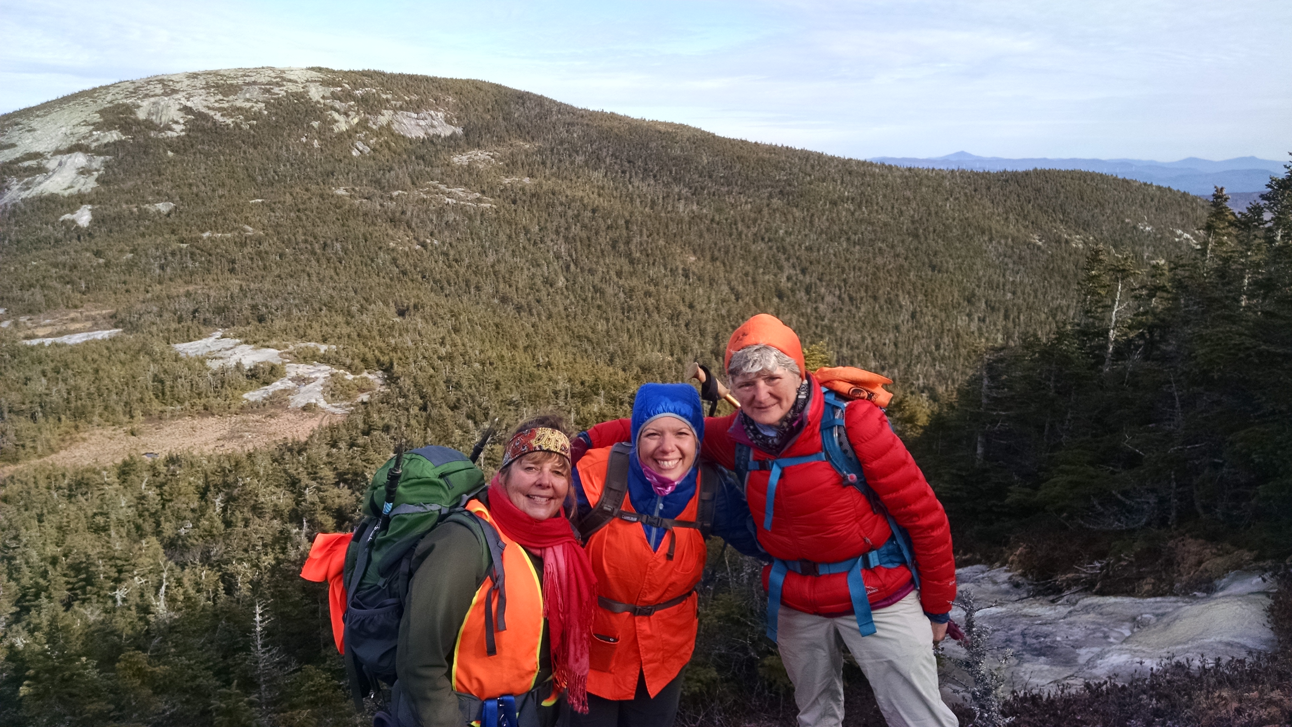
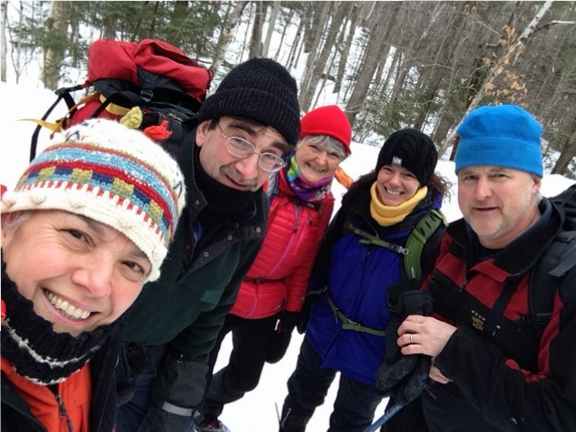
Dressed in multiple layers of our favorite hiking duds, our happy herd of hearty hikers met at the trailhead at 9:00 in the morning on Saturday, February 13. Though the temperatures were indeed hovering in single digits, the sun was shining, spirits were high, and we were all well equipped for a day of wandering in snowy woods.
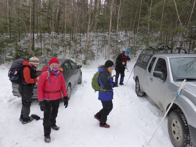
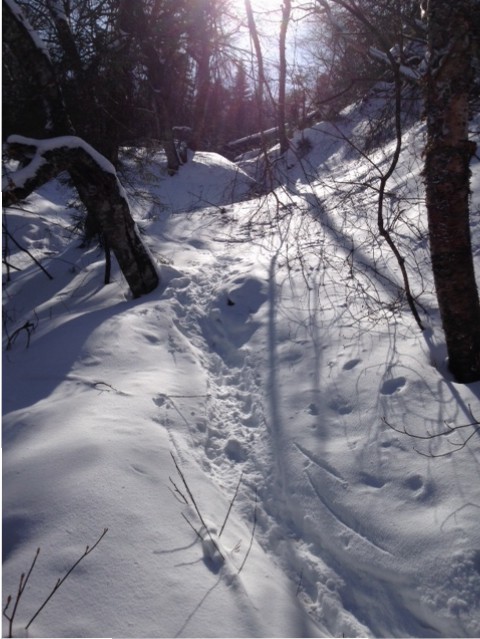
Given the lack of significant snowfall, decisions were made to leave the snowshoes in the car and make the trek using just microspikes. A decision that, except for a few very short sections where blowing snow had filled in previously shallow or packed areas of the trail, proved good.
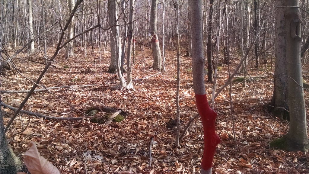
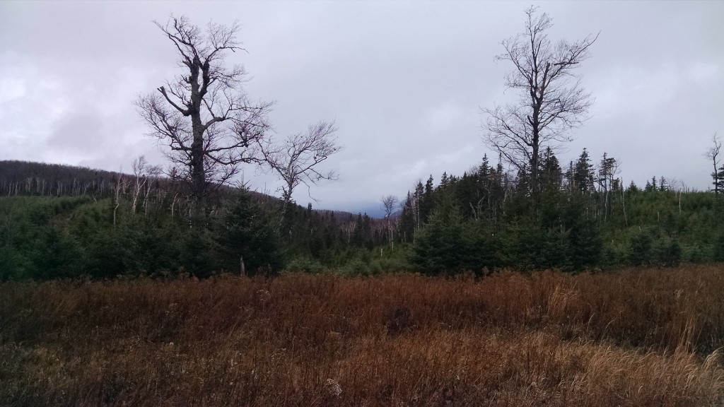
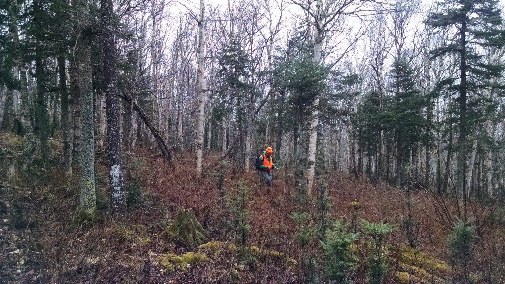
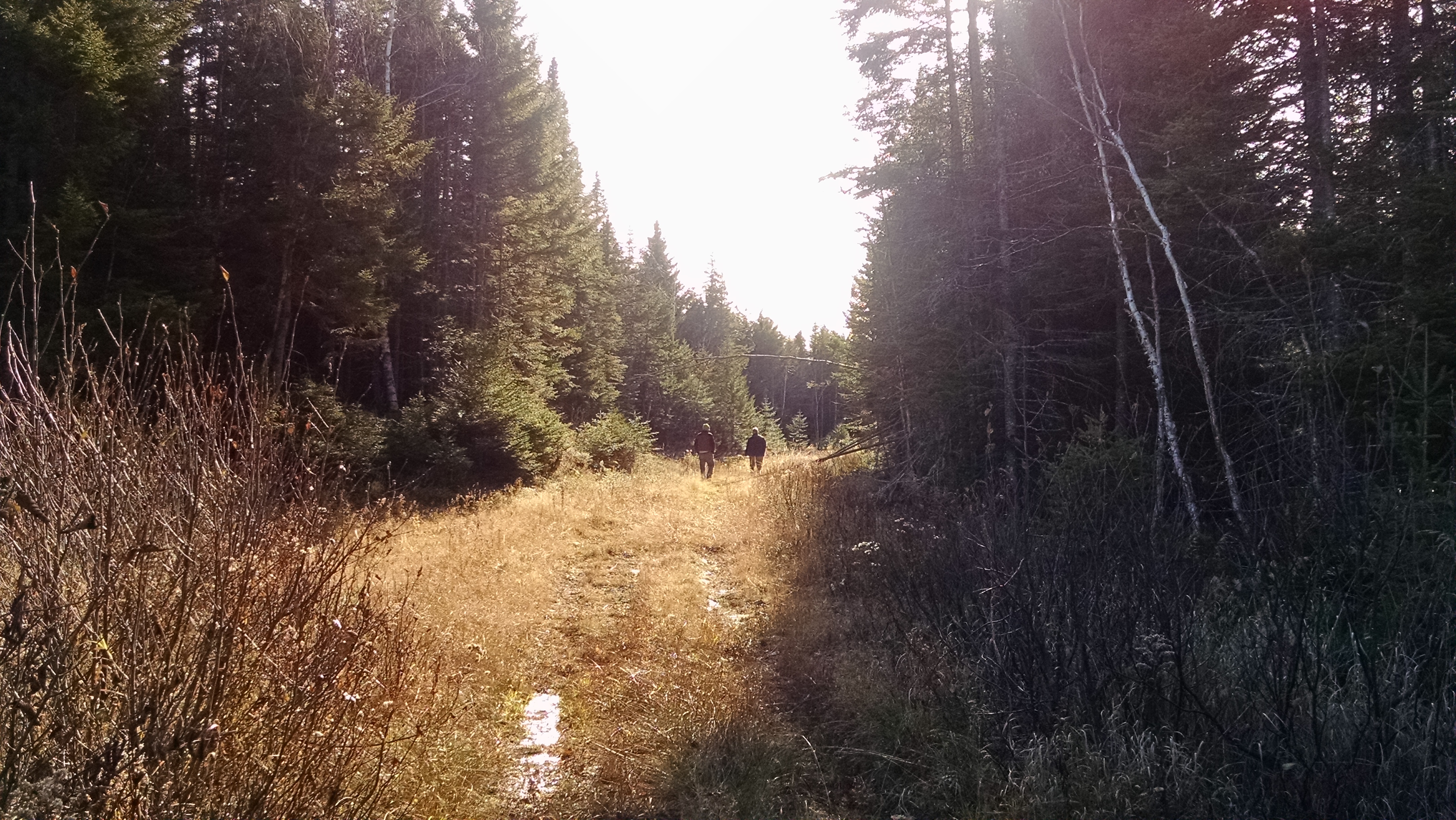
Unlike a previous hike, we were able to park at the gate located about a half mile up the road past Pooh Corner Farm. Our hike began with a relatively flat and short walk along a forest service road before the trail veered to the right and into a forest of mixed evergreen and birch, and our group fell quickly into a really nice pace.
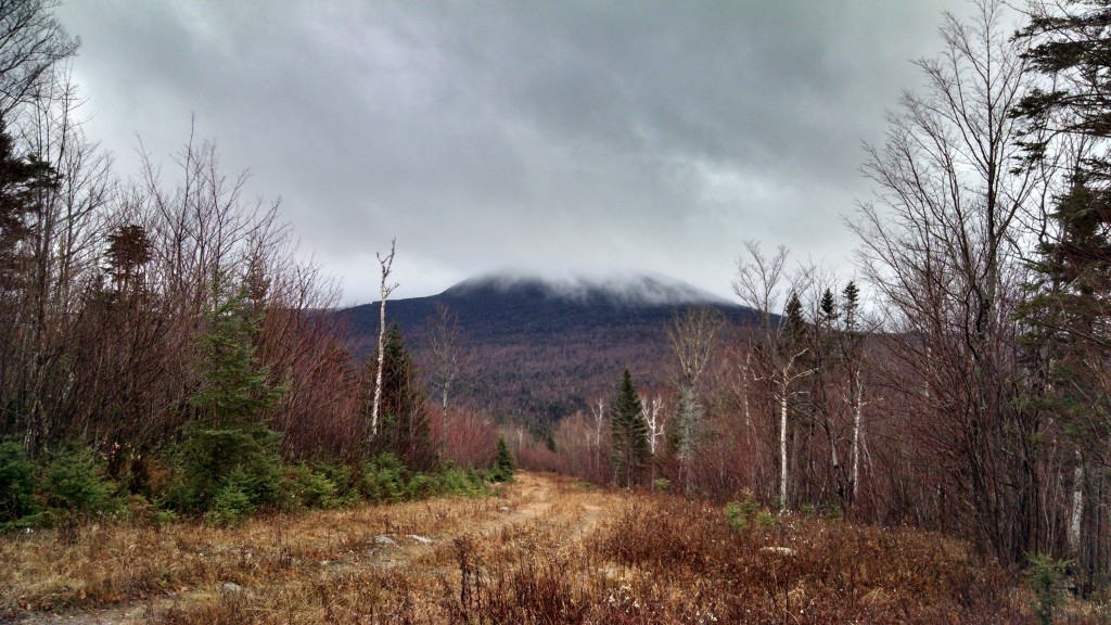
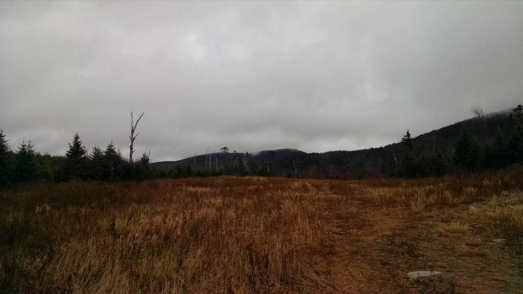
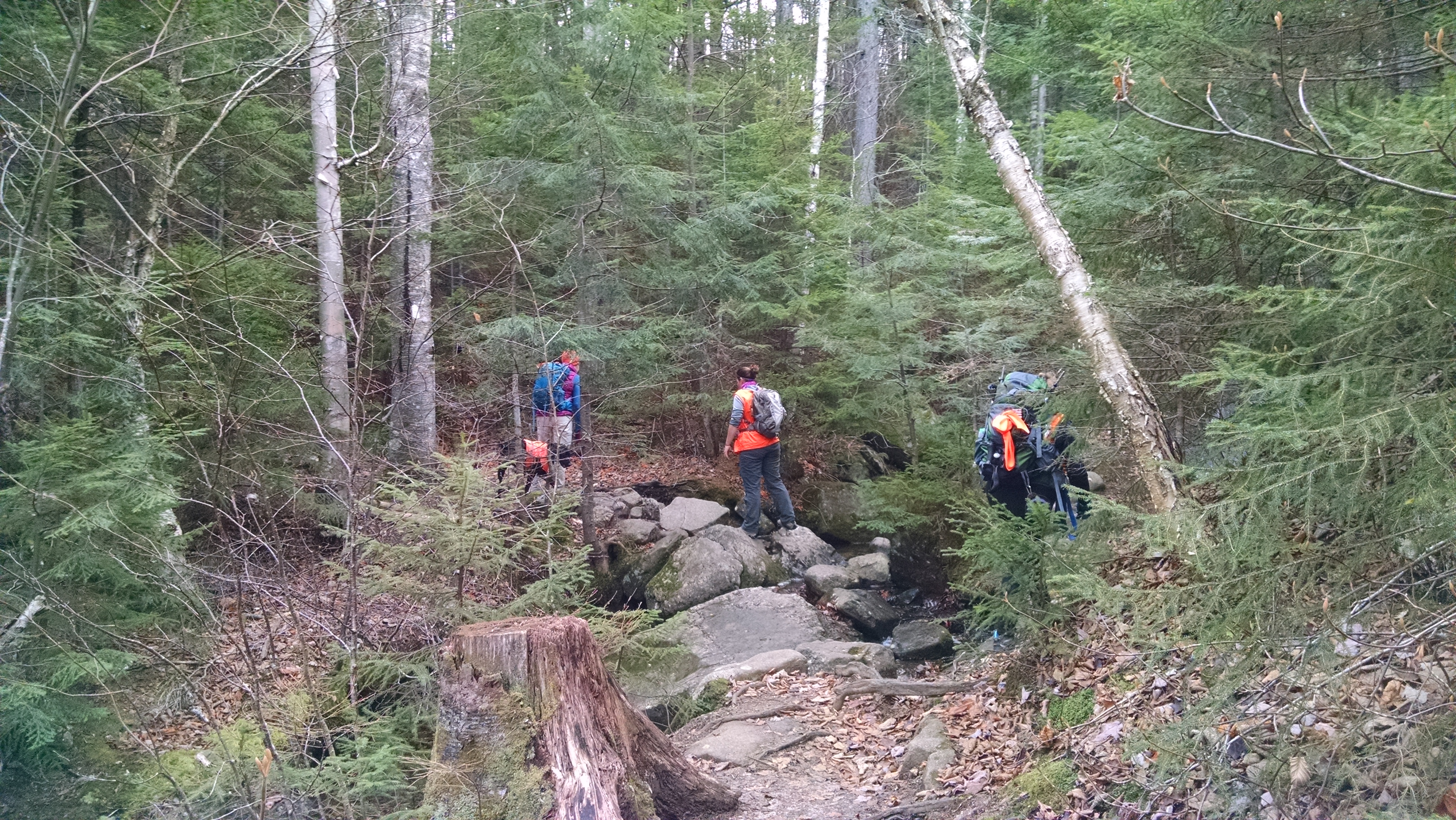
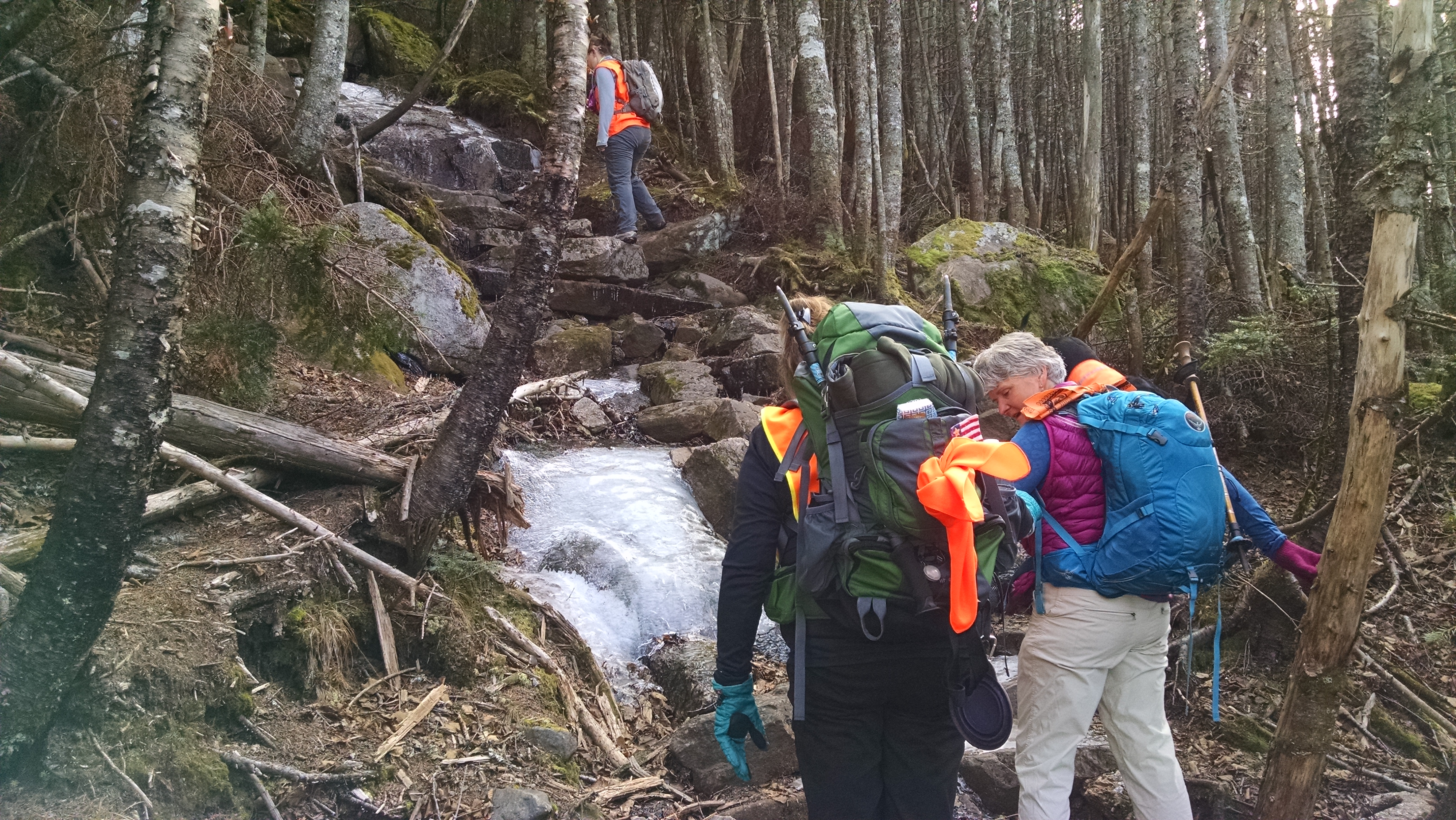
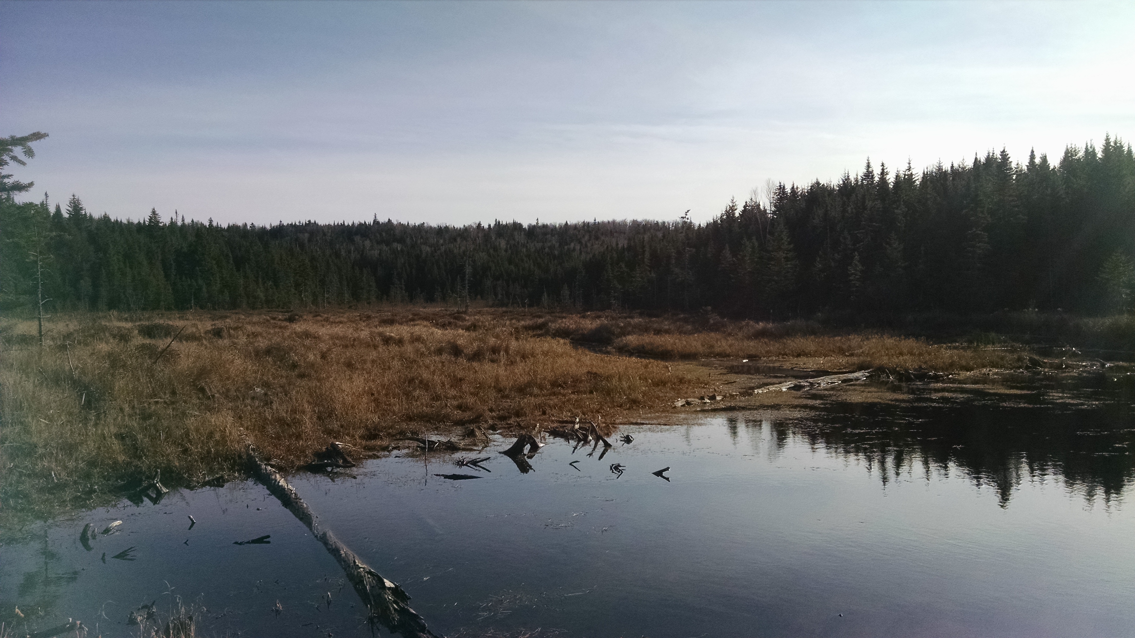
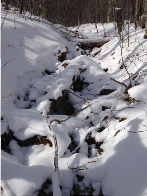
After a mile or so of multiple, mostly frozen, stream crossings, and a few brief pauses to layer down, we began a mostly gradual ascent which took us to the “Caribou Speckled Mtn. Wilderness, WMNF” sign and, a little further on, to a trail junction in the Caribou-Gammon col where the trail turns sharply left and the final push to the summit begins.
Though the temperatures continued to hover in single digits, as per the thermometer dangling from one pack, the sun and lack of wind (combined with exertion and being well prepared) made for warm wanderings. Still, we paused a few hundred yards from the summit to put on warmer layers.
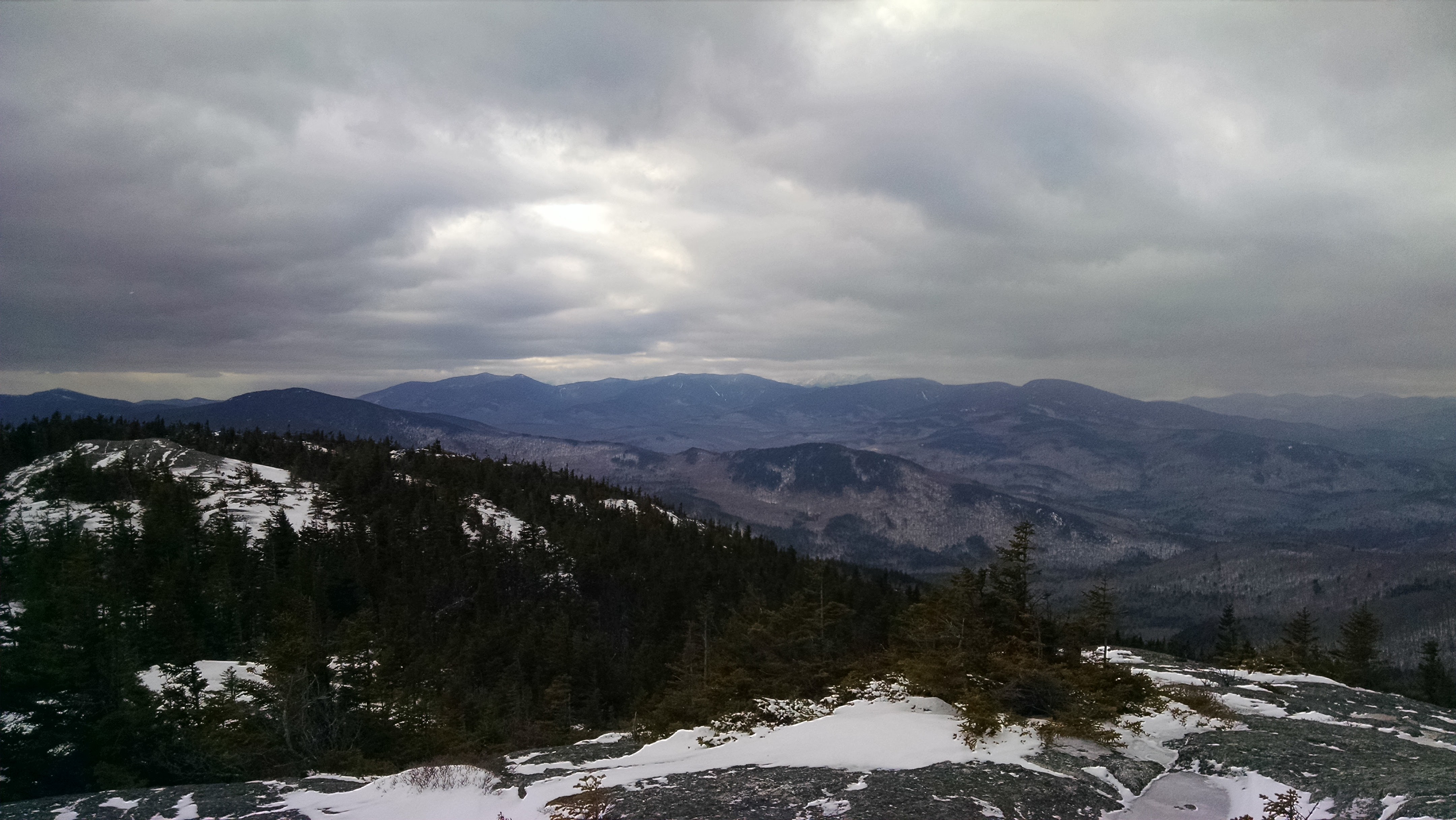
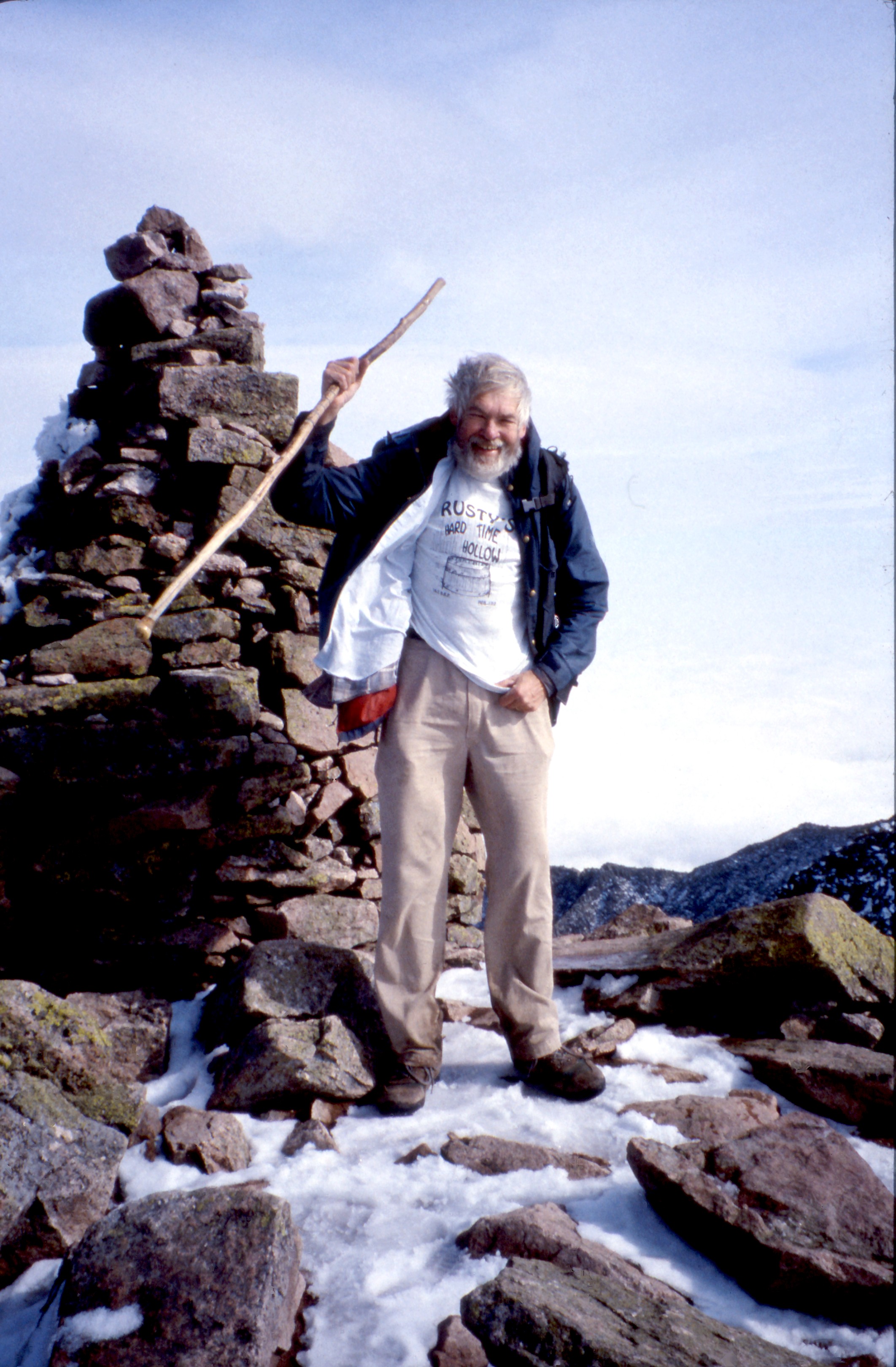
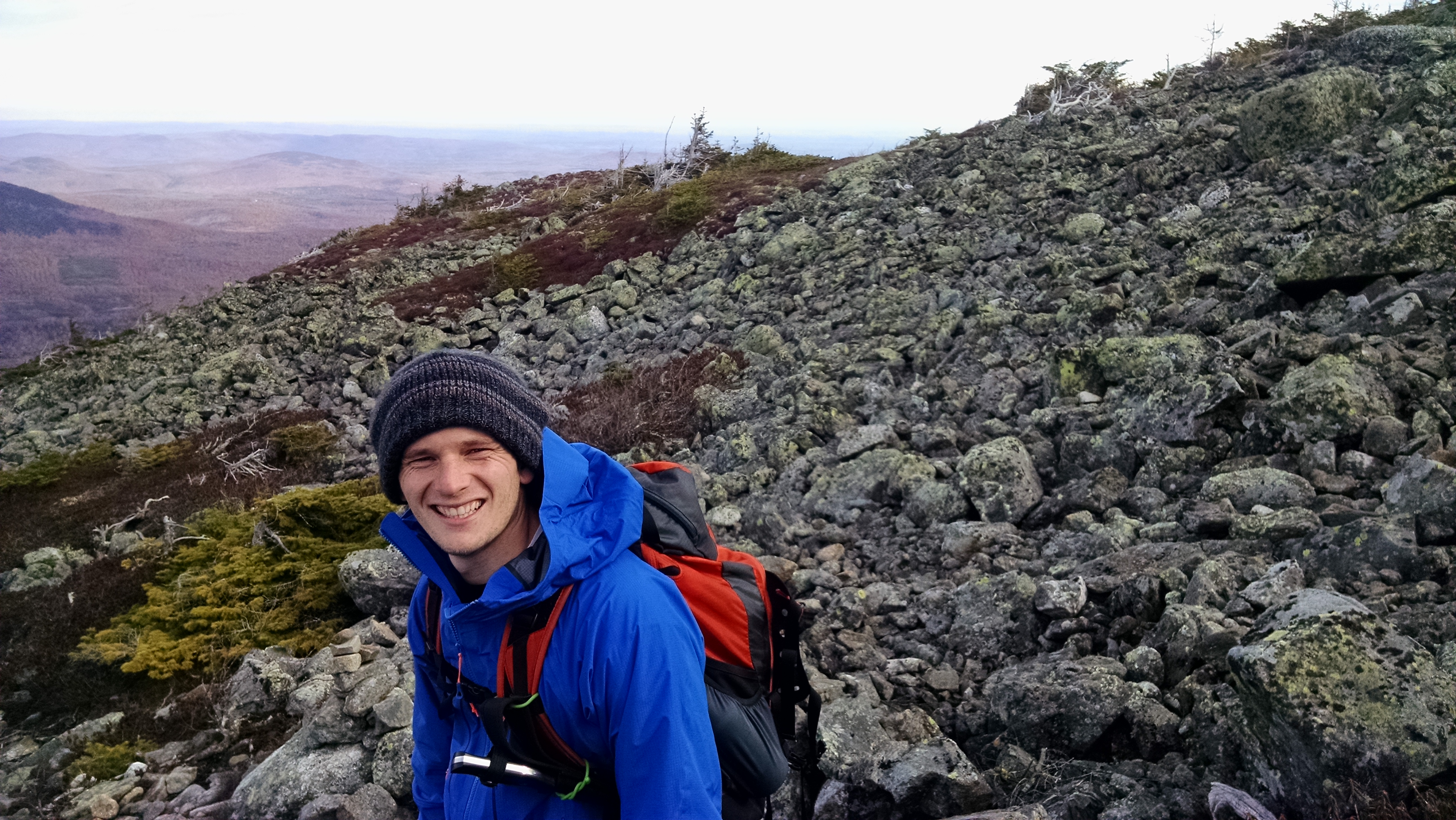
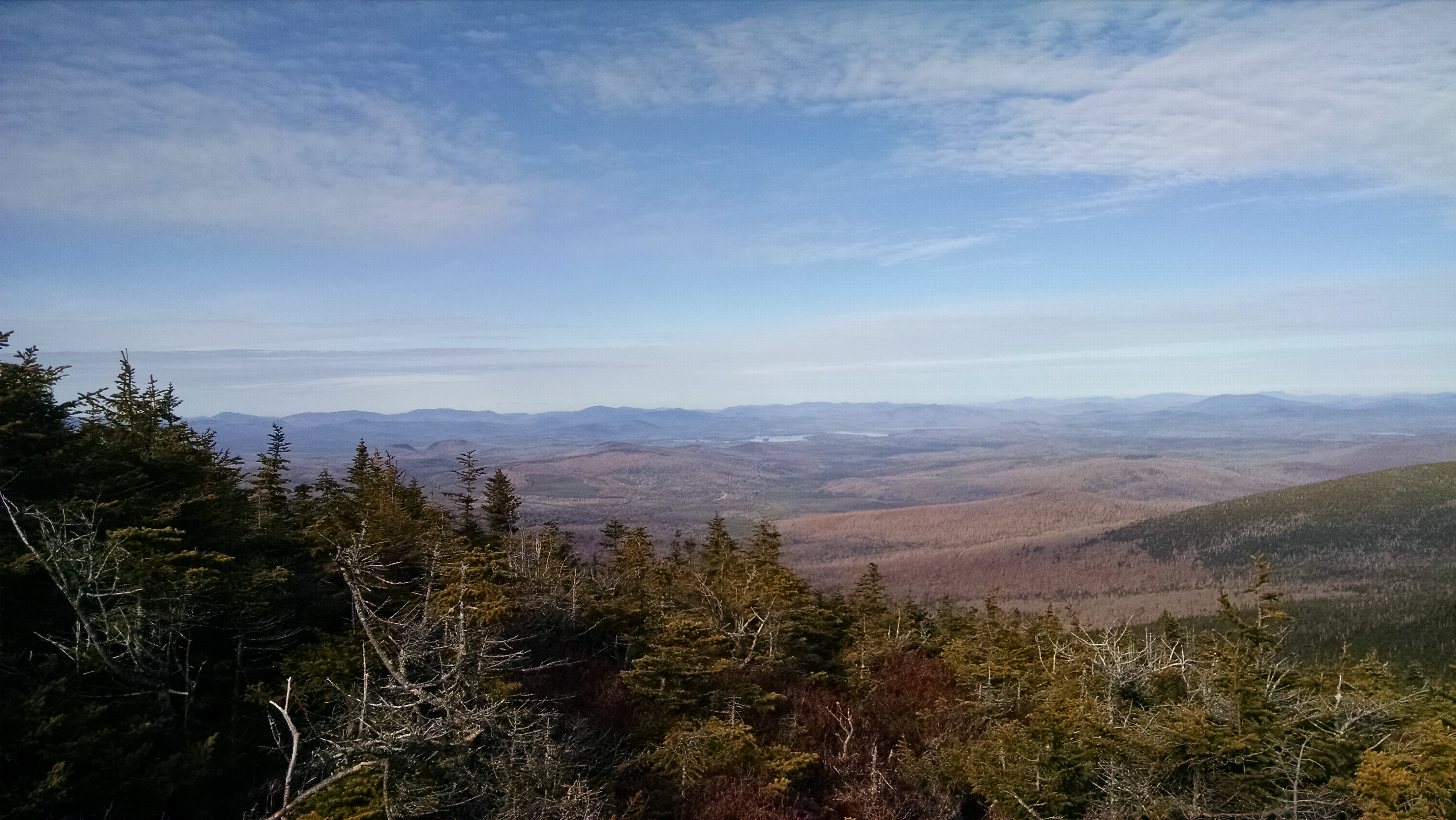
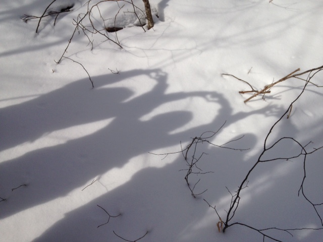
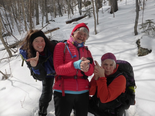
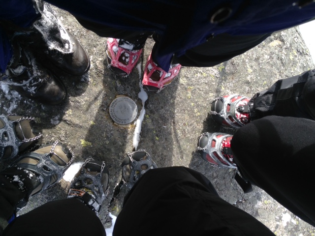
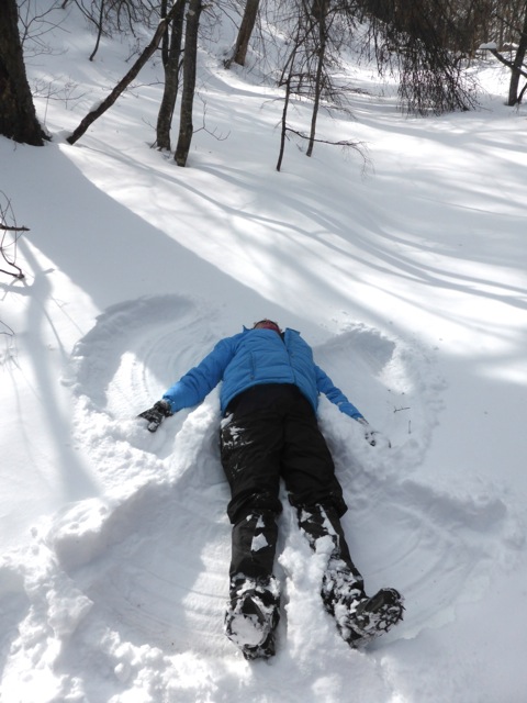
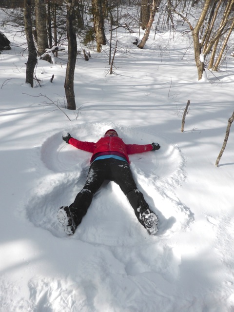
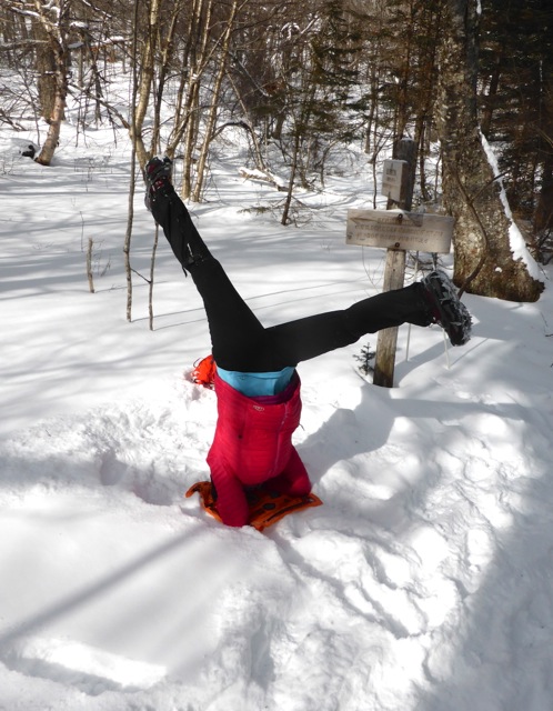
As one member of our party put it: “Walking onto the summit was like getting sand blasted with tiny ice particles.” Though we didn’t check the thermometer, the temperature at the summit dropped drastically and the gusts of winds whipped us about. Needless to say, after snapping a few quick group selfies that left us with frigid fingers and USGS marker group boot photos (a tradition with members of this group) we headed back down to the quiet stillness of the col to eat our lunch, make snow angels, and do a headstand (another tradition).
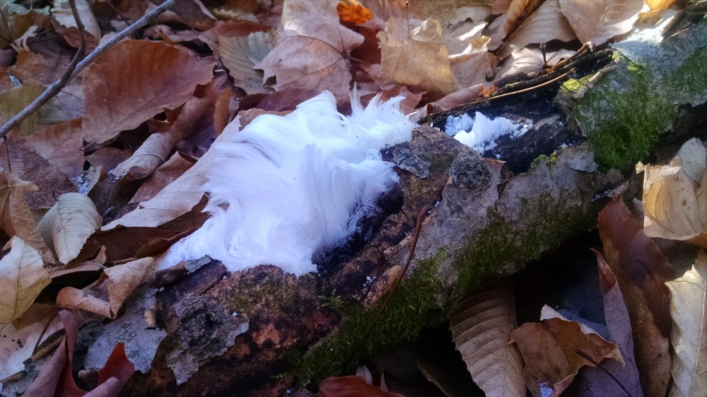
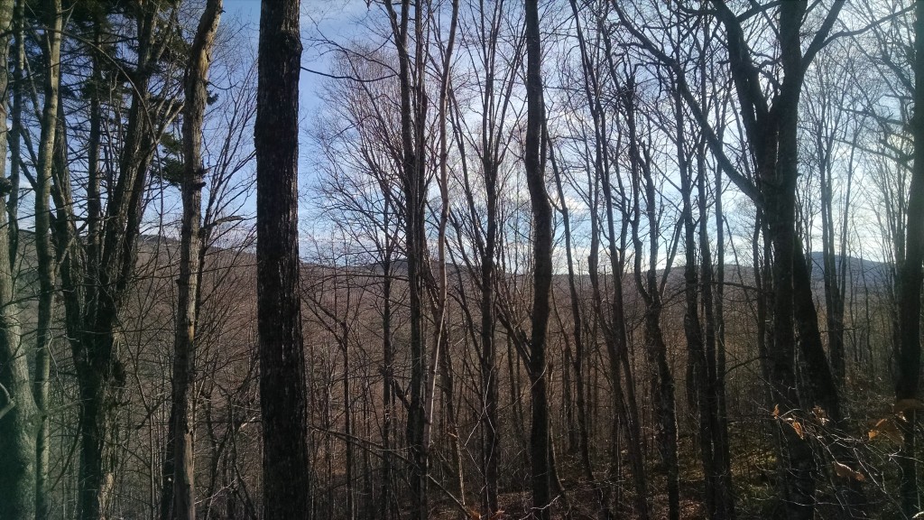
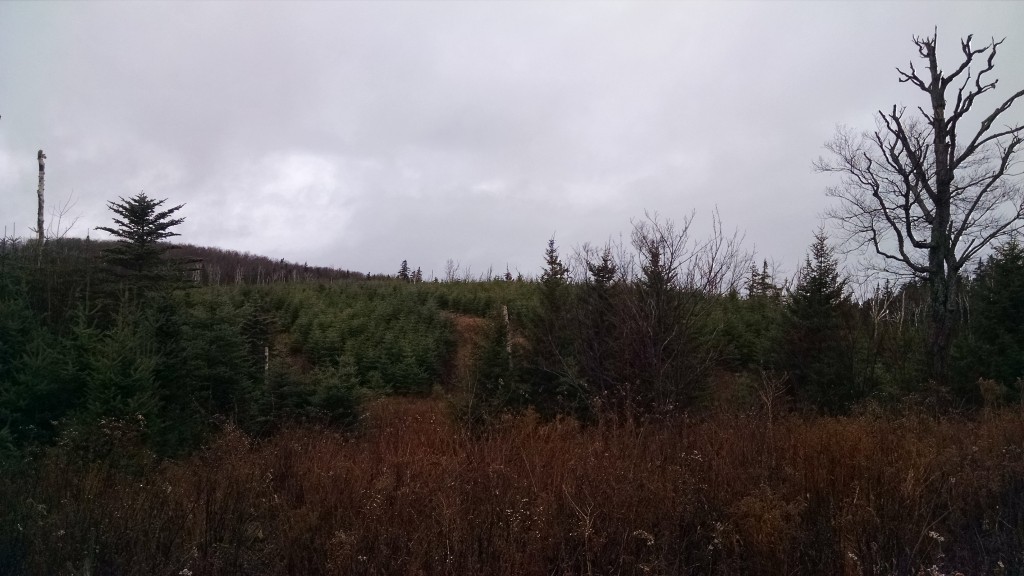
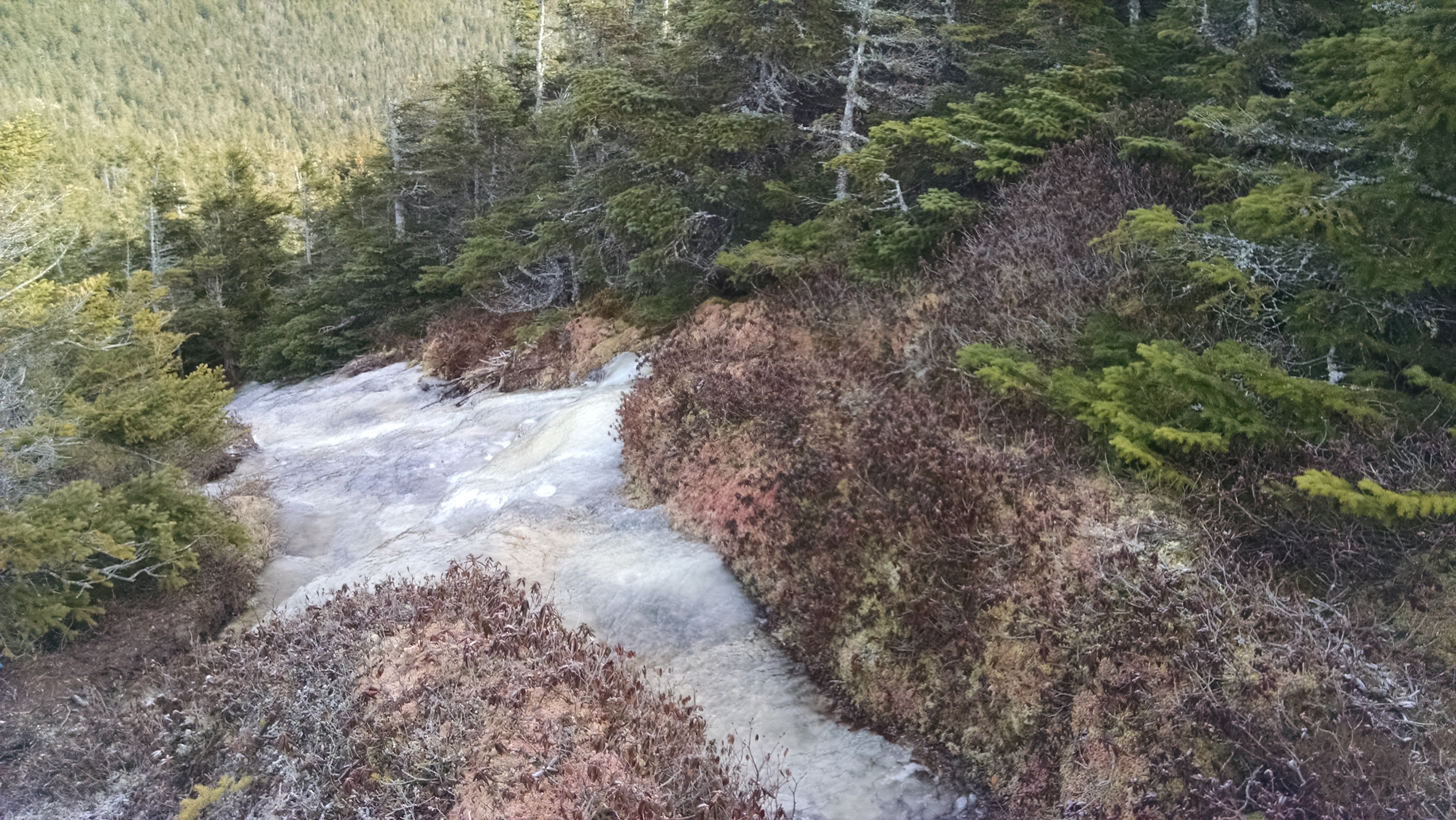
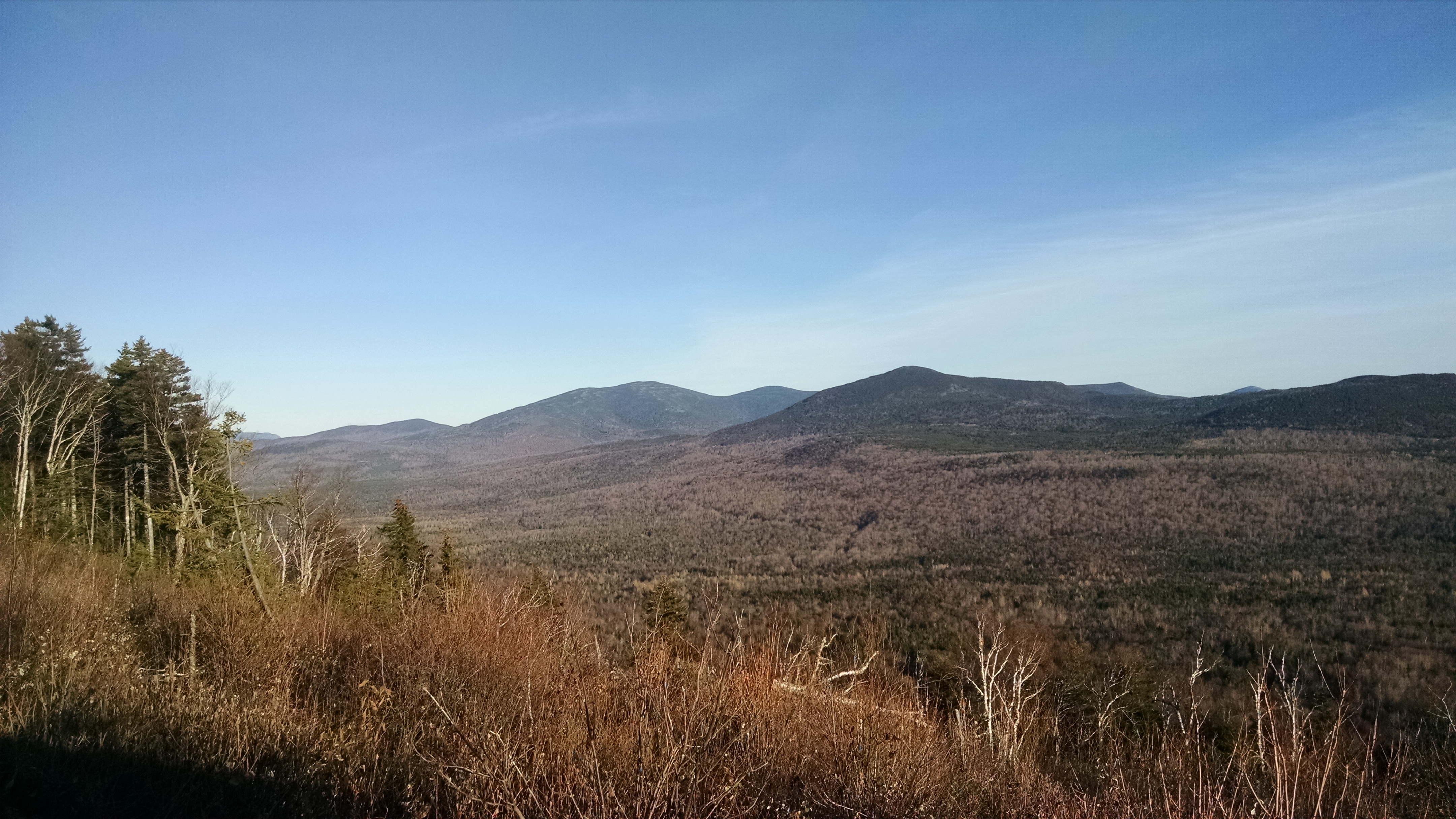
After the wildly windy and super chilled summit, the walk out of the woods felt positively balmy and, as we did on the way up, we stopped a few times to admire ice flows and vistas, chat, and play at pretzel tree.
No trip up the north side of Caribou would be complete without a post-hike visit to Carol in her flower and gift shop at Pooh Corner Farm, and so we did before saying goodbye to the old and new friends who had shared a cold, snowy, and memorable “Great Maine Outdoor Weekend” adventure.