Category: News

Summer Hikes List Posted!

The Maine A.T. Land Trust has posted our 2018 warm-weather season roster of hikes here!

Just to give you a quick rundown – we’ve selected some of our favorites on the A.T. or on official A.T. side trails throughout Maine.  Some of the spots are well-known, but we like to get people out in places they might not be familiar with or wouldn’t go to unless they had somebody take them there.  We also picked a few that are in the greater A.T. landscape but not directly connected to the trail because they are more accessible and you can get an experience of an important component of the A.T.(like a national forest area).

Don’t hesitate to get in touch with us if you feel like you need more info about a hike or have any questions.  As a further incentive to get you signed up, we’ll provide lunch!  Free!


Maine A.T. Land Trust Welcomes New Board Secretary Louise Jensen

Louise on Mount Abraham.

The Maine Appalachian Trail Land Trust is VERY pleased to welcome Louise Jensen to the Board of Directors!  Louise is a long-time volunteer for the organization and all-around supporter of MATLT’s work.  She is a trained trip leader who loves leading groups out on Maine’s A.T. landscape – including up to Avery and West Peaks, her favorites! – and she also puts her technical expertise to work on the Appalachian Trail Maine: Next Century project.  This project, which was started in late 2016, is working to advance the A.T. Landscape Partnership by strategically mapping and inventorying many of the salient features of the mountains in the A.T. region in Maine.  Louise has considerable expertise working with towns and municipalities in Maine who often have much of the data we are using.

She is also a great person and you’d be hard pressed to find a better trail buddy when you’re out on Maine’s A.T.  Congratulations Louise!

Old Speck Trip Report

Old Speck ahead
Warm sun enabled layer shedding.
The Mahoosuc Range and the Presidentials beyond.
The Appalachian Trail north into Maine.
Lounging around.

The Maine Appalachian Trail Land Trust ended the winter hiking season with a spectacular April hike to the summit of Old Speck Mountain in Grafton Notch.  By this time of year, many people in Maine are experiencing winter fatigue and can’t wait to put away the snowshoes, skis, facemasks, gloves and hats.

Not this group!  A fresh 3-6 inches of snow had fallen over hard-packed trail, so we were able to leave the snowshoes in the car.  Temperatures were in the low 30’s to start and the sunshine at this time of year is bright enough to make it feel warmer.  One member of our group even hiked the lower portion of the trail in shortsleeves.  When crossing in front of the Eyebrow we heard the thunderous crash of ice chunks falling from teh cliff wall down to the forest below.

Nonetheless, the winds picked up at higher elevations and the snow, already powdery enough, began to blow and even drift over the trail.  Areas where the sun was blocked by the trees were very cold.  There were three groups ahead of us on this fine day and it was fortunate that we could follow their tracks.

It took about 3.5 hours to reach the summit, and due to the bright sunshine on the summit we stayed for about half and hour and ate lunch.  Views from the summit tower stretched in all directions, and continued on the way down.  At lower elevations the temperature had warmed enough to melt all the snow from the trees and melt much of what had fallen on the trail.  Back in the parking lot all of the snow that had fallen the night before was gone.  Oh and we stopped at three bakeries on the way up/back.

Check out website in the next few weeks for our warm-weather A.T. hikes schedule!  We’ll start in mid-May and go all the way to November!

Cranberry Peak Trip Report

The A.T., Crocker Mountain and Redington
Cranberry Peak
Wading through
Ridgeline.
Great views to the west.
Bigelow Preserve

The Maine A.T. Land Trust’s latest hike up Cranberry Peak was a great way to finish out the winter hiking season (potentially…).  We didn’t get all the way to the summit but with a small group of just four, we were able to ascend the ridge of the Bigelows in tough conditions on a beautiful day.

It was a cold start (about 10 F) and the winds were fairly brisk but the real issue was the SNOW.  Maine had a statewide storm the week before and the mountains got thumped with anywhere from 2 to 3 feet of snow.  Cranberry Peak was no exception!  The trailhead is normally accessed from a parking area down Currie Road in Stratton, but we had to park behind the Coplin town office.  It wasn’t until we reached the trail itself and saw how deep the snow was, and how unbroken the trail, that we realized what we were in for!

Hikers took turns breaking through the deep powder which, depending on the slope, was anywhere from knee-deep to waist-deep.  After a few hundred yards, the next hiker stepped up to break trail while the other headed to the rear, sweating and breathing heavily in the cold air.  After four hours, we had reached the ridge.  Knowing that the trail ahead would be more difficult to find due to the low vegetation, and knowing that we probably wouldn’t reach the summit before the cut off time of 2pm, we decided to turn back.

Our progress down was faster and we were able to stop and enjoy the views.  To the south and east you see the A.T. and Redington Forest; to the south, the Rangeley area and Bemis Mountain; to the west and northwest, the Boundary Mountains.  Despite not reaching the summit, it was a great hike.

Stay tuned for our next – bonus – hike up Old Speck Mountain!  Date TBD, check back on our website!

Bald Mountain (Oquossoc) Trip Report

Trailhead info.
Nice day heading up.
Saddleback and the High Peaks region.
Height of Land and Four Ponds.
Bemis Mountain and Black Brook Notch.
Grafton Notch and New Hampshire.
Heading down!

Maine A.T. Land Trust had a great hike over the weekend up Bald Mountain in Oquossoc on a beautiful late winter day.  Due to the coastal storm the day before, some hikers had to drop out but we had a good time with a small group of three.  While the coast was still dealing with high winds and poor conditions, the mountains of Maine have plenty of snow.

The Appalachian Trail doesn’t go over Bald Mountain, which is on a small divide of elevated land between Mooselookmeguntic Lake in the west and Rangeley Lake in the east.  However, as the photos show, you can see a stretch of about one hundred miles of the A.T. from the summit on a clear day.  The view is spectacular from the observation tower at the summit and the route is only 1.3 miles up.  In the winter this hike does require traction aids to get up over some steep sections that tend to ice up, but it’s not a long stretch and if you take your time it is doable.

Join us for our next hike up Burnt Hill this coming Saturday!

Four Ponds Trip Report

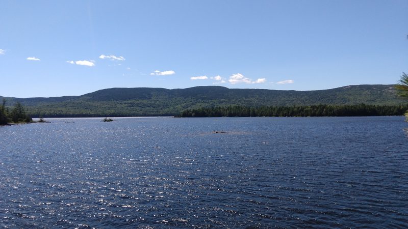
Mooselookmeguntic Lake
Bemis Mountain
Moxie Pond
Unnamed ridge above the A.T.
Near Moxie Pond.

The latest Maine A.T. Land Trust community hike – a make up for the Great Maine Outdoor Weekend – was up to the Four Ponds area just north of Height of Land.  A seldom-travelled area of Maine’s A.T., especially in the winter, Four Ponds is a gem of a section that is perfect for day hiking and filled with natural beauty and opportunities for solitude.

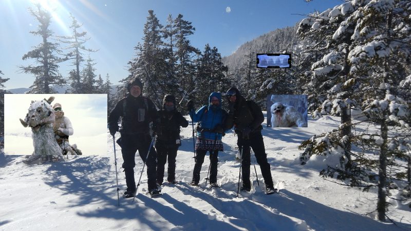
Our group consisted of four hikers, who headed out from Height of Land on a brilliantly sunny, calm Saturday morning.  Temperatures were in the 20’s with light winds – even at the Height of Land overlook there wasn’t much of a breeze when the hike began.  Despite the warm temperatures in areas of Maine at lower elevations to the south, the A.T. was covered in VERY deep powder with a slight crust on top.  Trail had not been broken and it was slow going but our group was content to take what conditions gave.

On the backside of Spruce Mountain a group of grey jays, cuter than average with thick plumage, joined snack time and eventually ate out of the hands of a few of the hikers.  The group came to regret being so generous as by lunchtime the birds became annoyed when the food source dried up.  Lunch was eaten on the shore of Moxie Pond, which is really a bay of Long Pond (largest of the Four Ponds), and that was the furthest extent of the hike.  At different times of year Maine Appalachian Trail Land Trust hikes have gone as far as Sabbathday Pond, 3.6 miles from the parking area, but the snow conditions made for slow (but beautiful) going.  The sky turned cloudy and the wind picked up by the time the group got back to the road, so the day was well-timed.

Join us for our next hike to Bald Mountain (show above in the photo of Mooselookmeguntic Lake) on March 3rd! 

Table Rock Trip Report

Sunday River Whitecap
Success!
Old Speck
Trucking along.
Pretty icy in a few spots.

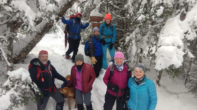
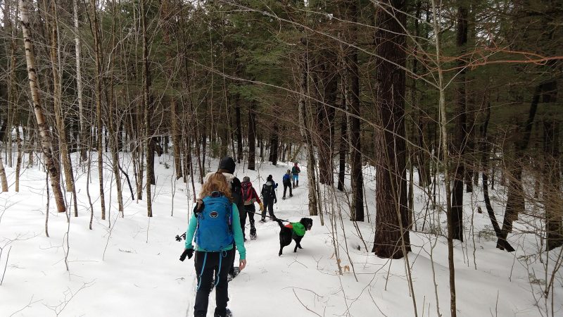
The Maine Appalachian Trail Land Trust had another great hike with the Ladies Adventure Club this past Saturday up to Table Rock in Grafton Notch.  LAC is a group that gets members out in all areas of Maine: kayaking on the coast, hiking the A.T., fat tire biking, and tons of other great stuff.  Like the Maine Appalachian Trail Land Trust, LAC lowers some of the barriers to participation in Maine’s outdoors by organizing peers and pooling resource.  This was our second hike with LAC and hopefully we can lead them again!

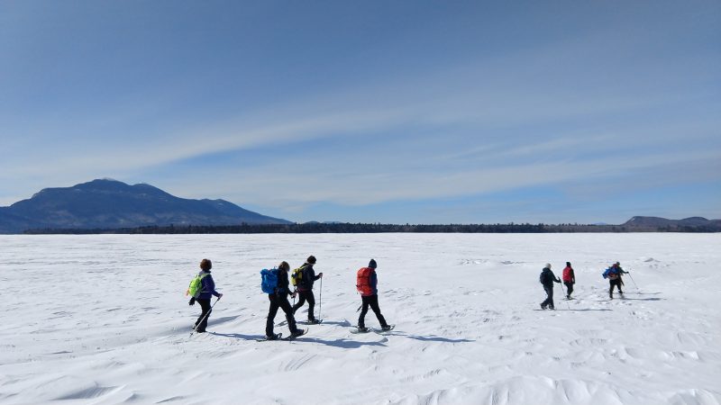
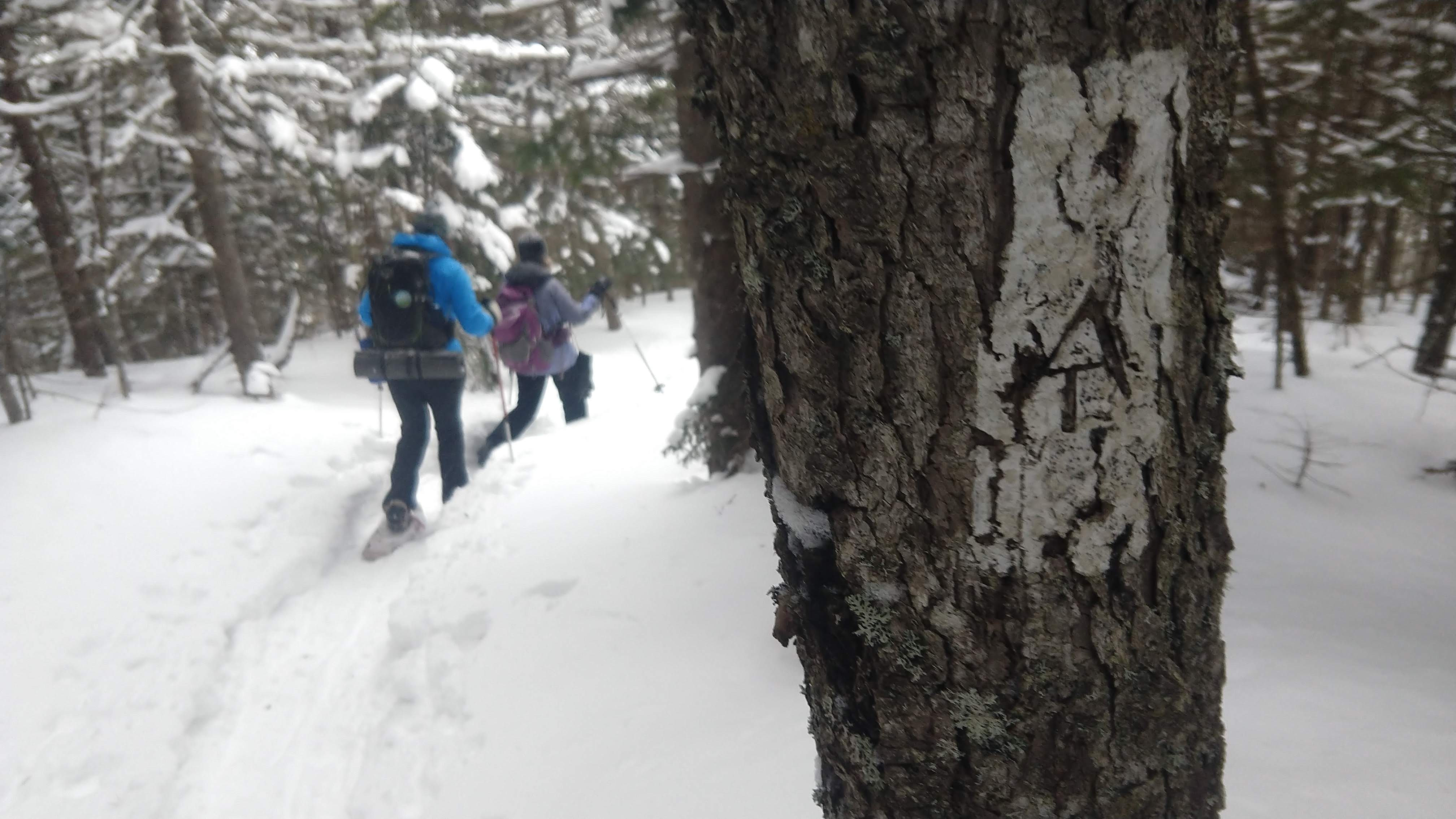
It was another cold morning but fortunately we were able to get in this, our second hike of the winter, after having to postpone our first two due to the cold temperatures.  It was about 5 degrees when we started out on snowshoes – not terrible but still pretty chilly, and soon enough various items of gear were tested by the wind and cold.  Feet were cold, fingers were getting numb, faces stopped feeling stuff.  The forest cover grew thicker pretty quickly and after about twenty minutes everybody was starting to warm up nicely.  Once we headed over to Table Rock on the side trail (the upper, blue-blazed official A.T. side trail, not the orange-blazed rocky one) the trail conditions deteriorated.  Damage from The Storm in the fall left us groping for the next blue blaze, despite being within sight of Table Rock.  After about 15 minutes we found the route, but then faced very icy conditions on the last steep grade up the rock with rungs.  We eventually made it by sticking together and helping each other out.

We ate lunch pretty quickly due to windy conditions on Table Rock, and the ice was dangerous near the edge.  We descended pretty quickly, taking care on the ice, and made it back to the parking lot by 2pm.

This weekend is the Great Maine Outdoor Weekend and we’re heading up Old Speck!  Join us by signing up here.

Gulf Hagas Whitecap Project Completed

Map of the Gulf Hagas Whitecap project.
White Cap Range, with Baker Mountain at right.
High-elevation lands.
The White Brook Trail, an official A.T. side trail.
The A.T. near the White Brook Trail junction.

Now that the holidays are behind us and we have taken stock of things we are grateful for, many of us will be giving thanks for a wonderful place in Maine that is now protected for our communities and our planet: the Gulf Hagas-Whitecap project.  We are grateful for the dedication and hard work on the part of Maine conservation organizations, partners in state government and most of all, an extremely generous landowner who made this all happen.

The Gulf Hagas-Whitecap project, which was initiated four years ago by the Forest Society of Maine, is a 10,000-acre area of mountains, forests and recreation land smack in the middle of the fabled 100-Mile Wilderness.  7,138 of those acres are now protected by a conservation easement that ensures public access to the forests for recreation and that the land will remain a productive working forest.  The project also transferred 1,264 acres of land to the Maine Department of Agriculture, Conservation and Forestry, Bureau of Parks and Lands, which includes a key segment of the KI Road and public access to the region for hunting, fishing, camping, hiking and the movement of forest products .  This parcel of land includes five miles of the West Branch of the Pleasant River, renowned for its high-quality brook trout fishing and paddling opportunities. Lastly, a forest products industry landowner kindly donated 1,574 acres of high-elevation lands abutting the Appalachian Trail (A.T.), including much of White Cap Mountain, the highest peak in the 100-Mile Wilderness, to the Maine Appalachian Trail Land Trust.  Without this donation, the other two components of the project could not have been completed.

This wonderful area has permanent public access, conserved forests and fisheries  habitat, eleven miles of protected, high-elevation land on the A.T.—in short, something for all Mainers to enjoy for years to come.  This project succeeded because of collaboration between the forest landowner, the Bureau of Parks and Lands, a grant from the Land for Maine’s Future program, active support from Maine’s Congressional delegation, involvement from local businesses, and contributions from many generous organizations and people who know and love the region. The hard work of many individuals over many years–including Alan Hutchinson of the Forest Society of Maine, who sadly passed away in August— and the patience and generosity  of the landowner, enabled this magnificent project to be completed.  As we move away from the holidays into the heart of winter, we  are thankful for all the benefits to current and future generations because the Gulf Hagas-Whitecap project was completed.


Piazza Rock and Eddy Pond Trip Report

Made it!
Piazza Rock is so big that one photo can’t contain it.
Stark beauty of Eddy Pond.
Break time.
Great day out on the A.T.!

By Louise Jensen

Saturday temps were predicted to be above freezing with partly cloudy skies and some high winds. Not a bad weather day for a winter hike. Our 2 cars with 6 hikers arrived at the A.T. trailhead on Route 4 in Sandy River Plantation around 10am where the parking lot was not plowed. No surprise there. Fortunately, we were able to squeeze the vehicles along the side of the road.

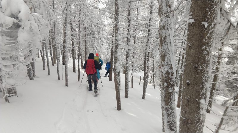
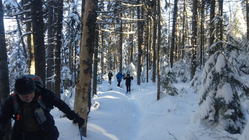
Snowshoes were the preferred mode of transport for the day.  The trail was snow covered but broken out a bit and the surface was hard with some icy spots. Pretty decent conditions for snowshoeing.  Although the wind howled a bit overhead, the trees, covered with that winter wonderland mantle of snow, kept us protected most of the time.

Heading out we descended slightly and crossed the bridge over the still flowing Sandy River. Ascending gradually, we reached a snowmobile/logging road at about 1 mile or so in. Looking both ways – it was “Snowdeo” weekend – we safely crossed over and reentered the woods. Eventually, we reached the Piazza Rock lean-to and the side trail to the Rock.  We decided to trek on to Eddy Pond and explore the Rock on our return hike out. Further along the trail are some boulder caves but investigating those was not on the day’s agenda.

We continued up and down through narrow sections where snow laden branches crowded the trail. We passed Ethel pond on the right and Mud pond on the left, finally reaching Eddy Pond where the wind howled and lunch time was spent huddled under the canopy. Once nourished, we spent some time by the shore of the pond, admiring the cold gray starkness of the sky and the frozen pond surrounded by the evergreen-covered foothills of Saddleback.

The wind eventually chased us out and we trekked back to explore Piazza Rock. The rock formation is an enormous overhanging flat-topped boulder with trees growing out from the top. It is amazing to behold and we all had notions of what it looked like: a snake, a dinosaur head, even a sock puppet. It is definitely worth the .1 mile climb off the beaten path. Unfortunately, we couldn’t linger too long as it was growing late so we hurried out before it got dark.  All would agree later that this was a really wonderful and fun winter hiking adventure!


Maine A.T. Land Trust Awarded Davis Conservation Foundation Grant

We are pleased to announce that our Appalachian Trail Landscape Partnership projects have been awarded a grant from the Davis Conservation Foundation!  The Davis Conservation Foundation is a public charitable foundation established in 1989 by Phyllis C. Davis and H. Halsey Davis of Falmouth, Maine, to support protection of the environment and conservation of our natural resources. The foundation was established following Mr. Davis’ retirement as President and Chairman of Shaw’s Supermarkets, Inc. and has provided over $15.8 million in grants to conservation organizations since its founding in 1989.

The A.T. projects include two in Maine’s High Peaks and and two in the fabled 100-Mile Wilderness region just south of Katahdin.  These funds will aid the Land Trust’s effort to complete projects that are of national significance to the Appalachian Trail and will be critical for Maine’s recreational, economic and ecological future.

Thanks again to the Davis Foundations!  They have done incredible work in Maine over the years.