Category: News

Rangeley and Kingfield A.T. Community Celebrations

The High Peaks region recently celebrated two A.T. communities with all-day celebrations featuring games, giveaways, food, music, entertainment and more.  A.T. towns are considered assets by all that use the A.T., and many of these towns act as good friends and neighbors to the Trail.  Rangeley was designated an A.T. community in 2012 and Kingfield just last year.  The two other Maine A.T. communities are Monson and Millinocket.  Millinocket will be holding their annual Trails End Festival from September 15 to 17th.

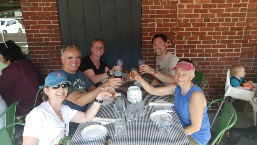
Here are some highlights from the Rangeley Trail Town Festival on September 2nd:

Maine Appalachian Trail Twister!
Reading by “Grandma Gatewood”.
Big crowds!

And some from the Kingfield’s A.T. Community Celebration:


Bigelows: Avery and West Peak

West Peak.
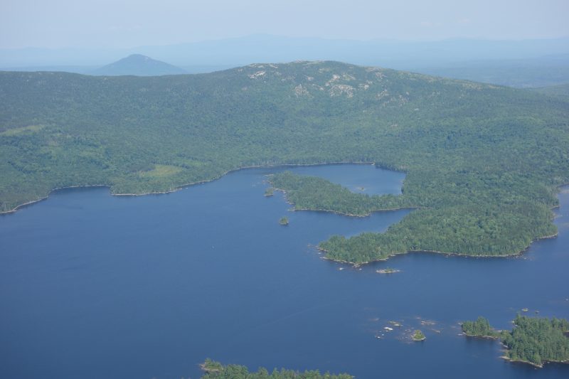
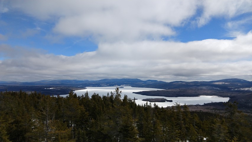
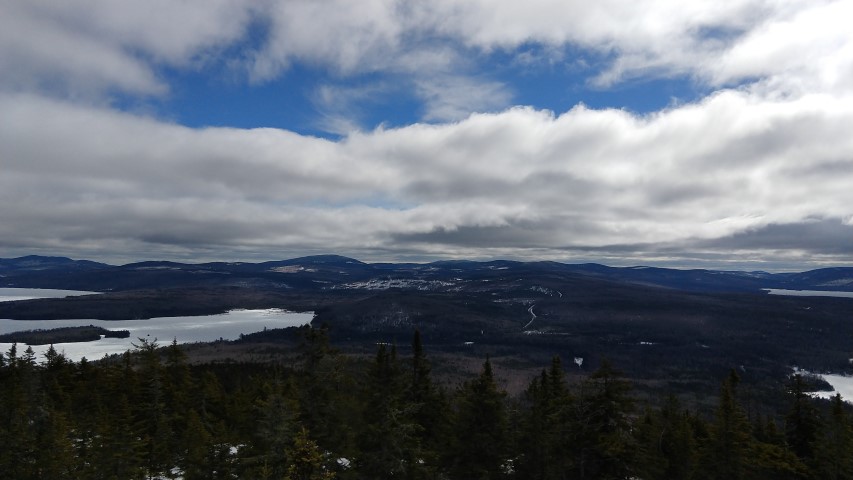
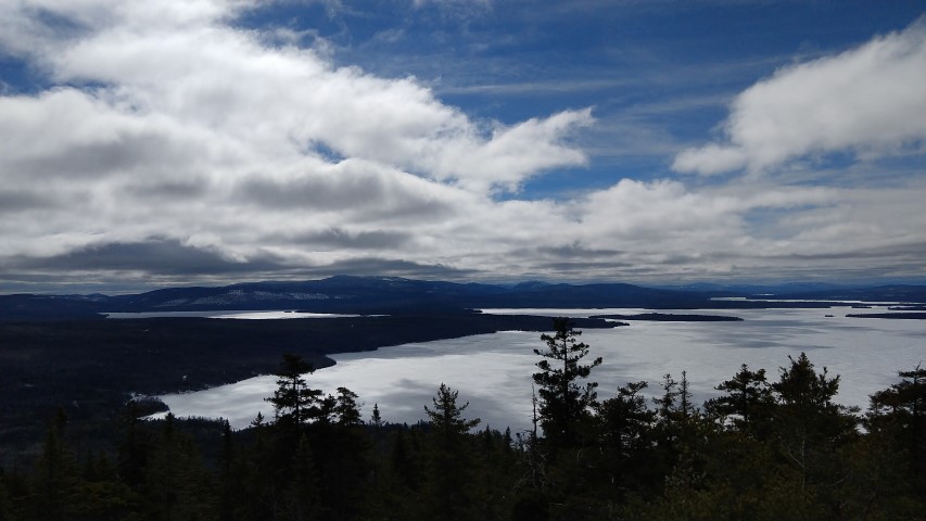
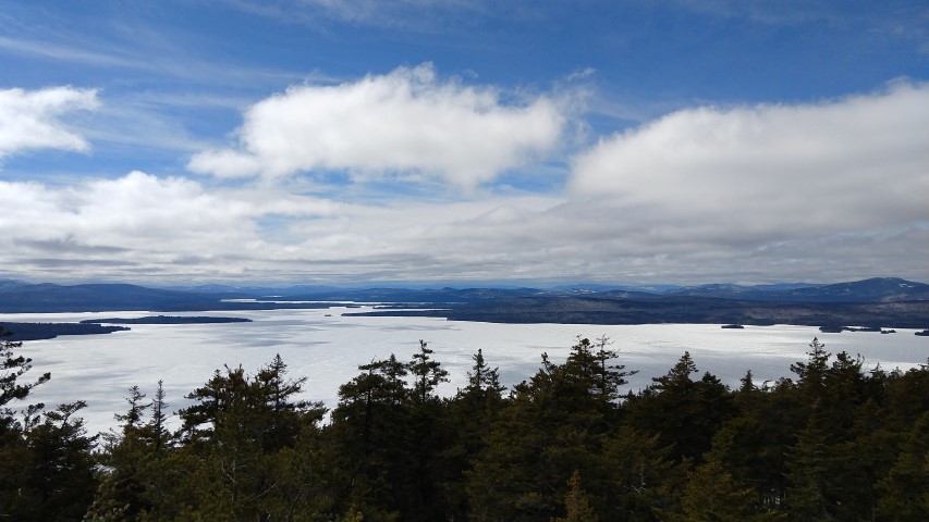
Flagstaff Lake.
Avery Peak.
Alright…

By Louise Jensen

It was a perfect late summer day for a hike. Our destination: Avery and West Avery Peaks, the two highest on the Bigelow range, via the Firewarden’s trail.  Although, the shortest route to the col (lowest point between two peaks), it is probably the steepest way to go, but that did not deter us. The three of us arrived before 9am to find the parking area overflowing but we found a nice little pull off where we tucked the car in and geared up and headed out. We passed the Stratton Brook Pond, the Moose Falls Campsite and then began our steep ascent to the col. Several sections of stone “steps” are there to make climbing a bit easier and if you turn around for a moment, you will get some great views of Sugarloaf. Finally, reaching the col, we took a quick break to layer up, have a snack and, of course, take a few pics of the trail signs and the AT blazes.

We headed east to Avery peak first where we met a few other hikers (but no through hikers yet), and settled down below the stone remnant of the fire tower for a lunch break. Cool, breezy and sunny, we enjoyed the much needed rest and nourishment as we took in the spectacular views of Flagstaff Lake and West Avery peak. Another feature on this peak is the plaque honoring Myron H. Avery, a Maine native, who was instrumental in extending the northern terminus of the Appalachian Trail from Mt. Washington to Katahdin and he also founded the Maine Appalachian Trail club in 1935. A nice reminder of the history of the AT in Maine.

After chatting with another hiker who was working on his NE 100 highest, and the usual picture posing, we headed back down to the col to head over to West (Avery) Peak, the higher of the two peaks.  We met two through-hikers in the col, one from North Yarmouth, ME and one from Pittsburgh, PA, but they were moving along rather quickly and did not pause long to chat. When we reached the summit, we found it pretty crowded with mostly boy scouts and other groups so we continued past the packed peak to sit and relax while taking in more of those amazing views. After about 20 minutes or so, we reluctantly gathered up our packs and headed back to the col to make the steep descent down the Firewarden’s trail. The whole hike took just over eight hours and we all agreed that it was yet another glorious day on the trails in Maine.

Enduring Heights: The High Peaks of Maine

“Enduring Heights” features photographs by John and Cynthia Orcutt of the natural environment of Maine’s High Peaks, including the areas surrounding Sugarloaf, Bigelow, Crocker, Mt. Abraham and Saddleback mountains. The hardcover book is 12? x 12? in size, 132 pages with maps, several essays and over 90 color plates. The Foreword is written by Angus King, US Senator from Maine and there is an essay on conservation in the High Peaks by Wolfe Tone, former Director of The Trust for Public Land in Maine.

The book publication was partially funded by the Kibby Wind TIF (Trans Canada) – a TIF program organized to promote economic development in the Unorganized Townships (UTs) in Franklin County.  Part of the TIF program involved donating copies of the books to the non-profit organizations that promote and conserve the High Peaks area, including the UTs.  These groups include Trust for Public Land, Franklin County Chamber of Commerce, Franklin County Development Corp, Maine’s High Peaks Business Association, Sandy River Business Association, Rangeley Lakes Chamber of Commerce, Maine Huts & Trails, The High Peaks Alliance,  and The Maine Appalachian Trail Club.

The Maine Appalachian Trail Land Trust is fortunate to also have received copies of this book, which is already generating considerable interest.  Senator King showed up for a signing event last week!

If you are interested in purchasing a copy, head over to this link.

A.T. Conference Mount Abraham Hike

Heading up!
Lots of storm damage was evident.
Heading down.
Success!
Treeline.

As part of the recent Maine 2017 A.T. Conference, Maine Appalachian Trail Land Trust Executive Director Simon Rucker led a group hike to one of the Land Trust’s past conservation projects: Mount Abraham.  Conference attendees had been going to seminars to hear about A.T. maintenance issues, threats, successes and, yes, land conservation, and many were eager to get out on the fabled Maine landscape to see what it had to offer.

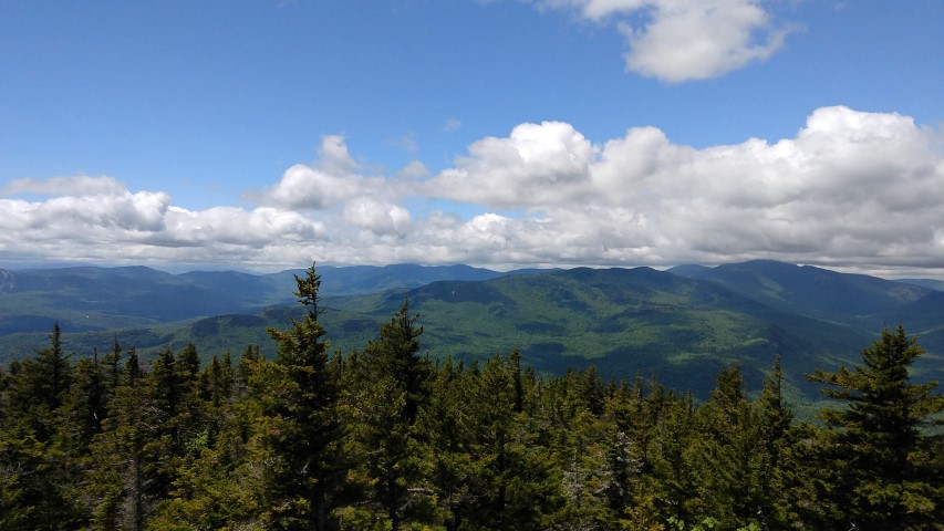
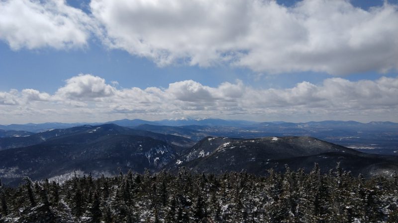
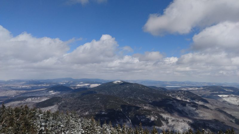
Our group was composed of members from all over the A.T. landscape: Georgia, Tennessee, Virginia, New Jersey, New York, Maine and Quebec.  We headed up to the summit via the Fire Warden Trail, the most common route.  Though some of the group had travelled in Maine before, none had hiked in this rugged landscape.  And they were pretty impressed.  Abraham has the largest alpine zone in Maine and we had a spectacular day to enjoy the views in all directions.  The weather was brisk above treeline and the southern contingent compared the Maine climate to that of the southern Appalachians.  There were lots of questions about the conservation status of the landscape: from Sugarloaf down the Rapid Stream valley – almost the entire viewshed from the Fire Warden Trail – is unprotected, but spectacular and remote.

Once on the summit, the group explored the alpine zone between the two summit cairns – “there’s nothing like this in ________” was heard fairly often.  On the way down, we left the alpine zone, headed through high-elevation spruce/fir forest, and then were back in mixed spruce/fir and hardwoods until re-emerging at the trailhead.

The special nature of Maine’s Appalachian Trail is a an asset to be treasured and used, and our hike exemplified that.


Art and Land Conservation Frederic Church Expedition

As part of the Art and Land Conservation Symposium portion of the Appalachian Trail 2017 Conference at Colby College in Maine, a number of field trips were offered for symposium participants.  Deb Carroll, Maine Appalachian Trail Land Trust volunteer, has contributed a trip report on an outing she led to Katahdin for a two-day art history expedition into the world of Frederic Church.  Church traveled the world but so loved the Katahdin area that he built his summer camps there on Millinocket Lake. His camps were a base from which he worked. The last of his studio works, Katahdin from Millinocket Lake (1895), is perhaps the most well-known of his Millinocket Lake pieces. Church would also paint at other vantage points in the region, most famously perhaps at the remote and beautiful Katahdin Lake. Many other artists followed Church to Katahdin Lake, including Marsden Hartley. Today, Katahdin Lake is part of Baxter State Park and is still visited by working artists.
By Deborah Carroll

We met on August 5, 2017, just a few miles outside of the southern gate of Baxter State Park, to begin a 2-day adventure through art history.
Frederic Church was an American landscape painter who built a summer camp on Millinocket Lake.  During the morning hours, we were given a tour of Church’s property, which still bears many artifacts from that age including furnishings, the original structure with its vertical log wall (though it’s been renovated to some degree), and a marvelous stone fireplace with a mosaic that was thought to depict Church’s beloved canoe, but which I thought resembled a sailboat.  And they gave us cookies!

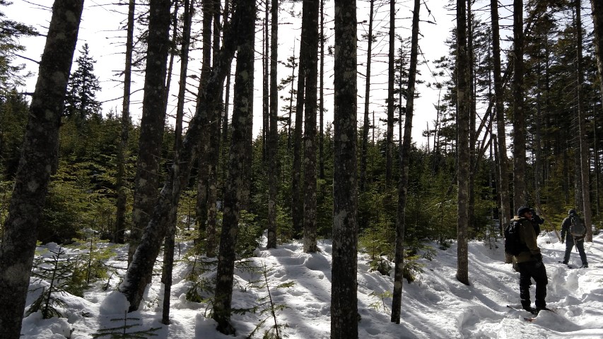
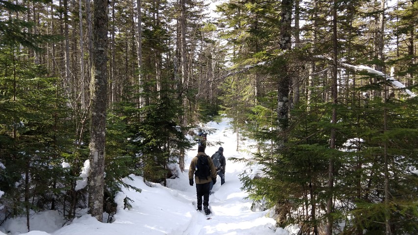
By 1:00 our group of 11 artists and art historians were shouldering out backpacks for the 3.5 mile walk to Katahdin Lake Wilderness Camps, a frequent haunt of Frederic Church and his large entourage of artists and friends.

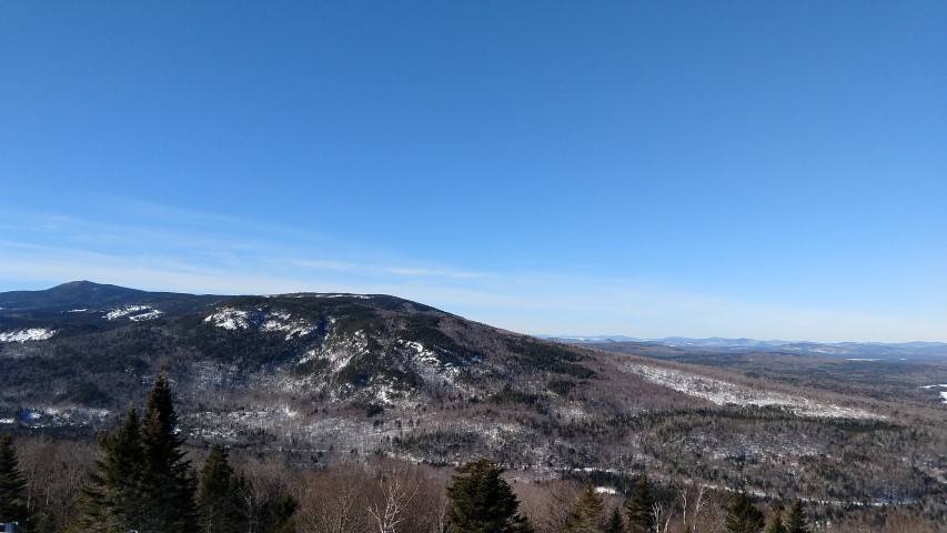
Katahdin Lake Wilderness Camps is perched on the shore of Katahdin Lake and affords one both a sandy beach and spectacular views stretching from Pamola to Hamlin Peak and beyond.

The Camp also features wonderful home cooked meals prepared by Holly and her crew, as well as comfortable cabins and bunks (complete with pounding rain on the roof and lightning during our visit), and fish that bite your toes when you dangle them in the water off the dock (which seriously cracked us up – and what’s a MATLT adventure without something seriously cracking us up?). (Editor’s note:  Gross!)

Our group was co-led by Maine watercolorist Evelyn Dunphy, who introduced us to individuals who were well versed in the rich story of Church’s activities in the area.  Dunphy also entertained us with stories and her own insights regarding Church era exploits.  Speaking only for myself, I was left richer for the experience.  I believe that sentiment was shared by all.

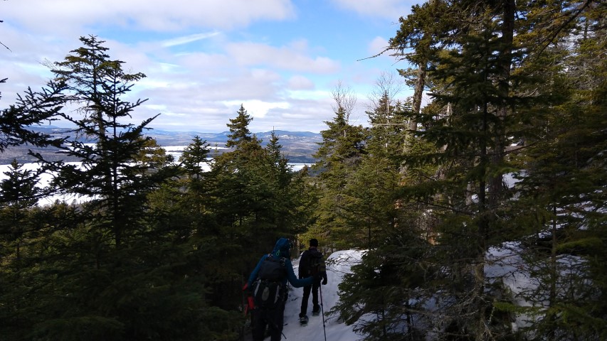
Saturday afternoon, and briefly Sunday morning, found us swimming, kayaking, sketching, and taking photographs by the lake.

The hike, a short “out and back,” was comfortable, with little elevation gain, and our group handled it nicely.  As I walked, I thought about the artists who carried their tools with them through those woods and set up their easels on the shore and dock to create pieces that would then travel the world and positively impact the work of conservationists globally, and for years to come.  This adventure was so much more than a walk in the woods, and yet it was, simply, just that as well.

The Horn via the Berry Picker’s Trail

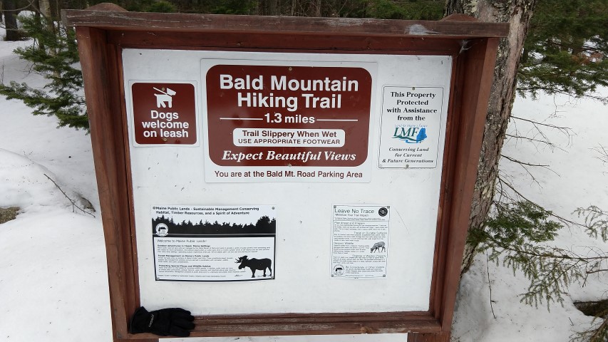
New sign.
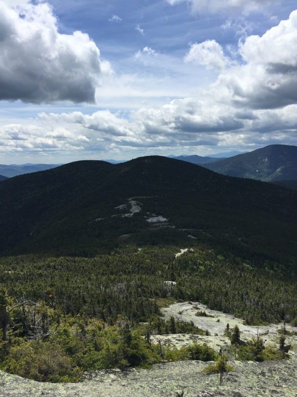
View of The Horn, the day’s destination.
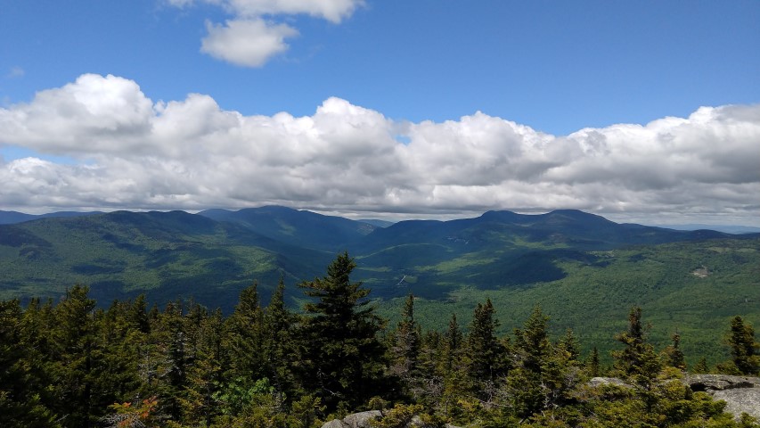
Saddleback Mountain from The Horn.
Redington Forest from The Horn.
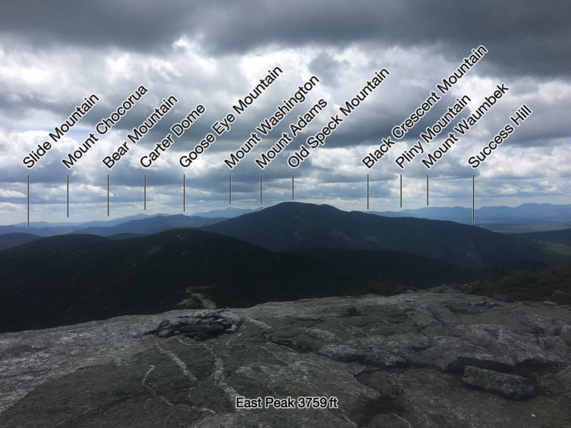
Seven of Maine’s 4,000-foot peaks.

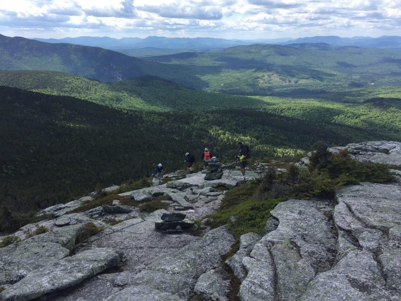
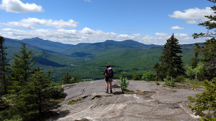
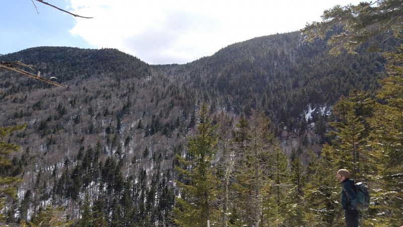
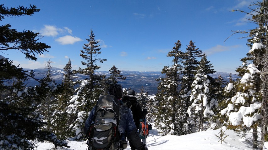
Maine Appalachian Trail Land Trust’s latest Next Century Hike was a trip to the Berry Picker’s Trail – partially over land owned by the Land Trust – up to The Horn.  This traditional trail up the ridge to the A.T. was recently re-opened and is now a blue-blazed official A.T. side trail.  The normal route to The Horn (4,023 feet) via the A.T. from Route 4 is 14.6 miles round trip.  Taking the Saddleback ski trail will shave off a few miles at the expense of some ugly terrain.  But if you take the Berry Picker’s Trail, the route is significantly shorter – 7.8 miles round trip – and follows a steady but not too steep open ridge with excellent views all the way up.

However – to access the Berry Picker’s Trail, you need to first drive over a rough logging road for a little over three miles and then park at an ATV gate.  This road has deteriorated significantly since the fall so if you are heading in please use caution and have, at a minimum, a high clearance vehicle with all-wheel drive.  From the ATV gate, you walk up the ATV trail for one mile before you reach the true trailhead of the Berry Picker’s Trail.

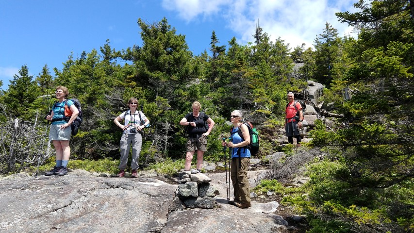
We had a small group of just three for this hike, but the weather was spectacular.  Once we reached the A.T., we saw several southbound and northbound thru-hikers, including one from Spain.  We reached our destination – The Horn – at 12:30pm, and had a leisurely hike down.  Even at this pace, we were back at the car at 4pm.  It’s not often you can get into terrain as remote as it is on this side of Saddleback, ascend a 4000-foot peak, and then be home in time for dinner two hours later!

Old Speck Trip Report

Big day on Old Speck
Beautiful sky!
The gang.

By Louise Jensen

Sunday brought together six veteran MATLT hikers to venture up Old Speck in Grafton Notch State Park. Old Speck, at 4,180 feet, is the tallest and northern-most mountain in the Mahoosuc Range that stretches for 30 miles across Maine and New Hampshire. From route 26 in the Park, the AT (Old Speck Trail) runs south to the Mahoosuc trail and then a short spur takes you to the summit of Old Speck where a fire tower provides spectacular 360 views.

Before heading up, we noticed some folks setting up some “trail magic” in the parking lot for AT through hikers.  We did see some thru hikers coming down as we ascended; 2 particular fellows were very happy to be in Maine and getting closer to their final destination. I’m sure the trail magic was a welcome sight.

The weather started out cool and partly cloudy – really perfect conditions for hiking. Although, we “donned” some bug spray, the bug population conveniently stayed away for the most part. No complaints there!  Water crossings were easy, the waterfall was flowing nicely and the footing, though still wet and muddy in places from last week’s downpours, was very manageable.  As this is a steep and rugged hike, we took our time, stopping frequently to admire how lush the forest is this time of year and to take in the intermittent views along the way.  We passed the trails leading to the Eyebrow – not in our plans for the day – and continued steeply up and down using a narrow foot bridge and a ladder, stepping over a large blowdown and under another to finally reach our destination. Along the way, we met up with MOAC hikers and Maine AMC hikers – Sunday was a popular day to be out.

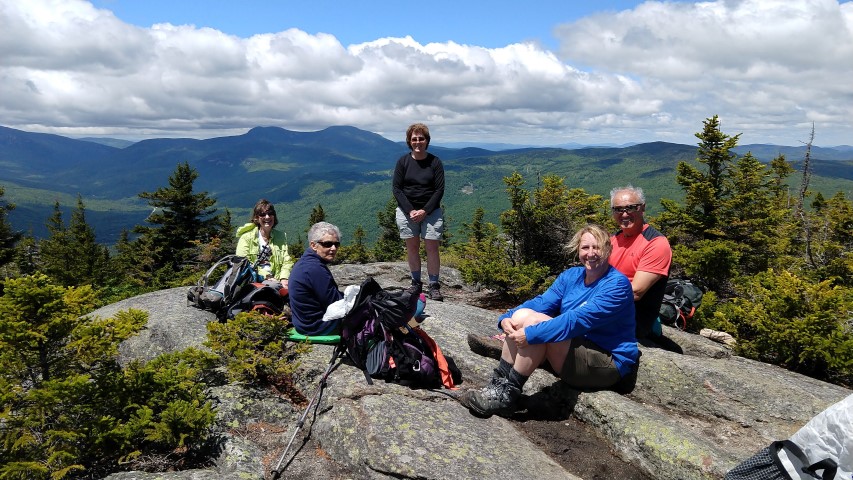
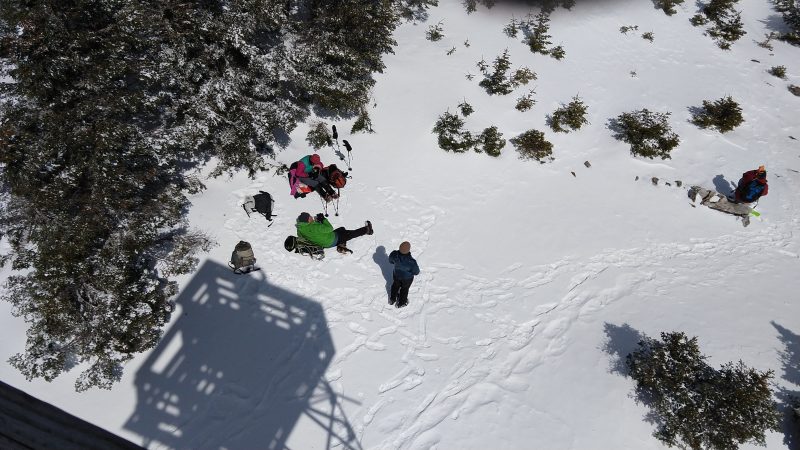
The summit was sunny and breezy.  We ate lunch, enjoyed the limited view and climbed the tower to take in that fantastic 360 view. Well, some of us did.  The tower has a very straight ladder that can be a little scary to climb on – not everyone’s cup of tea!  After one of our members did her customary yoga head stand and we took the traditional group photo, we headed down, moving more quickly than our ascent.  After about an hour, we got caught in a brief summer shower that dampened the trails just enough to make it a bit slippery so extra caution was needed.  The sun soon popped out again, and we all arrived safely at the parking lot – happy and satisfied hikers!

Baldpates Trip Report

Nice stone steps.
East Baldpate.
Some views!
The saddle bog.
Success!

By Louise Jensen

Sunday morning found 5 hikers ready to climb the Baldpates with hopes of seeing the 360 views that the East peak has to offer. Hitting the AT before 9:30, we headed northbound with warm but comfortable temps and clouds still in the sky. Bugs were out but pretty tolerable so far. We took our time, snacking, hydrating and taking photos of the many lady slippers dotting the trail and, of course, plenty pics of ourselves.  Blue sky was peaking out above the trees with the clouds clearing from time to time. Hope for those views.

We passed the side trails to Table Rock which we elected to skip as we had more than 3 miles to go. At 2.3 miles we passed the side trail to the Baldpate lean-to and steadily climbed to West peak. Views were in the clouds at this point and after a quick descent complete with a ladder assist, we finally climbed to the base of the big rock ledges of East Baldpate. The steep ledges here look scary to climb but as long as they are dry – and they were today – the footing is quite good.

Mist and clouds greeted us at the summit – but alas, no 360 views today. Even so, the summit is wide and beautiful. Periodically, the clouds would part in the distance and we got glimpses of the views below.  After some lunch, more pics and a chat with some through hikers, we headed back down.  On the way, the clouds parted somewhat and we finally had some lovely views. We continued on our way for a hot and buggy hike out, but all in all we all agreed that we had a wonderful and fun hike.

Horizon Foundation Contributes to Maine Appalachian Trail Land Trust Program

The Maine Appalachian Trail Land Trust recently received a $5,000 grant in support of the Appalachian Trail Maine: Next Century program.  The program was launched in 2016 with three facets:
1. Next Century Priorities. Prioritization via GIS mapping and application of the lands along Maine’s Appalachian Trail.
2. Next Century Land Protection. New conservation projects along the A.T. in response to NPS Scaling Up Initiative.
3. Next Century Outreach: Bringing national attention – from the public, elected officials, foundations and other conservation organizations – to the Appalachian Trail in Maine.

ATMNC is well underway and expected to be completed in early 2018.

Horizon Foundation was founded in 1997 to support non-profit organizations that aspire to create and maintain sustainable, vibrant and resilient communities by

  • Enabling children and adults to lead their communities in creative, healthy and thoughtful ways;
  • Educating citizens to be good stewards of the environment;
  • Conserving land and water resources;
  • Encouraging service to others;
  • Promoting visual arts and music, and
  • Teaching appreciation of and preserving historic assets

Thanks you to Horizon Foundation!