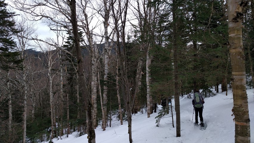
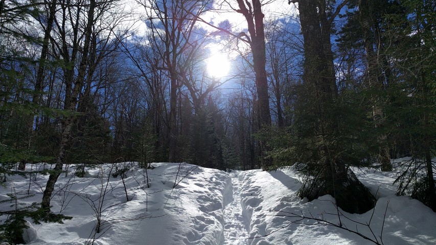
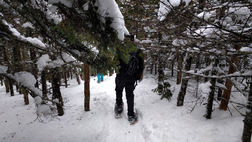
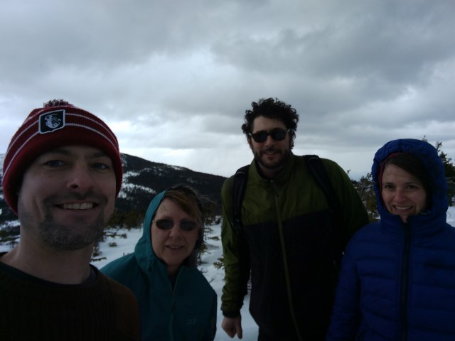
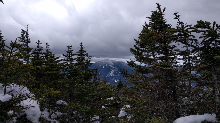
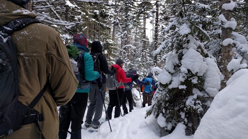
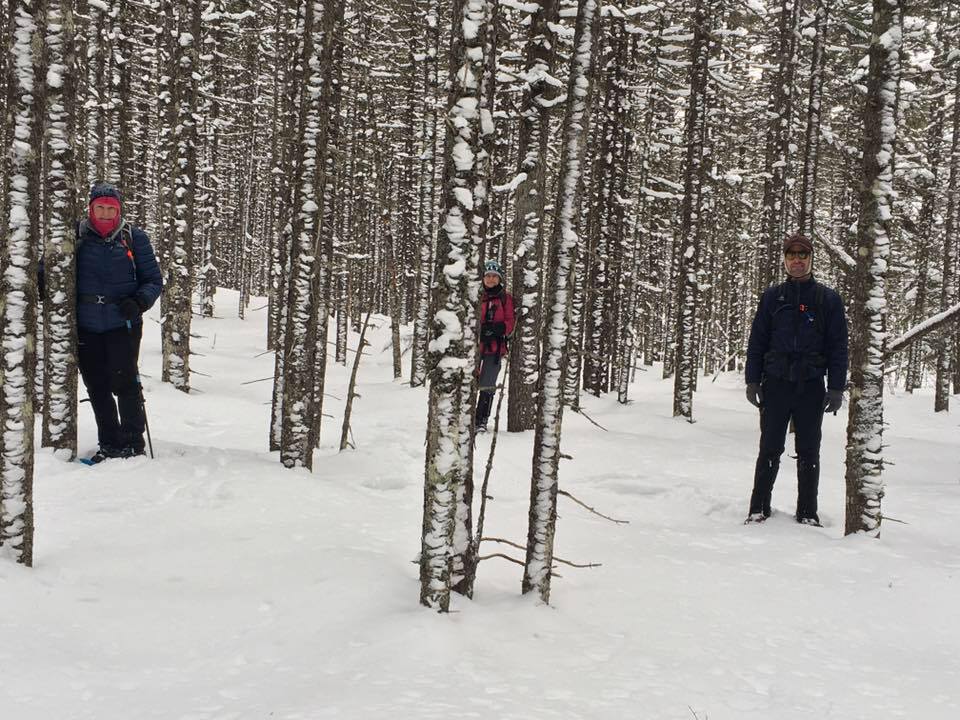
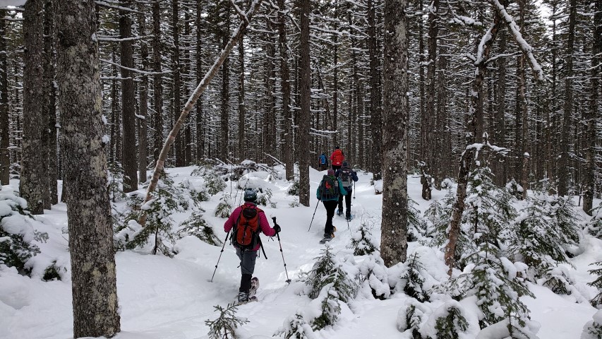
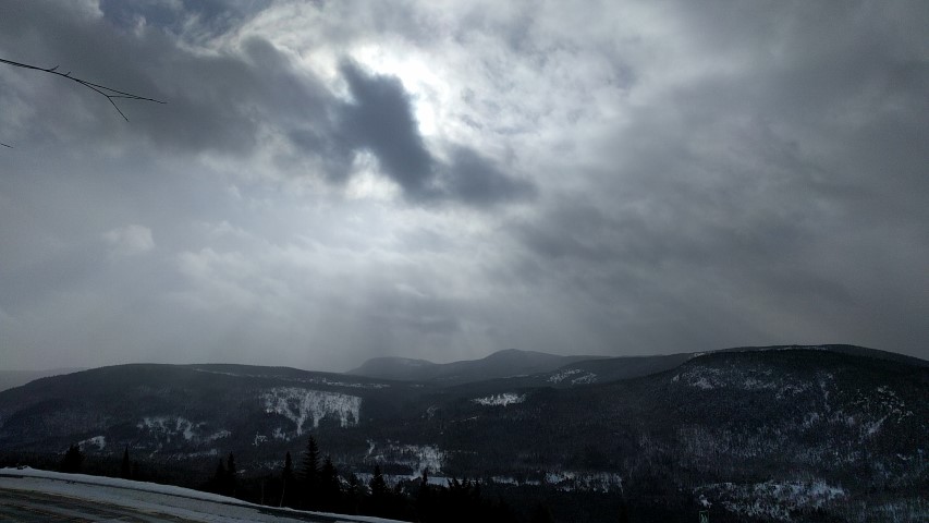
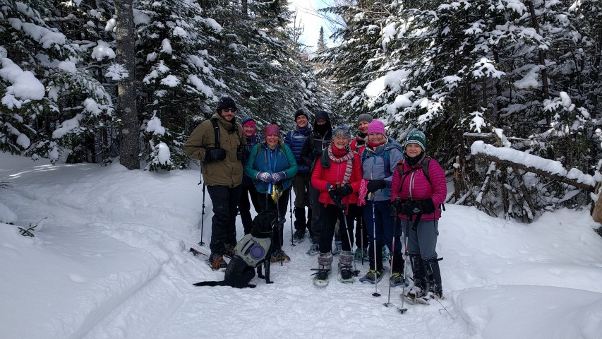
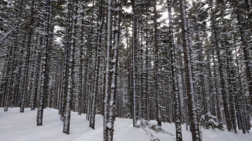
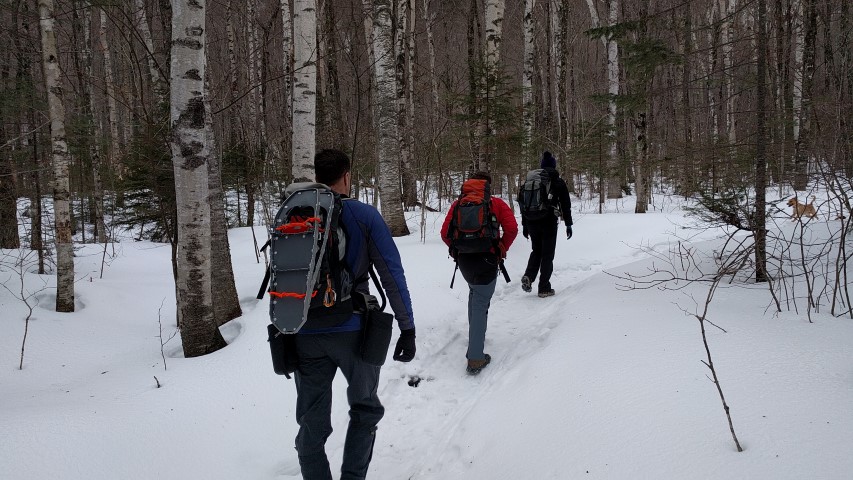
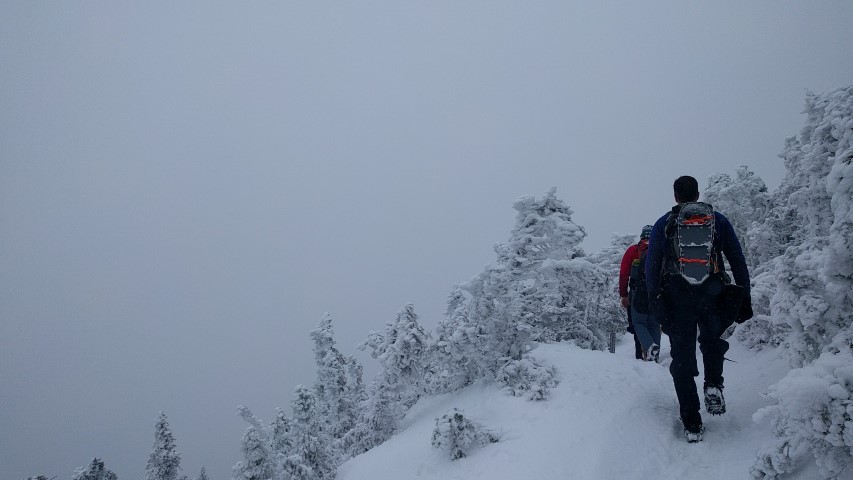
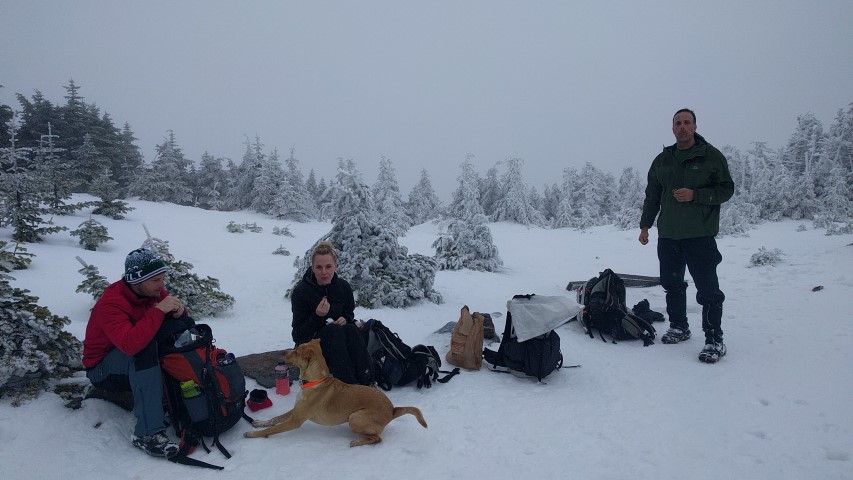
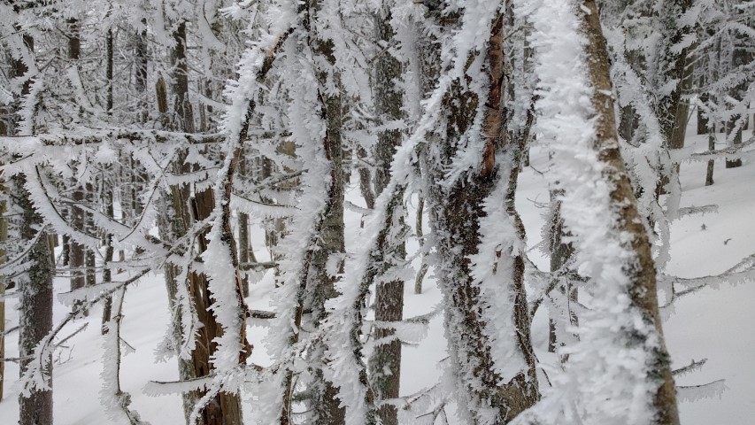
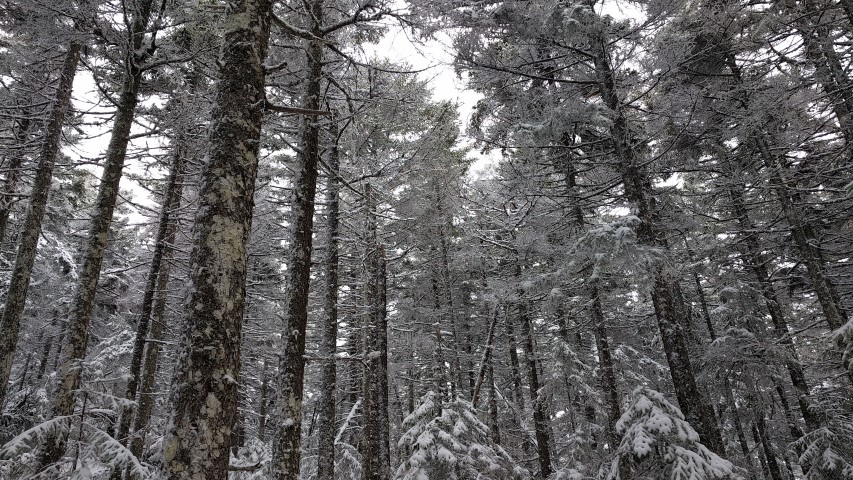
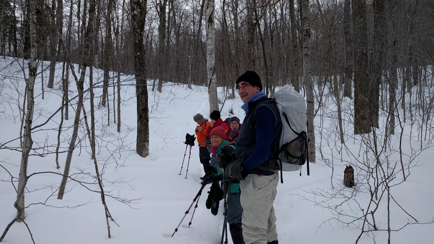
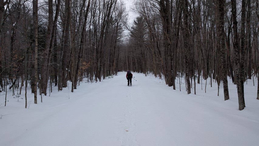
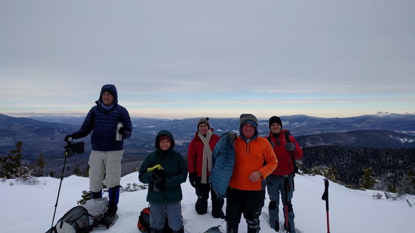
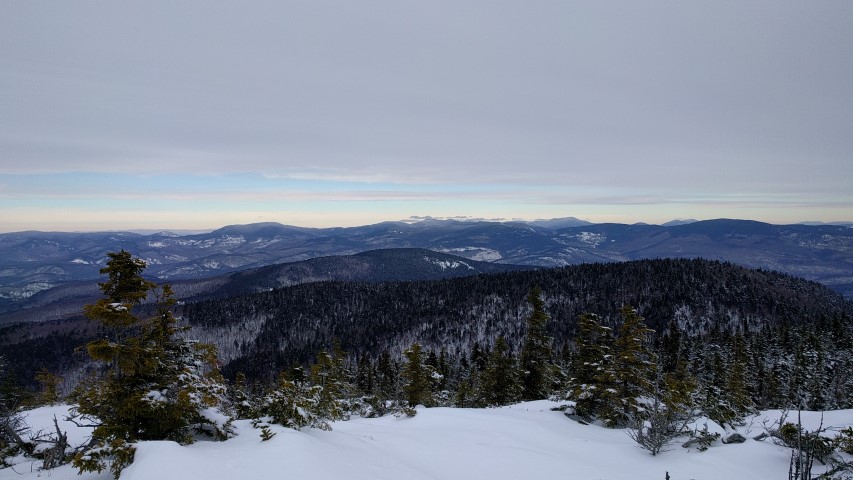
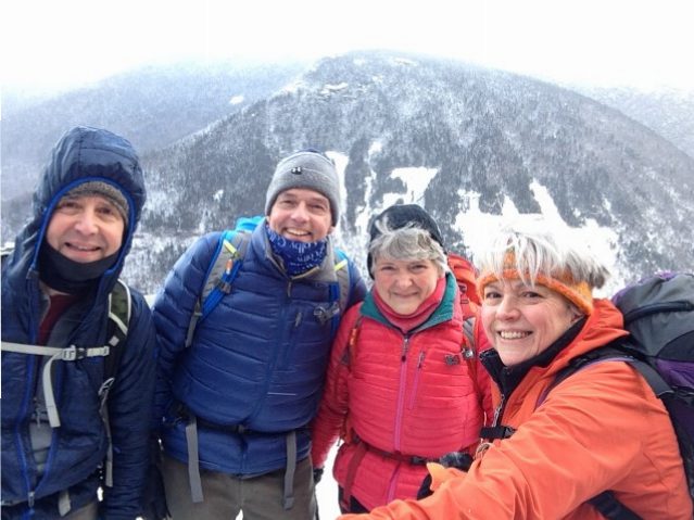
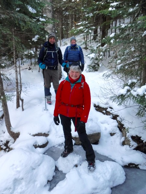
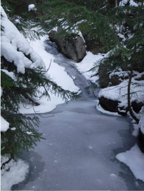
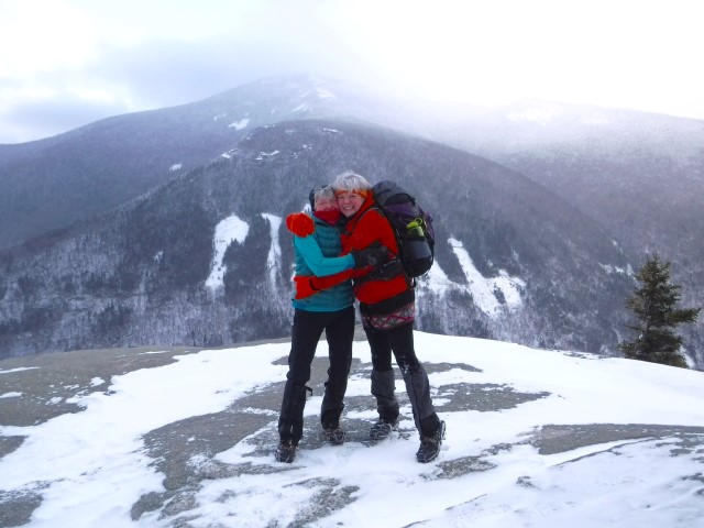
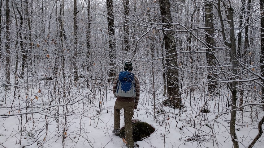
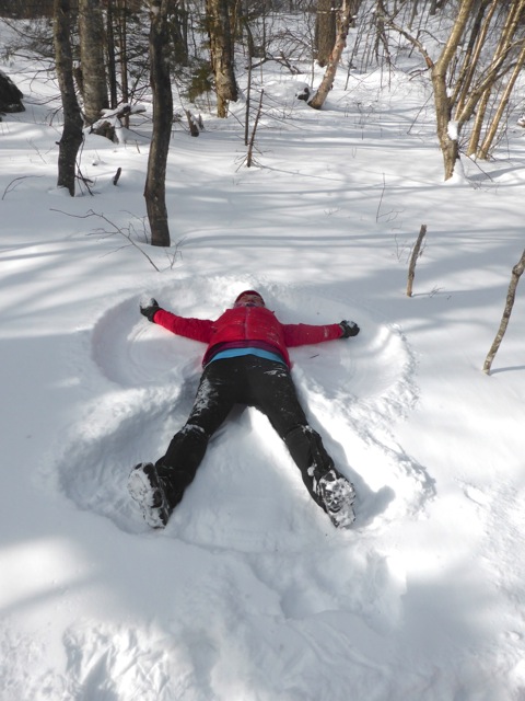
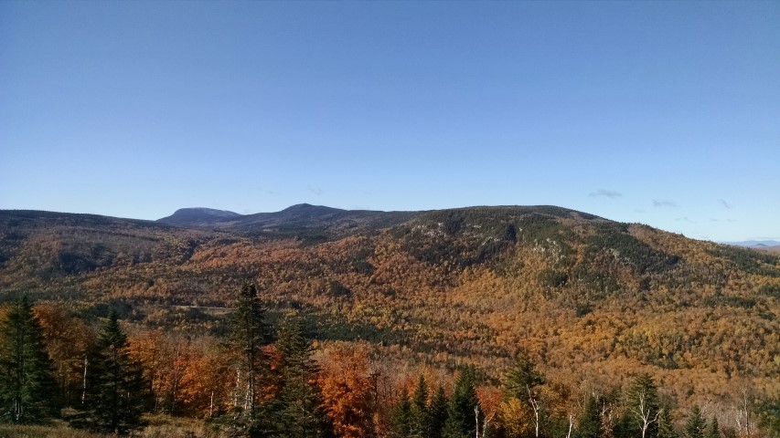
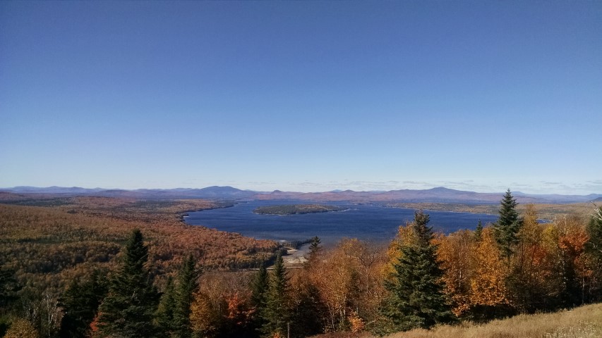
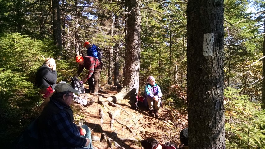
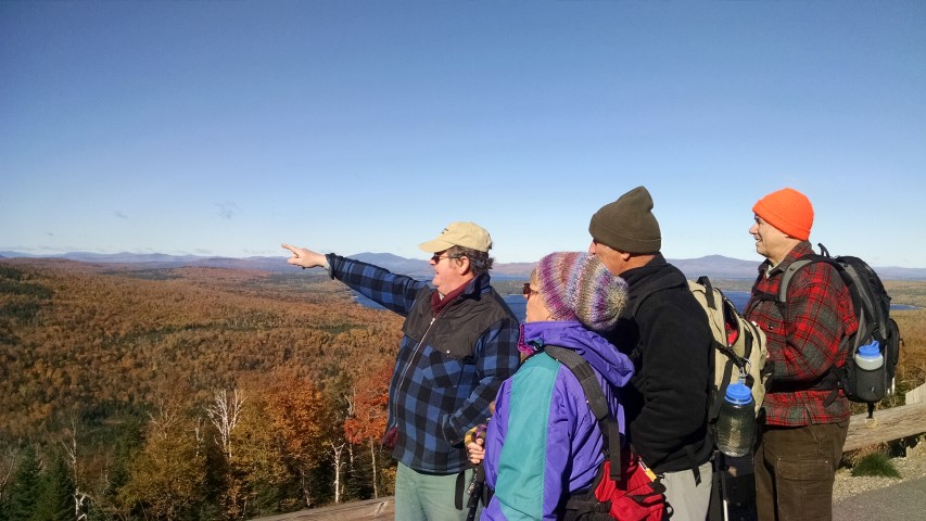
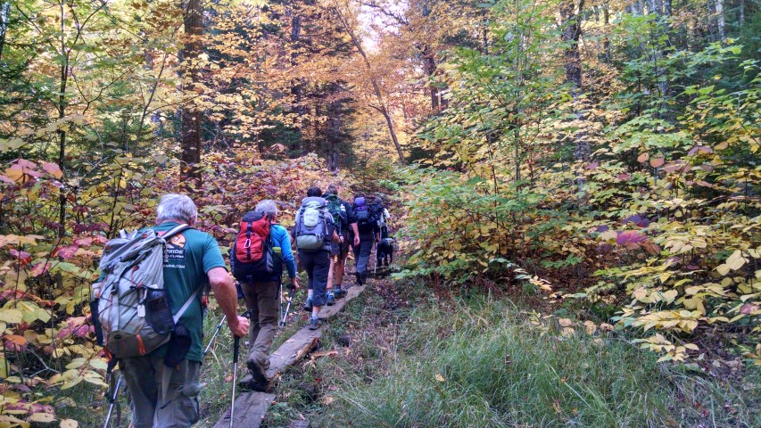
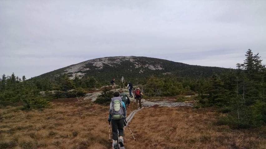
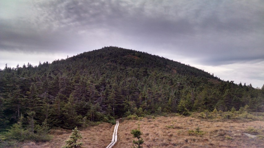
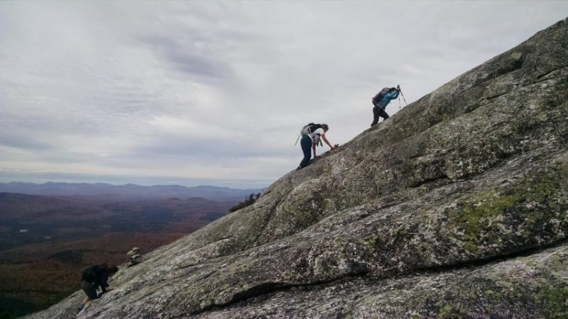
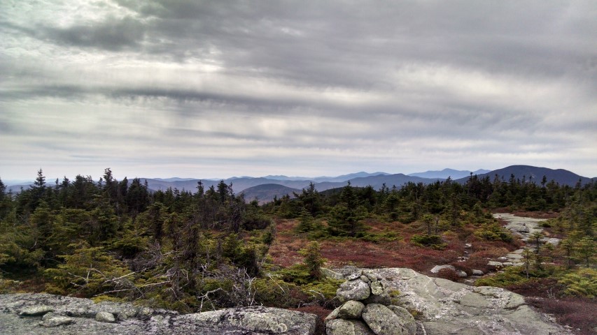
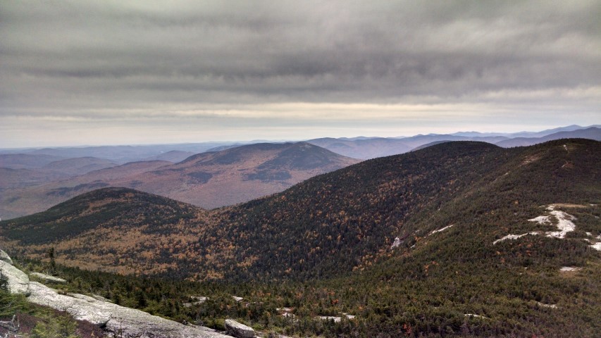
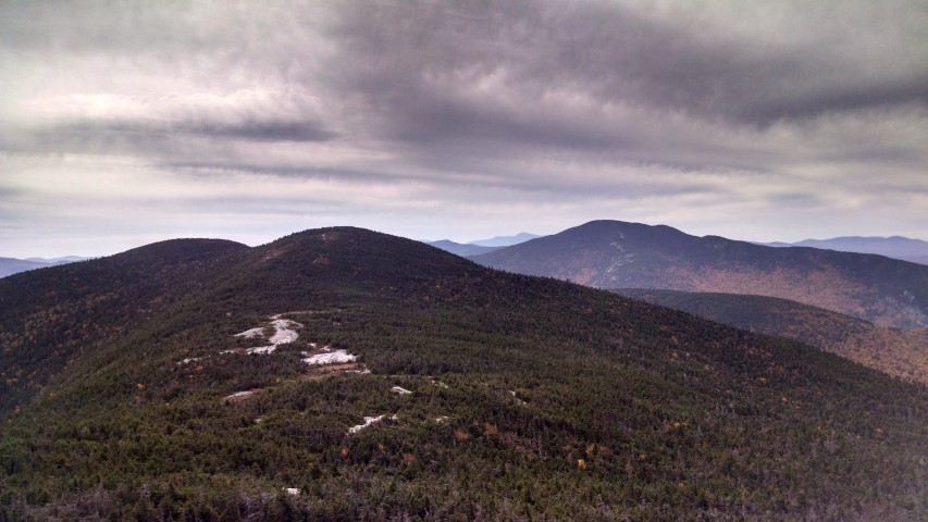
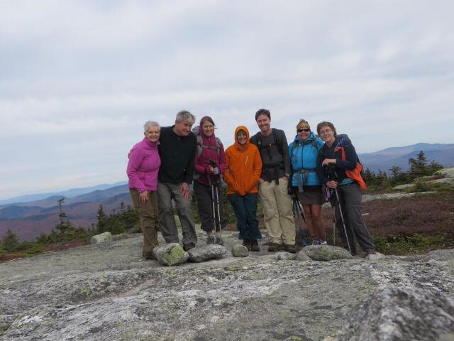
The Maine A.T. Land Trust’s latest Next Century hike took place over President’s Day weekend and featured a hike up West Baldpate Mountain (3,680 feet). The snow depth in Bethel, the nearest measuring station, was 79 inches and there was likely more than that in Grafton Notch. We hopped out of the car, strapped on the snowshoes and headed out with temperatures in the mid-30’s.
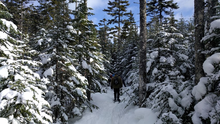
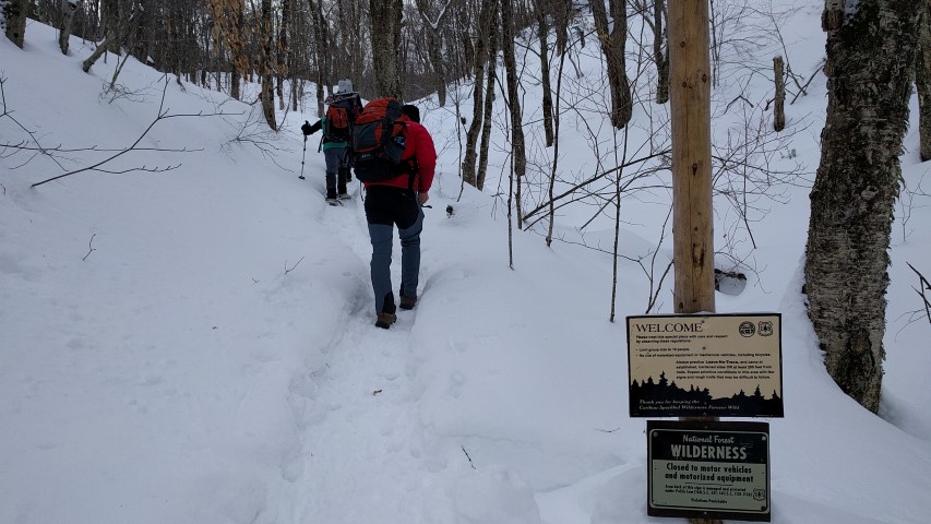
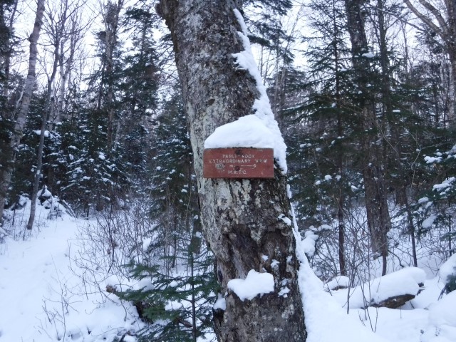
Our group was small (four total!) and we progressed quickly since the trail up to Table Rock had been broken out the day before. The snow was wetter than is typically experienced at this time of year, and it was hard going nonetheless. Everybody warmed up rapidly and there was some idea that maybe we should have worn shorts and less layers. Despite the conditions, we made great time. After the junction with the Table Rock side trail we were pleasantly surprised to find that the Appalachian Trail to the Baldpate summits was also broken out.
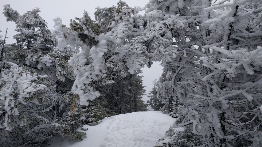
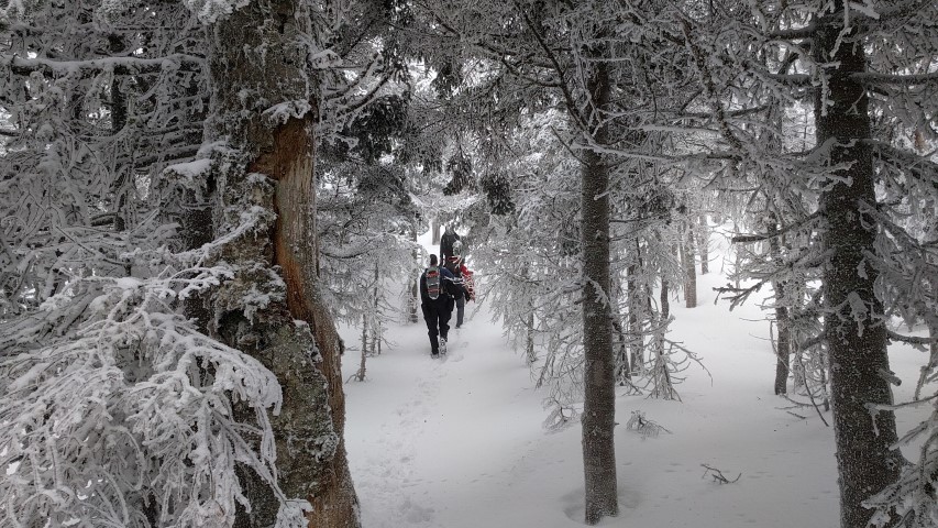
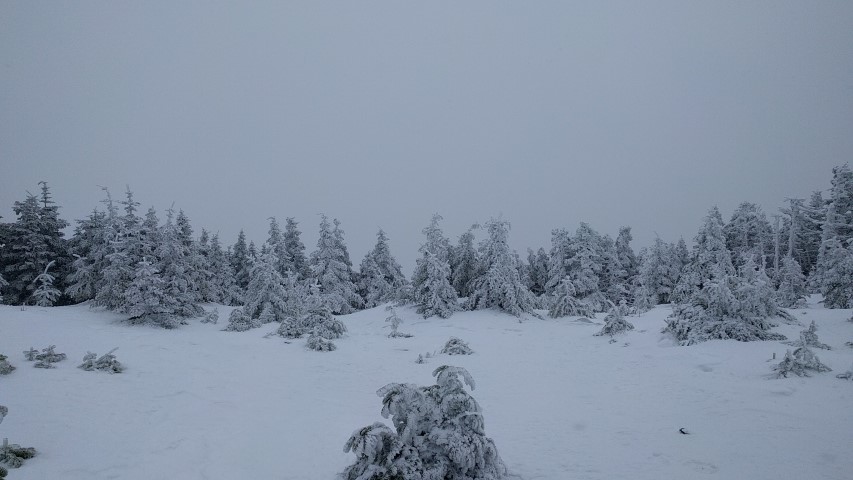
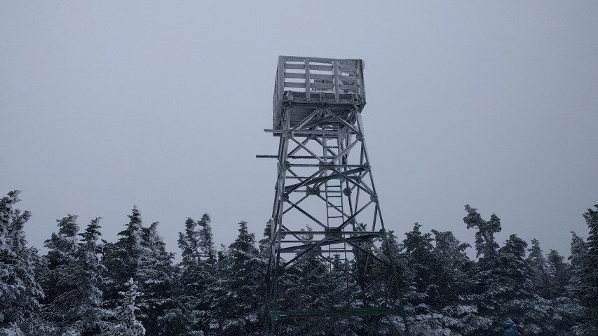
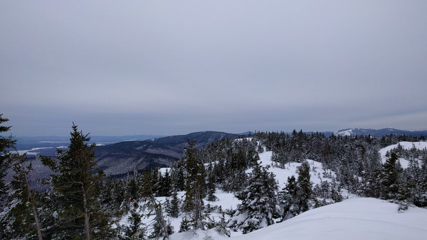
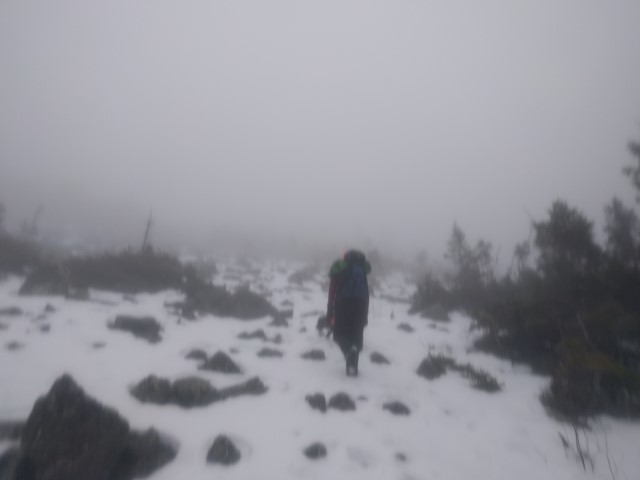
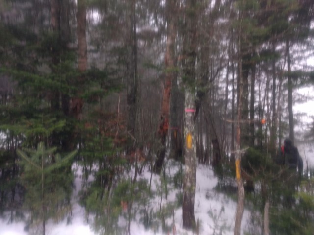
This proved to be critical as we reached the col alongside of Hedgehog Hill – here there were snowshoe trails through the open woods where a previous group struggled to find the trail since many of the white blazes (typically at eye level on trees) that mark the Appalachian Trail were buried by the deep snow. We were able to stay mostly on the trail and reach the summit in three hours. There, the warm temperatures at the lower elevations were replaced with snow showers, biting winds and bitter cold. Lunch would have to wait until we retreated from the summit. After a two hour hike down, we completed the hike in good order. It was another great day on the Appalachian Trail in Maine.
Check our calendar page for our March hikes, which will be posted shortly!


