Category: News

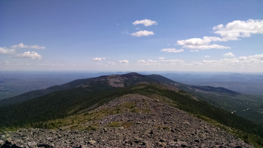
Old Speck!

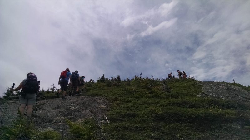
Summit of Old Speck..way up there.

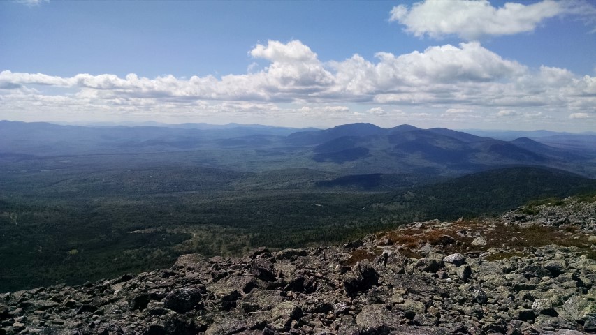
The land trust has decided on our next hike…Old Speck in Grafton Notch.  This challenging yet awesome hike will run via the Appalachian Trail for a total roundtrip hike of 7.6 miles.  The summit elevation is 4,170 feet – the fifth highest summit in Maine and the highest in the Mahoosucs/Grafton Notch area.  Despite the warm winter and foretasted warm conditions for next week, we are expecting deep snow at higher elevations and icy spots throughout – snowshoes and traction aids for the ice are a necessity.

The date of the hike will be Saturday, March 12th at 8am.  We will meet in the Grafton Notch parking lot on the west side of Route 26 where the A.T. crosses the road.  You must RSVP for this hike by emailing us at info@matlt.org, calling 207-808-2073, or by RSVPing to the Facebook event listing.

Here are some additional resources:

Maine Trail Finder

Grafton Notch State Park Map

Get in touch and come along!

LMF Board Approves Maine A.T. Land Trust as Co-Easement Holder

File photo of a Land For Maine's Future Board Meeting.
File photo of a Land For Maine’s Future Board Meeting.

At the most recent LMF board meeting, the members voted unanimously to approve the Redington Forest project structure that has been in place for the past year:  the U.S. Navy / Department of Defense will co-hold the easement with the Maine Appalachian Trail Land Trust, who will have stewardship responsibilities.

With this approval from the LMF board, we have surmounted a major hurdle on the road to getting the Redington Forest property conserved.  It is a little like taking a certification test – while there was never any doubt that LMF would approve, it is still something the land trust had to prepare for and be involved in to ensure that there were no issues.  We are glad to be able to proceed with the project and get it closed in the next half-year or so.  As we move towards the summer, we will have further updates on Redington.

Caribou Mountain Trip Report

Heading out.
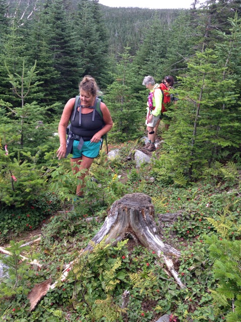
Typical trailhead preparations. One would think that this was a normal group of hikers.
…what are these strange forms of communication.
What TV show?
It was actually warmer on the ground in the snow.
Perfectly symmetrical snow angel.
Some people express joy at getting down the mountain in different ways.

By Deborah Carroll

In spite of warnings from friends and family regarding forecasted cold temperatures, a decision was made to move forward with our hike up Caribou Mountain the day prior to our trip.  The understanding however, was that if the weather did in fact prove to be too cold, even a mile into hike, the group would turn back.

Dressed in multiple layers of our favorite hiking duds, our happy herd of hearty hikers met at the trailhead at 9:00 in the morning on Saturday, February 13.  Though the temperatures were indeed hovering in single digits, the sun was shining, spirits were high, and we were all well equipped for a day of wandering in snowy woods.

Given the lack of significant snowfall, decisions were made to leave the snowshoes in the car and make the trek using just microspikes.  A decision that, except for a few very short sections where blowing snow had filled in previously shallow or packed areas of the trail, proved good.

Unlike a previous hike, we were able to park at the gate located about a half mile up the road past Pooh Corner Farm.  Our hike began with a relatively flat and short walk along a forest service road before the trail veered to the right and into a forest of mixed evergreen and birch, and our group fell quickly into a really nice pace.

After a mile or so of multiple, mostly frozen, stream crossings, and a few brief pauses to layer down, we began a mostly gradual ascent which took us to the “Caribou Speckled Mtn. Wilderness, WMNF” sign and, a little further on, to a trail junction in the Caribou-Gammon col where the trail turns sharply left and the final push to the summit begins.

Though the temperatures continued to hover in single digits, as per the thermometer dangling from one pack, the sun and lack of wind (combined with exertion and being well prepared) made for warm wanderings.  Still, we paused a few hundred yards from the summit to put on warmer layers.

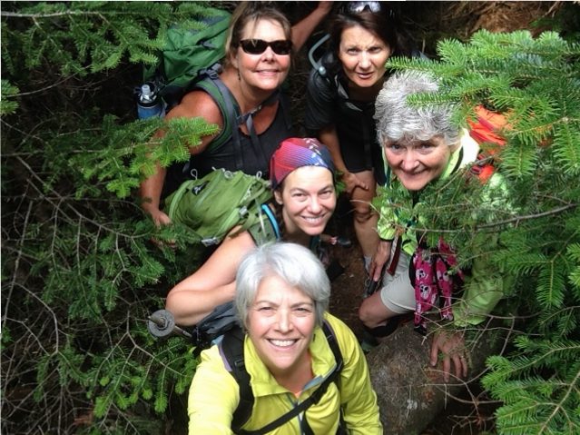
As one member of our party put it: “Walking onto the summit was like getting sand blasted with tiny ice particles.”  Though we didn’t check the thermometer, the temperature at the summit dropped drastically and the gusts of winds whipped us about.  Needless to say, after snapping a few quick group selfies that left us with frigid fingers and USGS marker group boot photos (a tradition with members of this group) we headed back down to the quiet stillness of the col to eat our lunch, make snow angels, and do a headstand (another tradition).

After the wildly windy and super chilled summit, the walk out of the woods felt positively balmy and, as we did on the way up, we stopped a few times to admire ice flows and vistas, chat, and play at pretzel tree.

No trip up the north side of Caribou would be complete without a post-hike visit to Carol in her flower and gift shop at Pooh Corner Farm, and so we did before saying goodbye to the old and new friends who had shared a cold, snowy, and memorable “Great Maine Outdoor Weekend” adventure.

Great Maine Outdoor Weekend Caribou Mountain Snowshoe Hike

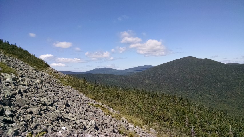
The view from Caribou.

Our next hike will be for the Great Maine Outdoor Weekend on Saturday, February 13th at 9am.  We will be heading up Caribou Mountain in the White Mountain National Forest.  While the mountain is not directly on the Appalachian Trail it is on Forest Service land (like much of the A.T. landscape to the south) and there are great views of areas where the trail passes to the west and north.  Plus it is one of our favorite snowshoe trips!

General directions to the trailhead can be found here, on the White Mountain National Forest website, and here’s the link to the map.  We will be taking the Caribou Trail from the east trailhead, which is 2.8 miles down Bog Road off Route 2 in West Bethel.  Many guidebooks only describe this trail from the Route 113 side in Evans Notch, so be careful!  The hike is relatively moderate for most of its length and the distance to the summit is 3.1 miles.  We will meet in front of Pooh Corner Farm where a few parking spaces have been plowed.  There will be an update on trail conditions later this week, but as of yesterday some kind of traction aid like stabilicers or microspikes seemed to be best for getting to the top.

Feel free to contact us at info@matlt.org or 207-808-2073 if you have any questions.  You must RSVP for this hike!  When entering a Forest Service wilderness area, the limit per group is ten people.

Here is the full listing:  Great Maine Outdoor Weekend Caribou Mountain Snowshoe Trip

Conservation Champion Bob Cummings Passes Away

Bob Cummings at the end of his 1993 Appalachian Trail thru-hike.

If you have seen the Press Herald article about Bob Cummings, a founding director of the Maine Appalachian Trail Land Trust, you might have read it and thought, “wow, I can’t believe the life this guy had, how did he do all of this?”.  Most people know Bob, who passed away on Saturday, from his 1972 report on what are today known as Maine Public Reserved Lands, which led to two Pulitzer Prize nominations.  Bob’s obituary (which he wrote himself) provides even more in the way of fascinating detail – from his report on tidal dams in Nova Scotia, to the development of a tax assessment system for Phippsburg, to his championing of environmental regulations at a time when other reporters wouldn’t touch those issues with a ten-foot pole.

Undeterred by the weather on a hike in recent years.

Even the litany of awards and citations from environmental and press organizations – enough for roughly ten people – do not capture the full depth of what Bob’s accomplishments as a journalist and environmental mean to the State of Maine.  The public reserved lands do not consist solely of the Bigelow and Mahoosuc preserves – if you look at this map you can see the full scale of what began with Bob’s articles in 1972.  Every speck of dark green on the map – including the ones that are not labelled because there are too many to give names to all of them – has been created for the public.  Open your Maine Atlas and Gazetteer to almost any page and you will find a piece of land labelled “MPRL” which stands for – you guessed it – Maine Public Reserved Land.

Bob retired in the early 1990’s but remained active in Phippsburg politics and with state conservation organizations.  He continued to serve as president of the Phippsburg Land Trust (which he helped to found in 1974) and helped to found this land trust in 2002.  Along the way he hiked the entire Appalachian Trail, which led to his involvement with Appalachian Mountain Club and the Maine Appalachian Trail Club.  He was maintainer for the White Brook Trail on White Cap Mountain for twenty-five years – a notoriously rough and remote trail.  This was in keeping with Bob’s lifelong enthusiasm for getting out on the lands he championed.  Mention of Bob Cummings in any professional or social setting often led to somebody retelling stories of trips taken with him and the narrow misses that ensued.

His dedication in later years to the protection of the Appalachian Trail landscape was unmatched and his vision of the trail will resonate for years to come.  Bob will be sorely missed for his principled support of Maine’s natural environment, his thoughtful insights, and his sense of humor.  His legacy will live on for years to come.

We will have a more extensive report on Bob’s life in the Winter 2016 newsletter, which will be out in February.


Maine A.T. Land Trust Receives Grant from Maine Community Foundation

IMG_20150625_135128479
Stewardship work in Redington Forest.

The Maine Appalachian Trail Land Trust has received a grant of $5,700 from the Fund for Maine Land Conservation of the Maine Community Foundation for property planning, baseline documentation, stewardship training for volunteers, and stakeholder outreach for two projects along the Appalachian Trail in Maine.

“Stewardship is one of the most important land trust needs, but it’s often the most difficult to fund,” said Simon Rucker, Maine A.T. Land Trust Executive Director.  “Good land trust practices start and end with stewardship of the lands we have been entrusted to care for.  This grant will ensure that we will be able to take care of these properties for public use for years to come.”

Volunteer Easement Monitor Mike Morrone on Mount Abraham.

With offices in Ellsworth and Portland, the Maine Community Foundation works with donors and other partners to improve the quality of life for all Maine people.  To learn more about the foundation, visit www.mainecf.org.

Prescribing Nature

The video above (courtesy of Nature Rx, which is dedicated to promoting the healing aspects of nature) relies on humor to get the message across – but that doesn’t mean there isn’t some important truth in that message.  More and more research is showing what many people already assumed: that there are quantifiable benefits to nature and these benefits can be measured as accurately and as scientifically as the benefits of medication.

These are not theories based on hunches by people who already hike, bike, ski and spend time outside.  They are researched-based analyses and they go hand in hand with a growing body of literature elucidating the idea that the external world has an influence on the mind of each of us.

As we head into 2016, The Maine Appalachian Trail Land Trust would like to encourage all of you to be well and get outside for a little bit of this healing power provided by nature.  Obviously the Appalachian Trail can provide an enormous dose of nature, but every little bit helps.  Find a park or open space to visit during the holidays.  Walk around.  Look at some birds and trees.  Breathe.  See what’s up in the sky.  Nobody ever says “I wish I hadn’t gone for that walk in the woods today.”

Appalachian Trail Large Landscape Conservation Conference


The National Park Service and the Appalachian Trail Conservancy recently held an important gathering of conservation organizations from all of the regions which encompass Appalachian Trail lands.  The purpose: to find a path towards coordinated conservation of the landscapes around the footpath that traverses some 2,184 miles of the Appalachian Mountains from Georgia to Maine.  The National Park Service Foundation documents focus on aspects of the A.T. corridor that have not been highlighted in the past:  cultural and historic resources, climate change, healthy lifestyles and more.

This was an important gathering because the National Park Service is calling for a Scaling Up of land conservation in response to the latest data in scientific fields as diverse as ecology, psychology, cognitive studies, engineering, climatology and more.  The Maine Appalachian Trail Land Trust is excited to be working in this landscape as we head into a new era for large landscape conservation on the Appalachian Trail.


Easement Monitoring

Boundary marker pin laid by a surveyor.
Easement area marker.
Yellow blazing along the National Park Service corridor.
Interesting ice formation coming out of a rotting log.
Red blazing along the Bigelow Preserve boundary.
View of the mountains east of Flagstaff Lake.

Fall is the time of year when many land trusts fulfill stewardship obligations.  Summertime hikes have ended, the leaves are off the trees (providing for increased visibility), and snow has yet to lay deeply on the ground.  Why is this important?

As you can see from the slideshow above, many land trust properties in Maine and elsewhere have boundary markers in the woods, and these markers are most visible during the fall.  Part of stewardship – taking care of held properties by ensuring that the conservation values continue to be protected – is making sure that the boundaries are marked and that there are no encroachments or actions prohibited by the easement or management plan (like the dumping of garbage).  The photos you see here were taken on one of our smaller conservation easements along the Appalachian Trail.  We also hold fee and easement properties that are very large – in the thousands of acres – and in that case, a sampling of boundary areas is taken.

The landscapes we protect are also very beautiful and getting out for a monitoring visit is a rewarding experience.  If you are interested in accompanying staff on a monitoring hike, please let us know!

Redington Forest Report: Into the Ecological Reserve

Black Nubble.
Forest on the Crocker Mountain plateau – a mix of hardwoods and softwoods.
Pete McKinley, Maine A.T. Land Trust Vice President, puts his scientific skills to good use.
High-elevation spruce-fir forest.
Former log landing from timber harvesting operations.

The land trust paid the season’s final visit to the Redington Forest property in the High Peaks region in mid-November.  This area has a great variety of ecological zones which includes brook trout streams, upland wetlands, ponds, forests of all types and mountainous terrain.  The last category includes an area which covers most of the Crocker Mountain range and which will be classified as an ecological reserve area once the project is complete.  It is to this area that Pete McKinley, land trust Vice President and Wilderness Society ecologist, and Simon Rucker, land trust Executive Director, headed to a few weeks ago.

The area is difficult to access, and after leaving the truck when it could go no further, the two eventually left the logging roads at approximately 2700 feet and proceeded up through former harvesting areas to a large area of Aspen-Birch Forest on the shoulder of Crocker Mountain.  According to Maine Natural Areas Program Ecologist Andy Cutko, there was probably a forest fire on this plateau roughly 60-70 years ago, resulting in the glade of aspens with an understory of spruce and fir (see photo above).  There was evidence of charcoal in the soil on this visit and the forest is in great health as it regenerates.  It is a prime area for game and is truly a special spot.

At about 3,000 feet in elevation, after reaching the subalpine forest area, the rain showers that had lingered for most of the day turned to sleet and the two decided to turn back.  The weather conditions at this time of year prevent extended field study, and there was a hike of approximately two miles to get back to the truck.

There’s much more to be studied and documented at Redington Forest no matter which season.  Check our website and we’ll have a winter update in the New Year.