Only vote if you want to come! Update: this hike will take place on July 25th.
Category: News
Redington Forest Stewardship Report
Note: Redington Forest remains private property until the acquisition of the conservation easement. Please respect the landowner’s rights until public access is granted.
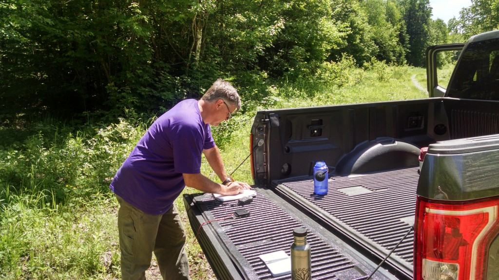
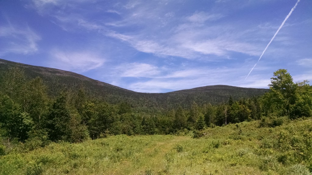
Maine A.T. Land Trust Vice President Pete McKinley and Executive Director Simon Rucker headed up to Redington Forest for a second stewardship visit for work related to the conservation easement on the property. The first visit was an overview trip of the property to review access and the conditions of roads, bridges and culverts on the property. This second visit was taken with the intent to start exploring the conservation values of Redington Forest, in particular the eastern portion of the land and its high-elevation forests.
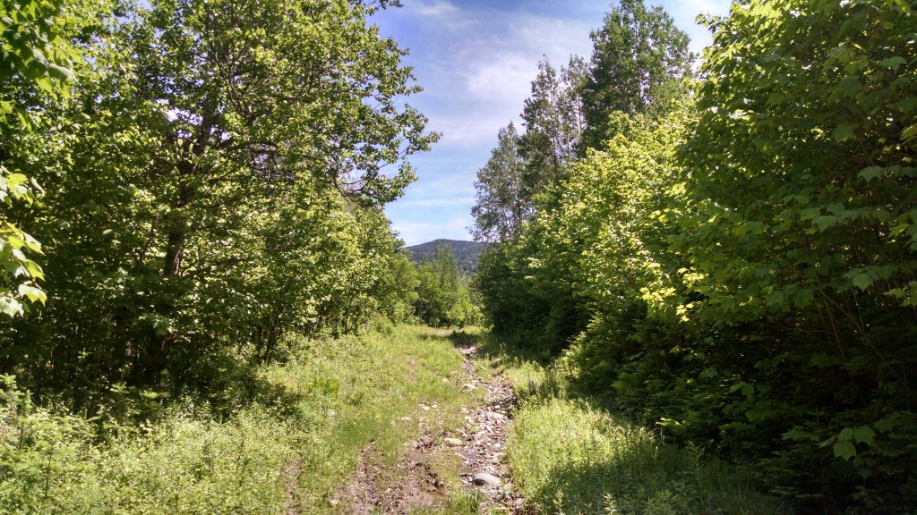
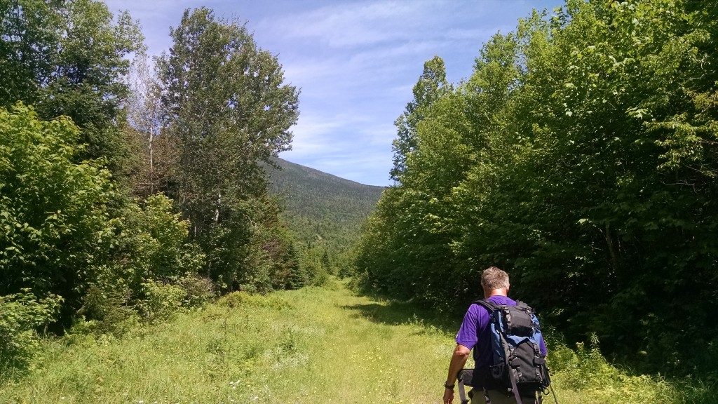
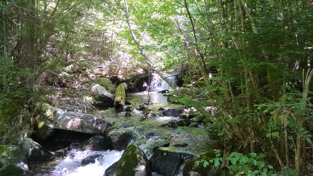
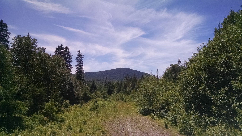
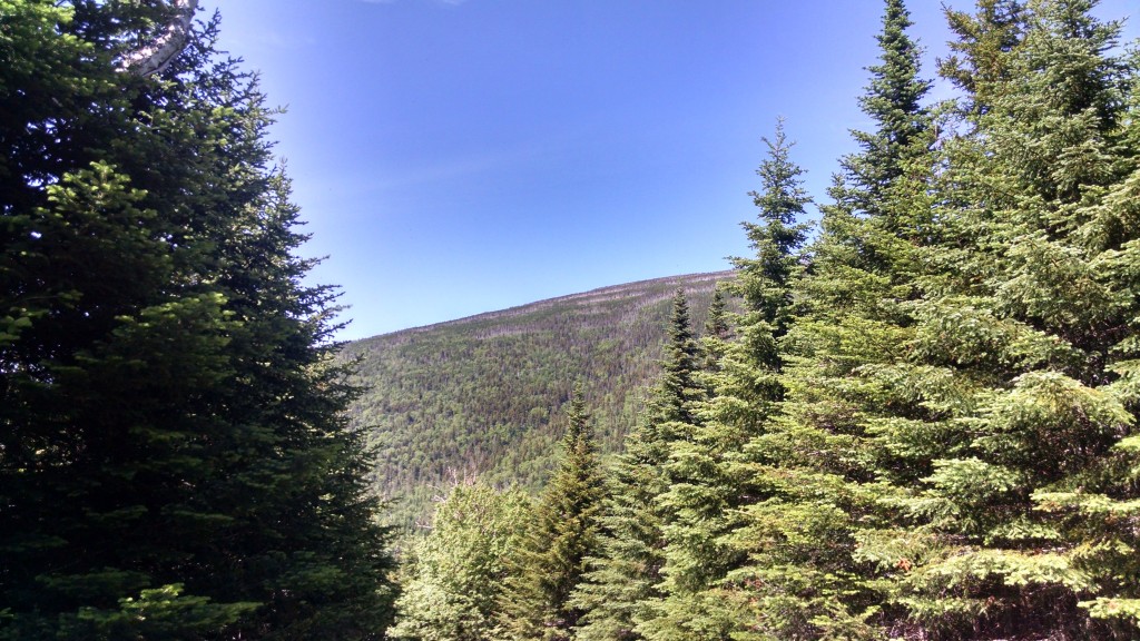
McKinley and Rucker navigated a complicated set of logging roads to reach an abandoned road leading to Appalachian Trail lands up and to the east, where they proceeded on foot. Many of the roads at Redington are well on the way to reverting to “herd path” status and provide for a nice hiking experience. The paths show signs of use by black bear, moose, white-tailed deer and other species. There are many vernal pools. McKinley was pleasantly surprised by the health of the forest as they headed up in elevation to areas above 2,700 feet. The numerous streams flowed back to the main branch of Nash Stream through steep ravines lined with poplar (aka big-toothed aspen) and spruce. There were groves of tamarack and yellow birch as well.
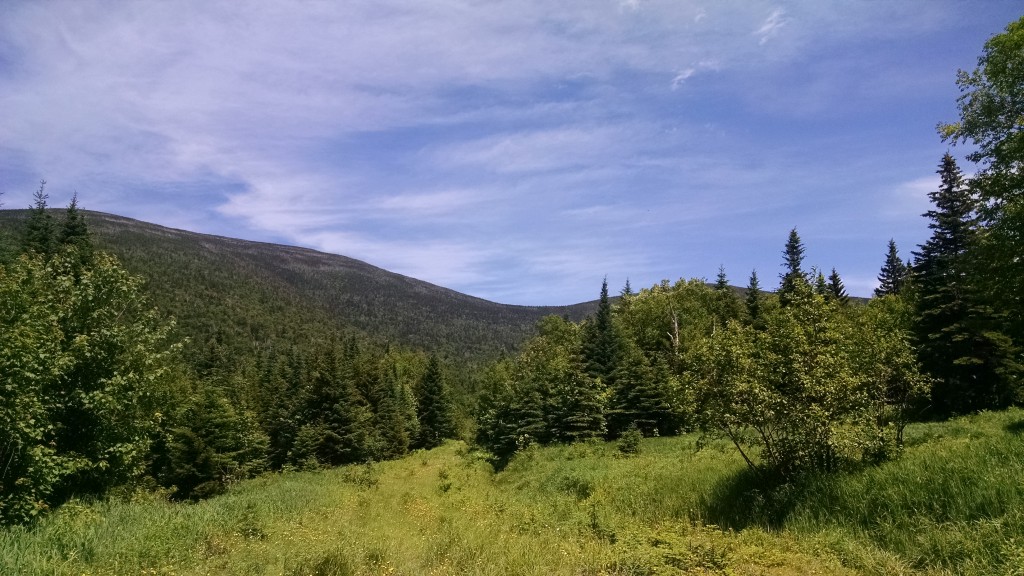
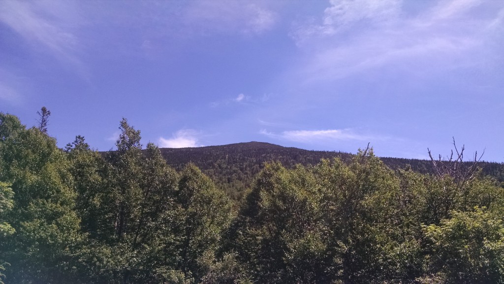
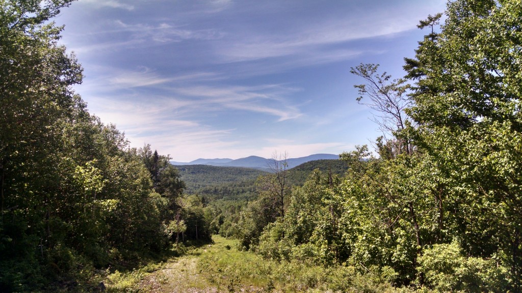
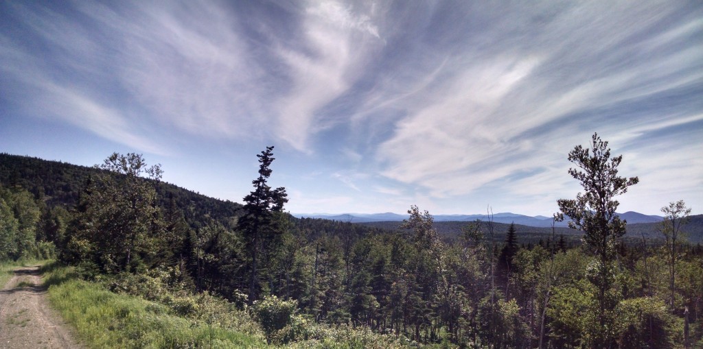
As the elevation increased, there were sightings of spruce grouse and the forest type transitioned to spruce-fir. This area borders the State of Maine’s Crocker Mountain Ecoreserve area and under the Redington Forest conservation easement, this area would have a similar reserve status. The presence of numerous species of ecological importance, such as Boreal Chickadee, indicated to McKinley and Rucker that Redington Forest was indeed a special property. This notion was supported by a nice day hike and numerous spectacular views of the Crockers, Mount Redington, Black Nubble and other peaks all the way to Quebec.
List of bird species present:
Swainson’s Thrush, Black-throated Green Warbler, Spruce Grouse, Golden-crowned Kinglet, Boreal Chickadee, American Redstart, Magnolia Warbler.
Little Bigelow Trip Report
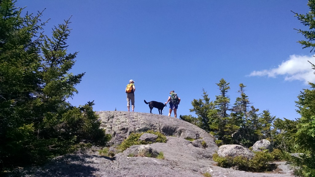
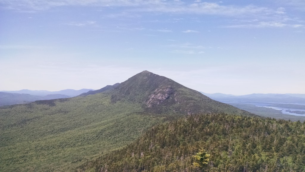
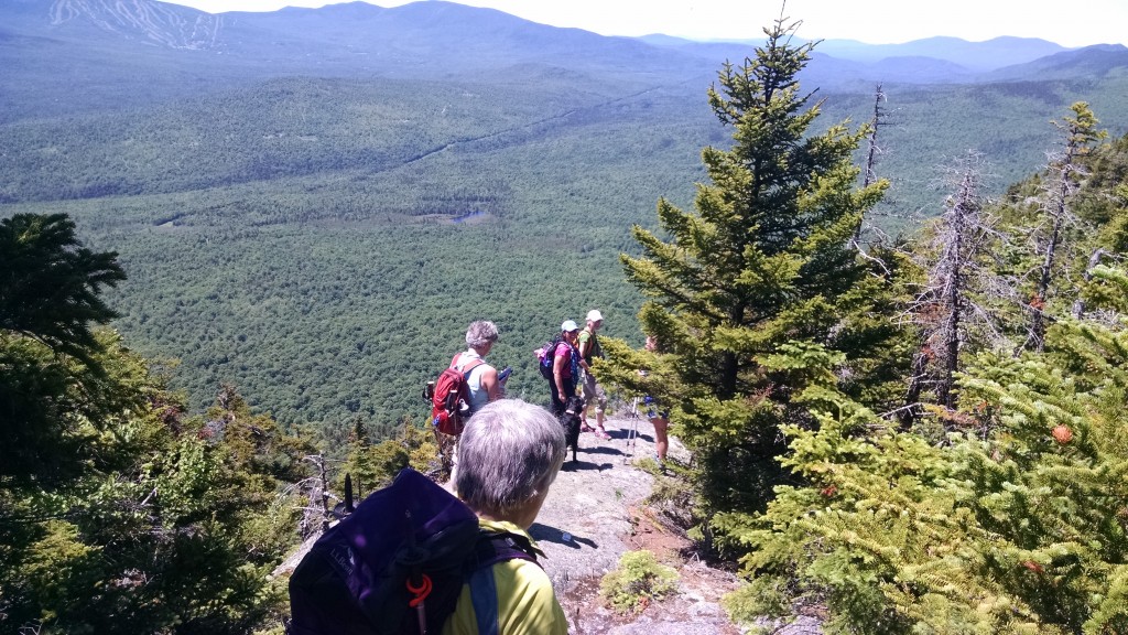
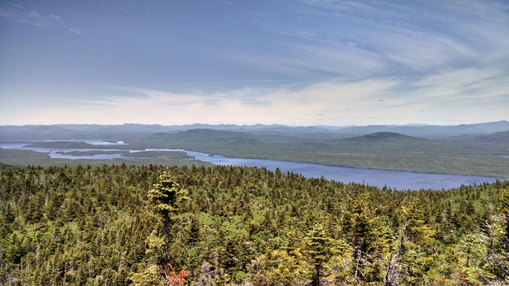
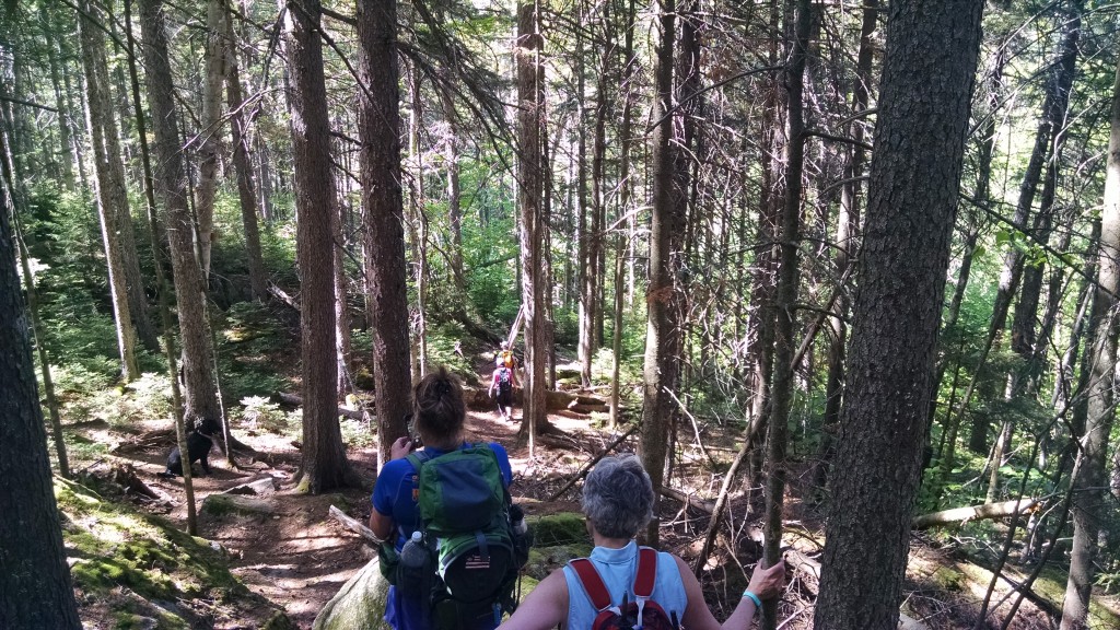
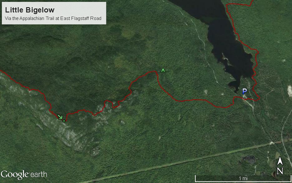
Executive Director Simon Rucker and a group of six (Cindy, Jeanine, Terri, Debi, Deb and Shyla the dog) headed up Little Bigelow Mountain on a beautiful mid-June day recently. The goal was to reach the summit, listed variously at 3,040 feet or 3,070 feet depending on the source (more on that later…). Little Bigelow is a bit of the forgotten little brother in the Bigelow Range, being separated by the main ridge by the cleft in Safford Notch, but as you can see from the photos it is a nice mountain with spectacular views in all directions.
We met at the Appalachian Trail trailhead at East Flagstaff Road and were quickly on our way, since this was a group of seasoned Maine hikers, a few of whom had climbed Little Bigelow before. The trail followed a brook until reaching the Little Bigelow Lean-to side trail. There’s a swimming hole called “The Tubs” here but we decided to bypass the location in favor of heading to the summit.
Little Bigelow Mountain is actually a long ridge and we reached the first peak after just over an hour and a half of hiking and less than three miles in distance. Rather than stop there, the group elected to head to the true summit of Little Bigelow which is at the northwestern end of the ridge. From various guidebooks and sources, it seemed like the length of the ridge was about half a mile, but the true distance was probably over a mile. This turned what was expected to be a 6-7 mile hike into a hike of somewhere over 9 mile!
It was well worth it in the end. The first peak of Little Bigelow has spectacular views of the Crockers and Sugarloaf to the southwest, while the second peak has northerly views of Flagstaff Lake, the Boundary Mountains and even a faint glimpse of Katahdin (with the help of PeakFinder and a pair of binoculars). The pleasant weather and lack of bugs, for the most part, made our descent easy and left enough time for Shyla the dog to splash around on the way back.
Thanks for a great day everybody!
Little Bigelow Hike on June 20th
Our poll is now closed and our latest and greatest A.T. hike will take place on June 20th – we will be tackling Little Bigelow, the long, lower peak at the east end of the Bigelow Range. Perfect hike to bring your dad on the day before Father’s Day!
This hike is approximately 6-7 miles in length (3.0 miles to the initial peak and 3.5 to the true summit of Little Bigelow) and should take from 5 to 6 hours start to finish. It features spectacular views of the Bigelow Range, Flagstaff Lake and the High Peaks of Western Maine. On the way back we have the opportunity to stop at the Little Bigelow Lean-to and the watering hole (“the Tubs”) where the brave among us can take a swim. Maine Trail Finder rates it as a Moderate to Advanced hike.
The trailhead can be reached by taking Maine 16 to North New Portland, where Long Falls Dam Road begins. Take Long Falls Dam Road for 17.4 miles, and then take a left on Bog Brook Road. After 0.7 miles take the left fork onto East Flagstaff Road (the right fork dead ends at Flagstaff Lake). There is parking in the gravel pit on the right just before the A.T. crossing 0.1 miles after the fork.
Please read up on Little Bigelow at Maine Trail Finder and at the Bigelow Public Reserve Land website (which has a printable map in the sidebar). And as always, please contact us with any questions.
We will be meeting in the parking area at 10:00am on Saturday, June 20th. You must RSVP for this hike by contacting us at info@matlt.org or by calling 207-808-2073!
New Redington Forest Photos
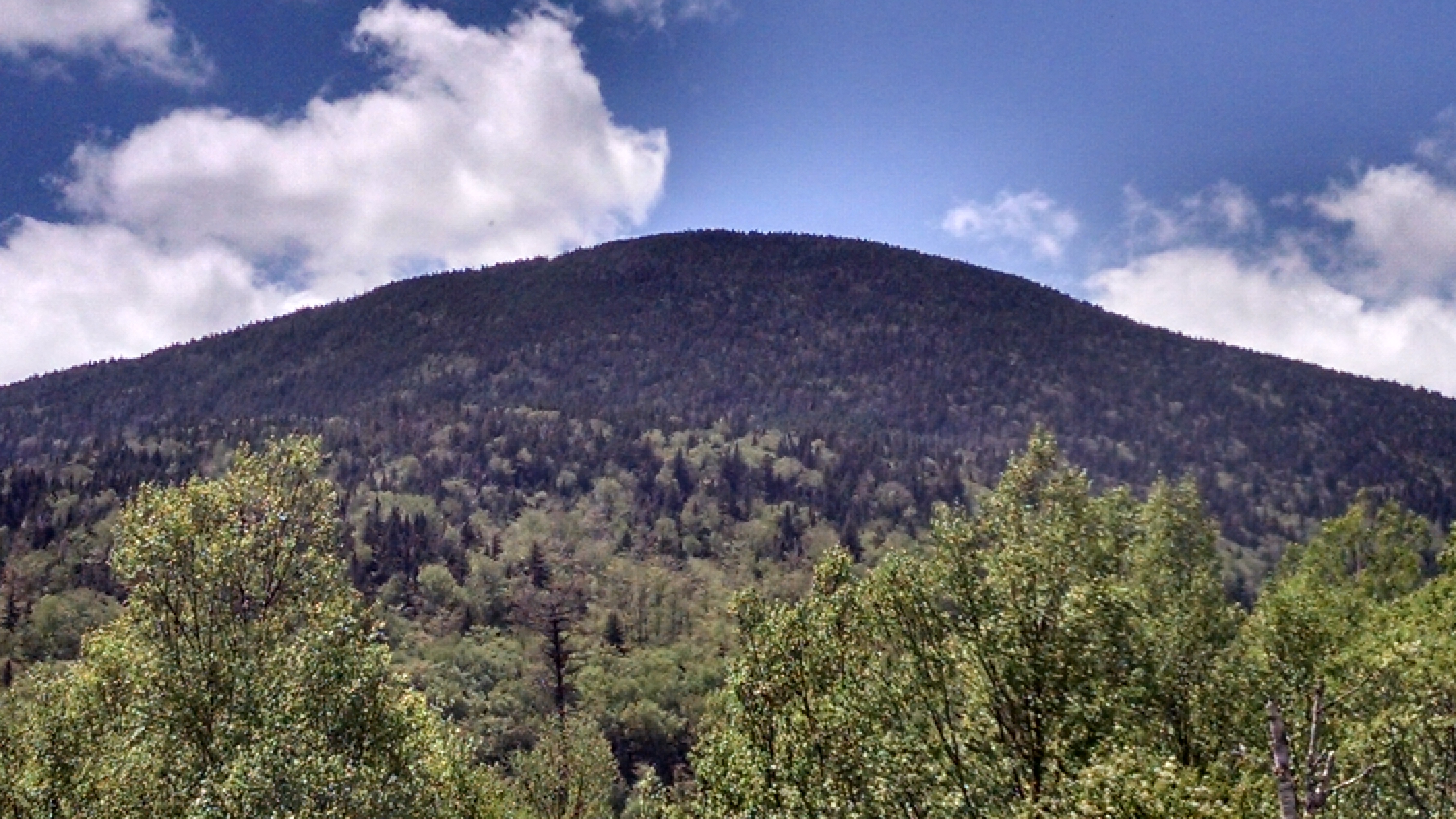
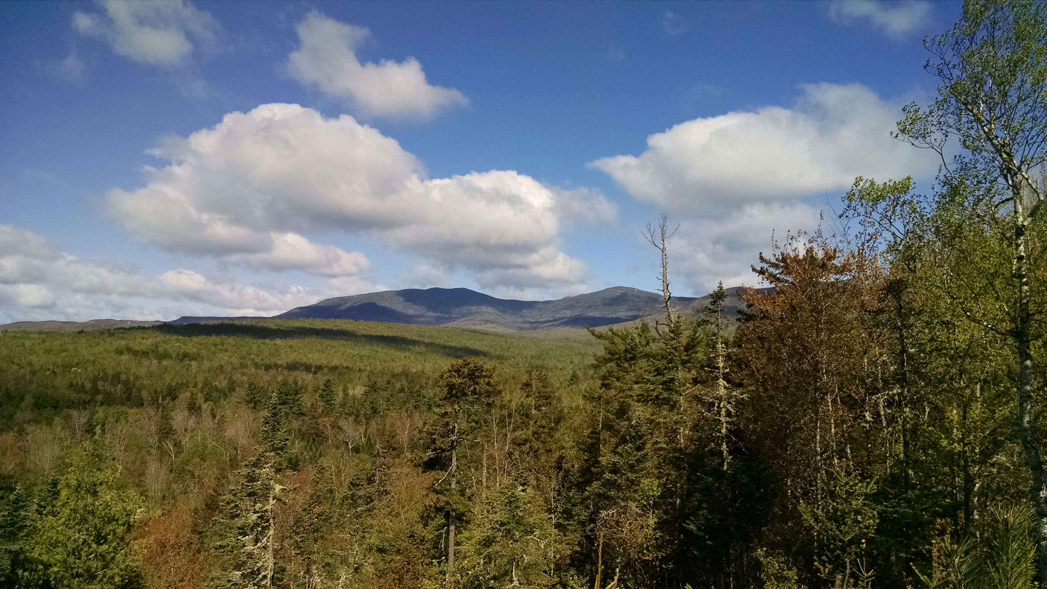
Maine A.T. Land Trust Director Tony Barrett, Executive Director Simon Rucker and Trust for Public Land Project Manager Gregg Caporossi made an site visit to the Redington Forest property last week. As you can see from the photos, the land is covered in vast forests which are crossed with numerous streams.
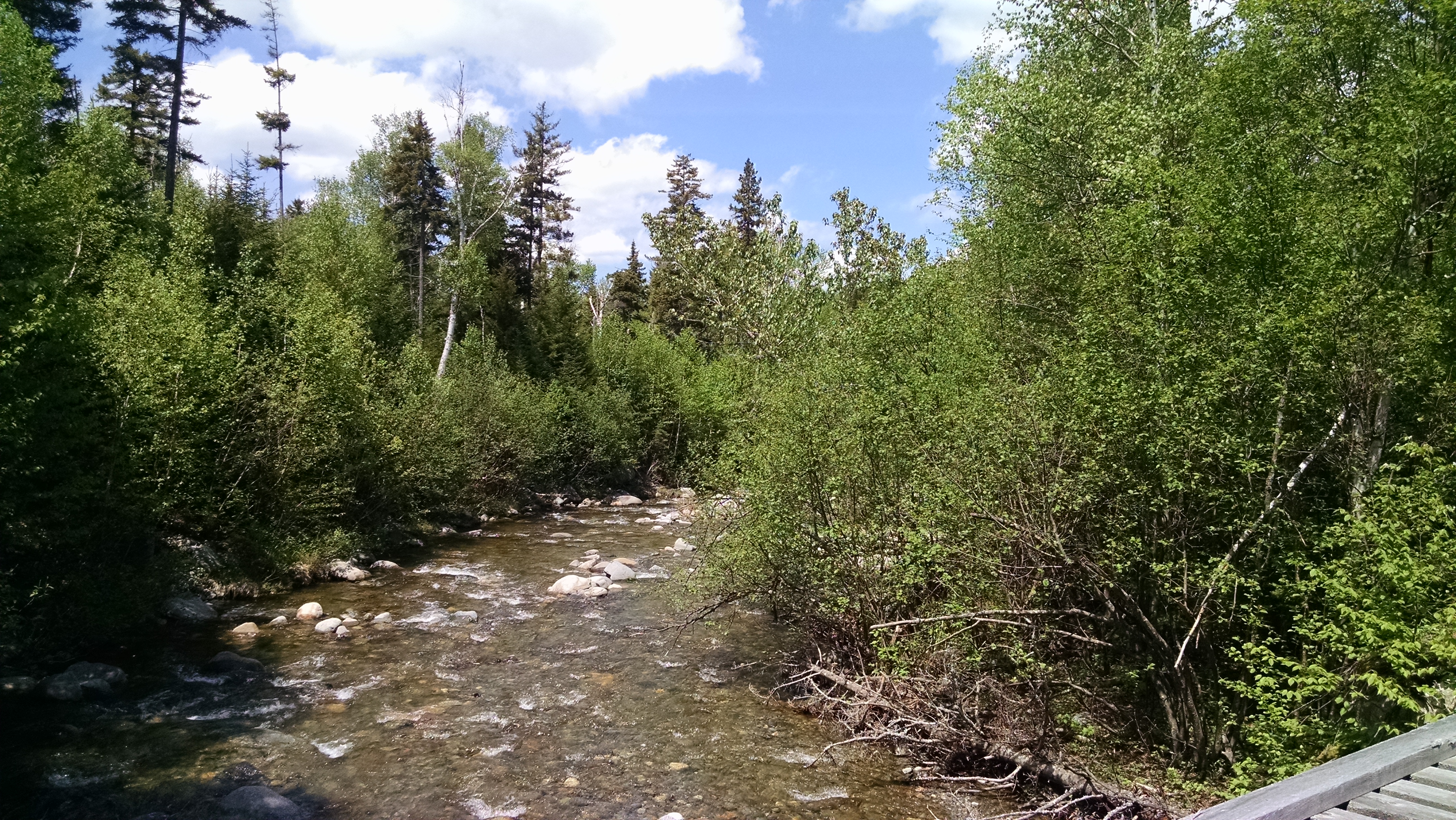
The roads were in fairly good shape and the bridge crossings were the cause of only minor heart attacks. Nash Stream varies in size from a rivulet a few feet wide in the north to a major stream – almost a river – in the south.
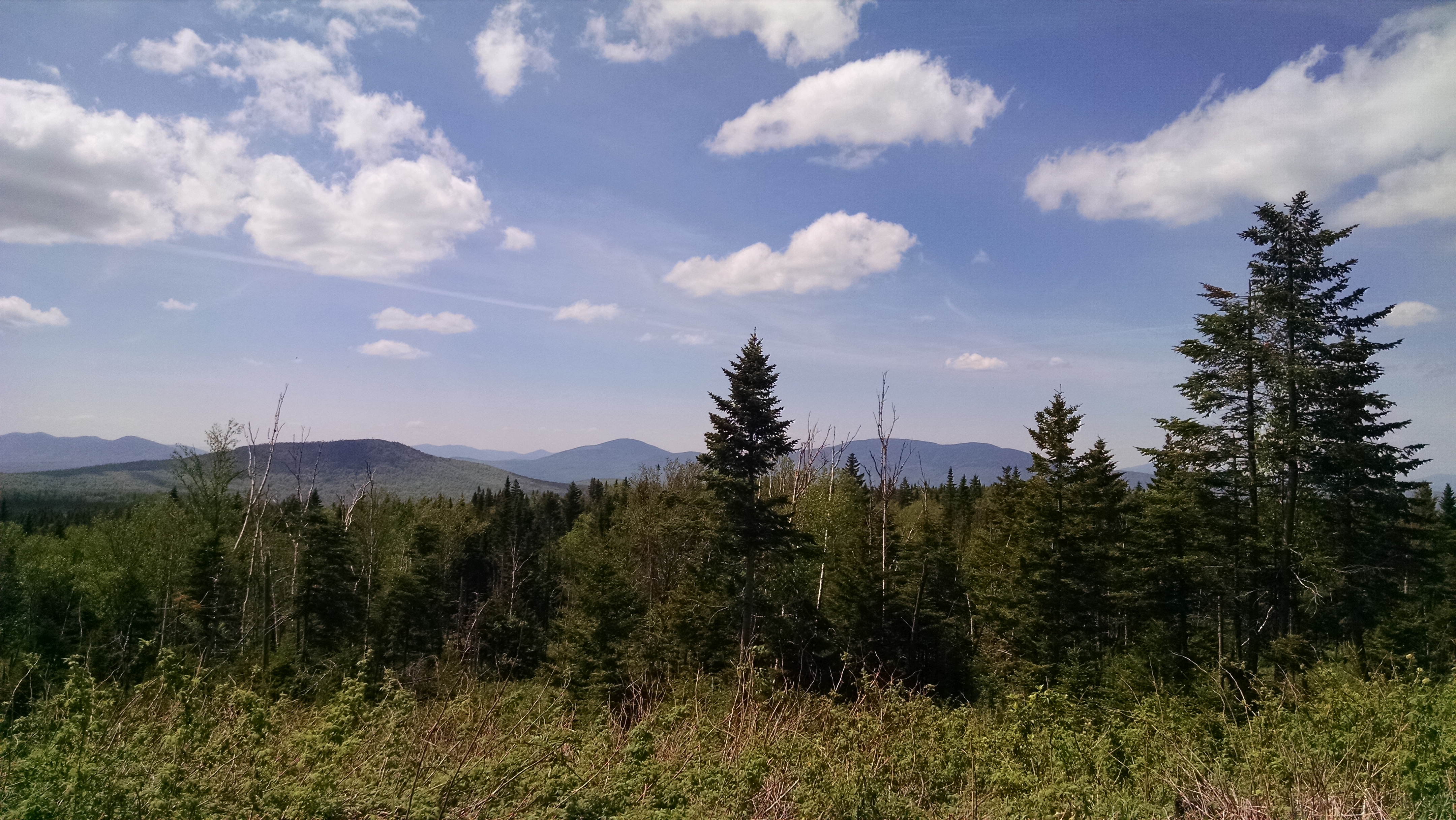
The southern area of Redington Forest ranges from about 2,000 to 3,000 feet in elevation, providing for sweeping views to the north.
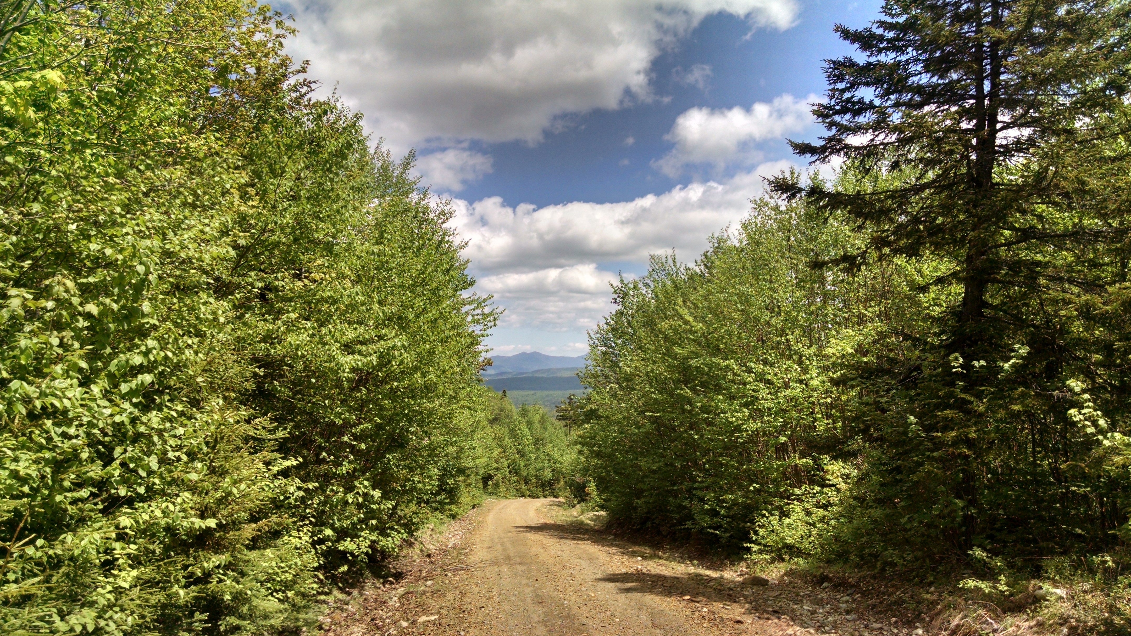
As this was mostly a driving tour, we were not able to access most of the eastern portion of the property along the Appalachian Trail, but we will be heading up there soon enough and will post more photos.
June Hike Poll!
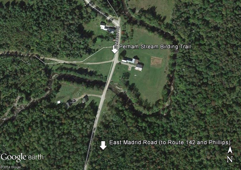
Perham Stream Birding Trail Hike
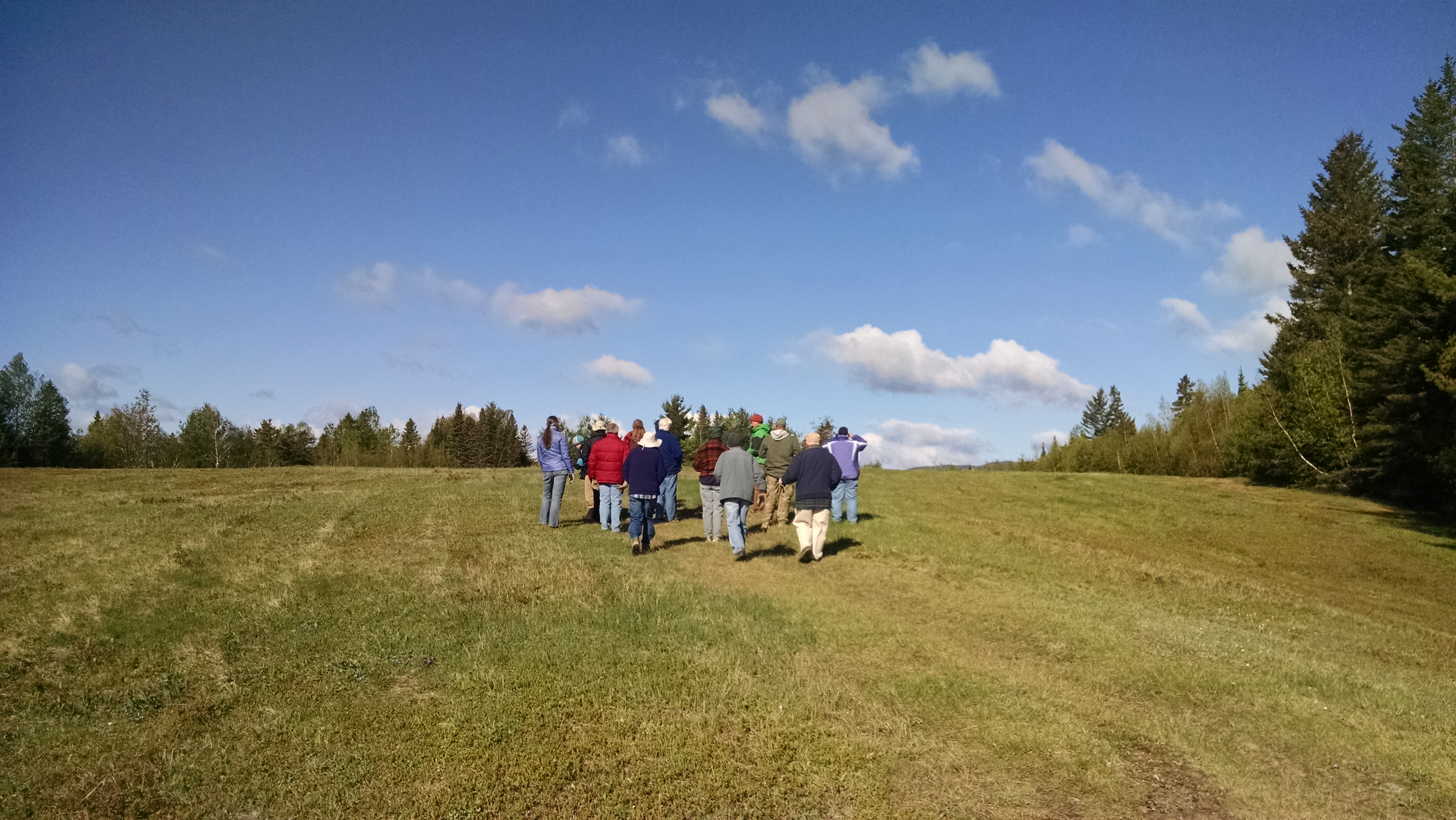
We had a great hike on the Perham Stream Birding Trail in Madrid Township on Saturday, May 23rd. The weather was a bit chilly at the start (there were a few snow showers in the mountains!) but it was a hardy bunch of about fifteen birders with binoculars and birding lists in hand.
The group was led by Pete McKinley, Ecologist at The Wilderness Society and Maine A.T. Land Trust Vice President, Kirsten Burbank, Trustee of the Sandy River Land Trust, and property owner Carson Hinkley. We were treated to sightings of a Brown Thrasher, a few Magnolia Warblers, and a Northern Goshawk, among others (see full list below)!
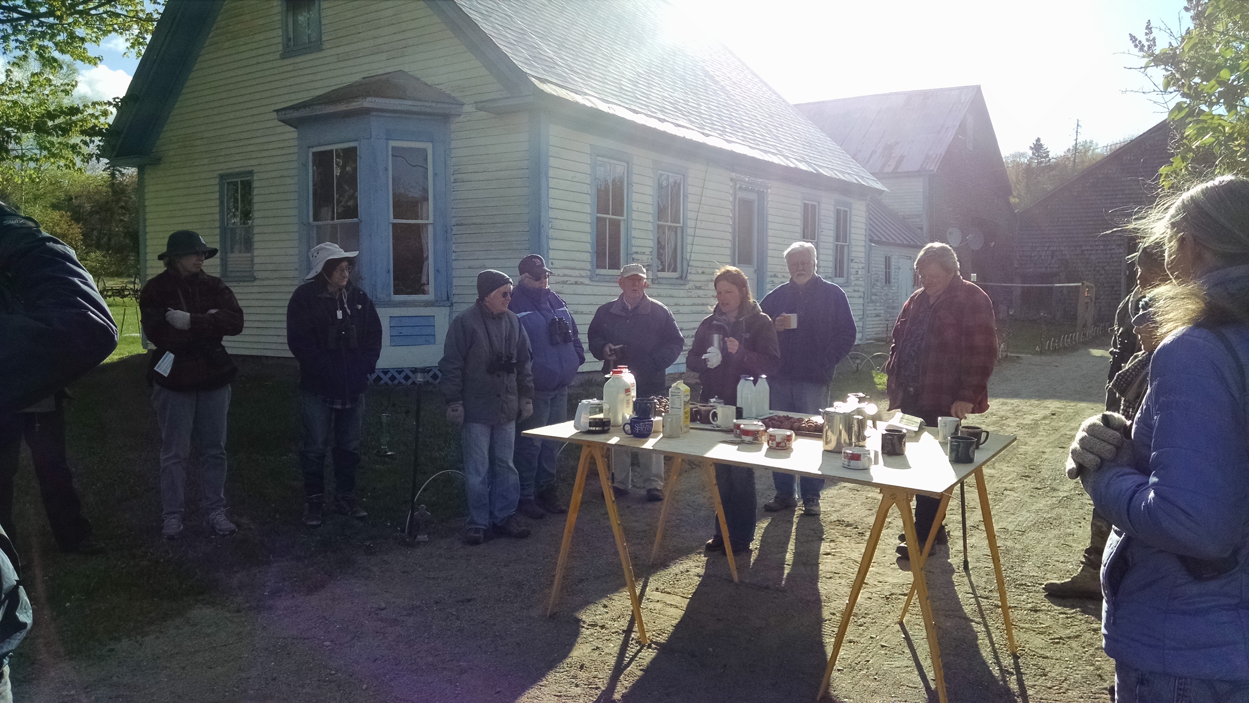
Special thanks to Carson Hinkley for not only graciously opening his property up to public use, but for maintaining the trails and having a vision as to the design and future of the landscape. His knowledge of the history of Madrid Township and the lands all around the High Peaks makes the trail what it is today.
Complete list of species seen (courtesy of Western Maine Audubon):
Turkey Vulture
Broad-winged Hawk
Mourning Dove
Ruby-throated Hummingbird
Pileated Woodpecker
Blue Jay
American Crow
Black-capped Chickadee
Red-breasted Nuthatch
Ruby-crowned Kinglet
Hermit Thrush
American Robin
Brown Thrasher
Nashville Warbler
Magnolia Warbler
Yellow-rumped Warbler
Pine Warbler
Black-and-white Warbler
American Redstart
Ovenbird
Chipping Sparrow
Song Sparrow
Rose-breasted Grosbeak
Common Grackle
Purple Finch
American Goldfinch
Doubleheader Birding Hike in The High Peaks
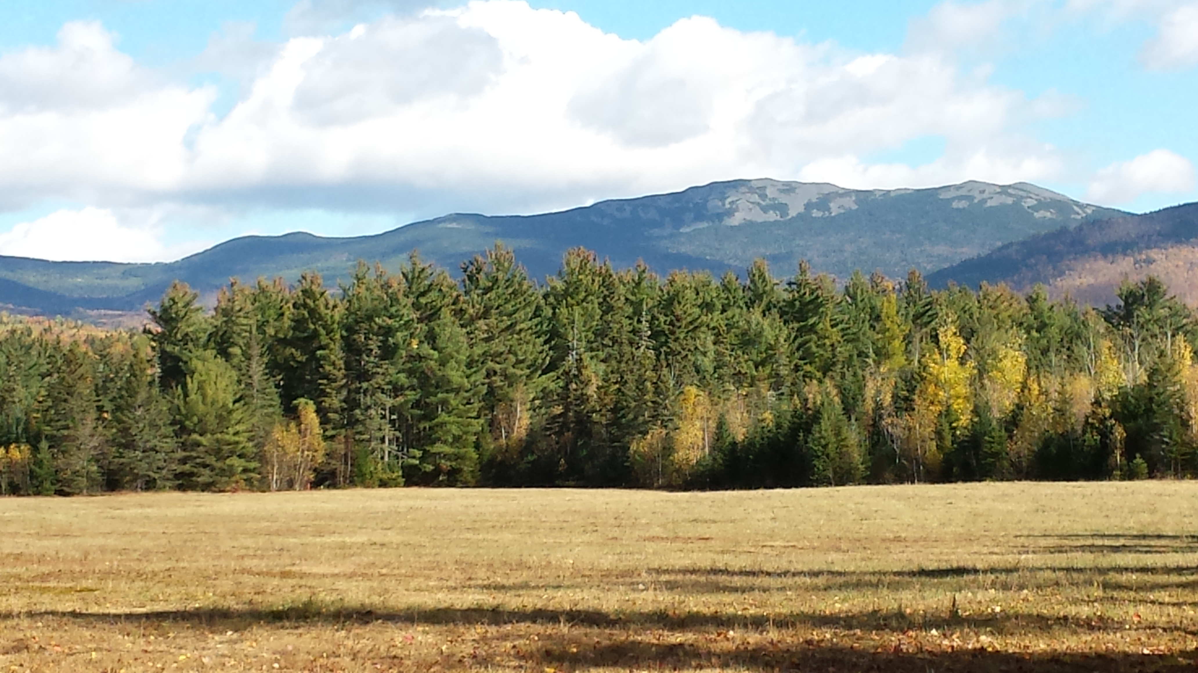
Orbeton Stream Article from A.T. Journeys

There’s always a backstory when important lands are conserved, and the Orbeton Stream parcel is no exception. Sometimes that story is straightforward and the path is clear – the story is easy to tell. Sometimes the route is long and winding and full of ups and downs, but this is usually a more interesting tale. This project leans towards the latter, but you can read for yourself how these lands came to be protected. Click below to read a story by Maine A.T. Land Trust President Bill Plouffe and ATC Maine Conservation Resources Manager Claire Polfus about the genesis of the Orbeton Stream project.
Berry Pickers’ Trail – New A.T. Side Trail Coming This Summer
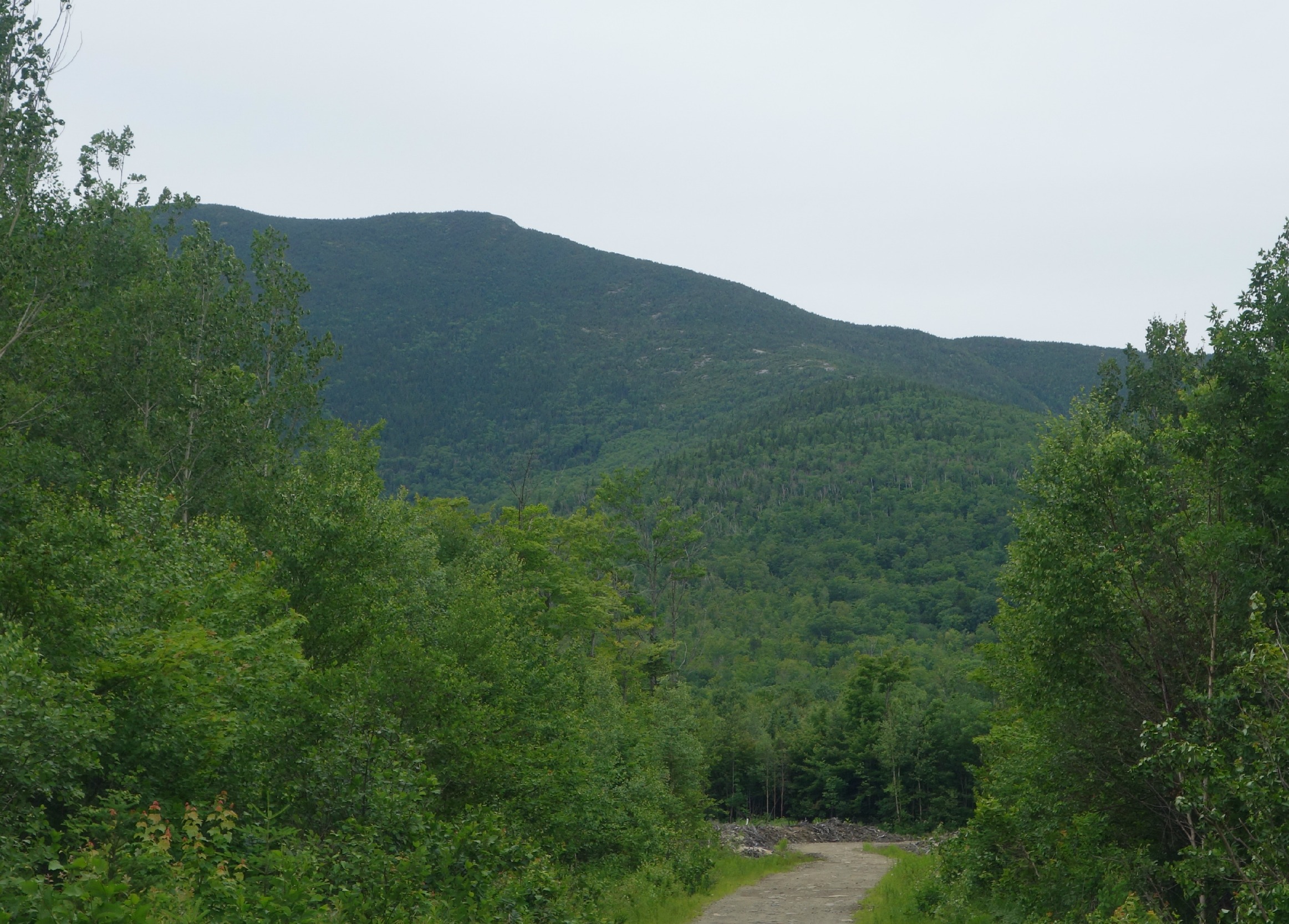
The Maine Appalachian Trail Club, working with Maine A.T. Land Trust and Appalachian Trail Conservancy, will begin constructing a trail up the eastern flank of Saddleback Mountain beginning this summer. The trail will open up the possibility of a loop hike to Saddleback by using the Fly Rod Crosby Trail and the Appalachian Trail. We will be posting further updates during the course of the summer. The forest is very thick until the trail reaches the open ledges on the ridge, so MATC and their hardy crew will have their hands full clearing this trail.

