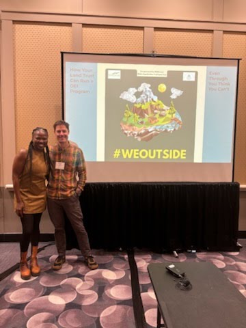
In Memoriam: Dr. George N. Appell (1926-2020)

George being presented the Maine Appalachian Trail Club Lone Mountain peak sign in 2018 by land trust President Bill Plouffe. (Tony Barrett photo)

Note:  The Maine Appalachian Trail Land Trust recently lost one of its board members, George Appell.  George had a tremendous impact on the organization and conservation efforts in the Appalachian Trail region in Maine.  Rather than summarize his life, we’ve chosen to share reflections from those on our board who knew him well.

Tony Barrett

I met George at his first Maine AT Land Trust Board meeting, accompanied by his wife Laura. In the early Board meetings, there were a number of husband/wife teams who attended meetings (i.e. Dean & Shelia Bennett and Dain & Vera Trafton) so important to getting the land trust off the ground.

George lived in Phillips which is very close to the section of the Appalachian Trail that I have maintained for the last 20 years. George was very interested in the A.T. (hence his interest in joining the land trust Board) and we would chat about the latest trail community news. I often would copy him on my MATC trail work reports. From early prioritization work, the land trust focused on priority blocks in the High Peaks.  When the 1,200-acre Ridge/Lone Mountain parcel just missed Forest Legacy funding in 2009, George personally stepped up to purchase the parcel from Wagner/Bayroot. He set up a conservation organization to manage the land (he later transferred ownership to the Northeast Wilderness Trust).  As I conducted boundary monitoring (the Ridge parcel abuts the A.T. corridor for almost a mile) I would copy George on my monitoring reports. On several occasions, I would stop by his house (since he lived so close) and we would talk about the trail and this parcel in particular.  I don’t believe that George ever visited this land parcel.  I created a map and a series of photos so that he could take a ‘virtual’ walk-about on the critical land that he was protecting.

This is George’s Mountain Conservancy sign posted on the Lone Mountain parcel. (Tony Barrett photo)

George’s sister, Helen Norton, lives in Harpswell (my hometown).  She is also very involved with land conservation where I got to know her through various projects in town and the Harpswell Heritage Land Trust. George also had a Harpswell connection through his ownership of a small island in Middle Bay.  George would migrate to Harpswell in the Fall to observe the seasonal hawk migration along the coast – he seemed to me to be an avid birder. My one regret is that I never accepted George’s invitation to join him on the island to watch the hawks.  He may be flying with them now.

Pete Ventre

I will miss George. I knew George professionally as well as personally through the Land Trust. I will especially miss our conversations often over lunch in Portland. George was exceptionally curious. He could engage in conversation knowledgeably on most any topic.  He was a most kind hearted and generous person as anyone who knew him would testify. He and Laura had a truly special relationship as they shared their work and were never apart.  She would happily accompany George to the Yukon or Borneo with enthusiasm.  I always enjoyed being with them together.  Yes, I will miss him.

Bill Plouffe

George was both a generous philanthropist and a conservation philosopher who offered an important and distinct voice in the conservation conversation.


Lloyd Griscom

George Appell was a friend who cared deeply about nature and biodiversity and ecology, but he cared mostly about results. Having helped the Maine A.T. Land Trust through a period of transition, the following graph shows why he was proud of helping the Maine A.T. Land Trust achieve these results:

Pete McKinley

I will miss George’s curiosity about the living world around us, whether insects, birds, plants or people, whether near to us in Maine or in far off islands and waters, he wanted to understand and he wanted to conserve the diversity of life in all its expression.  This was clear in his life’s work and in the course of many spirited conversations.  He sought to understand nature and take action to conserve nature and leaves us with inspiration to keep asking questions and keep taking the bold and creative action needed.


Simon Rucker

George Appell grew up on a farm in York, Pennsylvania, and was a world-renowned anthropologist specializing in research on Borneo.  He held two advanced degrees from Harvard University and lived in Phillips, Maine.

George’s bio, which appears elsewhere on this website, is brief but underscores what everybody who met him came to understand: George’s ideas and accomplishments were so big that no description I write can really do them justice.

George joined the Board of the Maine A.T. Land Trust in 2009 and, with his wife Laura, had an immediate impact on the direction of the organization right up until his passing.  When I became Executive Director in 2014 one of the first things the organization did was to pass a resolution in support of climate corridors, climate refugia, and ecological diversity and connectivity.  This was largely at George’s behest.  At that time these were still relatively new concepts; the conservation world did not begin to follow his lead for a period of years.

George was also a stalwart champion of biodiversity on a global scale, having seen the destruction of forests in Borneo when he was working as an anthropologist with the Rungus Momogon people.  This focus served to remind the Maine A.T. Land Trust of the larger implications of our conservation efforts here in Maine.  We might be working to protect a 5,000-acre forested property in the High Peaks, but the ecological values here are tied to a larger world of biodiversity, world ecosystems, and the web of life that surrounds us.  George was a constant champion of these and they are permanent fixtures in the strategies the organizations uses to protect land.

Despite George’s accomplishments, he was an easy person to be around.  When I first met him (and Laura) in their living room we sat for four hours.  Yes, we discussed land conservation and the direction of the Maine A.T. Land Trust, but the bulk of the time was devoted to storytelling.  I spent many afternoons in that living room or in George’s office discussing current conservation projects but mostly just talking about whatever we felt like talking about.  Sometimes we agreed on things, sometimes we didn’t, but it was always time well spent and you knew that spending the afternoon with him would make you a better person.

One of the great regrets we all have in life is when somebody we know passes away without having told us a story.  George and Laura’s house was filled with artifacts from their adventures, all of which told such stories, some of which most of us will never get to hear.  A photo of them on the MacKenzie River, a place which is still remote and inaccessible to most people but one to which they traveled to in 1957.  A poster-sized map of Borneo (in Dutch) which inspired George to say, “Remind me to tell you something about that map.”  His office, which was filled with more books per square foot than any library I had been inside of.  His rifle hanging over the doorway.  All of these things were loaded with stories that I will no longer get to hear.


Welcoming Three New Board Members

The Maine A.T. Land Trust is VERY pleased to announce the addition of three new directors who will have a big impact on the organization in the years to come.  The board of this organization is comprised of individuals who have professional skills that contribute to the work of conservation of the the Appalachian Trail region in Maine.  As you might expect, there are trail maintainers and ecologists and former thru-hikers on the board who shape the science and resource management of lands along the A.T. corridor.  But there are also many directors who help the Maine A.T. Land Trust in ways that aren’t always apparent when you are out on a trail, or paddling on a pond, or snowshoeing through the woods.  This board has conservation finance experts who help us navigate complicated land transactions and tax issues.  It has attorneys who have decades of experience that they can put to use when we acquire a property interest.  It has marketing and development professionals who ensure that this relatively small nonprofit can have an outsized impact from the local to the national level.

The new board members include Mary, who works for Conservation Law Foundation in Boston; Katie, who is a healthcare manager at Maine Medical Center in Portland; and Kayla, Lead Analyst of Strategic Sourcing at Pemberton & Associates.  They will provide valuable skills in outreach, marketing and guidance conservation-related issues.  All three are eager to get out in the landscape for stewardship duties and community hikes, too!

Please join us in welcoming Mary, Katie and Kayla to the board of the Maine Appalachian Trail Land Trust!

For information on all of the board of directors, please head to this page.  

Community Hikes Update

As we all continue to grapple with the COVID-19 pandemic in our own lives, the Maine Appalachian Trail Land Trust wanted to keep all our supporters and hikers informed about the status of our Community Hikes program for the summer season.  Outdoor activity is proving to be a great option for all of us since it’s safe, free and healthy.  We encourage all of you to find places that you can easily travel to and recreate as the weather improves.

At this time, the Community Hikes program continues to be on hold pending an easing of restrictions on the Appalachian Trail and an easing of transmission of cases of COVID-19.  The chief concern is the safety of hikers, staff, volunteers, first responders and the communities we travel to and depend on when heading into the backcountry.  There are also other issues which can’t be avoided at this time.

  • Carpooling and trailhead access.  Carpooling is a big part of our Community Hikes program and with social distancing guidelines in place, this is not possible.  Not only is the environmental impact greater when you have nine cars traveling instead of three, but many of the trailheads we use would not be able to accomodate more than a few vehicles.  With so many others starting to hike, there is a real risk of trailhead parking areas filling up before our groups arrive.
  • Crowding on the trail.  Social distancing is difficult to maintain on narrow paths and is even more difficult to maintain in large groups.  Gathering places on the A.T. in Maine are often small and activities like lunch and rest breaks would be difficult on some sections of trail.  Finally, lending a helping hand to others would be impossible.
  • Safety.  Hiking is a physical activity and we need to lend each other a hand – to help somebody up over a scramble, get a water bottle out of a pack, or lend a band-aid.  Currently, we can’t really do any of those things due to transmission risk.  In the unlikely event that outside help was needed from search and rescue personnel, all of those individuals would be similarly put at risk.  One person could potentially impact the safety of twenty or more people who have come to that person’s aid.
  • Community impact.  Many communities in Maine have an older demographic and due to size, they will not be able to accommodate many visitors.  Restrooms will be closed or limited, stores will be limiting access due to space issues, and public health facilities can quickly become overwhelmed if there is a rescue or other event.  Pulling resources away from towns at a time when they need them most does them a disservice.

Finally, on a brighter note, we wanted to extend our great thanks to our supporters and all of you who help make the Appalachian Trail the amazing place that it is.  For the first time in five years the Maine A.T. Land Trust will not be out with you on the A.T. in Maine this summer.  We are hopeful that the Community Hikes program will be back up and running again at a future date!  Check this space for info.  As soon as it’s safe, we can have hikes starting as soon as the weekend after.

For A.T. closure updates, please continue to check Appalachian Trail Conservancy’s update page.


The High Peaks Initiative and the Betterment Fund Join Forces to Support Local COVID-19 Relief

For immediate release

Non-profit organizations in Maine’s High Peaks region are coming together to work with community leaders and funders to address the impacts of COVID-19.   The High Peaks Initiative (HPI) is a collaborative of local, regional, and national non-profit organizations working in Maine’s High Peaks. The Betterment Fund encouraged HPI to connect with local communities and identify critical need areas via community leaders who are implementing actionable plans to meet the ongoing challenges.   We are pleased to recognize that The Betterment Fund Trustees have approved HPI’s request to direct $24,000 toward several community-initiated, community-led efforts which are addressing immediate needs in food security, safe and healthy outdoor recreation, and remote learning.

The initiatives receiving funds represent incredible community spirit, bringing together the public and private sectors in coordinated and creative ways.  These efforts depend on this immediate injection of funding and can serve as pilots and models for additional needs which may emerge going forward.  Individuals and other funders are also making generous personal contributions to these initiatives.

Rangeley restaurants have joined forces to form a non-profit organization to provide prepared meals for homebound community members.   Five restaurants are currently providing between 150 and 175 meals per day, seven days a week, for those in need.  While meals can be picked up in either Rangeley or Oquossoc villages, an average of 80 meals per day are being delivered to people’s homes.  Rangeley Health and Wellness and Rangeley Lakes Heritage Trust, both HPI partners, along with many volunteers are helping to deliver meals. Donations are currently being accepted through Skowhegan Savings Bank.

Rangeley Health and Wellness is also partnering with the Good Shepard Food Bank to provide staples, fresh produce and non-food items such as paper products and cleaning supplies for local families in need.  They are assembling boxes sized for small (1 – 3 person) and large (4 – 6 person) families which can be picked up once a week.  The expectation is that these boxes will meet most of the basic needs of the family for one week.

In Kingfield, restaurants and schools are partnering with Greater Franklin Development Council to provide support to local families.  There are boxes of food which are available to Kingfield Elementary School families with additional boxes for area students and community members during April school vacation week.   A GoFundMe page has been launched to build funding to expand on this effort.

SAD #58 is assisting students in this rural district successfully participate in on-line studies, but one of the greatest challenges is internet access.  The Betterment Fund is assisting with the purchase of hot spot devices which can ensure that students are connected to Google Classroom and can attend virtual meetings with their teachers using Zoom or Google Meet.

Using the Maine Trail Finder website, the Center for Community GIS is helping people find opportunities to be outdoors safely during the current pandemic. Trail use has increased dramatically as homebound individuals and families look for opportunities to be outside for health reasons, both physical and mental. Public safety concerns resulting from overcrowded parking lots, boardwalks, scenic viewpoints and summits are leading federal, state, and land trust trail managers to shut down trails on a near-daily basis.  Maine Trail Finder is keeping users educated about open trails, ways to find less popular local trails as well as best practices for keeping everyone safe in the outdoors during these unprecedented and rapidly changing times.

The mission of the High Peaks Initiative (HPI) is to protect important natural resources, secure public access, and support healthy human and natural communities in Maine’s High Peaks.  HPI partners include the High Peaks Alliance, Rangeley Lakes Heritage Trust, Rangeley Health and Wellness, the Maine Appalachian Trail Land Trust, the Center for Community GIS, The Wilderness Society, the Northern Forest Center, the Trust for Public Land, the New England Forestry Foundation, the Northern Forest Canoe Trail, Maine Huts and Trails, Maine Mountain Collaborative, Longfellow Mountains Heritage Trails, High Peaks Network/Greater Franklin Development Council, and the Appalachian Trail Conservancy.

The Betterment Fund was established by William Bingham, 2nd, a resident of Bethel, and focuses on education, health, and conservation.  They give top consideration to projects in the Western Mountains region because of Mr. Bingham’s lifelong dedication to the area.  The concepts of community and collaboration are very important to their grantmaking.

Three Steps for Mainers to Follow Before Heading Outdoors

Now that’s social distancing.

Reposted from Maine’s Conservation Community

For Immediate Release
April 2, 2020

Media Contacts
Warren Whitney, Maine Coast Heritage Trust, wwhitney@mcht.org
Jeremy Cluchey, The Nature Conservancy in Maine, jeremy.cluchey@tnc.org
Jim Britt, DACF, jim.britt@maine.gov

Three Steps for Mainers to Follow Before Heading Outdoors

AUGUSTA, Maine – The current “Stay Healthy at Home” mandate identifies “engaging in outdoor exercise activities, such as walking, hiking, running, or biking” as essential personal activities, provided they are conducted in accordance with all public health restrictions and guidance. Maine’s conservation community, natural resource agencies, and outdoor brands want everyone to have the opportunity to get outside during this challenging time.

Most of our publicly accessible conservation lands are available for healthy outdoor recreation. Still, we all must do our part to slow the spread of COVID-19 and prevent unnecessary stress on our Maine Warden Service, Forest Rangers, and first responders.

While some popular conservation lands have closed recently due to overuse and crowding, the vast majority remains open to the public. As spring weather arrives in Maine, it is critical that all individuals and families who head outdoors follow three simple steps:

  • Find the Right Time and Place
  • Be Prepared Before Heading Out
  • Heed All COVID-19 Health Warnings

The following checklists will help us all enjoy Maine’s outdoors in ways that are safe and responsible during this difficult time. Before you hit the trail, cast a line, or launch a canoe, please be sure to:

 Find the Right Time and Place

  • Know What’s Close to Home: Consider visiting a nearby Wildlife Management Areaor a less-trafficked state parkpublic land, or local land trust (Maine Trail Finder is a great resource!)
  • Check before you go: Visit websites to see the latest information on closures or conditions. Please respect all property closures.
  • Have a plan B: If the parking lot is full, the destination is too crowded. If your first destination has a busy parking lot, go to the next spot on your list!
  • Avoid peak times: Get out earlier or later in the day.
  • Recharge in your backyard and neighborhood!: Spring in Maine means there is a lot to see and explore right in our own yards.

Be Prepared Before Heading Out

  • Expect limited services: Facilities like public restrooms are likely closed, so plan accordingly.
  • Pack snacks and water: Do what you can to avoid having to make stops along the way.
  • Dress for success: It is spring in Maine, so trails are likely to be wet, muddy, slippery, or icy; bring appropriate gear to match the conditions. Local outdoor brands are open for online sales and are available to give advice on appropriate gear and equipment.
  • Don’t take risks: Stick to easier terrain to avoid injuries, which add stress on first responders and medical resources.
  • Watch out for ticks: Wear light-colored pants, closed-toe shoes, and apply EPA-approved bug repellent.

Heed All COVID-19 Health Warnings

  • Practice social distancing: Stay at least six feet away from other people who do not live in your household. If necessary, step aside when passing other people on the trail. And remember that groups of 10 or more are prohibited.
  • Don’t linger: Shorten your stay when visiting natural stopping points such as waterfalls, summits, and viewpoints so everyone can enjoy them while maintaining a safe distance.
  • Don’t touch: Avoid touching signs, kiosks, buildings, and benches to minimize the potent spread of the virus.
  • If you’re sick, stay home: It puts others at risk when you leave home while exhibiting symptoms related to COVID-19, or if you have recently been exposed to the virus.

If we all follow these guidelines and put public health first, we can enjoy Maine’s natural resources in safe and responsible ways as we work through this difficult time together.

###

Appalachian Mountain Club
Center for Community GIS
Forest Society of Maine
Maine Audubon
Maine Coast Heritage Trust
Maine Department of Agriculture, Conservation and Forestry
Maine Department of Inland Fisheries and Wildlife
Maine Land Trust Network
Maine Office of Outdoor Recreation
Maine Outdoor Brands
Maine Trails Coalition
The Nature Conservancy in Maine


Four Ponds Trip Report

Map of the Maine Public Reserve Land Four Ponds Unit.

Date: February 22

Location: Height of Land, Four Ponds Public Reserve Land, Route 17, Township E

Trail:  Appalachian Trail Northbound

Distance: 7.4 miles (Sabbathday Pond roundtrip)

Info: Maine Trail Finder

One of the hidden gems of the Appalachian Trail in Maine, the Four Ponds area is generally not well travelled in either summer or winter (except for thru-hikers).  Due to the tranquil aspect and beautiful forest scenery, the hikes in this area never fail to disappoint.  The location on a high plateau provides for some rugged terrain and the snowcover is generally deeper than other lower elevation areas, too.

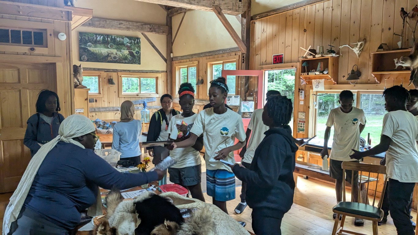
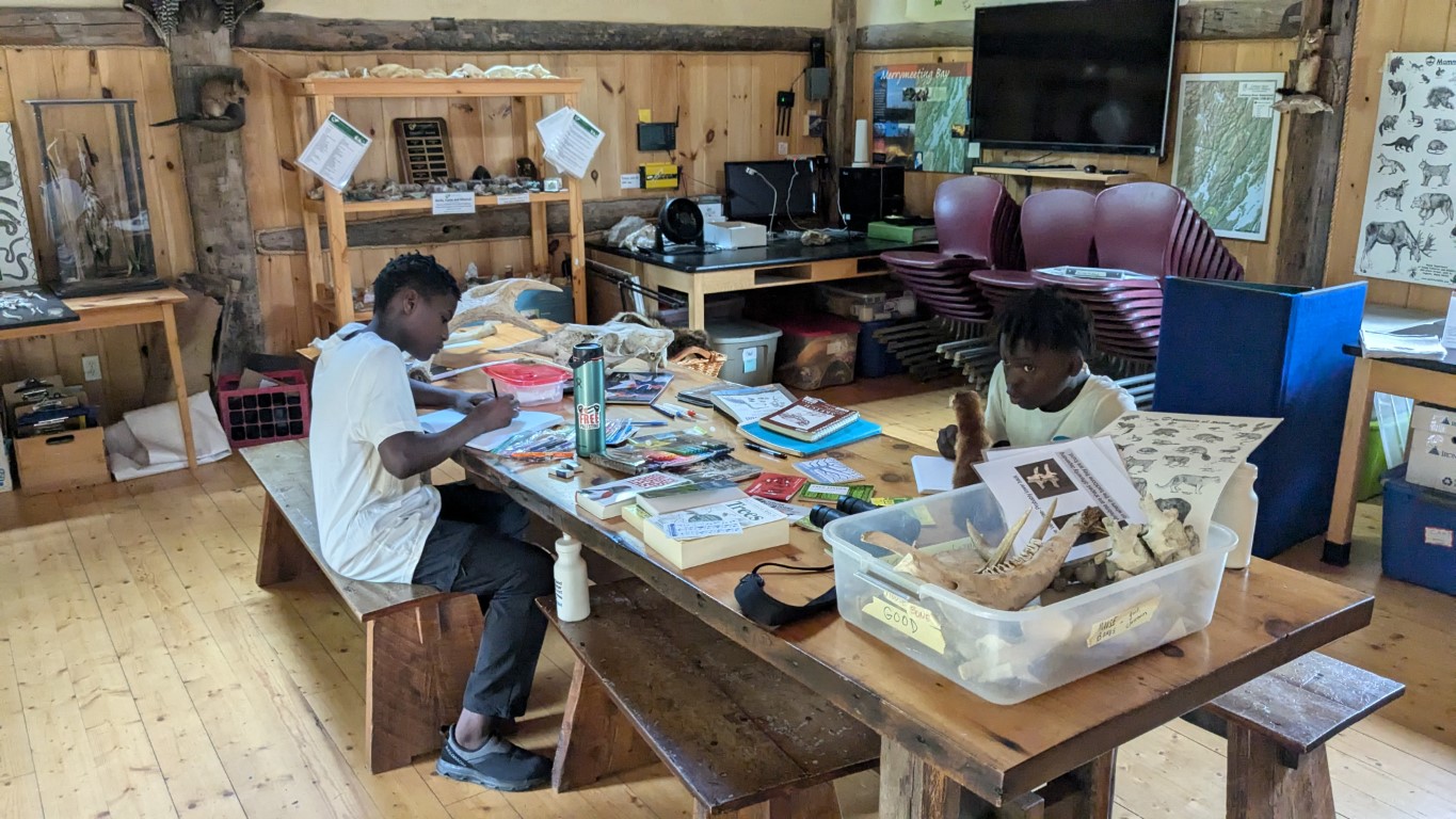
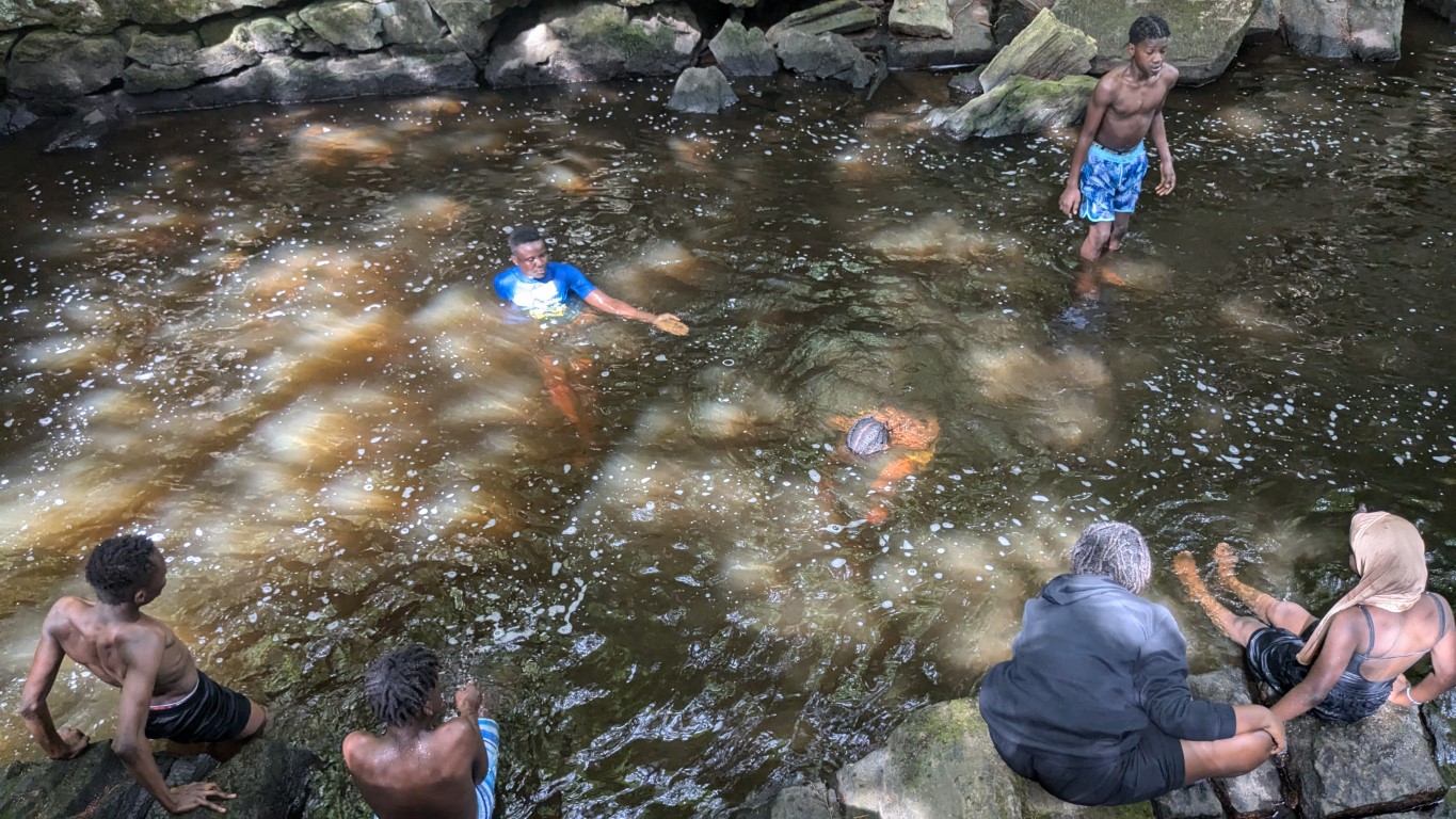
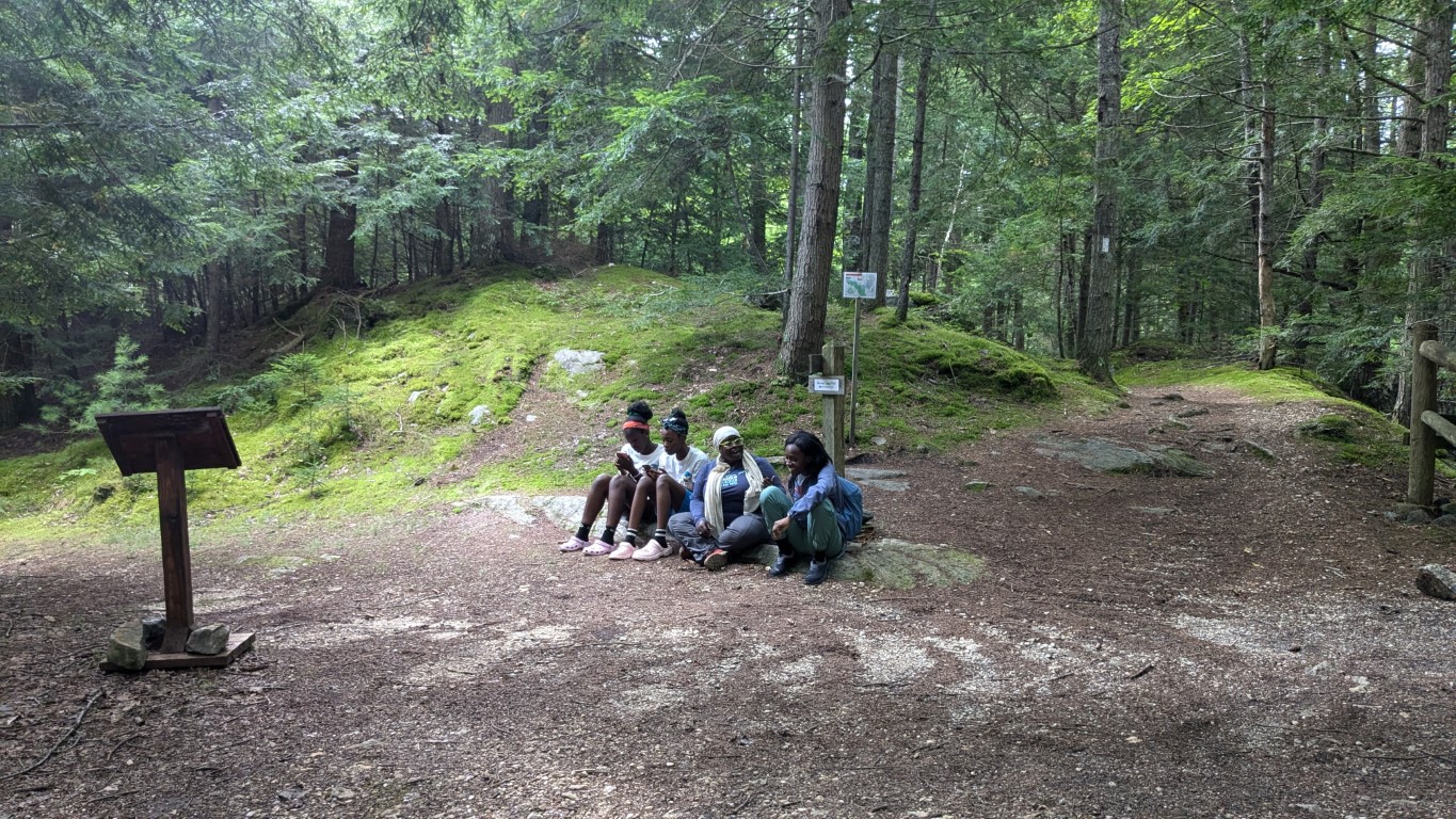
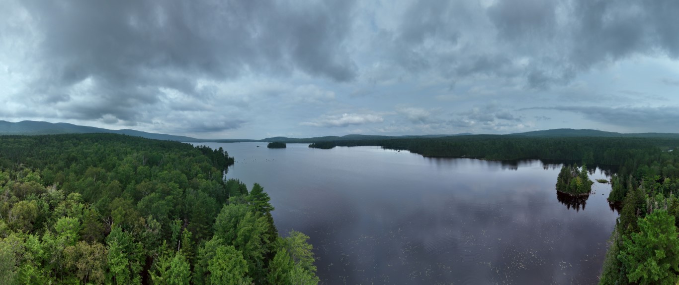
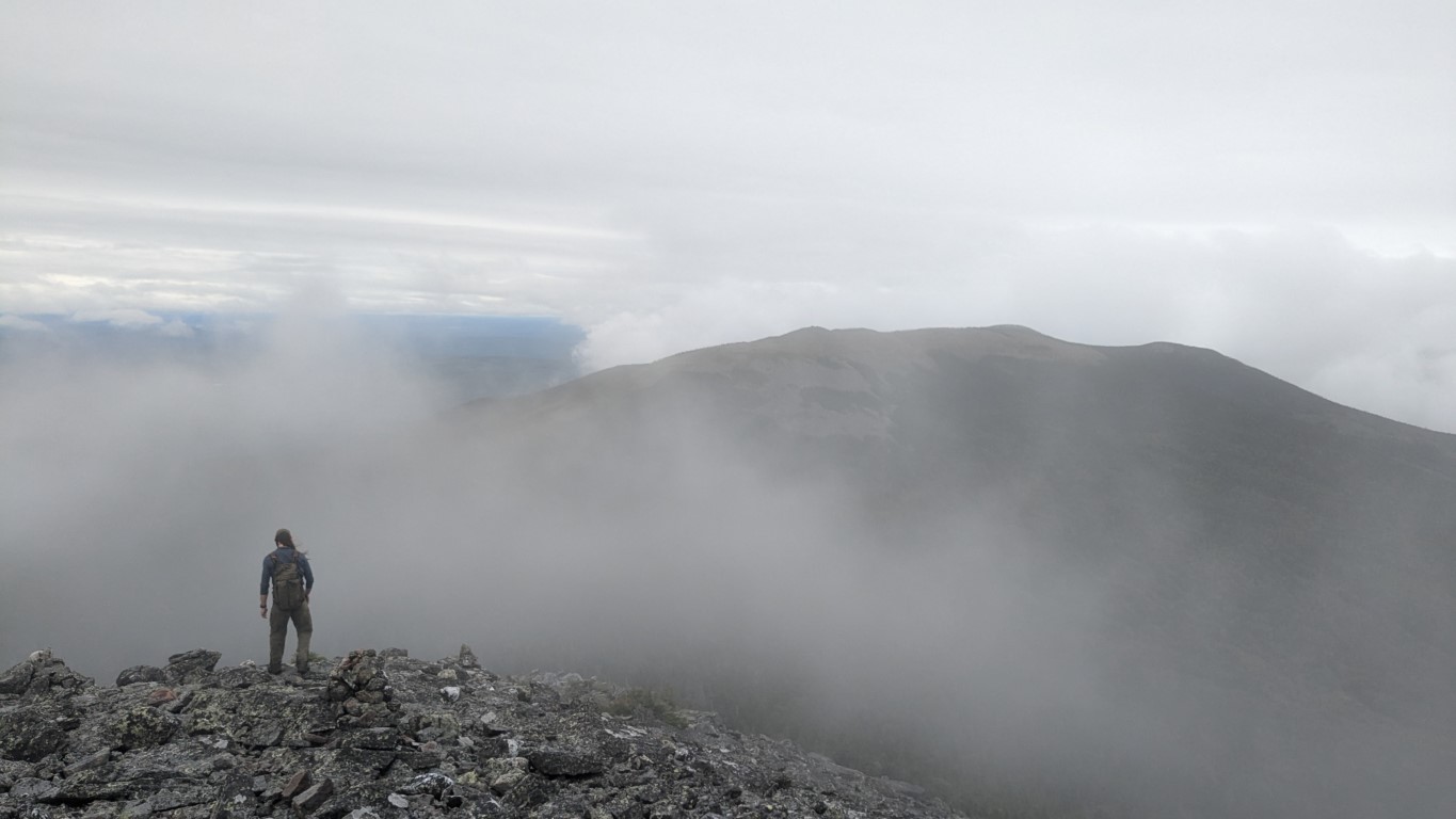
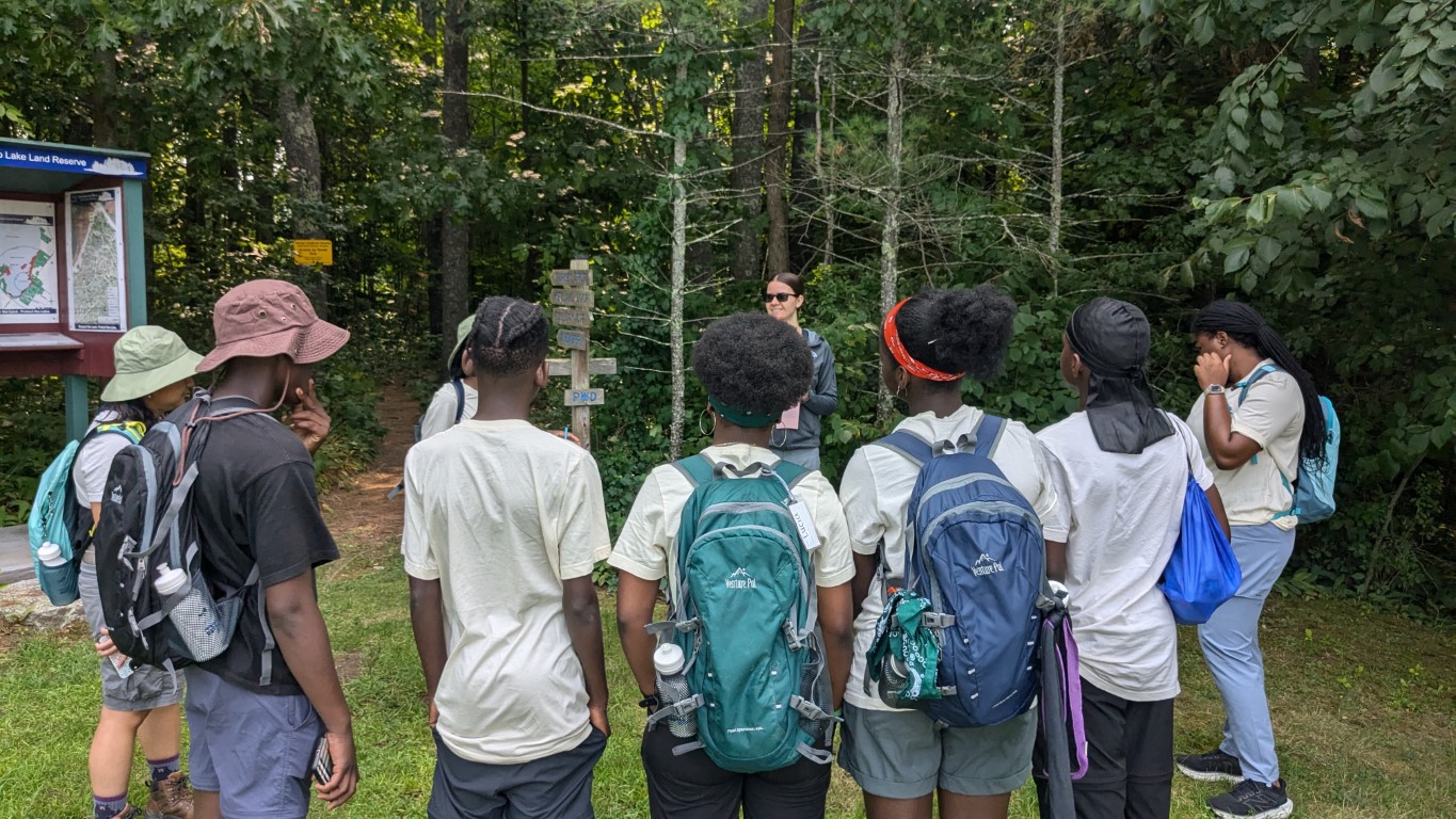
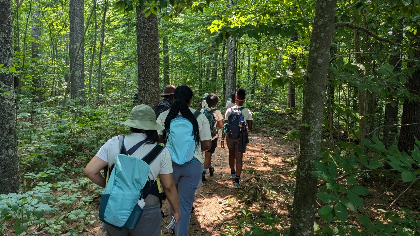
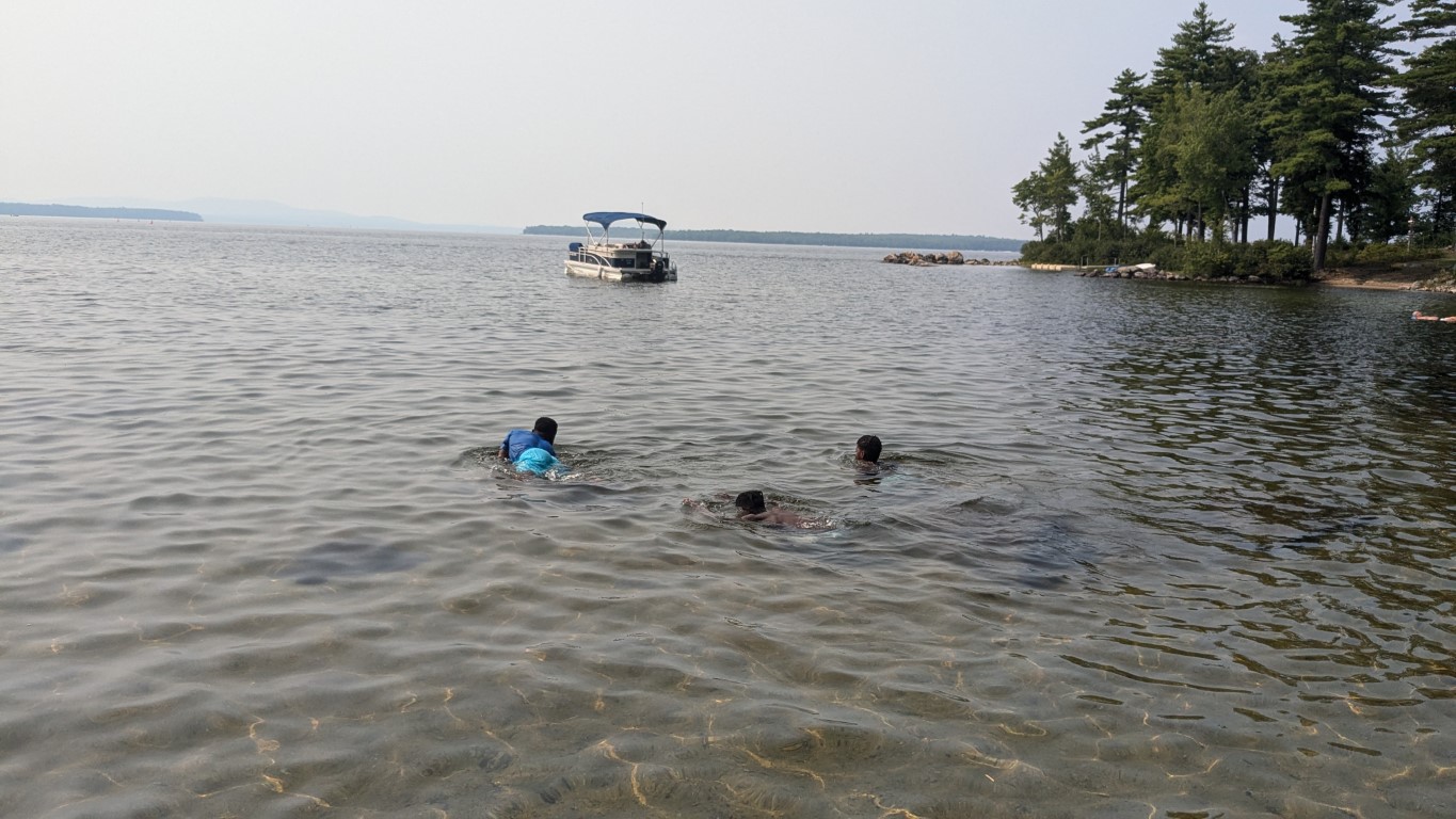
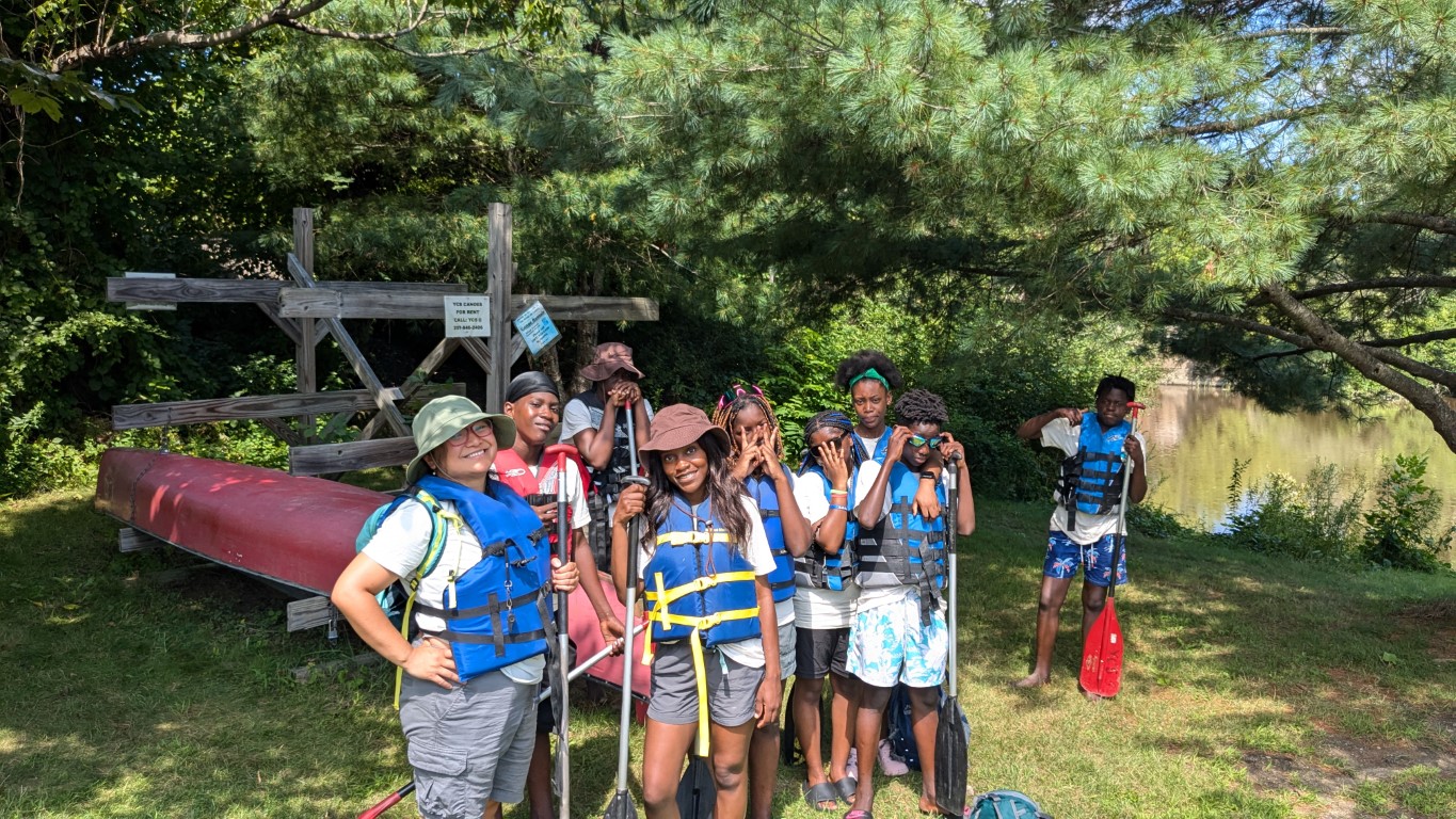
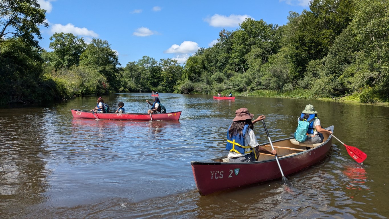
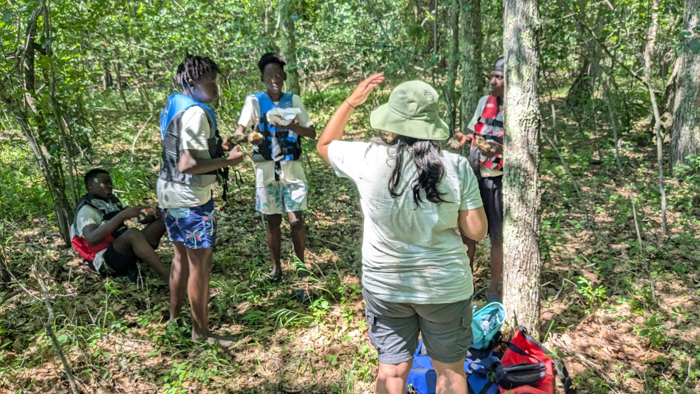
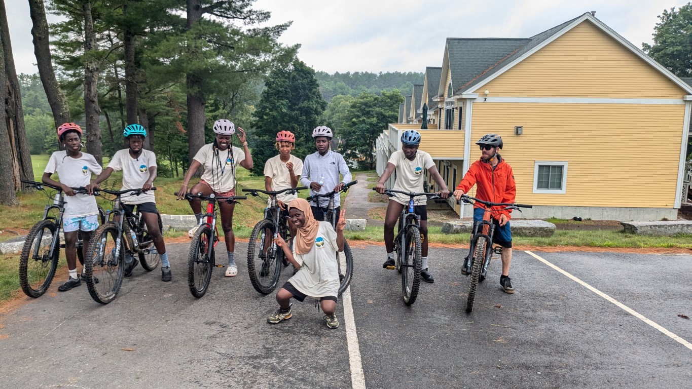
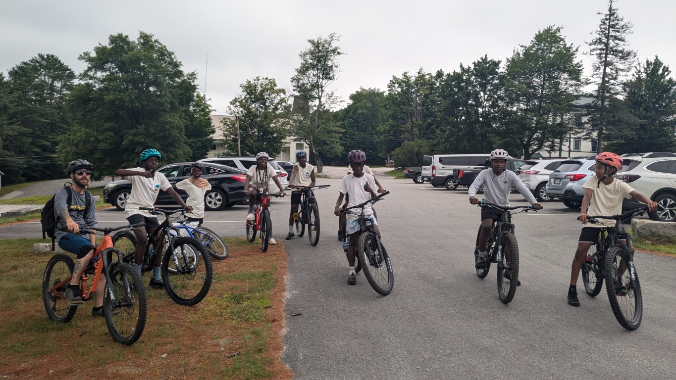
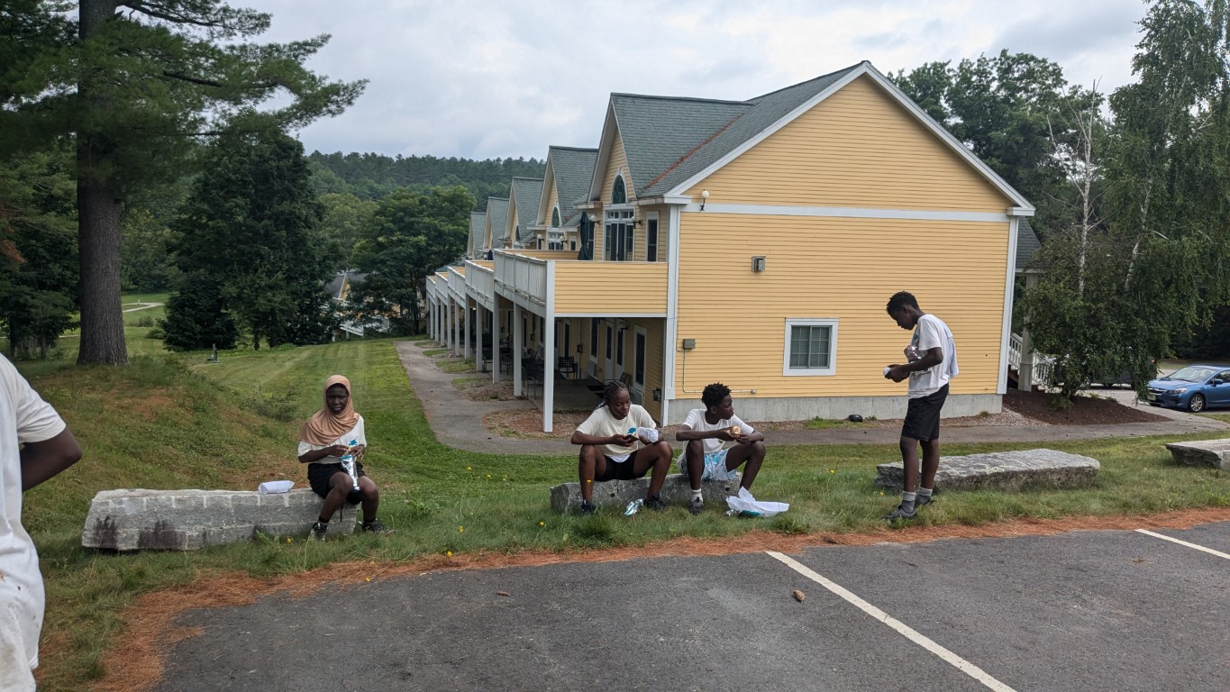
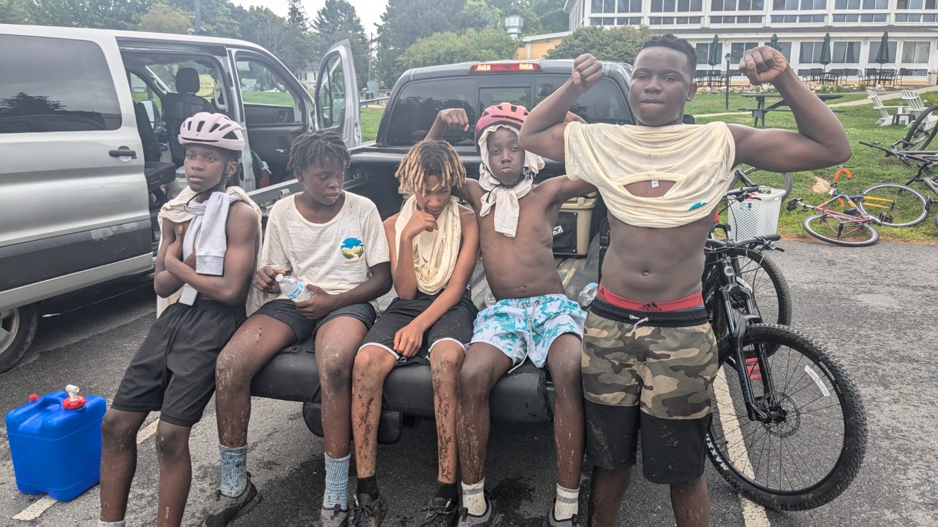
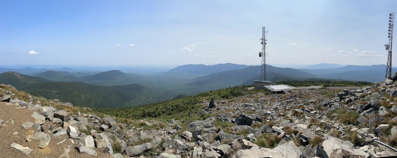
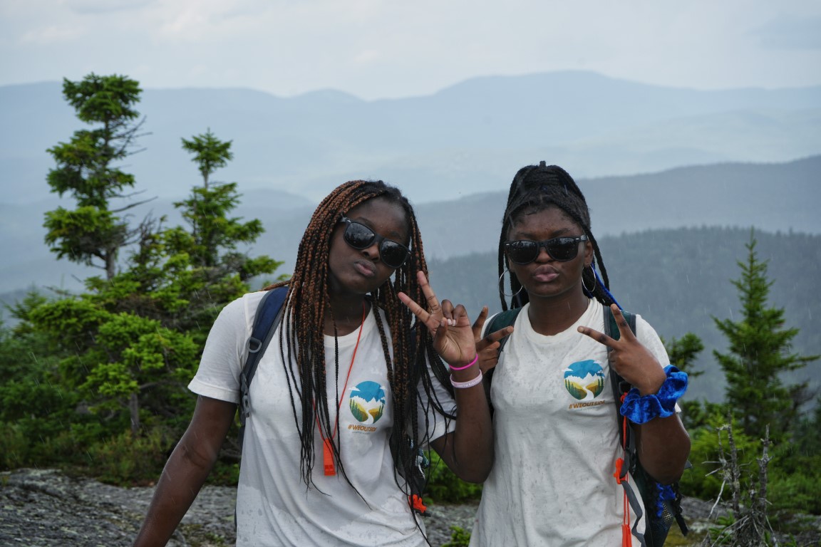
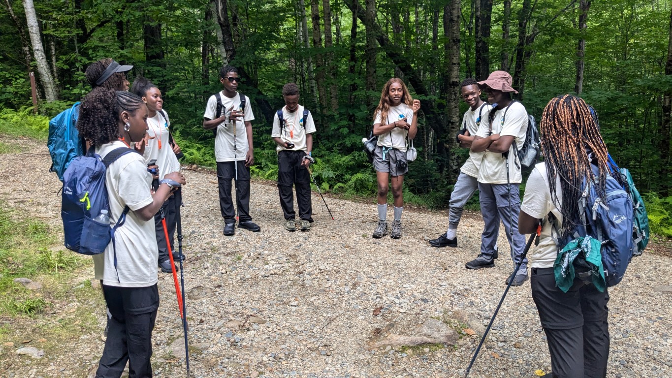
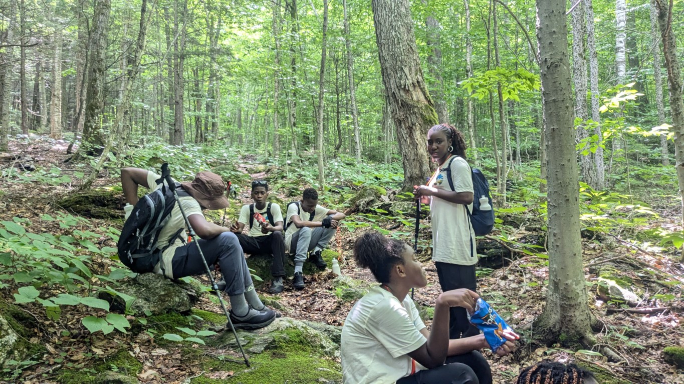
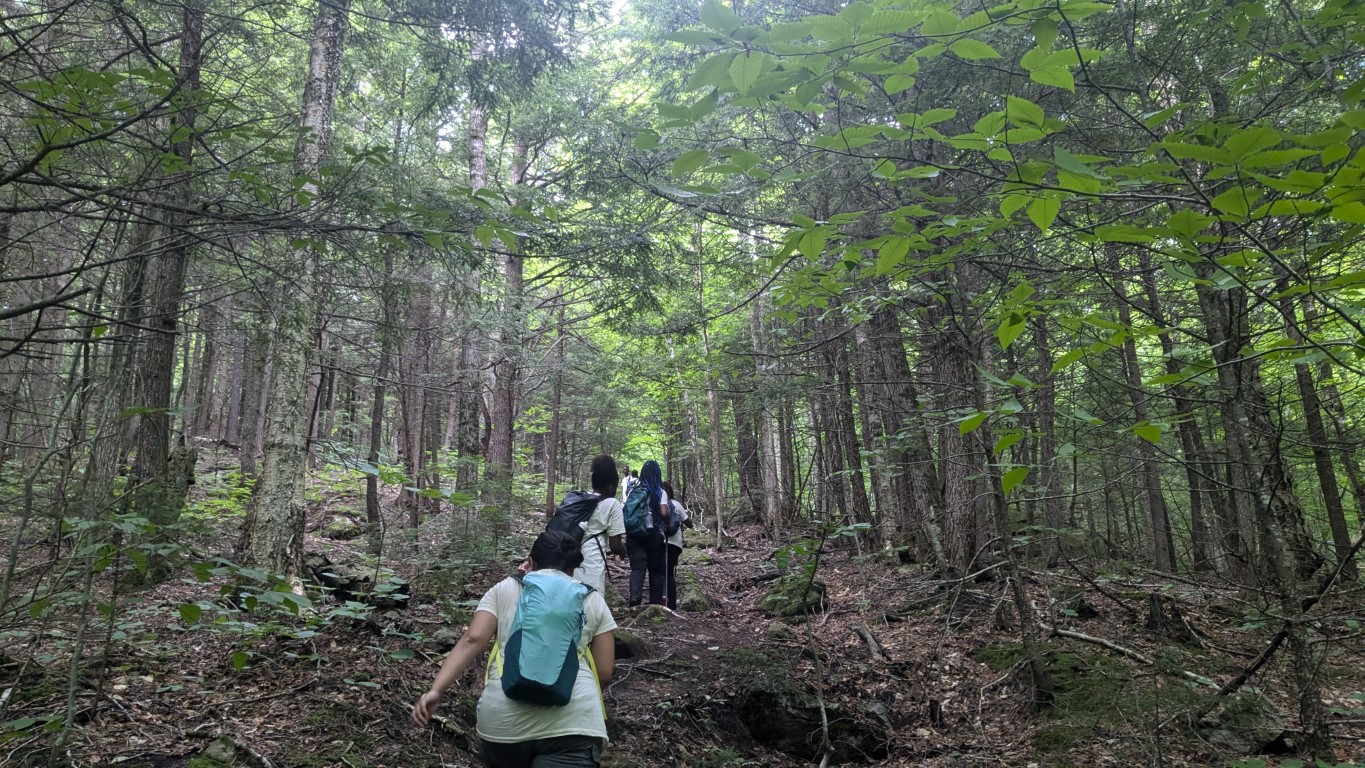
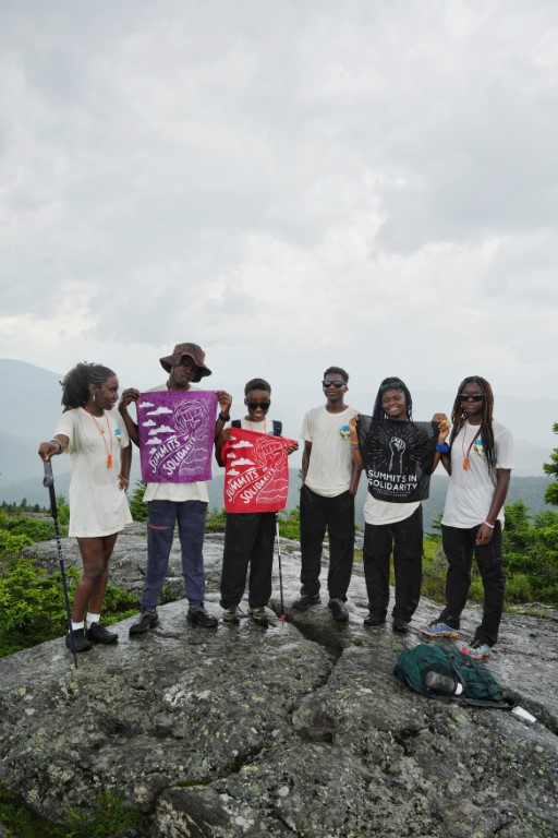
The Maine Appalachian Trail Land Trust has been guiding hikes for the public to the Four Ponds area for years, and its popularity has only increased.  The terrain is not steep like many sections of the A.T. and access to the trail here is from a public road (Route 17).  For this hike, we had four people meeting up on a Saturday morning, with the temperature hovering around zero but with light winds.

On the A.T. heading into the Four Ponds unit off Route 17.

We strongly encourage hikers to prepare for even lower temperatures than they might expect, since this tends to be a snow and cold section.  The group for this hike was experienced and well-prepared – though temperatures would rise nearly 40 degrees by the end of the day!  We set out from the Height of Land parking area on Route 17, which is the Rangeley Lakes Scenic Byway.  During the winter the parking lot – generally filled with cars during all hours summer – is not plowed, and you have to park approximately 1/4 mile north, in a snowmobile parking area on the right side of Route 17.  On this day, there was a small plowed area that fit two cars and we parked there.  Take care walking by the road!

The A.T. is just south of the parking area and we entered the woods after negotiating the ice-covered rocks by the side of the road.  Four Ponds does contain named mountains like Spruce Mountain (2,530 ft) and Four Ponds Mountain (2,925 ft) but these are relatively low and there is not significant elevation gain or loss on the section of the A.T. to Sabbathday Pond.  The trail immediately off Route 17 contains the steepest portion of the hike, gaining a few hundred feet of elevation in just a few tenths of a mile, but thereafter meanders up and down over knolls and these small mountains.  There hike is initially through an open mixed spruce-hardwood forest where the A.T. can be difficult to find in winter since you can’t see the footbed of the trail.  Our group lost the trail for about fifteen minutes before pressing on anyway and finding the trail pretty quickly thereafter.

Spruce forest on the slopes of Spruce Mountain.

The forest type then changes to a dense spruce-fir forest that in winter is tunnel-like and very quiet.  Sounds are muffled by the deep snow and all is quiet.  Normally you can hear snowmobiles on nearby trail networks, but on this day there were none.  We proceeded on towards the first of the “four ponds” – Moxie Pond.  First, we pass through one of the sublime areas of the A.T. in Maine, a forest of great beauty that is one of the highlights of the Four Ponds trek.

Lovely forest.

The forest surrounds Moxie Pond and Long Pond further on, which is the largest in the area, and for the third time in recent years we were treated to sets of Canada lynx tracks on the unbroken trail in front of us.  We stopped for lunch on the shore of Moxie Pond.

Moxie Pond.

At lunch, we assessed our progress and decided that we’d turn back.  Winter hikes prior to daylight savings have a short window where it’s safe to be out, and we were having a great time just taking it easy being out in the woods.  On previous winter trips we have made it to Long Pond and in the summer reaching the beach and lean-to at Sabbathday Pond is a fairly moderate hike (3.6 miles).  Having to break trail in snowshoes with four feet of snow on rugged terrain takes longer, and we were happy to turn around at about 1.8 miles.

One of the nice safety features of this hike is the fact that there’s a flat snowmobile trail bailout route (which is a woods road in warmer months that provides access to camps on the southern shore of Long Pond).  A hiker in our group was having some issues with boots causing discomfort and we decided to do him a favor and use the snowmobile trail for the portion of the return trip west of Moxie Pond.  It is easy to follow, flat and mostly downhill back to Route 17, where you have to walk along the road to get back to the parking area.  We chatted with a few passing snowmobilers on the way out, and were back at the cars by 2:30pm.

Join us for our next hike on March 21st to Little Bigelow Mountain!

Four Ponds Ladies Adventure Club Hike!

Trudging on.
Snow is always deep in the Four Ponds unit.
Hi
Heading out!

By Alicia Heyburn, Ladies Adventure Club

“Meet at Marginal Way at 6:40am for a ride to the trailhead with Simon Rucker, Executive Director of Maine A.T. Land Trust. He is great, save some gas, and you won’t have to worry with directions!”

That notice filled Simon’s truck pretty quickly with three members of the Ladies Adventure Club, an outing club for women in Maine. Three others met Simon’s crew at the trailhead off Route 17, to snowshoe into the Four Ponds Public Reserve Land by the Height of Land scenic view point. We made space in the lot for the snowmobiles; we were the only hikers, and after a group photo at the vista over Mooselookmeguntic Lake – Bemis Mountain was shrouded in clouds – we jabbed the claws of our snowshoes into the ice, and moved from the roadside into the wind-protected Appalachian Trail. 10:00am.

Temperatures were significantly more mild than when Simon led this trip for the Ladies Adventure Club last year. We had fresh light snow, but not as deep as last year. No one fell in a tree well and needed to be rescued, at least, as happened last year.

We saw lots of animal tracks including Canada lynx and snowshoe hare.  The trail conditions were quite good, and the majority of the group was able to move right along, despite some slippery spots. We stopped at the first pond, Moxie Pond, for lunch. We could hear snowmobiles in the distance.

On the way home Simon took the fear out of the steep descents by having us sit down, legs out and elevated, to slide over the roots and ice flows. It was fun! We felt like otters. Much better than gingerly working our way down and worrying about falling.

We were back to the parking lot by 2:45.  Great day out on the A.T. in deep winter!

Until Next Year

What a view!
Flagstaff Lake
The crew.

By Louise Jensen

The last Maine A.T. Land Trust Community Hike of the season and of the year was on Saturday, October 19th to Little Bigelow in the Bigelow Preserve. As mentioned in our Cranberry Peak hike in August, the Bigelow Preserve is in western Maine, just east of the village of Stratton. The 36,000-acre Preserve was established in 1976 by public referendum, and is managed by the Maine Bureau of Parks and Recreation.  The Bigelow Mountain Range with its six high peaks is found entirely within the Preserve. Little Bigelow is the eastern-most peak at 3040 feet. The parking lot and the trailhead are located off East Flagstaff Road.

You can tell that cold and flu season has arrived early this year as a few hikers dropped out due to illness leaving only 4 healthy participants. We met at the Tindall’s Country Store where we grabbed some coffee and necessary snacks, used the “facilities” and then all 4 piled into one car and headed to the trailhead. It took about 30 minutes to get there so we took advantage of the time to get acquainted or re-acquainted as the case may be.

The weather forecast called for partly sunny skies but initially some cloud cover greeted us at the trailhead. Heading southbound on the leaf-covered Appalachian Trail, we climbed steadily through a dense mixed hardwood forest following a swift moving brook. About a mile or so in we took the short side trail that leads to the Little Bigelow Lean-to campsite where we visited a section of cascading and pooled water called “The Tubs”. We all remarked how nice it would to be here on a nice hot summer day!

Continuing on, we started climbing more steeply over ledges with open views of Flagstaff Lake. By this time the sun came out and provided just the right amount of warmth to counterbalance the chilly fall air.  Arriving at the summit, we found the wind was blowing quite steadily so we layered up to eat lunch and admire the views. We could see the peaks of Sugarloaf, Spaulding, the Crockers, Redington, and the Bigelows and despite the fact that prime fall foliage had passed – the views were amazing.

With the sun still shining, we headed back down, taking our time, chatting with one another and with other hikers we encountered along the way (no thru-hikes today). Towards the end of our hike, one of the group remarked, “this is such a comfortable hiking group” – and indeed it was.

Stay tuned for our winter hiking schedule to be posted on our website towards the end of the year!

Summer Is Still Here

Heading out
The Horns.
Flagstaff Lake
Photobomb!

By Louise Jensen

Our most recent community hike was to Cranberry Peak, part of the Bigelow Range located in the Bigelow Preserve in western Maine, just east of the village of Stratton.  The 36,000-acre Preserve was established in 1976 by public referendum, and is managed by the Maine Bureau of Parks and Recreation. The Bigelow Mountain Range with its six high peaks is found entirely within the Preserve. Cranberry Peak is the Westernmost of those peaks, topping out at around 3,194 feet.

We had ideal weather for hiking: warm late-summer temperatures and beautiful, blue-bird skies. The summits were in the clouds as we traveled to the trailhead but weather forecasts predicted blue skies on the high peaks and that is exactly what we got. Four hikers came out this day, all the singing praises of the weather gods. We made an up-and-back trek on the blue-blazed Bigelow Range Trail totaling about 6.4 miles.

The trail starts out fairly flat but soon makes a steep climb to an area called Arnold’s Well. There is a side trail to take you to the ”Well” but we skipped that opportunity to continue on to the summit. Soon we came to another short side trail leading to “the Cave”, but we saved that for our trip back down. The trail continues steeply, much of it over open ledges and finally reaches the summit. 360 views of Flagstaff Lake and the major peaks awaited us there. It was cool and breezy but not cold, and soon we sat down for lunch along with a family with 2 young kids and 2 Norwegian Elk Hounds. The 5 year old just made her first “big peak” hiking debut and was clearly on her way to becoming a lifelong hiker along with her older brother. We initially met this family in the parking lot and then encountered them on our way up as they were turning back thinking they either missed a trail or the summit was just too far ahead. We assured them they did not have far to go and that they would
be rewarded with magnificent views when they got there. Just like us, they were not disappointed by the vistas from Cranberry and were grateful we encouraged them to continue on.

After about 45 minutes or so we headed back down, with 3 of us making the 200-foot side trip to “the Cave”. The Cave is a large overhanging slab of rock that you can easily climb up into. After a few goofy photos, we rejoined our other hiking companions and completed our trek down. Another day well spent in Maine’s High Peaks!

And Then There Were Five…

Let’s go!
Getting ledgy.
Bogs on A.T. towards Mahoosuc Notch.
Summit!
North Peak, showing A.T. thruhiker.
Sun’s out!

By Louise Jensen

Goose Eye Mountain with its two peaks, in the Mahoosuc Range is one of the Maine A.T. Land Trust’s most popular community hikes, and one of the most strenuous. Five of the original ten sign-ups chose to ignore the weather forecast of 40% chance of rain, and head to the hills. The group gathered at the Wright Trail trailhead, a scenic trail that begins off Bull Branch Road in Ketchum that is located on a branch of the Sunday River. Bull Branch Road is also home to a popular swimming area called Frenchmen’s Hole.

The day started off cloudy, chilly and even a bit humid, but luckily for us, the rain held off, although leftover clouds from the edges of hurricane Dorian threatened from time to time. We traveled along the trail where it follows the Goose Eye Brook, passes a designated campsite at about 2.5 miles and then crosses the brook. The trail continues to ascend with some very steep and rough up-and-down sections and eventually takes you onto open ledges. Even with the clouds and mist that dogged us most of the day, we still had some pretty amazing views, especially on our return trek.

We eventually summited on to the West Peak (the main summit) where it was cool, damp and breezy so we layered-up before hunkering down to eat lunch. Despite the clouds overhead, we were still awarded great panoramic views of the Presidentials and the surrounding peaks in the Mahoosuc Range.  We did not linger to long as the sun continued to elude us although we could see it shining in the distance. As we made our way back, the skies started to clear and we were treated to some clearer views of Mahoosuc Notch and the surrounding landscape. Back at the trailhead, the sun came out and the temperatures warmed up but no one lamented the fact that we had less than perfect weather; we were all completely delighted to have the opportunity to hike one of Maine’s amazing mountain peaks.