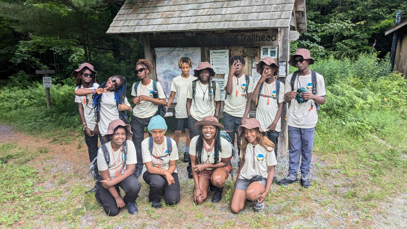
Heading out to the MH&T Flagstaff Hut
Nice hat
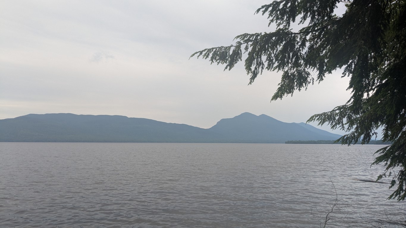
View of the Bigelow Range over Flagstaff Lake
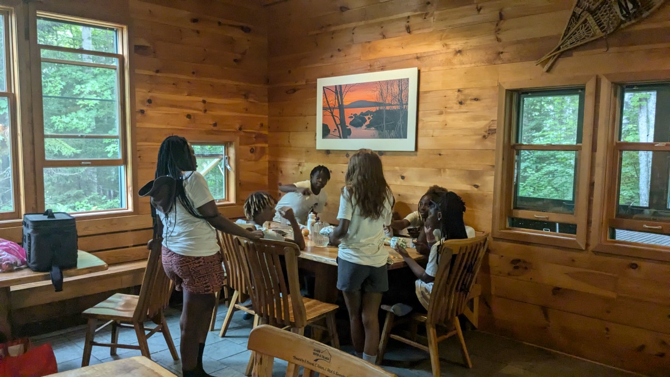
Hut timez
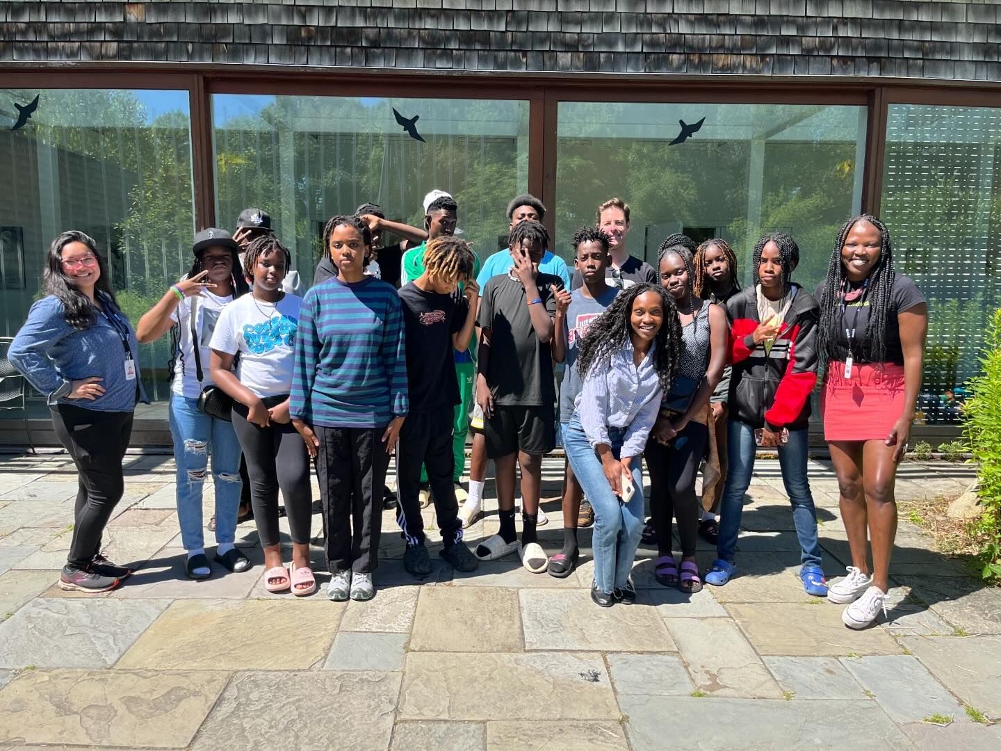
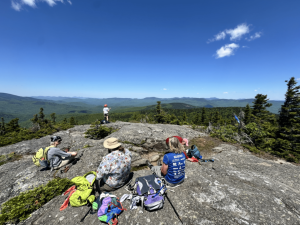
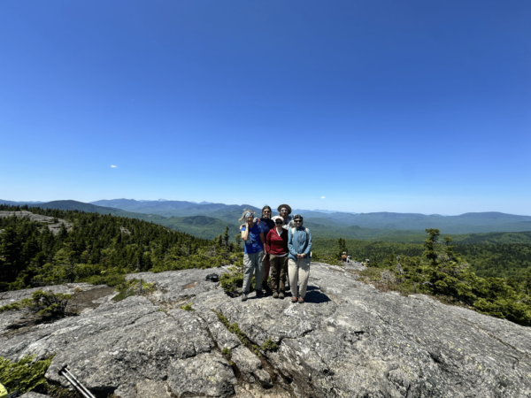
Our most recent #WEOUTSIDE trip had a new wrinkle we are featuring for the summer 2024 trips: an overnight experience in the Maine Appalachian region! Thanks to our partners for this trip, Maine Huts & Trails, we were able to get half the group out to stay in a remote location (the Flagstaff Hut) for a night in the woods.
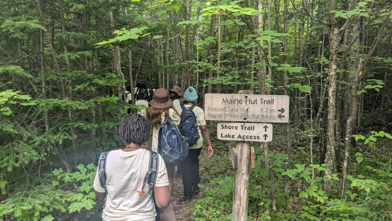
The day was sultry and humid with the threat of heavy rain, but we managed to make good time tramping along the shores of Flagstaff Lake. The view over the lake was stunning as usual, and seeing some higher peaks over the big water was not something these kids have experienced in Maine before. But they wanted to keep moving because they were hungry/teenagers and we kept moving on the trail.
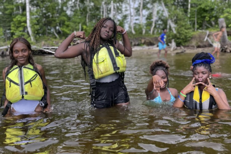
After arriving at the hut the group settled in. Despite the rain moving in, everybody wanted to go for a swim and went down to the little beach, enjoying the view while getting in some water time. When the rain was too heavy everybody headed back to the hut for some down time and eventually dinner.
A rainy night but everybody was snug in their bunks. The weather improved and there was time for some kayaking and canoeing in the cove before tramping back to civilization. Everybody was reluctant to leave!
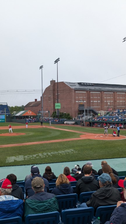
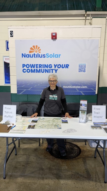
Thanks to the generosity of Nautilus Solar, the Maine Appalachian Trail Land Trust was once again able to attend a Portland Sea Dogs game and set up a table to talk to anybody and everybody about the A.T. in Maine.
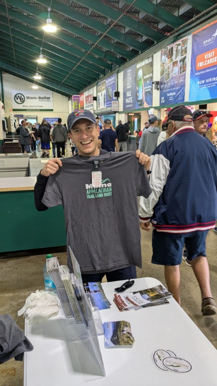
The Sea Dogs and Nautilus Solar Energy have teamed up to shine the light on local non-profit organizations at Sea Dogs home games this season. The Nautilus Solar Community Spotlight will provide 25 general admission tickets for a non-profit organization to each one of our 69 home games. MATLT was able to raffle off some super nice t-shirts and, despite the not-great weather, engage with lots of folks about the outdoors in Maine. Special thanks to volunteer Louise for helping out!
The Maine Appalachian Trail Land Trust is pleased to announce it has been awarded two grants from two Maine-based foundations. The organization received $20,000 from Momentum Conservation for general operations. Momentum was founded in 2012 as a service center to assist conservation organizations in Maine with hands on assistance specific to organizational needs. Their theory of change is rooted in the idea that solutions forged together and in partnership are more lasting and effective, and they also serve to build connections within the conservation sector, and between conservation and broader community issues. The John Sage Foundation has a history of making grants to promote and enhance a harmonious relationship between people and the natural environment. Their funding of $5,000 will go towards the #WEOUTSIDE program.
Thank you to these wonderful organizations for their support!
The Maine Appalachian Trail Land Trust and the Maine Association for New Americans are pleased to announce the #WEOUTSIDE Summer 2024 program! After a training session with our great partners Maine Audubon at Gilsland Farm (above) we have a great slate of trips for the summer for about 30 kids. Some of the excursions include:
Exploring water quality, community well-being, a vibrant economy, and fish and wildlife habitat in the Sebago region with the Portland Water District.
Another challenging hike, this time with Maine Master Naturalist Samaa Abdurraqib.
MATLT is so grateful to be taking part in this program and we are lucky to have so many partners willing to help out. We’ll have more reports on our trips (with photos) as the summer progresses so be sure to check back and sign up for our newsletter if you haven’t yet.
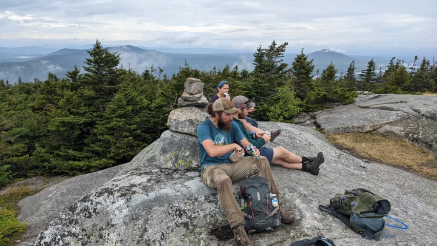
A group of four set out to trek Moxie Bald Mountain the “long way” last weekend on Saturday, June 29. We took a minor detour to avoid a washed out bridge, which brought us along Stream Rd for most of the way in. After the pavement ended and the gravel dirt road began, we got an up close look at the Moscow Wind Farm and portions of the CMP corridor. Despite the long drive in, our excitement for a day in the woods was palpable.
At the trailhead, we geared up to enter the trail enclosed by lush late-spring greenery. A touch of humidity brought us in the path of some flying insects around “Joes Hole,” but as we progressed along the first two miles of the trail, an occasional cool breeze provided relief. Our group lucked out with hardly any rain.
After the first two miles, we crossed an alternate trailhead before beginning our steeper uphill climb of one of the mossiest sections of the A.T. We reached another fork a half mile from the summit and chose to head right towards the summit and then take the bypass trail back down, allowing us to view multiple angles from the top of Moxie Bald Mountain.
During this out-and-back trek, which measured about 9.6 miles, we encountered a dozen fellow hikers, half of whom were thru-hiking. Our summit lunch was peaceful and the views of one of our flagship projects, Bald Mountain Bond, were unbeatable on the way down the summit bypass loop. Though close to 3 hours from Portland, our starting point, this day in the Maine mountains was well worth the trip.
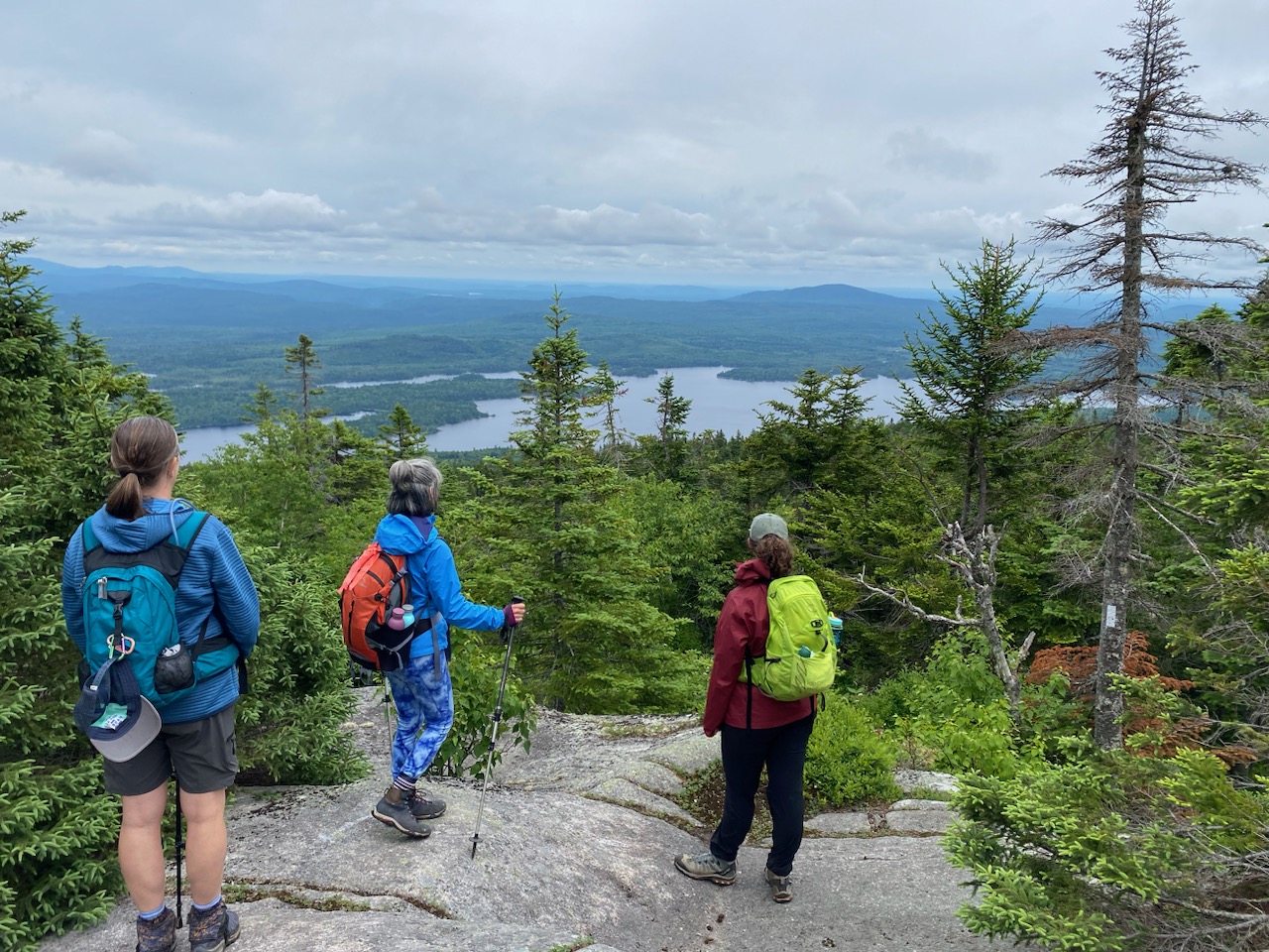
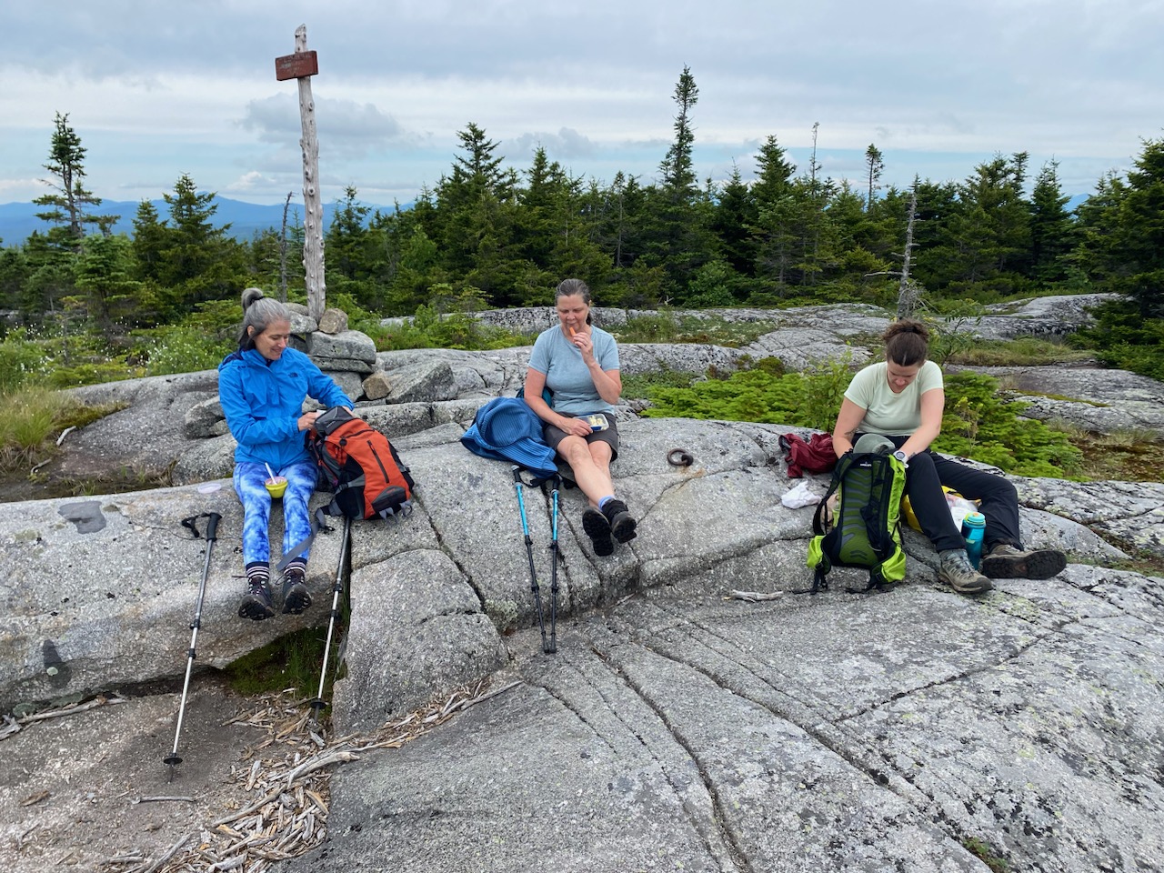
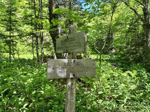
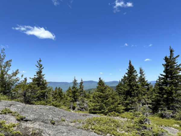
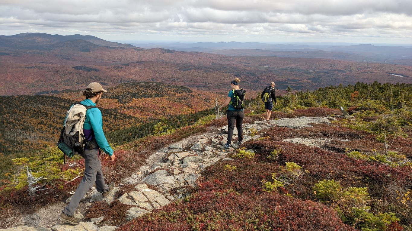
A group of five kicked off the month of June with a community hike up Caribou Mountain via Bog Road. This White Mountain National Forest hike includes 1,961 ft of steady elevation gain through deciduous woods and a brief taste of higher elevation forest before the summit opens up to 360 degree views of the Presidential and Mahoosucs mountain ranges. Our group set out at 9:30 am from a small, full parking lot and reached the 2,480 ft summit at noon on Sunday, June 1. Those with bug nets considered themselves lucky as most of the trail followed a stream busy with mosquitos, mayflies and blackflies. Still, the numerous toads and high elevation trillium made for a delightful day amidst the wildlife as bright sun poked through the tree branches. All were rewarded with a comfortable breeze and plenty of snacks during our lunch break as we took in the scenery and mingled with the other hikers and their dogs on the mostly open rocky summit. We descended relatively quickly and left the scene by 2 pm with mud, sweat and smiles to remember the day.
Hikers on Saddleback Jr. on the Appalachian Trail overlooking the Keystones.
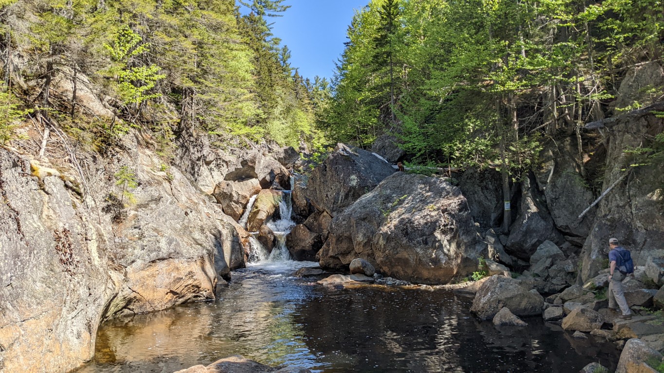
Orbeton Cascades in the Keystones.
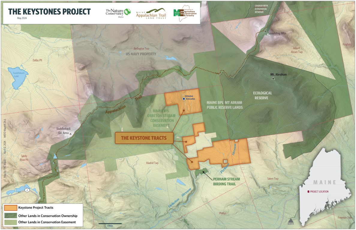
Project map showing conserved lands and the Appalachian Trail.
Over 2,700 Acres of Critical Wildlife Habitat Protected in Maine’s High Peaks Region
Conservation partners and the State of Maine collaborate to conserve important “Keystones” connections between Mount Abraham and Saddleback
The Maine Appalachian Trail Land Trust (MATLT), The Nature Conservancy (TNC) in Maine, and the Department of Agriculture, Conservation and Forestry’s (DACF) Maine Bureau of Parks and Lands (BPL) announced today that 2,706 acres have been added to the Mount Abraham Public Reserve Land managed by the State of Maine. Created through the acquisition of multiple properties, the “Keystones project” holds the larger landscape together, playing a critical role in preventing development and fragmentation while ensuring public access.
In the valley between Saddleback and Mount Abraham, the Keystones parcels form the lynchpin in a landscape that has been gradually conserved over two decades. Protection of these properties builds on recent conservation successes and contributes to a contiguous landscape of over 100,000 acres that are permanently conserved and that play important roles in supporting outdoor recreation, connected wildlife habitats that allow species to move across the landscape, timber harvest, mature forest, and carbon sequestration and storage.
The project partners coordinated with seven different landowners to protect 21 separate parcels over the last three years. The addition of these lands to Maine’s Public Reserve system connects a 5,000-acre conservation easement held by BPL, the Mount Abraham Public Reserved Lands managed by BPL, the Appalachian Trail Corridor, and the Perham Stream Birding Trail property owned by the High Peaks Alliance. The project came together thanks to strong partnerships between the conservation partners and support from the Land for Maine’s Future program.
These lands are part of the traditional territory and are of ongoing cultural significance to the Wabanaki People. They include four and a half miles of frontage on Orbeton and Perham Streams, which are listed as Wild Brook Trout Priority Areas by the Maine Department of Inland Fisheries and Wildlife. The streams join each other before meeting with the upper Sandy River, a tributary to the Kennebec River that is widely considered to be the top priority in Maine for endangered Atlantic salmon recovery.
The Keystones project creates better road access to the Mount Abraham Public Reserve Lands, opportunities for new access points along Perham and Orbeton Streams for fishing, swimming, and hand-carry boat use, a trail connection to Orbeton Cascades – a series of gorgeous waterfalls – and permanent access for hunting and other recreational activities. It also protects local ATV trails, almost five miles of Snowmobile Trail ITS-84, and the viewshed along the Appalachian Trail, located less than a half mile to the north.
“The Keystones project is a testament to what we can achieve through collaboration and dedication to conservation,” said Amanda Beal, DACF Commissioner. “It reflects our shared commitment to preserving critical wildlife habitats and ensuring public access for recreation while maintaining the ecological integrity and beauty of the High Peaks region for generations to come. Furthermore, it moves us closer to the important conservation goals articulated in Maine’s climate action plan.”
“Completing the Keystones project marks an important milestone in our enduring efforts to safeguard Maine’s natural heritage and longstanding tradition of public access,” said Bill Patterson, Deputy Director of the BPL. “These protected lands preserve critical wildlife habitats and ensure public access to outdoor recreation, further enriching the lives of Mainers and our visitors. We sincerely thank all the partners, donors, and landowners whose dedication and collaboration have made this achievement possible.”
“The Maine Appalachian Trail Land Trust is very pleased to see this project completed after years of effort,” said Simon Rucker, Executive Director of the Maine Appalachian Trail Land Trust. “The lands along the A.T. in Maine play a critical ecological role, are important for outdoor recreation, and provide a wealth of community benefits. Thank you to partners, donors, and the landowners for making the Keystones project a reality.”
“This conservation effort was a model of conservation collaboration and we’re so grateful to our partners for an amazing outcome,” said Kate Dempsey, State Director of The Nature Conservancy in Maine. “This conservation of the Keystones is a critical step in maintaining biodiversity and a climate-resilient landscape in our region as we adapt to the changes we’re already experiencing in Maine, as well as those yet to come.”
This project was supported by funds from the Land for Maine’s Future program, grants from The Nature Conservancy in Maine, Maine Appalachian Trail Land Trust, Maine Mountain Collaborative, Davis Conservation Foundation, component funds at Maine Community Foundation, the John Sage Foundation, the Fields Pond Foundation, L.L. Bean, and The Betterment Fund, and private donations.
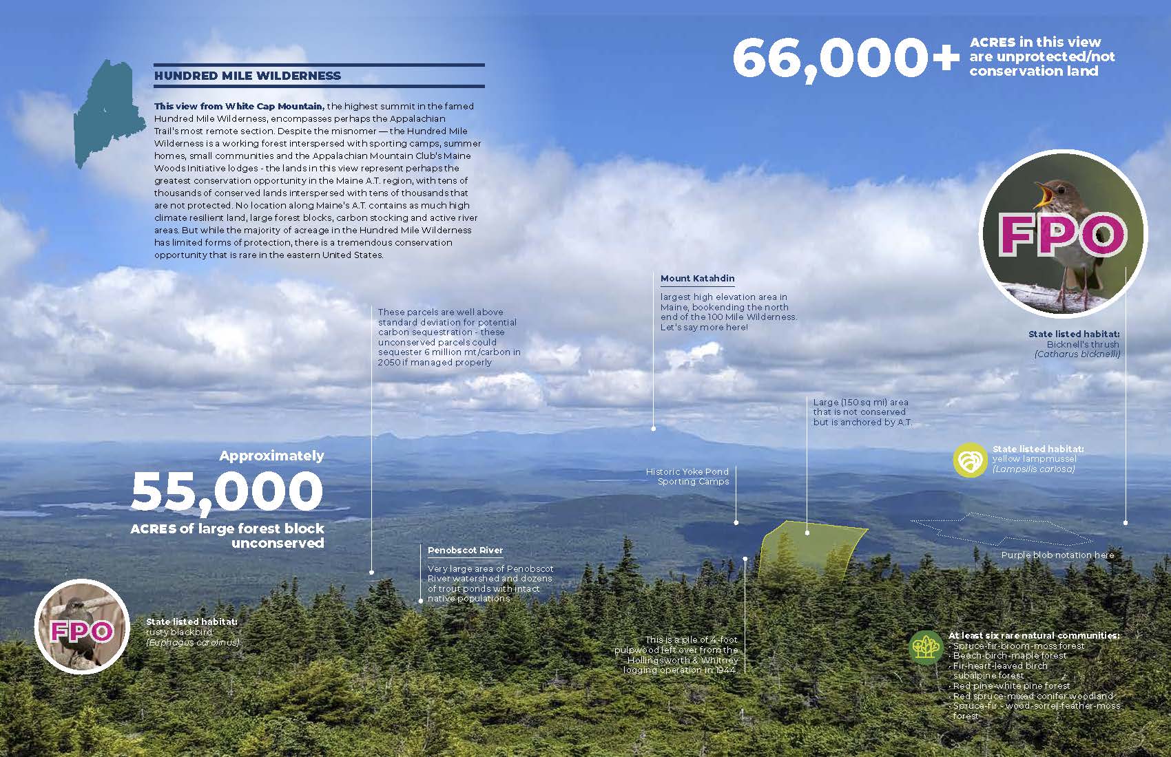
First created in 2020, MATLT’s innovative mapping tool will be getting a refresh and will feature image outputs in 3D! The MATGIC tool (Maine Appalachian Trail Geospatial Information for Conservation) focuses on ecological values in the landscape and is now trying to assess data from a human perspective. This view is looking north from the summit of White Cap Mountain towards Katahdin, over the Hundred Mile Wilderness. What makes this a special landscape? Why does it look like this? What are the ingredients of a healthy ecosystem and a recreation destination?
Later this summer, MATLT will be publishing a report with this information on about a dozen of these views. For now, you can catch up on the Maine A.T. 2020 report for background on where this data comes from and how we made it look so awesome.
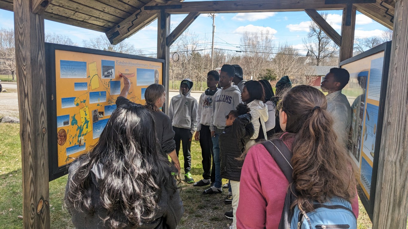
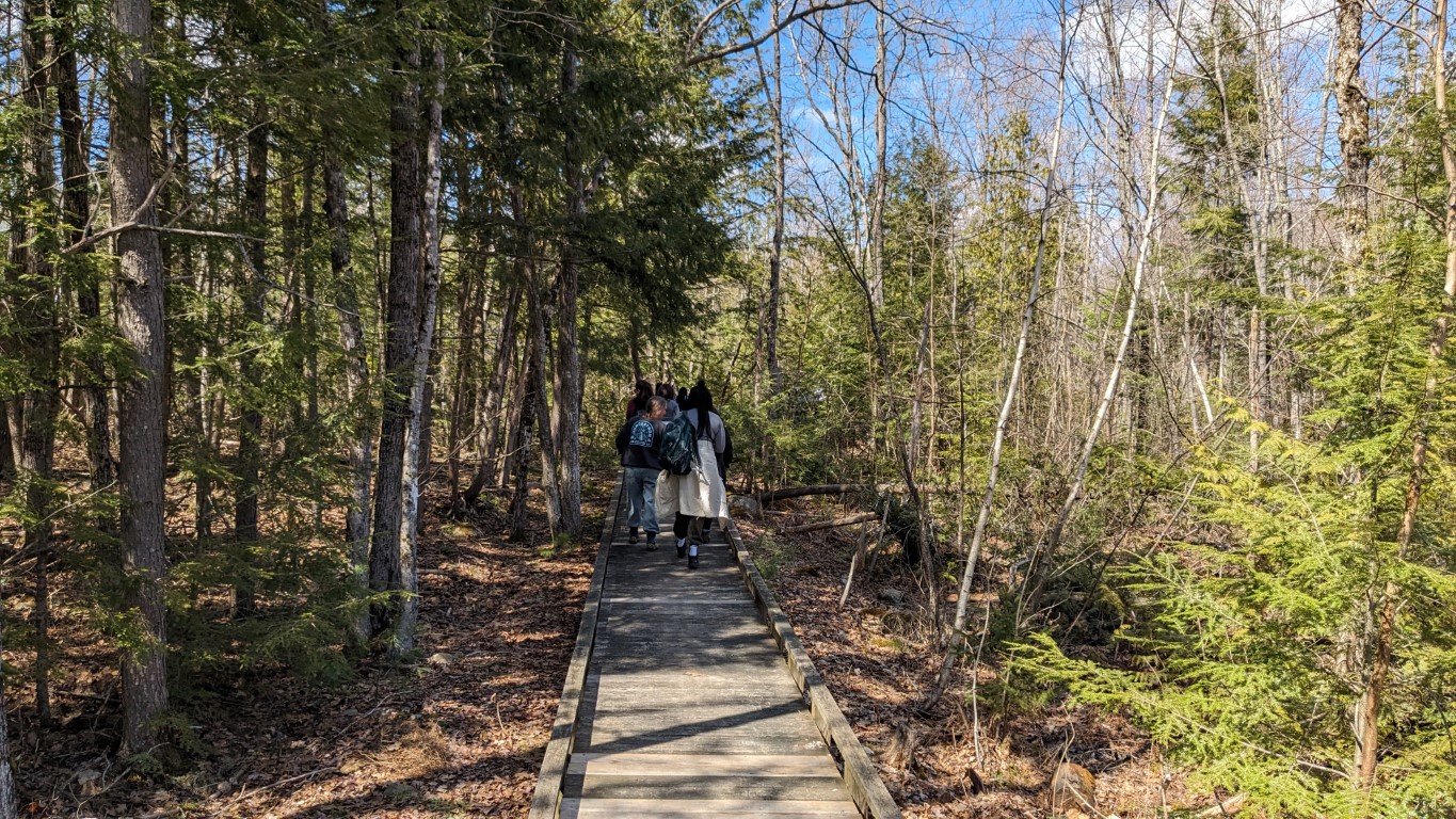
The #WEOUTSIDE crew recently paid a visit to Indian Island, home of the Penobscot Nation, to learn about how the natural world all around us informs Wabanaki perspective and lifeways. We were SO fortunate to have our guide, Tami, leading us on some of the trails around the island. Tami is in the Nation’s Department of Agriculture. We learned about how some plants all around us – cedar, black ash, spruce, and more – can be used as medicine and in ceremonies. The kids – who are very curious about native cultures and religions – were quick to ask questions about Gluskabe at his statue, or about what the Natural Resources officers do, or how ancestors were honored. Tami was gracious enough to take us to the new farm property the Nation acquired recently, and to show us all the work that has been done to prepare for growing season.
It was a wonderful way to wrap up the #WEOUTSIDE Winter season!
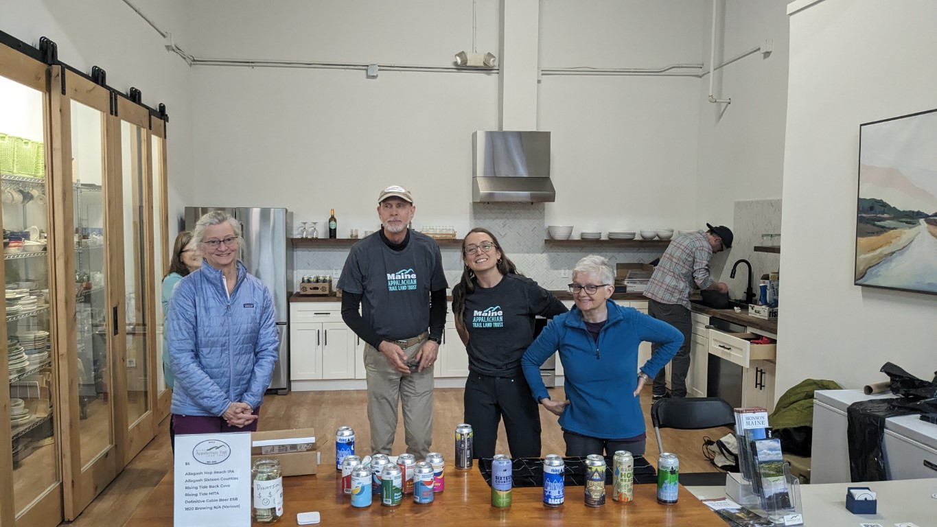
Great group of volunteers!
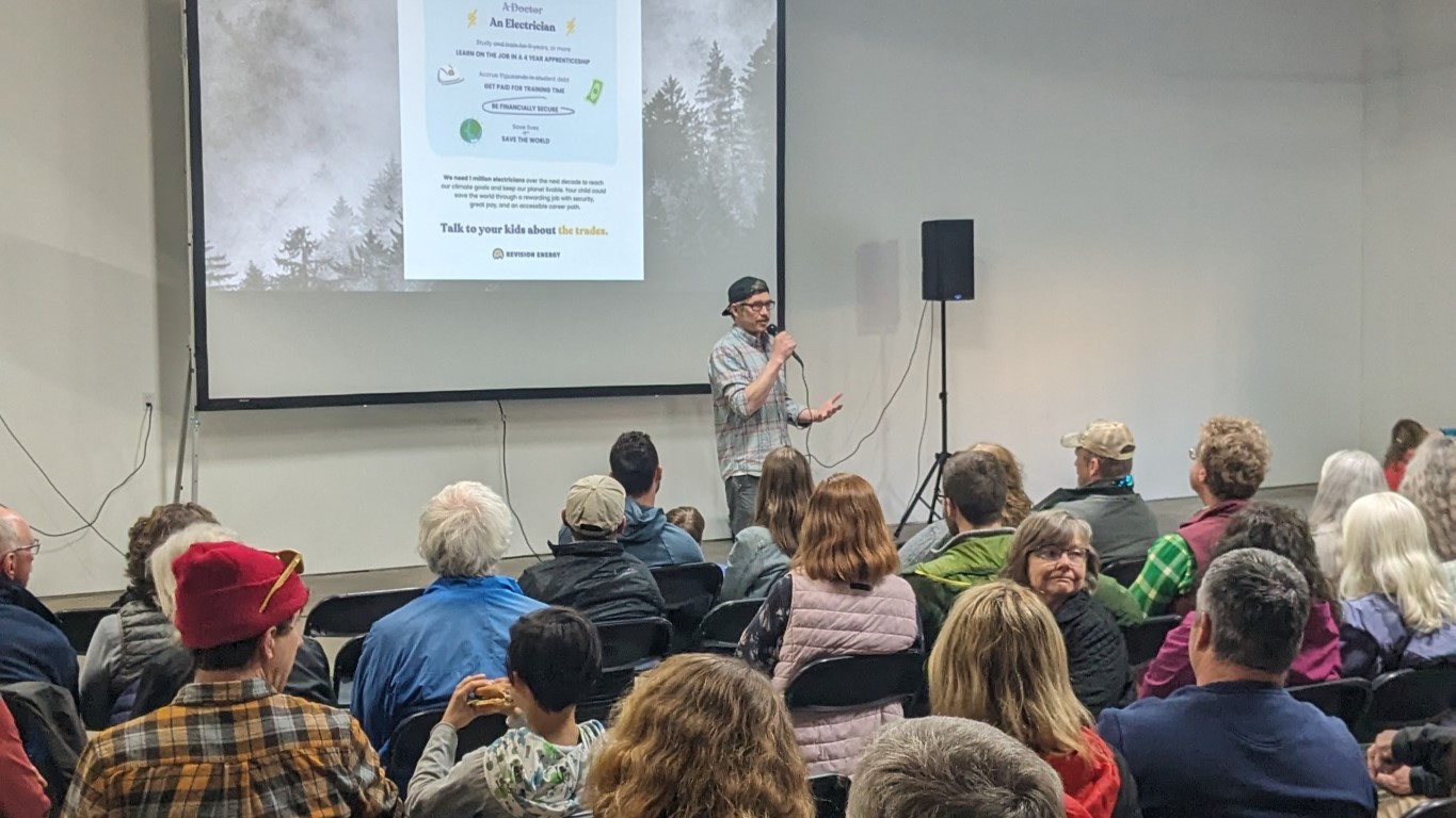
MOFF’s Nick Callanan introduces the lineup, including the #WEOUTSIDE Borealis segement.
Ooooh
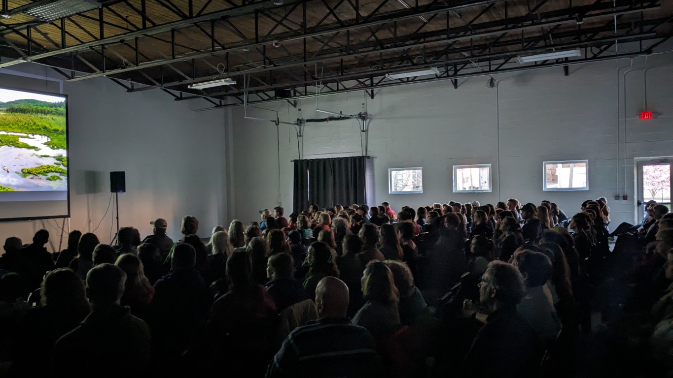
MATLT was lucky enough to be the featured nonprofit for the Maine Outdoor Film Festival’s Earth Day screenings! This event, held with Northern Forest Canoe Trail, featured several thoughtful films which focused on paddling, farming, and the plight of indigenous First Nations in Canada. There was an undertone of sorrow in these films which, while celebrating the humanity and community around some of these rivers, also dealt with the changes we have inflicted on our planet. Great films, lots to think about.
We were fortunately enough to also have the #WEOUTSIDE Borealis segment screened also, since we always want to reach new audiences about this great program. And finally, the sales of beer brought in donations for the High Peaks Initiative program, which is focused in conservation and recreation in Maine’s High Peaks (around the A.T. near Sugarloaf and Saddleback).
Thank you to everybody who attended and to our super volunteers!