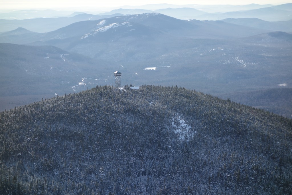
Maine Appalachian Trail Land Trust Board Member David Kallin recently gave a TED talk about his hike. You can see their trail blog here but seeing David describe the challenges and rewards of hiking the Appalachian Trail with his family is worthwhile. Take a look and be sure to comment.
Author: Admin
Orbeton Stream Project Complete!
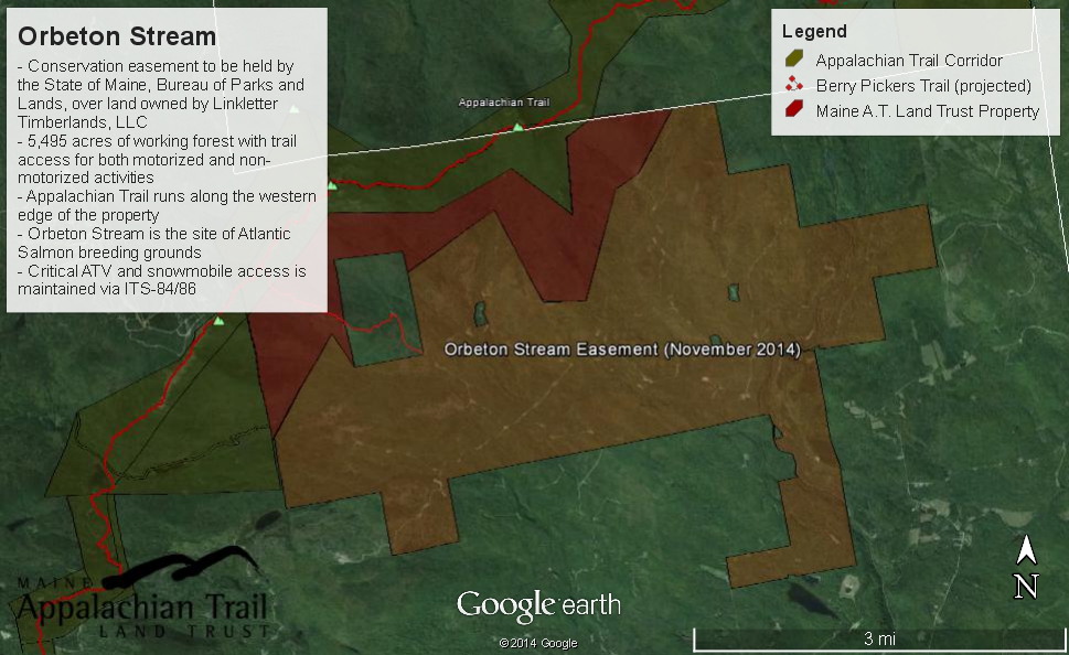
Maine A.T. Land Trust recently completed our project to acquire an easement over 5,774 acres of land in Madrid, Maine. We worked with The Trust for Public Land over a period of six years to bring this project to completion. The conservation easement is now held by the State of Maine and will ensure that these lands remain available to recreation and forest products management.
There has been a lot of items in the press about this project. Here is an op-ed from the Sun Journal written by board member Lloyd Griscom, and here is one written by our Vice President, Peter S. McKinley.
We will be devoting significant time to creating public access areas and trails on this property, especially given that we are the conservation owners of the land just to the west. A new Appalachian Trail side trail called “The Berry Pickers Trail” should be completed later this summer. It will begin on this property, cross our lands, and then traverse the ridge to the summit of Saddleback Mountain. Currently, the mountain has no access from the eastern side. Should be a pretty exciting summer!
Great Maine Outdoor Weekend Poll
Great Maine Outdoor Weekend February 13-15
 The winter edition of the Great Maine Outdoor Weekend is fast approaching, and as usual, we will open a poll to see where we should have a ski/snowshoe/hike outing on/near the Appalachian Trail here in Maine. The trip will be open to anybody who would like to come, and we select events to get the most people out on the trail. If have any recommendations for a spot, please let us know! Some ideas we’ve already talked about are: Table Rock (the Grafton Notch one) and Puzzle Mountain.
Key Funding for Gulf Hagas – Whitecap Project Secured

With the passage of the Federal Budget for 2015, the Gulf Hagas – Whitecap project has received an additional $1.7 million in funding through the U.S. Forest Service’s Forest Legacy program. The program encourages the use of conservation easements to conserve working forests, wildlife habitat, soil and watershed protection, aesthetics, and recreational opportunities. This project, on which Maine A.T. Land Trust is partnering with The Forest Society of Maine, will encompasses sustainably managed forest, high elevation lands adjacent to the Appalachian National Scenic Trail, and the watersheds of three major tributaries that flow into the West Branch of the Pleasant River.
While this is a huge step towards the eventual completion of this project, additional funding still needs to be secured and we’re not there yet. For now, we wanted to thank all of our members who reached out to Maine’s congressional delegation to voice their support for the draft budget that ensured funding!
LightHawk Monitoring Flight
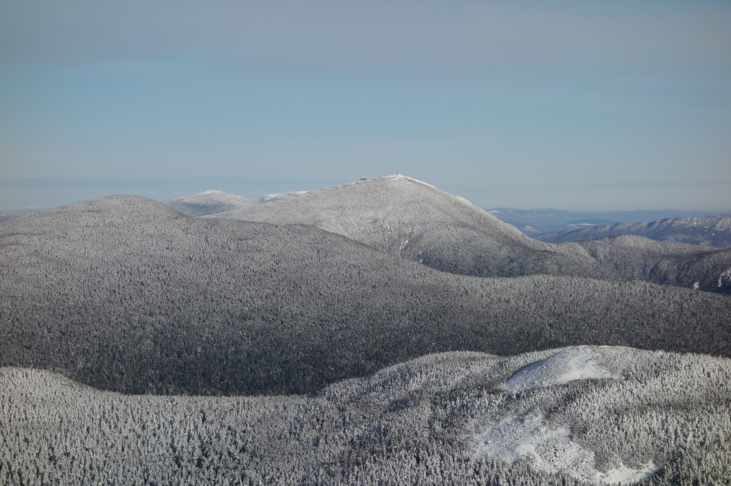
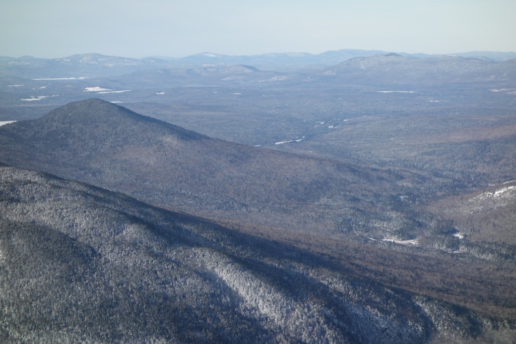
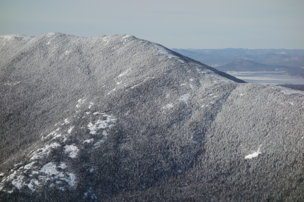
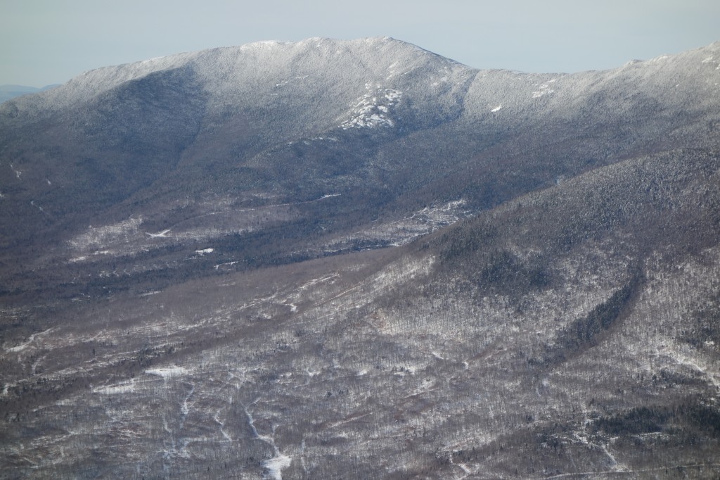
The Maine Appalachian Trail Land Trust was fortunate enough to receive a free monitoring and management flight from LightHawk, a national organization devoted to providing conservation services to land trusts for the purposes of collecting data, imagery, and observations about conserved lands.
In our case, there were two properties in question: a conservation easement over the highest terrain of Mount Abraham, and a fee parcel on the southeastern flank of Saddleback Mountain. Both of these properties are well over one thousand acres in area, contain difficult terrain, and are hard to access from the ground. This LightHawk flight enabled Maine Appalachian Trail Land Trust to aerially monitor the Mount Abraham easement and compile data and images for a new management plan for Saddleback Mountain. Without this generous donation, we would have had to expend many hours and many thousands of dollars on these critical land trust duties.
Special thanks to Jonathan Milne, Atlantic and Midwest Region Program Manager for LightHawk, and pilot Jim Knowles.
All photos by Simon Rucker/Maine Appalachian Trail Land Trust/LightHawk.
November e-Newsletter
Our Fall Newsletter (paper version) has been posted on this page at right, but we also send out monthly email newsletters. The November edition can be found here.
If you would like to subscribe to the email newsletter, you can click on the big blue button to the right.
Comtois Easement Monitoring
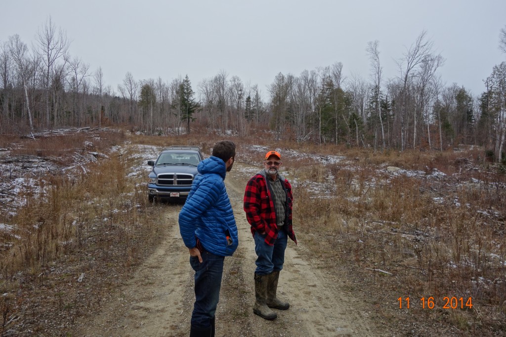
Stewardship is just as important to a land trust as is the protection of new lands under threat. If good stewardship practices are not followed, lands are at risk and the efforts at protecting land can all be wasted. This is true of lands that conservation organizations own (the “fee”) and lands over which a land trust holds a conservation easement.
Maine A.T. Land Trust is fortunate enough to work with landowners like Paul Comtois, who are good stewards in their own right.
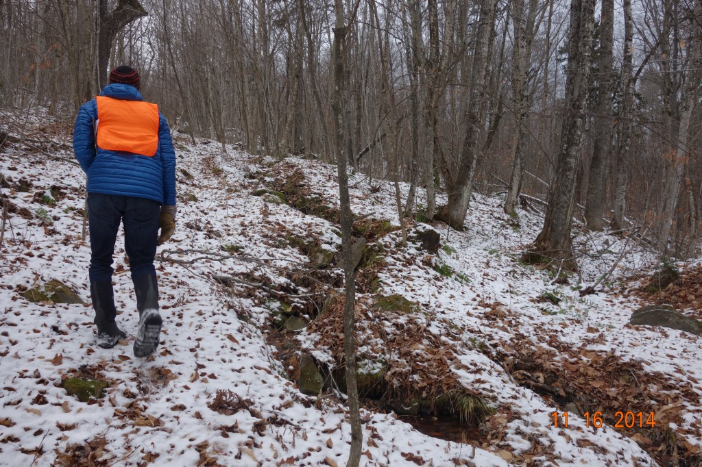
Paul wrote an article for our Summer Newsletter about the process of putting his land in conservation, and he has remained an active steward ever since. He’s even directed land trust staff and board members to other properties along the Appalachian Trail which he thinks might be a good fit for future conservation. Landowners know their terrain better than anybody, and Paul is proof positive of this rule.
Collaborating with Our Conservation Partners
By William L. Plouffe, Board President
Fulfilling the Maine AT Land Trust’s mission to enhance protection of lands surrounding the Appalachian Trail in Maine requires collaboration with others; non-profits, governmental agencies, corporations and individuals. To that end, Board member Tony Barrett and I recently took AT related field trips with representatives from some of those partners.
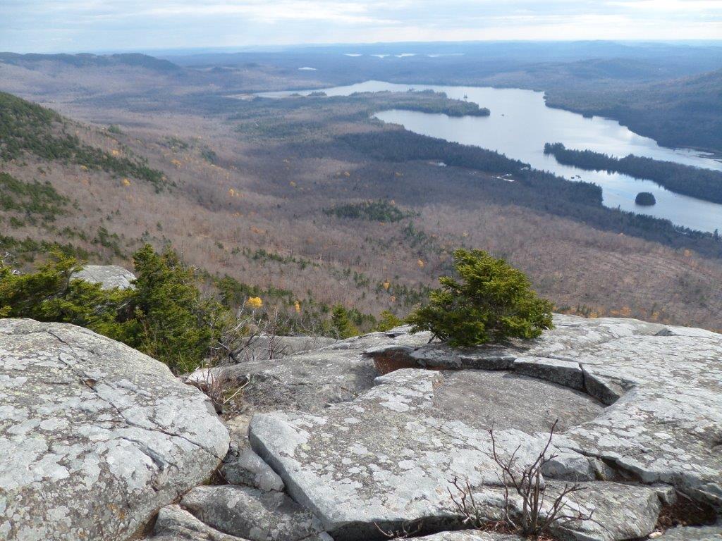
In August, we joined the Trust for Public Land, the Appalachian Mountain Club and Trout Unlimited on a site inspection of Bald Mountain Pond and Moxie Bald North Peak. After driving over ten miles of dirt roads, we launched canoes and kayaks from the State owned boat launch at the south end of Bald Mountain Pond and paddled north. Bald Mountain Pond has an essentially undeveloped shoreline, clear water and great depth that provides habitat for one of the very few Arctic Char fisheries in New England. On this clear day we took in the views of Moxie Bald and other peaks that border the pond and listened to a pair of loons. After a two mile paddle we pulled out at the Moxie Bald Lean-To and headed up the AT to the North Peak side trail. From the open summit of North Peak there are expansive views of Bald Mountain Pond and of the route of the AT both north and south. As of now, the majority of the shoreline of Bald Mountain Pond and a portion of North Peak, with old growth woodlands, are owned by Plum Creek. If they could be acquired for conservation they would be a great addition to AT experience; the type found in few places outside of Maine.
In October, Tony and I were part of the annual AT Partners Hike sponsored by the Maine Appalachian Trail Club. We were joined by Appalachian Trail Conservancy, National Park Service and Maine Department of Agriculture and Conservation. MATC President, Lester Kenway, led us on the AT as it follows Long Pond Stream to Slugundy Falls and then climbs steeply to Barren Mountain. Lester discussed the long running “debate” in the AT community about stream crossings in Maine, which are notoriously difficult. Should bridges be built? Should alternative routes that avoid the worst crossings be offered to hikers? Should the crossings be left as is as part of the adventure? MATC’s Overseer of Lands, David Field was also along and provided many historical anecdotes about development of the AT in Maine. While standing at Barren Ledges looking across Lake Onawa to Boarstone Mountain, Dave related the story of a dispute between Myron Avery and the Moore family, owners of Boarstone, over the correct spelling of the mountain’s name; Boarstone or Borestone. Things apparently got pretty intense and in the end Avery’s request for permission to have the AT linked to the mountain by a side trail was denied. To this day, the MATC map uses “Boarstone” and the DeLorme Atlas uses “Borestone.”
Having Maine AT Land Trust Board members out on the AT with partner organizations is not only very important but also a way to leverage the work of out one person staff. Besides that, it’s great fun!
Maine A.T. Land Trust Comments on Redington Missile Defense Facility
Note: The following comments were submitted to the Department of Defense’s Missile Defense Agency in response to the Environmental Impact Statement the agency is currently compiling.
Thank you for providing the opportunity to comment on the Environmental Impact Statement (EIS) process regarding the proposed additional location for the Continental United States Interceptor Site (CIS) at The Center for Security Forces Detachment Kittery Survival, Evasion, Resistance, and Escape Facility (SERE East), Redington Township, Maine.
The Maine Appalachian Trail Land Trust was formed in June 2002 as an independent land trust for the purpose of acquiring and protecting the land surrounding the Appalachian Trail (A.T.) in Maine for public benefit. The A.T. lands in the High Peaks Region of Maine represent some of the most diverse natural communities in the state and provide an important recreation resource. Maine A.T. Land Trust owns the land just east of the Appalachian Trail corridor on Saddleback Mountain and has interests in other properties in the High Peaks region. We are concerned that the locating of the CIS at the SERE East facility will adversely impact not only the Appalachian Trail itself (the corridor of which is surrounded by the facility for over two miles) but the surrounding natural landscapes and intact forest blocks which are integral to the region.
In our role of carrying out our mission to protect the land surrounding the Appalachian Trail, the siting of the CIS in such close proximity to the A.T. must be examined closely. At a minimum, approximately 350 acres in seven non-contiguous blocks would be converted from mature spruce/fir and mixed hardwood forest to CIS facilities. The facilities would have to be brightly lit around the clock and would be entirely powered by generators. Approximately 1200 to 1500 individuals would be operating the CIS. All of this activity would be occurring approximately one half mile from the most famous walking path in the world, in the midst of one of the longest stretches of the Appalachian Trail without a public road crossing (twenty miles).
The region in which the SERE East facility lies depends on outdoors tourism, and the Appalachian Trail is a considerable draw. But other aspects of outdoor recreation would also be effected by the CIS. Naturalists are concerned with the impact on wildlife habitat – those in the A.T. area are likely to have a significantly lower chance of seeing threatened or elusive species like the Bicknell’s Thrush or the Canadian Lynx. They will be concerned with water quality and the increased potential for industrial accidents. The SERE East facility also contains Redington Pond which is the source of Orbeton Stream – headwaters of an Atlantic Salmon which has just recently been successfully reintroduced.
The Maine Appalachian Trail Land Trust is concerned that the choice of The Center for Security Forces Detachment Kittery Survival, Evasion, Resistance, and Escape Facility (SERE East), Redington Township, Maine, as a site for the CIS would jeopardize the Appalachian Trail experience and environment. We request that you examine closely these and other impacts on the trail and the natural setting through which it passes in this region.


