Category: News

Piazza Rock and Eddy Pond Trip Report

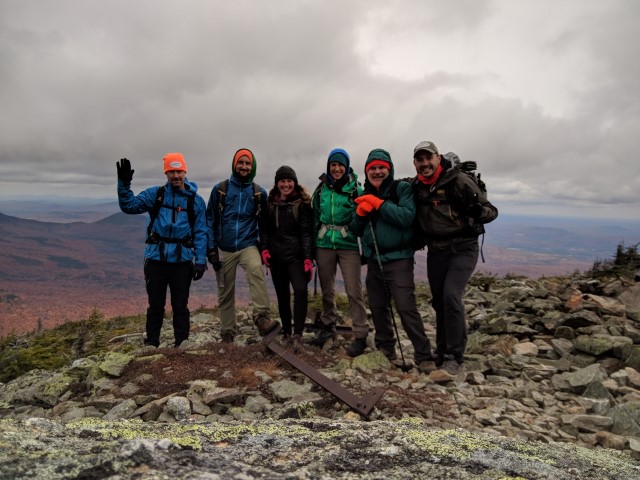
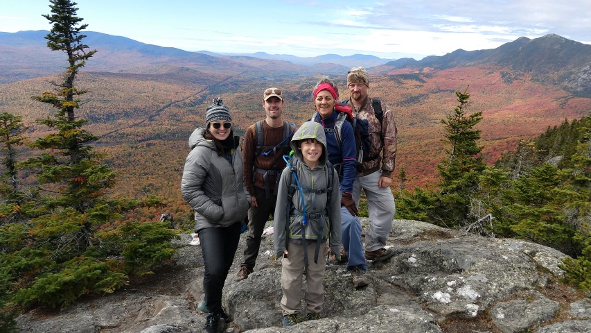
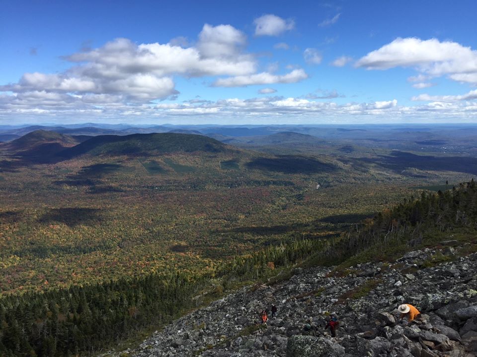
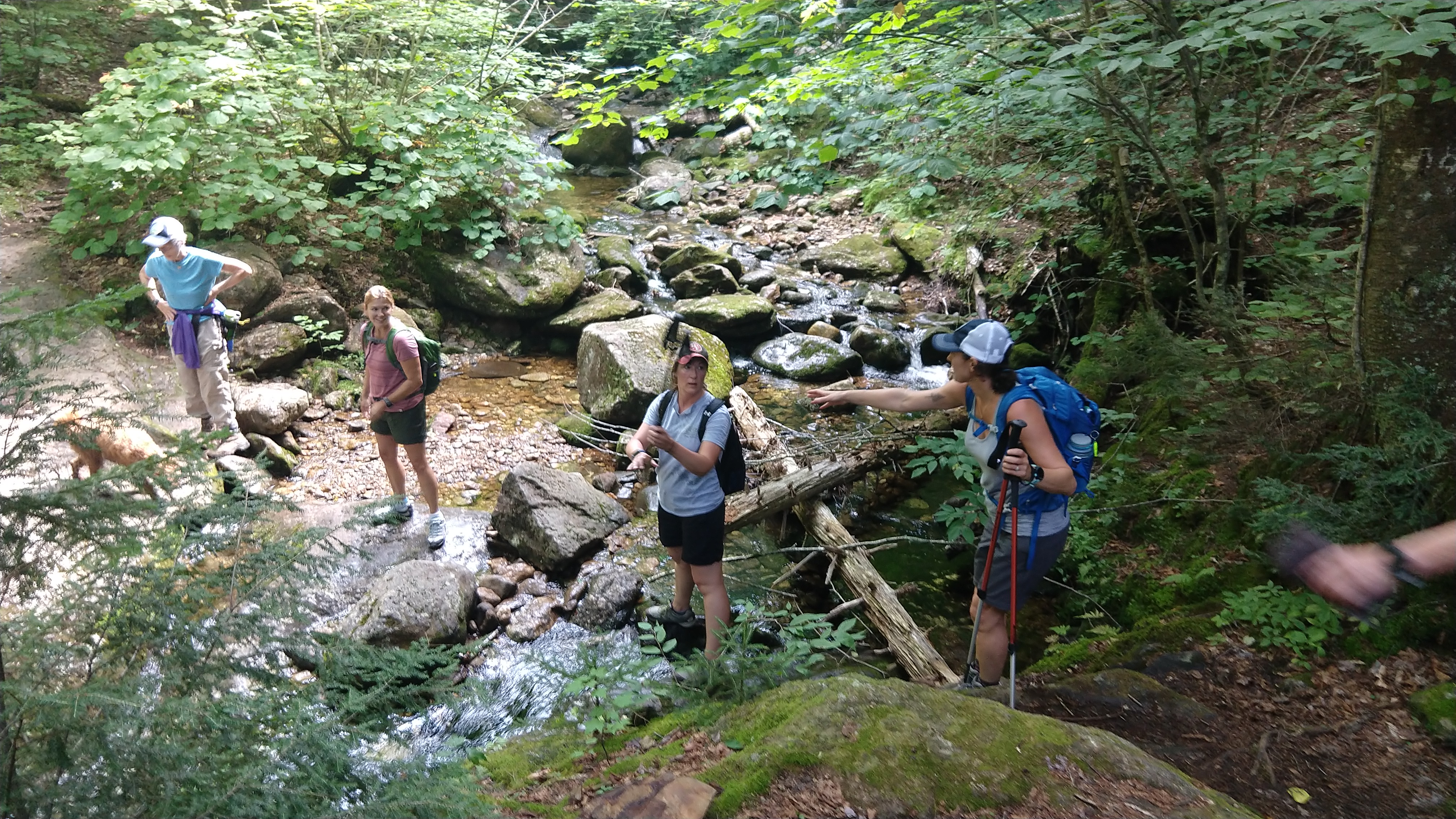
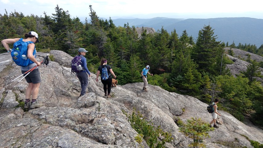
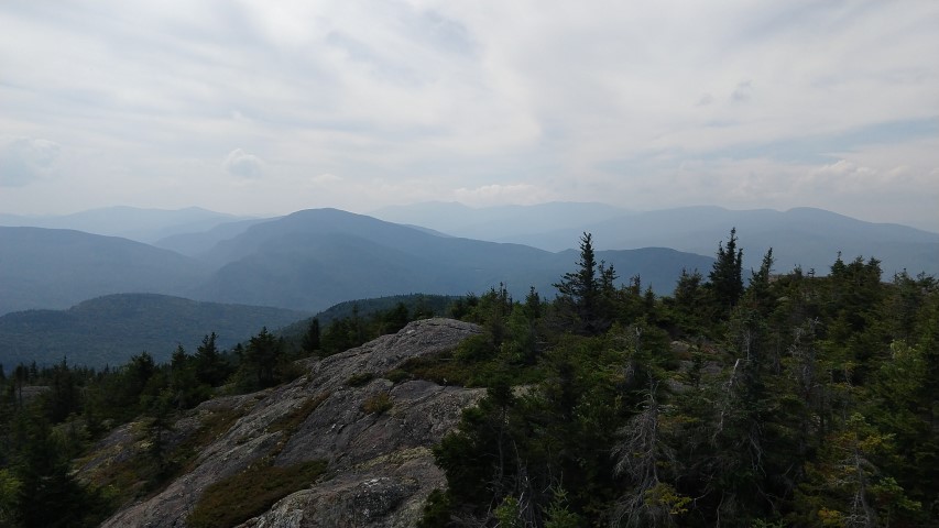
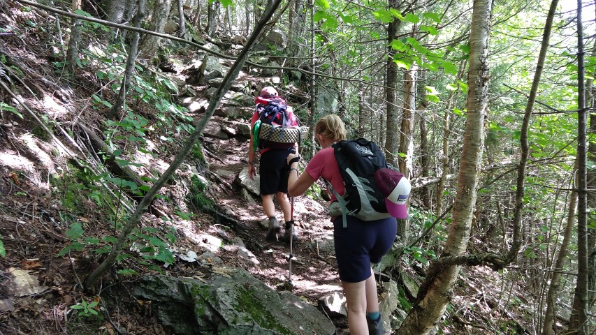
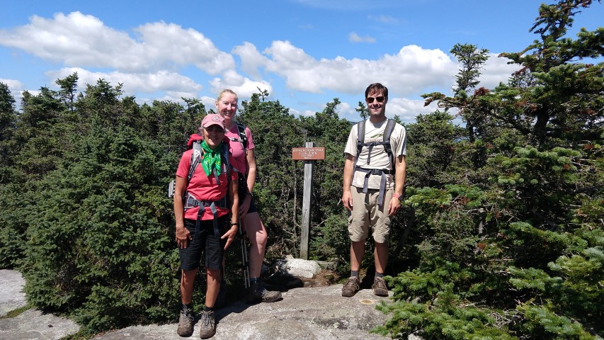
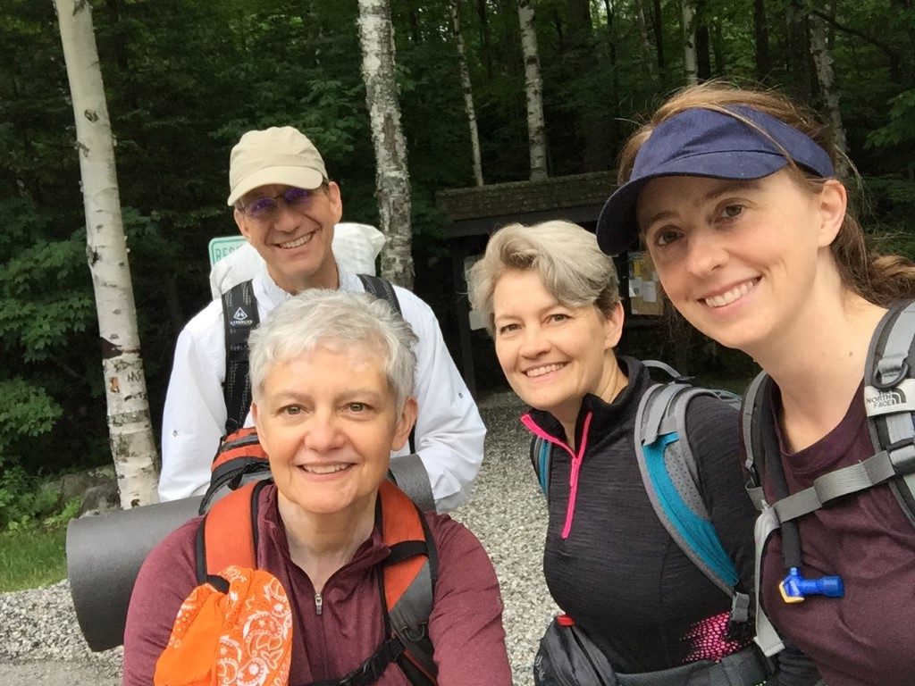
Made it!
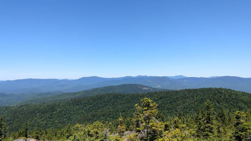
Piazza Rock is so big that one photo can’t contain it.
Stark beauty of Eddy Pond.
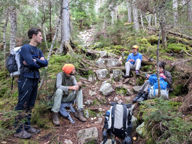
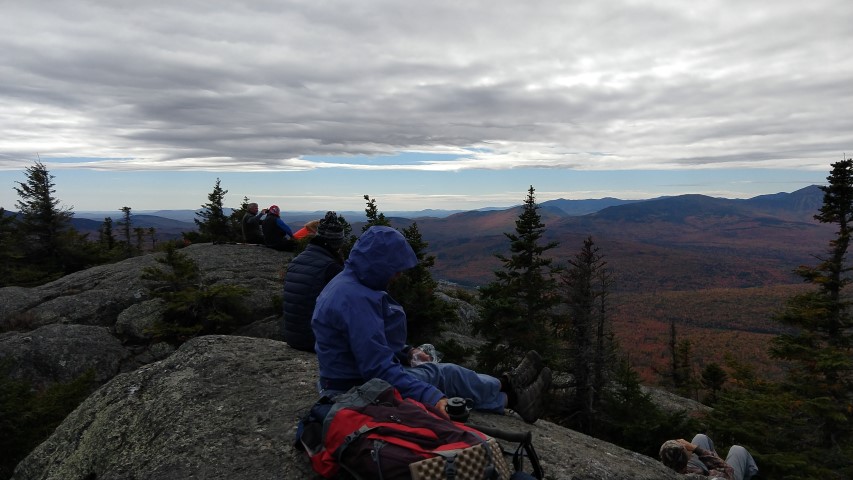
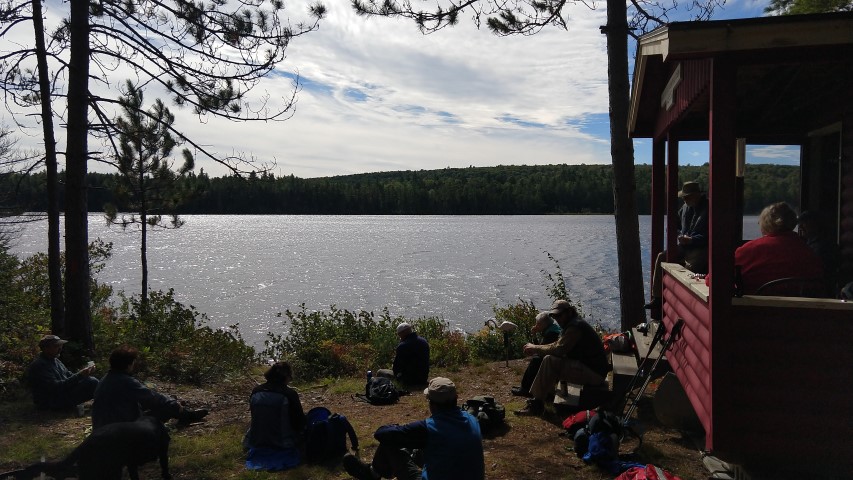
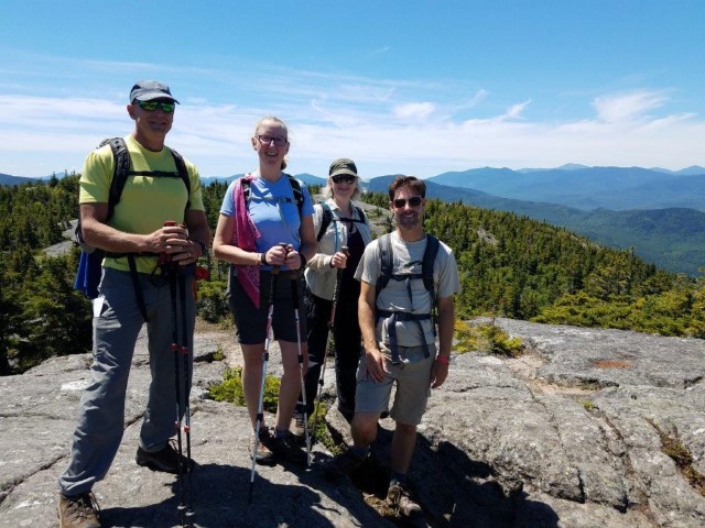
Break time.
Great day out on the A.T.!

By Louise Jensen

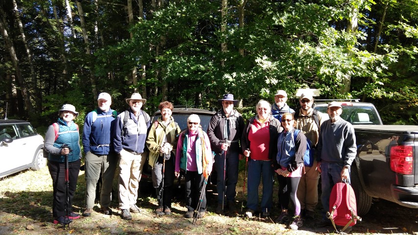
Saturday temps were predicted to be above freezing with partly cloudy skies and some high winds. Not a bad weather day for a winter hike. Our 2 cars with 6 hikers arrived at the A.T. trailhead on Route 4 in Sandy River Plantation around 10am where the parking lot was not plowed. No surprise there. Fortunately, we were able to squeeze the vehicles along the side of the road.

Snowshoes were the preferred mode of transport for the day.  The trail was snow covered but broken out a bit and the surface was hard with some icy spots. Pretty decent conditions for snowshoeing.  Although the wind howled a bit overhead, the trees, covered with that winter wonderland mantle of snow, kept us protected most of the time.

Heading out we descended slightly and crossed the bridge over the still flowing Sandy River. Ascending gradually, we reached a snowmobile/logging road at about 1 mile or so in. Looking both ways – it was “Snowdeo” weekend – we safely crossed over and reentered the woods. Eventually, we reached the Piazza Rock lean-to and the side trail to the Rock.  We decided to trek on to Eddy Pond and explore the Rock on our return hike out. Further along the trail are some boulder caves but investigating those was not on the day’s agenda.

We continued up and down through narrow sections where snow laden branches crowded the trail. We passed Ethel pond on the right and Mud pond on the left, finally reaching Eddy Pond where the wind howled and lunch time was spent huddled under the canopy. Once nourished, we spent some time by the shore of the pond, admiring the cold gray starkness of the sky and the frozen pond surrounded by the evergreen-covered foothills of Saddleback.

The wind eventually chased us out and we trekked back to explore Piazza Rock. The rock formation is an enormous overhanging flat-topped boulder with trees growing out from the top. It is amazing to behold and we all had notions of what it looked like: a snake, a dinosaur head, even a sock puppet. It is definitely worth the .1 mile climb off the beaten path. Unfortunately, we couldn’t linger too long as it was growing late so we hurried out before it got dark.  All would agree later that this was a really wonderful and fun winter hiking adventure!


Maine A.T. Land Trust Awarded Davis Conservation Foundation Grant

We are pleased to announce that our Appalachian Trail Landscape Partnership projects have been awarded a grant from the Davis Conservation Foundation!  The Davis Conservation Foundation is a public charitable foundation established in 1989 by Phyllis C. Davis and H. Halsey Davis of Falmouth, Maine, to support protection of the environment and conservation of our natural resources. The foundation was established following Mr. Davis’ retirement as President and Chairman of Shaw’s Supermarkets, Inc. and has provided over $15.8 million in grants to conservation organizations since its founding in 1989.

The A.T. projects include two in Maine’s High Peaks and and two in the fabled 100-Mile Wilderness region just south of Katahdin.  These funds will aid the Land Trust’s effort to complete projects that are of national significance to the Appalachian Trail and will be critical for Maine’s recreational, economic and ecological future.

Thanks again to the Davis Foundations!  They have done incredible work in Maine over the years.

Maine A.T. Land Trust Receives Grant from Belayer Fund

We are pleased to announce that the Maine Appalachian Trail Land Trust has received a grant from the Belayer Fund of the Maine Community Foundation!

The Maine Appalachian Trail Land Trust is currently working on four conservation projects for the Appalachian Trail Landscape Partnership, which aims to bring together public and private partners to connect and conserve the natural, ecological, cultural, historic, scenic, recreational, and community values of the exceptional landscape associated with the Appalachian Trail and the Appalachian Mountain Range. Maine has two A.T. Priority Landscapes designated by the Partnership (High Peaks and 100-Mile Wilderness) and the Land Trust is spearheading two projects in each of those regions.

We are grateful to MCF for their support of our conservation work, but more importantly all the work MCF helps fund in Maine.  In 2016, the Maine Community Foundation distributed $33.5 million in grants and scholarships from its charitable funds!

Redington Forest Stewardship Report

Nice ending.
Black Nubble.
Trails and roads were wet and overgrown.
Flat! Make sure you have good tires if you venture out on logging roads.

The Maine Appalachian Trail Land Trust had our final visit on the ground, rather than in the air, to the soon-to-be completed Redington Forest conservation easement area.  As a co-holder of the easement with the U.S. Navy via the REPI program, it is our responsibility to ensure that the baseline documentation is completed prior to the closing of the deal.  This effectively means that we are taking a snapshot – through photos but also data and analysis – of what the property looks like when it is conserved.  This will ensure that we, as stewards of the land in perpetuity, have an accurate picture of the conservation values we are aiming to protect.  In fifty years, people should be able to look to the baseline as a document by which stewardship standards can continue to be measured.

It’s also fun and exciting to get out on a new project area and do some exploring!  Just make sure that your truck has good tires when you head out on remote logging roads.  Thanks to board member Claire Polfus and board vice president Pete McKinley for coming along!

Little Bigelow Trip Report

Flagstaff Lake
The (big) Bigelows.
Summit.
Sugarloaf
Woo

By Louise Jensen

It felt like a late summer day when four early morning risers and one spunky black lab named Shyla arrived at our meeting place in New Portland. From there we consolidated cars and drove another 30 minutes to the Appalachian Trail trailhead located on East Flagstaff Road.  We had a beautiful day ahead of us to hike Little Bigelow Mountain.

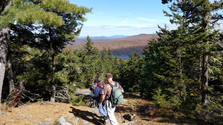
Little Bigelow is part of the Bigelow Range in Maine’s Bigelow Preserve. The Preserve is made up of over 36,000 acres of publicly-managed land near Stratton in Western Maine. This beautiful mountain range encompasses 7 summits including the 3,040 foot peak of Little Bigelow.  The first section of the hike rises gradually through a dense forest of hardwood alongside a brook that, under normal conditions, would be gushing along but in near-drought conditions showed many sections of the brook to be dry or at a trickle.  This was not welcome for some very late-season northbound through-hikers in search of a decent water supply whom we met later in the day.

We continued along the trail in a shimmering canopy of gold leaves overhead and then across some beautiful ledges where we had gorgeous views of Flagstaff Lake, eventually arriving at the East peak. From the East Peak we had amazing views of Sugarloaf and the rest of the Bigelow range. The warm temps, blue bird skies and the autumn fall colors all contributed to an idyllic setting for a long lazy lunch break on the ledges.

Before venturing out to the “true” and viewless summit, 2 southbound hikers stopped and chatted with us for a few minutes telling us that they did not start in Baxter park but just outside it which was rather curious. We soon learned why: a cat was traveling with them in a backpack!  Pets are not allowed in Baxter State Park, hence the outside-the-park start. The A.T. is filled with all sorts of wonders.

The hike along the trail to the summit was still quite lush and green for this time of year. We ventured a little further in search of another view of the Lake but instead found another ledge with yet another fabulous view of the range. As this supposed lake view was nowhere in sight, we opted to turn back before this hike turned into a 10 mile affair instead of a 6 or 7 mile one!

Tired but happy we headed back to the trailhead.  Everyone agreed that we had one of the most perfect days to be in the Maine mountains.

LightHawk Conservation Flight Over Redington Forest

The length and breadth of Maine’s High Peaks. Maine Appalachian Trail Land Trust, flown by LightHawk.
Redington Forest. Maine Appalachian Trail Land Trust, flown by LightHawk.
Crocker Mountain and Redington Forest. Maine Appalachian Trail Land Trust, flown by LightHawk.
Banking towards the Bigelow Range. Maine Appalachian Trail Land Trust, flown by LightHawk.
The Appalachian Trail down Crocker Mountain, looking north towards the Bigelows. Maine Appalachian Trail Land Trust, flown by LightHawk.
Maine Appalachian Trail Land Trust, flown by LightHawk.
Saddleback Lake to Rangeley Lake. Maine Appalachian Trail Land Trust, flown by LightHawk.
The A.T. on Saddleback Mountain. Maine Appalachian Trail Land Trust, flown by LightHawk.

The Maine Appalachian Trail Land Trust was fortunate to once again receive a donated conservation flight from LightHawk, an organization whose mission is to accelerate conservation success through the powerful perspective of flight.  Practically speaking, they get really awesome pilots to fly over some amazing landscapes and take conservation people with them so they can gather data, take photos, inspect properties and get a new and comprehensive view of the landscape.  We were fortunate to have pilot Scott Cianchette take us on a flight over Redington Forest and Maine’s High Peaks.  As part of our acquisition of a conservation easement, we are required to complete a baseline documentation report outlining the conservation values and features of the property.  Seeing all 10,000 acres from the air goes a long way towards doing that.

Thanks to Jonathan, Audrey, Scott and everybody at LightHawk for helping to get us up in the air.

Cranberry Peak Trip Report

The Bigelow Range.
Sugarloaf
Flagstaff Lake
Downward.
Peak foliage at lower elevation.

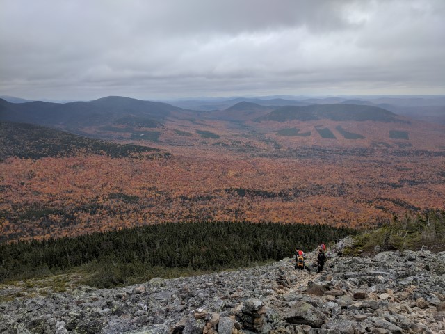
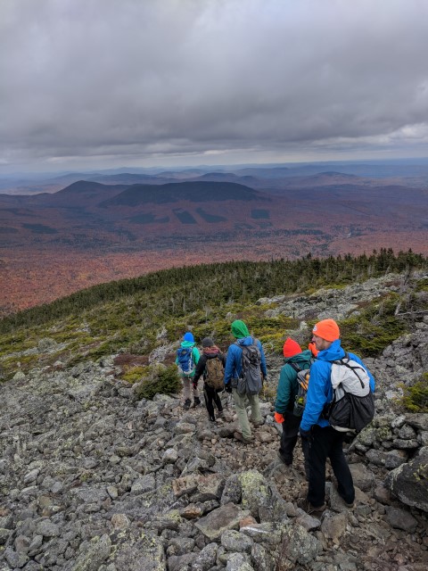
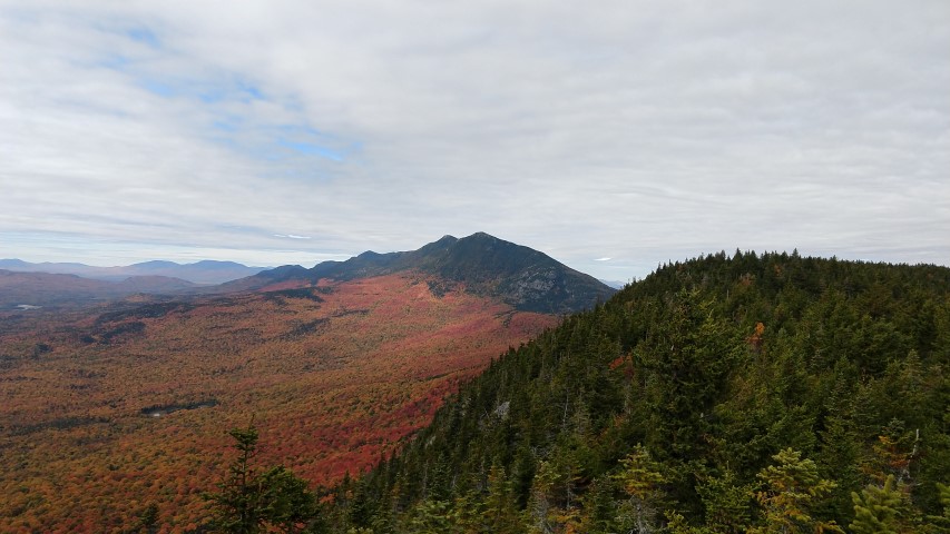
The latest in our fall edition of the Next Century Hikes was up Cranberry Peak, the western-most of the five mountains comprising the Bigelow Range.   While not a difficult hike, the last trip up in March was in difficult conditions and we did not reach the summit.  This time, with much better weather, more daylight and repainted blazes, we were able to reach the summit in about two and a half hours.

We headed up through the foliage, which was at peak or just past at the lower elevations, and then up on the ridge.  Arnold’s Well, a crevasse on the ridge in some boulders which is named for the man and his ill-fated expedition to Quebec, was empty of water and dry, as was the trail for most of the distance.  Once we entered the higher-elevation spruce/fir area, things were a little slippery and there are a few scrambles up some large boulders.  The March expedition had to turn back in these areas due to cold, ice and not much guidance on the route of to the summit.  The blue blazes denoting an official A.T. side trail have since been repainted.
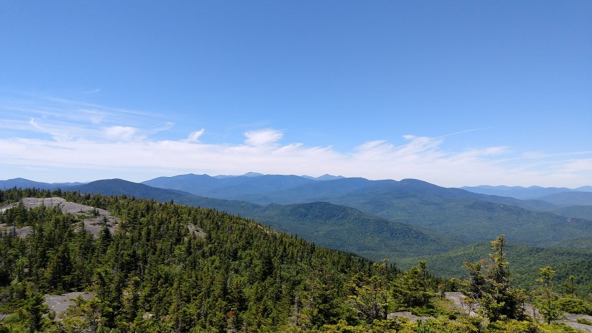
The summit was cool and windy, with temperatures in the high 40’s.  The group sheltered behind some rocks and had a nice lunch in view of Flagstaff Lake.  On the descent, things warmed up a little once we reached the south side of the ridge, and it was a pleasant trip down.

Stay tuned for our next hike on Saturday – Little Bigelow, at the other end of the Bigelow Range.

A.T. Partners Hike – Little Boardman Mountain

Partners group with warden Kevin Adam.
White Cap Range, with spruce
White Cap and Baker Mountains
Crawford Pond
Katahdin over Nahmakanta PRL.
Big Pleasant Pond

Every year, the Maine Appalachian Trail Club hosts a hike for partner organizations who do work along Maine’s A.T.  This year, there were attendees representing MATC, Appalachian Trail Conservancy, the National Park Service.  The purpose of the hike is to get partners out on the A.T. for a day of catching up, seeing the trail, and mostly unwinding from a busy season in the field.  This year the hike was up Little Boardman Mountain in the 100-Mile Wilderness, right in the KI-Jo Mary Forest.  A spectacular area for outdoor recreation, there are several ponds near Little Boardman and the views from the top are pretty good.  It was a great day in the field and a nice chance to reconnect with some good folks.

Old Blue Mountain Trip Report

Sawyer Mountain.
Black Brook Notch.
Bemis and Elephant Mountains.
Views west towards the Mahoosucs.

Saturday was a fine day for our next A.T. Next Century hike, and the destination didn’t disappoint.  Old Blue Mountain is right on the A.T. between Grafton Notch and Maine’s High Peaks, in a stretch of 3600-foot peaks that also includes Elephant Mountain (3,772 feet, trail-less, not the one near Moosehead Lake) and Bemis Mountain, a long ridge with a high point of 3,592 feet.  This is not a section of the A.T. that sees many day hikers, as they tend to favor the areas above.  Nonetheless, the terrain is as rugged and the scenery as spectacular as it is elsewhere.

We started out right at 10am – another factor in favor of this part of the A.T. in Maine is the accessibility.  No logging roads to drive on and exactly 2 hours each way from Portland.  We didn’t see anybody else on the trail except for three sets of thru-hikers.  One group was just being picked up by a shuttle service in Andover, another was just being dropped off, and the last was a guy from Tennessee section hiking to Dalton, Massachusetts.  The weather was warm for this time of year and there were plenty of vehicles headed up to South Arm Campground just up the road.

Since the hike is only 2.8 miles each way, we took it slow, enjoyed the scenery and each other’s company.  There are several steep sections sandwiched around a nearly-flat climb, so we were on the summit by 1pm.  We spent about 45 minutes on top eating lunch and talking.  The weather by this time of day was actually hot, despite the summit breezes.

The trip down is easier, but the terrain is so steep that it’s more of a challenge than it is on the ascent.  More than any other hike, it almost feels like you are on a different trail due to the differing views (it’s an up and back hike).  Even the view of the Black Brook valley down to Andover and Ellis Pond seemed to be different.  We somehow missed seeing the Andover Earth Station on the way up, but it was prominent on the way down!

It was another great hike to round out the summer season.  Check back on our website for additional hikes for the fall!

Puzzle Mountain Trip Report

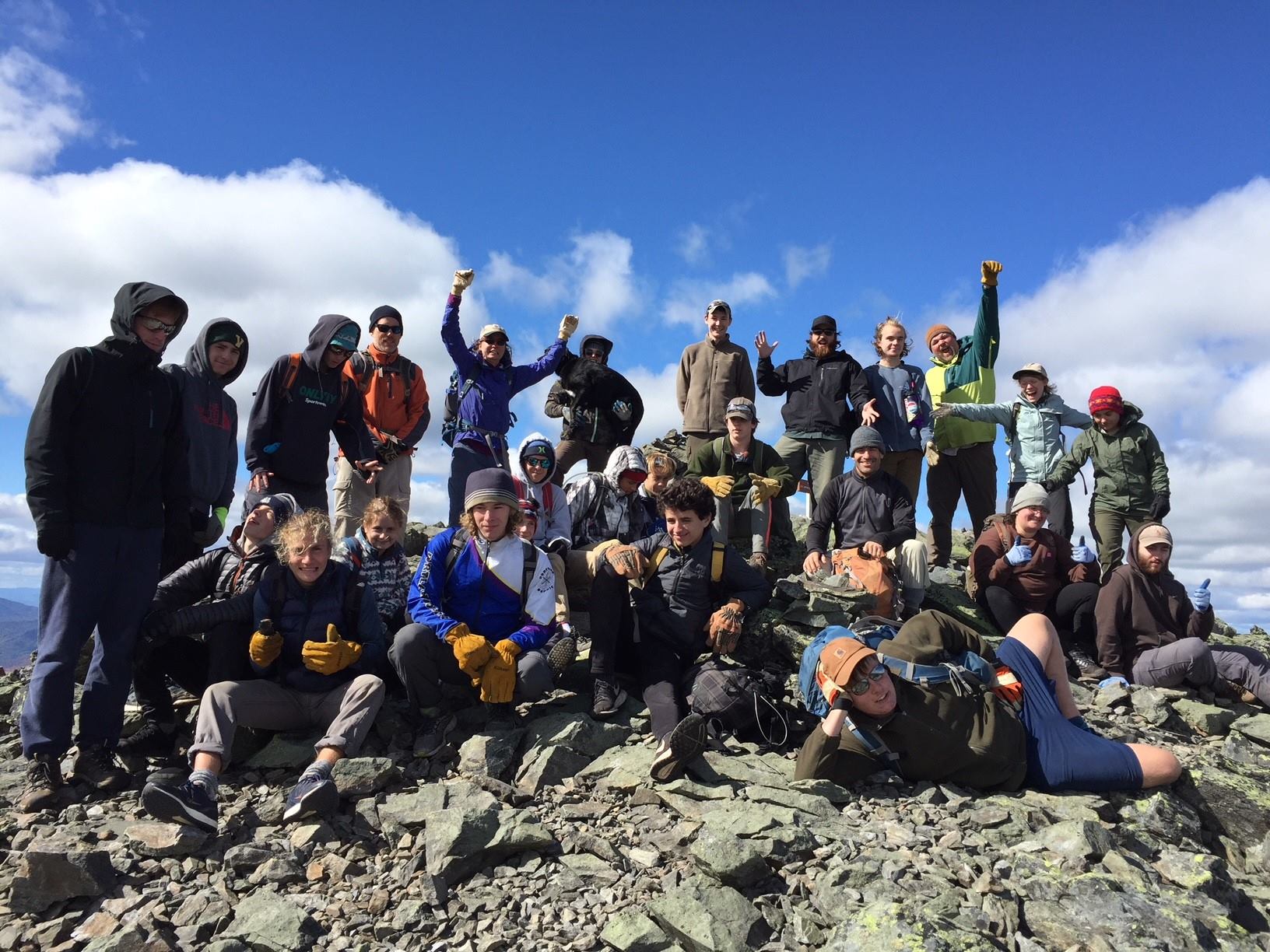
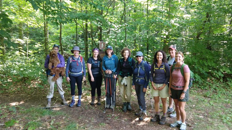
We had a great hike up Puzzle Mountain for Labor Day weekend!  As you can see we had a large group hit the trail and the weather was perfect.  Normally we’d have trip leader Mike Morrone do the write up but he’s getting married in a week.  So instead, we posted lots more picture than we normally do.  Enjoy!  See you out there on the trail!