Prescribing Nature

The video above (courtesy of Nature Rx, which is dedicated to promoting the healing aspects of nature) relies on humor to get the message across – but that doesn’t mean there isn’t some important truth in that message.  More and more research is showing what many people already assumed: that there are quantifiable benefits to nature and these benefits can be measured as accurately and as scientifically as the benefits of medication.

These are not theories based on hunches by people who already hike, bike, ski and spend time outside.  They are researched-based analyses and they go hand in hand with a growing body of literature elucidating the idea that the external world has an influence on the mind of each of us.

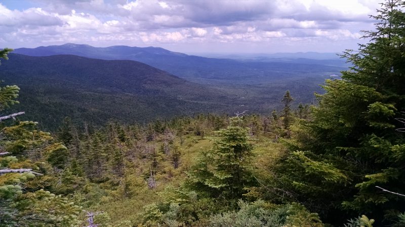
As we head into 2016, The Maine Appalachian Trail Land Trust would like to encourage all of you to be well and get outside for a little bit of this healing power provided by nature.  Obviously the Appalachian Trail can provide an enormous dose of nature, but every little bit helps.  Find a park or open space to visit during the holidays.  Walk around.  Look at some birds and trees.  Breathe.  See what’s up in the sky.  Nobody ever says “I wish I hadn’t gone for that walk in the woods today.”

Appalachian Trail Large Landscape Conservation Conference


The National Park Service and the Appalachian Trail Conservancy recently held an important gathering of conservation organizations from all of the regions which encompass Appalachian Trail lands.  The purpose: to find a path towards coordinated conservation of the landscapes around the footpath that traverses some 2,184 miles of the Appalachian Mountains from Georgia to Maine.  The National Park Service Foundation documents focus on aspects of the A.T. corridor that have not been highlighted in the past:  cultural and historic resources, climate change, healthy lifestyles and more.

This was an important gathering because the National Park Service is calling for a Scaling Up of land conservation in response to the latest data in scientific fields as diverse as ecology, psychology, cognitive studies, engineering, climatology and more.  The Maine Appalachian Trail Land Trust is excited to be working in this landscape as we head into a new era for large landscape conservation on the Appalachian Trail.


Easement Monitoring

Boundary marker pin laid by a surveyor.
Easement area marker.
Yellow blazing along the National Park Service corridor.
Interesting ice formation coming out of a rotting log.
Red blazing along the Bigelow Preserve boundary.
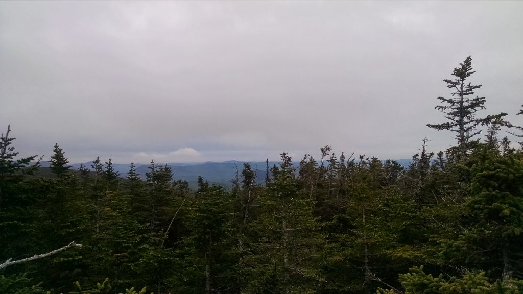
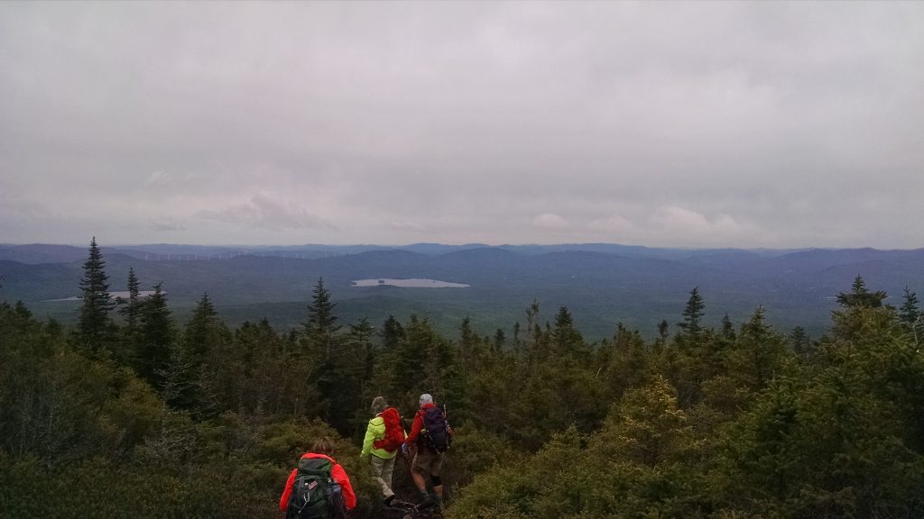
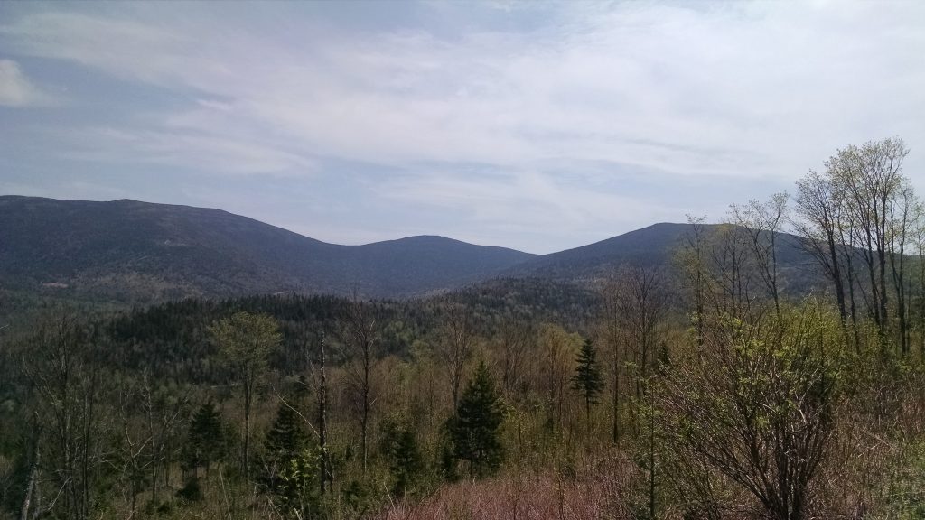
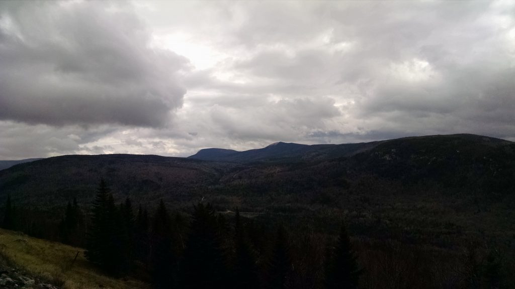
View of the mountains east of Flagstaff Lake.

Fall is the time of year when many land trusts fulfill stewardship obligations.  Summertime hikes have ended, the leaves are off the trees (providing for increased visibility), and snow has yet to lay deeply on the ground.  Why is this important?

As you can see from the slideshow above, many land trust properties in Maine and elsewhere have boundary markers in the woods, and these markers are most visible during the fall.  Part of stewardship – taking care of held properties by ensuring that the conservation values continue to be protected – is making sure that the boundaries are marked and that there are no encroachments or actions prohibited by the easement or management plan (like the dumping of garbage).  The photos you see here were taken on one of our smaller conservation easements along the Appalachian Trail.  We also hold fee and easement properties that are very large – in the thousands of acres – and in that case, a sampling of boundary areas is taken.

The landscapes we protect are also very beautiful and getting out for a monitoring visit is a rewarding experience.  If you are interested in accompanying staff on a monitoring hike, please let us know!

Redington Forest Report: Into the Ecological Reserve

Black Nubble.
Forest on the Crocker Mountain plateau – a mix of hardwoods and softwoods.
Pete McKinley, Maine A.T. Land Trust Vice President, puts his scientific skills to good use.
High-elevation spruce-fir forest.
Former log landing from timber harvesting operations.

The land trust paid the season’s final visit to the Redington Forest property in the High Peaks region in mid-November.  This area has a great variety of ecological zones which includes brook trout streams, upland wetlands, ponds, forests of all types and mountainous terrain.  The last category includes an area which covers most of the Crocker Mountain range and which will be classified as an ecological reserve area once the project is complete.  It is to this area that Pete McKinley, land trust Vice President and Wilderness Society ecologist, and Simon Rucker, land trust Executive Director, headed to a few weeks ago.

The area is difficult to access, and after leaving the truck when it could go no further, the two eventually left the logging roads at approximately 2700 feet and proceeded up through former harvesting areas to a large area of Aspen-Birch Forest on the shoulder of Crocker Mountain.  According to Maine Natural Areas Program Ecologist Andy Cutko, there was probably a forest fire on this plateau roughly 60-70 years ago, resulting in the glade of aspens with an understory of spruce and fir (see photo above).  There was evidence of charcoal in the soil on this visit and the forest is in great health as it regenerates.  It is a prime area for game and is truly a special spot.

At about 3,000 feet in elevation, after reaching the subalpine forest area, the rain showers that had lingered for most of the day turned to sleet and the two decided to turn back.  The weather conditions at this time of year prevent extended field study, and there was a hike of approximately two miles to get back to the truck.

There’s much more to be studied and documented at Redington Forest no matter which season.  Check our website and we’ll have a winter update in the New Year.

Baldpates Hike Trip Report

East Baldpate from West Baldpate.

We have a great day for a hike last week – given the lateness of the season, the fact that we got all the way to West Baldpate without any traction aid is pretty remarkable!  But given the icy conditions – see the monorail on the trail in the photo above – it probably would have taken crampons to get to the next peak.

Stream crossing.
Stream crossing.

The day started out a bit cloudy and chilly, but everybody was in their best hunter orange and bundled up enough to start shedding layers.  The A.T. heading east out of Grafton Notch is not very steep and we progressed rapidly up the slope of the Baldpate massif.  Somehow everybody in the group missed the junction point with the Baldpate shelter spur trail, which is seen as the point at which you start really ascending.

Getting icy...
Getting icy…

The trail began to get icier and we encountered a group heading back down the mountain.  They did not have traction aids and had to turn back.

High point.
High point.

We reached the summit of West Baldpate, and knowing that the trail was going to be fully-iced over, and that we had a limited amount of daylight to work with, we decided to turn back.

Looking northwest.
Looking northwest.

We enjoyed the view before heading down.  The additional time we had allowed us to stop at the Baldpate shelter on the way back to enjoy a leisurely lunch in the sunshine.  It was a great day and a perfect hike leading into Thanksgiving!


Redington Forest Visit

Maine A.T. Land Trust vice president Pete McKinley heads up trail with the property's forester.
Maine A.T. Land Trust Vice President Pete McKinley heads up trail with the property’s forester.

Land trust Vice President Pete McKinley and Executive Director Simon Rucker paid another stewardship visit to the proposed Redington Forest easement area late in October, along with the property owner’s forester.  The purpose of the visit was to go over many of the forestry operations infrastructure on the land and get a tour of the property from the man who knows the land best.  On each visit, land trust staff and board members have been pleasantly surprised by the diversity of the ecological features on this special A.T. landscape, and this visit was no exception.

Wetland area.
Wetland area.

There is a large wetland area with a small pond which neither McKinley or Rucker had seen before.  It is classed as inland waterfowl and wading bird habitat by the State of Maine and is perhaps 25 acres in size.  Along with the mountain features along the A.T., the valuable stream corridors and intact forest, there’s lots to be excited about at Redington.

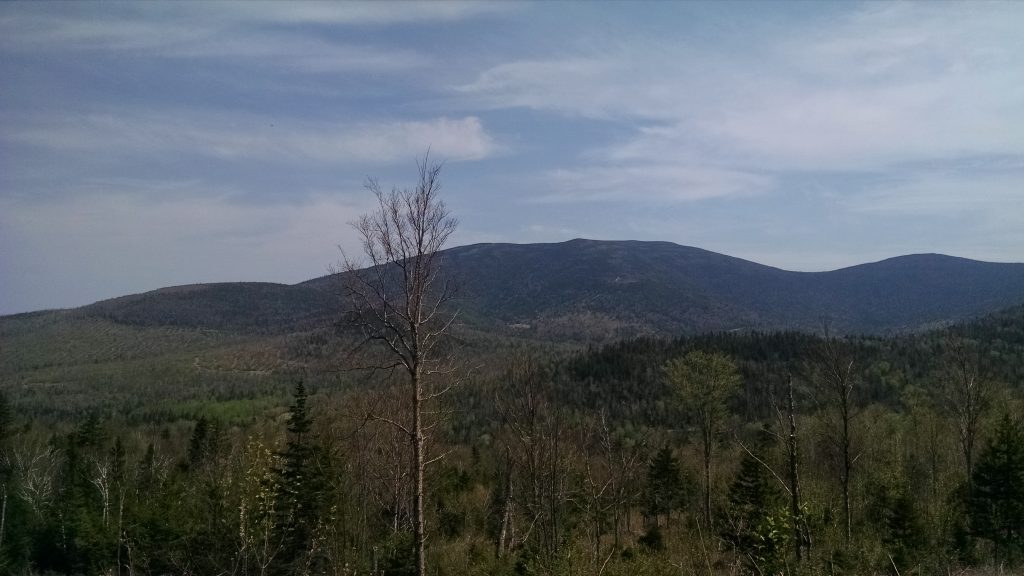
Black Nubble overlooking Redington Forest.

Stay tuned for next month’s report, as there are plans to explore the potential ecological reserve area on the property adjacent to the Appalachian Trail corridor!

Stewardship Report – Mount Abraham

Volunteer Easement Monitor Mike Morrone smiles into the bitter wind.

The land trust’s annual monitoring trip to the Mount Abraham easement marked the initial visit of a new stewardship volunteer – Mike Marrone.  Mike is a New Gloucester native who returned to Maine from Colorado, having experienced the majesty of the American West.  As we all know, there’s no place like Maine, and Mike came home to volunteer for the land trust as a monitor of conservation easements.  He currently works for TD Bank as a supervisor at the Auburn Contact Center and will be climbing Mount Kilimanjaro in the fall of 2016 with his girlfriend, Brittany.

Abraham


Mike and land trust Executive Director Simon Rucker headed up the Fire Warden Trail on a clear, cold Saturday for the annual conservation easement monitoring visit.  Mike is an experienced hiker but had never climbed Mount Abraham, which is a spectacular mountain with a variety of interesting terrain and features.  Despite this, it is often overlooked for day trips and there was only one other group on the mountain that day.  The first surprise they encountered were the TWO NEW BRIDGES over Rapid Stream.

New concrete bridges!

Many a Mount Abraham trip had been made more harrowing by having to cross the two streams just to reach the trailhead.  We are happy to report that, with the installation of these bridges, high-clearance vehicles can once again drive right to the Fire Warden Trail trailhead.

Mike and Simon made it to the summit – about 4.5 miles – in about 2.5 hours.  The summit was wind and very cold and there was some icing above treeline.  Despite the conditions, they were able to inspect portions of the easement area shown above.  Another significant year-over-year change to the property (which is owned by the State of Maine) was that the old fire tower structure had fallen over.

Used to be a fire tower.

The two chose to eat lunch lower down the trail on the return hike and despite the shortening of the days, made it back to the car before sunset.  It was a great day and it was great to have Mike aboard for stewardship duties!

Land Stewardship Intro Hike – Mount Abraham 10/24/15

Pete McKinley takes notes on bird species while on a site visit.

As part of our community outreach program, Maine A.T. Land Trust is pleased to offer a stewardship introduction hike on the land trust’s Mount Abraham easement on Saturday, October 24th.  We will be going over the fundamentals of conservation easements and basic stewardship responsibilities for easement monitoring.  Topics will include photography, GIS and GPS use, monitoring reports and significant features of conservation easements.

Mount Abraham Area Map

This will be a challenging hike up one of Maine’s highest mountains and it will take all day to complete.  The land trust’s conservation easement area is spectacular alpine terrain and most of the work for the introduction will take place there.  This free hike a good opportunity for students, recent graduates or those interested in land trust work to learn more about land trust work in the field.

If you are interested in attending, please email us at info@matlt.org or call 207-808-2073 for more information.

Table Rock Trip Report

Heading up the last leg.
Sunday River Whitecap.
View of the floor of Grafton Notch.
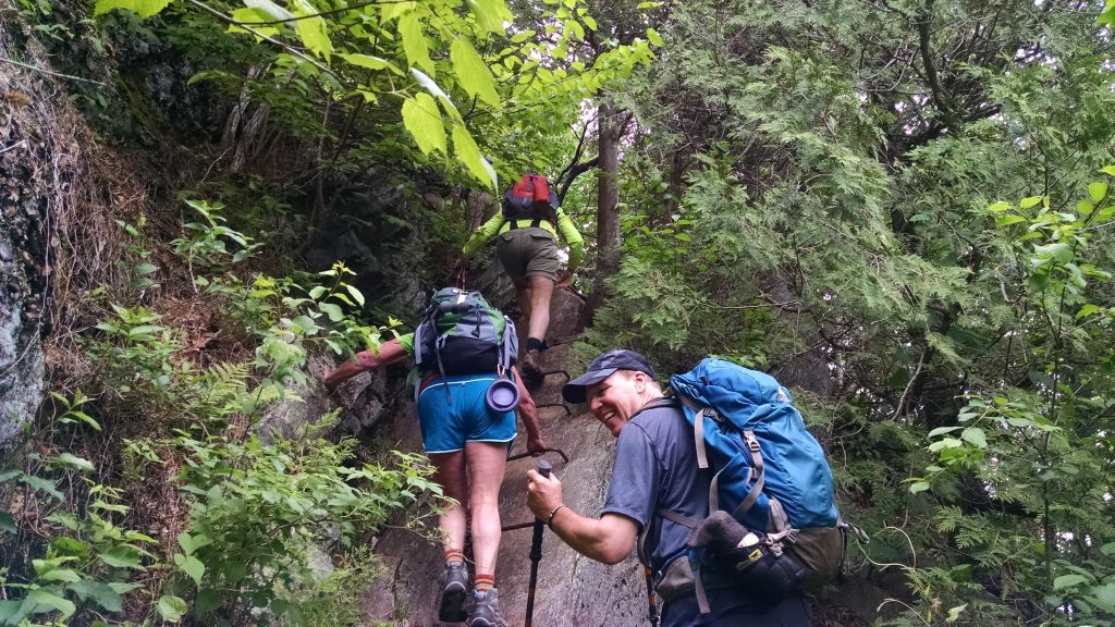
Our group on top of Table Rock.
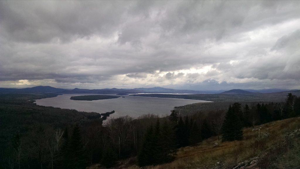
Chilly lunch on Table Rock.

The Maine Appalachian Trail Land Trust’s monthly hike on the A.T. was a short trip up to Table Rock over Columbus Day weekend.  The weather was cooler than most of the days have been this fall (there was rime ice on the summit of Old Speck) but the trip attendees dressed more suitably than trip leader Simon Rucker, who wore just a sweater.

As this hike was a joint effort between Mahoosuc Land Trust and Maine A.T. Land Trust, there were attendees from the Maine Outdoor Adventure Club in addition to those who are familiar with the land trusts’ work.  A few had never before been to Grafton Notch, and they were impressed by the fall foliage and the mountain scenery on the westernmost portion of the Appalachian Trail in Maine.  As the group headed up the trail we encountered other large groups of Mainers and tourists alike who were out for a pleasant hike in the fall weather.  After a chilly lunch on top of Table Rock – one hiker brought a blanket and it was needed – the group headed back down the trail.  There were many cars lining the road with license plates from all over the country when we got back to the parking lot.

Table Rock Hike with Mahoosuc Land Trust

2626001587_6bcd21afca_b
The view from Table Rock.

The Maine Appalachian Trail Land Trust partner hike with Mahoosuc Land Trust will take place on Saturday, October 10th at 10am.  We will meet at the Grafton Notch State Park parking lot, right off the trailhead and the Appalachian Trail.  The parking lot can be seen on this map as a small white line off Route 26 in the center.

This hike is approximately 2.5 miles in total distance – we can elect to take the moderate loop via the A.T., or the more strenuous Table Rock Trail which has boulders and ladders.  Here is more information on Grafton Notch State Park and Table Rock:

Grafton Notch State Park – this Maine State Parks page has information and maps about the area, including a description of the trails.

Maine Trail Finder – Another trails description with an embedded Google Map.

Please let us know if you have any questions.  You must RSVP for this hike by emailing Maine Appalachian Trail Land Trust at info@matlt.org or by calling 207-808-2073.  Alternatively, you can contact Mahoosuc Land Trust at info@mahoosuc.org or call 207-824-3806.  RSVP via Facebook or our other social media outlets is also great!