Category: News

Portland Greendrinks!

A.T. Twister
Lots of people…
Land Trust volunteer Olin Jenner!

Photo Gallery

Why ME Greendrinks Video

The Maine Appalachian Trail Land Trust had an excellent night out with Portland Greendrinks on September 13th at Thompson’s Point.  Greendrinks supports non-profits by helping to sponsor an event built around a common interest in the environment and doing good work by helping organizations that do that work.  As you can see, we had about 500 people at the event and the location is a beautiful spot for an after-work gathering.  We raffled off two Hyperlite backpacks (thanks Hyperlite!) and had volunteers around to help with the activities and talk about our mission and the Appalachian Trail in Maine.

Thanks again to Portland Greendrinks and all our volunteers for helping out!  PS – sorry we ran out of beer everybody!

Kingfield Trail Town Ceremony

The Sign.
View from the celebration towards the Appalachian Trail.
Maine State Senator Tom Saviello with the group.
ATC New England Regional Director Hawk Metheny signs the proclamation with Kingfield Selectman Wade Brown.
Senator Collins’ staffer Alix Rudzinski reads a proclamation from the Senator on Kingfield becoming an A.T. community.

Congratulations to Kingfield, which recently became the fourth Appalachian Trail Community in Maine.  A celebration was held in conjunction with the Kingfield Bicentennial Celebration.  There was some great potluck food, drink and dancing.  The weather held out (for the most part) and proclamations supporting the A.T.’s importance to Maine communities along the trail were read by representatives of:

  • Senator Susan Collins
  • Senator Angus King
  • Governor Paul LePage
  • Congressman Bruce Poliquin

It was a great occasion and congratulations to Kingfield on turning 200!  You couldn’t have done it without all the great people in town.

Mt. Abraham NPS 100th Anniversary Hike Trip Report

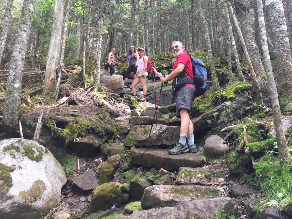
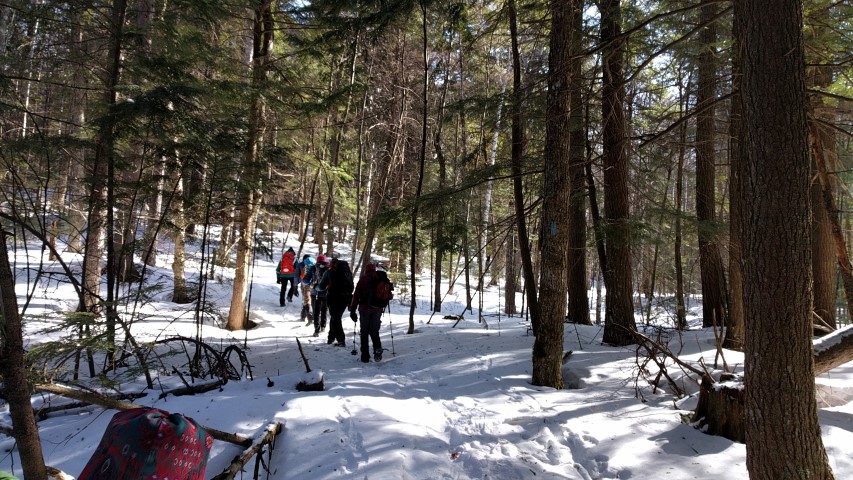
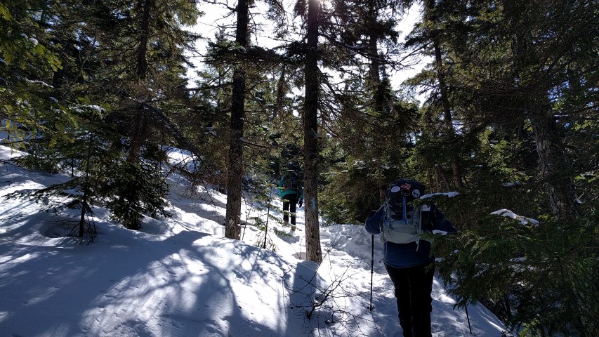
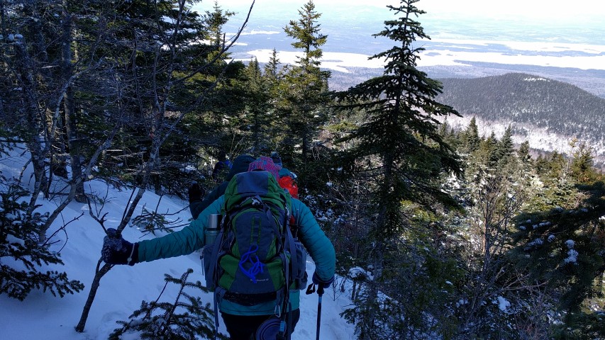
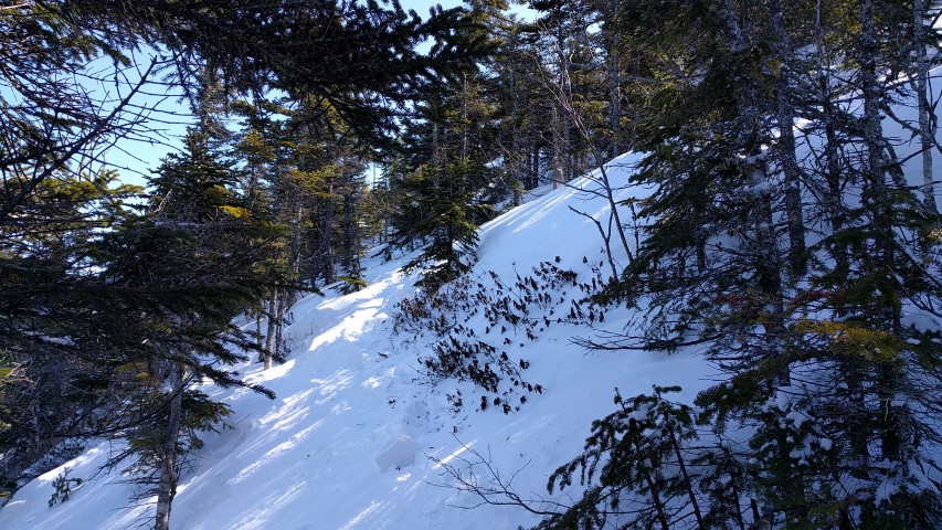
Ascending through the spruces.
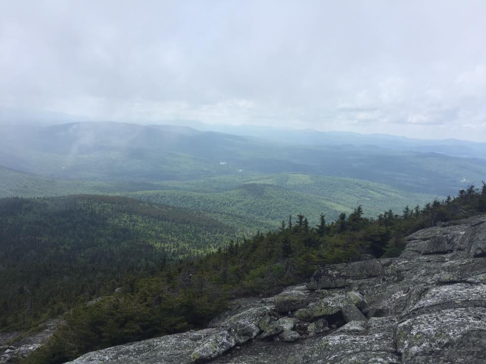
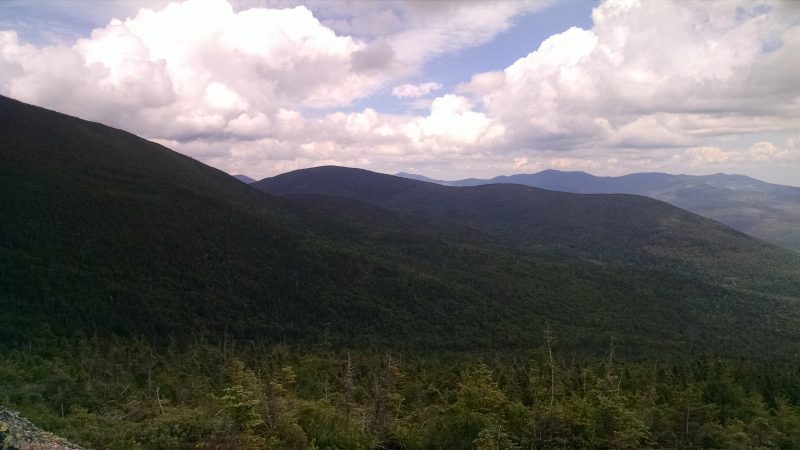
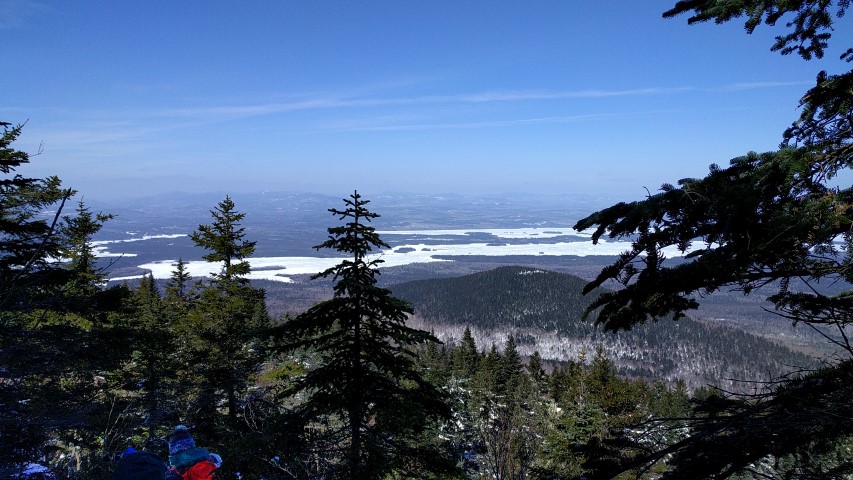
Panorama of the Rapid Stream Valley.
Spaulding Mountain, with the Crockers behind.
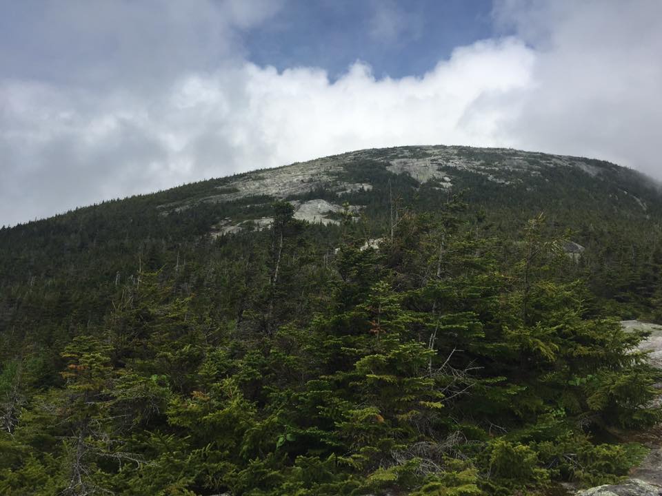
Mt. Abraham burn area.
View to the west, to Saddleback Mountain.

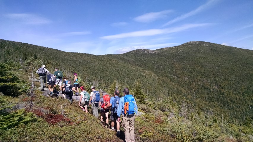
The Maine A.T. Land Trust held our hike in honor of the 100th anniversary of the National Park Service on a beautiful Saturday – just a few days after the designation of the Katahdin Woods and Waters National Monument as the newest National Park Service landscape.  We chose Mt. Abraham because the land trust holds a conservation easement over the summit area – which is part of the State of Maine-owned Mount Abraham Public Reserve Unit – but at the same time it is an integral part of the Appalachian Trail landscape.  It is an excellent example of the partnerships and cooperative working relationships that help make the A.T. what it is.

We crossed over the newly-replaced Twin Bridges and headed up the Fire Warden Trail.  It was a beautiful day with low humidity, and we reached the MATC campsite very quickly, and treeline shortly thereafter.  The going was not as fast since the sun was bright out of the trees, but the breeze was nice.  We made it to the summit just in time for lunch and had plenty of time to enjoy the views.

On the way down, there was lots of discussion about what the Katahdin Woods and Waters National Monument will mean for Maine, since this was the NPS 100th anniversary hike.  Most think it will be a positive thing, and everyone was primarily focused on turning the designation into an opportunity for economic development and recreation for the local area.  It was an interesting end to a great day.

Join us next month for the Berry Pickers’ Trail opening for the Great Maine Outdoor Weekend!

Berry Pickers’ Trail Update

Before trail clearing and after

Before trail clearing and after

Thanks to the efforts to Maine Appalachian Trail Club, some volunteers from Camp Tekawitha and Dave Field, the Berry Pickers’ Trail will be ready to be opened for our Great Maine Outdoor Weekend hike on September 17th.  Dave blazed the trail with the A.T.’s trademark blue paint for official Appalachian Trail side trails and numerous crews worked to clear the brush from the footpath.  Maine A.T. Land Trust Executive Director picked up the slack by pulling off the flagging from the trees:

Flagging taken from Berry Pickers' Trail
Flagging taken from Berry Pickers’ Trail

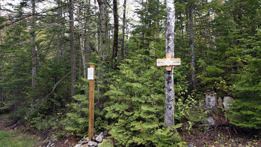
For the GMOW event on September 17th, we will be bringing in a post to put in the ground at the trailhead, and Dave Field will be bringing trail signs to post there and at the junction with the Appalachian Trail between Saddleback Mountain and The Horn.  On the hike, Dave will be happy to answer any questions about his work, the Berry Pickers’ Trail or the A.T. in this section which Dave has been involved with since 1956.  (Note – for those of you hoping to use this hike to ascend The Horn or Saddleback proper, we will not be going further than the junction this time.)  If you want to join us for the opening of this spectacular trail, with some of the best views in the state for nearly the whole length, please RSVP at the link above or contact us at info@matlt.org or 207-808-2073.

Maine A.T. Land Trust Receives Quimby Family Foundation Grant

QFF Logo-rough work

The Maine Appalachian Trail Land Trust is pleased to announce that it has been awarded a grant of $25,000 for the Appalachian Trail Maine: Next Century program from the Quimby Family Foundation.  These funds will help advance this program in all three facets: Next Century Priorities, Next Century Land Protection and Next Century Outreach.  Currently, we are working on our GIS mapping for the land trust’s Land Acquisition Priorities 2016 document and increasing outreach efforts as we approach the National Park Service 100th Anniversary.

The Maine A.T. Land Trust would like to thank the Quimby Family Foundation for providing this much-needed funding for an important program for the future of A.T. conservation in Maine.  With it, we hope to advance the protection of the Appalachian Trail landscape, increase opportunities for recreation in Maine and provide a framework for economic activity based on both activities.

LightHawk Conservation Flight Over Maine’s Mountains

White Cap Mountain.
Bald Mountain Pond.
Bingham Wind turbines.
Saddleback Mountain (Abraham in the foreground).
Fire damage on Mount Abraham.
Redington Forest below Crocker Mountain.
The Rapid Stream Valley.

Maine A.T. Land Trust Executive Director Simon Rucker recently had the opportunity to fly over Maine’s mountains from the 100-Mile Wilderness to the High Peaks region with a partner organization, thanks to LightHawk.  We will let the photos speak for themselves, but thank you to Jonathan Milne, Atlantic Region Program Manager, and pilot Tom LeCompte for taking us up!

The Crockers and Redington

Bigelows.
Herd path.
Two Debs!
Strange tree…
Finding the way.
On the trail from South Crocker to Redington.
The route from CVR to the Crockers and Redington.

By Deb Carroll

A hike along the Maine Appalachian Trail, and the side trails which link the AT to surrounding peaks, is most often measured in terms of mileage, elevation gain/loss, and hours or days spent on the trail.  Hikes, however, can also be measured in the progression of flora, leaves, mosses and berries as the weather and seasons change, the number of north or southbound thru hikers encountered, the sounds and sightings of wildlife, and the moments of joy shared with hiking companions.

Sunday, August 6, 2016, was a day in which all of the above were covered thoroughly, making for a full and happy day on the trail.

Caribou Valley Road “CVR” in Carrabassett Valley, Maine, intersects with the AT between Spaulding and South Crocker mountains.  CVR is a rough road that is impassable in winter and early spring, and gnarly even in the best conditions. It is an unmarked side road on the left side of Route 27, about 1 mile north of Sugarloaf Mountain Resort.

To find the trailhead on CVR, drive several miles until you reach a gate. Park there and put your boots on. Setting out on foot, you’ll cross a metal bridge and walk a half mile or so further along CVR.  The spot where the AT crosses is marked, but it’s easy to miss, so keep your eyes open for a small cairn and white blazes. Taking a left at that intersection leads to Sugarloaf, Spaulding and all points south, while a right turn will take you north, toward the Crockers.

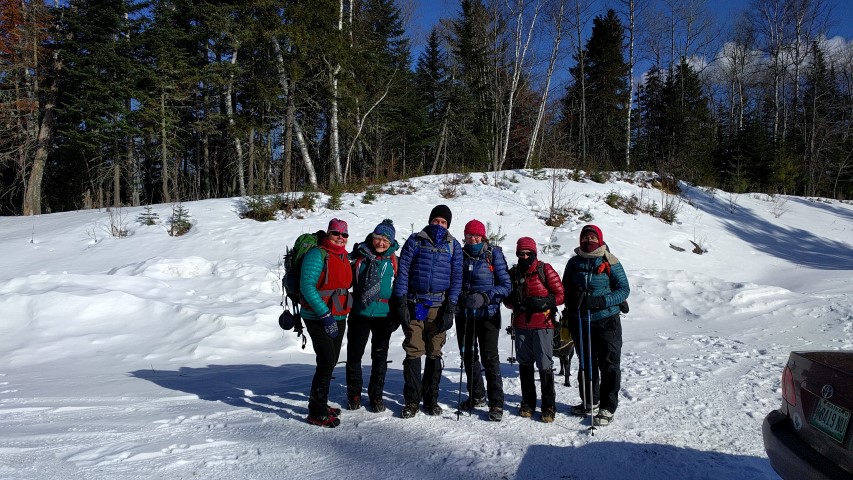
For our MATLT hike up South Crocker, North Crocker and Redington, our group of 5 women left the parking lot at 9:15AM.  The hike to the highpoint of South Crocker wound upward, gradually getting steeper and crossing several rock slides and a wonderfully healthy hanging bog, as we got closer to the summit.  The summit of South Crocker is heavily wooded, with a man-made viewpoint just a few steps to the left of the AT offering views of Spaulding and Abraham. The destruction caused by the recent lightning strike and forest fire on Middle Abraham was still quite evident.

We continued on to the summit of North Crocker, just 1 mile further along the AT. After snapping a few photos and some fun trail shenanigans on this wooded summit, we returned to South Crocker to start our bushwhack to Mount Redington, one of Maine’s 14 4,000 footers.  To quote a hiker who we met (for the 2nd time that day at the summit of South Crocker) as he was returning from the summit of Redington, the trail to Redington “is the best unmarked trail he’s ever been on.”  This was our experience as well.  The trail to Redington veered to the right side of the side trail that led to the viewpoint on South Crocker, less than 20’ from the viewpoint.

Although the Redington side trail was very narrow and unimproved, with blowdowns and some seemingly unnecessary twists and turns, it was marked with pink and orange ribbons, relatively well trodden, and was, for the most part, easy to follow.  After 1.2 miles we emerged in the clearing at the top of Redington.  The canister, which marked the true summit, was off to the side of the clearing on a path marked with blue ribbons.  Inside of the canister we found and signed the log book, adding our names to the list of those who had also found their way there.  Although the markers on each summit say otherwise, as the result of relatively recent updated surveys, the summit of Redington, like the summit of Spaulding, now measures more than 4,000’.

On the way up, one sharp-sighted woman in our party had noticed a side trail a short way from the summit of Redington. After checking maps and compass, we ascertained that this was likely the trail that would take us down Redington and back to CVR.  This trail proved to be somewhat more difficult to follow as it was even narrower than the trail up.  After a mile or 2, the trail emptied onto what appeared to be either an ATV trail or an old logging road.  Whatever they were, they were in bad shape.  Using our maps and compass, as well as GPS technology, we were able to make our way along these roads until we found the Carrabassett River and CVR.  Although we may have walked an extra 2 or 3 miles, we elected to play it safe and follow these rough “roads” all the way rather than chance a possible bushwhack through thick woods with no trail whatsoever.

Looking left as we walked along CVR, a quarter mile or so shy of where we originally joined the AT and entered the woods, we came across a side trail that might lead up ATV trails/logging roads to the trail we had taken from the summit.  Perhaps, next time, we’ll reverse our route and head up that way.

We emerged from the woods after nearly 11 miles, tired but with great joy and pride in what we had accomplished, and made our ways home.

Goose Eye Mountain Hike

Ascending the ridge of the Wright Trail.
Views west into the Presidentials.
Summit of the West Peak of Goose Eye.
Descending the long ridge of the Wright Trail.
North peak of Goose Eye Mountain.

The Maine A.T. Land Trust hosted one of our semi-monthly Maine Hikes on the Appalachian Trail this past Sunday, up Goose Eye Mountain.  This peak in the Mahoosucs – the second highest in the area to Old Speck – is reached via the Wright Trail and the Appalachian Trail, and then a short spur from the A.T. to the West Peak (the highest of three peaks on the mountain).  According to the excellent Mountains of Maine, the Wright Trail was named for a local writer who contributed a number of articles on the region to AMC’s journal Appalachia.

The weather looked like it would hold, but the day started with one attendee getting lost on the way to the trailhead in Ketchum, north of Newry, near Sunday River Resort.  Even for Maine, the Mahoosuc Public Reserve Unit lands have confusing and/or non-existent signage which makes it difficult for hikers to find the trailhead.  The trailhead itself has no sign indicating which trail it is for!

Our group hit the trail just after 10am and proceeded up the Wright Trail.  Before reaching the final crossing of the beautiful Goose Eye Brook, two members of the group were stung by some kind of bee or hornet right on the trail (more on this later).  At the final stream crossing, the old north branch of the Wright Trail can still be seen with faded blue blazes on the trees, but the group continued on the main branch of the trail.  The northern branch of the Wright Trail has been closed for a few years.

The trail continues steeply from the brook until coming out at treeline on the mile-long ridge of Goose Eye Mountain.  The group was heading for the highest peak which is furthest to the west, at approximately 3,860 feet.  Along the way, we encountered three thru-hikers including Legs.  The ridge traverse is spectacular (and there were some blueberries left) but we were looking forward to lunch and it was with some relief that we reached the summit at 2pm.  After lunch, the group headed down and made good time all the way to the Goose Eye Brook crossing at the old junction.  Shortly after, yet another member of the group was stung by a bee/hornet near the same location as the others.  If you are allergic to insect stings, please be aware that there are bees/hornets on the Wright Trail between the big rock and the stream crossings.

The group reached the parking area at 5:30pm, making it a total time out of 7.5 hours.  The weather actually improved along the way and everybody had a great time!

Join us next month for our NPS 100th Anniversary hike!


Berry Pickers’ Trail Report

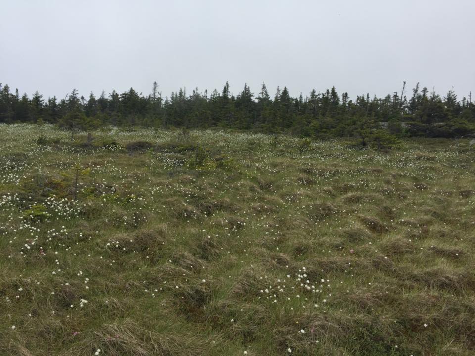
Alpine heath community on the upper part of the trail, with Mount Abraham on the horizon.
Dave Field at The Erratic.
Alpine blueberry (Vaccinium boreale).
View from the trail to the southeast.
Alpine sandwort (Minuartia groenlandica)

Maine A.T. Land Trust Executive Director Simon Rucker had the opportunity to once again traverse the Berry Pickers’ Trail up the east side of Saddleback Mountain recently.  The purpose of the trip was to help Dave Field, longtime Maine Appalachian Trail Club volunteer and the man who relocated most of Maine’s 281 miles of Appalachian Trail to where it is today, flag the route of what will be a blue-blazed official Appalachian Trail side trail.  He is also the author of Along Maine’s Appalachian Trail.  Dave will be in charge of clearing the route, which should be finished in about a month if all goes well.

The Berry Pickers’ Trail will start in the Orbeton Stream conservation easement area and follow a ridge between Saddleback Mountain and The Horn for a distance of approximately 3.2 miles, depending on how far up a disused logging road your vehicle can get, up to the Appalachian Trail.  The route was flagged to ensure that two plant species (Alpine blueberry and Mountain sandwort) and would not be endangered by the placement of the trail.

Dave will be in charge of the crews clearing the Berry Pickers’ Trail and we are currently looking for volunteers for the weekend of July 30th and perhaps beyond.  If you would like to help out, please contact us at 207-808-2073 or info@matlt.org.  We are in need of Chainsaw Safety certified volunteers!

Puzzle Mountain Trip Report

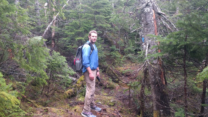
Heading out with some exciting rain gear…
Old-growth forest in the Stewart Family Preserve.
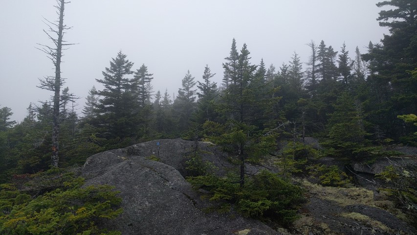
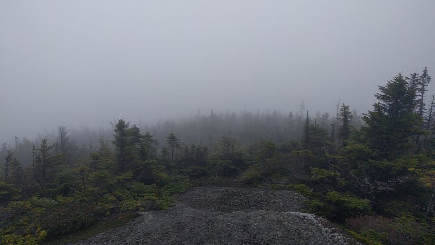
Approaching the summit in heavy fog.
Made it!
Great views in all directions!

The Maine Appalachian Trail Land Trust held our latest A.T. hike this past Saturday up Puzzle Mountain in Grafton Notch.  Puzzle Mountain is accessible via the Grafton Loop Trail which is a blue-blazed official A.T. side trail.  The weather forecast was not great but it did indicate that the heavy rain would hold off until the late afternoon and evening, so we had four hikers in total brave enough to make the trip.

We left the parking area on Route 26 at about 9am in light rain, but very quickly shed rain gear because the forest canopy of hardwoods provided us with a natural umbrella.  Atticus – who had hiked up Puzzle twice during the week!?! – had his own actual umbrella but that too was put away.  We reached the Stewart Family Preserve, which contains numerous areas of old-growth spruce over approximately 486 acres of forestland, fairly quickly.

The weather forecast was calling for heavier rain and possibly thunderstorms by late afternoon, so the group proceeded without stopping too often, reaching the summit by noon.  There wasn’t much to see due to the fog, but as always it’s rewarding to be in a wild place three miles off the nearest paved road.  We headed down the rocky ledges – which were very slippery in heavy fog – and paused for lunch at the junction with the Woodsum Spur a half mile down from the summit.  After that, we concentrated in getting back to the cars before the heavier rains hit.  We stayed dry.

Thanks to everybody who came along – looking for information on our next hike on our events calendar!