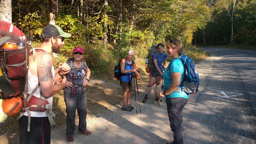
Tag: Trip Report

Piazza Rock and Eddy Pond Trip Report

Made it!
Piazza Rock is so big that one photo can’t contain it.
Stark beauty of Eddy Pond.
Break time.
Great day out on the A.T.!

By Louise Jensen

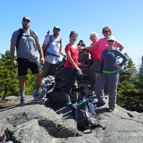
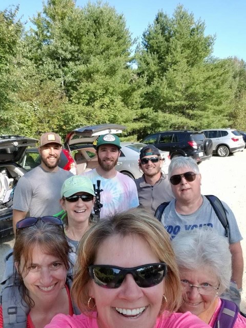
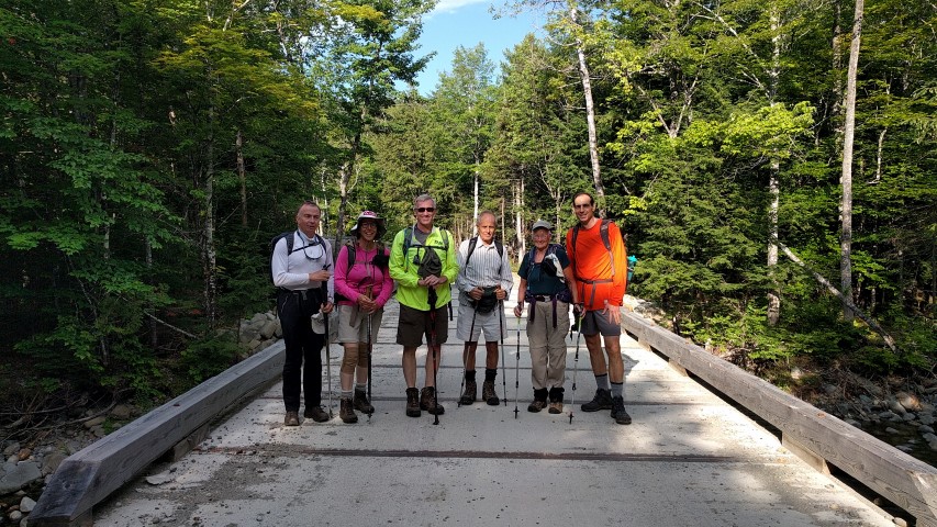
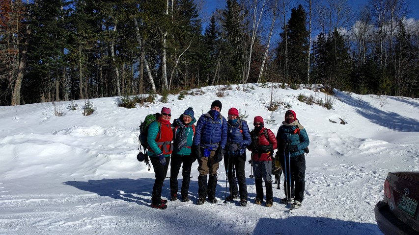
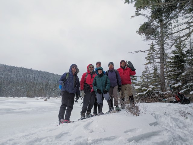
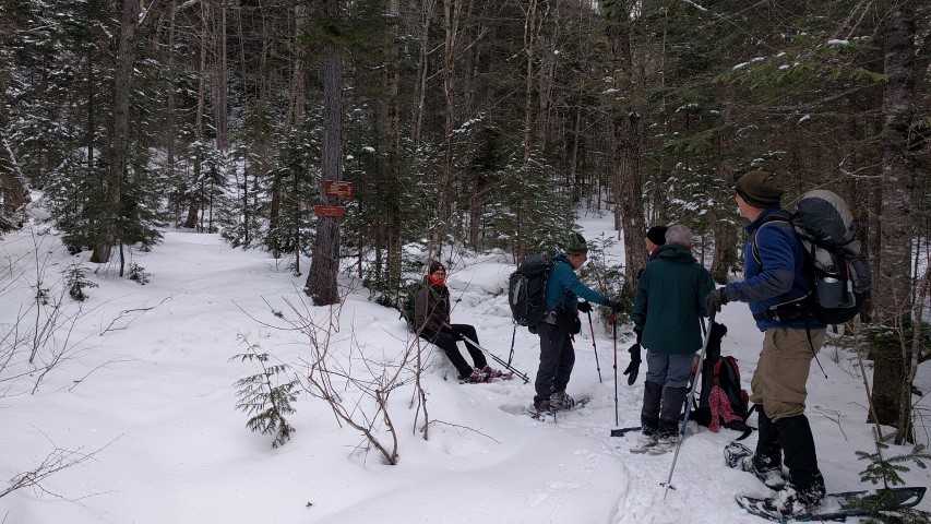
Saturday temps were predicted to be above freezing with partly cloudy skies and some high winds. Not a bad weather day for a winter hike. Our 2 cars with 6 hikers arrived at the A.T. trailhead on Route 4 in Sandy River Plantation around 10am where the parking lot was not plowed. No surprise there. Fortunately, we were able to squeeze the vehicles along the side of the road.

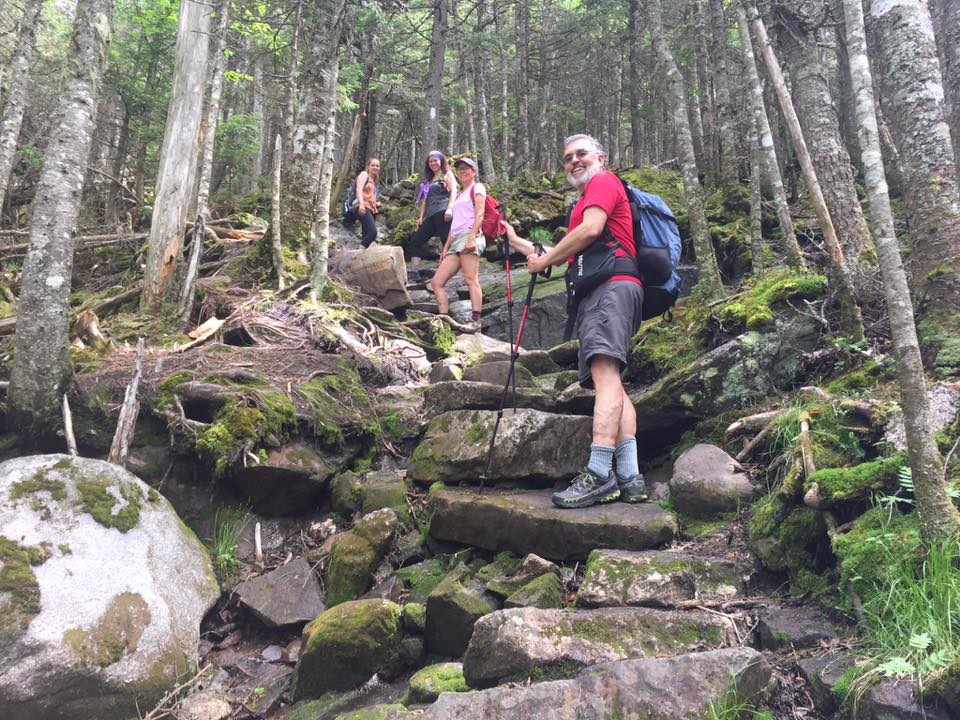
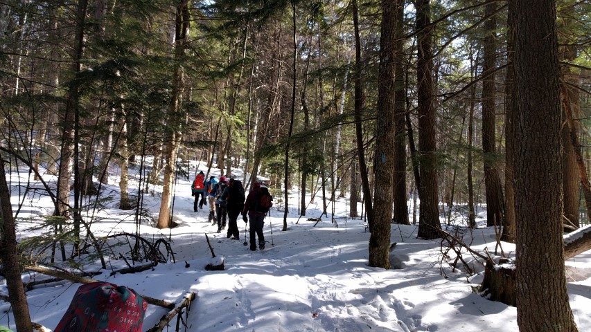
Snowshoes were the preferred mode of transport for the day.  The trail was snow covered but broken out a bit and the surface was hard with some icy spots. Pretty decent conditions for snowshoeing.  Although the wind howled a bit overhead, the trees, covered with that winter wonderland mantle of snow, kept us protected most of the time.

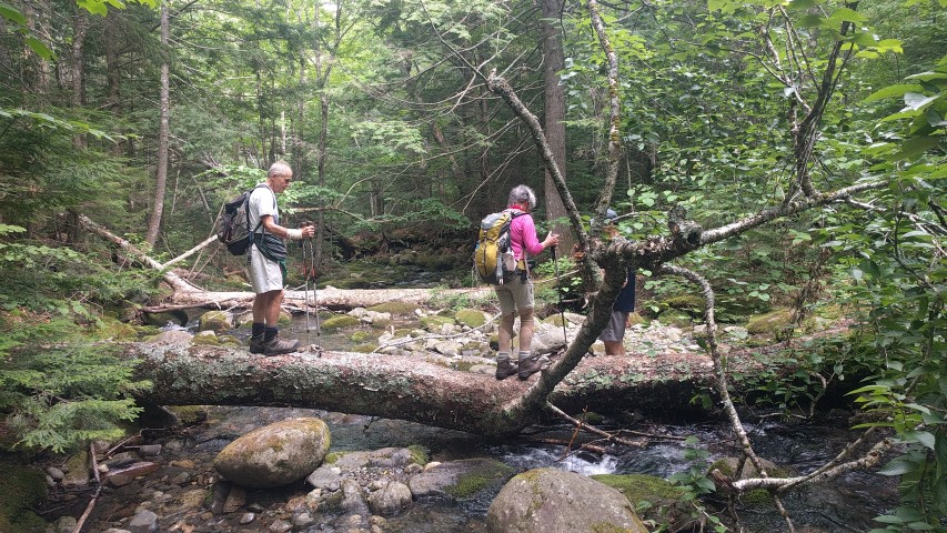
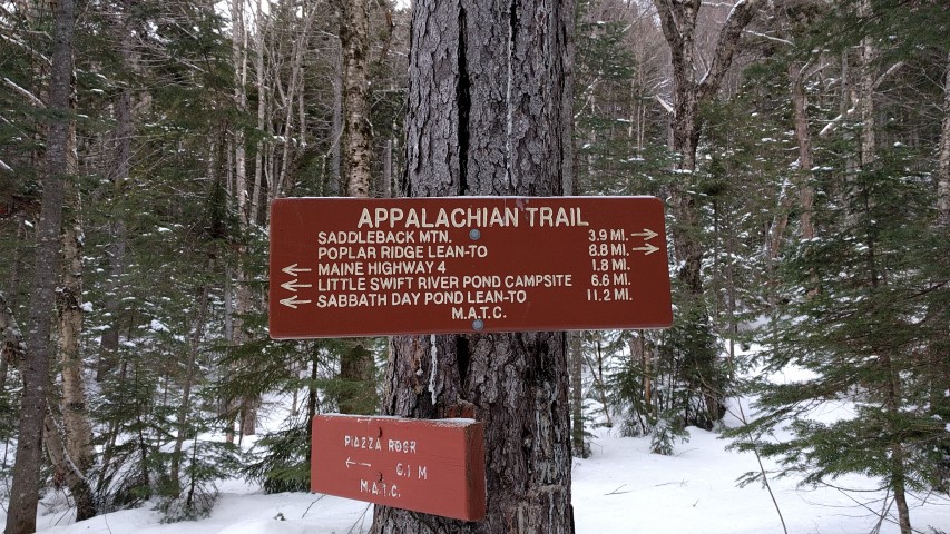
Heading out we descended slightly and crossed the bridge over the still flowing Sandy River. Ascending gradually, we reached a snowmobile/logging road at about 1 mile or so in. Looking both ways – it was “Snowdeo” weekend – we safely crossed over and reentered the woods. Eventually, we reached the Piazza Rock lean-to and the side trail to the Rock.  We decided to trek on to Eddy Pond and explore the Rock on our return hike out. Further along the trail are some boulder caves but investigating those was not on the day’s agenda.

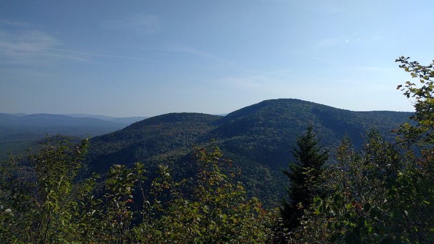
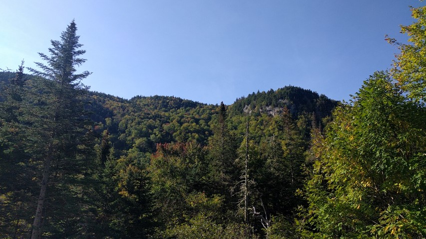
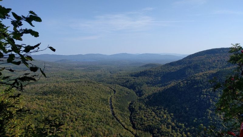
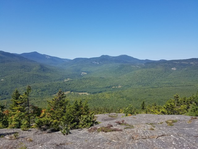
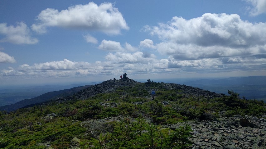
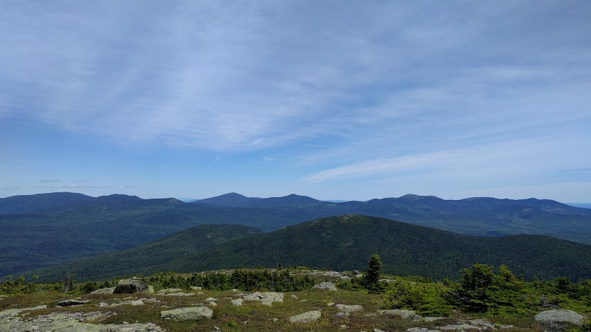
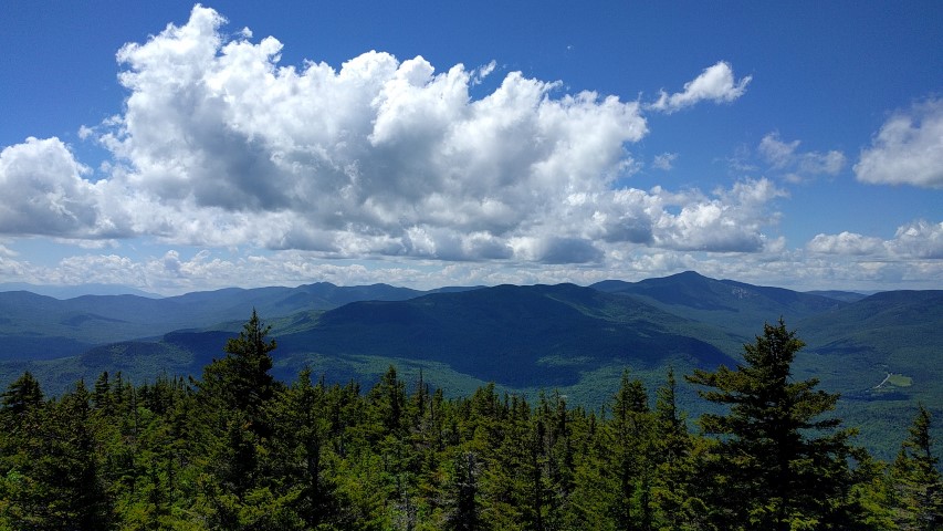
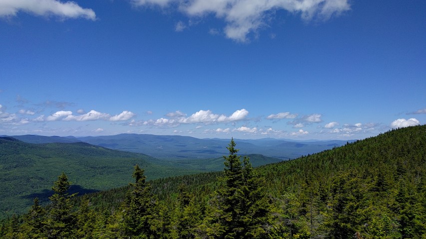
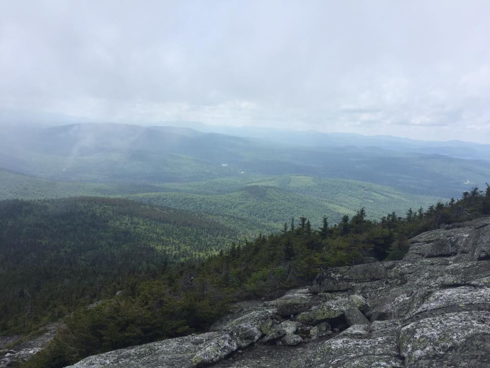
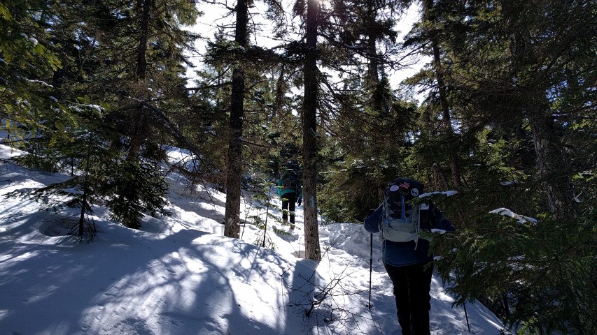
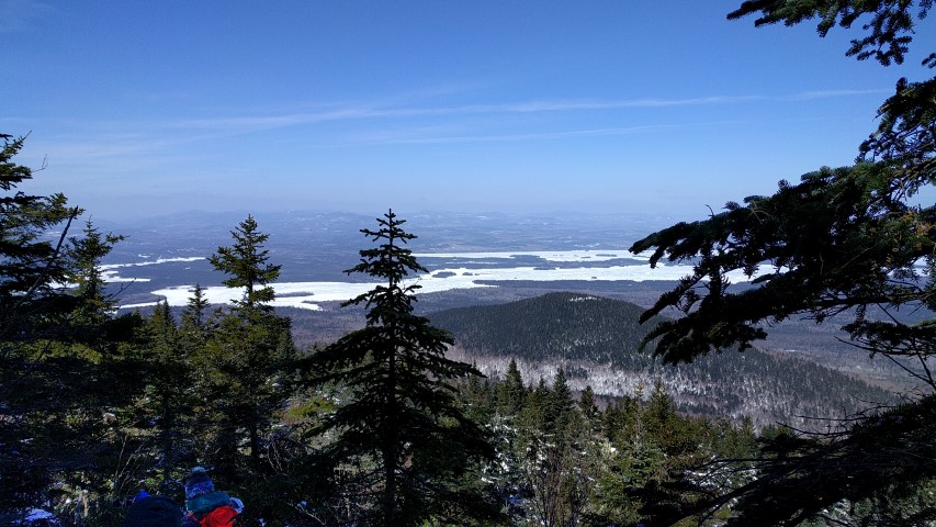
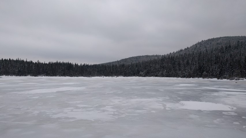
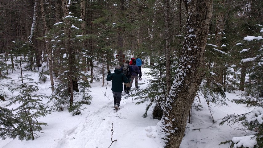
We continued up and down through narrow sections where snow laden branches crowded the trail. We passed Ethel pond on the right and Mud pond on the left, finally reaching Eddy Pond where the wind howled and lunch time was spent huddled under the canopy. Once nourished, we spent some time by the shore of the pond, admiring the cold gray starkness of the sky and the frozen pond surrounded by the evergreen-covered foothills of Saddleback.

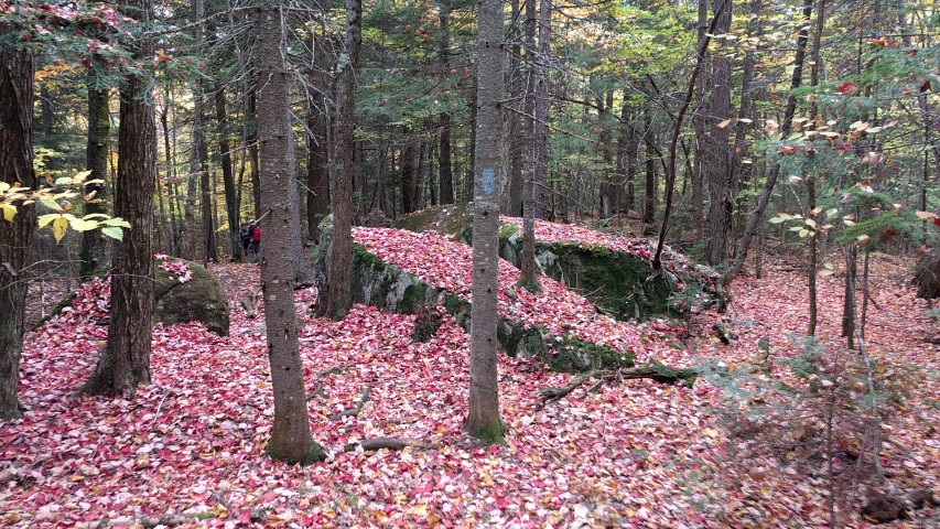
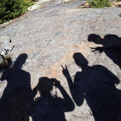
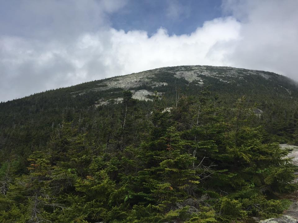
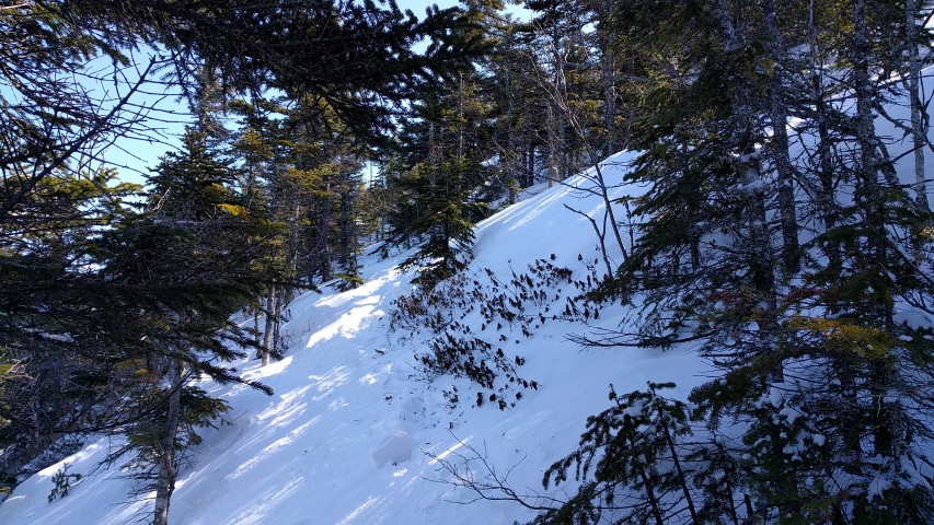
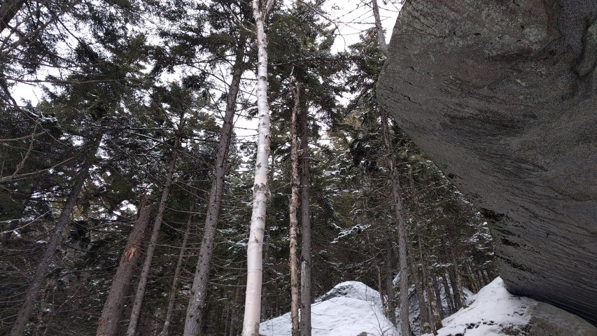
The wind eventually chased us out and we trekked back to explore Piazza Rock. The rock formation is an enormous overhanging flat-topped boulder with trees growing out from the top. It is amazing to behold and we all had notions of what it looked like: a snake, a dinosaur head, even a sock puppet. It is definitely worth the .1 mile climb off the beaten path. Unfortunately, we couldn’t linger too long as it was growing late so we hurried out before it got dark.  All would agree later that this was a really wonderful and fun winter hiking adventure!


Cranberry Peak Trip Report

The Bigelow Range.
Sugarloaf
Flagstaff Lake
Downward.
Peak foliage at lower elevation.

The latest in our fall edition of the Next Century Hikes was up Cranberry Peak, the western-most of the five mountains comprising the Bigelow Range.   While not a difficult hike, the last trip up in March was in difficult conditions and we did not reach the summit.  This time, with much better weather, more daylight and repainted blazes, we were able to reach the summit in about two and a half hours.

We headed up through the foliage, which was at peak or just past at the lower elevations, and then up on the ridge.  Arnold’s Well, a crevasse on the ridge in some boulders which is named for the man and his ill-fated expedition to Quebec, was empty of water and dry, as was the trail for most of the distance.  Once we entered the higher-elevation spruce/fir area, things were a little slippery and there are a few scrambles up some large boulders.  The March expedition had to turn back in these areas due to cold, ice and not much guidance on the route of to the summit.  The blue blazes denoting an official A.T. side trail have since been repainted.

The summit was cool and windy, with temperatures in the high 40’s.  The group sheltered behind some rocks and had a nice lunch in view of Flagstaff Lake.  On the descent, things warmed up a little once we reached the south side of the ridge, and it was a pleasant trip down.

Stay tuned for our next hike on Saturday – Little Bigelow, at the other end of the Bigelow Range.

Old Blue Mountain Trip Report

Sawyer Mountain.
Black Brook Notch.
Bemis and Elephant Mountains.
Views west towards the Mahoosucs.

Saturday was a fine day for our next A.T. Next Century hike, and the destination didn’t disappoint.  Old Blue Mountain is right on the A.T. between Grafton Notch and Maine’s High Peaks, in a stretch of 3600-foot peaks that also includes Elephant Mountain (3,772 feet, trail-less, not the one near Moosehead Lake) and Bemis Mountain, a long ridge with a high point of 3,592 feet.  This is not a section of the A.T. that sees many day hikers, as they tend to favor the areas above.  Nonetheless, the terrain is as rugged and the scenery as spectacular as it is elsewhere.

We started out right at 10am – another factor in favor of this part of the A.T. in Maine is the accessibility.  No logging roads to drive on and exactly 2 hours each way from Portland.  We didn’t see anybody else on the trail except for three sets of thru-hikers.  One group was just being picked up by a shuttle service in Andover, another was just being dropped off, and the last was a guy from Tennessee section hiking to Dalton, Massachusetts.  The weather was warm for this time of year and there were plenty of vehicles headed up to South Arm Campground just up the road.

Since the hike is only 2.8 miles each way, we took it slow, enjoyed the scenery and each other’s company.  There are several steep sections sandwiched around a nearly-flat climb, so we were on the summit by 1pm.  We spent about 45 minutes on top eating lunch and talking.  The weather by this time of day was actually hot, despite the summit breezes.

The trip down is easier, but the terrain is so steep that it’s more of a challenge than it is on the ascent.  More than any other hike, it almost feels like you are on a different trail due to the differing views (it’s an up and back hike).  Even the view of the Black Brook valley down to Andover and Ellis Pond seemed to be different.  We somehow missed seeing the Andover Earth Station on the way up, but it was prominent on the way down!

It was another great hike to round out the summer season.  Check back on our website for additional hikes for the fall!

Puzzle Mountain Trip Report

We had a great hike up Puzzle Mountain for Labor Day weekend!  As you can see we had a large group hit the trail and the weather was perfect.  Normally we’d have trip leader Mike Morrone do the write up but he’s getting married in a week.  So instead, we posted lots more picture than we normally do.  Enjoy!  See you out there on the trail!

A.T. Conference Mount Abraham Hike

Heading up!
Lots of storm damage was evident.
Heading down.
Success!
Treeline.

As part of the recent Maine 2017 A.T. Conference, Maine Appalachian Trail Land Trust Executive Director Simon Rucker led a group hike to one of the Land Trust’s past conservation projects: Mount Abraham.  Conference attendees had been going to seminars to hear about A.T. maintenance issues, threats, successes and, yes, land conservation, and many were eager to get out on the fabled Maine landscape to see what it had to offer.

Our group was composed of members from all over the A.T. landscape: Georgia, Tennessee, Virginia, New Jersey, New York, Maine and Quebec.  We headed up to the summit via the Fire Warden Trail, the most common route.  Though some of the group had travelled in Maine before, none had hiked in this rugged landscape.  And they were pretty impressed.  Abraham has the largest alpine zone in Maine and we had a spectacular day to enjoy the views in all directions.  The weather was brisk above treeline and the southern contingent compared the Maine climate to that of the southern Appalachians.  There were lots of questions about the conservation status of the landscape: from Sugarloaf down the Rapid Stream valley – almost the entire viewshed from the Fire Warden Trail – is unprotected, but spectacular and remote.

Once on the summit, the group explored the alpine zone between the two summit cairns – “there’s nothing like this in ________” was heard fairly often.  On the way down, we left the alpine zone, headed through high-elevation spruce/fir forest, and then were back in mixed spruce/fir and hardwoods until re-emerging at the trailhead.

The special nature of Maine’s Appalachian Trail is a an asset to be treasured and used, and our hike exemplified that.


The Horn via the Berry Picker’s Trail

New sign.
View of The Horn, the day’s destination.
Saddleback Mountain from The Horn.
Redington Forest from The Horn.
Seven of Maine’s 4,000-foot peaks.

Maine Appalachian Trail Land Trust’s latest Next Century Hike was a trip to the Berry Picker’s Trail – partially over land owned by the Land Trust – up to The Horn.  This traditional trail up the ridge to the A.T. was recently re-opened and is now a blue-blazed official A.T. side trail.  The normal route to The Horn (4,023 feet) via the A.T. from Route 4 is 14.6 miles round trip.  Taking the Saddleback ski trail will shave off a few miles at the expense of some ugly terrain.  But if you take the Berry Picker’s Trail, the route is significantly shorter – 7.8 miles round trip – and follows a steady but not too steep open ridge with excellent views all the way up.

However – to access the Berry Picker’s Trail, you need to first drive over a rough logging road for a little over three miles and then park at an ATV gate.  This road has deteriorated significantly since the fall so if you are heading in please use caution and have, at a minimum, a high clearance vehicle with all-wheel drive.  From the ATV gate, you walk up the ATV trail for one mile before you reach the true trailhead of the Berry Picker’s Trail.

We had a small group of just three for this hike, but the weather was spectacular.  Once we reached the A.T., we saw several southbound and northbound thru-hikers, including one from Spain.  We reached our destination – The Horn – at 12:30pm, and had a leisurely hike down.  Even at this pace, we were back at the car at 4pm.  It’s not often you can get into terrain as remote as it is on this side of Saddleback, ascend a 4000-foot peak, and then be home in time for dinner two hours later!

Old Speck Trip Report

Big day on Old Speck
Beautiful sky!
The gang.

By Louise Jensen

Sunday brought together six veteran MATLT hikers to venture up Old Speck in Grafton Notch State Park. Old Speck, at 4,180 feet, is the tallest and northern-most mountain in the Mahoosuc Range that stretches for 30 miles across Maine and New Hampshire. From route 26 in the Park, the AT (Old Speck Trail) runs south to the Mahoosuc trail and then a short spur takes you to the summit of Old Speck where a fire tower provides spectacular 360 views.

Before heading up, we noticed some folks setting up some “trail magic” in the parking lot for AT through hikers.  We did see some thru hikers coming down as we ascended; 2 particular fellows were very happy to be in Maine and getting closer to their final destination. I’m sure the trail magic was a welcome sight.

The weather started out cool and partly cloudy – really perfect conditions for hiking. Although, we “donned” some bug spray, the bug population conveniently stayed away for the most part. No complaints there!  Water crossings were easy, the waterfall was flowing nicely and the footing, though still wet and muddy in places from last week’s downpours, was very manageable.  As this is a steep and rugged hike, we took our time, stopping frequently to admire how lush the forest is this time of year and to take in the intermittent views along the way.  We passed the trails leading to the Eyebrow – not in our plans for the day – and continued steeply up and down using a narrow foot bridge and a ladder, stepping over a large blowdown and under another to finally reach our destination. Along the way, we met up with MOAC hikers and Maine AMC hikers – Sunday was a popular day to be out.

The summit was sunny and breezy.  We ate lunch, enjoyed the limited view and climbed the tower to take in that fantastic 360 view. Well, some of us did.  The tower has a very straight ladder that can be a little scary to climb on – not everyone’s cup of tea!  After one of our members did her customary yoga head stand and we took the traditional group photo, we headed down, moving more quickly than our ascent.  After about an hour, we got caught in a brief summer shower that dampened the trails just enough to make it a bit slippery so extra caution was needed.  The sun soon popped out again, and we all arrived safely at the parking lot – happy and satisfied hikers!

Baldpates Trip Report

Nice stone steps.
East Baldpate.
Some views!
The saddle bog.
Success!

By Louise Jensen

Sunday morning found 5 hikers ready to climb the Baldpates with hopes of seeing the 360 views that the East peak has to offer. Hitting the AT before 9:30, we headed northbound with warm but comfortable temps and clouds still in the sky. Bugs were out but pretty tolerable so far. We took our time, snacking, hydrating and taking photos of the many lady slippers dotting the trail and, of course, plenty pics of ourselves.  Blue sky was peaking out above the trees with the clouds clearing from time to time. Hope for those views.

We passed the side trails to Table Rock which we elected to skip as we had more than 3 miles to go. At 2.3 miles we passed the side trail to the Baldpate lean-to and steadily climbed to West peak. Views were in the clouds at this point and after a quick descent complete with a ladder assist, we finally climbed to the base of the big rock ledges of East Baldpate. The steep ledges here look scary to climb but as long as they are dry – and they were today – the footing is quite good.

Mist and clouds greeted us at the summit – but alas, no 360 views today. Even so, the summit is wide and beautiful. Periodically, the clouds would part in the distance and we got glimpses of the views below.  After some lunch, more pics and a chat with some through hikers, we headed back down.  On the way, the clouds parted somewhat and we finally had some lovely views. We continued on our way for a hot and buggy hike out, but all in all we all agreed that we had a wonderful and fun hike.

Cranberry Peak Trip Report

Heading out!
Nice hemlock woods down low.
Heading up to the Bigelow ridge.
Tricky going…
Flagstaff Lake to the north.
Furthest extent – Cranberry Peak just ahead!

The most recent Next Century Hikes was up Cranberry Peak in the Bigelow Range.  Cranberry (3,213 feet) is at the western end of the Bigelow ridge and is lower and more accessible than the higher, more rugged summits that mark the most prominent part of the range.  Still – on a winter day when the temperature is hovering around 0 degrees and the winds are gusting, it feels like a much more rugged climb.

Our group set off at 10am for what we thought would be a five-hour hike.  The winds were forecast to die down but as the day went on it remained breezy, especially up high on the northern side of the ridge.  But the sun was out and all were in good spirits.  A few of us had trouble with the hoses of our water bladders freezing up because it was so cold.  We were moving at a slower pace than expected, despite only needing traction aids and not snowshoes.

We reached the ridge and headed east to Cranberry Peak.  There were views through the trees to the south – Black Nubble, Sugarloaf – and to the north – Flagstaff Lake, the western Horn.  We stopped for lunch just a few tenths of a mile below the summit of Cranberry Peak.  After lunch we resumed and quickly encountered very difficult conditions.  The trail followed a contour line around the summit cone but it was very steep and icy due to the trail angle (see photos).  Moreover, the snow at higher elevations is still very deep and we were unable to find the blue blazes that mark the trail.  With more robust equipment – crampons and ice axes at a minimum – the group could have continued.  As it was, with the hour getting late and the shadows bringing the temperatures down on the northerly-facing ridge, it was quickly decided that we should turn back.

Though we didn’t make it to the top, we had a great day on the trail!  Check our calendar if you want to come along next time – we’ll be having a few more winter hikes with all the snow on the way!