Tag: Trip Report

Puzzle Mountain Trip Report

Heading out with some exciting rain gear…
Old-growth forest in the Stewart Family Preserve.
Approaching the summit in heavy fog.
Made it!
Great views in all directions!

The Maine Appalachian Trail Land Trust held our latest A.T. hike this past Saturday up Puzzle Mountain in Grafton Notch.  Puzzle Mountain is accessible via the Grafton Loop Trail which is a blue-blazed official A.T. side trail.  The weather forecast was not great but it did indicate that the heavy rain would hold off until the late afternoon and evening, so we had four hikers in total brave enough to make the trip.

We left the parking area on Route 26 at about 9am in light rain, but very quickly shed rain gear because the forest canopy of hardwoods provided us with a natural umbrella.  Atticus – who had hiked up Puzzle twice during the week!?! – had his own actual umbrella but that too was put away.  We reached the Stewart Family Preserve, which contains numerous areas of old-growth spruce over approximately 486 acres of forestland, fairly quickly.

The weather forecast was calling for heavier rain and possibly thunderstorms by late afternoon, so the group proceeded without stopping too often, reaching the summit by noon.  There wasn’t much to see due to the fog, but as always it’s rewarding to be in a wild place three miles off the nearest paved road.  We headed down the rocky ledges – which were very slippery in heavy fog – and paused for lunch at the junction with the Woodsum Spur a half mile down from the summit.  After that, we concentrated in getting back to the cars before the heavier rains hit.  We stayed dry.

Thanks to everybody who came along – looking for information on our next hike on our events calendar!

Sugarloaf/Spaulding/Abraham Tripleheader Hike

Spaulding and Mount Abraham (with smoke on the middle peak).
Redington Pond Range over the shoulder of South Crocker.
Ravine on flank of Sugarloaf, with Spaulding poking above.
The approach to Mount Abraham.
Summit of Abraham.
Helicopter dumping water on Abraham forest fire.

By Deb Carroll

We chose the weekend after the summer solstice for the occasion of the Maine Appalachian Trail Land Trust’s Spaulding Option Hike, which at a minimum meant hiking up Spaulding Mountain but there was the option for an overnight with two more peaks.  The plan was to spot cars at the Mount Abraham Fire Warden Trail trailhead, and then proceed to the Caribou Valley Road A.T. crossing in another car.

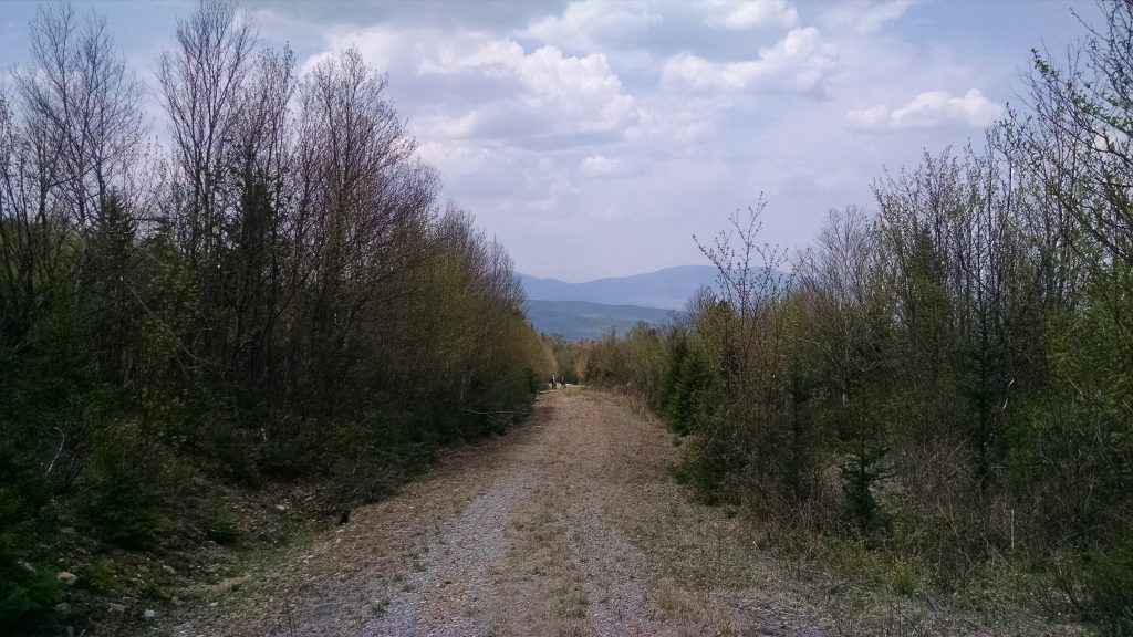
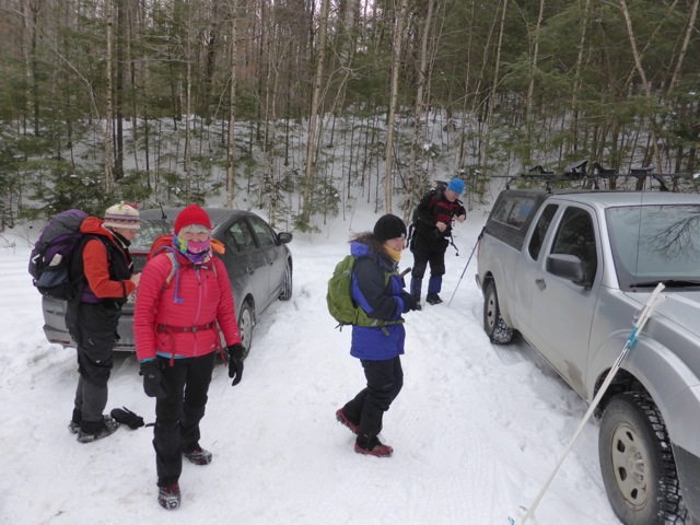
After meeting in Kingfield, we spotted one car in the small parking lot about a half mile from the Mt. Abraham trail head. We proceeded down West Kingfield Road and found Rapid Stream Road, the road to the trailhead, to be marked with somewhat rough and inaccurate signs, but we made it there so they got the job done. After the hike out, we discovered that the 2 new bridges between the parking lot and the trailhead were in excellent shape and the roads dry and smooth enough for most any vehicle. Next time, we decided, we would drive all the way to the trailhead.

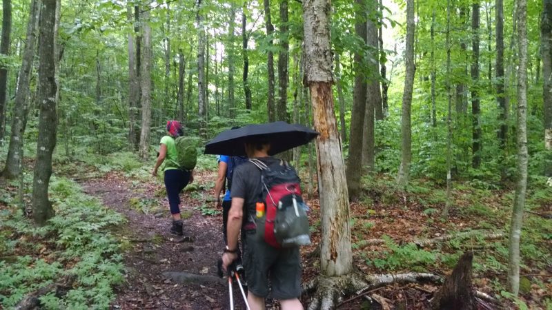
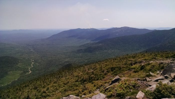
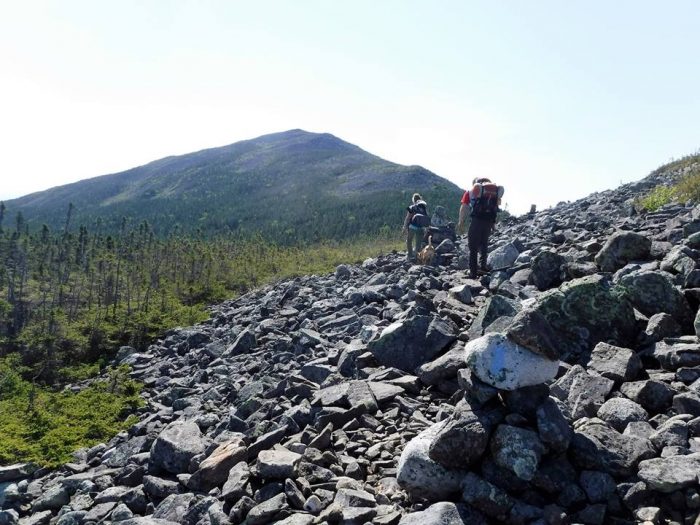
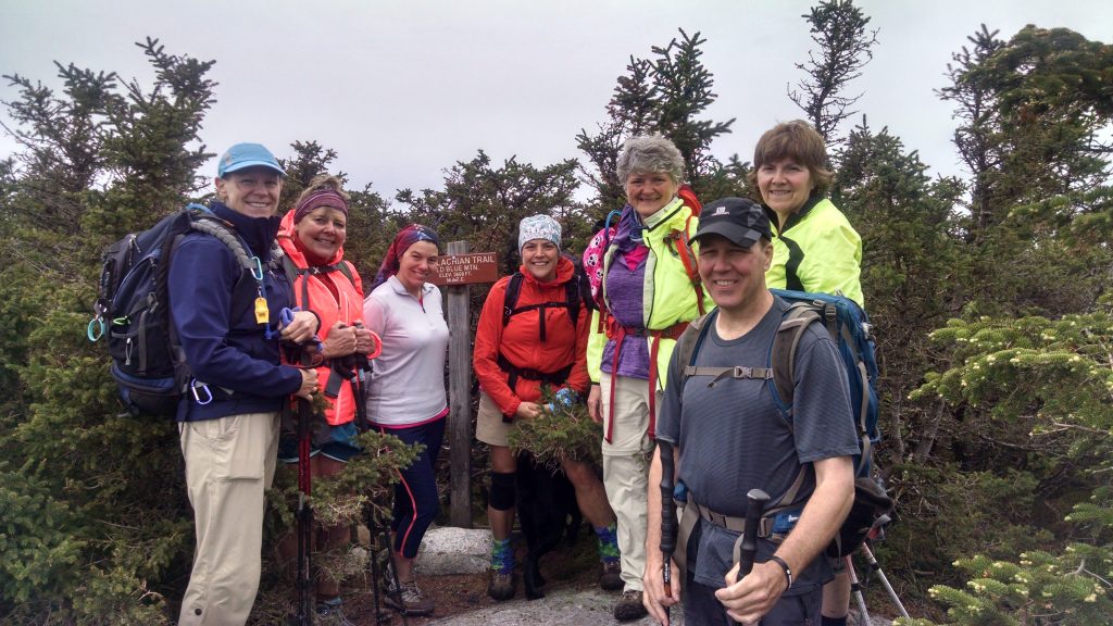
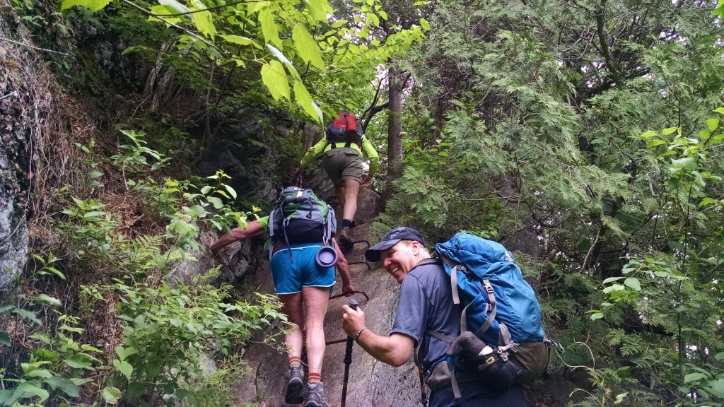
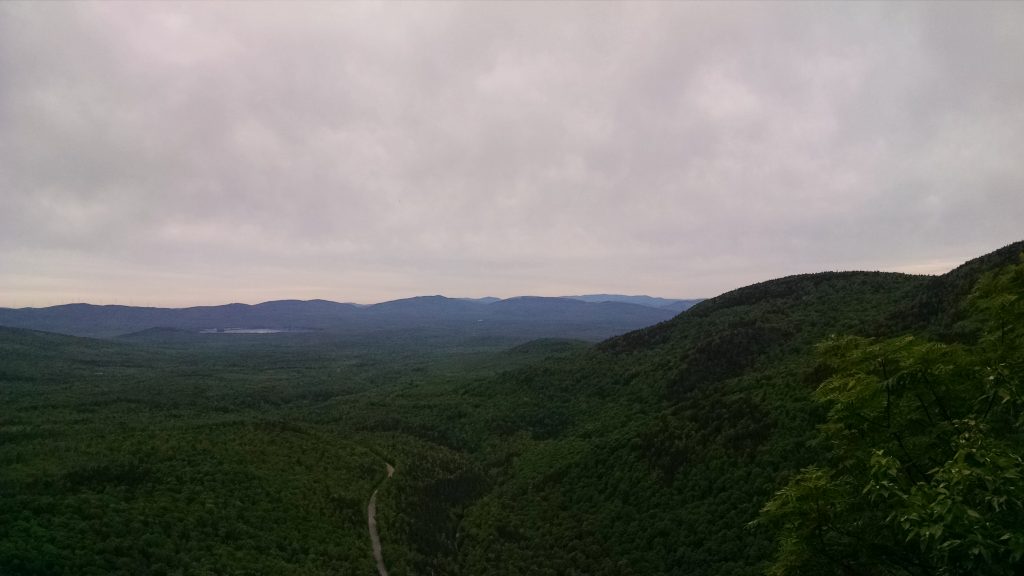
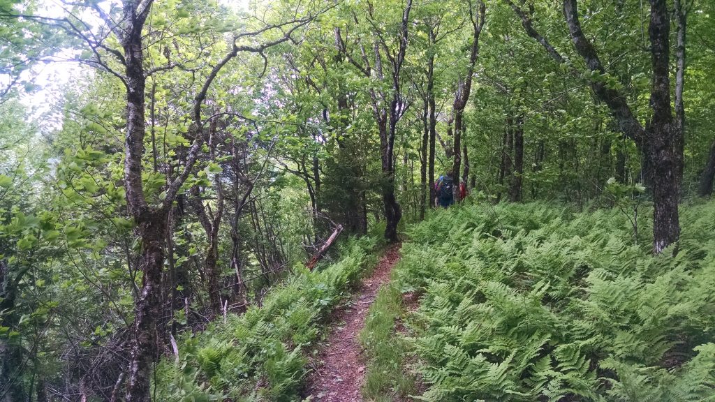
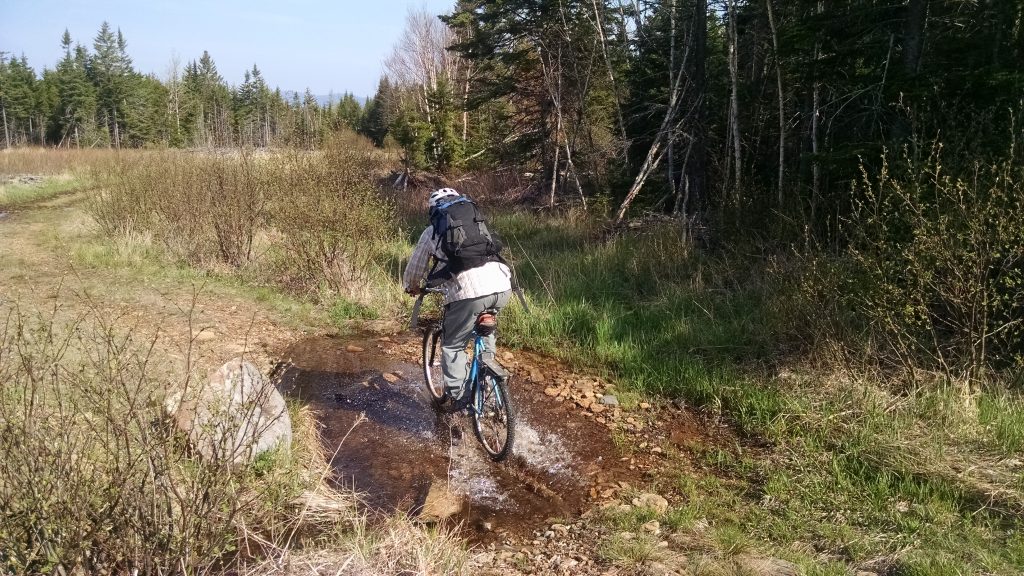
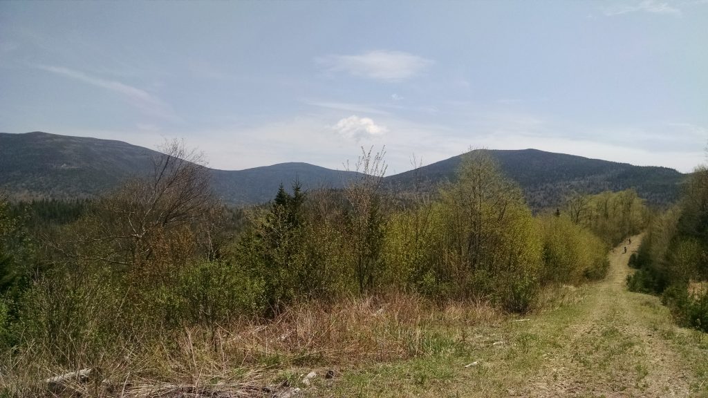
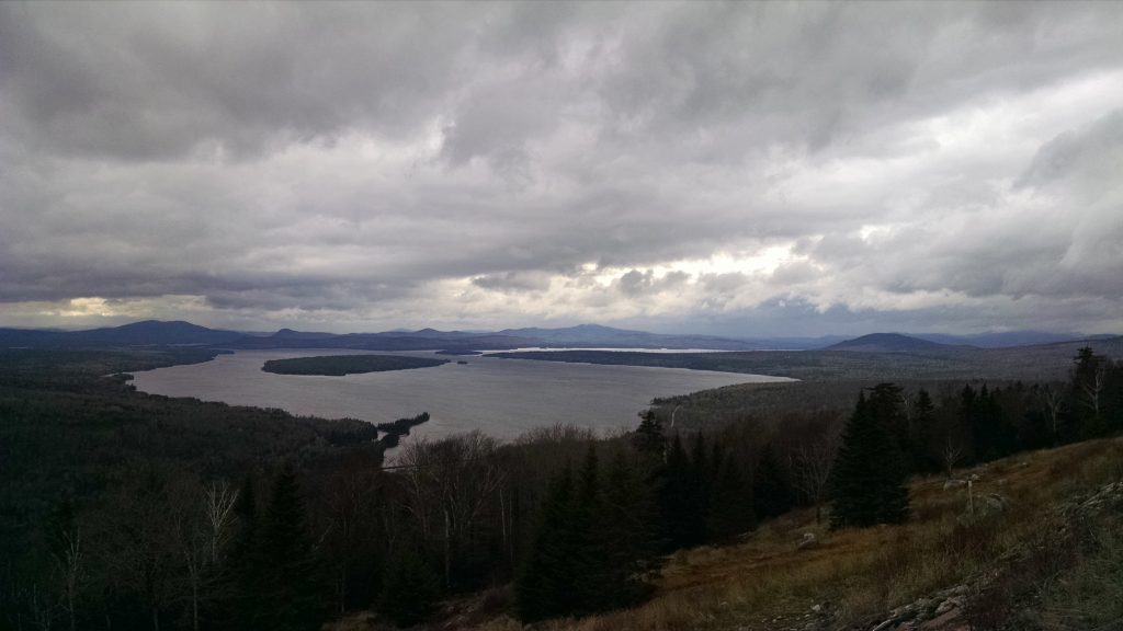
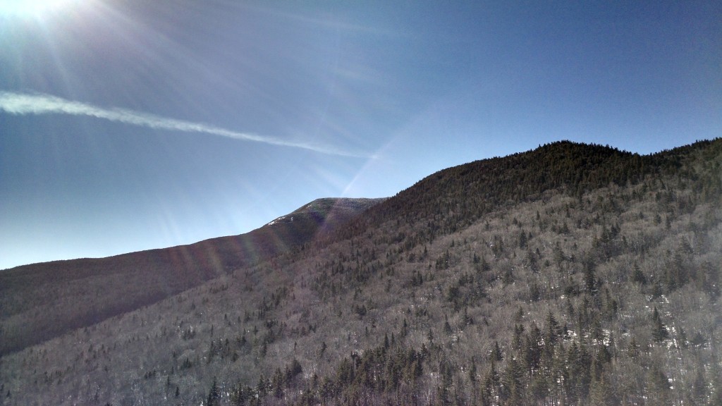
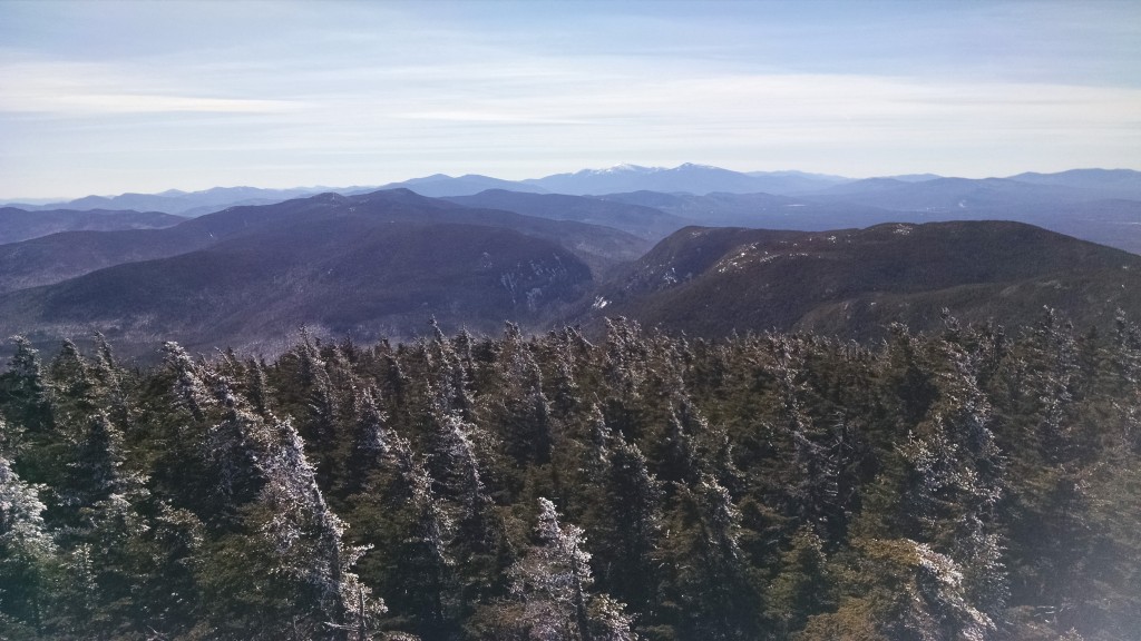
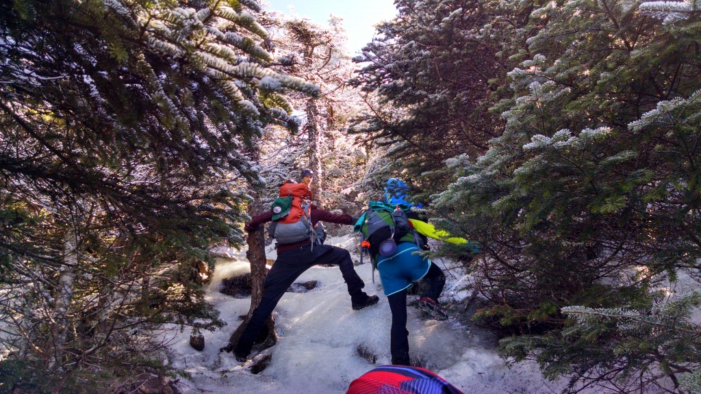
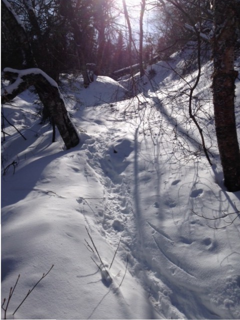
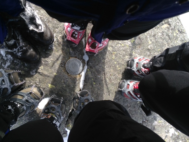
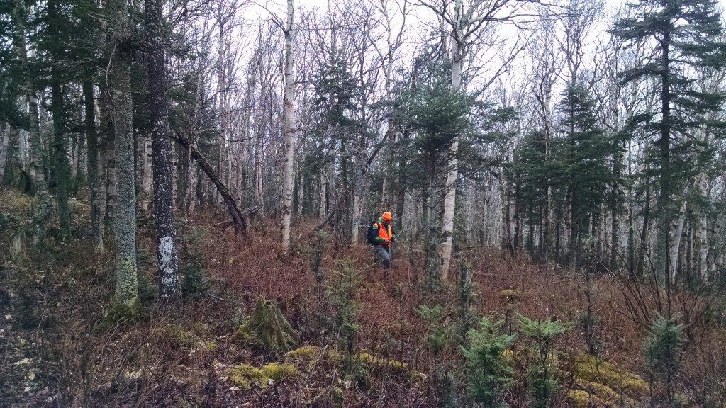
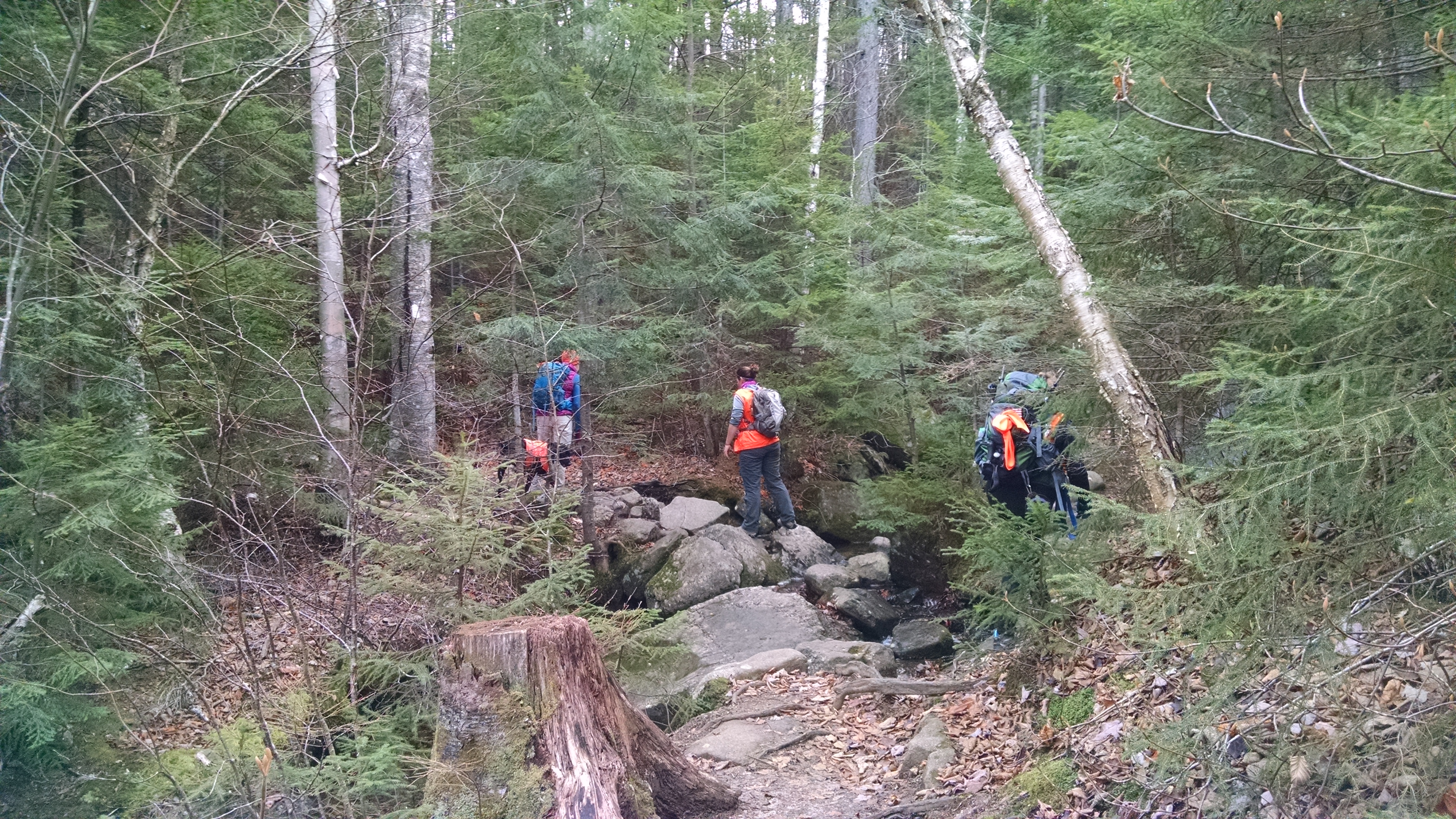
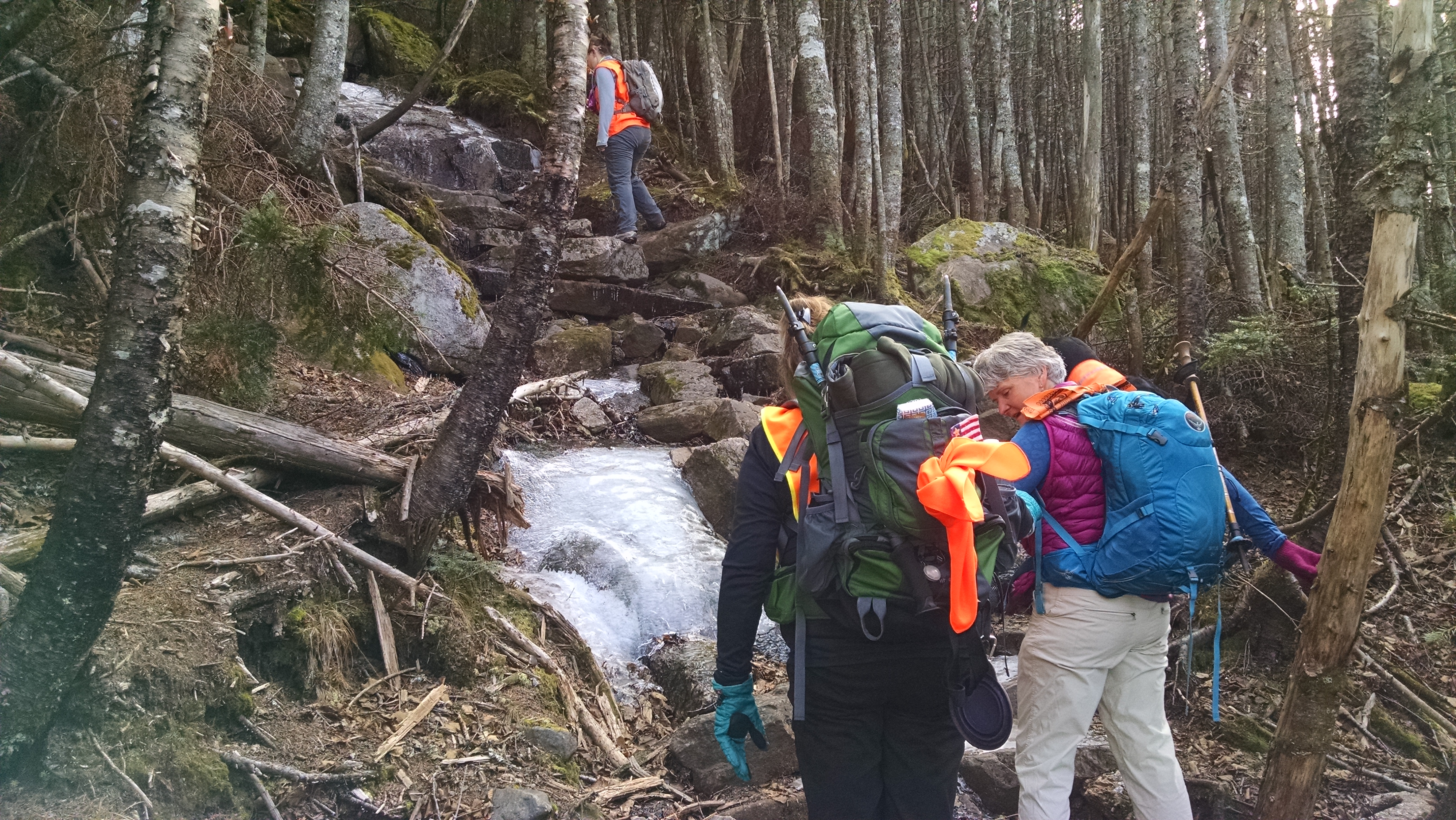
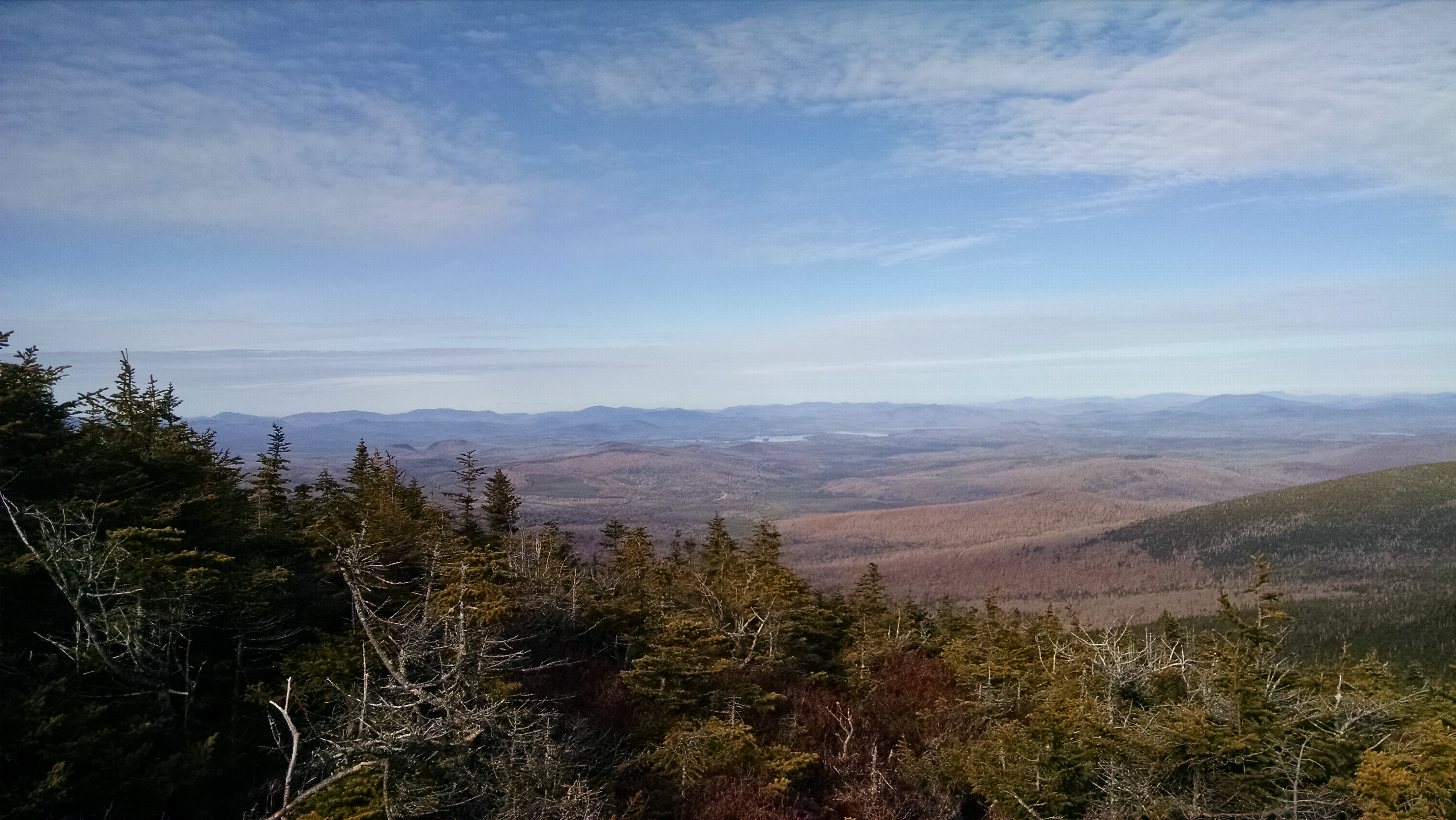
Caribou Valley Road is just under a mile north of the Sugarloaf Access Road and is not well marked. Look for the steep grade sign and a left turn onto an unmarked dirt road which turns back sharply. After about 5 miles of rough road we came to a locked gate and a small parking lot where we began our hike.  Though the road does continue, it is not passable by car and so we walked the half mile or so to the place where the Appalachian Trail crosses CVR. It’s tough to spot, so if you’re taking this route keep your eyes open for a small cairn on the right and white AT blazes just off the road. We entered the woods on the left side of CVR.  Once on the trail we travelled on a moderate grade for a mile or so when the trail began to get steep and rocky. After 2.3 miles, we arrived at the spot where a side trail would take us .6 miles to the summit of Sugarloaf, our first 4K of the weekend.  According to the Maine Mountain Guide book, Sugarloaf, at 4,237’, is the 3nd highest mountain in Maine and boasts the best views in Maine, second only to Katahdin.

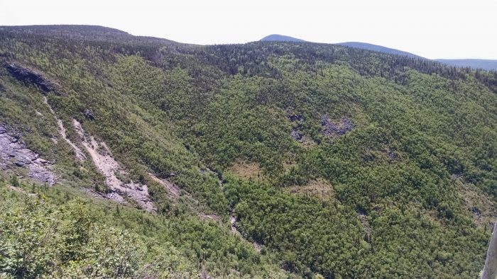
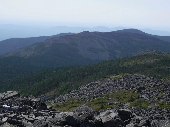
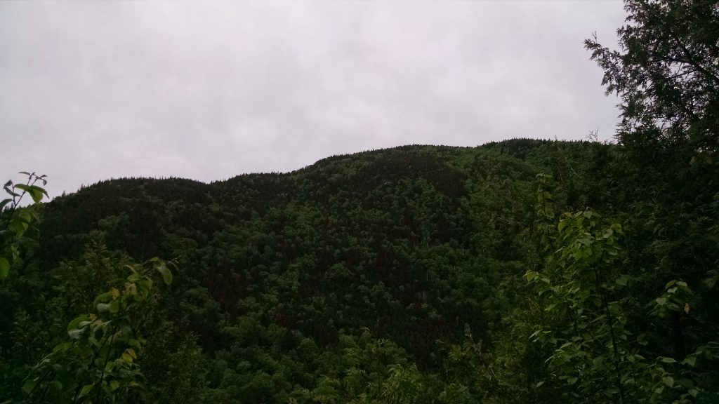
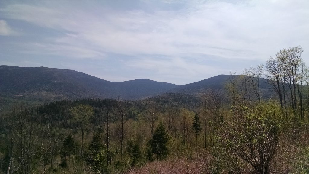
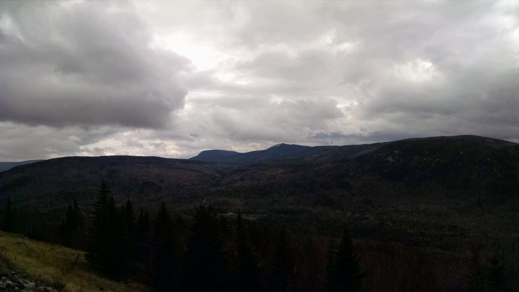
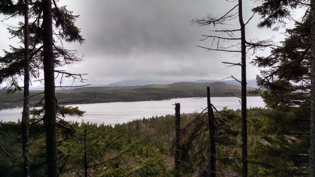
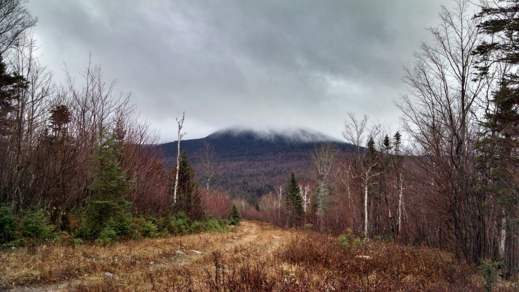
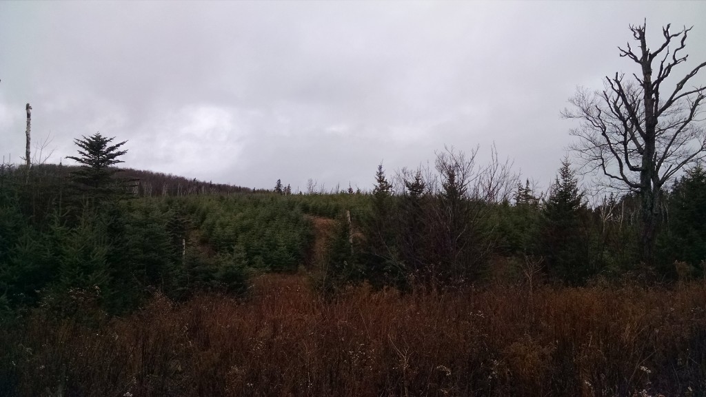
Although with beautiful blue skies the views were, in fact, quite grand, we found the most significant characteristic of the landscape to be the 27+ acre forest fire on the summit of Middle Abraham, the location of a MATLT easement, 4 peaks to the south of where we stood. In a phone call to the Maine Warden Service (yes, we had phone service up there), Simon Rucker, Maine Appalachian Trail Land Trust’s Executive Director, learned that the blaze had been sparked by lightening several days prior and had flared up again that morning. As we watched, helicopters circled dropping fire suppressant materials.  The helicopters would circle overhead for the rest of our trip.

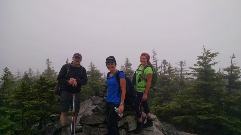
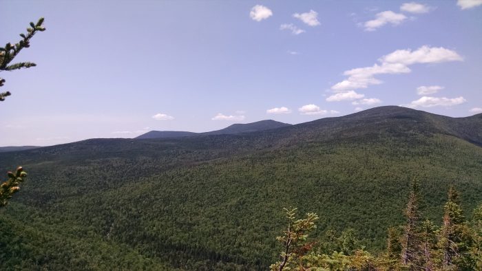
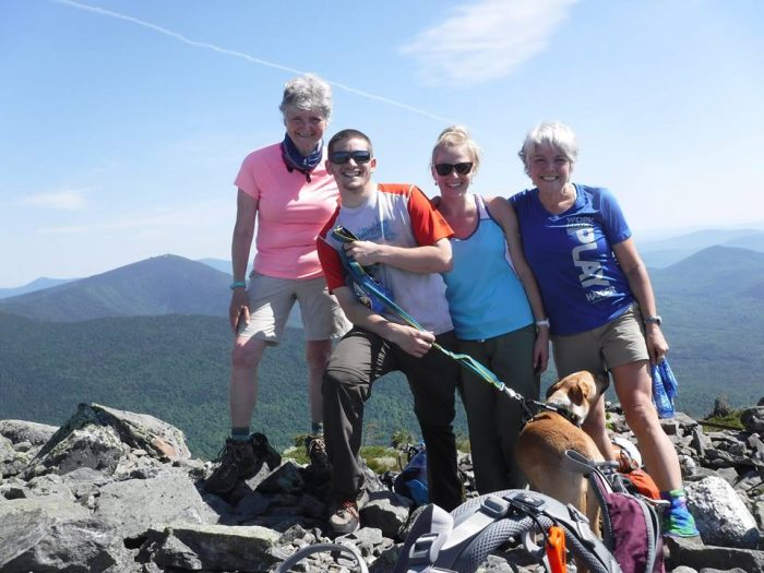
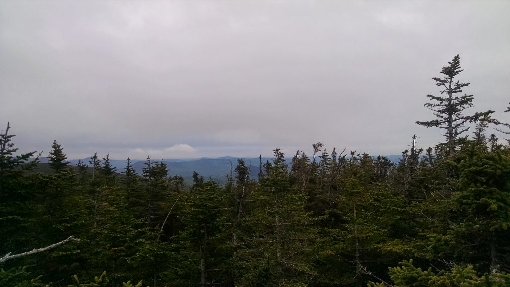
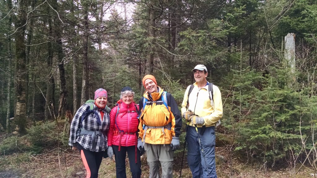
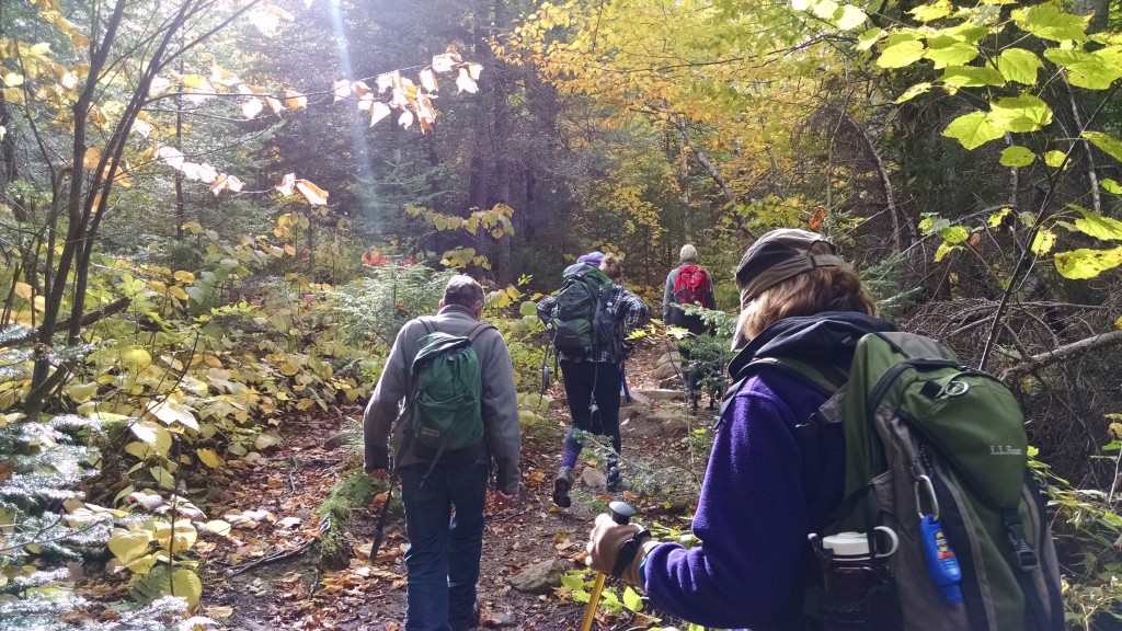
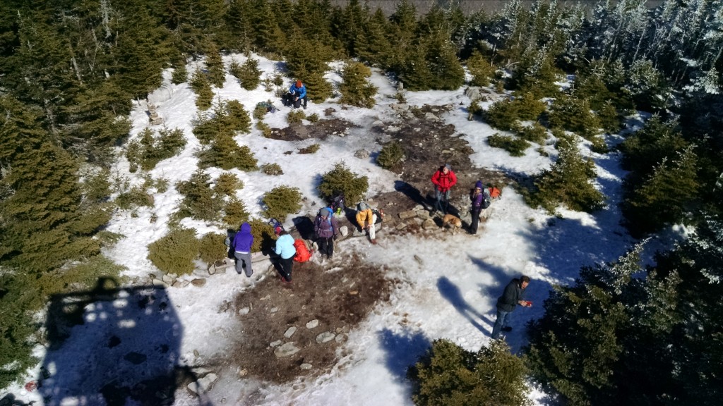
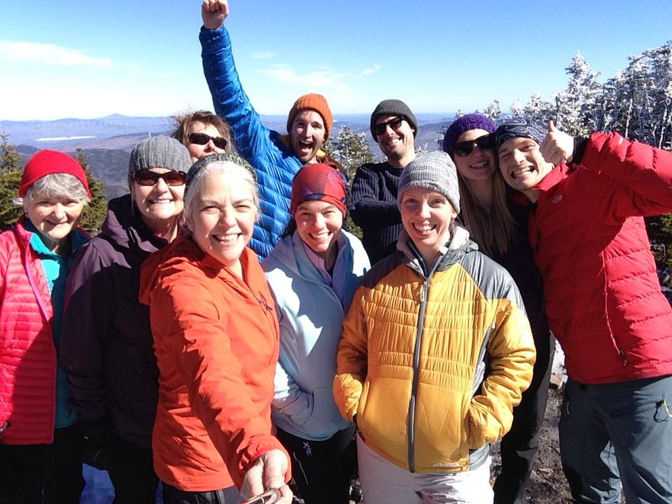
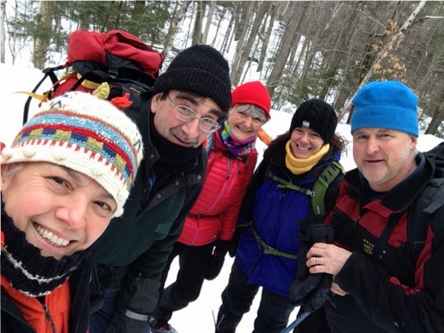
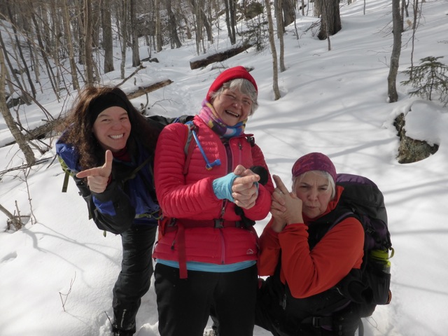
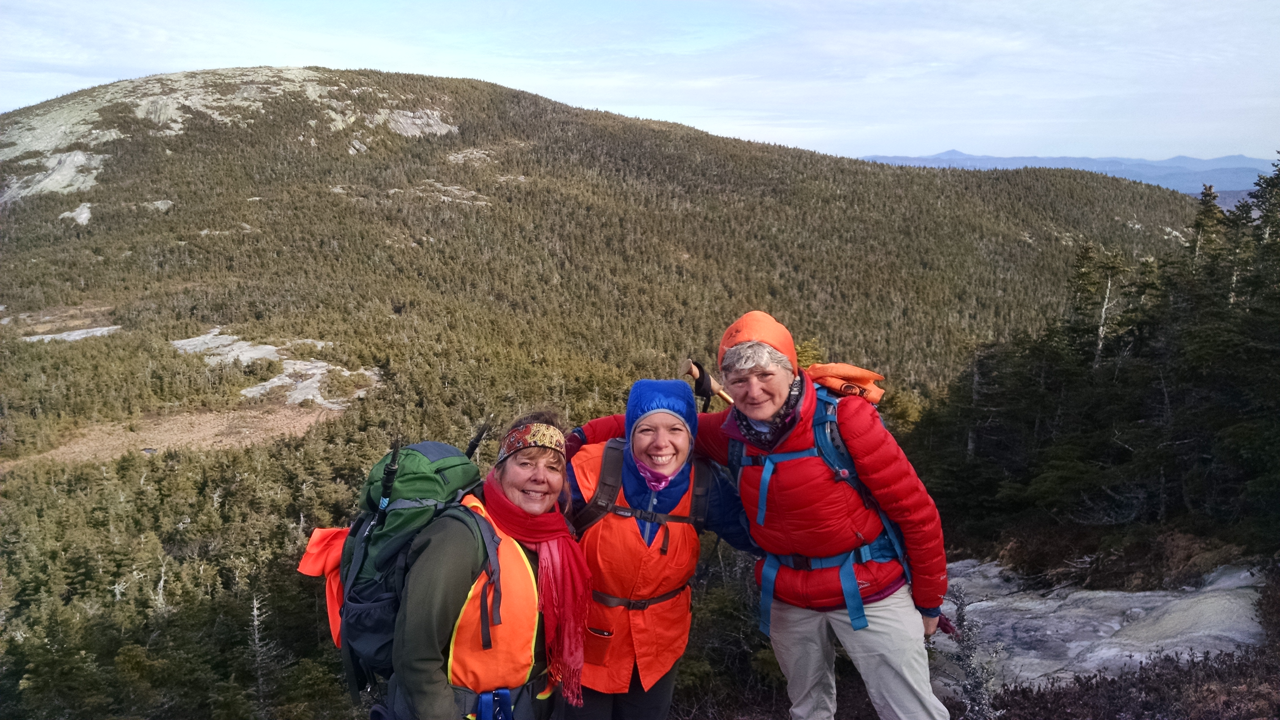
Descending back to the AT, we said goodbye to Simon, who was not spending the night, at the junction, and 4 of us made our way across the high ridge and up to the summit of Spaulding Mountain, elevation 4,010’.  That evening found us making dinner and setting up camp at the Spaulding lean-to with several other groups, including a colorful group from the Montreal Outdoor Adventure Club.

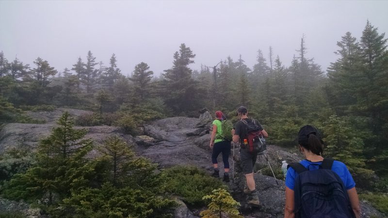
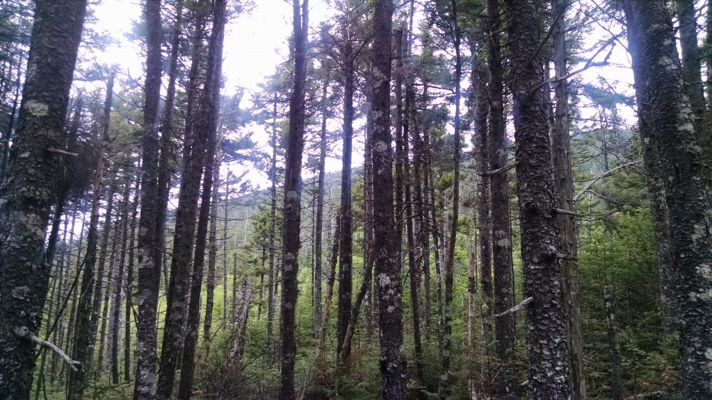
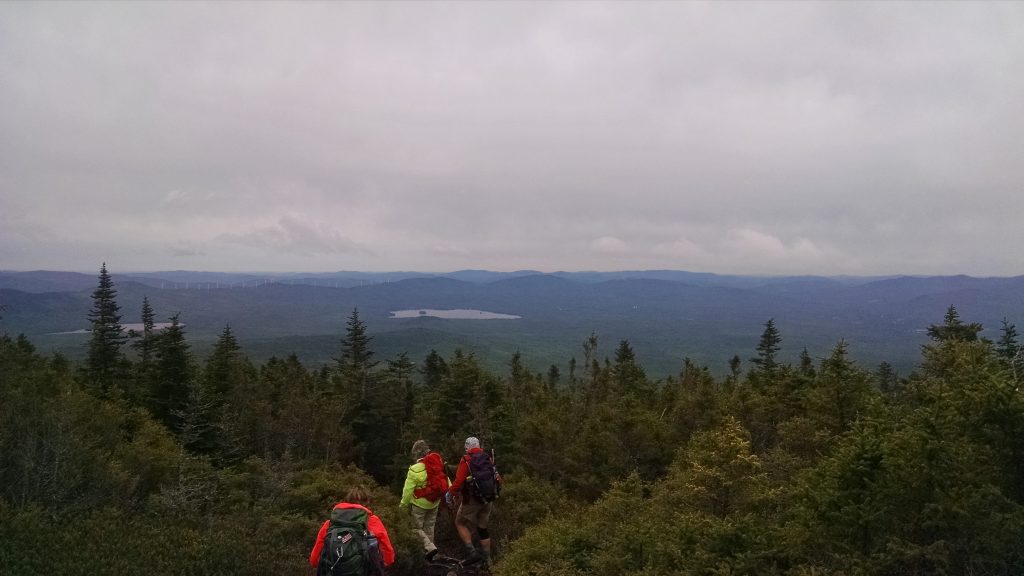
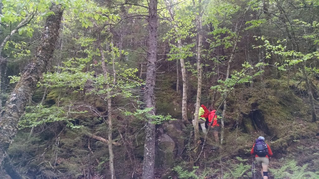
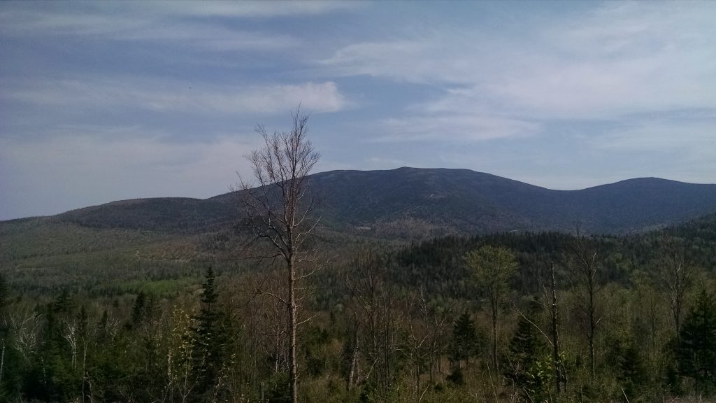
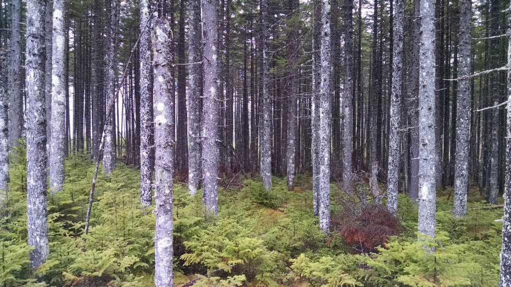
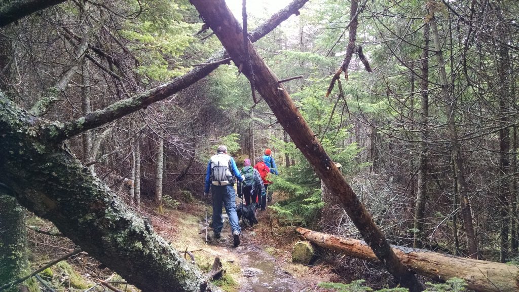
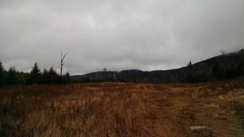
After a great night’s sleep and a good breakfast, we followed the AT for 1.1 miles to the junction of the Mt. Abraham side trail, and after another mile or so of walking in lovely, dense forest, we emerged rather abruptly onto a large talus field mixed with some of the most pristine alpine garden areas I’ve ever seen.  The approach to the summit of Mt. Abraham is in wonderful condition with flowers blooming, thriving greenery, and short but healthy evergreens, and the views were magnificent under a blue sky.  At the 4,049’ summit of Mt. Abraham, looking toward Middle Abraham which was now just 1 peak away, we watched a helicopter circle and drop materials onto what we presumed to be hot spots on the far side of the mountain. As the helicopter made its way back to Kingfield to pick up additional materials, 2 spots on the scorched mountaintop began smoking. Though we saw no additional flames, judging by the continual sound of 2 helicopters tag-teaming as we made our way toward the trail’s end at Rapid Stream Road we understood that the danger had not yet passed.  The total mileage for day 1 was just over 6 miles. The 2nd day’s mileage totaled approximately 7.

Look for details regarding the next Maine Hikes trip in July, up Puzzle Mountain in Grafton Notch.

Old Blue Mountain Trip Report

Old Speck and Grafton Notch.
The gang!
First rungs.
Old Blue through the trees.
Sawyer Mountain, across Black Brook Notch.
Looking south down South Arm Road. Telstar is in the distance.
The view north.
Roxbury Pond and Record Hill wind turbines.
Up a steeper section.
Cliffside on the trail.

We had a great hike up Old Blue Mountain over the weekend via the Appalachian Trail for National Trails Day – weather held (as it always does for Maine Hikes!!!) and we had some great company.  We started off at the South Arm Road crossing in Black Brook Notch with some great baked goodies courtesy of Rosemont Market in Portland.  There was enough to send some over to the Maine Appalachian Trail Club crew who were building a new campsite across the road.  Thanks guys!

When we finally got going, the trail is very steep initially and there is one section with rungs.  However, because of the lower elevation, there were no slippery rocks and ledges to contend with, and we slogged on until reaching the top of the Black Brook Cliffs.  From there, we had view through the trees across the notch and south to the Andover Earth Station which operated with the Telstar 1 satellite.  This middle section of the trail is moderate before again ascending steeply to the summit of Old Blue itself.  There was another section of rungs, but it was not difficult to climb (even for Shyla the dog).

The weather was threatening all day and the clouds obscured the views temporarily, but when we reached the summit those drifted away and we could see in all directions.  To the southwest we could see Old Speck, the Baldpates and the Shelburne-Moriah range in the distance.  To the north lay the huge mass of Elephant Mountain and, trailing northward, the Bemis Range.  Some of us could see Saddleback and Mount Abraham to the northeast if we stood on a high rock and peered over the krummholz.

We stayed on the summit for lunch for about half an hour (thanks for the chocolates Debi!) and headed back down.  The descent was much faster than the ascent since the 2.8 miles is almost entirely downhill.  Some of us stopped in Andover on the way out for some ice cream, though the weather was starting to turn by then.  Thanks for a great day everybody!

Redington Forest Mountain Bike Stewardship Report

The Nash Stream valley from the slopes of Black Nubble.
Crocker Mountain
East Kennebago Mountain to the north.
Fearless.
Biking along Black Nubble.

In anticipation of the acquisition of a conservation easement over the Redington Forest property, Maine A.T. Land Trust Vice President Pete McKinley, board member Claire Polfus and Executive Director Simon Rucker visited the property in order to collect GIS and scientific data for the baseline documentation of the property.  There have been several previous visits – mostly on foot or in a pickup truck – but this time the means of egress would be more innovative for a Maine woods project: mountain bikes.

As you can see from the video, the logging roads were somewhat bumpy but the crew was able to cover significant ground.  Many of the old roads are either closed off to vehicular access or have been out of use for so long that they are more trail than road these days.  By taking the bikes, we were able to get onto terrain that has not been visited since the roads were closed off by berms.  The views of the Nash Stream valley from the slopes of Black Nubble were spectacular – mostly unbroken forest from the Crockers over to Mount Redington and down to the stream valley.  This area is cooler and more densely forested than other areas of the Redington property.

The weather was nice if a bit hot, but any rain held off and we were able to visit three separate locations.  Everybody agreed that this is a special place and that conservation of it will be an enormous gain for the A.T. corridor.  And as you can see, there are plenty of recreation opportunities of all kinds in Redington Forest.

Spruce Mountain – Four Ponds Trip Report

Height of Land.
Bemis and Elephant Mountains.
View over Long Pond.
Spruce forest on Spruce Mountain.
The group.
Trail conditions.
Windy shore of Long Pond.
Snow falling on Moxie Pond.

The land trust held the season’s first Maine Hikes trip on the A.T. on May 15th. The destination for this hike was Spruce Mountain and the Maine Public Reserve Land’s Four Ponds unit. We had a crew of five on a windy, cloudy day but fortunately the heavier weather had moved out and we were in dense spruce forests for most of the trek. The meetup spot was the Height of Land parking area which overlooks the western Maine lakes and the Bemis Mountain range.  In 2011, the Maine Department of Transportation rebuilt the parking area at the overlook spot, putting in signs and laying stone steps for an as-yet-to-be-completed interpretive trail.

Having just come down Bemis Mountain, the Appalachian Trail proceeds from the parking area to the east, up Spruce Mountain (2530’) and down to large areas of montane spruce-fir forest in largely wet areas.  The terrain in this section is largely flat, and proceeds along the first two ponds, Moxie and Long, before heading up along the south side of Four Ponds Mountain.  While the conditions were pretty muddy even by Maine standards, the sights, sounds and company were all wonderful.  The A.T. skirts the northern edge of the state land while remaining just below the summit of Four Ponds Mountain and becomes steep in this section, but only briefly. Views to the south over Long Pond – the largest of the four in the state land unit – stretch to the south and west, where fresh snow dusted the higher ridges. As the trail descended to the isthmus between Long Pond and Sabbath Day Pond, the third of the Four Ponds, the group reached the A.T.’s Sabbath Day Pond shelter. The distance to the shelter was 3.6 miles but the mild terrain made it feel much shorter. After a nice lunch and some musings on the scattered bear skeleton in the vicinity, the group headed back on the same route.  There is a bushwhack route but the group decided to stick with the A.T. since it was a good hike in.

The wind along the shore of the lakes increased and the intermittent rain showers turned to snow and sleet.  The southern shore of Long Pond still showed deep areas on snow in the woods which were clearly visible from the higher elevations.  Fortunately, the snow and sleet remained light for the duration of the return journey, and back at the cars everybody agreed that this was a great, unknown Appalachian Trail hike in Maine.  Despite the lack of major mountain summits, there were plenty of views and not another hiker was to be seen.  A great day on the trail!

Look for information on our next hike – up Old Blue Mountain on June 11th – shortly!

2016 Maine A.T. Land Trust Hikes Calendar

Heading up the last leg.

So we can all plan our summers more efficiently, without further ado, here is our schedule for the 2016 hiking season!

Spruce Mountain – May 15

Old Blue Mountain – June 11

Sugarloaf and Spaulding Mountains – June 25

Puzzle Mountain – July 9

Goose Eye Mountain – July 30

National Park Service 100th Anniversary Hike (TBD) – August 25 or weekend directly after

Saddleback Mountain via Berry Pickers’ Trail – September 18

Pleasant Pond Mountain – September 25

White Cap Mountain – October 8

These day trips are part of our Maine Hikes program to get people out on, and interested in, the Appalachian Trail landscape in Maine.  All of the hikes are led by staff or trained volunteers and there is no cost.

These dates are subject to change, but we plan to adhere to them as much as possible.  It is likely that we will be squeezing more hikes in between these dates, too.  As we get closer in time to each hike, there will be an extensive post with information about time, trails and terrain.  We will also be populating our events calendar on our website shortly so you can access the information and share with your own calendar.

We look forward to seeing you all!

Old Speck Trip Report

View of the summit from the Eyebrow.

On a recent Saturday, the land trust spent the day in Grafton Notch State Park as part of our Maine Hikes guided Appalachian Trail hike program.  The A.T. follows the Mahoosuc Range from the New Hampshire border for approximately twenty miles before crossing the Baldpates and heading north to Bemis Mountain and beyond.

The view west into Mahoosuc Notch and the Presidential Range.

We had a group of ten set out on the A.T. – destination, Old Speck, the fifth highest mountain in Maine and the highest until the A.T. reaches Crocker Mountain.  It was a beautiful, clear day (as you can see from the photos) and the conditions were manageable.  Kimberley had hiked up Old Speck just a week before and she said that snowshoes weren’t needed, so everybody in the group of ten (and two dogs) slipped on their traction aids and we headed up at 8:30am.

Negotiating the icy trail.

Traction aids were definitely needed!  While the ground was bare at lower elevations, once we entered the woods there was ice on the trail.  Above about 2,500 feet, there was 1 to 2 feet of snow in the woods and there were long stretches of trail that were covered in frozen meltwater.  Fortunately, everybody helped out and the dogs were either carried or they went through the deep snow in the woods.  The sun was out and the winds were generally light, and everybody was hungry by the time we reached the summit at 1pm.  We spent about half an hour on top and a few people headed up the fire tower.

The group as seen from the fire tower.

Three or four additional groups were there at the same time.  The conditions were so nice that one group unpacked a camp stove and made grilled cheese sandwiches!  Temperatures were in the 40’s and winds remained light.  Another guy set up a hammock between a tree and the fire tower leg.  Our group hit the trail at 1:30pm.

The ice was a bit more difficult going down but we took our time and helped each other out.  We made up time by descending quickly, as the temperatures were in the 50’s at lower elevations and much of the snow and ice on the trail had softened significantly.  Back at the cars at 4:30pm.  A great hike with even greater company!

Photo courtesy of Deb Carroll, who I didn't ask to use this photo but she won't mind...
Photo courtesy of Deb Carroll, who I didn’t ask to use this photo but she won’t mind…


Caribou Mountain Trip Report

Heading out.
Typical trailhead preparations. One would think that this was a normal group of hikers.
…what are these strange forms of communication.
What TV show?
It was actually warmer on the ground in the snow.
Perfectly symmetrical snow angel.
Some people express joy at getting down the mountain in different ways.

By Deborah Carroll

In spite of warnings from friends and family regarding forecasted cold temperatures, a decision was made to move forward with our hike up Caribou Mountain the day prior to our trip.  The understanding however, was that if the weather did in fact prove to be too cold, even a mile into hike, the group would turn back.

Dressed in multiple layers of our favorite hiking duds, our happy herd of hearty hikers met at the trailhead at 9:00 in the morning on Saturday, February 13.  Though the temperatures were indeed hovering in single digits, the sun was shining, spirits were high, and we were all well equipped for a day of wandering in snowy woods.

Given the lack of significant snowfall, decisions were made to leave the snowshoes in the car and make the trek using just microspikes.  A decision that, except for a few very short sections where blowing snow had filled in previously shallow or packed areas of the trail, proved good.

Unlike a previous hike, we were able to park at the gate located about a half mile up the road past Pooh Corner Farm.  Our hike began with a relatively flat and short walk along a forest service road before the trail veered to the right and into a forest of mixed evergreen and birch, and our group fell quickly into a really nice pace.

After a mile or so of multiple, mostly frozen, stream crossings, and a few brief pauses to layer down, we began a mostly gradual ascent which took us to the “Caribou Speckled Mtn. Wilderness, WMNF” sign and, a little further on, to a trail junction in the Caribou-Gammon col where the trail turns sharply left and the final push to the summit begins.

Though the temperatures continued to hover in single digits, as per the thermometer dangling from one pack, the sun and lack of wind (combined with exertion and being well prepared) made for warm wanderings.  Still, we paused a few hundred yards from the summit to put on warmer layers.

As one member of our party put it: “Walking onto the summit was like getting sand blasted with tiny ice particles.”  Though we didn’t check the thermometer, the temperature at the summit dropped drastically and the gusts of winds whipped us about.  Needless to say, after snapping a few quick group selfies that left us with frigid fingers and USGS marker group boot photos (a tradition with members of this group) we headed back down to the quiet stillness of the col to eat our lunch, make snow angels, and do a headstand (another tradition).

After the wildly windy and super chilled summit, the walk out of the woods felt positively balmy and, as we did on the way up, we stopped a few times to admire ice flows and vistas, chat, and play at pretzel tree.

No trip up the north side of Caribou would be complete without a post-hike visit to Carol in her flower and gift shop at Pooh Corner Farm, and so we did before saying goodbye to the old and new friends who had shared a cold, snowy, and memorable “Great Maine Outdoor Weekend” adventure.

Redington Forest Report: Into the Ecological Reserve

Black Nubble.
Forest on the Crocker Mountain plateau – a mix of hardwoods and softwoods.
Pete McKinley, Maine A.T. Land Trust Vice President, puts his scientific skills to good use.
High-elevation spruce-fir forest.
Former log landing from timber harvesting operations.

The land trust paid the season’s final visit to the Redington Forest property in the High Peaks region in mid-November.  This area has a great variety of ecological zones which includes brook trout streams, upland wetlands, ponds, forests of all types and mountainous terrain.  The last category includes an area which covers most of the Crocker Mountain range and which will be classified as an ecological reserve area once the project is complete.  It is to this area that Pete McKinley, land trust Vice President and Wilderness Society ecologist, and Simon Rucker, land trust Executive Director, headed to a few weeks ago.

The area is difficult to access, and after leaving the truck when it could go no further, the two eventually left the logging roads at approximately 2700 feet and proceeded up through former harvesting areas to a large area of Aspen-Birch Forest on the shoulder of Crocker Mountain.  According to Maine Natural Areas Program Ecologist Andy Cutko, there was probably a forest fire on this plateau roughly 60-70 years ago, resulting in the glade of aspens with an understory of spruce and fir (see photo above).  There was evidence of charcoal in the soil on this visit and the forest is in great health as it regenerates.  It is a prime area for game and is truly a special spot.

At about 3,000 feet in elevation, after reaching the subalpine forest area, the rain showers that had lingered for most of the day turned to sleet and the two decided to turn back.  The weather conditions at this time of year prevent extended field study, and there was a hike of approximately two miles to get back to the truck.

There’s much more to be studied and documented at Redington Forest no matter which season.  Check our website and we’ll have a winter update in the New Year.

Baldpates Hike Trip Report

East Baldpate from West Baldpate.

We have a great day for a hike last week – given the lateness of the season, the fact that we got all the way to West Baldpate without any traction aid is pretty remarkable!  But given the icy conditions – see the monorail on the trail in the photo above – it probably would have taken crampons to get to the next peak.

Stream crossing.
Stream crossing.

The day started out a bit cloudy and chilly, but everybody was in their best hunter orange and bundled up enough to start shedding layers.  The A.T. heading east out of Grafton Notch is not very steep and we progressed rapidly up the slope of the Baldpate massif.  Somehow everybody in the group missed the junction point with the Baldpate shelter spur trail, which is seen as the point at which you start really ascending.

Getting icy...
Getting icy…

The trail began to get icier and we encountered a group heading back down the mountain.  They did not have traction aids and had to turn back.

High point.
High point.

We reached the summit of West Baldpate, and knowing that the trail was going to be fully-iced over, and that we had a limited amount of daylight to work with, we decided to turn back.

Looking northwest.
Looking northwest.

We enjoyed the view before heading down.  The additional time we had allowed us to stop at the Baldpate shelter on the way back to enjoy a leisurely lunch in the sunshine.  It was a great day and a perfect hike leading into Thanksgiving!