Note: Redington Forest remains private property until the acquisition of the conservation easement. Please respect the landowner’s rights until public access is granted.
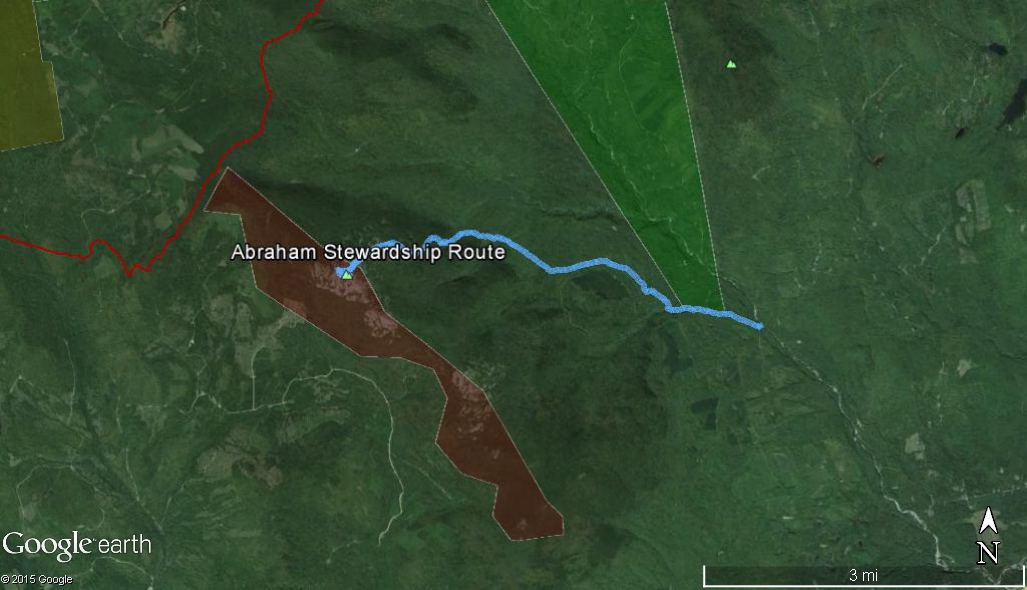
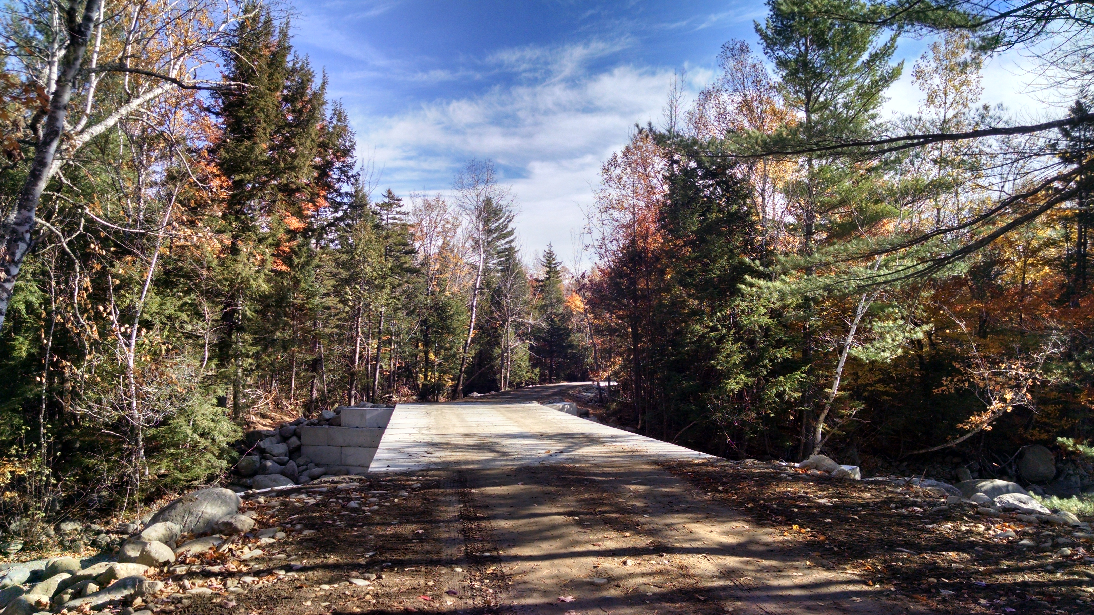
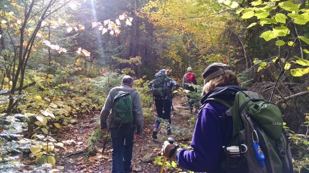
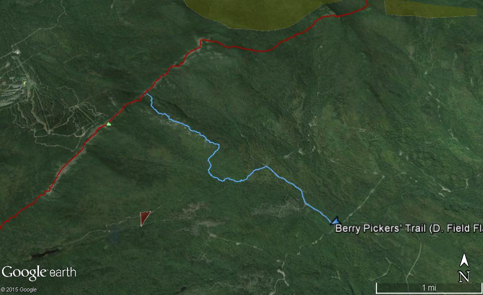
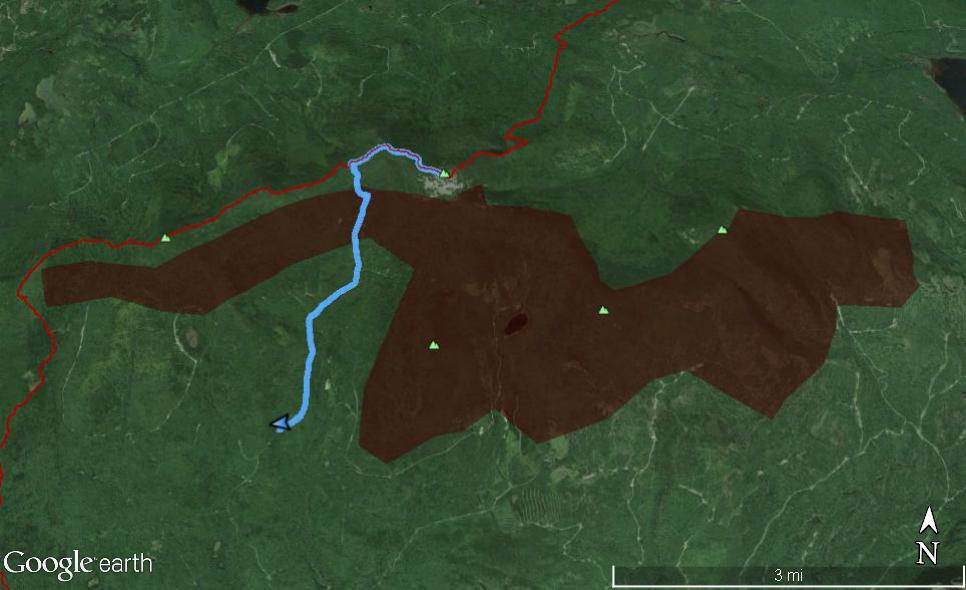
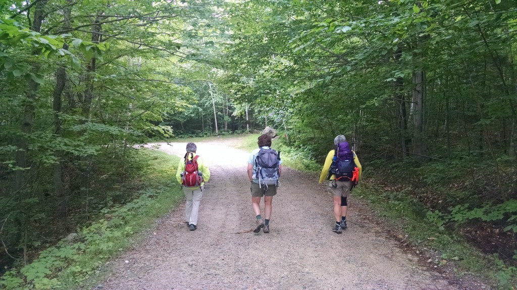
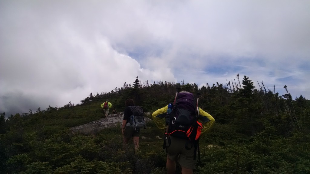
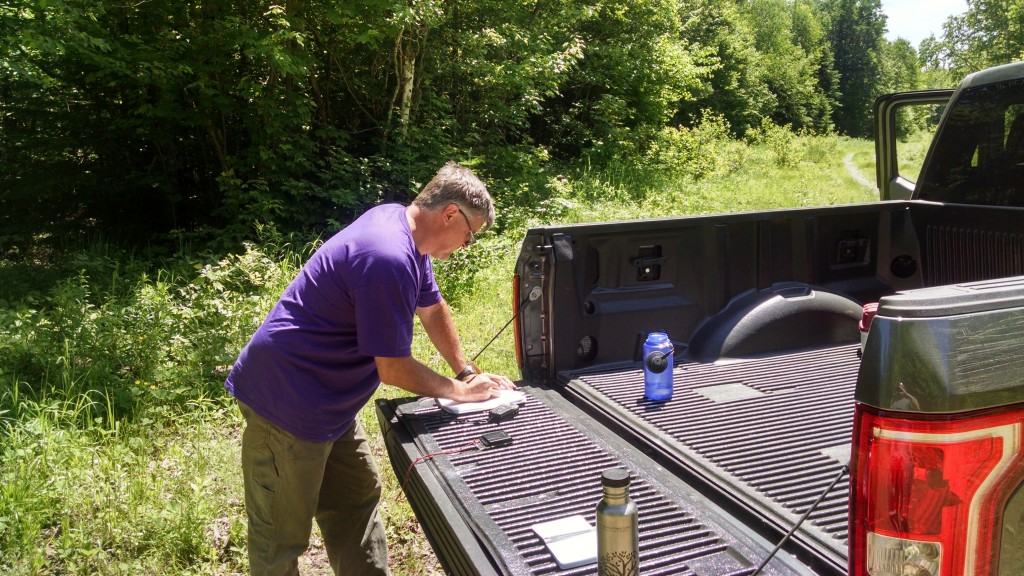
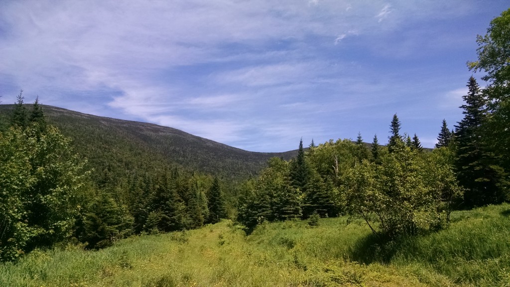
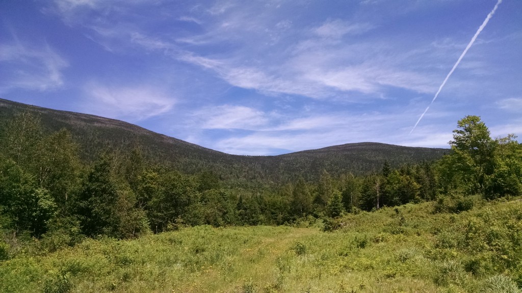
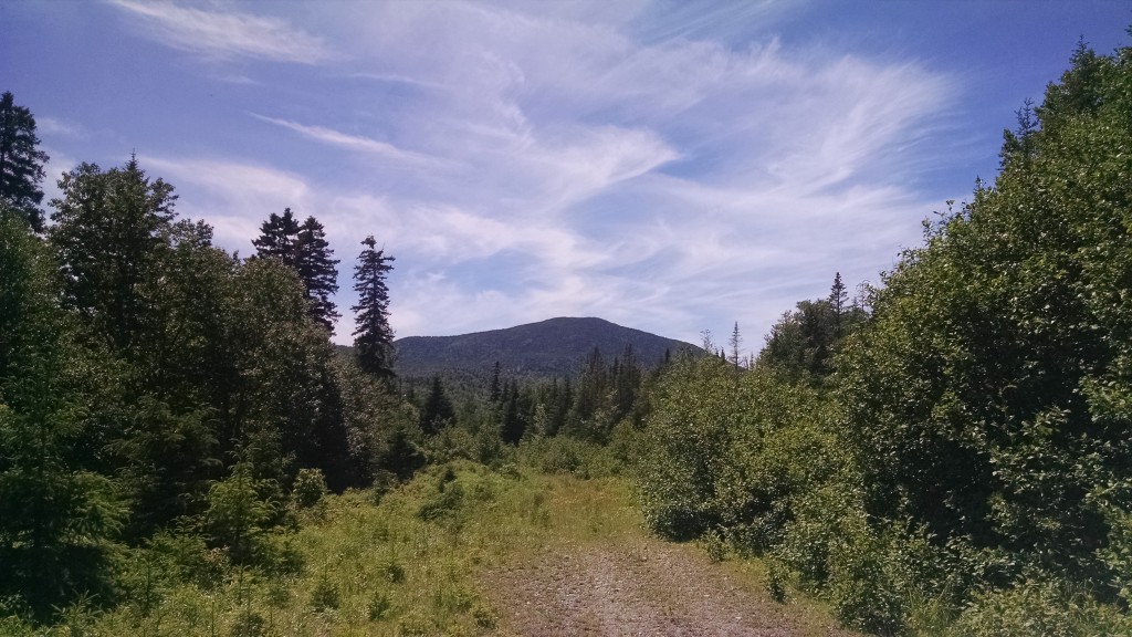
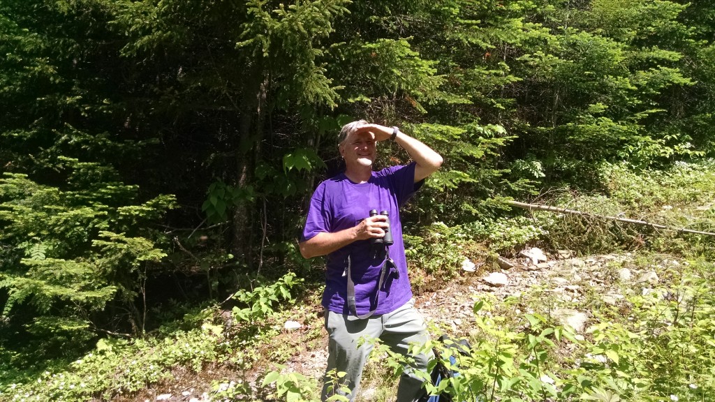
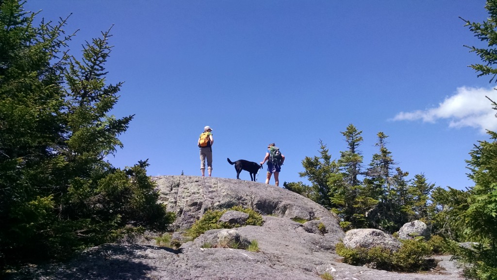
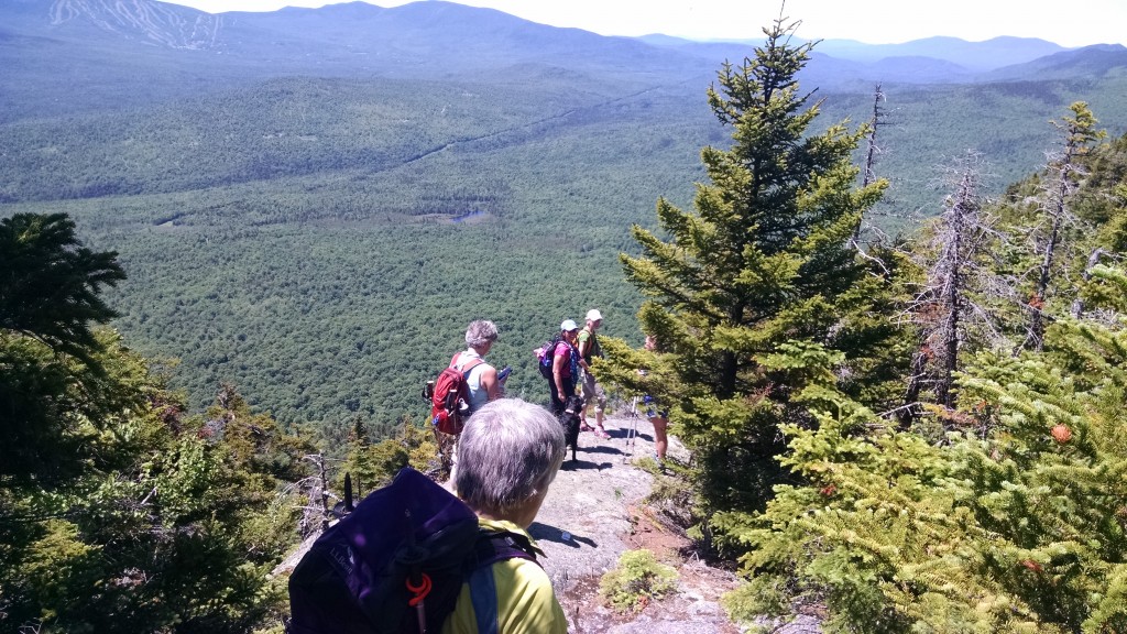
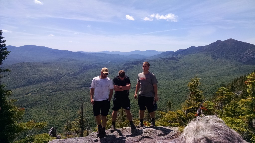
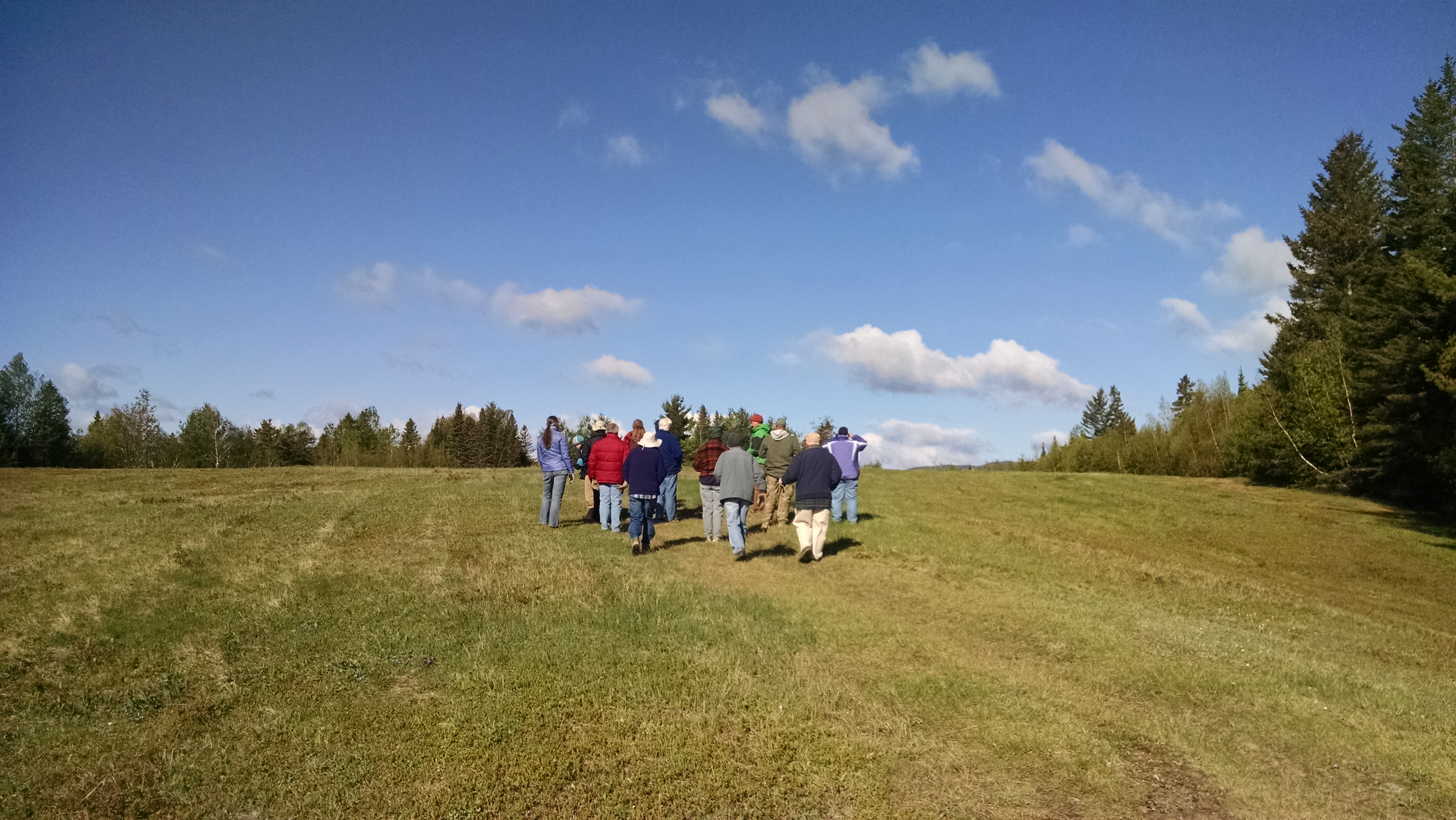
Maine A.T. Land Trust Vice President Pete McKinley and Executive Director Simon Rucker headed up to Redington Forest for a second stewardship visit for work related to the conservation easement on the property. The first visit was an overview trip of the property to review access and the conditions of roads, bridges and culverts on the property. This second visit was taken with the intent to start exploring the conservation values of Redington Forest, in particular the eastern portion of the land and its high-elevation forests.
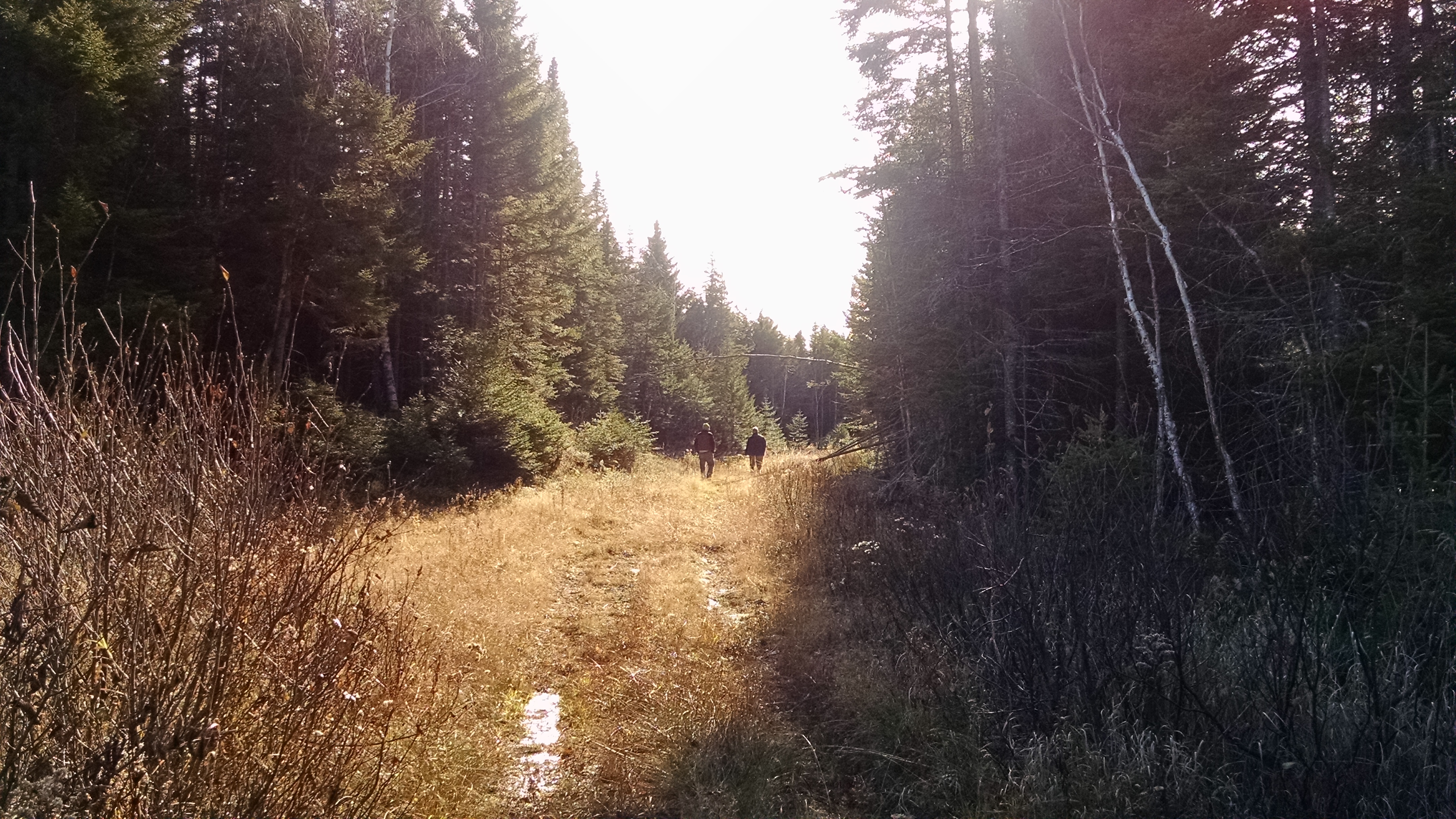
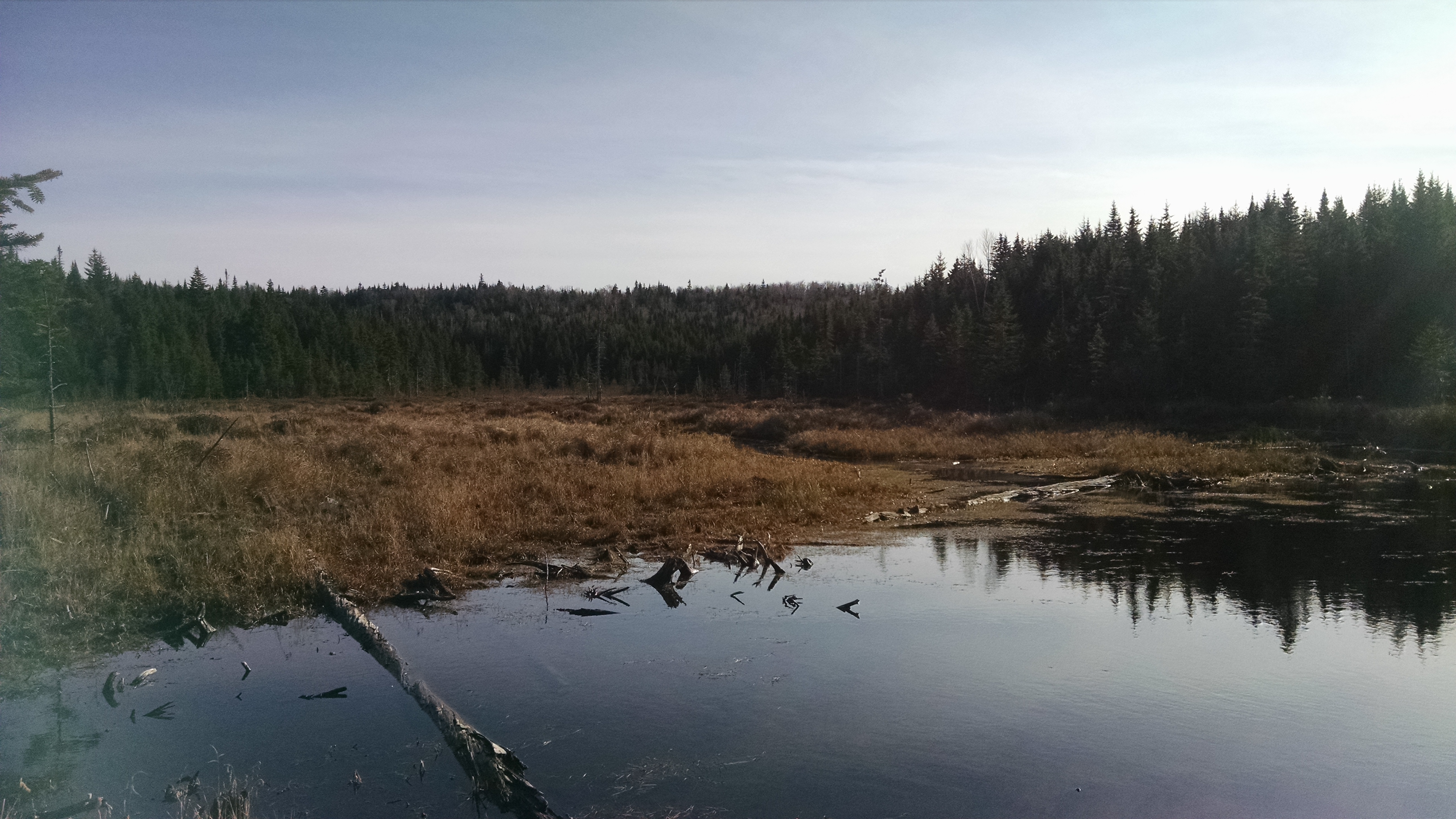
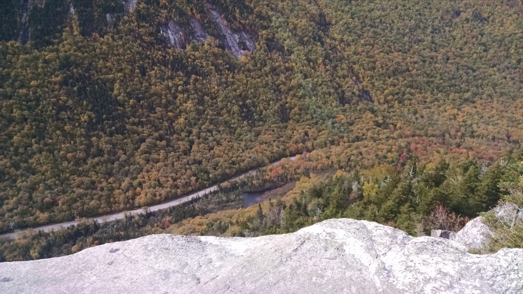
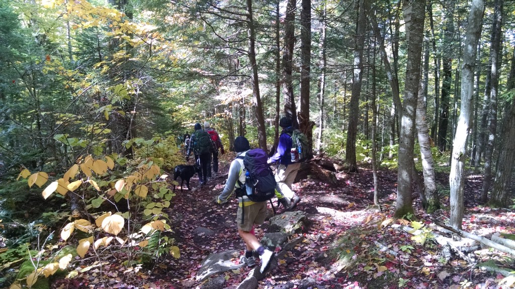
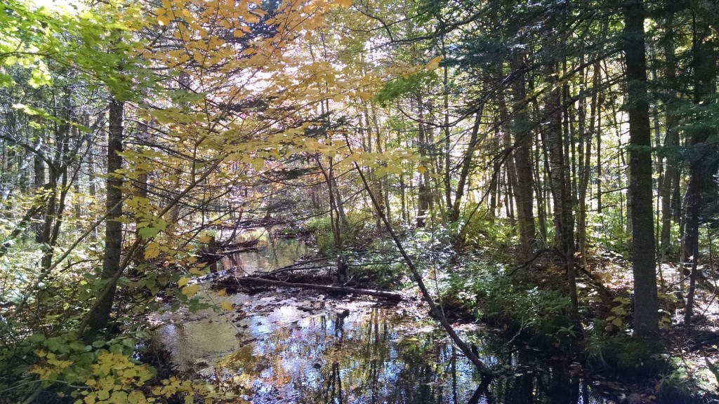
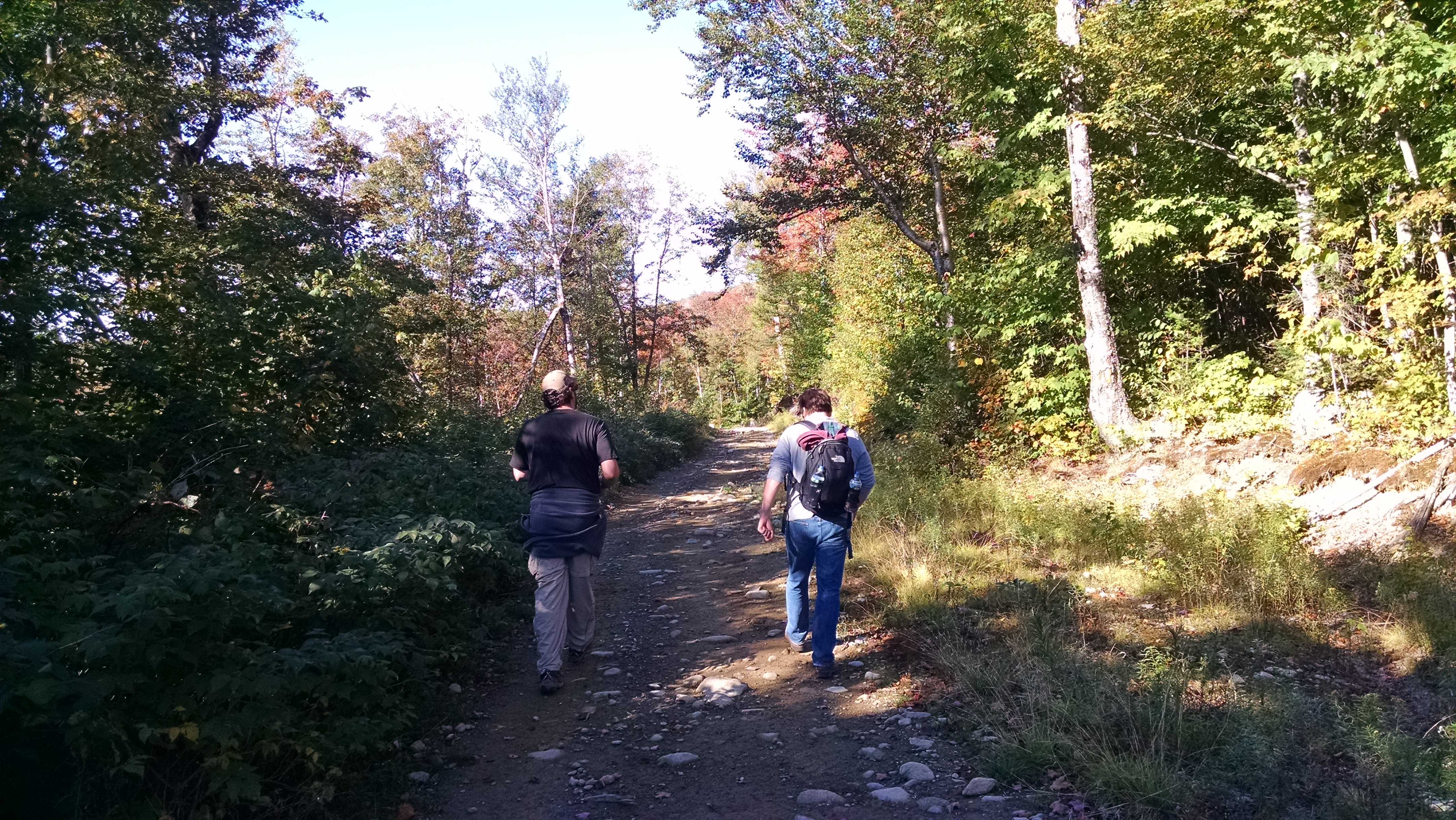
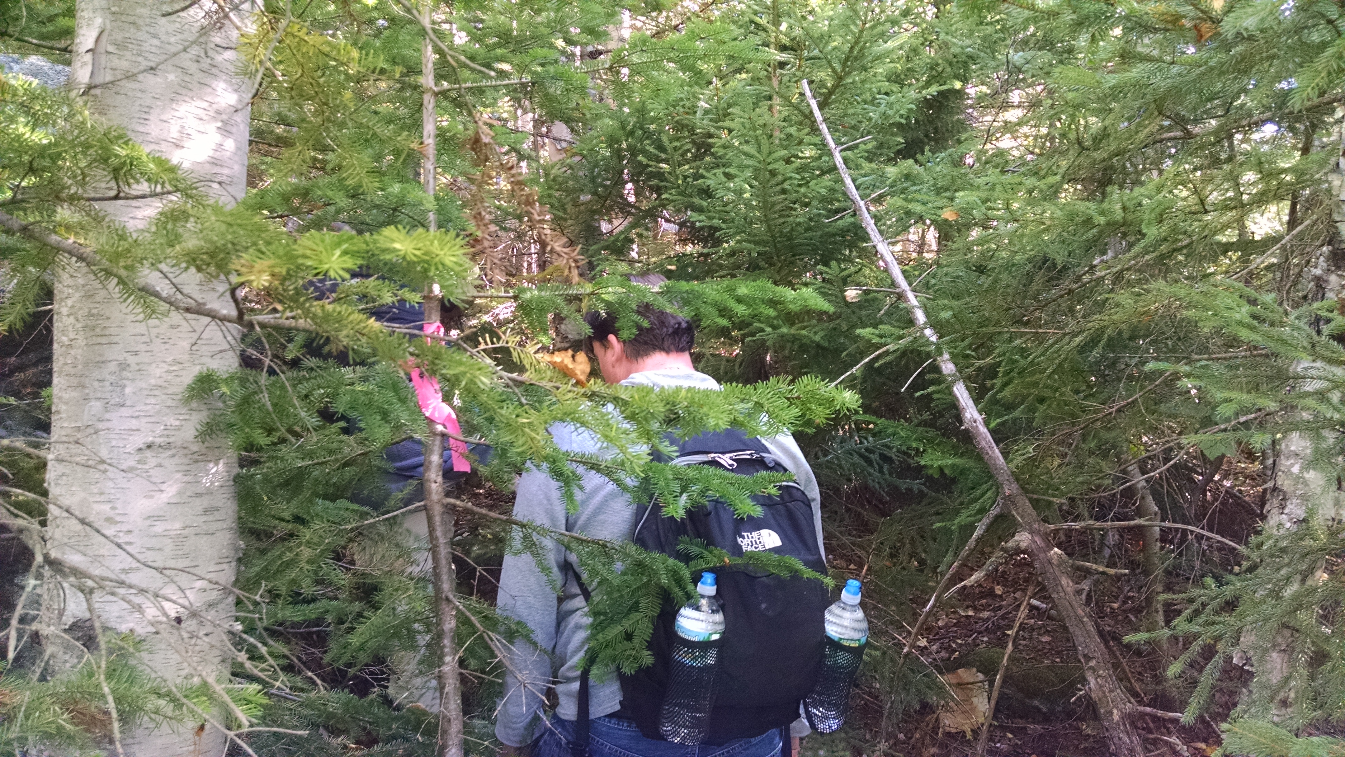
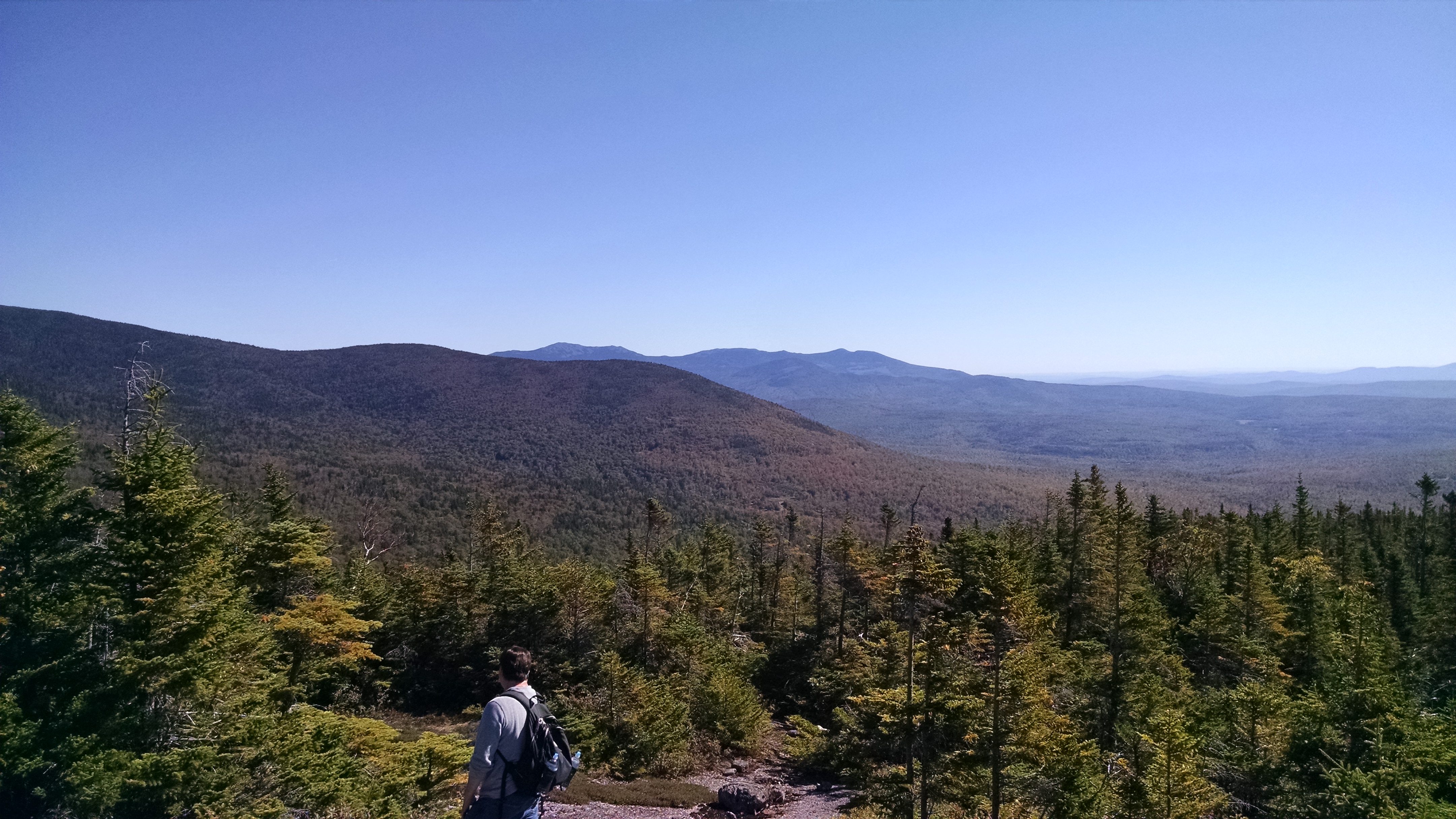
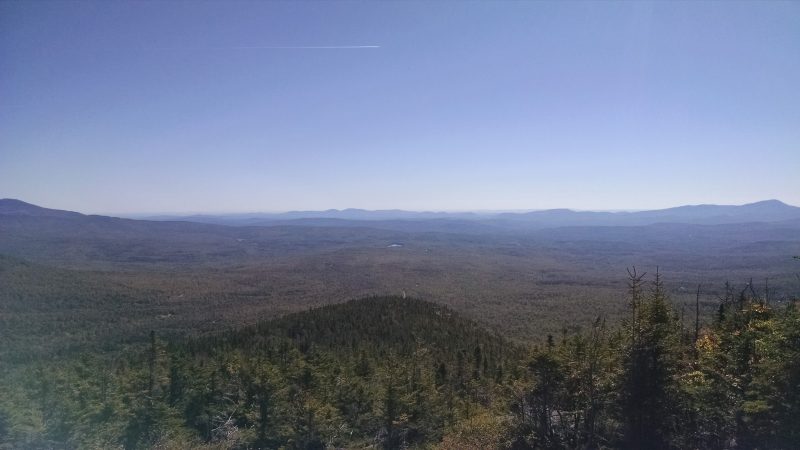
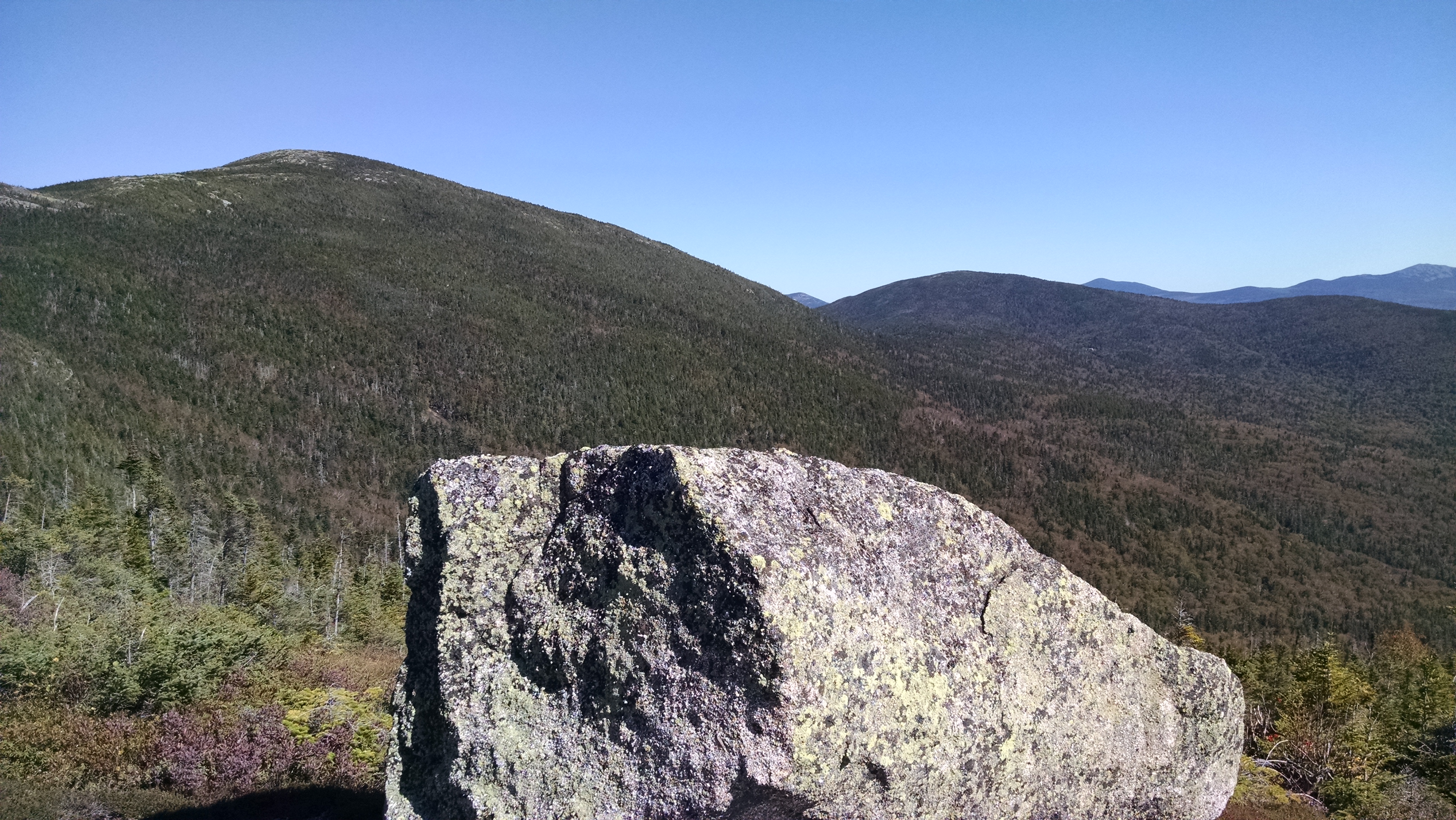
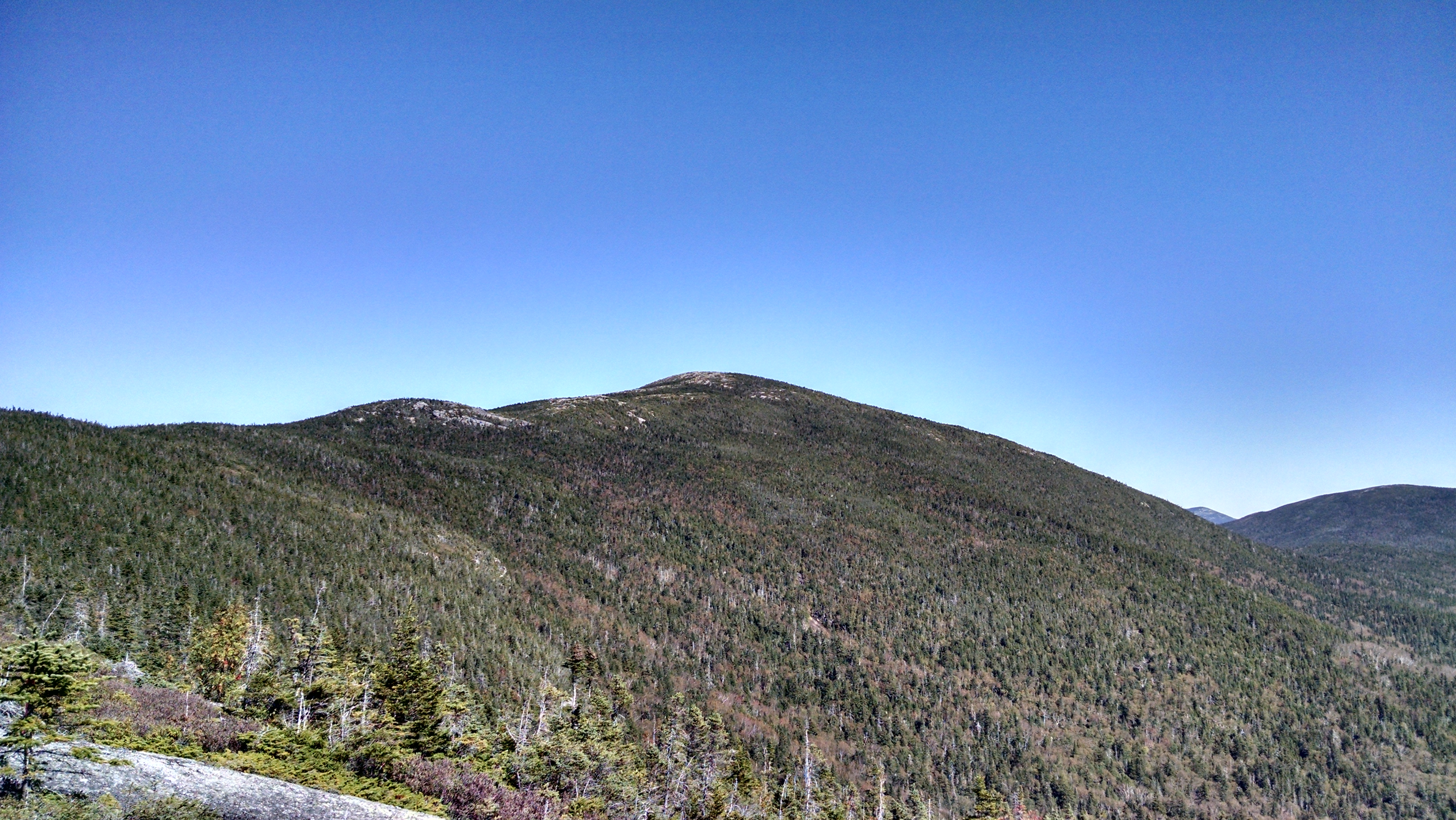
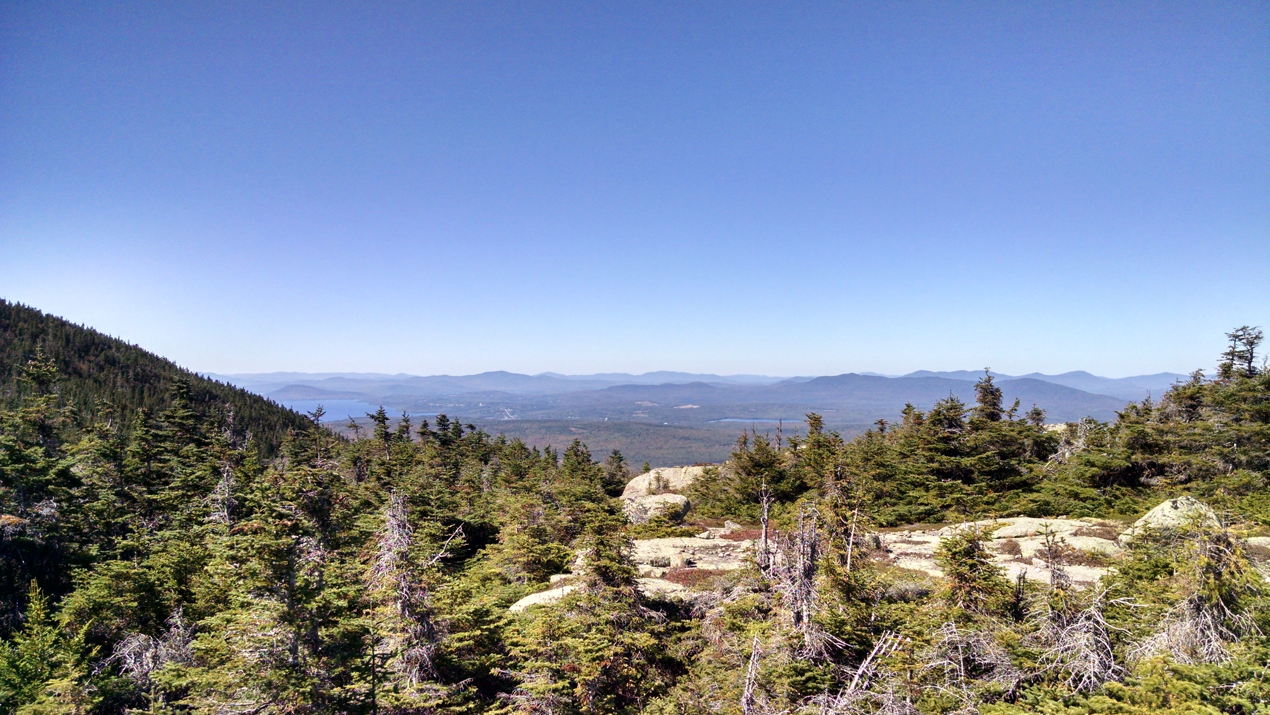
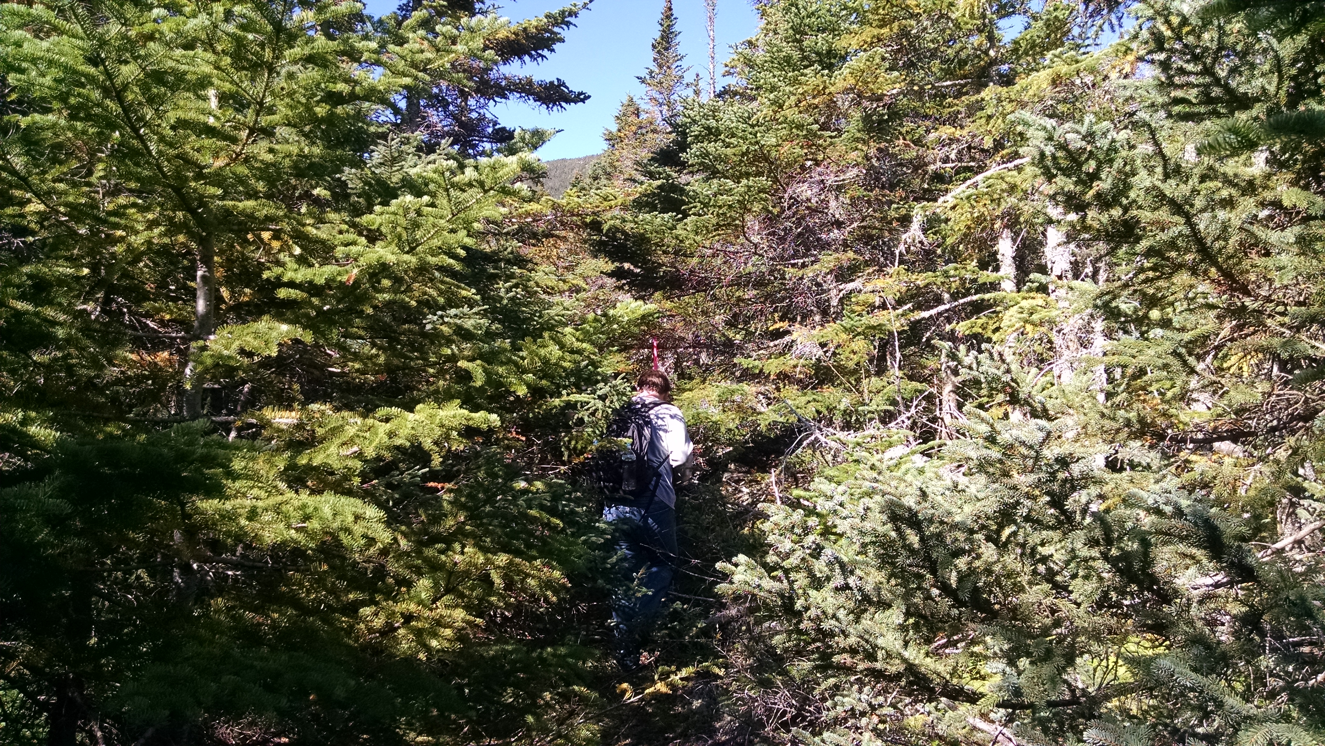
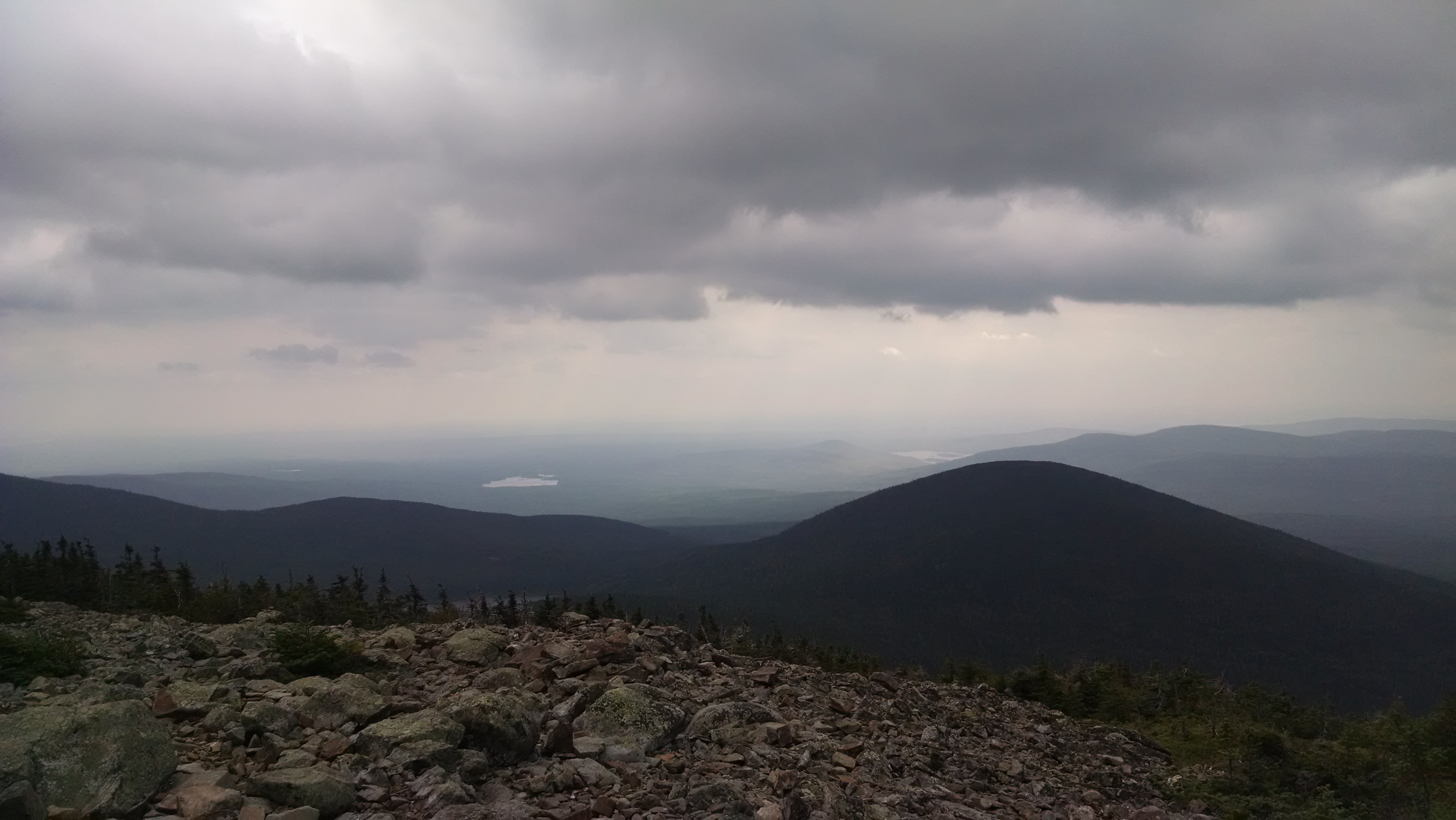
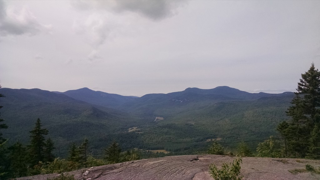
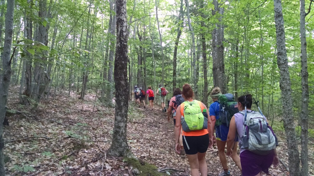
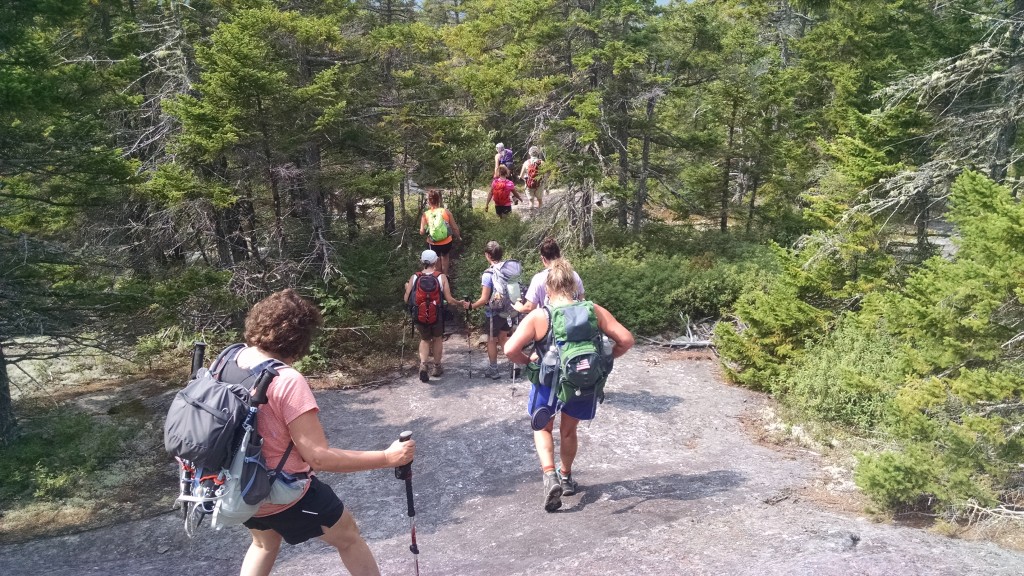
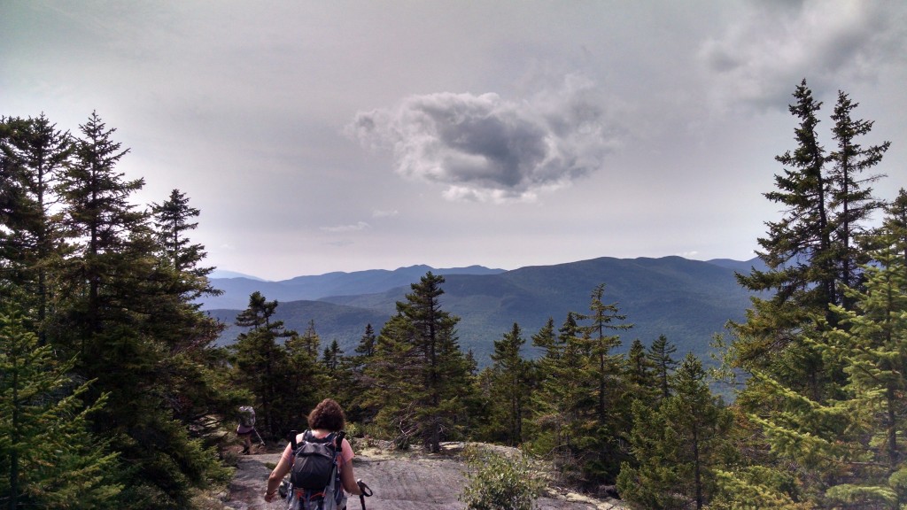
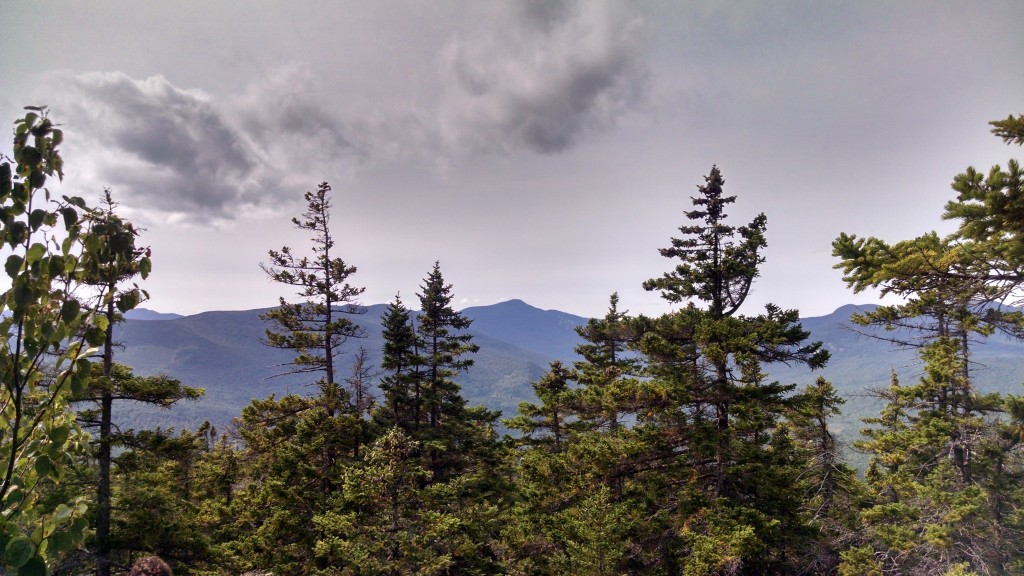
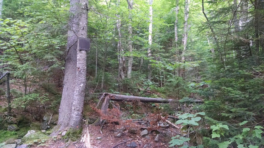
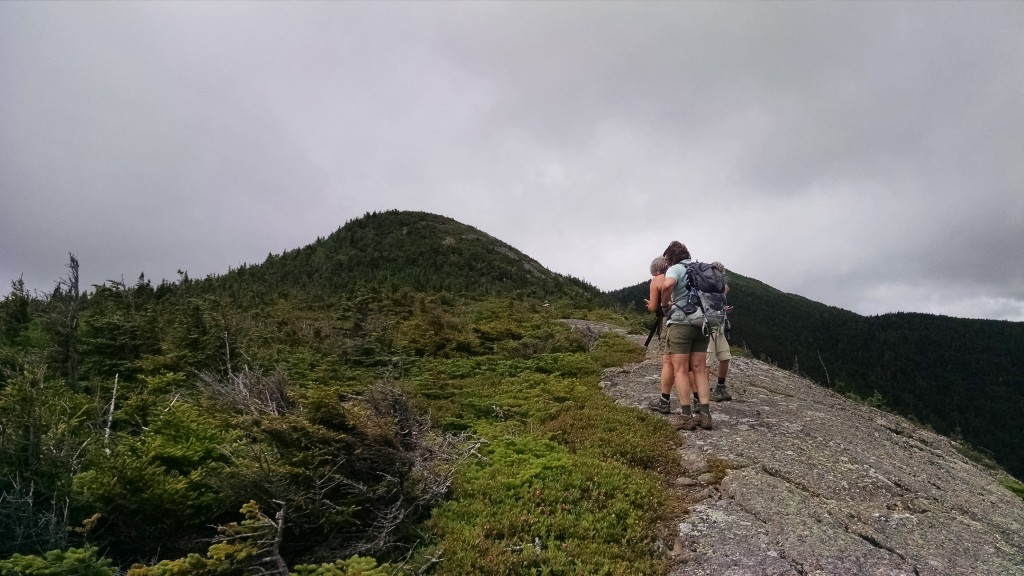
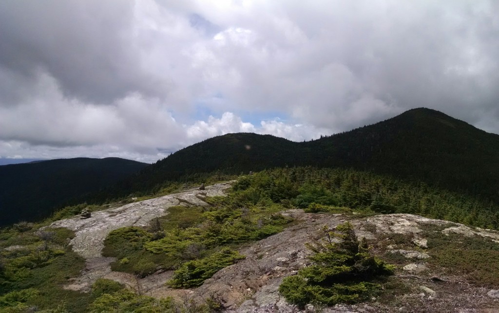
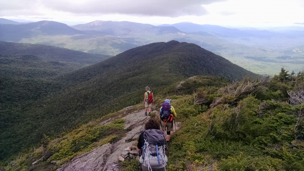
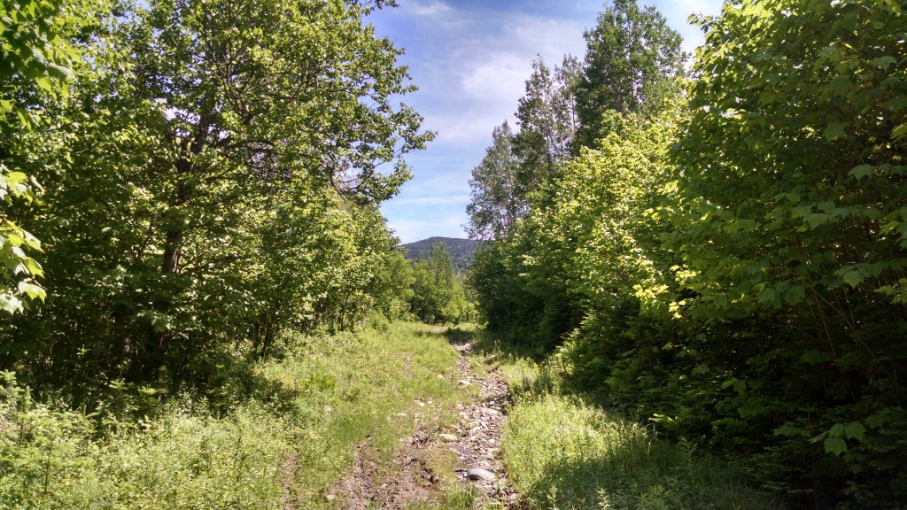
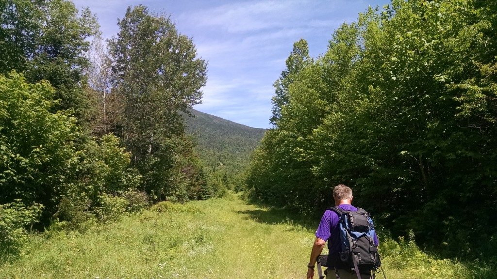
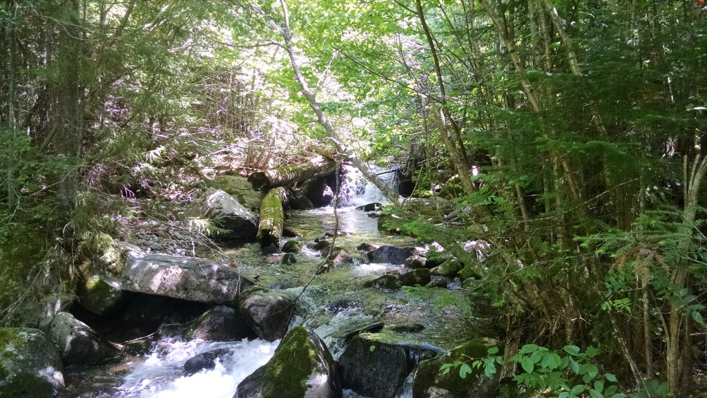
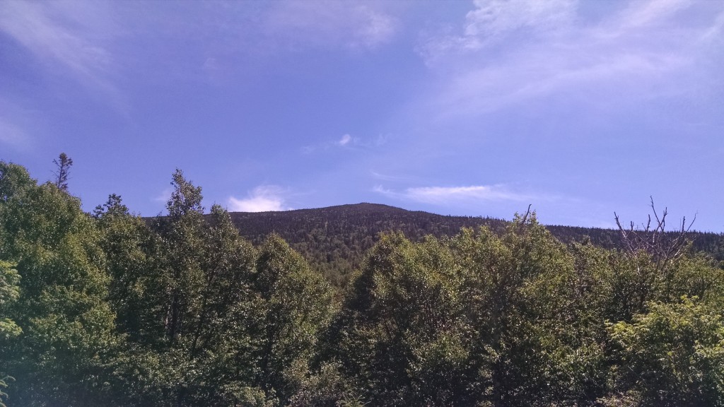
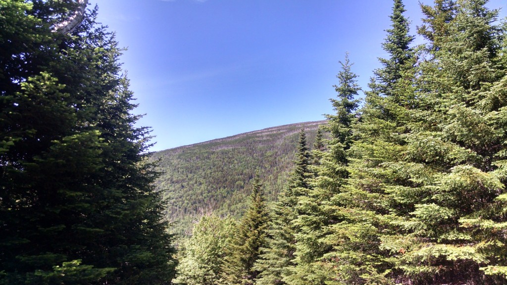
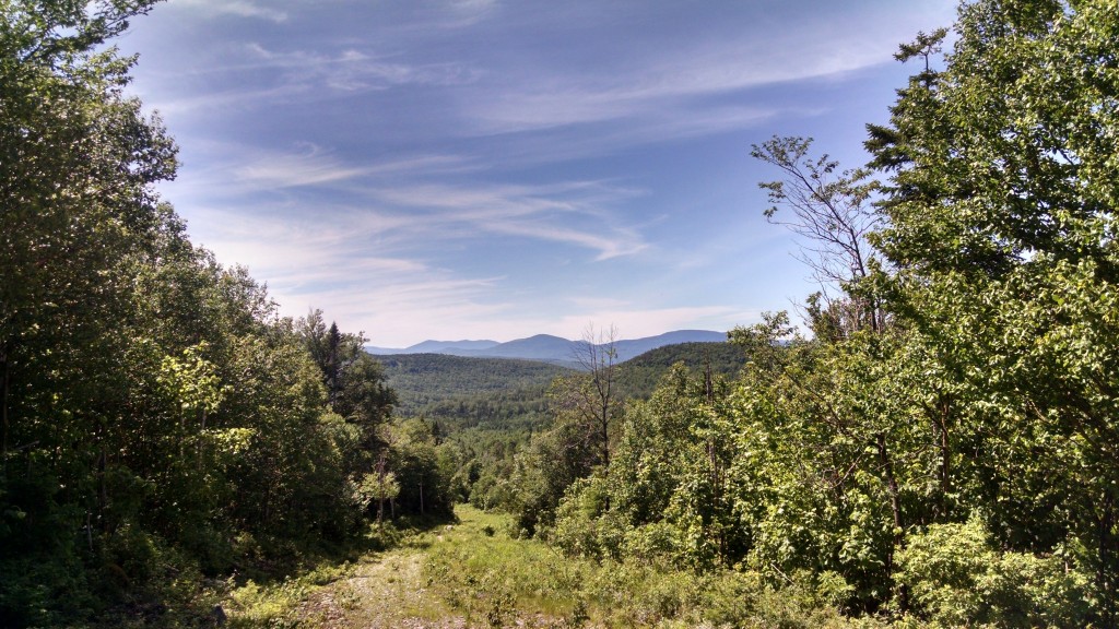
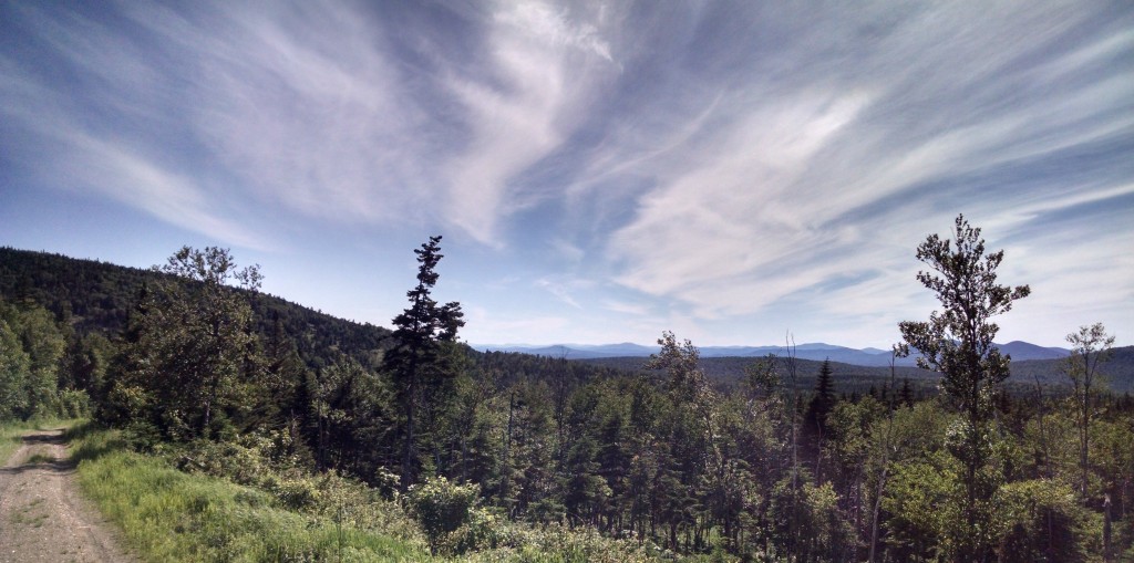
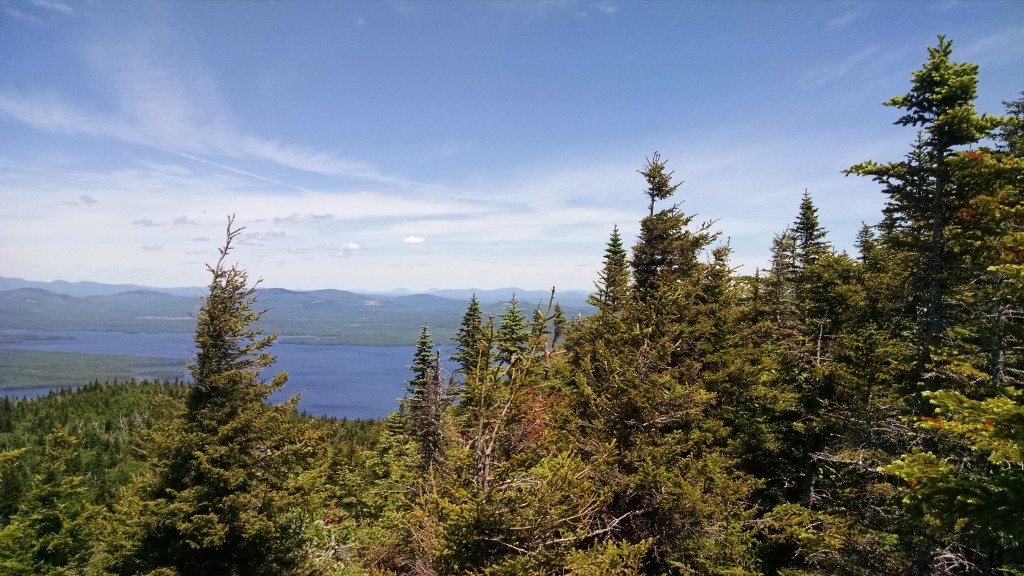
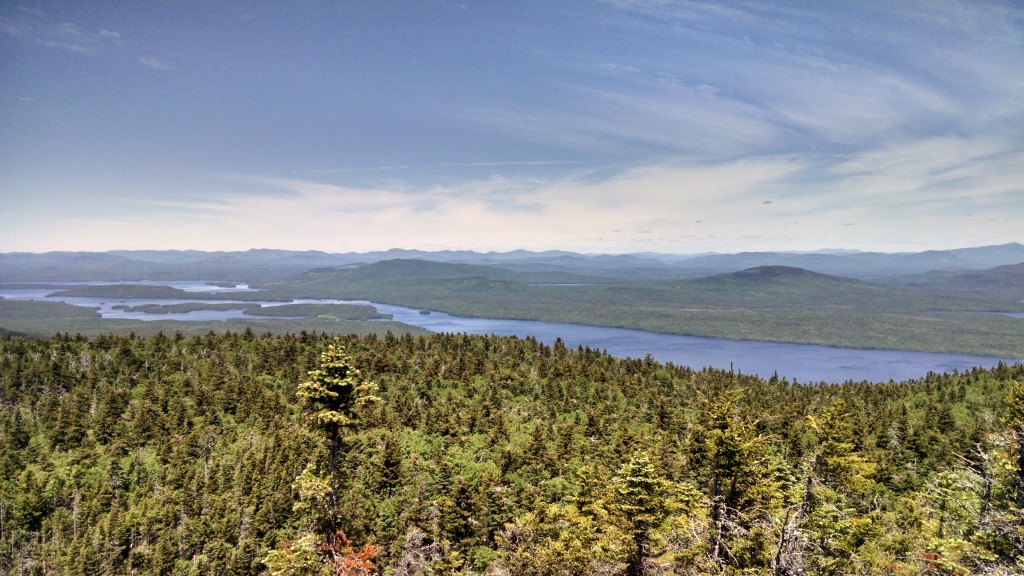
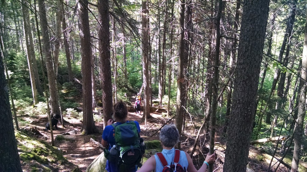
McKinley and Rucker navigated a complicated set of logging roads to reach an abandoned road leading to Appalachian Trail lands up and to the east, where they proceeded on foot. Many of the roads at Redington are well on the way to reverting to “herd path” status and provide for a nice hiking experience. The paths show signs of use by black bear, moose, white-tailed deer and other species. There are many vernal pools. McKinley was pleasantly surprised by the health of the forest as they headed up in elevation to areas above 2,700 feet. The numerous streams flowed back to the main branch of Nash Stream through steep ravines lined with poplar (aka big-toothed aspen) and spruce. There were groves of tamarack and yellow birch as well.
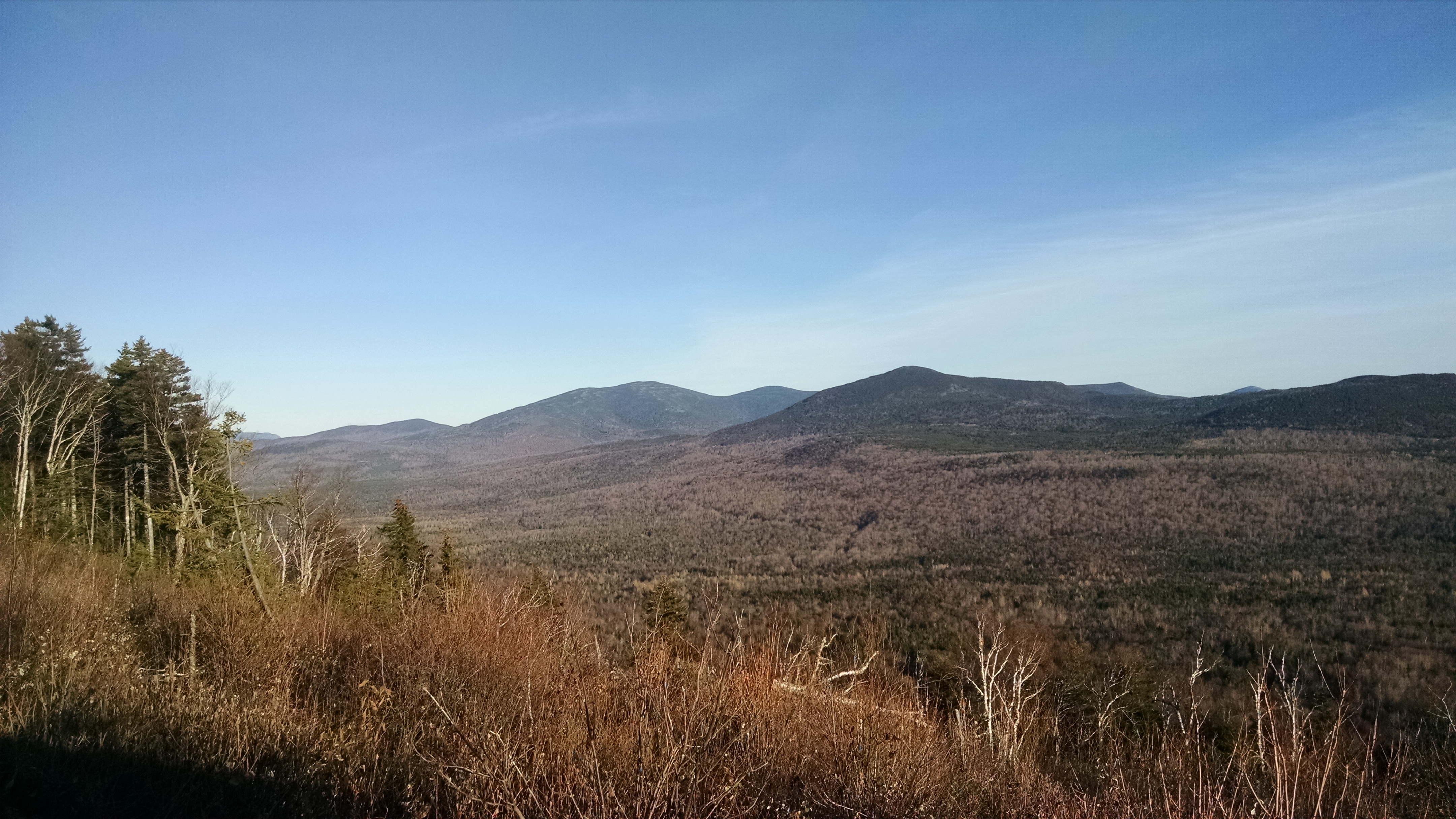
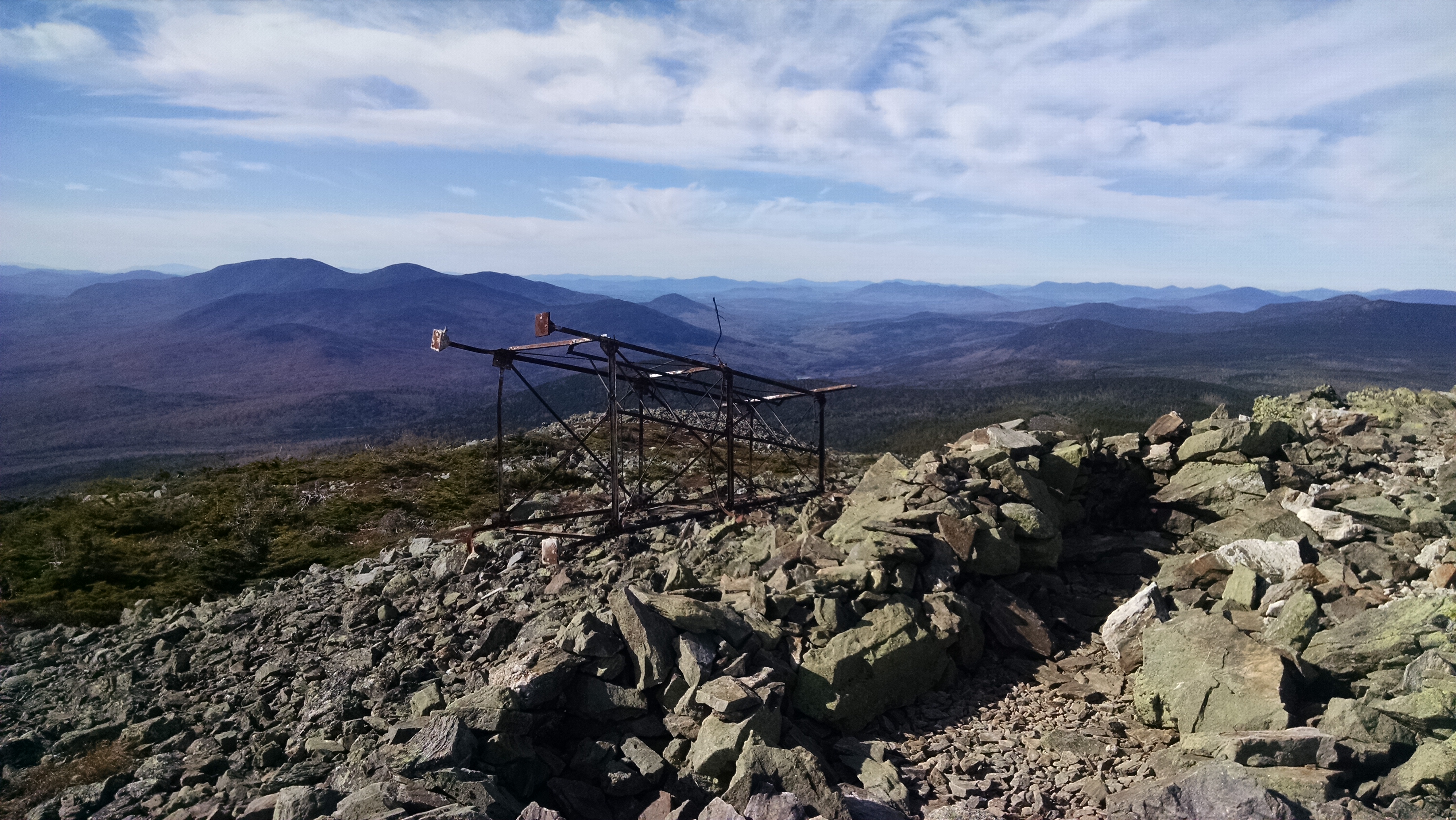
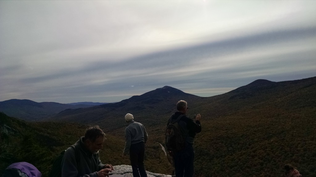
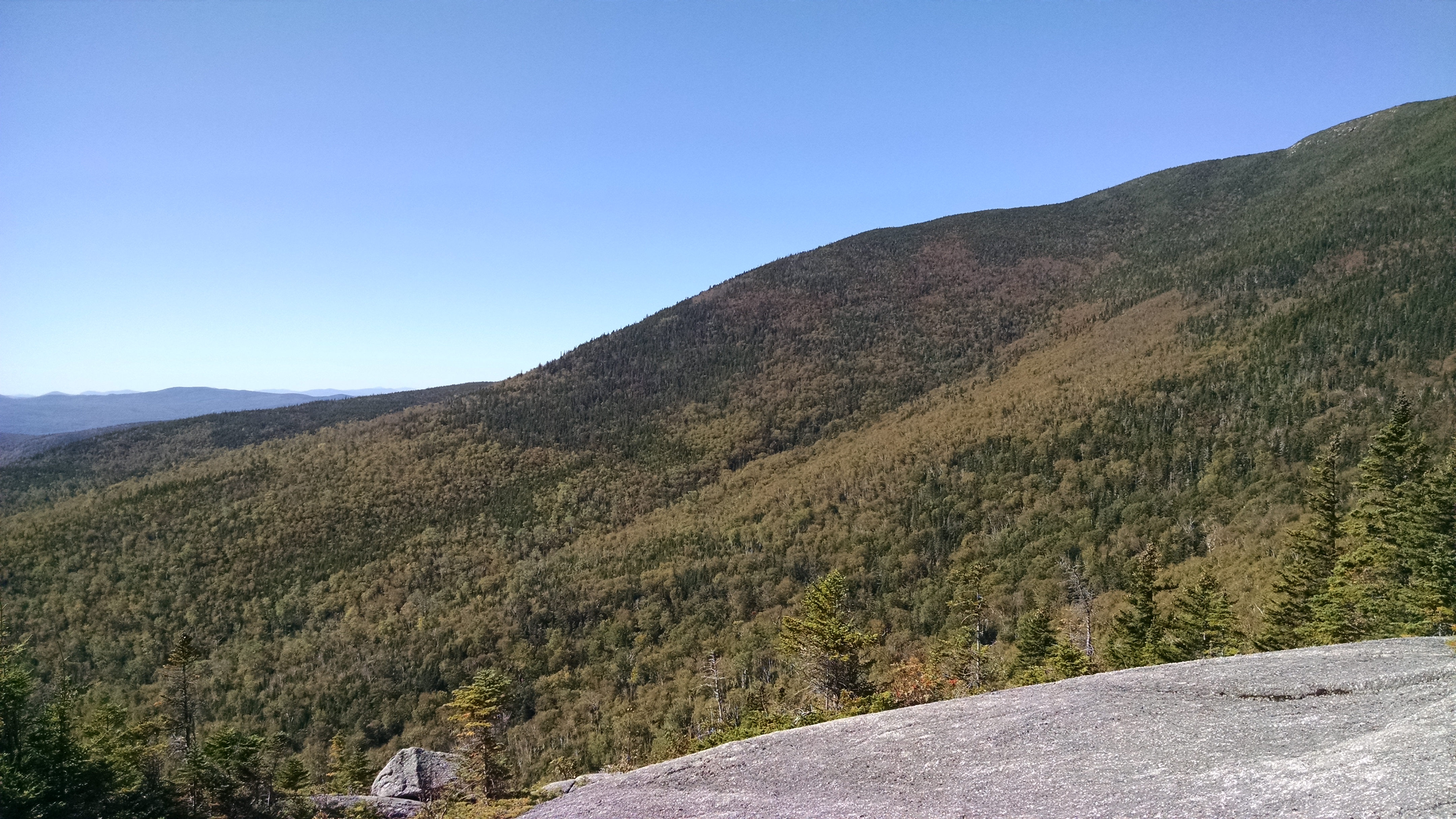
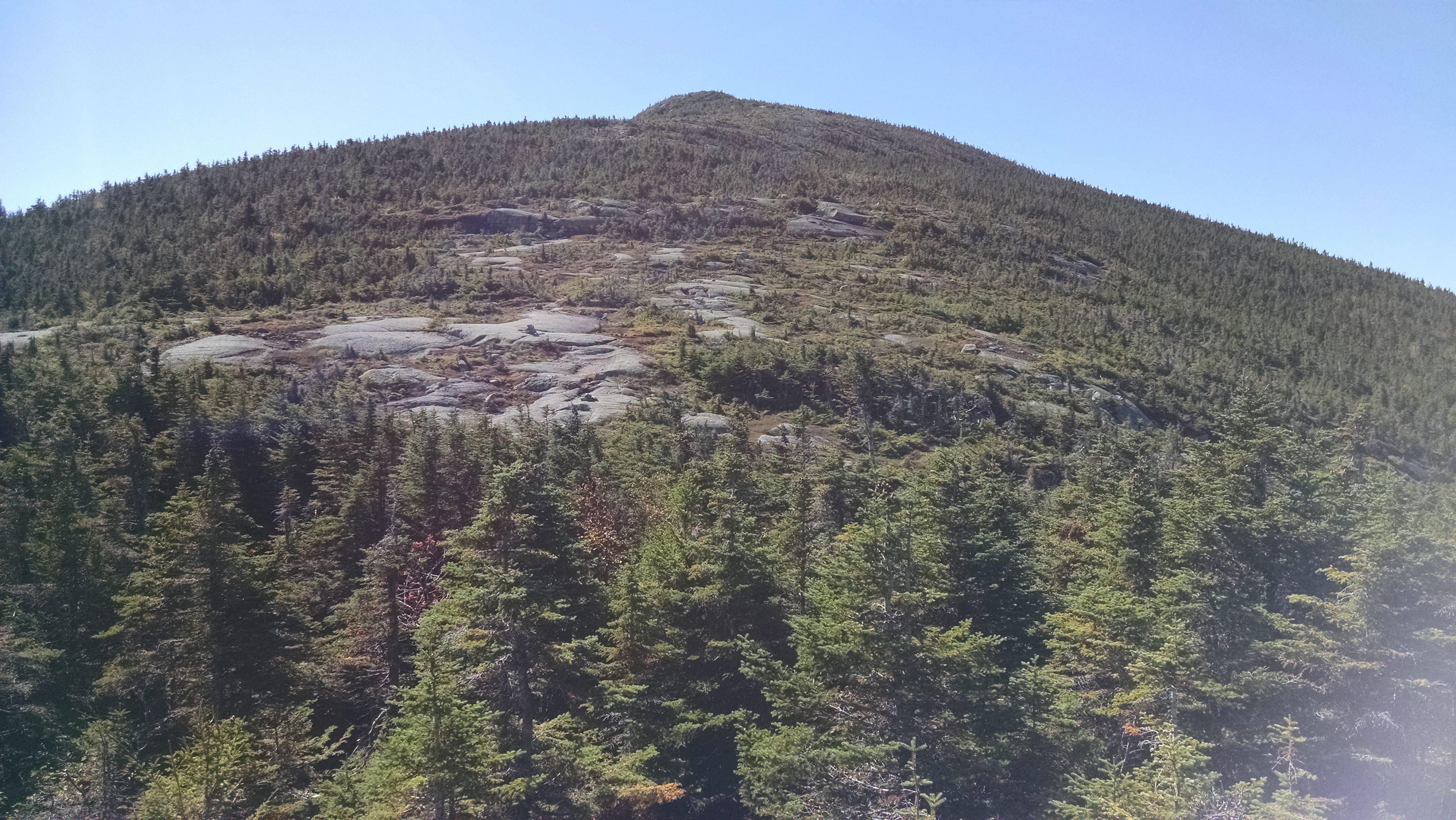
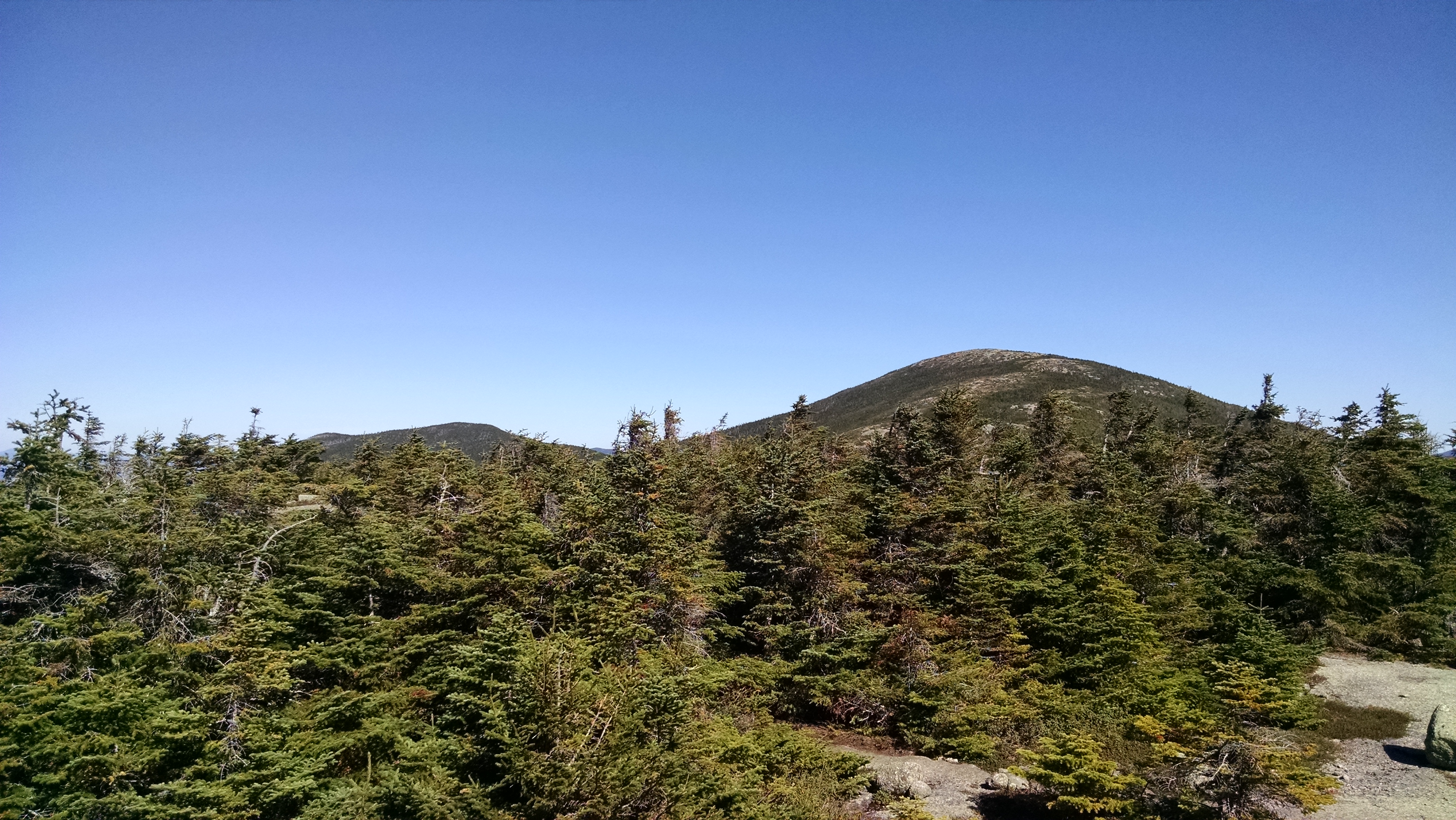
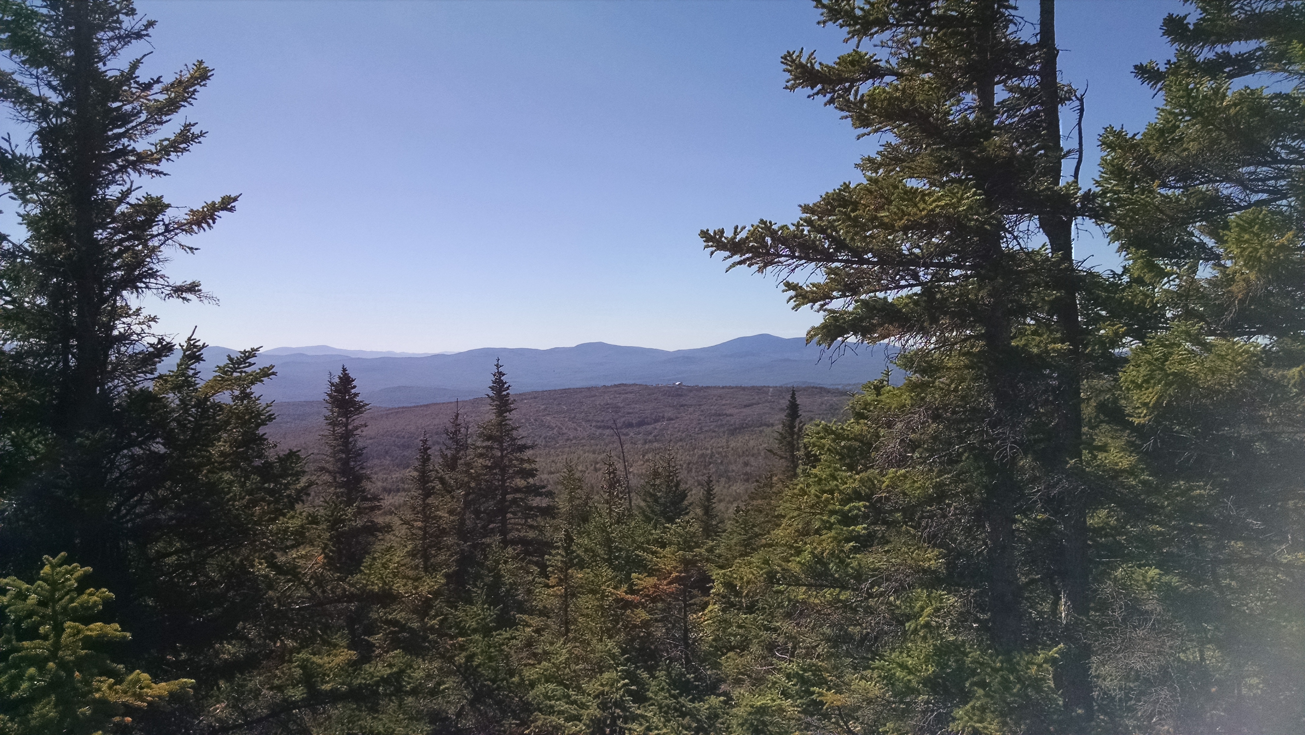
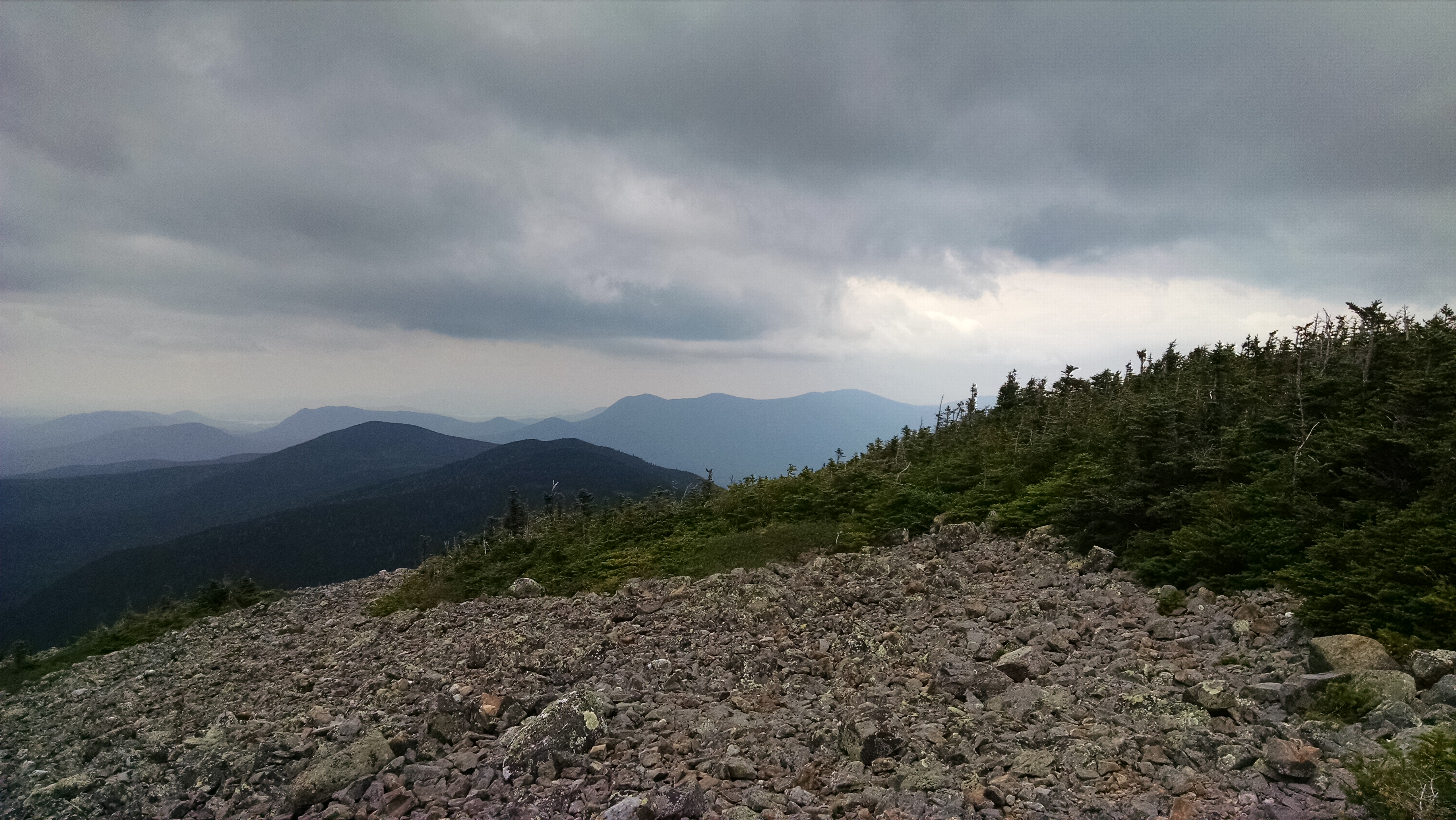
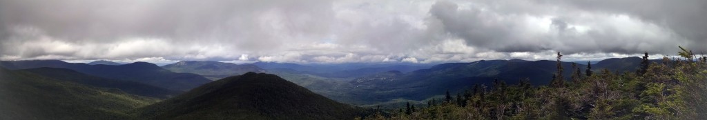
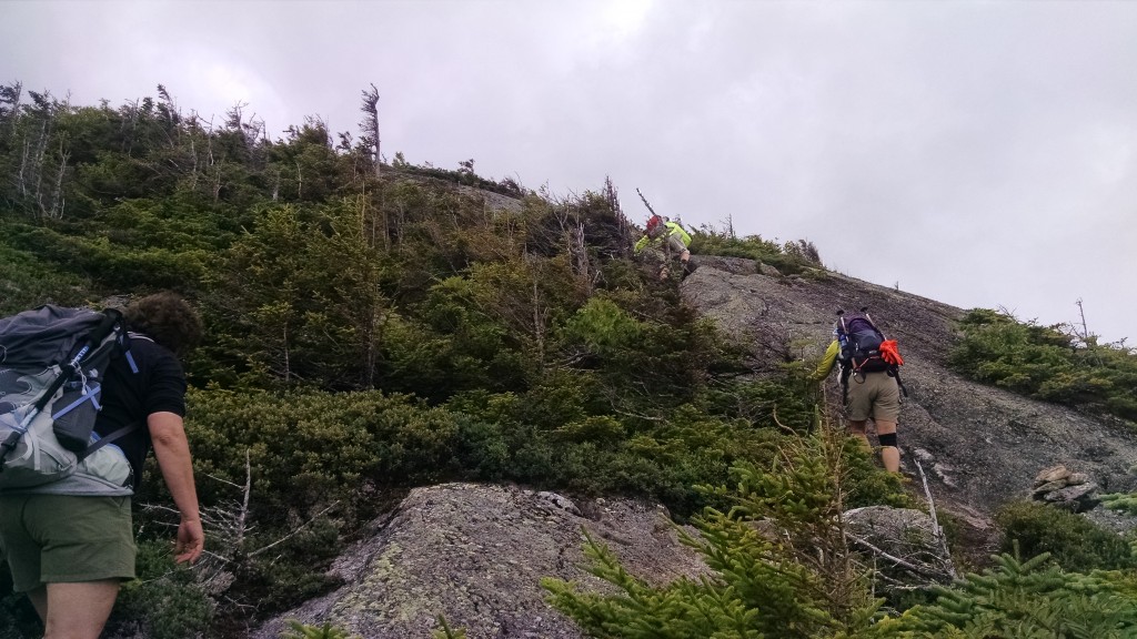
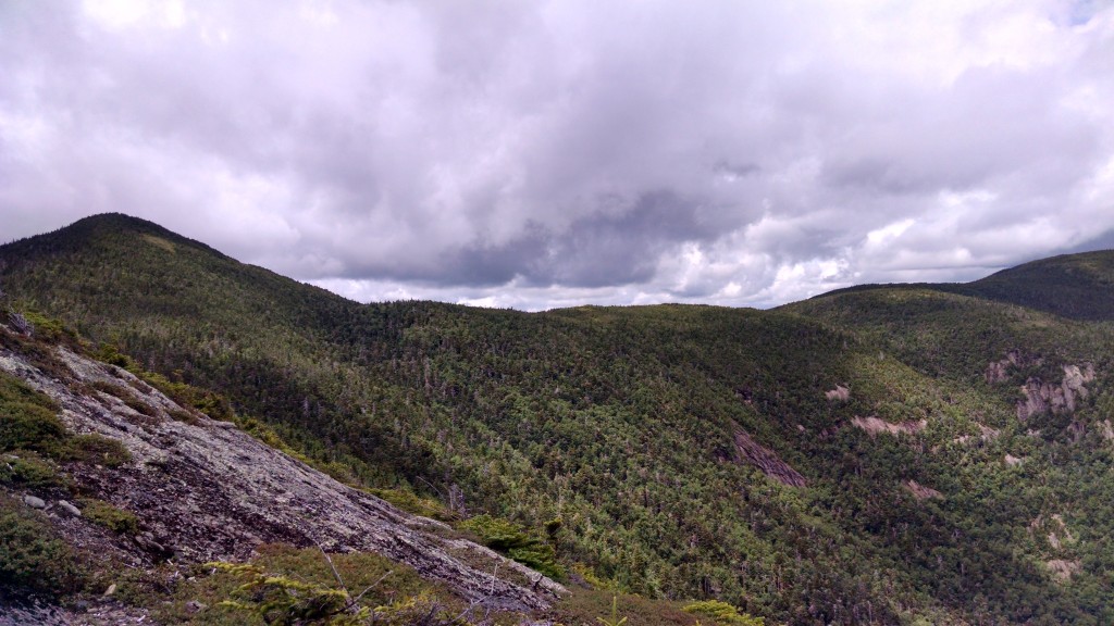
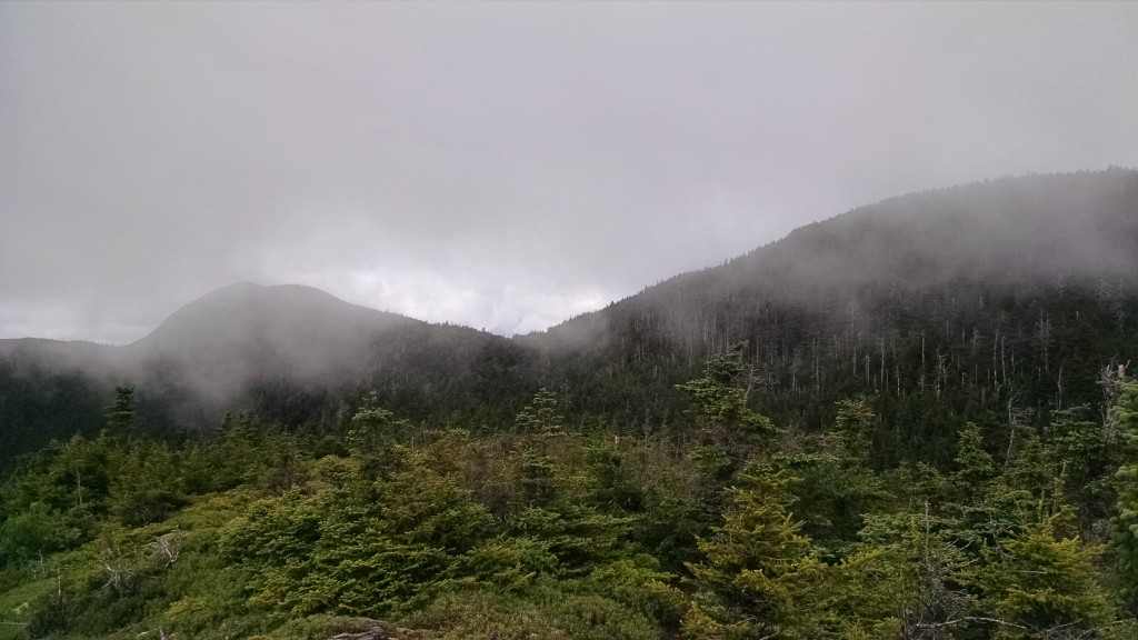
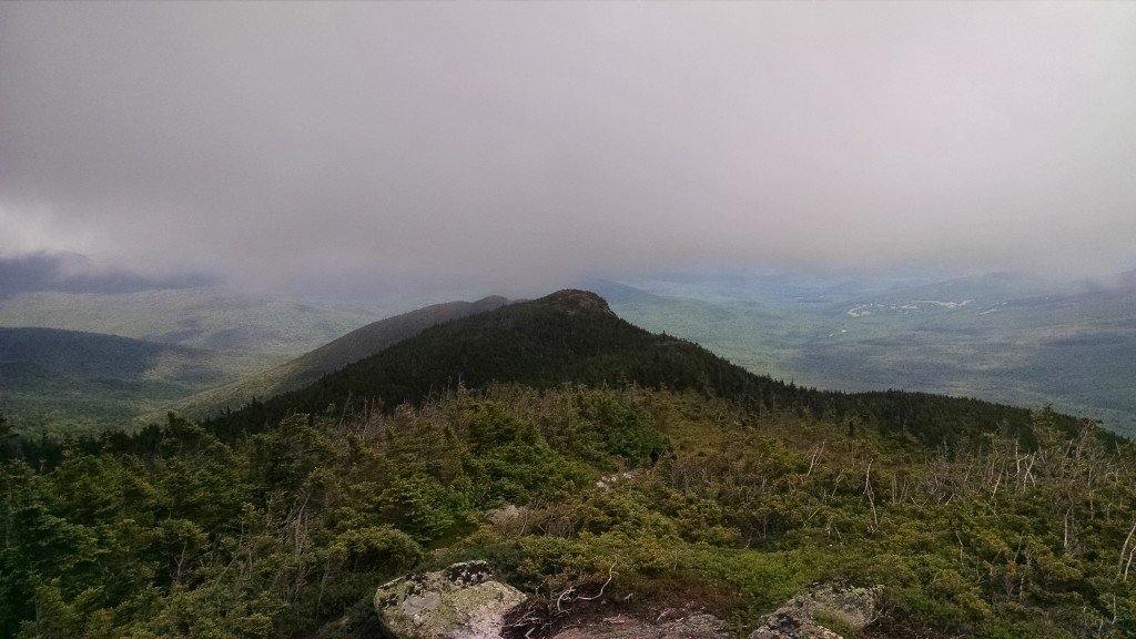
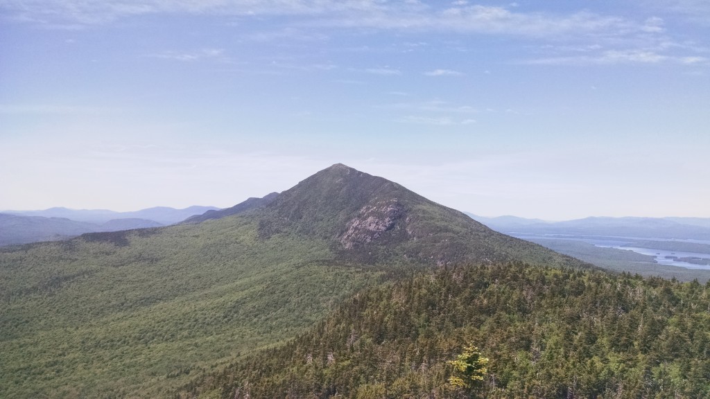
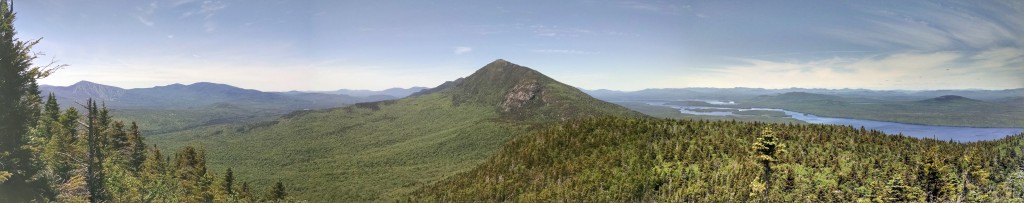
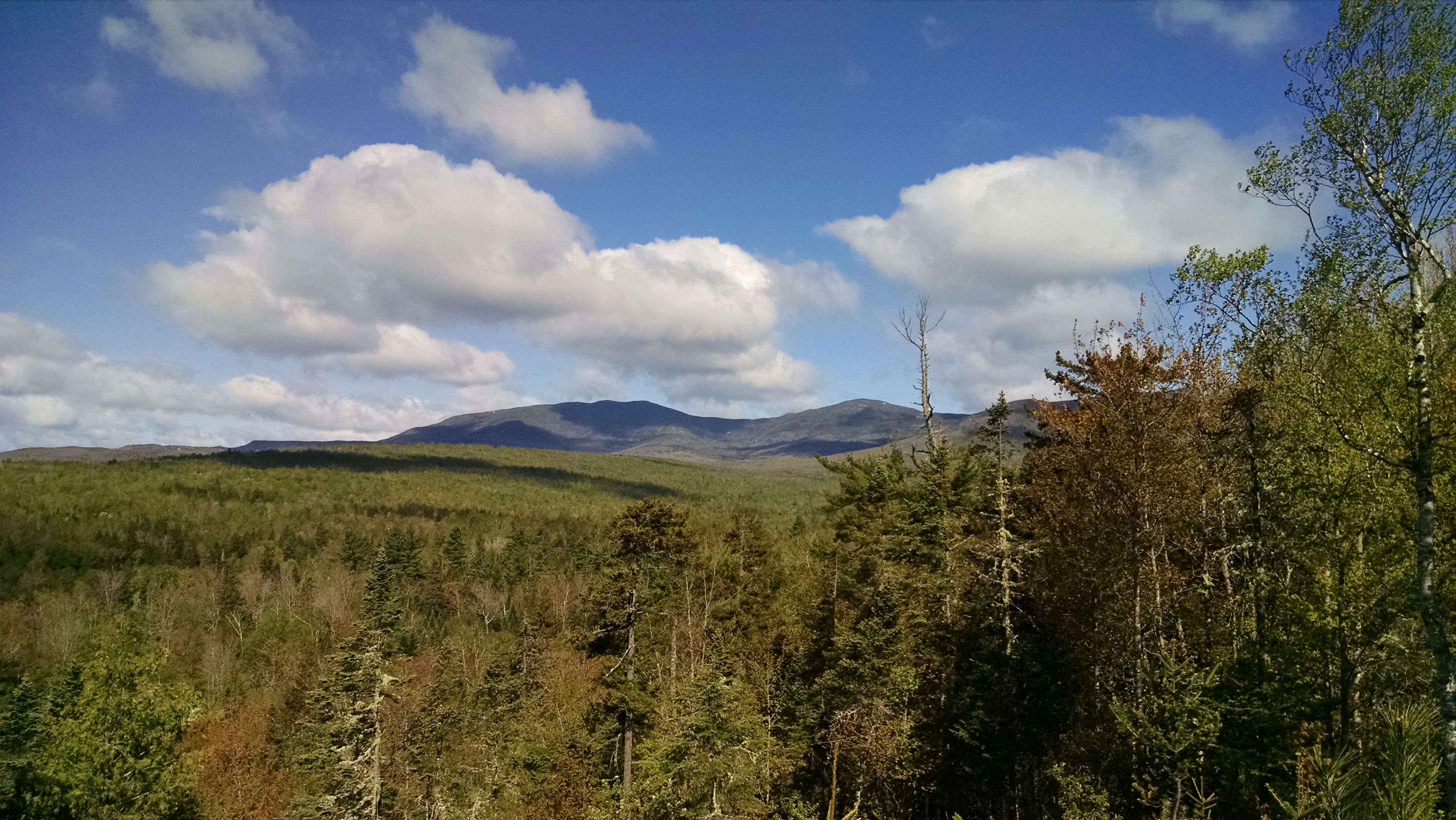
As the elevation increased, there were sightings of spruce grouse and the forest type transitioned to spruce-fir. This area borders the State of Maine’s Crocker Mountain Ecoreserve area and under the Redington Forest conservation easement, this area would have a similar reserve status. The presence of numerous species of ecological importance, such as Boreal Chickadee, indicated to McKinley and Rucker that Redington Forest was indeed a special property. This notion was supported by a nice day hike and numerous spectacular views of the Crockers, Mount Redington, Black Nubble and other peaks all the way to Quebec.
List of bird species present:
Swainson’s Thrush, Black-throated Green Warbler, Spruce Grouse, Golden-crowned Kinglet, Boreal Chickadee, American Redstart, Magnolia Warbler.